The best cycling routes in Unicoi County
5.0
(8)
110
riders
8
rides
Touring cycling in Unicoi County offers diverse landscapes within the Appalachian Mountains of Northeast Tennessee. The region features the Unaka Mountains, extensive portions of the Cherokee National Forest, and the Nolichucky River. Cyclists can explore a mix of paved trails, winding valleys, and more challenging logging roads that trace streams and creeks. This environment provides varied terrain for different touring cycling experiences.
Best touring cycling routes in Unicoi County
- The most popular touring cycling route is Tweetsie Trail Loop, a 20.0 miles (32.2 km) trail that takes 2 hours 7 minutes to complete. This moderate route offers a substantial ride through the area.
- Another top favourite among local touring cyclists is Fort Watauga – Tweetsie Trail loop from Johnson City, a moderate 17.6 miles (28.3 km) path. This route provides a scenic journey originating from Johnson City.
- Local touring cyclists also love the Founders Park – C&O Depot loop from Johnson City, a 13.8 miles (22.2 km) trail leading through urban and natural landscapes, often completed in about 1 hour 28 minutes.
- Touring cycling in Unicoi County is defined by the Appalachian Mountains, the Cherokee National Forest, and winding river valleys. The network offers options for different ability levels, from paved paths to more rugged logging roads.
- The routes in Unicoi County are highly rated by the komoot community with an average score of 5.0 stars from 5 reviews. More than 80 touring cyclists have used komoot to explore Unicoi County's varied terrain.
Last updated: July 16, 2026
1
riders
32.2km
02:08
320m
320m
Embark on the Tweetsie Trail Loop for a moderate touring cycling adventure spanning 20.0 miles (32.2 km). You will pedal through picturesque pastures and alongside hardwood forests, gaining 1060 feet (323 metres) in elevation over approximately 2 hours and 7 minutes. The route offers a pleasant experience, winding past scenic overlooks, such as one near the Cranberry Quarry. You'll also cross seven bridges, including a distinctive enclosed bridge that carries you over U.S. Highway 321. This trail provides a refreshing escape into nature, especially vibrant with autumnal colors if you visit in the fall.
Planning your ride on the Tweetsie Trail Loop is straightforward, as the route is accessible year-round. Convenient amenities await you at the trailheads, particularly in Johnson City, where you will find paved parking, benches, and water fountains. There is even a bike repair station available for any quick adjustments you might need before setting off. Restrooms are also strategically placed along the trail, including one in Elizabethton designed to accommodate your bicycle.
The Tweetsie Trail holds a unique place in the region, built upon a historic rail-trail corridor. This path once served the East Tennessee and Western North Carolina Railroad, affectionately known as the "Tweetsie" due to the sound of its steam whistles. Today, it offers a blend of natural beauty and historical significance, allowing you to cycle through landscapes that have witnessed over a century of local history. The trail's well-maintained surface makes it a popular choice for cyclists seeking both exercise and a connection to the past.
5.0
(1)
49
riders
28.3km
01:50
190m
190m
Moderate bike ride. Good fitness required. Mostly paved surfaces. Suitable for all skill levels.

Sign up for free
5.0
(4)
17
riders
22.2km
01:28
190m
190m
Moderate bike ride. Good fitness required. Mostly paved surfaces. Suitable for all skill levels.
5.0
(2)
15
riders
19.1km
01:14
160m
160m
Moderate bike ride. Good fitness required. Mostly paved surfaces. Suitable for all skill levels.
6
riders
6.87km
00:25
30m
30m
Easy bike ride. Great for any fitness level. Mostly paved surfaces. Suitable for all skill levels.
5.0
(1)
9
riders
30.8km
02:02
290m
290m
Embark on a diverse touring cycling adventure with the Founders Park – Johnson City loop, a moderate 19.1-mile (30.8 km) route that promises a blend of natural beauty and urban charm. Starting from the Elizabethton Municipal Golf Course, you'll soon join the Tweetsie Trail, a crushed gravel path winding through woods and alongside a stream, offering scenic views. The journey culminates in Founders Park, a vibrant urban green space in Johnson City, featuring paved paths, public art, and a tranquil creek, all set against the backdrop of the Appalachian Mountains. Expect about 954 feet (291 metres) of elevation gain over roughly 2 hours and 2 minutes of riding.
To plan your visit, note that the Tweetsie Trail is well-equipped with amenities like bike repair stations and water fountains, making it convenient for cyclists. While the trail's packed rock surface is generally flat, it's best tackled with a hybrid, gravel, or mountain bike, as road bikes might find it a bit rough. Founders Park is highly accessible, and the route connects via local roads, so be prepared for mixed terrain.
This route offers a unique historical perspective, as the Tweetsie Trail is a rails-to-trails project preserving the legacy of the East Tennessee & Western North Carolina Railroad, with interpretive markers along the way. You can also access historical sites like Sabine Hill and Sycamore Shoals State Historic Park from the trail. Founders Park itself serves as an urban oasis, conveniently located near downtown Johnson City's shops and restaurants.
6
riders
21.2km
02:16
570m
560m
Hard bike ride. Very good fitness required. Mostly paved surfaces. Suitable for all skill levels.
Our route recommendations are based on thousands of hikes, rides, and runs completed by other people on komoot.
Start today with a free account
Your next adventure awaits.
Login or Signup

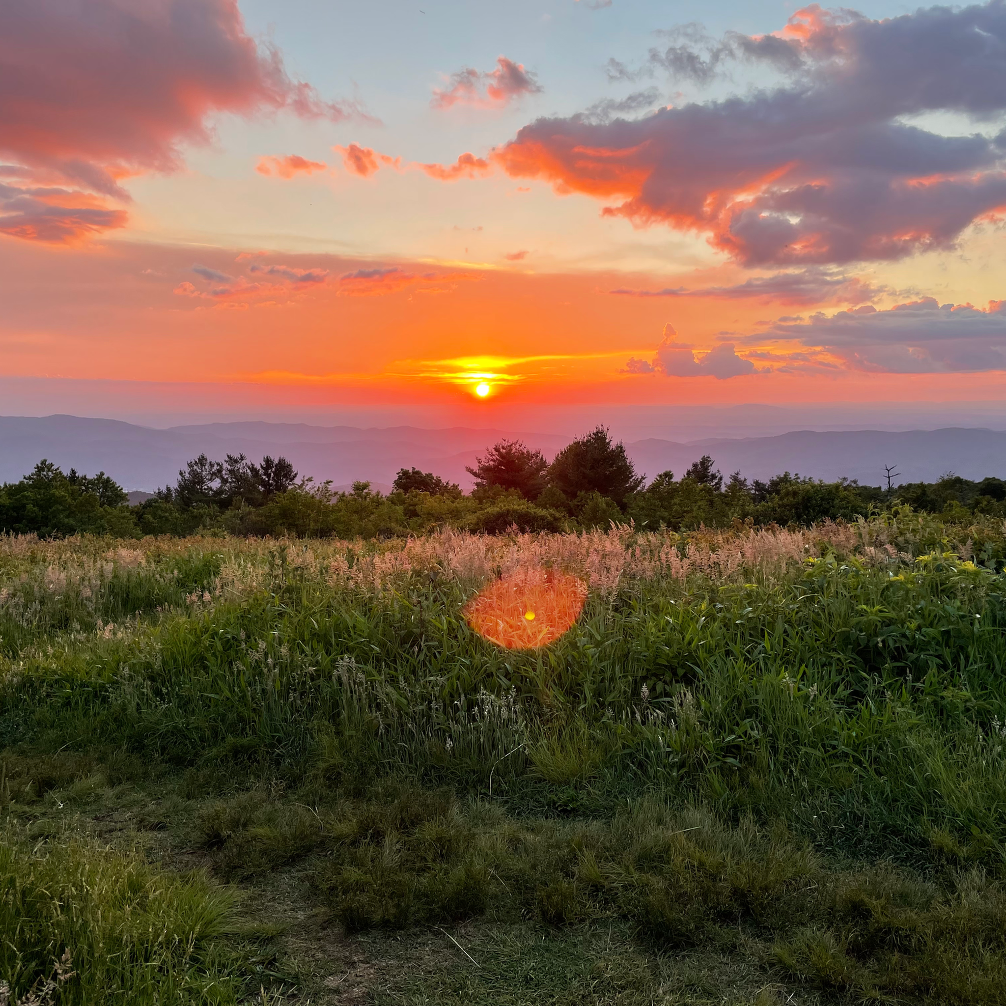


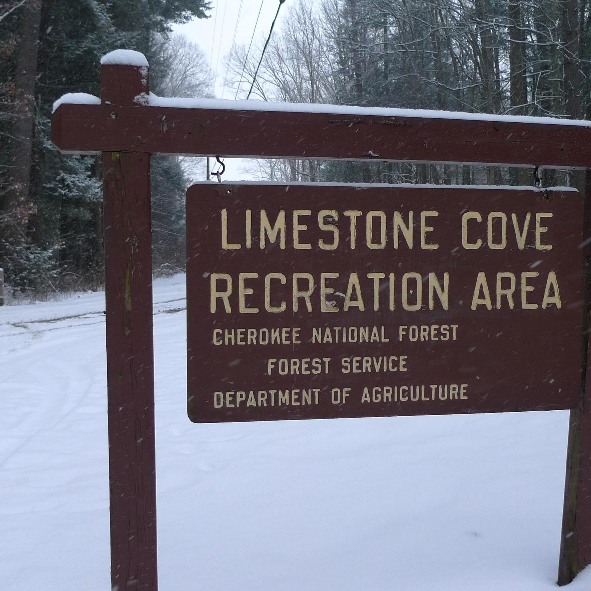
Tips from the Community

Johnson City is situated at the Appalachian foothills and is a popular destination for hikers. There are several multiuse trails that cut through the city, as well as numerous trails in the nearby hills.
0
0
Founders Park is a 5-acre green space located in downtown Johnson City. There are several trails that take you through the park, as well as picnic tables and benches.
0
0
The State of Franklin Linear Trail is a 5 mile mulituse trail. The path is popular with hikers, cyclists and runners. The trail is fully paved, without much elevation gain, so it is not a challenging trail.
0
0
The C&O Depot in Johnson City, Tennessee, originally served as the Carolina, Clinchfield & Ohio Railway station, playing a pivotal role in the city's development as a major rail hub in the early 20th century. Today, the restored building functions as the Johnson City Visitor Center, preserving its historical significance while welcoming travelers to the region.
0
0
Fort Watauga is a historic fortification constructed by early frontier settlers in the Watauga region during the late 18th century. It served as a key defensive outpost designed to protect the community from external threats. It is now open to visitors who want to learn more about the history of the local area.
0
0
The Elizabethton Covered Bridge, was built in 1882 over the Doe River It is a 154-foot-long truss bridge that has survived numerous floods, including the 1901 flood and Hurricane Helene in 2024. It is closed to vehicles but open to pedestrians and cyclists.
0
0

Fort Watauga is actually a reconstruction of the original fort that was here. Each year there are several different educational events that take place here. Sycamore Shoals State Historic Park surrounds the fort and is also interesting to visit. It is not far off the Tweetsie Trail, making it an easy and interesting stop while out on a bike.
0
0
This bridge was built in 1882 in order to allow the town of Elizabethton to grow to the south. Each June there is a festival/parade that honors the bridge. Although the bridge is no longer open to motor vehicle traffic, it is still open to both bicycles and pedestrians throughout the year. Cyclists must dismount before crossing.
0
0
Frequently Asked Questions
How many touring cycling routes are available in Unicoi County?
Unicoi County offers a selection of touring cycling routes, with at least 5 routes detailed on komoot. These routes range in difficulty from moderate to difficult, providing options for various skill levels.
Are there any easy or family-friendly touring cycling routes in Unicoi County?
Yes, for those seeking a flatter, paved experience suitable for families, the Erwin Linear Trail offers nearly five miles of shared-use path. While not explicitly listed as an easy route in the komoot data, its description suggests it's a good option for a relaxed ride.
What kind of terrain can I expect on touring cycling routes in Unicoi County?
The terrain in Unicoi County is diverse, ranging from paved paths like the Erwin Linear Trail to more challenging logging roads within the Cherokee National Forest. You'll encounter majestic mountain peaks, winding valleys, and routes tracing streams and creeks, offering both scenic beauty and varied riding conditions.
Are there any circular touring cycling routes in the area?
Yes, many of the touring cycling routes in Unicoi County are designed as loops. For example, the Tweetsie Trail Loop is a popular moderate route covering 20 miles, and the Fort Watauga – Tweetsie Trail loop from Johnson City also offers a scenic circular journey.
What are some scenic viewpoints or natural features I can explore while cycling?
Unicoi County is rich in natural beauty. You can find stunning panoramic views at Beauty Spot, or explore areas like the Unaka Mountain Overlook. The region is also home to picturesque waterfalls such as Red Fork Falls, Still Branch Falls, and Martin Creek Falls, which add to the scenic charm. The Appalachian Trail also traverses the county, offering scenic backdrops.
Are there any challenging touring cycling routes for experienced riders?
Absolutely. For experienced touring cyclists, the Cherokee National Forest offers nearly 10 miles of marked mountain biking trails that connect to 8,000 acres of remote, unmarked logging roads. These primitive roads provide scenic and challenging rides with rough terrain and stream crossings. The Bike loop from Cherokee Mountain is also rated as difficult, featuring significant elevation gain.
What do other cyclists say about touring cycling in Unicoi County?
The touring cycling routes in Unicoi County are highly rated by the komoot community, with an average score of 5.0 stars from 5 reviews. Over 80 touring cyclists have used komoot to explore the varied terrain, often praising the region's diverse landscapes and challenging options.
Where can I find parking for touring cycling routes in Unicoi County?
While specific parking details for each route are best checked on individual komoot tour pages, many trailheads and parks in Unicoi County offer parking. For instance, areas like Lamar Alexander Rocky Fork State Park, Erwin Fishery Park, and Rock Creek Recreation Area are known for their facilities and access to trails, likely including parking.
Are there any parks or recreation areas near the cycling routes?
Yes, Unicoi County features several parks and recreation areas. Erwin Fishery Park, surrounded by the Unaka Mountains, offers hiking trails and connects to the Erwin Linear Trail. Rock Creek Recreation Area provides short hiking trails, picnic facilities, and an easy bicycle trail. Chestoa Recreation Area, located along the Nolichucky River, also has picnic areas and foot trails. For more information on parks, you can visit visitunicoicounty.com/adventure/parks/.
What is the best time of year for touring cycling in Unicoi County?
Unicoi County offers outdoor activities throughout the year. Spring and fall generally provide pleasant temperatures and vibrant scenery, making them ideal for touring cycling. Summer can be warm but offers lush green landscapes, while winter might present challenges with colder temperatures and potential snow in higher elevations, especially on more primitive routes.
Can I combine touring cycling with other outdoor activities in Unicoi County?
Absolutely. Unicoi County is an outdoor enthusiast's paradise. Beyond touring cycling, you can explore portions of the Appalachian Trail for hiking, enjoy whitewater adventures on the Nolichucky River, or visit areas like Lamar Alexander Rocky Fork State Park for additional trails and natural beauty. Many areas, such as Indian Grave Gap, are accessible by both bike and foot.
Are there routes that start from Johnson City?
Yes, several touring cycling routes originate from Johnson City, providing convenient access to the Unicoi County area. Examples include the moderate Fort Watauga – Tweetsie Trail loop from Johnson City and the Founders Park – C&O Depot loop from Johnson City.
Most popular routes in Unicoi County

Get inspired with the komoot mobile app


Didn’t find what you were looking for?
Check out more Cycling routes throughout Unicoi County below and find the perfect route in your destination.
Explore more
Browse the best Cycling routes in other regions.
