The best road cycling routes in Sarpy County
4.3
(53)
1,046
riders
24
rides
Road cycling in Sarpy County features a landscape characterized by the Platte River and its bluffs, along with extensive forests such as Fontenelle Forest. The region includes rolling hills and several reservoirs, offering varied terrain for cyclists. Paved trails like the Big Papio Trail provide accessible routes through both urban and natural settings. This blend of natural features and dedicated infrastructure makes Sarpy County suitable for diverse road cycling experiences.
Best road cycling routes in Sarpy County
- The most popular…
Last updated: October 19, 2026
4.0
(2)
72
riders
39.3km
02:06
50m
50m
Moderate road ride. Good fitness required. Mostly well-paved surfaces and easy to ride.
5.0
(1)
38
riders
49.4km
02:41
220m
220m
Moderate road ride. Good fitness required. Mostly well-paved surfaces and easy to ride.

53
riders
56.8km
03:00
130m
130m
Moderate road ride. Good fitness required. Mostly well-paved surfaces and easy to ride.
46
riders
Easy road ride. Great for any fitness level. Mostly well-paved surfaces and easy to ride.
22
riders
52.5km
02:50
140m
140m
Moderate road ride. Good fitness required. Mostly well-paved surfaces and easy to ride.
22
riders
66.0km
03:31
180m
180m
Moderate road ride. Good fitness required. Mostly well-paved surfaces and easy to ride.
18
riders
29.0km
01:33
140m
140m
Easy road ride. Great for any fitness level. Mostly well-paved surfaces and easy to ride.
32
riders
Moderate road ride. Good fitness required. Some segments of this route may be unpaved and difficult to ride.
5.0
(1)
28
riders
Moderate road ride. Good fitness required. Some segments of this route may be unpaved and difficult to ride.
4.0
(1)
17
riders
Easy road ride. Great for any fitness level. Mostly well-paved surfaces and easy to ride.
Get access to more routes and recommendations from other explorers.
Already have an account?
Our route recommendations are based on thousands of hikes, rides, and runs completed by other people on komoot.
Start today with a free account
Your next adventure awaits.
Popular around Sarpy County
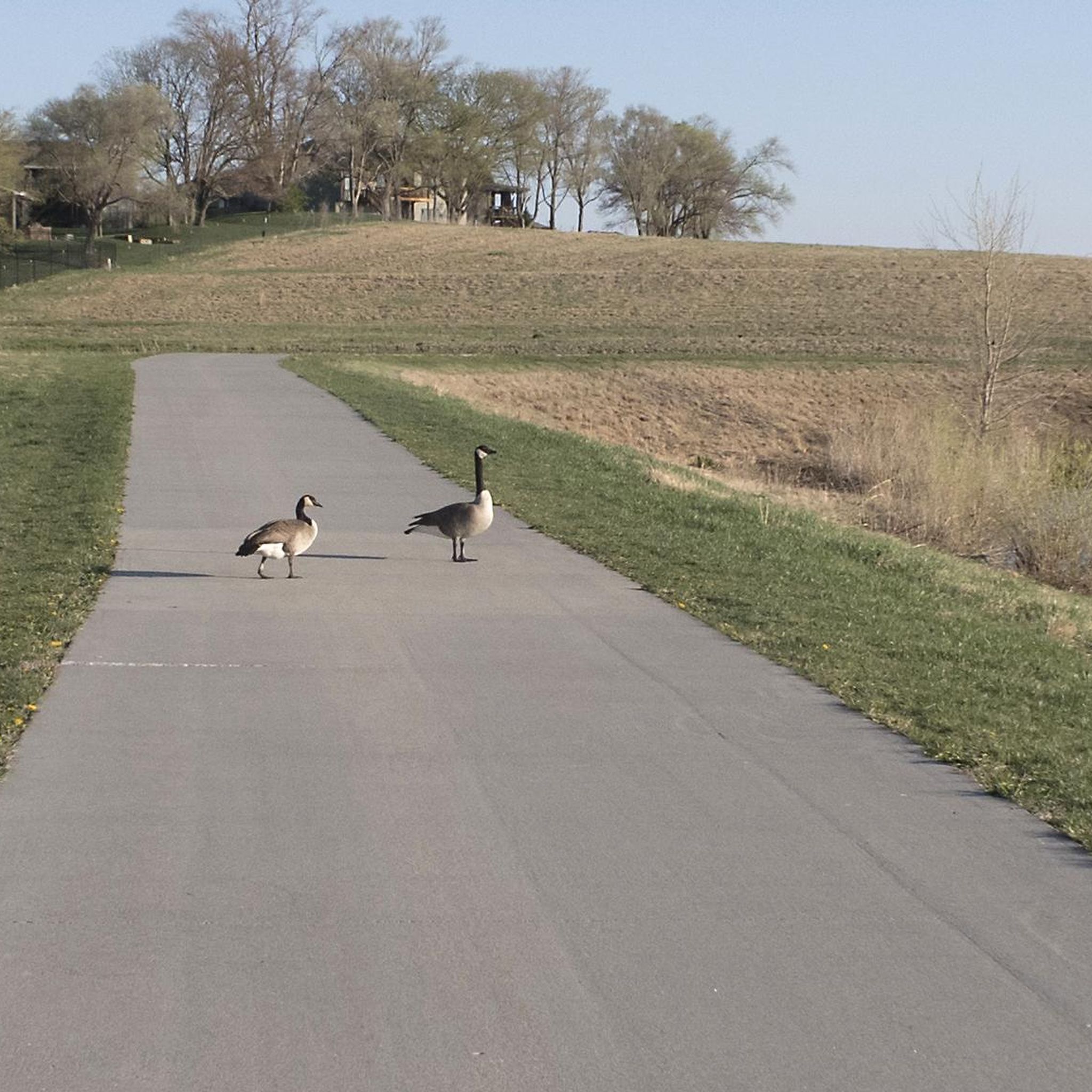
Road Cycling Routes in Prairie Queen Recreation Area
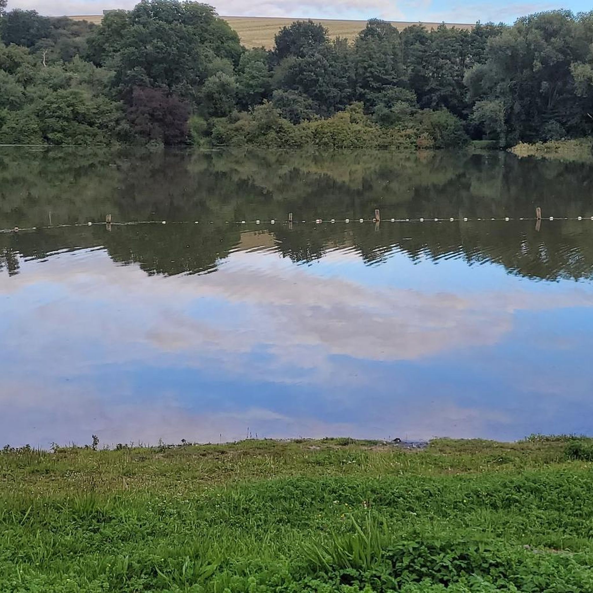
Road Cycling Routes in Big Elk Lake Recreation Area

Road Cycling Routes around Chalco
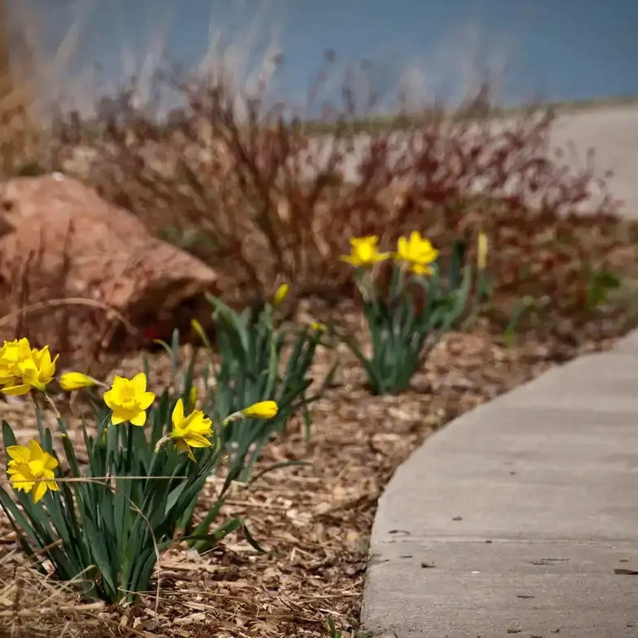
Road Cycling Routes in Walnut Creek Recreation Area
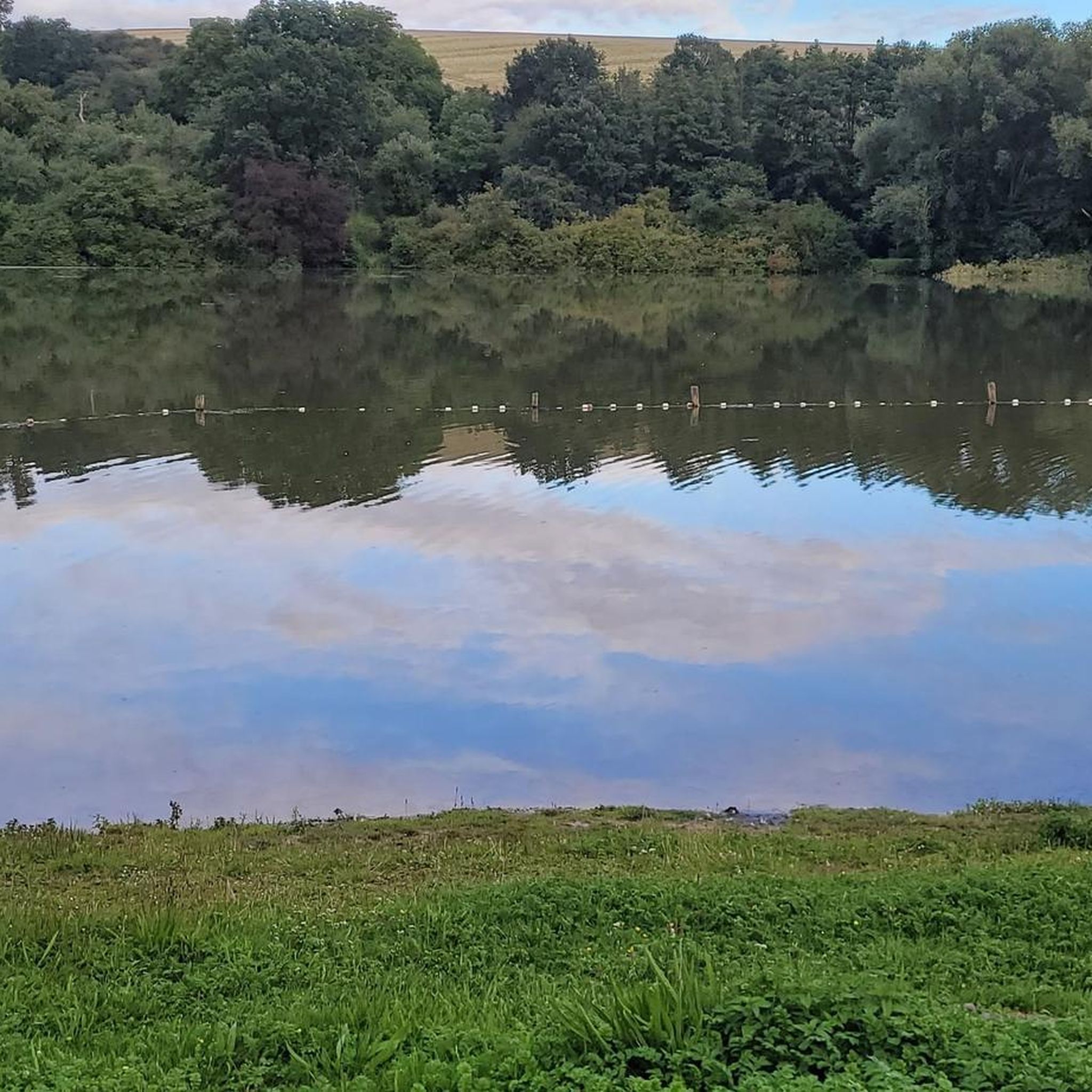
Road Cycling Routes around Richfield
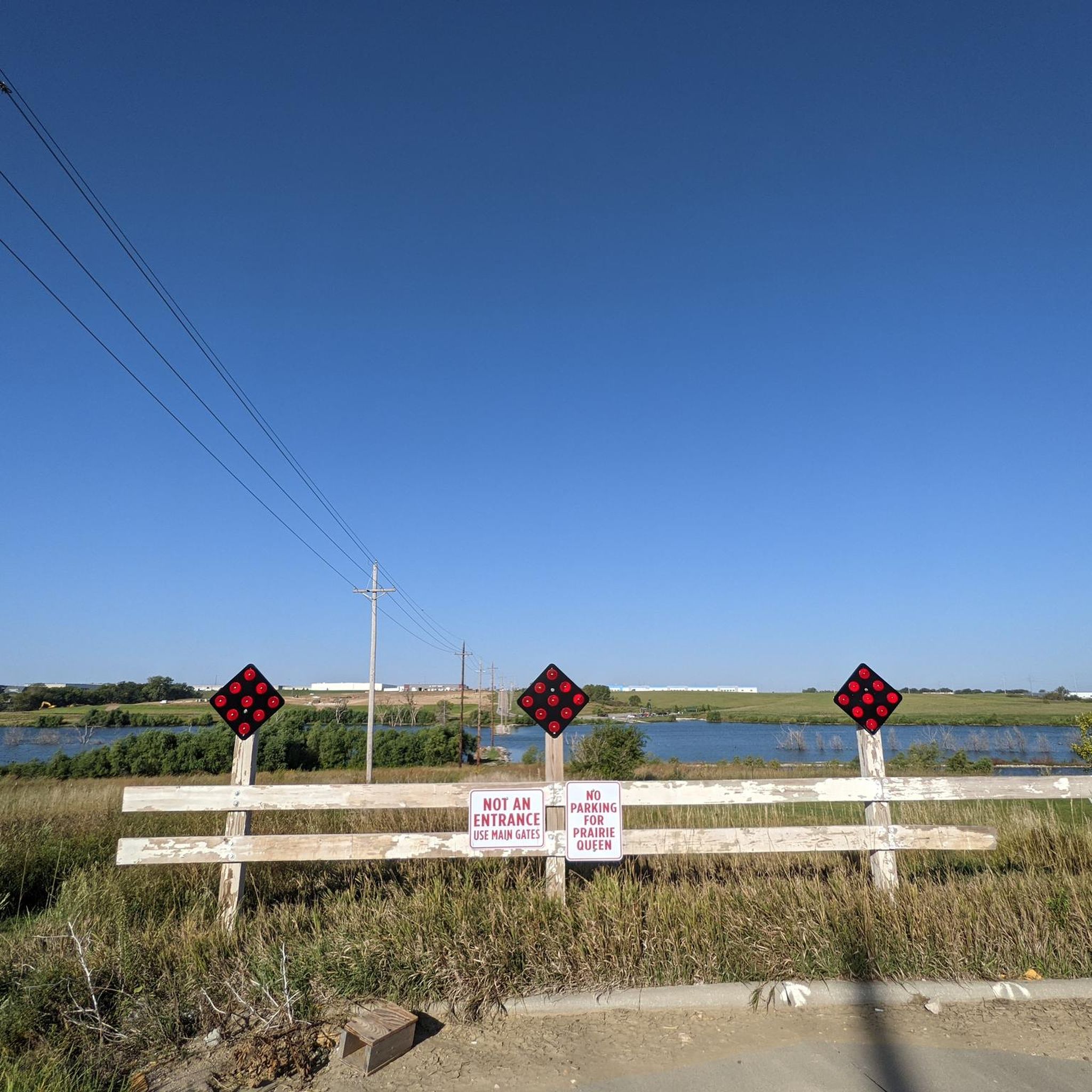
Road Cycling Routes around Papillion
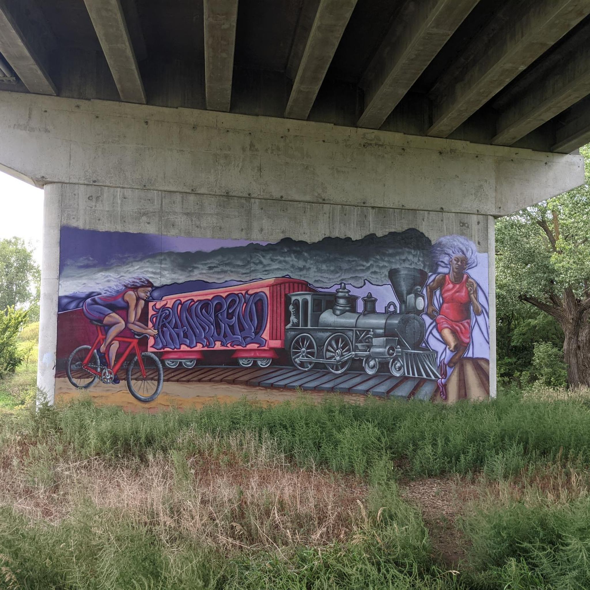
Road Cycling Routes around La Vista
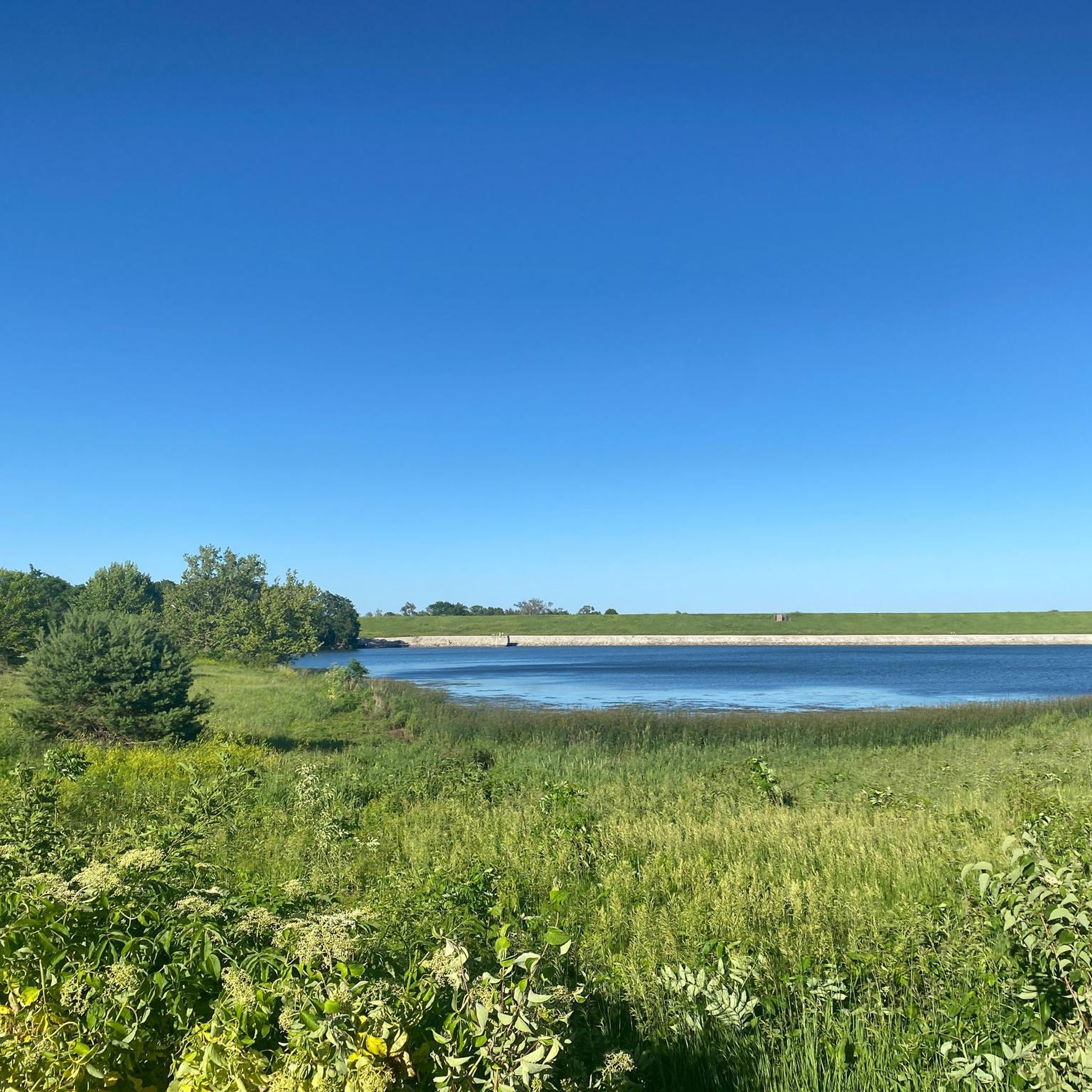
Road Cycling Routes around Bellevue
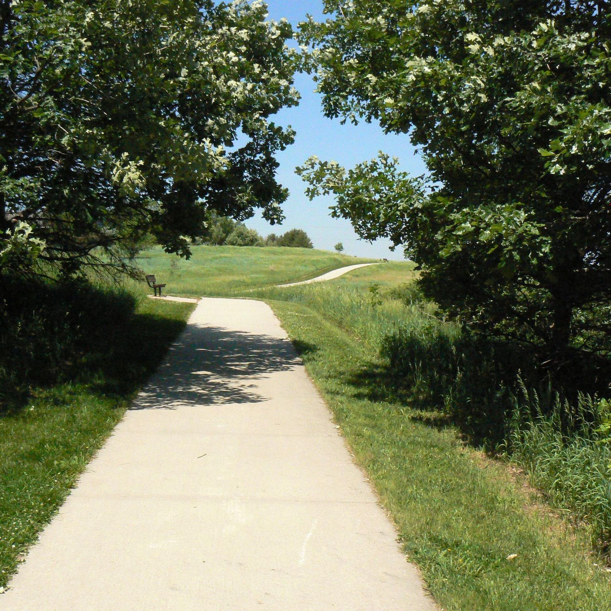
Road Cycling Routes in Chalco Hills Recreation Area
Road Cycling Routes around Offutt Afb
Tips from the Community

This popular multi-use trail follows along its namesake creek, connecting numerous parks and neighborhoods. Being multi-use you're likely to encounter walkers, runners, and dogs along the trail so please be courteous to your fellow trail users.
0
0
The multi-use Keystone Trail is an important part of Omaha's urban to rural trail system. Linking many of the areas business districts, parks, and Universities to the surrounding rural areas. Much of the trail follows along Little Papillion Creek, with multiple bridges over the water.
0
0

This is a paved trail that runs north to south along Papillion Creek, offering a great cycle corridor through western Omaha. A short stretch of it (about 2 miles) is built on an old railroad bed.
0
0
This old railroad bridge reveals the origins of this stretch of trail: It was once part of the country's first transcontinental railroad.
0
0
This pleasant, paved trail runs right past Seymour Smith Park, making it a great option for cycling north or south along the Papillion Creek corridor. Only a little over two miles of the Keystone Trail actually run over the railbed, but you can still see traces of that heritage in pilings, a lingering trestle, and one massive railroad bridge along the trail's length.
0
0

At this spot you cross a nice bridge over West Papio Creek. The water is lined with rushes and tall grasses, which makes the water sometimes a little hard to see from the side, but makes it a popular spot with birds and other wildlife. This is a nice place to slow down and keep an eye out for them!
0
0

Nice Trail with some cool art here and there and insight on the former use of the trail
0
0
Would ride it early, especially in summer, as it can get very hot and the amount of shade is pretty low on some sections of the trail.
0
0
Frequently Asked Questions
How many road cycling routes can I find in Sarpy County?
There are over 30 road cycling routes in Sarpy County, with options ranging from easy to moderate difficulty. You'll find 10 easy routes and 21 moderate routes, ensuring there's something for various skill levels.
What kind of terrain can I expect on road cycling routes in Sarpy County?
Sarpy County offers a diverse landscape for road cycling. You can expect mostly paved multi-use trails, scenic paths along river bluffs, and routes beside reservoirs. While many trails are relatively flat, some areas, particularly near the Platte River and within Fontenelle Forest, feature rolling hills.
Are there family-friendly road cycling routes in Sarpy County?
Yes, Sarpy County has several easy, paved routes suitable for families. The Papillion Lake – Halleck Park Arboretum loop from Bellevue Second I Precinct is an easy option. Additionally, the paved multi-use trail looping around Wehrspann Lake in Chalco Hills Recreation Area is ideal for leisurely family rides.
What natural features or landmarks can I see along the road cycling routes?
Many routes offer views of the Platte River and its bluffs. You can also cycle near significant natural areas like Fontenelle Forest Nature Center, which features wetlands, forests, and prairies. Other routes pass by reservoirs such as those in Walnut Creek Recreation Area and Chalco Hills Recreation Area (Wehrspann Lake).
Are there any loop routes for road cycling in Sarpy County?
Yes, many road cycling routes in Sarpy County are designed as loops. For example, the popular Big Papio Trail – Keystone Trail loop from Papillion offers a continuous cycling experience. Another option is the Big Papio Trail – Big Papio Trail loop from Bellevue Second I Precinct, which provides extensive paved stretches.
What do other road cyclists enjoy most about road cycling in Sarpy County?
The road cycling routes in Sarpy County are highly rated by the komoot community, with an average score of 4.6 stars from over 11 reviews. Cyclists often praise the well-maintained paved trails, the scenic views of the Platte River, and the variety of routes that cater to different fitness levels.
Are dogs allowed on the road cycling trails in Sarpy County?
While specific leash laws can vary by park or trail section, generally, dogs are welcome on many multi-use trails in Sarpy County, provided they are kept on a leash. Always check local signage or park regulations for the specific trail you plan to visit to ensure compliance.
Where can I find parking for road cycling routes in Sarpy County?
Many popular trailheads and recreation areas in Sarpy County offer dedicated parking. For instance, Chalco Hills Recreation Area and Walnut Creek Recreation Area provide parking facilities. The Big Papio Trail also has various access points with parking available along its extensive length.
Are there any cafes or restaurants near the road cycling routes?
Yes, especially along trails like the Big Papio Trail, which is noted for offering convenient access to local shopping and dining options. You'll find various cafes and restaurants in the towns and communities that the trails pass through, particularly in Papillion and Bellevue.
What is the longest road cycling route available in Sarpy County?
One of the longer routes you can explore is the Bluestem Prairie Preserve – Hastings Banner Park loop from Offutt Air Force Base, which spans approximately 43.5 miles (70 km) and takes about 3 hours and 40 minutes to complete. This route leads through natural preserve areas and local parks.
Are there any easy road cycling routes for beginners?
Absolutely. Sarpy County offers several easy routes perfect for beginners. The Hastings Banner Park – Big Papio Trail loop from Offutt Air Force Base is an easy 13.7-mile (22 km) ride. The paved trails around Chalco Hills Recreation Area are also known for their gentle gradients, making them suitable for those new to road cycling.
Can I access Sarpy County bike trails using public transport?
While public transport options might be limited directly to all trailheads, some major trails like the Big Papio Trail run through more urbanized areas of Sarpy County, potentially offering closer access points via local bus services. It's advisable to check specific public transport routes and schedules relative to your desired starting point.
Are there any specific permits required for recreational cycling on Sarpy County trails?
Generally, no specific permits are required for recreational road cycling on the public multi-use trails in Sarpy County. However, if you plan to visit specific state parks or recreation areas, standard park entry fees or permits might apply for vehicle access, but not typically for cycling on the trails themselves.
Most popular routes in Sarpy County
Most popular attractions in Sarpy County

Get inspired with the komoot mobile app


Didn’t find what you were looking for?
Check out more Road cycling routes throughout Sarpy County below and find the perfect route in your destination.
Explore more
Browse the best Road cycling routes in other regions.
