The best walks and hikes in Macon County
4.9
(30)
782
hikers
69
hikes
If you've ever tried to plan hiking in Macon County, you know how overwhelming the options can be. With so many trails crisscrossing the mountains, it's tough to tell which ones are genuinely worth your time and effort, and which are just filler. We get it – you want the highlights, the routes that deliver on their promise, without all the guesswork.
That's where komoot comes in. Our community has mapped, walked, and reviewed countless routes here, so we've done…
Last updated: May 10, 2026
34
hikers
35.0km
10:44
1,210m
1,230m
The Standing Indian, Mount Albert, Nantahala Basin Loop is a classic North Carolina hike that truly immerses you in the diverse beauty of the Nantahala National Forest. You will traverse…
15
hikers
11.5km
03:34
530m
300m
Embark on a moderate 7.2-mile (11.5 km) hike along the Appalachian Trail from Winding Stair Gap to Long Branch Shelter, gaining 1739 feet (530 metres) in about 3 hours and…

Sign up for free
13
hikers
25.1km
07:48
750m
1,260m
The Appalachian Trail from Deep Gap to Dicks Creek Gap plunges you into a world of continuous climbs and dense, vibrant forests, straddling the border between Georgia and North Carolina.…
12
hikers
7.14km
02:31
460m
40m
The Siler Bald via Appalachian Trail offers a classic Southern Appalachian experience, leading you through a beautiful hardwood forest and under dense rhododendron tunnels to a spectacular grassy summit. You'll…
12
hikers
5.75km
01:45
200m
200m
Embark on a pleasant journey along the Appalachian Trail from Rock Gap to Winding Stair Gap, a section that winds through the lush, dense woodlands of the Nantahala National Forest.…
8
hikers
11.3km
03:35
390m
480m
The Appalachian Trail: Wayah Bald to Tellico Bald offers a fantastic taste of the AT's scenic beauty and varied terrain. You'll traverse lush mixed hardwood forests, especially vibrant with rhododendron…
8
hikers
4.15km
01:22
260m
80m
The Satulah Mountain Trail near Highlands, North Carolina, delivers a diverse hiking experience, leading you through changing forest types to a unique heath bald at its 4,543-foot summit. You'll encounter…
7
hikers
53.2km
18:55
1,770m
2,530m
The Appalachian Trail: Franklin to Nantahala offers a challenging and scenic journey through the heart of the Nantahala National Forest. This difficult 33.1-mile (53.2 km) section, with its 5808 feet…
5.0
(1)
4
hikers
7.02km
02:50
420m
100m
The Wayah Bald via Appalachian Trail offers a classic Southern Appalachian experience, winding through lush hardwood forests and vibrant rhododendron tunnels before opening up to spectacular views. You will traverse…
3
hikers
4.02km
01:20
330m
0m
The Standing Indian Mountain via Deep Gap trail offers a classic Southern Appalachian experience, leading you through dense, moss-covered forests and unique rhododendron tunnels. As you climb, the terrain shifts…
Get access to more routes and recommendations from other explorers.
Sign up for free
Already have an account?
Our route recommendations are based on thousands of hikes, rides, and runs completed by other people on komoot.
Start today with a free account
Your next adventure awaits.
Login or Signup

Other adventures in Macon County

Tips from the Community


Sharp Top has a rocky outcrop within the forest, providing a strategic point for panoramic views of Nantahala National Forest and its surrounding mountains and ridges. Since the trail follows a ridge line to the summit and there are limited water sources along the way, be sure to bring plenty of water with you.
0
0
A summit of 5342 ft above the forest, offering views of the Great Smoky Mountains and some hills in Georgia at the horizon line. At the top you can find an old stone fire lookout, built in 1937 by the Civilian Conservation Corps. There was a fire in 2018 that burned some trees around the area and the roof of the tower, that waslater rebuilt.
1
0
Deep Gap is an accessible mountain pass with amazing views of the lush Nantahala Forest. This is a popular area in Nantahala National Forest, so if you want to avoid crowds it is better to go early.
1
0
This is the point where Long Branch Trail meets Appalachian Trail, a mountain pass that has not many views, but works as a connector.
0
0
Rocky Bald is one of the summits in Nantahala National Forest with a grassy area at the peak surrounded by forest, offering expansive views of Big Branch and Laurel Branch valleys with the mountains around. Unlike nearby Wayah Bald, this is not such a busy summit.
0
0
This small cabin surrounded by forest offers shelter to Appalachian Trail hikers, a simple shelter with a table and some benches.
0
0
Standing Indian Mountain, at 5499 ft, is the highest point along Nantahala River. This Mountain was part of the Cherokee territory, and its name in the native language was Yunwitsule-nunyi, which translates to "where the man stood." This is a beautiful hike in any season, with abundant forest and amazing summit views.
0
0
Frequently Asked Questions
Are dogs allowed on the hiking trails in Macon County?
Yes, dogs are generally welcome on trails in the Nantahala National Forest, which covers much of Macon County. However, they must be kept on a leash at all times. It's also important to bring water for your dog and to clean up after them to help preserve the natural beauty of the trails.
What's a good hike for families or beginners?
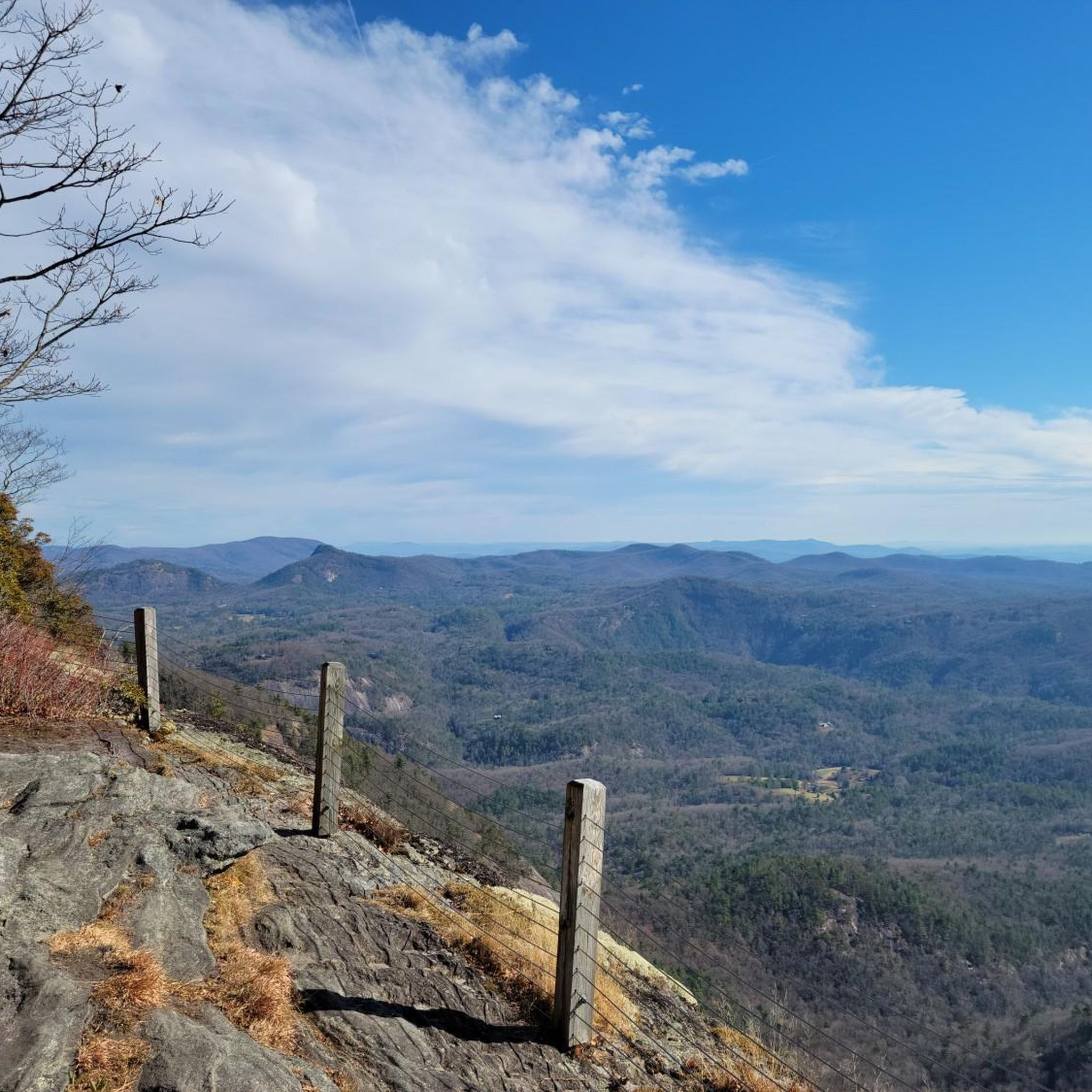
For an easy and accessible outing, the Whiteside Mountain National Recreation Trail is a great choice. It's a relatively short loop of about 1.9 miles (3.1 km) with fantastic views from the high cliffs, making it rewarding for hikers of all ages and skill levels.
Are there any good waterfall hikes in the area?
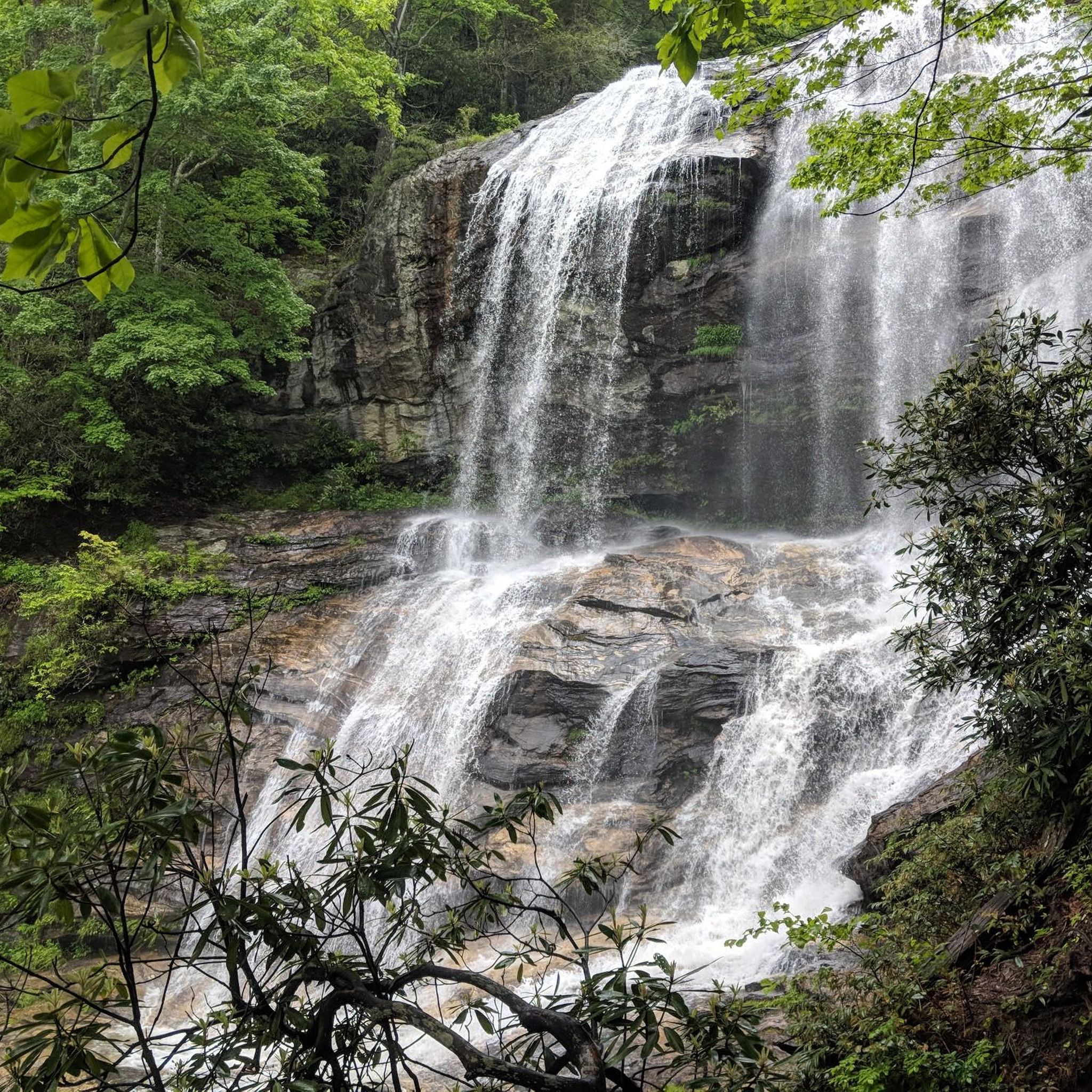
Absolutely. The hike to Glenn Falls via Glen Falls Trail is a popular option. This trail is about 2.6 miles (4.2 km) and leads you to a beautiful series of cascades within the Nantahala National Forest. Be prepared for some downhill sections on the way in, which means an uphill climb on the way out.
I'm looking for a challenging, full-day hike. What do you recommend?
For experienced hikers seeking a strenuous challenge, the Yellow Mountain Trail is an excellent option. This is a difficult out-and-back trail covering nearly 12 miles (19 km) with significant elevation gain. It rewards determined hikers with incredible views from the summit.
Where can I find the best scenic views or overlooks?
For a rewarding view without an overly strenuous climb, the Wesser Bald Outlook Tower is a fantastic destination. The trail is a moderate 2.7 miles (4.4 km) and leads to a historic fire tower offering panoramic vistas across the Blue Ridge Mountains.
Are there any good circular or loop hikes available?
Yes, the Siler Bald via Apalachian Trail loop is a great moderate option. This 3.8-mile (6.1 km) hike takes you to a grassy summit, known as a bald, which provides open, 360-degree views of the surrounding Nantahala National Forest.
How many hiking trails are there in Macon County?
There are over 35 hiking routes in Macon County, offering a wide variety for all abilities. The network includes 11 easy trails perfect for casual walks, 19 moderate routes for the average hiker, and 9 difficult trails for those seeking a serious challenge.
What do other hikers think of the trails in Macon County?
The trails in this area are highly regarded by the komoot community, holding an average rating of 4.9 out of 5 stars. Hikers frequently praise the stunning mountain scenery, the abundance of waterfalls, and the access to iconic viewpoints within the Nantahala National Forest.
Can I hike a section of the Appalachian Trail near Franklin?
Yes, several trails in the area connect with or are part of the Appalachian Trail (A.T.). A great way to experience it is the hike from Wayah Bald via Appalachian Trail. This difficult 9.1-mile (14.7 km) route follows the A.T. to a historic stone fire tower with spectacular views.
What is a good moderate hike that's not too crowded?
For a moderately challenging hike that offers a bit of solitude, consider the trail from Wallace Branch to William‘s Pulpit. It's a 4-mile (6.4 km) route through the forest that leads to a scenic rock outcropping, providing a peaceful hiking experience.
I want a long hike but not one that's rated as difficult. Any suggestions?
The hike from Winding Stair Gap to Siler Bald via Appalachian Trail is a perfect fit. It's a longer route at 8.9 miles (14.3 km) but is rated as moderate, making it a great option for a long day on the trail without the technical difficulty of a strenuous climb.
What should I pack for a day hike in Macon County?
For any hike, you should carry the essentials. This includes:
Water and snacks: Bring more than you think you'll need.
Navigation: A map, compass, or a fully charged phone with the route downloaded for offline use.
Sun protection: Sunscreen, a hat, and sunglasses, even on cloudy days.
Rain gear: Weather in the mountains can change quickly, so a waterproof jacket is essential.
First-aid kit: For blisters and minor injuries.
Most popular attractions in Macon County

Get inspired with the komoot mobile app


Didn’t find what you were looking for?
Check out more Hikes throughout Macon County below and find the perfect route in your destination.
Explore more
Browse the best Hikes in other regions.
