The best running trails in Madera County
4.5
(8)
202
runners
26
runs
Jogging in Madera County, California, offers diverse landscapes ranging from the flatlands of the San Joaquin Valley to the Sierra Nevada mountains. The region is characterized by extensive trail networks within the Sierra National Forest and Yosemite National Park, providing varied terrain for runners. Water features like Bass Lake and the San Joaquin River also offer scenic running routes. This geography ensures options from gentle, paved paths to challenging mountain trails with significant elevation gains.
Best jogging routes in Madera…
Last updated: May 27, 2026
4.0
(2)
3
runners
5.34km
00:40
90m
90m
Moderate run. Good fitness required. Mostly paved surfaces. Suitable for all skill levels.
2
runners
21.6km
02:58
720m
720m
Hard run. Very good fitness required. Mostly paved surfaces. Suitable for all skill levels.

1
runners
8.11km
01:10
350m
350m
Hard run. Very good fitness required. Mostly paved surfaces. Suitable for all skill levels.
1
runners
12.2km
01:40
340m
340m
Hard run. Very good fitness required. Mostly paved surfaces. Suitable for all skill levels.
1
runners
15.9km
02:07
520m
520m
Hard run. Very good fitness required. Mostly paved surfaces. Suitable for all skill levels.
13.0km
01:48
450m
450m
Hard run. Very good fitness required. Mostly paved surfaces. Suitable for all skill levels.
2
runners
3.93km
00:32
120m
120m
Moderate run. Good fitness required. Mostly paved surfaces. Suitable for all skill levels.
9.38km
01:11
170m
170m
Moderate run. Good fitness required. Mostly paved surfaces. Suitable for all skill levels.
4.44km
00:33
60m
60m
Easy run. Great for any fitness level. Mostly paved surfaces. Suitable for all skill levels.
13.3km
01:47
370m
370m
Hard run. Very good fitness required. Mostly paved surfaces. Suitable for all skill levels.
Get access to more routes and recommendations from other explorers.
Already have an account?
Our route recommendations are based on thousands of hikes, rides, and runs completed by other people on komoot.
Start today with a free account
Your next adventure awaits.
Popular around Madera County
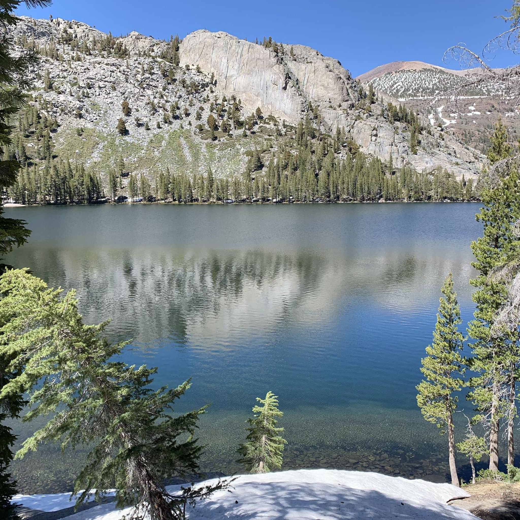
Running Trails in Ansel Adams Wilderness
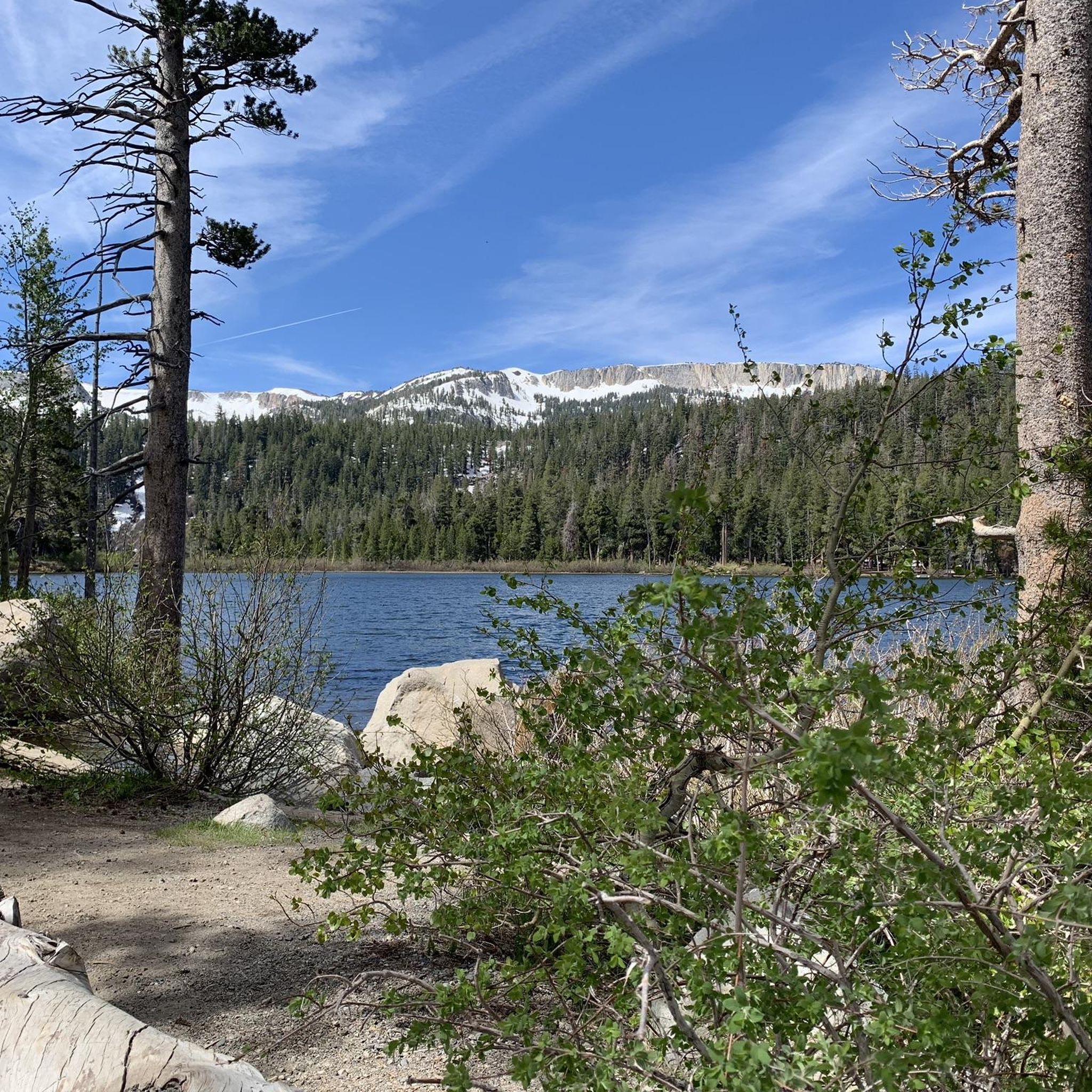
Running Trails in Devils Postpile National Monument
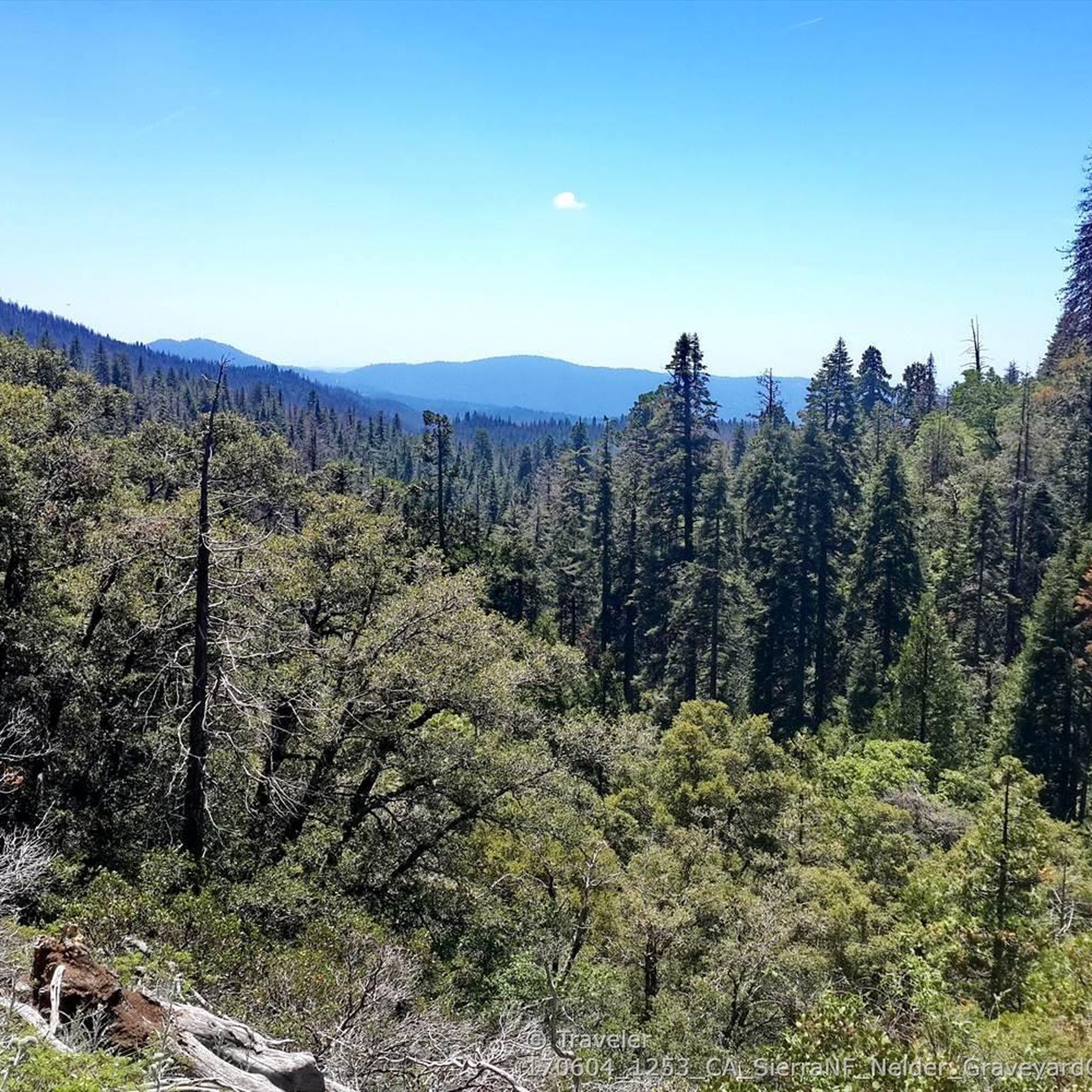
Running Trails around Oakhurst

Running Trails around Bass Lake

Running Trails around North Fork
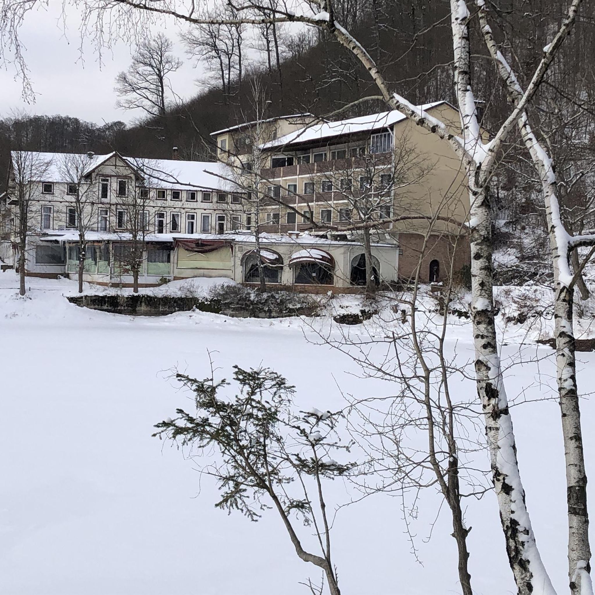
Running Trails around Madera Ranchos

Running Trails around Ahwahnee

Running Trails around Rolling Hills

Running Trails around Nipinnawasee

John Muir Trail – Along the legendary trail through the magical Sierra Nevada
Other adventures in Madera County


Tips from the Community

With a name like Goat Mountain, you can probably imagine how challenging this thread of footpath gets as you near the summit. It has beautiful views over Bass Lake and the surrounding mountains, though.
0
0
This trail leads up a relatively gentle incline to Red Rock Falls. As it climbs you'll see a change in the trees, from a wider-open canopy to smaller, brushier trees up the hill.
0
0

Olaine Lake is a beautiful alpine lake. It is surrounded by woods and mountains. The path from the nearest parking lot is not too challenging, so it is definitely worth the effort for the great scenery.
0
0
Minaret Lake is a stunning, high alpine lake. The path to get to it is challenging, so there is a good chance you will have the lake all to yourself.
0
0

High up on the Pacific Crest Trail you will enjoy a nice view of the Devils Postpile. There is also a side trail leading to it.
0
0
Rainbow Falls is a 101-foot waterfall, which is the largest falls on the San Joaquin River. The falls are located a short distance off the Pacific Crest Trail.
0
0
The Graveyard of the Giants Trail is by far the longest trail within the Nelder Grove Historical Area and the one with the most change in elevation. You will pass numerous mature giant sequoia trees like The Leaner which has the same impressive height as the Tower of Pisa. Kiowa, Hawksworth and Clothespin Tree are more interesting trees along the trail.
0
0
The Hawksworth Tree is part of the Nelder Grove. It was named to honor John and Marge Hawksworth, who were the campground hosts for 20 years at Nelder Grove. The tree is 21.6 feet in diameter at the ground
0
0
Frequently Asked Questions
How many running routes are available in Madera County?
Madera County features over 25 dedicated running routes, catering to various skill levels. These include easy, moderate, and challenging trails across diverse landscapes.
What kind of terrain can I expect on jogging routes in Madera County?
The terrain in Madera County is incredibly varied, ranging from mostly flat, paved paths in the San Joaquin Valley to challenging mountain trails with significant elevation gains in the Sierra Nevada. You'll find options for both casual jogs and intense trail running.
Are there any easy or beginner-friendly running routes in Madera County?
Yes, Madera County offers several easy running options. For example, the Minaret Falls via Pacific Crest Trail is an easy 2.8-mile route. Many community trails, like those in Tesoro Viejo, also provide paved and less strenuous paths suitable for beginners.
Which running routes offer scenic views or natural landmarks?
Many routes provide stunning scenery. The Minaret Lake via Minaret Creek Trail and Shadow Lake via Shadow Creek Trail in the Ansel Adams Wilderness offer breathtaking alpine views. For waterfalls, consider the Lewis Creek National Recreation Trail, which features Corlieu Falls and Red Rock Falls. You can also explore highlights like Rainbow Falls and Devils Postpile along certain routes.
Are there any dog-friendly running trails in Madera County?
Madera County has many trails that welcome dogs, especially in the Sierra National Forest. It's always best to check specific park or trail regulations before heading out, but generally, trails outside of Yosemite National Park are more accommodating for leashed pets.
Can I find family-friendly jogging routes suitable for all ages?
Absolutely. The Lewis Creek National Recreation Trail is a moderate option with waterfalls and forest scenery, often suitable for families. Additionally, community trails like those in Tesoro Viejo offer paved, easy options perfect for family outings.
What are the best times of year to go running in Madera County?
Spring and fall generally offer the most pleasant running conditions with mild temperatures. Summer can be hot, especially in the valley areas, so early morning or late evening runs are recommended. Higher elevation trails in the Sierra Nevada are best from late spring through early fall, as they can be snow-covered in winter.
Are there any running routes that feature lakes or water bodies?
Yes, Madera County is home to beautiful water features. Bass Lake and Millerton Lake State Recreation Area offer scenic routes along their shores. You can also find trails with views of Thousand Island Lake and Garnet Lake in the higher elevations.
What do other runners say about the trails in Madera County?
The running routes in Madera County are highly rated by the komoot community, with an average score of 4.5 stars. Runners often praise the diverse landscapes, from serene forest paths to challenging mountain ascents, and the stunning natural beauty, including waterfalls and alpine lakes.
Are there any loop or circular running routes available?
Yes, many trails in Madera County offer loop options. For instance, the Goat Mountain Lookout Loop is a challenging 8.1-mile circular route. Tesoro Viejo also features a Hillside Loop Trail, providing a circular option with scenic views.
Are there any long-distance running trails for experienced runners?
For experienced runners seeking longer distances, Madera County delivers. The Minaret Lake via Minaret Creek Trail is a difficult 13.4-mile path, while the Graveyard of the Giants Trail offers another challenging 8.3-mile option with significant elevation.
Are there any trails where I can see Giant Sequoias?
Yes, for a unique running experience, you can find trails amidst ancient, towering trees in areas like Nelder Grove of Giant Sequoias, located in the Sierra National Forest near Yosemite's south entrance. These trails offer a chance to run among impressive trees like the Bull Buck Tree.
Most popular routes in Madera County
Most popular attractions in Madera County

Get inspired with the komoot mobile app


Didn’t find what you were looking for?
Check out more Running Trails & Routes throughout Madera County below and find the perfect route in your destination.
Explore more
Browse the best Running Trails & Routes in other regions.
