The best road cycling routes around Oldambtmeer
4.6
(98)
1,869
riders
196
rides
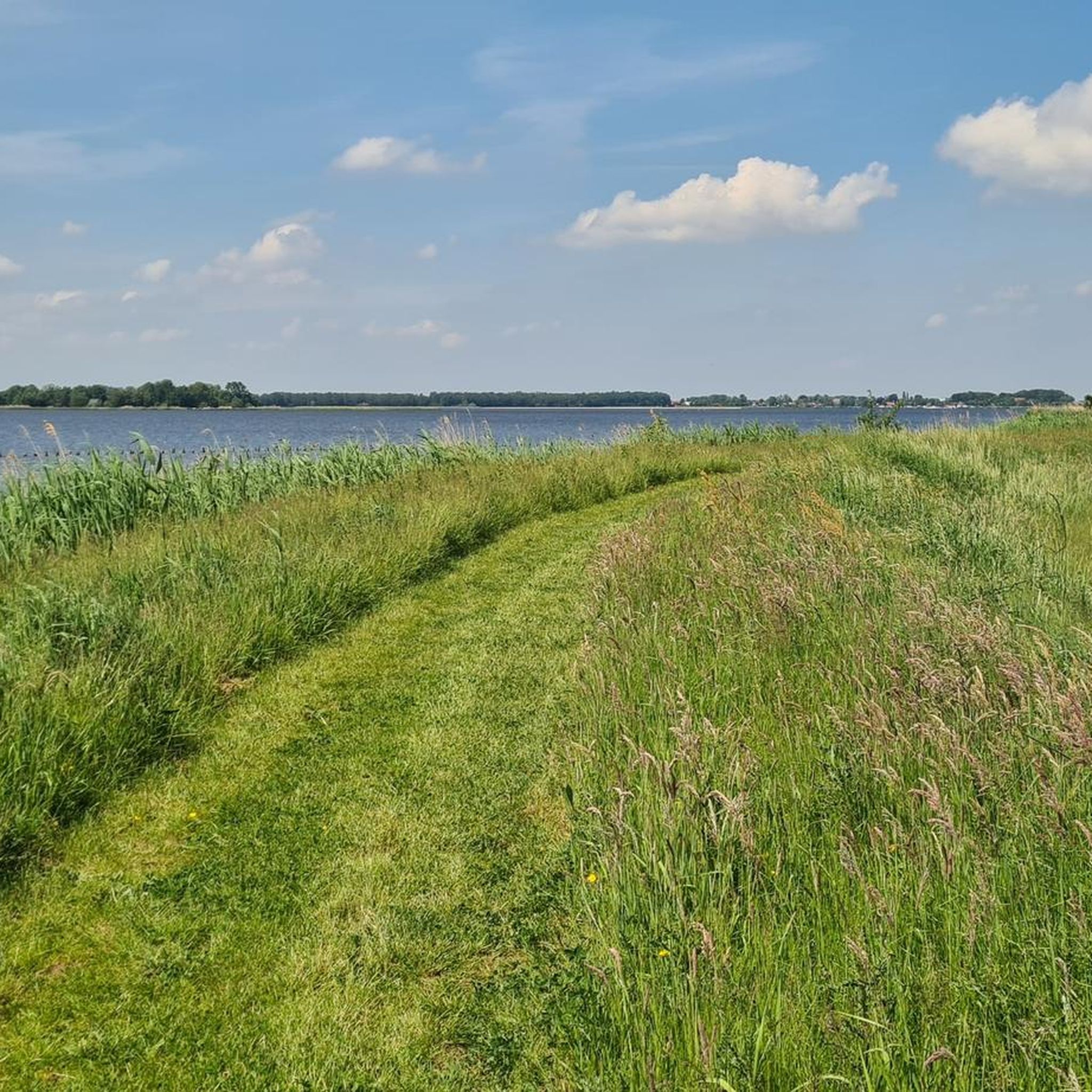
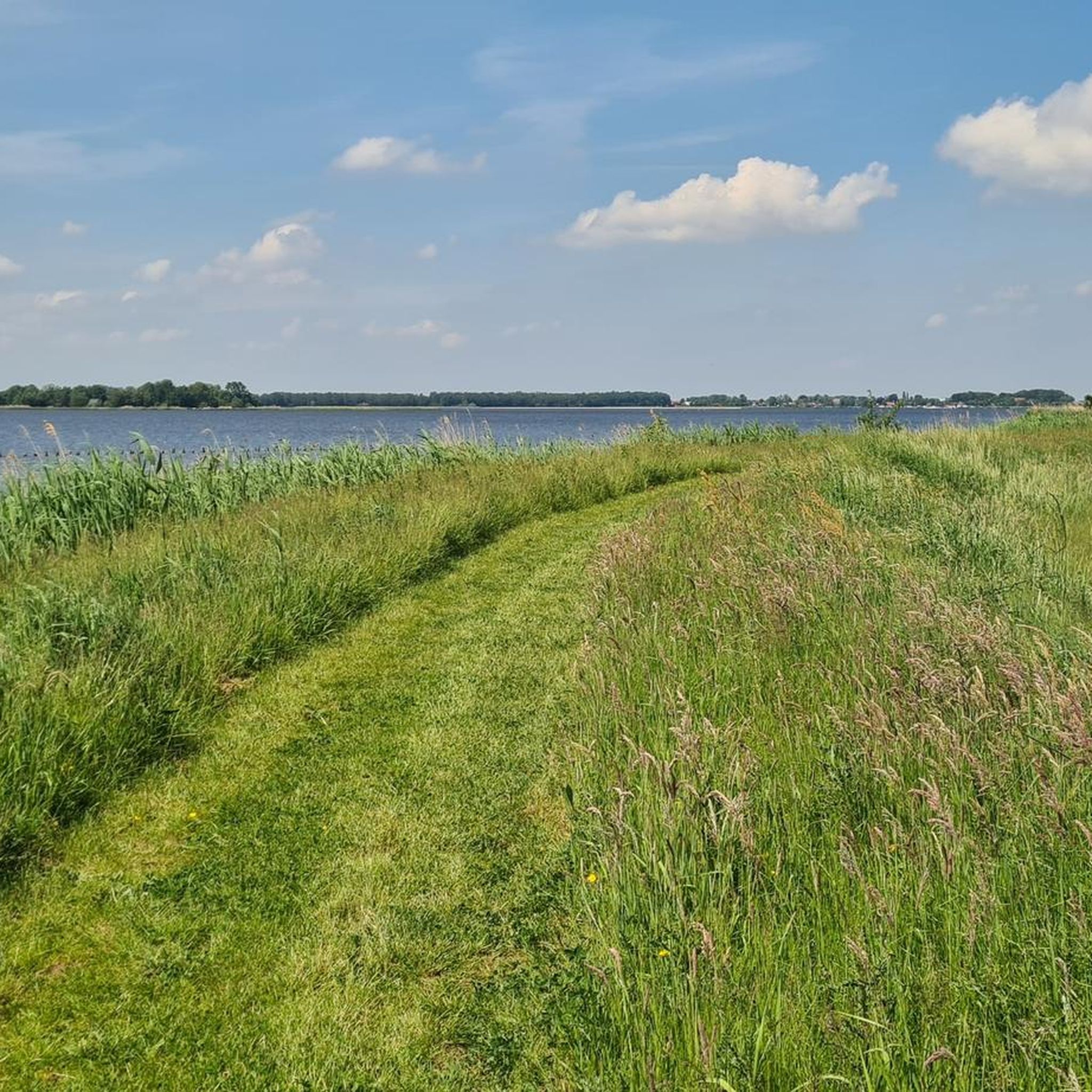
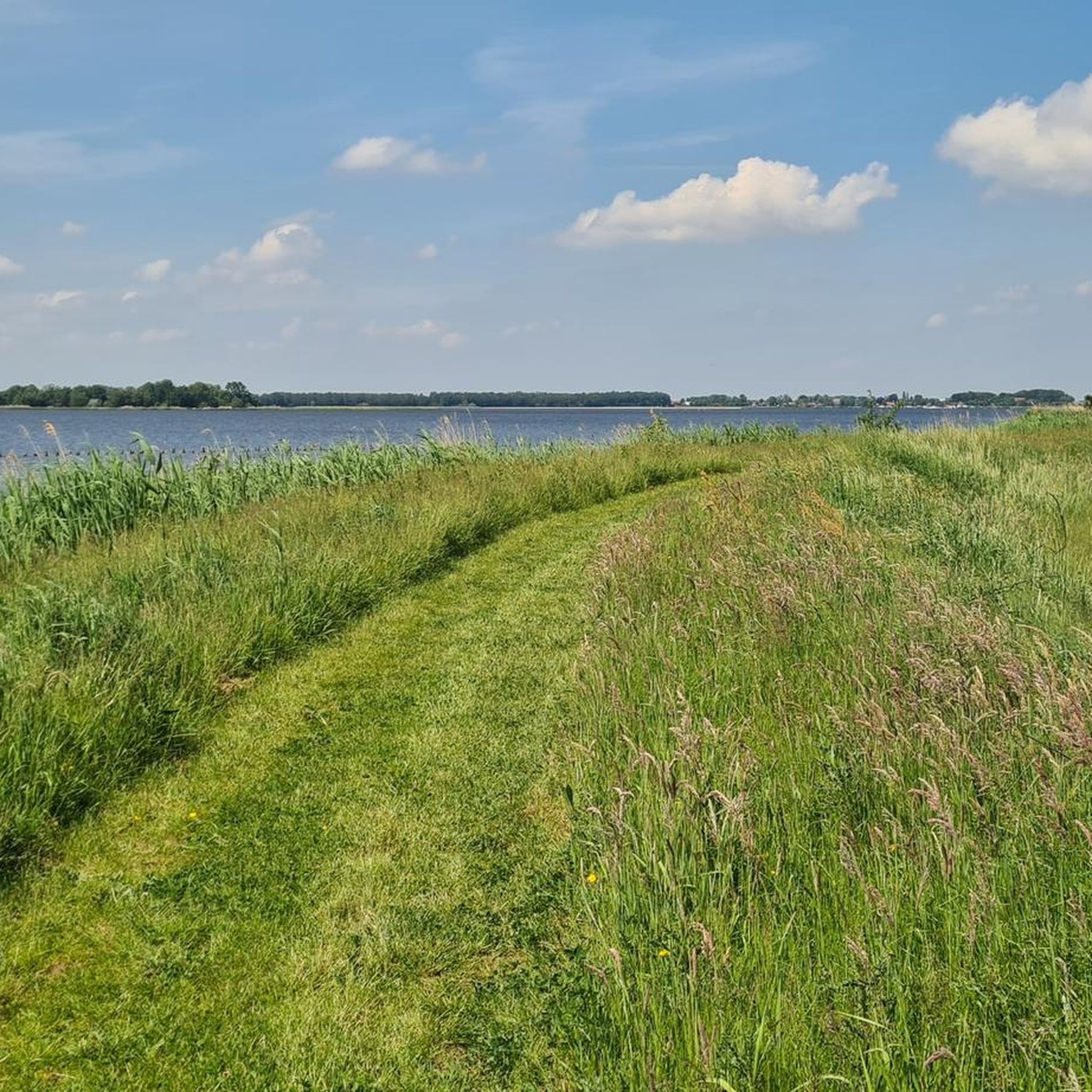
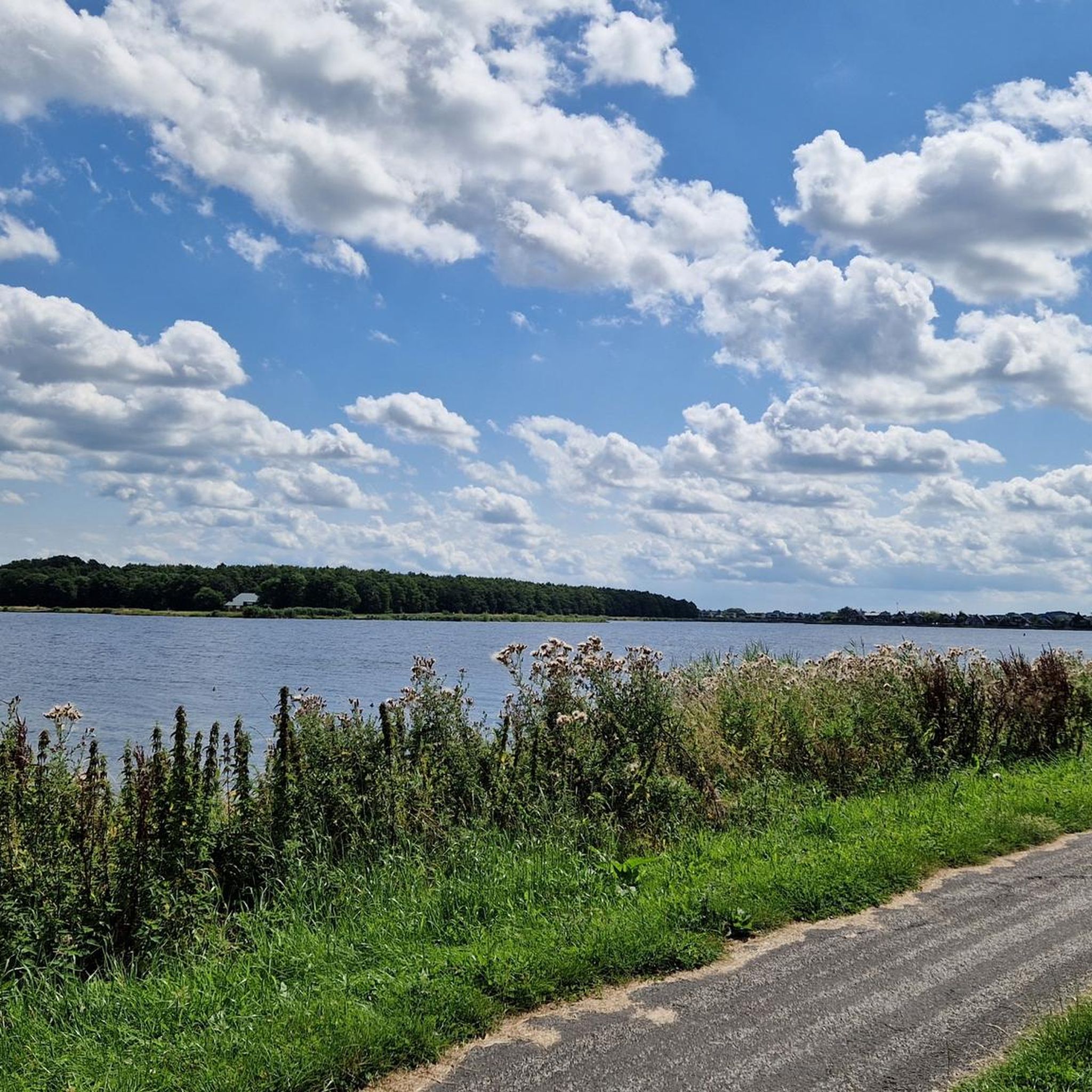
Road cycling routes around Oldambtmeer are characterized by generally flat terrain, making them accessible for various fitness levels. The region, part of the Blauwestad project, features an artificial lake spanning over 800 hectares, surrounded by a network of paved roads. Cyclists encounter diverse landscapes including young forests, grasslands, polder areas, and dikes. The infrastructure is well-developed for road cycling, with approximately 89% of routes in the Oldambt region consisting of paved surfaces.
Best road cycling routes around Oldambtmeer
- The most…
Last updated: July 17, 2026
4.5
(4)
16
riders
46.4km
01:53
80m
80m
Moderate road ride. Great for any fitness level. Some segments of this route may be unpaved and difficult to ride.
15
riders
18.7km
00:43
20m
20m
Easy road ride. Great for any fitness level. Mostly well-paved surfaces and easy to ride.

Sign up for free
11
riders
90.0km
03:56
60m
60m
Moderate road ride. Good fitness required. Some segments of this route may be unpaved and difficult to ride.
13
riders
Moderate road ride. Good fitness required. Mostly well-paved surfaces and easy to ride.
5.0
(2)
12
riders
19.0km
00:50
20m
20m
Easy road ride. Great for any fitness level. Mostly well-paved surfaces and easy to ride.
Get access to more routes and recommendations from other explorers.
Sign up for free
Already have an account?
Our route recommendations are based on thousands of hikes, rides, and runs completed by other people on komoot.
Start today with a free account
Your next adventure awaits.
Login or Signup
Tips from the Community

First of all, it is very unusual that the church tower stands separately from the church, but it is not an isolated case. Examples can also be found on the German side. Since these regions used to struggle a lot with floods, this is one of the reasons why these variants were chosen.
0
0
Important connecting bridge for cyclists and pedestrians between Germany and the Netherlands 🇩🇪🇳🇱
0
0
The Kiekkaaste in Nieuwe Statenzijl is the only birdwatching hut in the Netherlands located outside the dike.
0
0

From the rustic resting place, you have a great view of the red wooden bridge. A nice photo motif.
1
0

It almost doesn't get more Dutch than cycling along the tulip fields of Ootwolde. If you want to enjoy this colourful spectacle, the best time is between early March and early May, with mid-April as the absolute peak.
0
0


Great bridge, nice place for a break.
1
0

The bridge is almost 800 meters long and 3.5 meters wide and consists of four interconnected bridges.
4
0
Frequently Asked Questions
What is the typical terrain like for road cycling around Oldambtmeer?
The Oldambtmeer region is characterized by generally flat terrain, making it accessible for various fitness levels. Approximately 89% of the cycling routes consist of paved roads, ensuring a smooth ride. You'll encounter diverse landscapes including young forests, grasslands, polder areas, and dikes.
Are there road cycling routes suitable for beginners or families in Oldambtmeer?
Yes, the flat terrain around Oldambtmeer is ideal for beginners and families. Many routes offer easy conditions. For example, the Oldambt Lake loop from Oostwold is an easy 11.4-mile (18.4 km) trail that provides direct views of the artificial lake.
How many road cycling routes are available in the Oldambtmeer region?
There are over 180 road cycling routes available around Oldambtmeer, offering a wide range of options for different preferences and fitness levels. These include 48 easy routes and 136 moderate routes.
What do other cyclists say about road cycling in Oldambtmeer?
The road cycling routes in Oldambtmeer are highly rated by the komoot community, with an average score of 4.5 stars from over 80 reviews. Cyclists often praise the well-maintained dikes, expansive water views, and the unique polder landscape.
Are there any longer or more challenging road cycling routes for experienced riders?
While the terrain is generally flat, longer routes can offer a good challenge. The Pieter Smit Bridge – The Weddermarke Windmill loop from Finsterwolde is a moderate 57.2-mile (92 km) route that provides an extended ride through varied scenery. There are also a few difficult routes for those seeking an extra challenge.
Can I find circular road cycling routes around Oldambtmeer?
Yes, the Oldambtmeer is encircled by an attractive network of cycling paths, making circular routes very common. A full circular route around the lake is roughly 15-18 miles (25-30 kilometers). Many of the routes available on komoot are loops, such as the Hondhalstermeer – Termunten Church and Dike View loop from Oostwold.
What notable landmarks or attractions can I see while road cycling around Oldambtmeer?
You can encounter several interesting landmarks. The Pieter Smit Bridge (Pietersmitbrug), Europe's longest pedestrian and bicycle bridge, is a highlight. You can also pass by the Oldambt Lake itself, and the Blauwestad Observation Tower offers panoramic views.
Are there any unique natural features to explore on a road bike in Oldambtmeer?
Beyond the lake, the region offers diverse natural features. You can cycle through young forests, grasslands, and marshes. The southern area features open water, canals, and reed beds. To the northwest, you might find Groningen's only primeval forest. The Dollard Nature Reserve, near the German border, is also a significant natural feature with unique flora and fauna.
Is there parking available for road cyclists near the Oldambtmeer routes?
Yes, parking is generally available in the towns and recreational areas surrounding Oldambtmeer, such as Blauwestad and Winschoten, which serve as common starting points for cycling routes. These areas often have dedicated parking facilities for visitors.
Can I find places to eat or drink along the road cycling routes?
Yes, the Blauwestad area, situated directly on the Oldambtmeer, features a marina with shops and restaurants, providing pleasant stops along cycling routes. Winschoten also offers various cafes and pubs. You'll find opportunities to refuel and relax in the villages and towns around the lake.
What is the best time of year for road cycling around Oldambtmeer?
The spring, summer, and early autumn months generally offer the most pleasant conditions for road cycling around Oldambtmeer, with milder temperatures and less chance of adverse weather. The flat terrain makes it accessible for most of the year, but checking local weather forecasts is always recommended.
Are there any routes that take me close to the German border?
Yes, the region is close to the German border, and some routes extend into or near this area. The International Dollard Route, for instance, is a much longer route that extends through the German-Dutch border region. Locally, routes like the Bridge at Bad Nieuweschans – Oudeschans Wooden Drawbridge loop from Finsterwolde will bring you close to the border area.
Most popular routes around Oldambtmeer
Most popular attractions around Oldambtmeer

Get inspired with the komoot mobile app


Explore more
Browse the best Road cycling routes in other regions.
