The best MTB trails in Deschutes County
4.8
(120)
4,614
riders
222
rides
Mountain biking in Deschutes County offers diverse terrain across central Oregon, characterized by volcanic landscapes, extensive pine forests, and the Deschutes River. The region features the vast Deschutes National Forest and the Cascade Mountains, providing a backdrop of peaks and high desert environments. This varied topography creates a wide range of mountain bike trails suitable for different skill levels.
Best mountain bike trails in Deschutes County
- The most popular mountain bike trail is Ben's, Pinedrops and Phil's Trail Loop, a 15.4 miles (24.7 km) trail that takes about 2 hours 18 minutes to complete. This route navigates through a well-known network of trails near Bend.
- Another top favourite among local mountain bikers is Funner and Tiddlywinks Loop, a moderate 12.9 miles (20.8 km) path. This trail offers varied riding experiences through forested areas.
- Local mountain bikers also love the COD, Lower Storm King, and Catch & Release Loop, a 10.7 miles (17.1 km) trail leading through the popular Phil's Area network, often completed in about 1 hour 37 minutes.
- Mountain biking in Deschutes County is defined by volcanic fields, dense pine forests, and high desert terrain. The extensive network of trails offers options for all ability levels, from easy singletrack to more advanced challenges.
- The routes in Deschutes County are highly rated by the komoot community with an average score of 4.8 stars from over 80 reviews. More than 4000 mountain bikers have used komoot to explore Deschutes County's varied terrain.
Last updated: October 10, 2026
4.0
(2)
130
riders
24.7km
02:18
370m
370m
Get ready for a classic Central Oregon mountain biking adventure on the Ben's, Pinedrops and Phil's Trail Loop. This moderate route guides you through an open Ponderosa pine forest, offering 15.4 miles (24.7 km) of flowing singletrack. You will encounter mellow climbs, particularly on Ben's Trail, and fun, twisting descents, gaining 1203 feet (367 metres) of elevation over an estimated 2 hours and 18 minutes. Look forward to the smooth, downhill sections of Phil's Trail, known for its big berms and rolling bumps, often called 'whoops', that you can pump for extra speed.
Planning your ride is straightforward, as the Phil's trailhead is a popular and well-equipped starting point. You will find restrooms, ample parking, and helpful signs there. If you are coming from Bend, you can even access the trailhead directly via a dedicated bike path. The best time to enjoy this trail is generally from early spring through late fall, but always remember to check local conditions, especially for snowpack, with area bike shops before you head out.
This loop offers a true immersion into the high desert landscape, characterized by dense Ponderosa pines and Manzanita bushes. The combination of Ben's, Pinedrops, and Phil's Trails creates a dynamic and engaging ride that showcases the region's best singletrack. It is a prime example of why Central Oregon is a renowned destination for mountain biking, providing a memorable experience for riders seeking both flow and scenic beauty.
120
riders
20.8km
02:35
410m
390m
Get ready for a moderate mountain biking adventure on the Funner and Tiddlywinks Loop, a 12.9-mile (20.8 km) route that offers a dynamic change of scenery. You will start in a high desert landscape, then quickly transition into the vibrant, green Deschutes National Forest. The trail climbs 1330 feet (405 metres) through thick forests on the Funner section, providing a rewarding workout. As you descend on Tiddlywinks, you will experience winding paths through dense woods and open, logged areas, keeping your ride engaging for about 2 hours and 35 minutes. This loop provides a comprehensive and varied visual experience from start to finish.
The Funner and Tiddlywinks Loop is part of the well-known Wanoga trail system, making it easy to access. You will find general parking available at the trailheads located within the Wanoga area, so plan to arrive early on busy days. While there are no specific warnings for snow or closures mentioned, it is always a good idea to check local conditions before you head out. This ensures you have the best possible experience on the trail.
This loop is a highlight for mountain bikers near Bend, Oregon, offering a complete experience within the Deschutes National Forest. The route is known for its well-maintained paths, making it a reliable choice for a fun ride. You will appreciate how the trail seamlessly blends different environments, from high desert to lush forest, all within one continuous loop.

4.3
(3)
64
riders
17.1km
01:37
210m
210m
Embark on the COD, Lower Storm King, and Catch & Release Loop for a moderate mountain biking adventure through Deschutes National Forest. You'll pedal through heavily forested sections, enjoying the shade of towering ponderosa pines. The terrain varies, offering flowy sections with banked turns alongside technical challenges like large lava rock gardens. Keep an eye out for a notable boulder on the Catch & Release segment. This 10.7-mile (17.1 km) route involves gaining 692 feet (211 metres) in elevation, typically taking around 1 hour and 36 minutes to complete. It's a balanced experience, perfect if you have some mountain biking experience.
Accessing the trail is straightforward, with the Cascade Lake Welcome Station serving as a convenient starting point for your ride. While you can complete the entire route as a loop, many riders opt to shuttle to the top, allowing for a faster and twistier descent on the Lower Storm King segment. Before heading out, always check local conditions for any potential trail closures or advisories. This ensures you have the most up-to-date information for a smooth and enjoyable trip.
This trail system is well-known for its diverse riding experience within the unique volcanic landscape of the region. The presence of lava rock gardens adds a distinct character to the ride, showcasing the area's geological history. It's a popular choice for mountain bikers looking to explore the varied terrain and dense forests of Central Oregon. Consider combining your ride with other outdoor activities in the Deschutes National Forest for a full day of adventure.
5.0
(4)
173
riders
19.8km
01:45
210m
210m
Explore the Ben's and Phil's Trail Loop, an easy mountain biking route spanning 12.3 miles (19.8 km) with a gentle elevation gain of 689 feet (210 metres). You can expect to complete this ride in about 1 hour and 44 minutes. As you pedal, you will ride through an open pine forest, surrounded by Ponderosa pines and Manzanita bushes, offering a classic Central Oregon experience. Keep an eye out for the distinctive "Flaming Chicken" roundabout, a unique piece of trail art you will encounter on Phil's Trail.
This loop's trailhead is conveniently located just minutes from downtown Bend, providing restrooms, parking, and clear signage for your visit. Be aware that later in the season, the trail surface can become quite dry and sandy, creating what riders call "moon dust" conditions. In winter, lower sections might have frozen ruts, so consider exploring higher elevations for smoother riding if there is snow on the ground.
The trail offers a smooth, flowy singletrack experience, making it an enjoyable ride for many. It serves as an excellent introduction to the region's mountain biking scene, allowing you to immerse yourself in the natural beauty of the Deschutes National Forest. The consistent scenery and fresh mountain air contribute to a refreshing outdoor adventure.
5.0
(1)
134
riders
48.0km
04:07
690m
690m
Get ready for a classic mountain biking adventure on Ben's and Phil's Trail Loop, a moderate route spanning 29.8 miles (48.0 km). You will climb 2278 feet (694 metres) over an estimated 4 hours and 7 minutes, immersing yourself in the open pine forest of Deschutes National Forest. The trail offers a quintessential cross-country experience, winding through Ponderosa pines and Manzanita bushes. Expect a mix of smooth, flowy singletrack, with Ben's Trail providing a fun, twisting uphill section. Make sure to pause at the Shooting Star Shelter View for expansive scenery and a moment of fresh mountain air.
Planning your ride on Ben's and Phil's Trail Loop is straightforward, as the trailhead is conveniently located just minutes from downtown Bend. You will find restrooms and ample parking available, making for an easy start to your mountain biking day. The best time to tackle this route is typically from early spring through late fall, but always check local conditions, especially regarding snowpack, which can affect trail access. Despite numerous intersections, the trails are well-maintained with clear signage, making navigation simple.
This loop is a prime example of the Bend mountain biking scene, offering a deep dive into the region's natural beauty. The open pine forest environment provides a refreshing atmosphere, perfect for a sustained ride. It is a popular choice for those seeking a solid cross-country experience without venturing too far from urban amenities. The trail system's accessibility and well-kept paths make it a standout option for mountain bikers in the area.
96
riders
16.6km
01:28
170m
170m
This easy mountain biking loop, known as Ben's, Phil's & Voodoo Loop, takes you through 10.3 miles (16.6 km) of the Deschutes National Forest. You'll gain 553 feet (168 metres) in elevation, typically completing the ride in about 1 hour and 27 minutes. Expect a fun, flowy ride through dense ponderosa pine forests and manzanita bushes, offering plenty of shade. The trails feature swooping turns that are generally smooth, though you might encounter some loose, sandy sections, especially later in the season. Keep an eye out for the tighter, twisty turns and occasional rock gardens on the Voodoo Trail segment.
To begin your adventure, head to the popular Phil's Trailhead, which offers convenient access to the loop. You will find ample parking available, along with restrooms and clear signage to help you navigate. Its close proximity to downtown Bend makes it an ideal spot for a quick escape into nature. This makes planning your visit straightforward, allowing you to focus on the ride.
This route provides a fantastic introduction to the renowned Phil's Trail network, celebrated for its 'buff' and 'flowy' characteristics. The trails are well-regarded for their enjoyable nature, making them a favorite among local mountain bikers. You'll experience the fragrant high desert air as you ride, adding to the unique atmosphere of the area. It's a great way to explore the region's famous mountain biking scene.
4.6
(8)
76
riders
19.6km
01:40
140m
140m
Embark on the Maston Outer Loop – Beginner Loop, a moderate mountain biking trail that guides you through the scenic high desert landscape. This route covers 12.2 miles (19.6 km) with a gentle elevation gain of 453 feet (138 metres), typically taking about 1 hour and 40 minutes to complete. As you pedal, you will experience mostly smooth, flowing sections, winding through juniper forests and sagebrush, with picturesque views of Cline Butte and glimpses of the distant Cascade Mountains.
Planning your ride is straightforward, as the main trailhead offers ample parking, restrooms, and clear signage to help you navigate. This area is managed by the Bureau of Land Management, so you won't need a forest service pass for parking. Remember that e-bikes are not permitted on these trails. The Maston area is also a great option for riding during the winter and shoulder seasons, as it often remains snow-free when higher elevation trails are inaccessible.
This loop provides an excellent introduction to the high desert environment near Eaglecrest, showcasing its unique flora and terrain. The trail is known for its reliable conditions and accessibility, making it a local favorite when other routes might be closed due to weather. Keep an eye out for the Fat Rabbit Trail, which is incorporated into this loop, adding to the varied experience.
4.9
(7)
75
riders
9.94km
00:53
120m
120m
The Ticket to Ride Loop offers an easy mountain biking experience through a natural, forested environment. You'll cover 6.2 miles (9.9 km) with a gentle elevation gain of 399 feet (122 metres), which most riders complete in about 53 minutes. Expect mostly smooth singletrack, but be ready for some exposed rocks along the way. If you ride counterclockwise, you can enjoy a fun, swooping descent through a small rock canyon, adding a unique thrill to your ride.
Accessing the Ticket to Ride Loop is straightforward, as it begins and ends near the U.S. Forest Service's Cascade Lakes Welcome Station. This convenient location along Century Drive, west of Bend, makes parking easy for your mountain biking adventure. The Welcome Station also serves as a helpful hub, offering amenities and information before you hit the trail. You won't need any specific permits for this particular loop, simplifying your planning.
This route is set within the beautiful Deschutes National Forest, providing a refreshing escape into nature. The trail's proximity to the Cascade Lakes Welcome Station makes it an ideal starting point for exploring the wider area. It's a great option if you are looking for a quick, accessible ride that showcases the natural beauty of the region.
5.0
(3)
73
riders
25.2km
02:08
200m
200m
Get ready for a moderate mountain biking experience on the Peterson Ridge Loop, a 15.7 miles (25.2 km) route that winds through the Deschutes National Forest. You will gain 647 feet (197 metres) in elevation over an estimated 2 hours and 7 minutes of riding. The trail offers a mix of gradually sloped singletrack, flowing sections, and some steeper, more technical parts with lava rock. As you climb to higher elevations, particularly on the West trail, you can enjoy expansive views of the Cascade peaks, including the iconic Three Sisters and Broken Top. Expect to ride through beautiful ponderosa pine forests and open sagebrush country, providing a diverse and engaging landscape.
The Peterson Ridge Loop is a well-known trail system located near Sisters, Oregon, making it easily accessible for a day trip. Navigation is straightforward thanks to clearly marked signs and numbered junction posts throughout the route. Remember that this is a multi-use trail system, so you should be prepared to share the path with walkers, runners, dogs, and even horse riders. Planning your visit during off-peak times can enhance your experience by reducing trail traffic.
What makes the Peterson Ridge Loop unique is its
5.0
(2)
59
riders
26.8km
02:26
350m
350m
The Storm King, Catch & Release, Tyler's Traverse and Tiddlywinks Loop offers a moderate mountain biking experience through classic Ponderosa pine forests, providing pretty views along the way. You'll cover 16.7 miles (26.8 km) and gain 1162 feet (354 metres) in elevation, typically completing the ride in about 2 hours and 26 minutes. Expect a varied terrain mix, from the mellow sections of Catch and Release to the exciting flowy berms and jumps found on Tiddlywinks, ensuring an engaging ride for intermediate mountain bikers.
When planning your visit, remember this route is situated within Deschutes National Forest, so it's always wise to check for any local alerts or seasonal closures before you go. While specific trailhead access details aren't provided here, most trails in national forests are accessible by car, often with designated parking areas. Consider starting your ride earlier in the day to enjoy cooler temperatures and fewer people on the trail, especially during peak seasons.
This loop is notable for its clever combination of several popular trails, creating a diverse and cohesive mountain biking adventure. It allows you to experience different facets of the region's trail network in one go, from technical challenges to sections designed for pure flow. The route stands out as a comprehensive option for those looking to explore the varied landscapes and trail styles available in the Deschutes National Forest.
Get access to more routes and recommendations from other explorers.
Already have an account?
Our route recommendations are based on thousands of hikes, rides, and runs completed by other people on komoot.
Start today with a free account
Your next adventure awaits.
Popular around Deschutes County
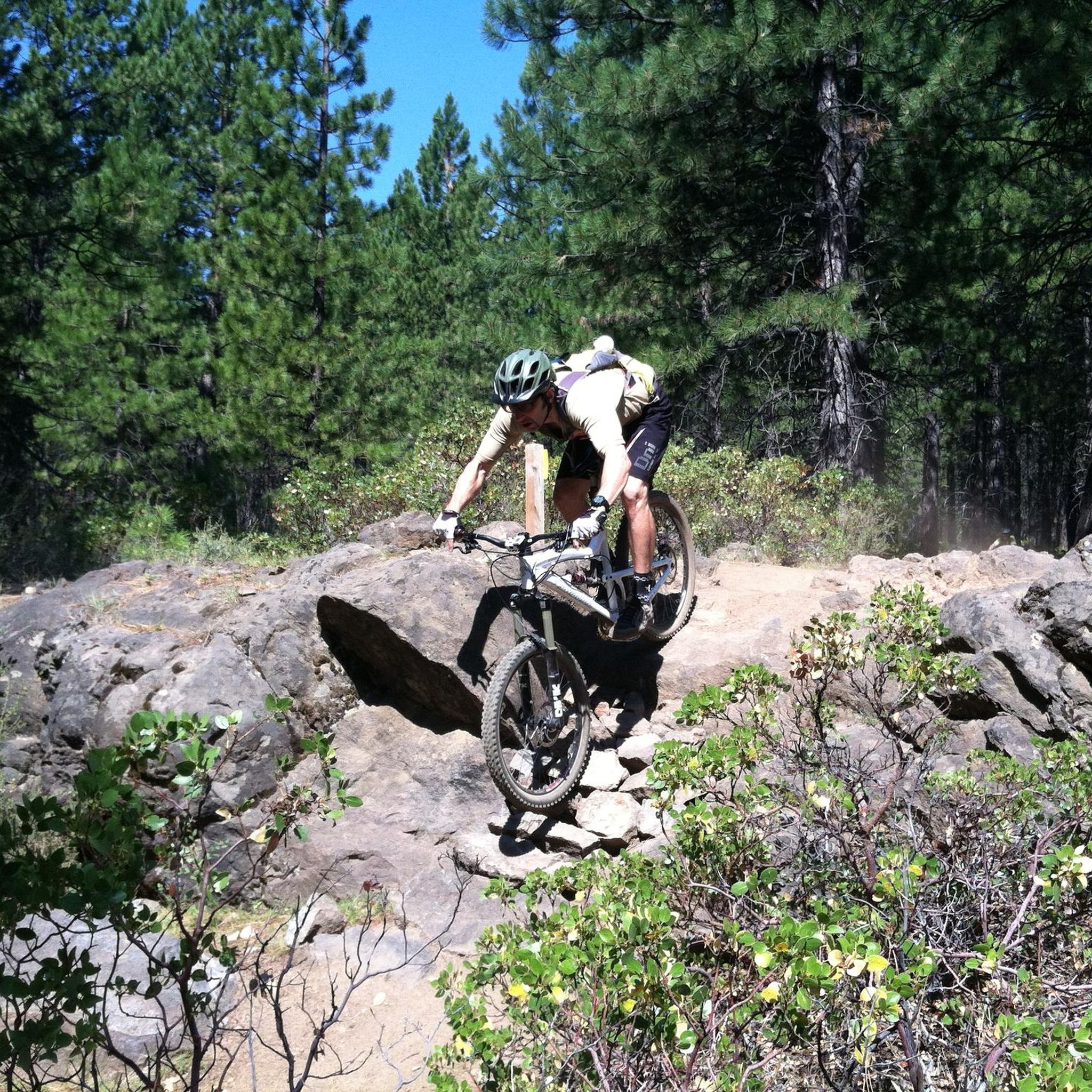
MTB Trails in Deschutes National Forest
MTB Trails around Tetherow
MTB Trails around Tumalo
MTB Trails around Deschutes River Woods
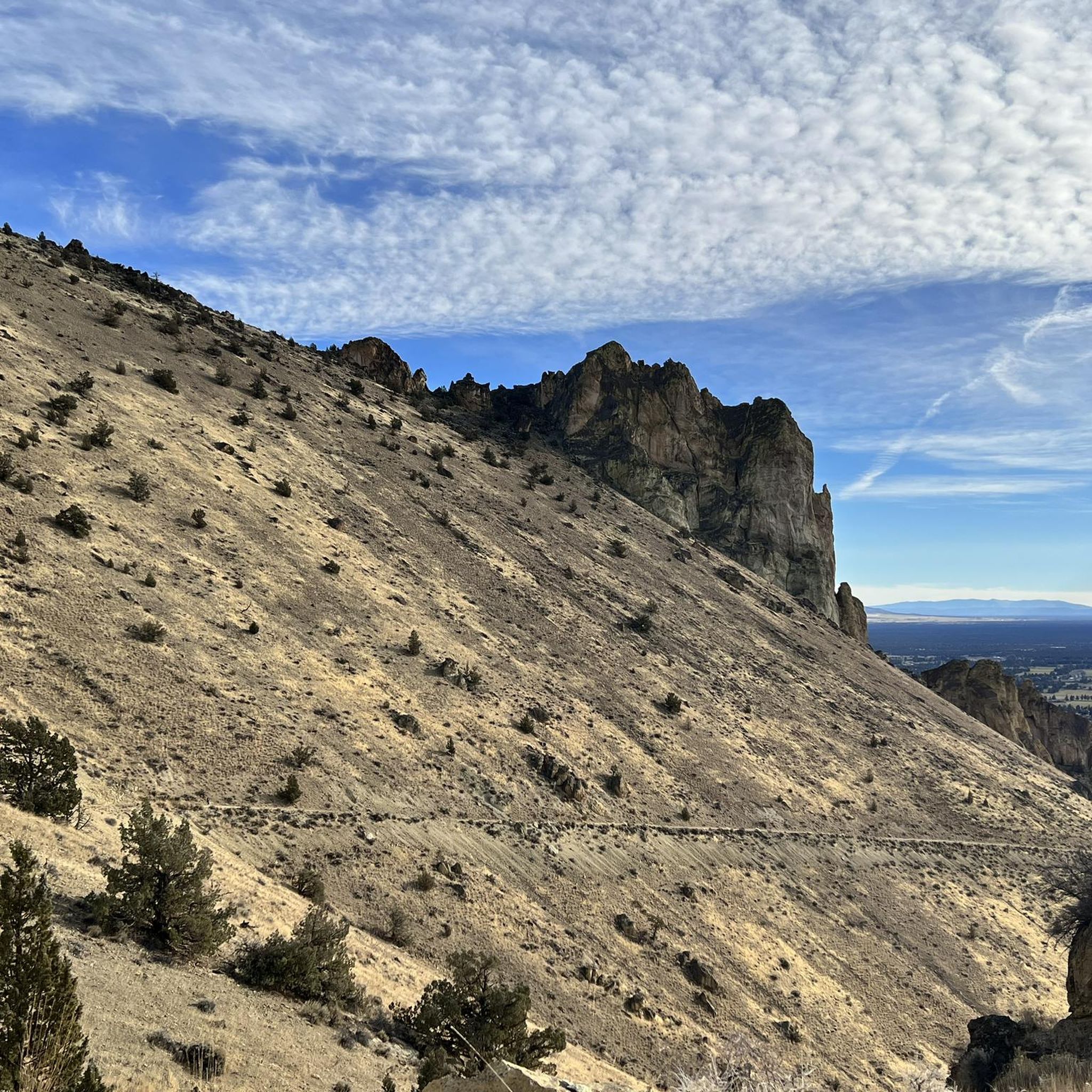
MTB Trails around Redmond
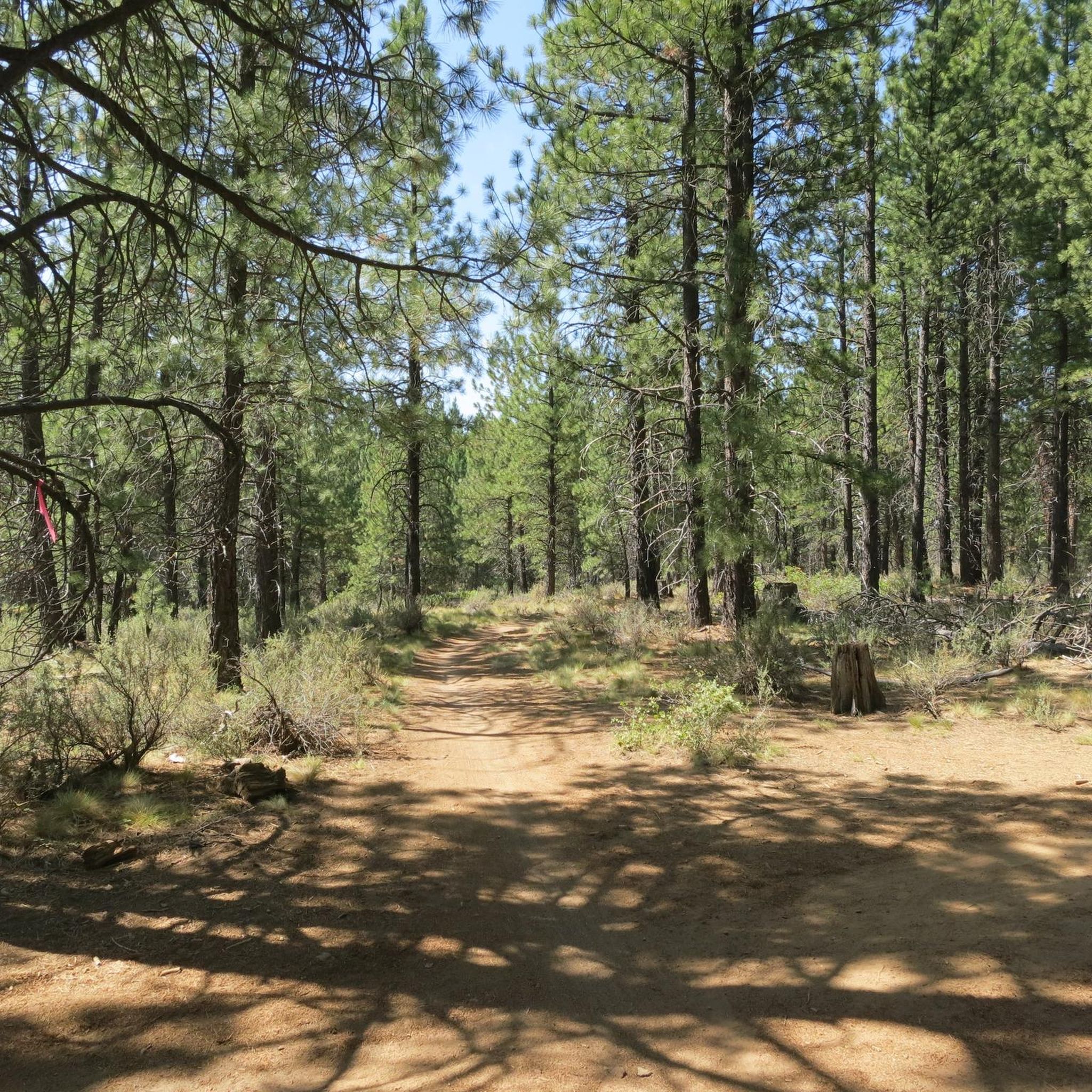
MTB Trails around Bend
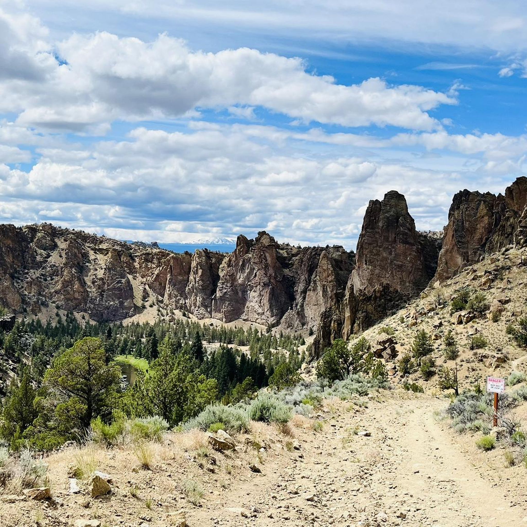
MTB Trails in Smith Rock State Park
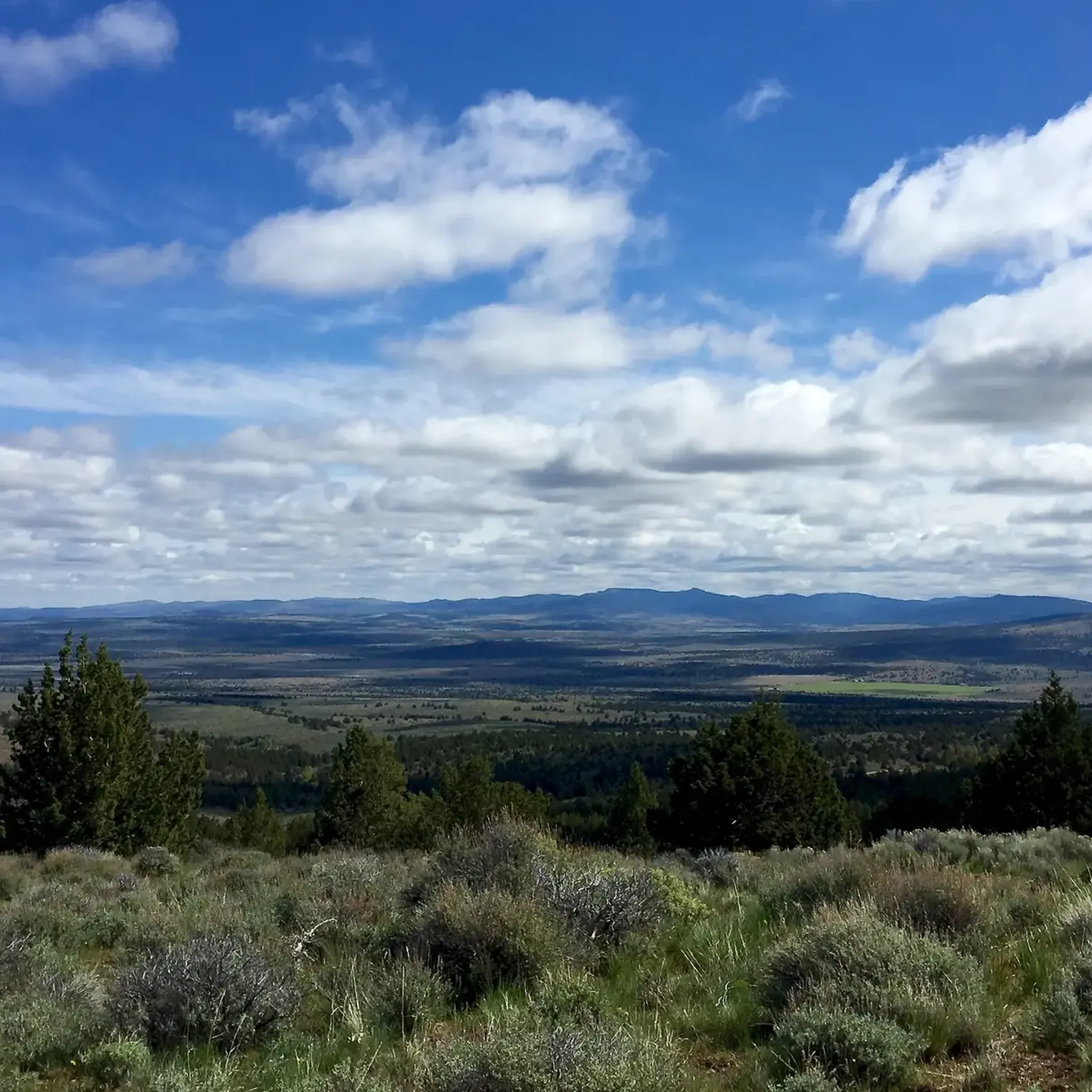
MTB Trails around Terrebonne
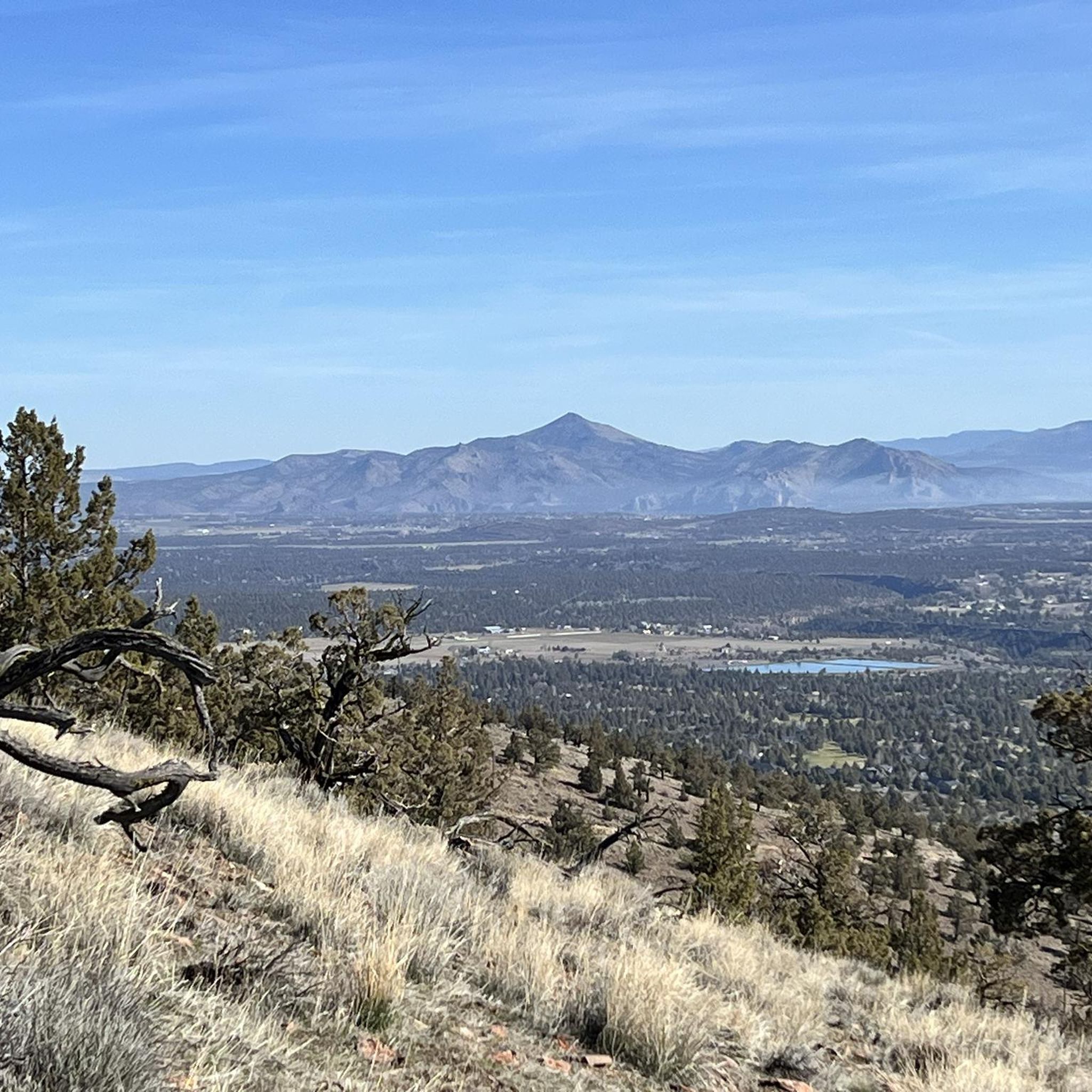
MTB Trails around Eagle Crest
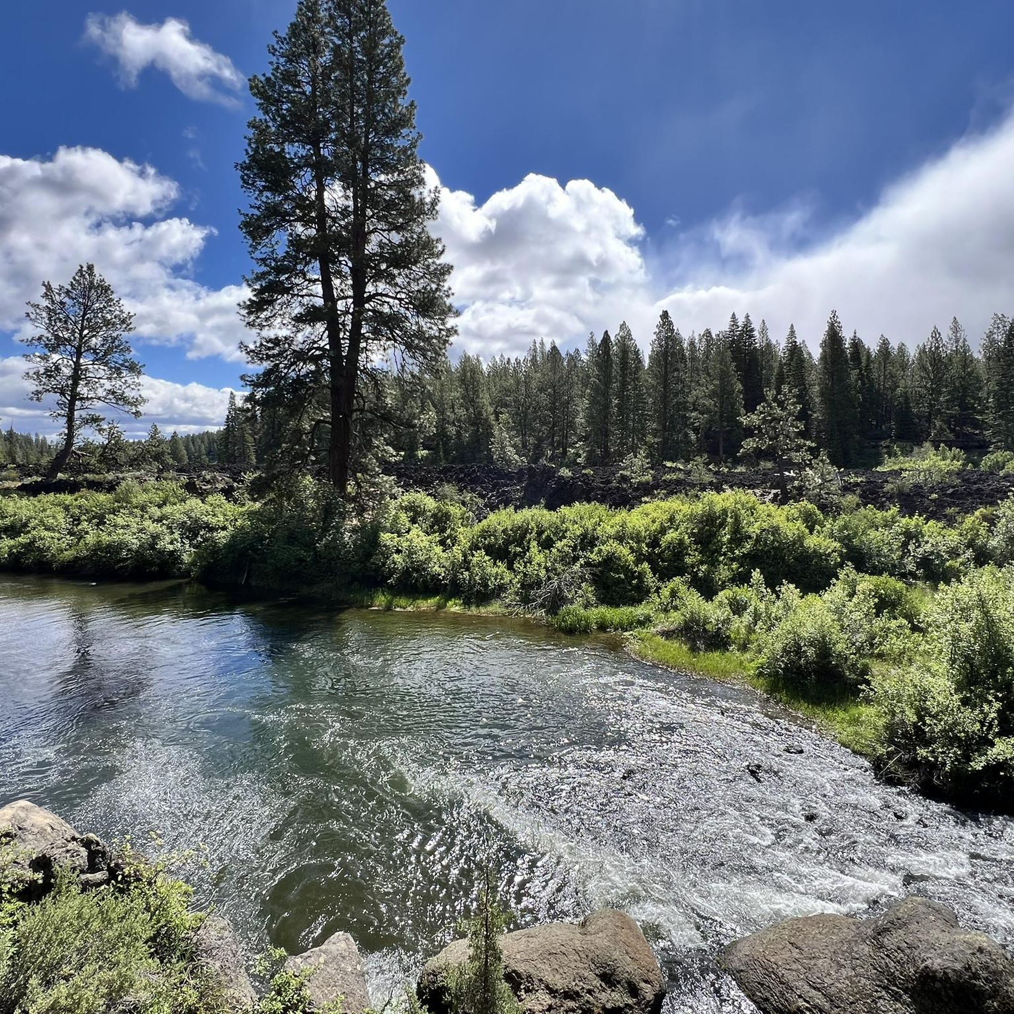
MTB Trails around Seventh Mountain
Other adventures in Deschutes County


Tips from the Community

This welcome station is staffed with volunteers to provide information, answer questions about the area, and offer trail maps. Recreation passes are available here, restrooms and a sizable parking lot. It is the access point to Phil's and Wanoga mountain biking trail systems.
0
0
This trail is part of a mountain biking network of trails built in 1989 consisting of single-track and old forest service roads. Now, the trial system has increased to over 20 miles of trails to explore, all marked for easy navigation. This portion is relatively free of technical obstacles; however, there are some rocks and roots to negotiate.
0
0
This trail runs from Ben's Trail to Grand Slam Trail and is well known for its tight, twisty turns, technical obstacles, and rock gardens. The portion between Ben and Phil's Trail is green, but beyond that, it is blue/black, so get ready for a challenge!
0
0
This 2.7-mile trail has great rock options and minimal bermed corners, with a few glimpses overlooking Tetherow. When riding this trail, be on the lookout for the snake-like pit known as Otter Slide.
0
0
This trail is an ideal choice for a quick ride and is an easy loop that is great for beginners and families. If you want something more challenging, the trail's north end connects to Voodoo Child and Grand Slam trails for more technical fun!
0
0
Drake Park is a popular community spot and an excellent central gathering place to meet with others for a fun mountain biking trip without the worry of limited trailhead parking. There are several trail connections, nearly a half mile of riverfront, lots of open lawn space, restrooms and picnic tables.
0
0
Bend Brewing Co. is the second oldest brewery in town and is a great place to stop. The staff is very welcoming, and the pond-side brewery serves up some of the best bar food in the city along with their award-winning beers by way of an expansive lawn, complete with food carts and an outdoor bar.
0
0
This trail is a classic XC mountain biking trail created in the 1980s by Phil Meglasson and other locals in the area. It is the namesake of the entire system of tracks here, and for a good reason. It is a model trail suitable for all levels of riding experience in the lower area. You can look forward to fun bumps, rocks, and jumps in the canyon section, and be sure to ride the upper section beyond FR 300 if you are looking for a more challenging good time. It is important to note that the trail is downhill only from the three-way intersection at Kent’s (#18) to Phil’s Trailhead.
0
0
Frequently Asked Questions
How many mountain bike trails are available in Deschutes County?
Deschutes County offers a vast network of mountain biking opportunities, with over 200 routes documented on komoot. These trails cater to a wide range of skill levels, from easy rides through pine forests to more challenging volcanic terrain.
Are there easy mountain bike trails suitable for beginners in Deschutes County?
Yes, Deschutes County has numerous easy trails perfect for beginners. For instance, the Ben's and Phil's Trail Loop is an excellent choice, offering a manageable 12.3-mile ride through forested areas. Another great option is the Ben's, Phil's & Voodoo Loop, which is 10.3 miles long and also rated as easy.
Where can I find more challenging mountain bike routes in Deschutes County?
For more advanced riders seeking a challenge, Deschutes County offers trails with varied terrain and technical sections. While many routes are moderate, you'll find sections within popular networks like Phil's Area that provide a good workout. The region's diverse landscapes, including volcanic fields and dense forests, ensure a thrilling experience for experienced mountain bikers.
Are there any family-friendly mountain bike trails in the area?
Many of the easier trails in Deschutes County are suitable for families, especially those with some biking experience. The extensive network around Bend, including parts of Phil's Area, offers smoother singletrack paths that can be enjoyed by various age groups. Always check the specific trail difficulty and length to ensure it matches your family's capabilities.
What kind of wildlife might I see while mountain biking in Deschutes County?
Mountain biking in Deschutes County often takes you through the vast Deschutes National Forest, offering opportunities for wildlife spotting. You might encounter deer, elk, various bird species, and smaller mammals. Riding quietly and keeping an eye on your surroundings increases your chances of seeing local fauna.
Are there mountain bike trails that are loop routes?
Yes, many mountain bike trails in Deschutes County are designed as loops, providing a convenient and scenic riding experience. Examples include the popular Ben's, Pinedrops and Phil's Trail Loop, the Funner and Tiddlywinks Loop, and the Peterson Ridge Loop, which offers diverse riding experiences near Sisters.
What is the best season for mountain biking in Deschutes County?
The best season for mountain biking in Deschutes County is typically from late spring through early fall. During these months, the weather is generally dry and pleasant, and most trails are free of snow. The region's high desert climate means sunny days are common, making for ideal riding conditions.
What do other mountain bikers enjoy most about the trails in Deschutes County?
The mountain bike trails in Deschutes County are highly rated by the komoot community, with an average score of 4.8 stars from over 80 reviews. Riders frequently praise the diverse terrain, from pine forests to volcanic landscapes, and the extensive network of well-maintained singletrack trails that cater to all ability levels.
Are there any notable natural attractions or landmarks along the mountain bike routes?
Deschutes County is rich in natural beauty. While riding, you might be near features like the Deschutes River or the vast Deschutes National Forest. For specific natural attractions, consider visiting nearby waterfalls such as Tumalo Falls or Dillon Falls. The region also boasts impressive canyons like those found at Smith Rock State Park, offering dramatic scenery.
Where can I find parking or access points for mountain bike trails in Deschutes County?
Many popular mountain biking areas in Deschutes County, particularly around Bend, offer designated parking lots and clear access points. The Phil's Area network, for example, has well-known trailheads with parking facilities. It's always recommended to check specific route details on komoot for precise starting locations and parking information.
Are there any less-known or 'hidden gem' mountain bike trails in Deschutes County?
While popular trails like those in Phil's Area attract many riders, Deschutes County's extensive network means there are always less-trafficked options. Exploring areas slightly further from Bend, such as the Maston Outer Loop – Beginner Loop, can offer a quieter experience. The region's preserves, like Metolius Preserve, also feature miles of trails that might feel more secluded.
Can I find mountain bike trails that pass by coffee shops or amenities?
While many trails in Deschutes County venture into natural, undeveloped areas, the city of Bend serves as a primary hub for mountain biking and offers numerous amenities. You can often find trails that start or end close to town, allowing for easy access to coffee shops, restaurants, and bike shops before or after your ride.
What is the typical duration for a moderate mountain bike ride in Deschutes County?
Moderate mountain bike rides in Deschutes County can vary in duration depending on the trail length and elevation. For example, the COD, Lower Storm King, and Catch & Release Loop, a 10.7-mile moderate trail, typically takes about 1 hour 37 minutes to complete. Longer moderate loops, like the 16.6-mile Ben's and Phil's Trail Loop, can take around 4 hours.
Most popular routes in Deschutes County
Most popular attractions in Deschutes County

Get inspired with the komoot mobile app


Didn’t find what you were looking for?
Check out more MTB trails throughout Deschutes County below and find the perfect route in your destination.
Explore more
Browse the best MTB trails in other regions.
