4.6
(575)
18,618
riders
485
rides
Road cycling routes in Alameda County offer diverse terrain, from flat coastal paths to challenging hilly climbs. The region features an informal archipelago setting within San Francisco Bay, providing waterfront views and scenic bay trails. Inland, the East Bay Hills present significant elevation changes through regional parks like Redwood Regional Park and Tilden Regional Park. This varied geography makes Alameda County a destination for road cyclists seeking both urban and natural landscapes.
Last updated: July 21, 2026
4.7
(18)
440
riders
46.2km
02:30
940m
940m
This road cycling route from Berkeley's Elmwood neighborhood to Tilden Regional Park offers a diverse journey from urban streets to lush parkland. You'll climb through oak woodlands and eucalyptus forests, with the reward of breathtaking panoramic views of the San Francisco Bay from spots like Grizzly Peak Boulevard. It's a difficult ride, but the scenery makes the effort worthwhile for seasoned cyclists.
Plan for a substantial workout on this 28.7-mile (46.2 km) route, which includes 3073 feet (936 metres) of elevation gain and takes about 2 hours and 29 minutes. Starting early in the morning can offer a magical experience with fog lifting, or you could time your ride for a spectacular sunset from the viewpoints. Be sure to bring plenty of water for the challenging ascents.
Tilden Regional Park, one of the East Bay's oldest parks, is celebrated for its botanical diversity and recreational amenities. Beyond the challenging climbs, you'll find features like the popular Nimitz Way, a paved path offering stunning views, and even the unique Tilden Park Steam Train, adding to the park's appeal as a destination.
5.0
(10)
373
riders
51.5km
02:53
1,020m
1,020m
Embark on the Meyer Library to Inspiration Point loop, a difficult road cycling adventure spanning 32.0 miles (51.5 km). You will climb a substantial 3332 feet (1015 metres) over approximately 2 hours and 53 minutes. The route takes you from urban settings into the natural beauty of the East Bay hills, offering glimpses of the San Francisco Bay and the Golden Gate Bridge. A key highlight is Inspiration Point in Tilden Regional Park, where you can pause to take in sweeping panoramic views of the reservoirs and the wider Bay Area. Expect a rewarding ride with significant, sustained climbs.
Planning your ride on this challenging loop requires some preparation. While there isn't a formally recognized starting point at Meyer Library, you can usually find parking in the Piedmont or Oakland areas. From there, you will begin your ascent into the East Bay hills. Be aware that the sustained climbs on roads leading to the regional parks demand good physical fitness and prior experience with hilly terrain. This is not a casual ride; come prepared for a significant workout.
This route stands out for its journey through the scenic Tilden Regional Park, a gem in the East Bay. Beyond Inspiration Point, you will also pass by other notable viewpoints like Bay Overlook and Grizzly Peak Boulevard. These spots provide ample opportunities to appreciate the diverse landscape and expansive vistas of the Bay Area. The combination of challenging climbs and stunning scenery makes this loop a memorable experience for experienced road cyclists.

Sign up for free
4.6
(16)
316
riders
56.1km
02:30
120m
120m
The San Francisco Bay Trail from Berkeley to the Richmond Shoreline offers a fantastic road cycling experience, blending urban and natural landscapes with expansive Bay views. This moderate 34.9-mile (56.1 km) route, with a gentle 388 feet (118 metres) of elevation gain, takes about 2 hours and 29 minutes to complete. You'll traverse diverse waterfronts, shoreline mudflats, and green spaces, with highlights including Berkeley Point and the historic Ford Assembly Plant in Richmond.
Planning your ride is simple, as the trail is easily accessible via BART stations in both Berkeley and Richmond. The path is mostly flat and paved, though some sections may be rough or unpaved, so be mindful if you're on a race bike. It's a multi-use path, so you'll share it with others, and caution is advised when crossing rail lines in Richmond. Headwinds can add to the challenge, so check the weather before you go.
This section of the Bay Trail is notable for its continuous connectivity, allowing for uninterrupted riding along the bayfront. It's a prime spot for birdwatching, with hundreds of shorebirds visible along the route, and offers excellent opportunities to see the San Francisco skyline and the Golden Gate Bridge. You can also explore historical sites like the Red Oak Victory Ship or the Point Richmond History Museum, adding cultural depth to your ride.
4.8
(8)
222
riders
54.3km
02:32
210m
210m
The San Francisco Bay Trail offers a diverse road cycling experience, winding along picturesque waterfronts, through lush parks, and past vibrant urban areas. You'll be treated to panoramic views of the San Francisco Bay, the iconic Golden Gate Bridge, and Mount Tamalpais, with sections like the San Rafael Bridge Bike Path providing unique perspectives. While mostly paved, be ready for some gravel and dirt paths, which can add a moderate challenge for road bikes with narrow tires.
Given the trail's extensive network, planning your visit means understanding its varied access points and terrain. It's generally accessible year-round, but checking specific segment conditions and local weather is recommended. Some parts of the trail use city streets or bike lanes to connect, so awareness of urban traffic is key for a smooth ride.
This ambitious project aims to create a continuous 500-mile loop around the San Francisco Bay, linking 47 cities and incorporating seven toll bridges. The route provides a unique perspective on the Bay Area's diverse ecosystems and urban fabric, making it a valuable resource for recreation and alternative transportation. This 33.7-mile (54.3 km) section, with 677 feet (206 metres) of elevation gain, typically takes around 2 hours and 31 minutes to complete at a moderate pace.
4.5
(8)
193
riders
36.6km
01:52
180m
180m
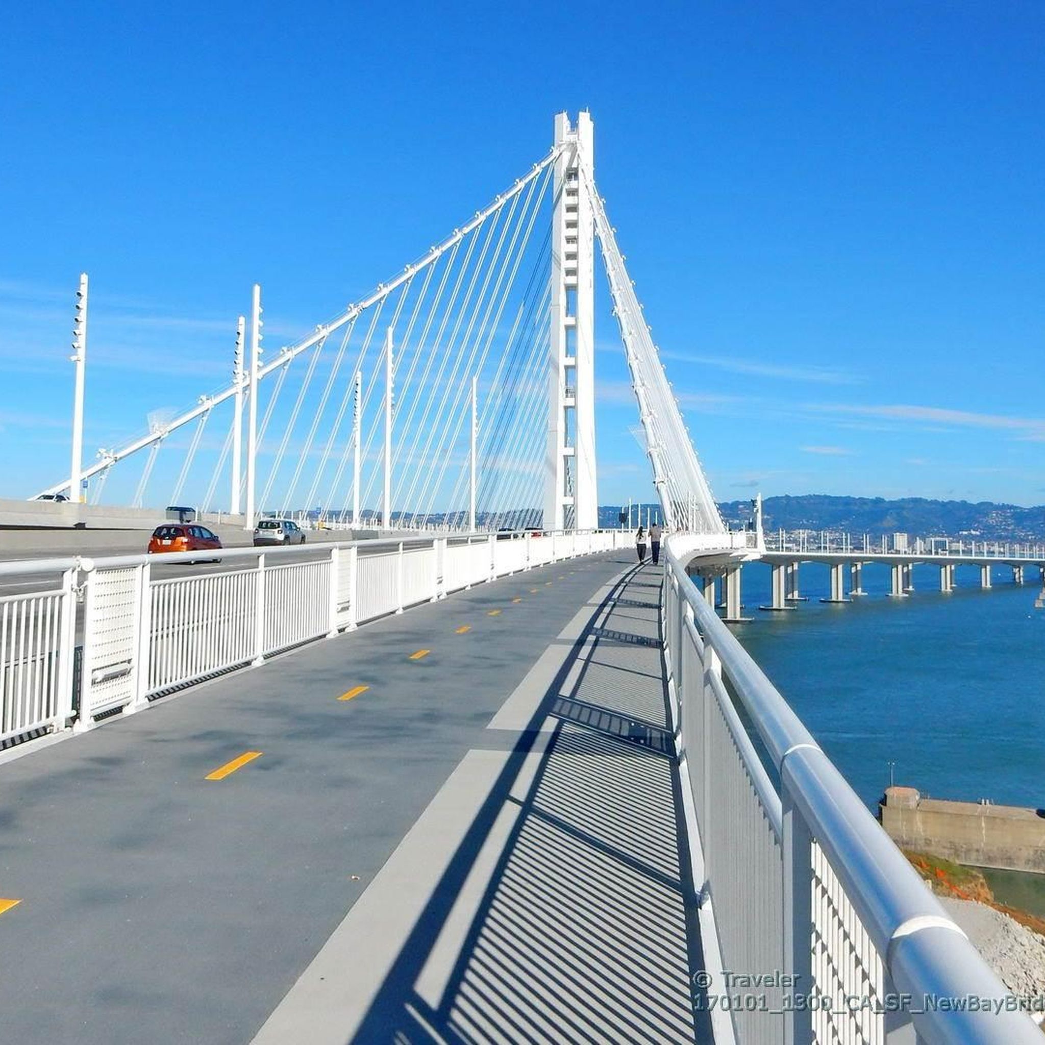
If you're looking for best road cycling routes in the Bay Area with unparalleled views, the San Francisco Bay Trail to Treasure Island delivers. This 22.7-mile (36.6 km) route, rated easy overall, offers a unique journey across the Bay Bridge East Span path, providing intimate views of the water and the San Francisco skyline. While much of the ride is a gentle incline, be prepared for the notoriously steep Macalla Road climb on Yerba Buena Island, a segment with grades up to 24% that will challenge even the strongest cyclists before you reach the panoramic vistas of Treasure Island.
Accessing this route from the East Bay via the Bay Bridge East Span path is straightforward and open daily. However, if you're starting from San Francisco, you'll need to plan for public transport; the Muni 25 bus and the Treasure Island Ferry both accommodate bikes, offering a convenient way to reach Yerba Buena Island. Consider starting early to make the most of the views and to tackle the challenging ascent before it gets too busy.
Treasure Island itself is an artificial island with a rich history, created for the 1939 Golden Gate International Exposition. Beyond the challenging climb, the island offers the easy 1.7-mile Perimeter Trail, perfect for a relaxed spin with stunning viewpoints of the bay and Angel Island. This route combines iconic Bay Area landmarks with a significant physical challenge, making it a memorable ride for those seeking both scenery and a workout.
5.0
(3)
158
riders
61.2km
02:42
560m
560m
The Calaveras Road loop offers a moderate road cycling experience, taking you through a diverse landscape that shifts from cool, shady creek canyons to wide-open, grassy hillsides. You'll cover 38.0 miles (61.2 km) with an elevation gain of 1846 feet (563 metres), which typically takes about 2 hours and 42 minutes to complete. As you pedal, you'll enjoy picturesque views of the Calaveras Reservoir, especially along its scenic segment, and pass through rolling hills dotted with oak trees. The route provides a constantly changing backdrop, keeping your ride interesting from start to finish.
When planning your ride, it's highly recommended to tackle the Calaveras Road loop on weekends. During weekdays, the road sees heavy traffic from South Bay commuters and large gravel trucks, which can make the initial miles less enjoyable and potentially hazardous. Weekends, however, transform the route into a much more pleasant cycling haven with significantly reduced vehicle presence. This timing ensures a more relaxed and safer journey for you.
This route is notable for its unique blend of terrain, offering a dynamic environment for road cyclists. You'll experience a transition from the sheltered, oak-canopied creek areas to expansive, open vistas across the hills. The continuous variation in scenery, with improving views of the creek canyon as you progress, makes this loop a standout option in the region for those seeking a varied and engaging ride.
5.0
(5)
172
riders
39.0km
01:35
130m
130m
Embark on the Alameda Creek and Coyote Hills Loop for an easy road cycling adventure that covers 24.3 miles (39.0 km). You will gain a gentle 440 feet (134 metres) in elevation, making this route achievable in about 1 hour and 34 minutes. As you cycle, you will follow the wide, green creek bed of Alameda Creek before the landscape opens up to the wetlands and marshlands near the San Francisco Bay, offering excellent opportunities for birdwatching. The route then leads you into Coyote Hills Regional Park, where you can enjoy rolling hills and expansive views of the bay, including the iconic Dumbarton Bridge.
Planning your visit is straightforward, as parking is generally available at various access points along the trail and within Coyote Hills Regional Park. While the majority of the route features flat, paved paths, be aware that some sections within Coyote Hills Regional Park, such as parts of the Red Hill Trail, do present very steep grades that can challenge you. The Alameda Creek Trail itself offers both paved and gravel surfaces, so you can choose the section that best suits your bike type and preference for a smooth ride.
This loop is notable for its diverse natural environments, transitioning from a riparian corridor to a vibrant estuarine ecosystem. The marshlands you encounter are part of the San Francisco Bay National Wildlife Refuge, a critical habitat for numerous bird species. The blend of flat, scenic creek-side cycling with the slightly more varied terrain and panoramic bay views within Coyote Hills Regional Park makes this route a popular choice for those looking to combine exercise with natural beauty and wildlife observation in the East Bay.
4.7
(10)
142
riders
53.6km
02:26
150m
150m
Embark on a moderate road cycling adventure along the San Francisco Bay Trail, a route spanning 33.3 miles (53.6 km) with an elevation gain of 479 feet (146 metres). This journey, estimated to take 2 hours and 25 minutes, offers a dynamic experience as you pedal past the iconic Golden Gate Bridge and the sprawling San Francisco city skyline. You will find yourself immersed in diverse scenery, from bustling urban stretches to tranquil natural landscapes and shoreline wetlands.
When planning your ride, be aware that while much of the trail is paved, some sections may transition to dirt or gravel, which might not be ideal for all road bikes. Within San Francisco itself, you could encounter challenging hills, so consider your route carefully. The trail is highly accessible, connecting to numerous parks and public transit options, including bike-friendly ferries, making it easy to start or end your ride.
The San Francisco Bay Trail is notable for its constantly changing environment, offering extensive waterfront views throughout your ride. It winds through a mix of urban areas, quiet neighborhoods, and natural settings, including parks like Point Isabel Regional Shoreline Park. This route provides a unique opportunity to experience the Bay Area's varied ecosystems and urban fabric from the saddle of your bike, linking many distinct parts of the region.
5.0
(3)
125
riders
75.7km
04:01
1,380m
1,380m
If you're seeking a demanding road cycling adventure, the Redwood Double Loop from North Oakland offers a true test of endurance. This difficult route covers 47.1 miles (75.7 km) and climbs a substantial 4513 feet (1375 metres), typically requiring about 4 hours to complete. You will experience the cool, shaded embrace of towering redwood forests, especially along Redwood Road, providing a refreshing contrast to the challenging ascents.
Planning your ride, you should know that this route is a favorite among local cycling clubs for its rigorous climbs and rewarding descents. While primarily paved, some variations might include unpaved sections, so be prepared. Parking is generally available in North Oakland neighborhoods near the starting point; always check local signage for restrictions. This is a route best tackled when you are well-rested and ready for a sustained effort.
The Redwood Double Loop is notable for showcasing the diverse natural beauty of the East Bay. As you cycle, you'll pass through Anthony Chabot Regional Park, enjoying expansive views of the Oakland Hills and glimpses of the Upper San Leandro Reservoir. The route also features the Bay Overlook, offering a moment to pause and appreciate the scenic vistas that make this ride a classic in the region.
4.8
(8)
115
riders
40.0km
02:14
770m
770m
Embark on a moderate road cycling adventure from the lively shores of Lake Merritt into the peaceful embrace of Reinhardt Redwood Regional Park. This 24.9-mile (40.0 km) loop challenges you with 2514 feet (766 metres) of elevation gain, typically completed in about 2 hours and 14 minutes. You will experience a dramatic shift in scenery, moving from urban waterside paths to majestic redwood forests, evergreens, and open grasslands. Look forward to cozy creek-side sections and scenic overlooks offering glimpses of the San Francisco Bay.
The route primarily follows well-paved roads, dedicated cycleways, and city streets, making it suitable for racebike cycling. Be prepared for some unpaved sections within Reinhardt Redwood Regional Park; these are often well-maintained fire roads but can be rocky and uneven. Parking is generally available around Lake Merritt, with both street parking and paid lots as options for starting your ride.
This loop takes you from Lake Merritt, a unique fresh and saltwater body recognized as the USA's first official wildlife refuge, directly into the tranquil beauty of the redwood forests. The dramatic elevation changes offer a dynamic ride, contrasting urban vibrancy with the serene, forested hills. It is a notable route for experiencing diverse landscapes within a single outing.
Get access to more routes and recommendations from other explorers.
Sign up for free
Already have an account?
Our route recommendations are based on thousands of hikes, rides, and runs completed by other people on komoot.
Start today with a free account
Your next adventure awaits.
Login or Signup
Popular around Alameda County
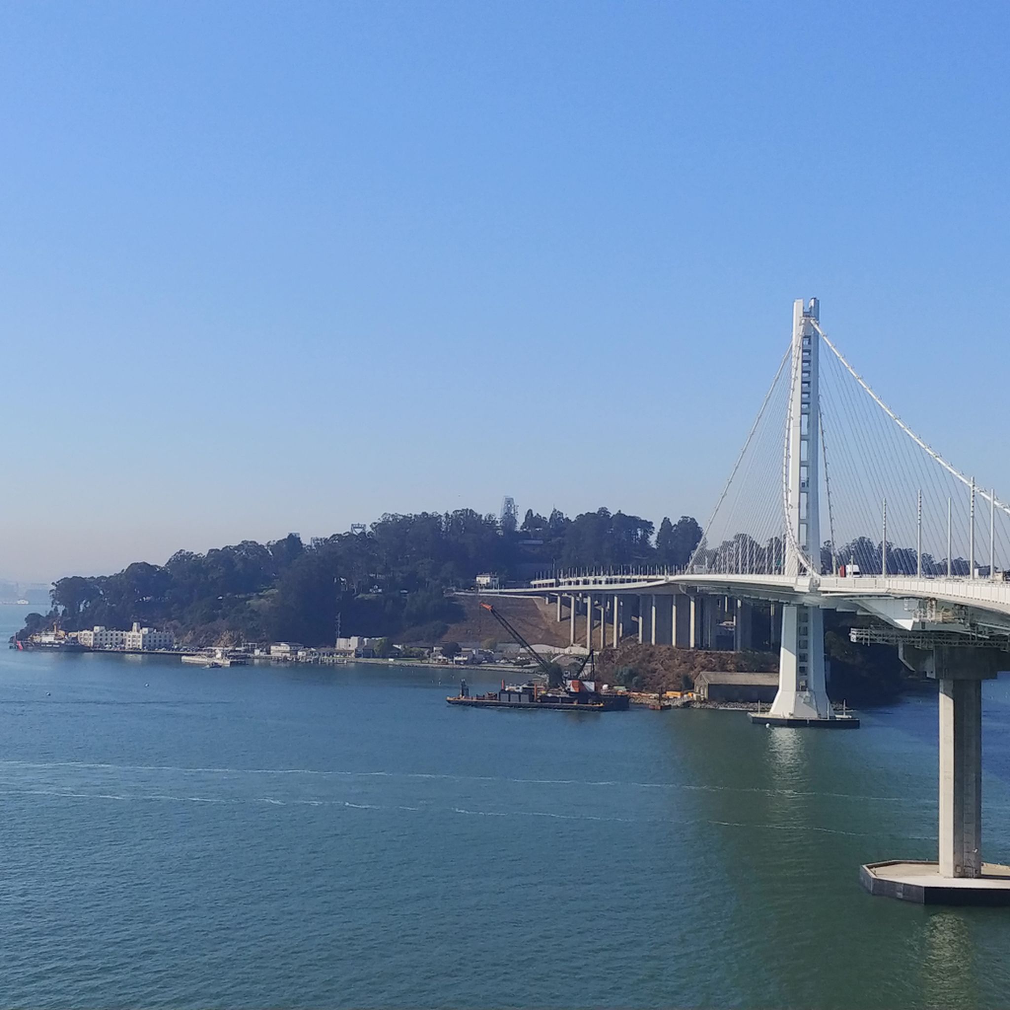
Road Cycling Routes around Oakland
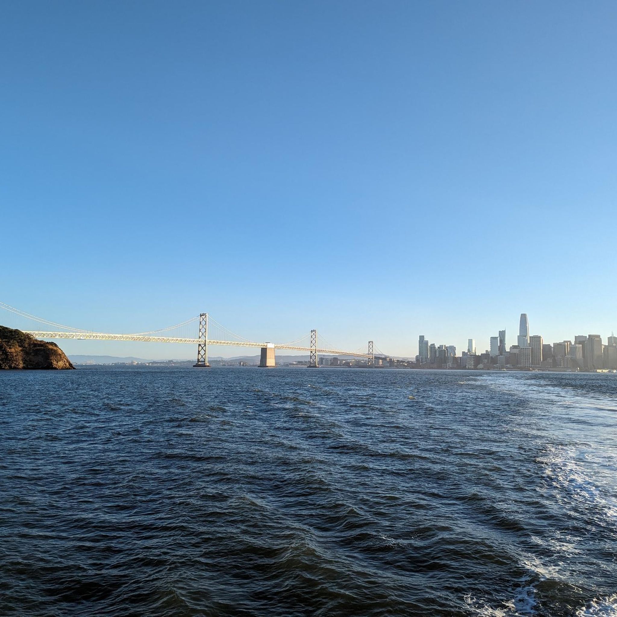
Road Cycling Routes around Berkeley
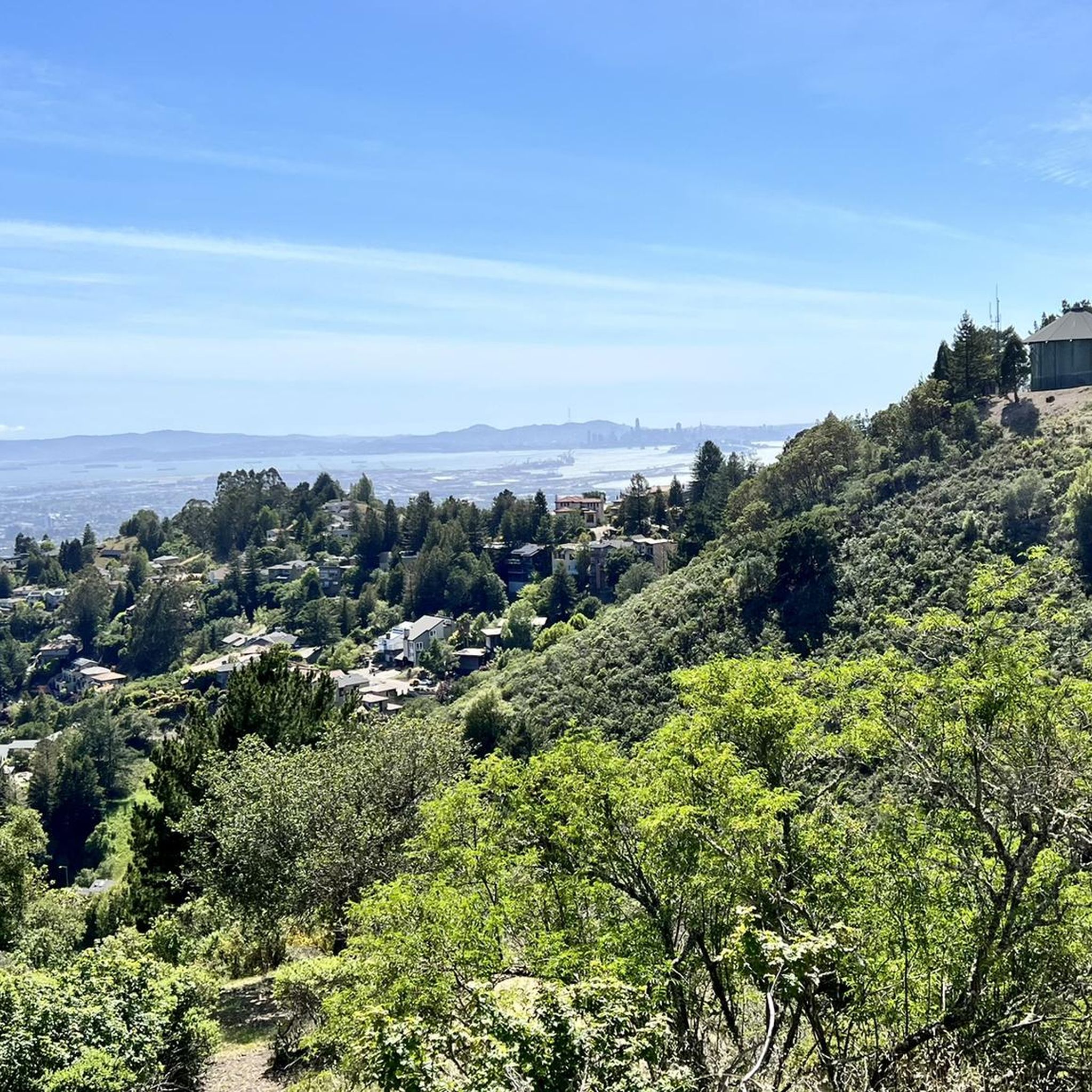
Road Cycling Routes around Piedmont
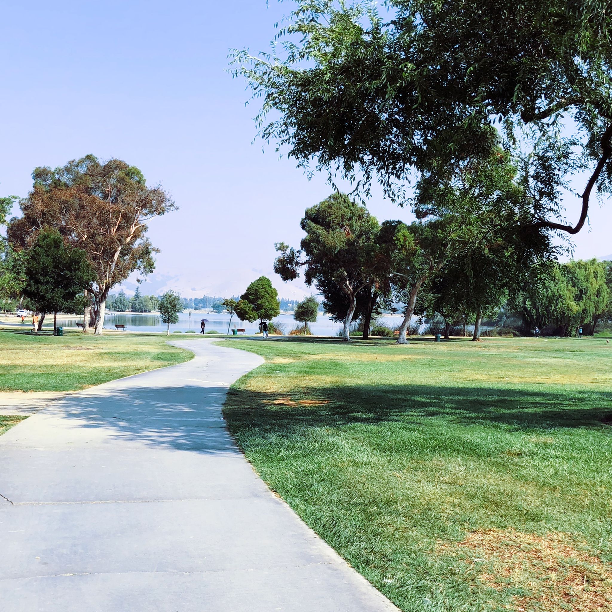
Road Cycling Routes around Fremont
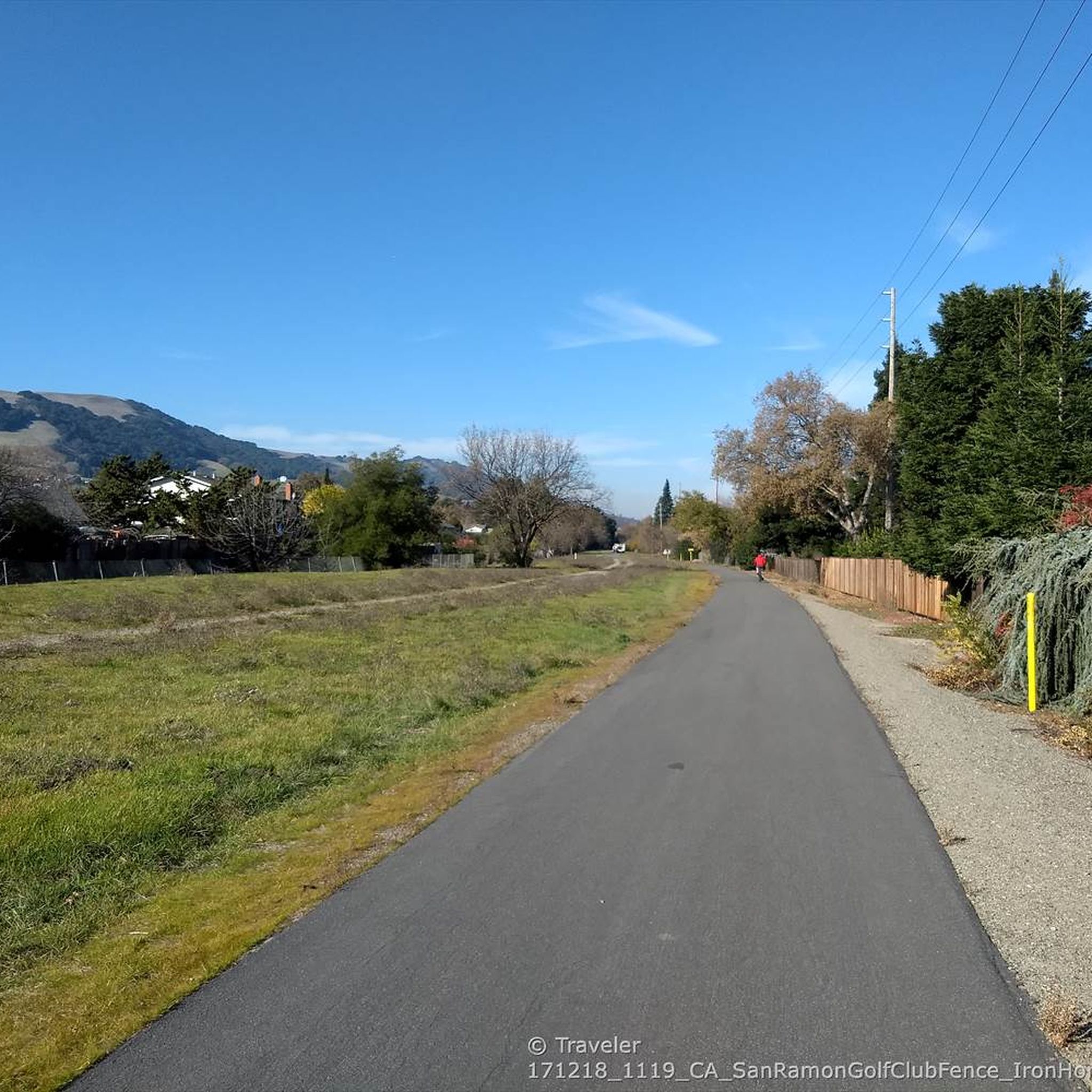
Road Cycling Routes around Pleasanton
Road Cycling Routes around Dublin
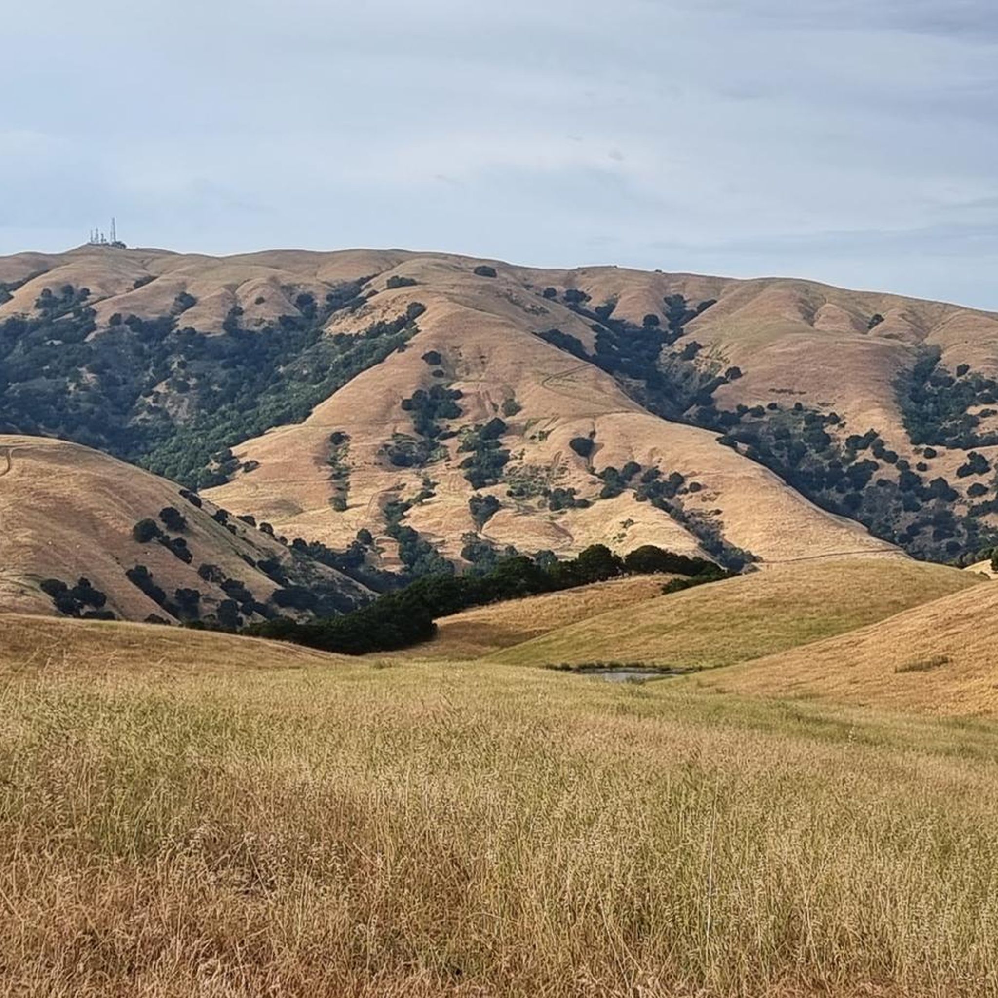
Road Cycling Routes in Vargas Plateau Regional Park
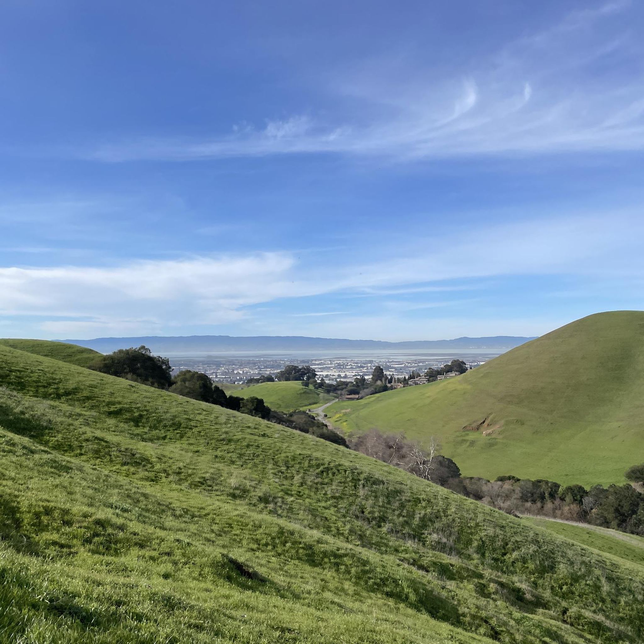
Road Cycling Routes in Garin Regional Park
Road Cycling Routes around Albany
Road Cycling Routes around Emeryville
Valle Vista is the trailhead for the paved Lafayette-Moraga Regional Trail, a popular rail-trail for cyclists. Thereβs a restroom here, but note: the EBMUD dirt trails are hiking-only and require a permit. The bike trail has been officially closed between here and Moraga since a 2019 landslide.
0
0
This road parallels the ridgeline above and have great views over the bay and surrounding hills.
0
0
Cedar Rose Park has tons of sports fields, a couple of play areas, a big lawn, and public restrooms. The park was developed along a section of an abandoned railway right-of-way and is about 5 acres.
0
0
Calfateras road begins by a robust climb, and then it changes to a series of switchbacks with spectacular views to the reservoir and surrounding park. The switchbacks alternate between downhill and moderate climbs, before a long downhill and flat terrain.
0
0
Riding south on Felter road from Calaveras after doing Polamares and and Calaveras Roads was a real challenge, especially since it was my first time! Get something to fuel up on at the Sunol Little Store!
0
0
This fun sculpture is right along the Ohlone Greenway in San Gabriel Municipal Park. The blue tubes around the word serve as benches for travelers resting in the shade of the railway overhead.
0
0
It's a shame that you can't walk out of there anymore; that was still possible in the 1990s.
0
0
Cedar Rose Park, located on the Ohlone Greenway, is a 5-acre park with two play areas, picnic sites with BBQ grills, and sports courts. It has a public restroom, allows dogs, and provides picnic tables. Open daily from 6 a.m. to 10 p.m., the park features a fenced tot lot, a large green field, and a playground for older children, making it a popular family destination.
0
0
Alameda County offers a wide selection of road cycling routes, with over 480 tours available. These routes cater to various skill levels, ranging from easy coastal paths to challenging climbs through the hills.
You'll find diverse terrain for road cycling in Alameda County. The region features flat, scenic bay trails with waterfront views, such as segments of the San Francisco Bay Trail. Inland, the East Bay Hills offer significant elevation changes, winding roads, and challenging climbs through regional parks like Redwood Regional Park and Tilden Regional Park.
Yes, Alameda County has over 170 easy road cycling routes. For a relaxed ride with beautiful bay views, consider the San Francisco Bay Trail to Treasure Island, which is an easy 36.6 km route.
For experienced cyclists seeking a challenge, Alameda County offers nearly 70 difficult routes. The East Bay Hills are a prime location for these, with routes like Elmwood to Tilden Regional Park, ascending into the Berkeley Hills, or the Meyer Library to Inspiration Point loop, which features sustained climbs and descents.
Many routes in Alameda County offer stunning waterfront views. The San Francisco Bay Trail: Berkeley to Richmond Shoreline is a popular choice, leading through diverse Bay Area scenery. Other options include the Shoreline Trail along Robert W. Crown Beach and the Bay Farm Island Loop, both providing panoramic views of the San Francisco skyline.
Yes, loop routes are a popular option for road cyclists in Alameda County. The Meyer Library to Inspiration Point loop is a challenging 51.5 km route through the East Bay Hills. Another notable loop is the Calaveras Road loop, known for its significant length and elevation.
Many routes pass by or near notable attractions. You can cycle around Lake Merritt in Oakland, a popular urban spot. The Bay Bridge Trail offers panoramic views of the San Francisco Bay. For natural beauty, routes may take you near Oyster Bay Regional Shoreline or through areas with views of Mission Peak.
While many road cycling routes involve traffic, some segments of the San Francisco Bay Trail are flat and smooth, making them suitable for family rides. The East Shore Trail within Lake Chabot Regional Park is also paved, shaded, and flat, offering a pleasant experience.
The road cycling routes in Alameda County are highly rated by the komoot community, with an average score of 4.6 stars from over 470 reviews. Cyclists often praise the diverse terrain, from the stunning bay views to the challenging climbs in the East Bay Hills, and the variety of routes catering to all ability levels.
Alameda County has various public transport options, including BART and AC Transit, which can provide access to different parts of the county. Many routes, especially those starting in urban centers like Oakland or Berkeley, are often accessible by public transport, though specific bike-on-transit rules may apply.
Yes, the East Bay Hills are home to Redwood Regional Park, which features towering redwoods and a serene, cool ecosystem. Routes like the Lake Merritt to Reinhardt Redwood Regional Park loop offer the chance to cycle through or near these majestic trees.
Alameda County generally offers good cycling conditions year-round due to its mild climate. Spring and fall often provide ideal temperatures and clear skies. However, the diverse terrain means you can find suitable routes in any season, with coastal paths being pleasant in summer and some hilly routes offering cooler temperatures.


Check out more Road cycling routes throughout Alameda County below and find the perfect route in your destination.
Browse the best Road cycling routes in other regions.




