The best road cycling routes around Conters im Prättigau
4.1
(172)
7,941
riders
37
rides
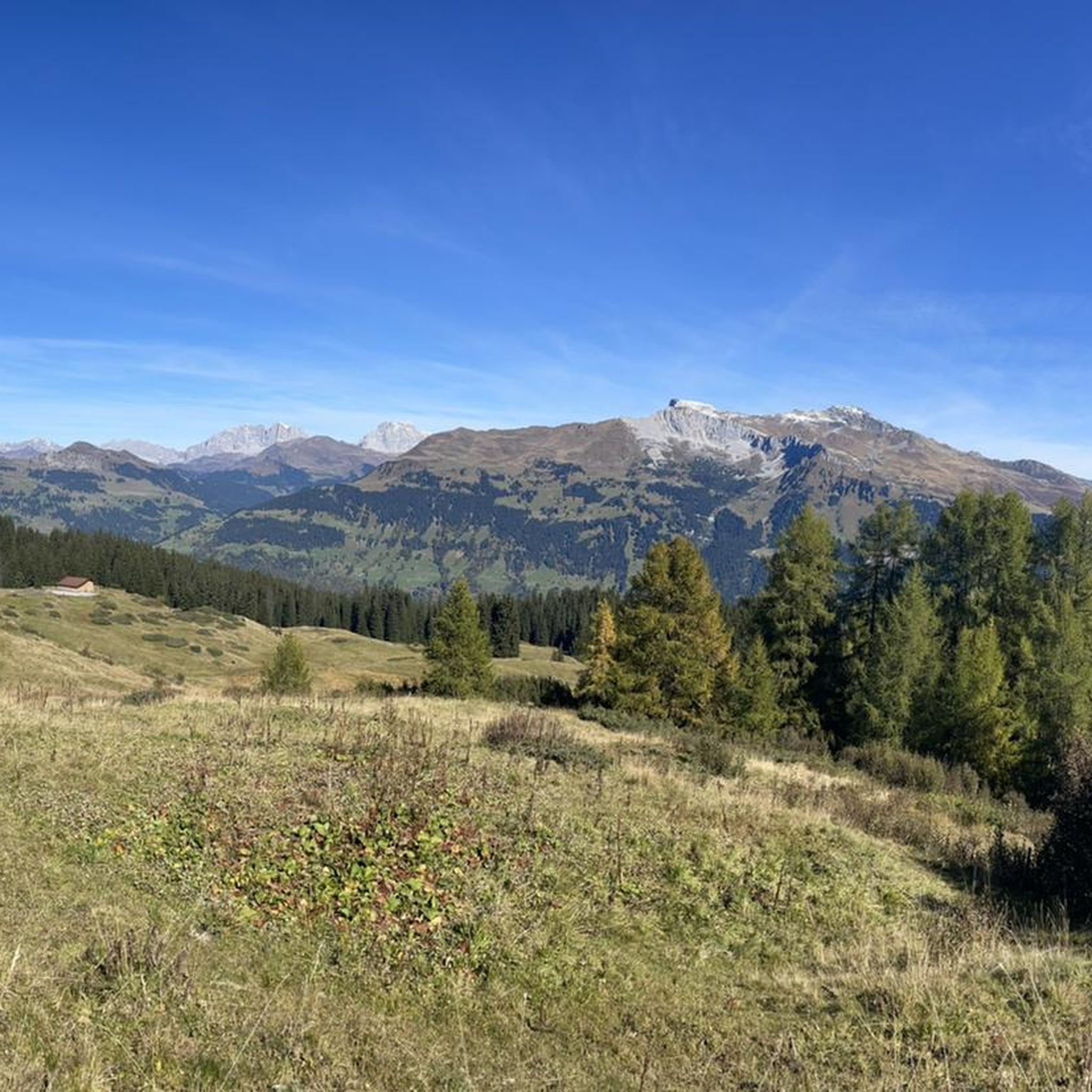
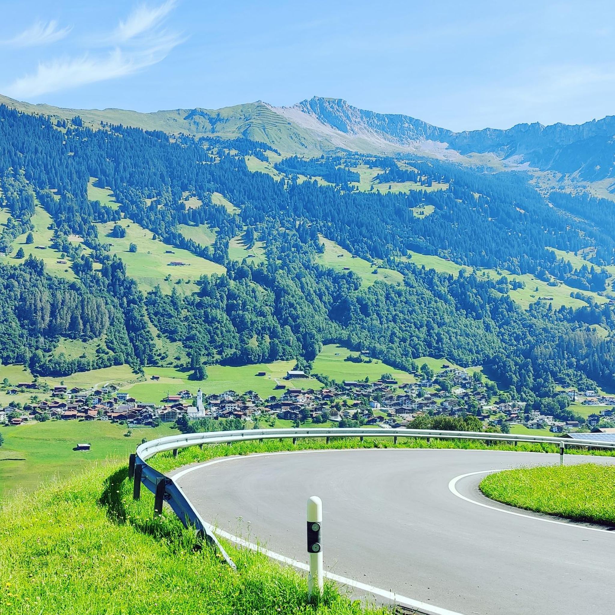
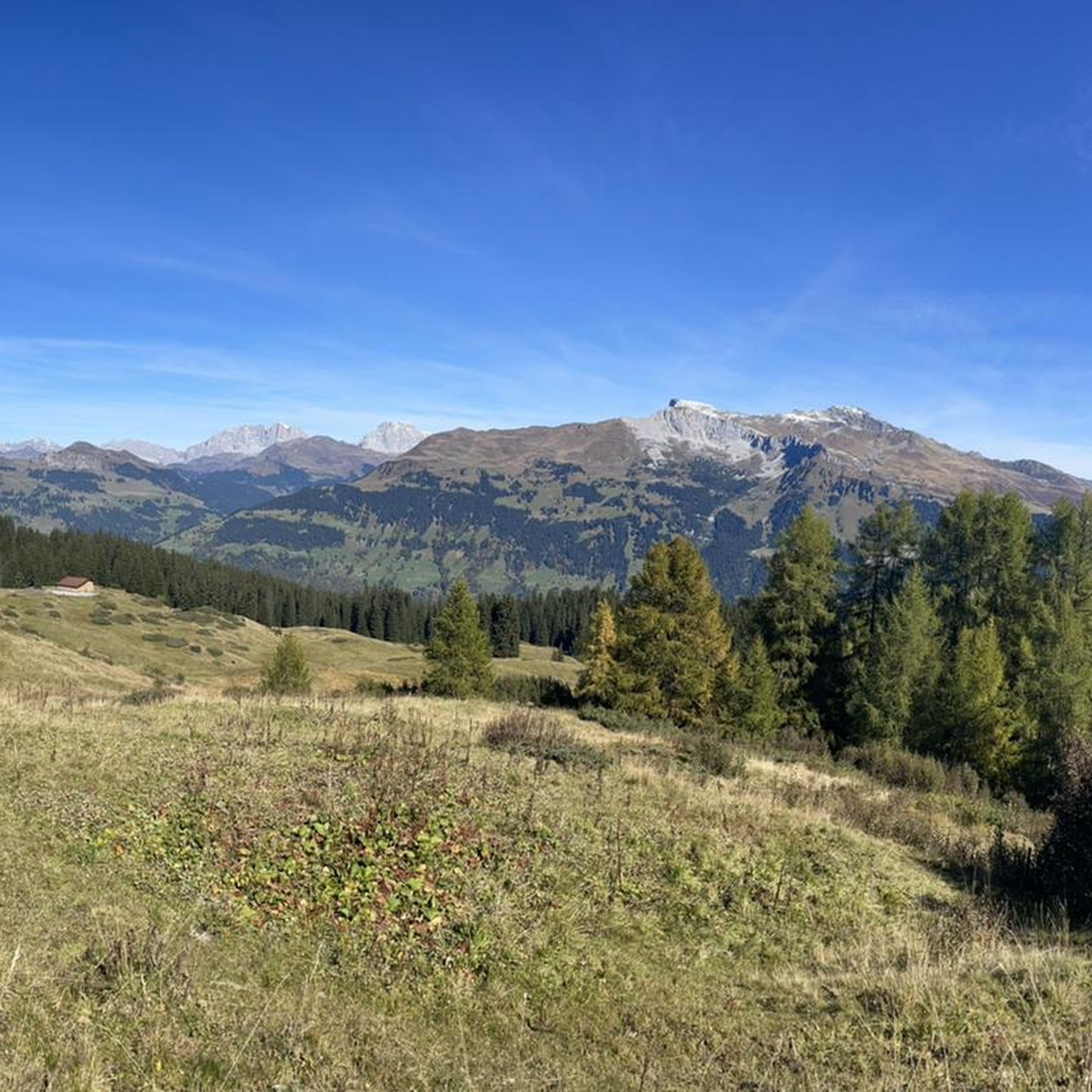
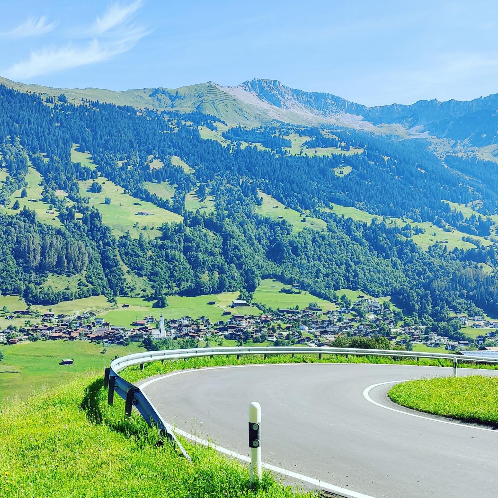
Road cycling routes around Conters im Prättigau traverse a mountainous landscape characterized by deep valleys, river paths, and challenging ascents. The region, situated in the Prättigau valley, offers diverse terrain for road cyclists, from routes following the Landquart River to climbs over mountain passes. These routes often feature significant elevation gains, providing a demanding experience for advanced riders.
Best road cycling routes around Conters im Prättigau
- The most popular road cycling route is Bergünerstein Gorge – Bergün loop from Davos…
Last updated: October 25, 2026
4.8
(57)
3,790
riders
126km
07:07
2,870m
2,870m
Hard road ride. Very good fitness required. Mostly well-paved surfaces and easy to ride.
4.0
(13)
553
riders
115km
06:08
2,150m
2,150m
Hard road ride. Very good fitness required. Some segments of this route may be unpaved and difficult to ride.

4.2
(18)
432
riders
64.8km
03:20
1,010m
1,010m
Hard road ride. Very good fitness required. Some segments of this route may be unpaved and difficult to ride.
4.3
(3)
135
riders
133km
06:52
2,170m
2,170m
Hard road ride. Very good fitness required. Some segments of this route may be unpaved and difficult to ride.
4.8
(4)
114
riders
83.1km
04:57
1,980m
1,980m
Hard road ride. Very good fitness required. Some segments of this route may be unpaved and difficult to ride.
Get access to more routes and recommendations from other explorers.
Already have an account?
Our route recommendations are based on thousands of hikes, rides, and runs completed by other people on komoot.
Start today with a free account
Your next adventure awaits.
Tips from the Community

Sül Munt Baselgia e fin Lais da Macun
0
0

Spectacular road cycling pass with many ever-changing views. Try to tackle the tour, if possible, on weekdays and shoulder days, like at the end of April, shortly after the pass's spring opening. Then there will be snow walls to the left and right, and when rolling into the valley, spring will come towards you! Brilliant
0
0

A short stop in La Punt is worthwhile. This is mainly due to the striking white house – the Chesa Merleda. This is a prominent example of Engadine architecture.
1
0

Beautiful section. Best driven on a car-free day.
1
0

A place of power in a special class
0
0

First village coming from the Ofenpass
2
0

Ruinaulta Rhine Gorge The Ruinaulta, or Rhine Gorge, is a gorge of the Vorderrhein River, up to 400 meters deep and approximately 13 kilometers long, between Ilanz and the mouth of the Hinterrhein River near Reichenau in the canton of Graubünden in Switzerland. The Romansh name 'Ruinaulta' is composed of the two words ruina (scree slope, quarry) and aulta (high). The Ruinaulta was formed after the Flims Landslide almost 10,000 years ago. At that time, over 10 billion cubic meters of rock broke off between the Flimserstein and Piz Grisch, burying the Vorderrhein Valley between the present-day villages of Castrisch and Reichenau under a mass of debris several hundred meters thick. Because the Vorderrhein River could no longer drain away, a lake was dammed over a length of approximately 25 kilometers. Over time, the river cut deep into the landslide, and the resulting lake drained away completely. What remained was the Ruinaulta, with its steep limestone scree cliffs in impressive erosion formations. Text / Source: Wikipedia https://de.wikipedia.org/wiki/Ruinaulta
16
0
Confluence of the Vorderrhein and Hinterrhein, Reichenau Dominated by Reichenau Castle, the hamlet lies at the confluence of the Vorderrhein and Hinterrhein rivers, making it virtually the birthplace of the Rhine. It all began 10,000 years ago. Between the Flimserstein (a high plateau) and Piz Grisch, over 10,000 cubic meters of rock broke off and thundered down into the valley. Towards Reichenau, the Vorderrhein valley disappears under a gigantic mass of rubble. From there, the Rhine diligently ate its way through the rock, creating the spectacular Swiss "Grand Canyon" – the Ruinaulta. Text / Source: myswitzerland.com https://www.myswitzerland.com/de-ch/erlebnisse/route/vom-zusammenfluss-der-rheine-in-die-rheinschlucht/
16
0
Frequently Asked Questions
How many road cycling routes are available around Conters im Prättigau?
There are nearly 40 road cycling routes around Conters im Prättigau, offering a diverse range of experiences for cyclists. These include options from easy to very challenging, with a significant number of difficult routes.
Are there any easy road cycling routes for beginners in Conters im Prättigau?
Yes, while the region is known for its challenging terrain, there are 6 easy road cycling routes available around Conters im Prättigau, suitable for beginners or those looking for a more relaxed ride. These routes often follow river paths or less steep valleys.
What are the most challenging road bike climbs in the Conters im Prättigau region?
The region is characterized by significant elevation gains, making it ideal for advanced road cyclists. Routes like the Bergünerstein Gorge – Bergün loop from Davos Laret feature nearly 2,900 meters of ascent over 125 kilometers, providing a demanding experience. Another challenging option is the Chur-Coira (Switzerland) – Bündner Herrschaft vineyards loop from Klosters Platz, which covers 133 kilometers with over 2,100 meters of climbing.
Are there circular road bike routes available in Conters im Prättigau?
Many of the road cycling routes in Conters im Prättigau are designed as loops, allowing you to start and end in the same location. For example, the Chlus Gorge – Cycle Path Along the Landquart River loop from Klosters Platz offers a 64.6 km circular ride through a scenic gorge and along the river.
What kind of scenic viewpoints can I expect along the road cycling routes?
The road cycling routes in Conters im Prättigau offer stunning views of the mountainous landscape, deep valleys, and river paths. You might encounter panoramic vistas from mountain passes or picturesque scenes along the Landquart River. The Heidsee (Lake Heid) – Old Town and St. Martin's Church, Chur loop from Davos Wolfgang, for instance, features scenic lake views and passes through historic areas.
What do other road cyclists enjoy most about cycling in Conters im Prättigau?
The road cycling routes in Conters im Prättigau are highly rated by the komoot community, with an average score of 4.4 stars from over 130 reviews. Cyclists often praise the diverse terrain, from challenging mountain passes to scenic river valleys, and the demanding yet rewarding experience of the region's ascents.
Are there any notable landmarks or attractions to see along the road cycling routes?
Yes, the region offers several interesting landmarks. You might pass by the historic Schatzalp Mountain Hotel or the impressive Salginatobel Bridge, a UNESCO World Heritage Site. Some routes also lead through historic towns or past natural features like the Bergünerstein Gorge.
What is the best time of year for road cycling in Conters im Prättigau?
Road cycling in Conters im Prättigau is generally best during the warmer months, typically from late spring to early autumn. During this period, mountain passes are usually clear of snow, and the weather conditions are more favorable for long rides with significant elevation changes. Always check local weather and road conditions before heading out.
Are there any routes that pass through gorges or along rivers?
Absolutely. The region is known for its deep valleys and river paths. The Chlus Gorge – Cycle Path Along the Landquart River loop from Klosters Platz is a prime example, leading you directly through the Chlus Gorge and alongside the Landquart River. Another route, the Bergünerstein Gorge – Bergün loop from Davos Laret, navigates through the notable Bergünerstein Gorge.
Can I find routes that include mountain passes in the Conters im Prättigau area?
Yes, mountain passes are a defining feature of road cycling in Conters im Prättigau. Routes frequently involve significant climbs over passes. The Wolfgang Pass – Prättigau Cycle Path loop from Furna is an excellent option if you're looking to conquer a notable pass and enjoy the views from higher elevations.
Are there any routes that offer views of lakes or pass through historic towns?
Yes, the Heidsee (Lake Heid) – Old Town and St. Martin's Church, Chur loop from Davos Wolfgang is a fantastic choice. This route provides scenic lake views of Heidsee and takes you through the historic Old Town of Chur, allowing you to combine cycling with cultural exploration.
Most popular routes around Conters im Prättigau
Most popular attractions around Conters im Prättigau

Get inspired with the komoot mobile app


Explore more
Browse the best Road cycling routes in other regions.
