The best road cycling routes in Utuado Municipio
32
riders
15
rides
Road cycling in Utuado Municipio is defined by its mountainous terrain, offering significant elevation changes and varied routes. The region's topography features lush forests, such as Río Abajo State Forest, and winding rivers like the Tanamá and Viví, which carve dramatic canyons. Man-made lakes, including Lago Dos Bocas and Lago Caonillas, add to the scenic diversity, providing an environment for road cyclists seeking challenging ascents and diverse scenery.
Best road cycling routes in Utuado Municipio
- The most popular road cycling…
Last updated: November 16, 2026
6
riders
Moderate road ride. Good fitness required. Mostly well-paved surfaces and easy to ride.
6
riders
39.5km
01:40
320m
320m
Moderate road ride. Good fitness required. Mostly well-paved surfaces and easy to ride.

5
riders
53.4km
02:20
460m
460m
Moderate road ride. Good fitness required. Mostly well-paved surfaces and easy to ride.
4
riders
31.1km
01:36
550m
550m
Moderate road ride. Good fitness required. Mostly well-paved surfaces and easy to ride.
3
riders
85.0km
04:14
1,380m
1,380m
Hard road ride. Very good fitness required. Mostly well-paved surfaces and easy to ride.
3
riders
41.7km
02:21
930m
930m
Hard road ride. Very good fitness required. Mostly well-paved surfaces and easy to ride.
Get access to more routes and recommendations from other explorers.
Already have an account?
Our route recommendations are based on thousands of hikes, rides, and runs completed by other people on komoot.
Start today with a free account
Your next adventure awaits.
Popular around Utuado Municipio

Tips from the Community

Great to shoot in the morning 🚲
0
0
It is preferable to shoot in the morning in this place, better oxygen and less traffic!
0
0
Frequently Asked Questions
What kind of terrain can I expect when road cycling in Utuado Municipio?
Utuado Municipio, whose name means "between mountains," is characterized by its rugged and verdant mountainous terrain. You can expect significant elevation changes, offering challenging ascents and exhilarating descents. The routes often feature a mix of well-paved surfaces, with some longer or more challenging segments potentially including unpaved sections. Lush forests, dramatic canyons, and scenic lakes also define the landscape.
Are there road cycling routes suitable for beginners in Utuado Municipio?
Yes, there are routes suitable for various skill levels. For beginners, the region offers easier options. For example, the Roadbike loop from Sabana Hoyos is an easy 17.2-mile (27.8 km) route with moderate elevation gain, providing a good introduction to the area's cycling.
What are some challenging road cycling routes for experienced riders?
Experienced riders seeking a challenge will find several difficult routes with substantial climbs. The Loma de la Zarza – Dos Bocas Dam loop from Zamas is a difficult 51.1-mile (82.2 km) path featuring significant elevation gain and views of Lago Dos Bocas. Another demanding option is the Roadbike loop from Barrio Pueblo, which spans 52.8 miles (85 km) with over 4,500 feet of climbing.
Are there road cycling routes that feature scenic views or natural landmarks?
Many routes in Utuado Municipio offer spectacular mountains and panoramic views. The Loma de la Zarza – Dos Bocas Dam loop from Zamas provides views of Lago Dos Bocas. Other routes, such as the Lago Guajataca loop from Callejones and the Lago Guajataca loop from Barrio Pueblo, offer scenic rides around Lago Guajataca. You'll also pass through lush forests and alongside rivers, experiencing the region's diverse natural beauty.
Can I find circular road cycling routes in Utuado Municipio?
Yes, many of the road cycling routes in Utuado Municipio are designed as loops, allowing you to start and end at the same point. Examples include the Northern Sugar Route loop from Barrio Pueblo, the La Torrecilla – Cerro La Torre loop from Lares, and the Mountain loop from Florida.
What is the best time of year to go road cycling in Utuado Municipio?
Utuado Municipio's tropical climate makes it suitable for outdoor activities year-round. However, the cooler, drier months from December to April are generally preferred for cycling, offering more comfortable temperatures and less chance of rain. Always check the local weather forecast before heading out.
Are there any unique cultural or historical points of interest along the road cycling routes?
While cycling, you might pass through areas known for their coffee farms, such as Hacienda Horizonte and Hacienda Café Gran Batey, which add to the picturesque countryside and offer cultural insights into the region's agricultural heritage. The Tanamá River area is also known for its petroglyphs, offering a glimpse into the island's Taíno history.
What other outdoor activities can I combine with road cycling in Utuado Municipio?
Utuado Municipio is an adventure hub. Beyond road cycling, you can enjoy hiking in Río Abajo State Forest, exploring caves, bird-watching, or engaging in water activities like kayaking or boat tours on Lago Dos Bocas and Lago Caonillas. The Tanamá River is popular for cave tubing, rappelling, and canyoneering.
Are there any routes that pass by lakes or rivers?
Absolutely. Utuado is home to several scenic lakes and rivers. The Loma de la Zarza – Dos Bocas Dam loop from Zamas offers views of Lago Dos Bocas. You can also find routes that take you along the Tanamá River, Río Caonillas, and Viví River, which carve dramatic canyons through the landscape.
How many road cycling routes are available in Utuado Municipio?
There are over 10 road cycling routes documented in Utuado Municipio, catering to various difficulty levels from easy to difficult. This selection ensures that cyclists of different abilities can find suitable options to explore the region's diverse landscapes.
What is the longest road cycling route in Utuado Municipio?
For those looking for a longer ride, the Roadbike loop from Barrio Pueblo is one of the most extensive, covering approximately 52.8 miles (85 km) with significant elevation gain, making it a challenging and rewarding experience.
Most popular routes in Utuado Municipio
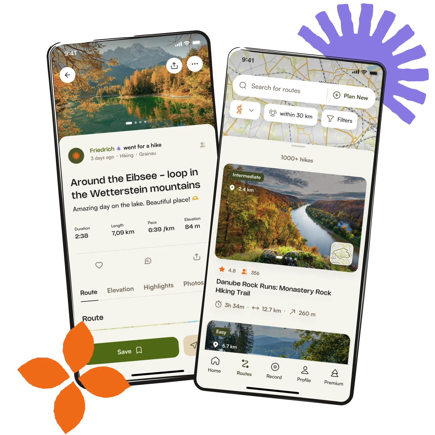
Get inspired with the komoot mobile app


Explore more
Browse the best Road cycling routes in other regions.