The best walks and hikes in Randolph County
4.8
(11)
224
hikers
53
hikes
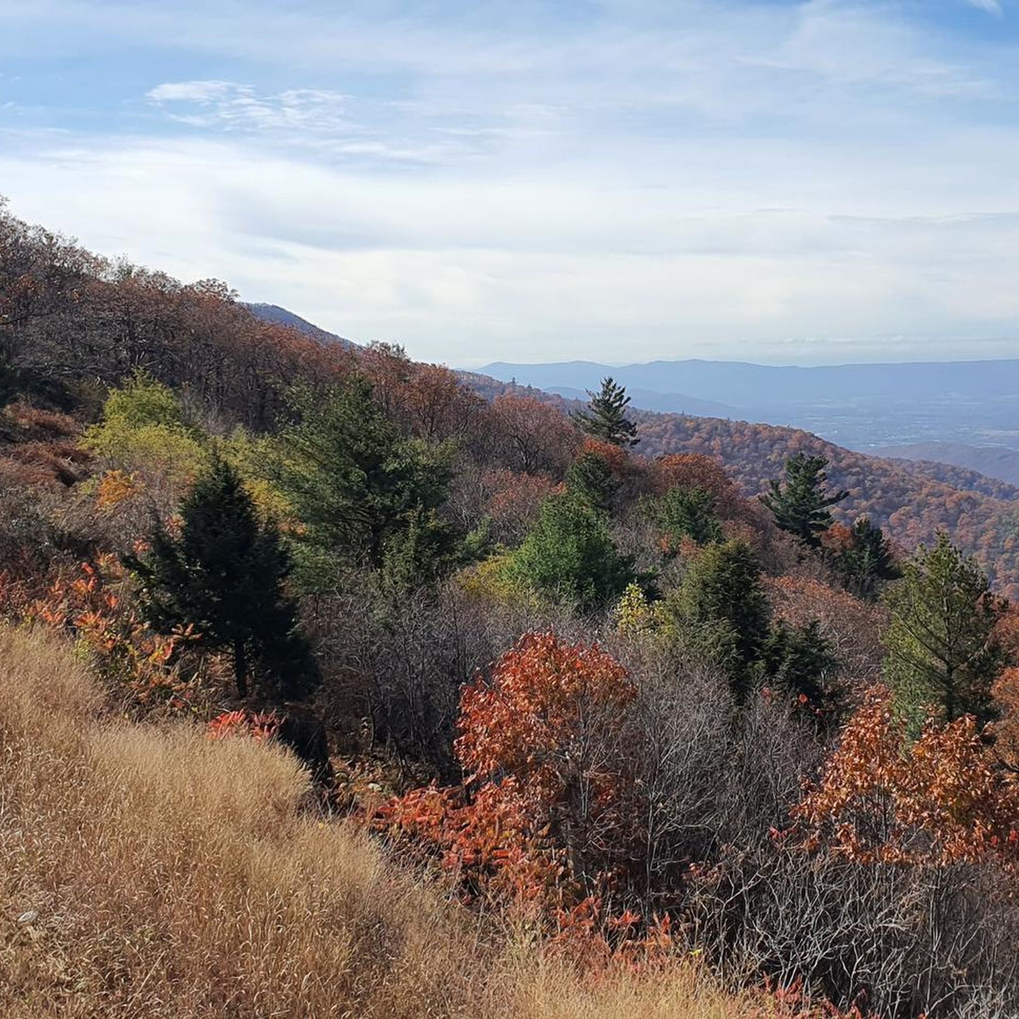
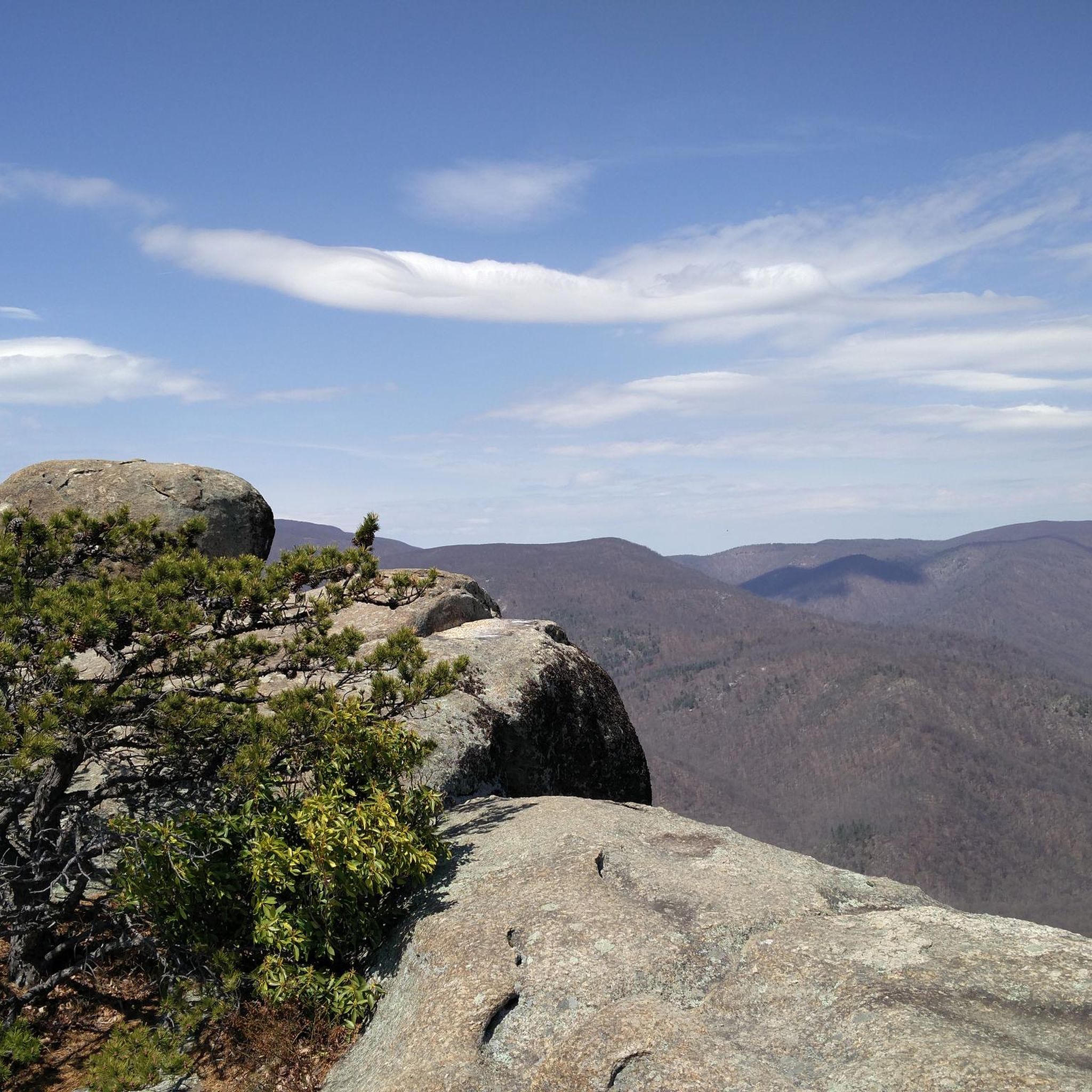
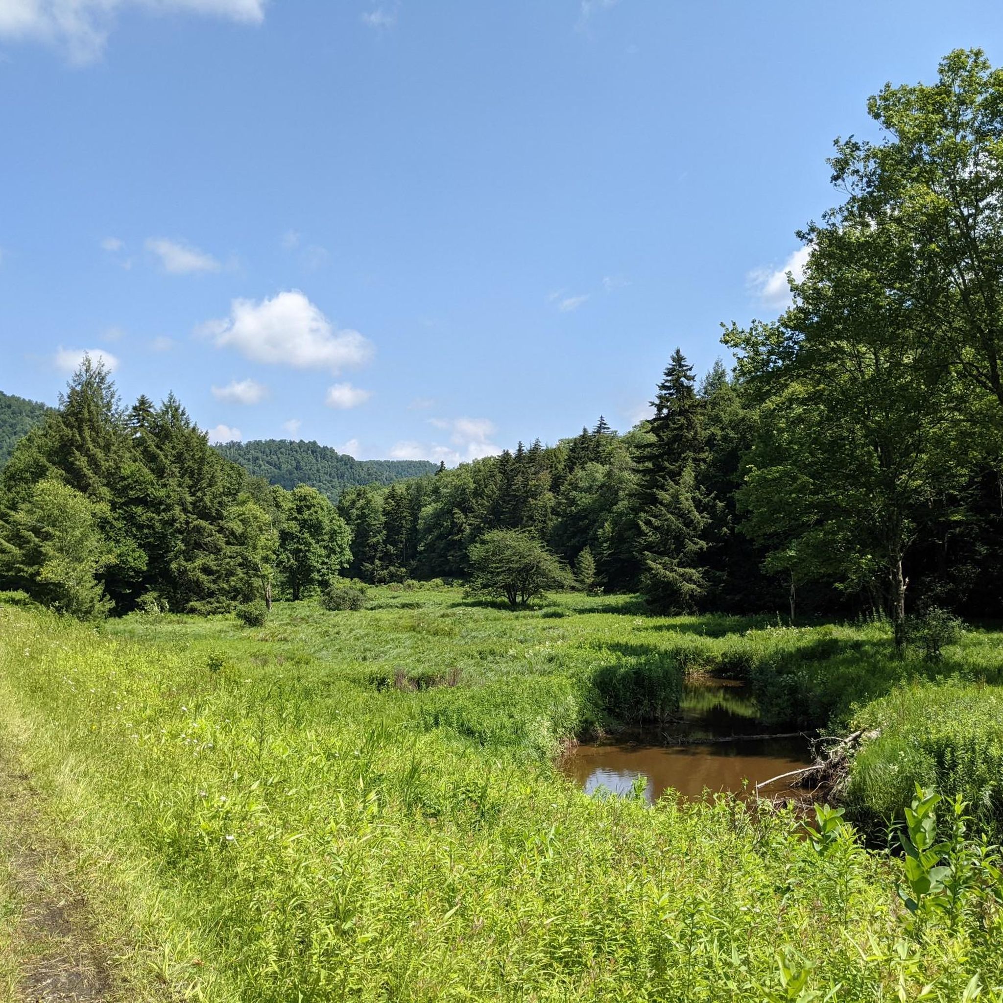
Hiking in Randolph County, West Virginia, navigates the rugged terrain of the Monongahela National Forest. The landscape is characterized by high-elevation plateaus, dense forests, and rocky outcrops like those found in the Dolly Sods Wilderness. Many routes feature waterfalls and expansive viewpoints.
Best hiking trails in Randolph County
- The most popular hiking route is Little Stonecoal, Lion's Head, and Red Creek Loop, a 10.2 miles (16.4 km) trail that takes around 4 hours 5 minutes to complete. This moderate hike leads to notable rock formations and waterfalls within the wilderness area.
- Another top favourite among local hikers is Red Creek and Rocky Point Trail Loop, a moderate 8.7 miles (14.1 km) path. The trail follows forested paths to multiple waterfalls.
- Local hikers also love the Red Creek and Big Stonecoal Loop, a 13.2 miles (21.2 km) trail leading through Monongahela National Forest, often completed in about 7 hours 45 minutes.
- Hiking in Randolph County is defined by high-altitude wilderness, forested river valleys, and prominent rock cliffs. The trail network provides options for both moderate day hikes and more difficult, long-distance routes.
- The routes in Randolph County are highly rated by the komoot community with an average score of 4.8 stars from more than 15 reviews. More than 250 hikers have used komoot to explore Randolph County's varied terrain.
Last updated: August 17, 2026
10
hikers
5.91km
01:51
330m
40m
The Lion's Head via Red Creek and Big Stonecoal Trail offers a truly unique hiking experience in West Virginia's Dolly Sods Wilderness, taking you through a diverse landscape of open meadows, dense spruce forests, and sub-alpine terrain. You'll follow old logging corridors and navigate rocky sections, culminating in the iconic Lion's Head Rock, which provides sweeping 270-degree views of the Red Creek Valley. This moderate route covers 3.7 miles (5.9 km) with 1095 feet (334 metres) of elevation gain, typically completed in about 1 hour and 50 minutes, making it a rewarding challenge for those seeking dramatic vistas.
Planning your visit requires a bit of preparation; the trail can be muddy, especially after rain, and some stream crossings might be challenging. While trails are marked with cairns, they are not blazed, and cell service is spotty, so bring a map. The fall season is particularly spectacular with vibrant foliage, making it a popular time to hike. Parking is available at the Red Creek Trailhead, but arriving early is advisable, especially during peak times.
The Dolly Sods Wilderness is a high-altitude ecosystem on the East Coast, often described as having sub-arctic characteristics due to its unique flora and wind-carved sandstone formations. Historically, the area was used for logging and military training, and hikers should be aware of the potential for unexploded ordnance. The trail also features the rugged Red Creek with several waterfalls, adding to the area's natural beauty and making it a standout destination in Tucker County.
2
hikers
21.2km
06:07
520m
510m
The Red Creek and Big Stonecoal Loop offers a rugged and rewarding hike through West Virginia's unique Dolly Sods Wilderness. You'll traverse diverse terrain, from flat sections along Red Creek to challenging climbs through rhododendron tunnels, all while enjoying sweeping vistas and a sub-alpine ecosystem. Keep an eye out for numerous waterfalls, including the impressive Big Stonecoal Falls, as you navigate this 13.2-mile (21.2 km) route.
Planning for this difficult hike means being ready for adventure. With 1713 feet (522 metres) of elevation gain and an estimated duration of 6 hours and 7 minutes, you'll need sturdy footwear for rocky sections and multiple stream crossings, which can be knee-deep after rain. Cell service is unreliable, so bring downloaded maps, as the trails are often unblazed and rely on cairns for navigation.
What truly sets this loop apart is its distinctive ecosystem, often compared to more northern latitudes, making it unlike other trails in West Virginia. The area's history as old logging railroad corridors adds character, and it's a popular spot for creek-side camping. Just remember the historical note about WWII bombing training and never touch any suspicious objects you might encounter.

Sign up for free
6.59km
01:46
90m
70m
The Mylius Gap via Otter Creek Trail plunges you into the untouched beauty of West Virginia's Monongahela National Forest, offering a truly primitive hiking experience. You'll wander through dense forests of red spruce and hemlock, navigating abundant rhododendron thickets that create natural tunnels. The trail meanders alongside Otter Creek, where you can enjoy picturesque cascades and the constant sound of rushing water, providing a genuine sense of solitude.
This easy 4.1-mile (6.6 km) route, with a gentle 287 feet (88 metres) of elevation gain, typically takes around 1 hour and 46 minutes to complete. However, be prepared for potentially muddy and wet sections, especially after rain, and challenging creek crossings. Since trails in this wilderness are not signed, strong navigation skills are crucial, and proper footwear is a must for the rugged terrain.
The Otter Creek Wilderness is renowned for its remote feel and rich natural features, including historical old railroad grades and a significant black bear population. This trail is perfect for those seeking a less-maintained environment and a chance to immerse themselves in nature, away from crowded paths. It's a fantastic option for an easy, yet adventurous, day out.
5.0
(1)
17
hikers
14.1km
04:06
390m
390m
Hike the moderate 8.7-mile Red Creek and Rocky Point Trail Loop in Dolly Sods Wilderness, featuring waterfalls, vistas, and Lion's Head Rock
5.0
(1)
7
hikers
16.4km
04:45
430m
430m
Hike the 10.2-mile Little Stonecoal, Lion's Head, and Red Creek Loop in Dolly Sods, featuring waterfalls, rocky terrain, and panoramic views
8
hikers
7.80km
02:12
170m
170m
Hike the moderate 4.8-mile Rohrbaugh Trail in Dolly Sods Wilderness for rugged terrain and spectacular views from Rohrbaugh Cliffs.
3
hikers
11.3km
03:21
340m
340m
Hike the moderate 7.0-mile Big and Little Stonecoal Loop in Dolly Sods Wilderness, featuring waterfalls and diverse landscapes.
3
hikers
10.7km
02:57
180m
180m
Hike the moderate 6.7-mile Rohrbaugh and Wildlife Trail Loop in Dolly Sods Wilderness, featuring scenic cliffs and unique ecosystems.
9
hikers
8.10km
02:18
190m
190m
Moderate hike. Good fitness required. Easily-accessible paths. Suitable for all skill levels.
5
hikers
1.61km
00:25
10m
10m
Easy hike. Great for any fitness level. Easily-accessible paths. Suitable for all skill levels.
Get access to more routes and recommendations from other explorers.
Sign up for free
Already have an account?
Our route recommendations are based on thousands of hikes, rides, and runs completed by other people on komoot.
Start today with a free account
Your next adventure awaits.
Login or Signup


Tips from the Community

Forest Road 75 runs along the eastern edge of Dolly Sods Wilderness. The road is unpaved, and does not see much traffic. You can use the road as a linker in order to connect various trails in the area.
0
0
Small waterfall located on the Red Creek Trail. You can find the falls as you cross over a small tributary of Red Creek. One of many falls that can be found along this path.
0
0

A cascade hemmed in by forest and small rock ledges. A short bushwhack is necessary to reach the waterfall from Red Creek Trail.
0
0
A craggy, stepped waterfall that descends among ledges and boulders.
0
0
A terraced, moss-covered waterfall that flows at the side of the trail.
0
0
The first of several waterfalls on the hike. This minor waterfall is located where the trail crosses the water.
0
0
A scenic waterfall that cascades over a series of ledges and layered rock. The waterfall is visible shortly after the crossing of Red Creek.
0
0
A unique rock formation on the southern side of Breathed Mountain that resembles the profile of a lion's face. The location offers superb views of the surrounding mountains and river valleys.
0
0
Frequently Asked Questions
Are there many hiking trails in Randolph County?
Yes, there are over 40 curated hiking routes to explore in Randolph County. The trails range from easy strolls to challenging multi-day treks, with the majority falling into the moderate category, often featuring the rugged terrain of the Monongahela National Forest.
What do other hikers think of the trails in Randolph County?
The area is highly regarded by the komoot community, with an average rating of 4.6 stars. Hikers frequently praise the wild, scenic beauty of the Dolly Sods Wilderness and the abundance of waterfalls and dramatic viewpoints throughout the region.
Are there any good waterfall hikes in the area?
Absolutely. The region is known for its waterfalls. For a moderate hike that takes you past several, consider the Stairstep Falls – Curtain Falls loop from Davis. It's a popular choice for experiencing the area's beautiful water features.
Can I find any easy, family-friendly hikes?
While many trails are moderate due to the terrain, there are easier options. The Rohrbaugh Trail to Rohrbaugh Cliffs is a good choice, offering incredible views without a huge amount of elevation gain, making it more accessible for a family outing.
Are dogs allowed on the hiking trails in Randolph County?
Yes, dogs are generally welcome on trails within the Monongahela National Forest, including popular areas like Dolly Sods, provided they are on a leash and under your control. Always check specific trailhead regulations before you start your hike.
What are some good circular walks or loop trails?
There are several excellent loop trails that allow you to see a variety of landscapes without backtracking. The Rohrbaugh & Wildlife Trails loop in the Dolly Sods Wilderness is a fantastic moderate option that offers a complete and scenic circuit.
Are there any trails with particularly scenic overlooks?
Many trails in the region lead to stunning vistas. For one of the most iconic views, head to Lion's Head Rock. The Lion's Head Rock loop from Davis is a moderate hike that rewards you with breathtaking panoramas of the surrounding wilderness.
What is hiking like in the Dolly Sods Wilderness?
Hiking in Dolly Sods is a unique experience characterized by high-altitude plateaus, wind-carved rock formations, and fragile ecosystems similar to those found in northern Canada. Trails can be rocky and wet. A great introduction is the Stonecoal Trail Lasso, which showcases the area's distinct terrain.
Are there opportunities for backpacking or long-distance hiking?
Yes, Randolph County is an excellent destination for backpacking. The extensive trail network in the Monongahela National Forest offers many options for multi-day trips. For a challenging day hike or a section of a longer trek, the Spruce Knob Observation Tower – Judy Springs Campground loop from Whitmer covers significant ground.
Can I go hiking in the winter?
Winter hiking is possible but requires careful preparation. High-elevation areas like Dolly Sods and Spruce Knob can receive significant snowfall and experience extreme weather. Trails may be icy and access roads can close. Always check weather forecasts and road conditions, and carry appropriate gear like microspikes and warm layers.
Where can I find a good hike near a campground?
Many trails are accessible from campgrounds. The Judy Springs Campground is a popular base for exploring the surrounding forest. From there, you can access routes like the Judy Springs Campground – Upper Seneca Creek Falls loop from Whitmer, which is perfect for a day trip from your campsite.
Most popular routes in Randolph County

Get inspired with the komoot mobile app


Didn’t find what you were looking for?
Check out more Hikes throughout Randolph County below and find the perfect route in your destination.
Explore more
Browse the best Hikes in other regions.
