The best cycling routes around Gålåvatnet
4.9
(19)
194
riders
24
rides
Touring cycling around Gålåvatnet offers routes through mountain landscapes, expansive forest paths, and elevated mountain plateaus. The region, situated at an elevation of 777 meters above sea level, provides panoramic views towards the Jotunheimen and Rondane mountains. Cyclists encounter varied terrain, including both challenging climbs and rewarding descents, often on paved surfaces. The area features wide-open vistas of untouched land, characteristic of the Gudbrandsdalen valley.
Best touring cycling routes around Gålåvatnet
- The most popular touring cycling route is Lakeside Camping…
Last updated: July 10, 2026
5.0
(3)
17
riders
31.1km
02:12
460m
460m
Hard bike ride. Very good fitness required. Mostly paved surfaces. Suitable for all skill levels.
24
riders
59.5km
05:03
910m
910m
Hard bike ride. Very good fitness required. Mostly paved surfaces. Suitable for all skill levels.

Sign up for free
12
riders
39.4km
02:55
490m
490m
Hard bike ride. Very good fitness required. Mostly paved surfaces. Suitable for all skill levels.
6
riders
45.6km
03:31
630m
630m
Hard bike ride. Very good fitness required. Mostly paved surfaces. Suitable for all skill levels.
4
riders
32.0km
02:21
700m
700m
Hard bike ride. Very good fitness required. Mostly paved surfaces. Suitable for all skill levels.
Get access to more routes and recommendations from other explorers.
Sign up for free
Already have an account?
Our route recommendations are based on thousands of hikes, rides, and runs completed by other people on komoot.
Start today with a free account
Your next adventure awaits.
Login or Signup
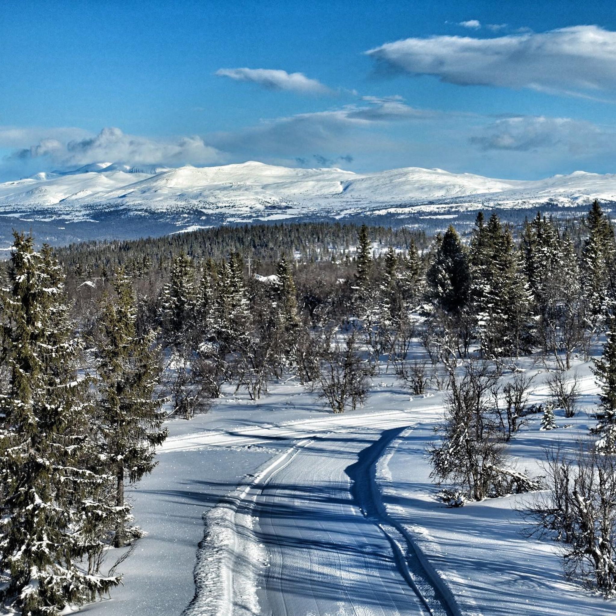
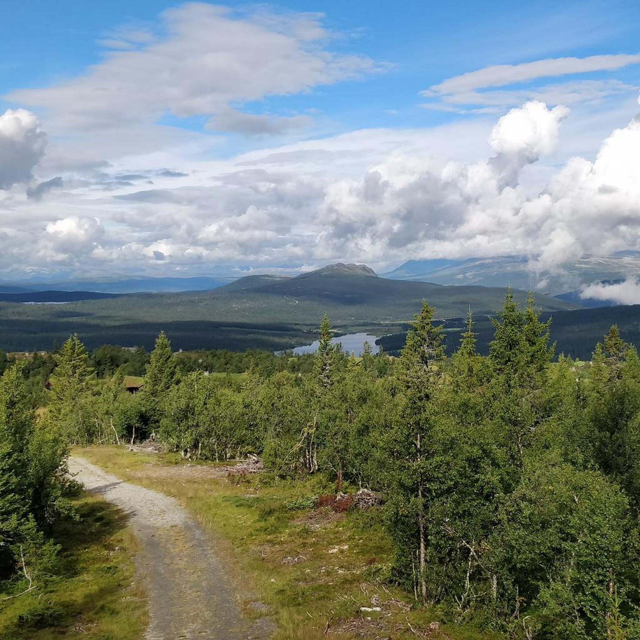
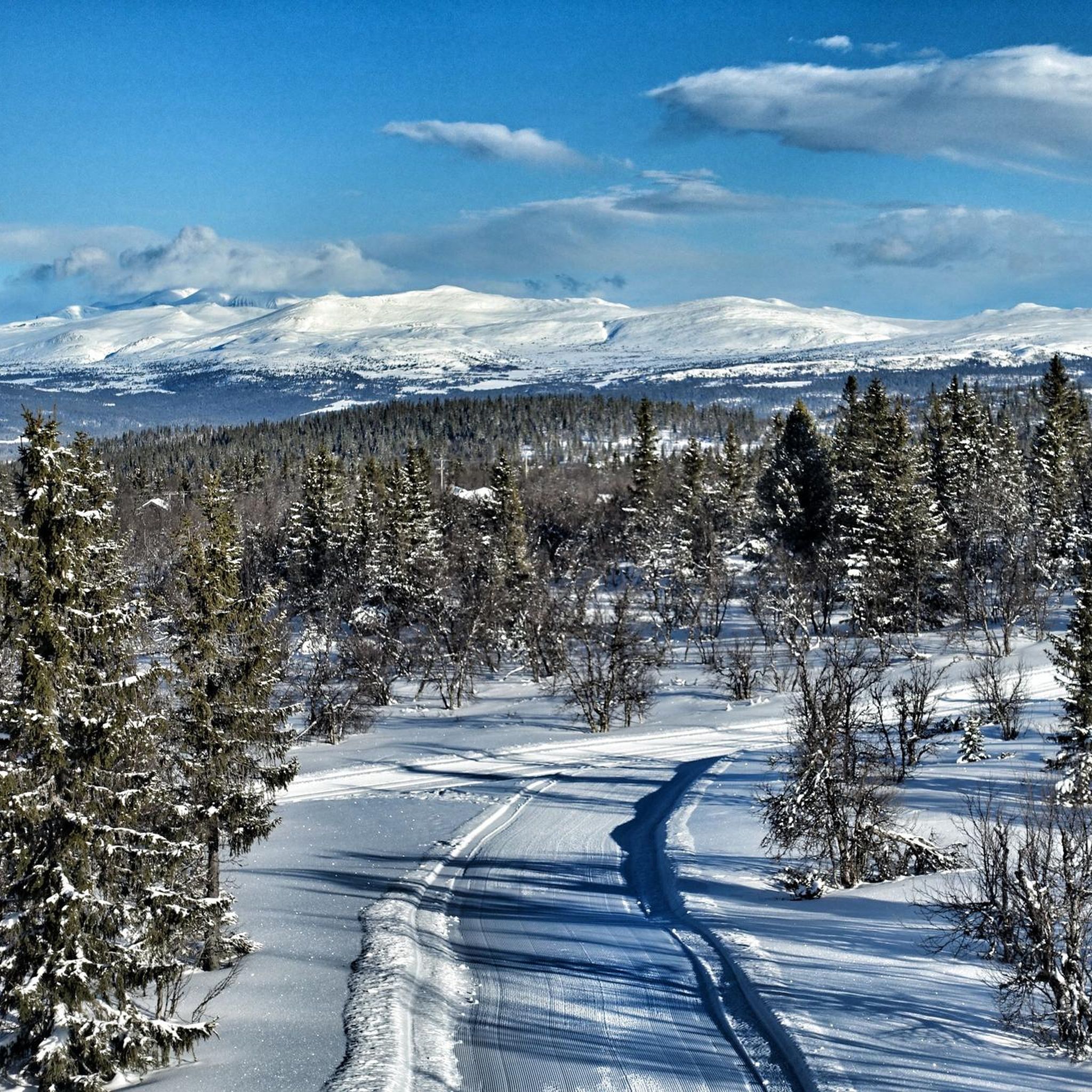
Tips from the Community

Segalstad Seter is a pleasant place to eat after a wonderful day out in the mountains, whether skiing or hiking. It is a bar, café and restaurant all in one, offering everything you need to recharge your batteries.
0
0
As its Norwegian name suggests, Skei fjellandsby is a mountain village attached to the town of Skei. It features pretty wooden chalets. Pleasant hiking trails start from here, such as Helgafossen.
0
0

It’s worth climbing up from Vinstra to camp at this place.
0
0

Winding road with nonstop views: nothing like Peer Gyntvegen to crank up the mountain mood.
0
0

While driving technically undemanding descents simply enjoy the scenery. But beware of stubborn sheep in the middle of the way!
0
0
Frequently Asked Questions
What kind of terrain can I expect on touring cycling routes around Gålåvatnet?
The Gålåvatnet area, nestled in Norway's Gudbrandsdalen valley, offers a diverse cycling experience. You'll encounter spectacular mountain landscapes, expansive forest paths, and elevated mountain plateaus. Routes often feature significant elevation changes, providing both challenging climbs and rewarding descents, primarily on paved surfaces. Expect wide-open vistas of untouched land, with panoramic views towards the Jotunheimen and Rondane mountains.
Are there routes suitable for experienced touring cyclists seeking a challenge?
Yes, the Gålåvatnet region is well-suited for cyclists with good to very good fitness, offering routes with considerable elevation changes. For example, the Åsalia – Middagshaugen loop from Gålå is a difficult 41.2 km path that traverses varied mountain terrain. Another challenging option is the Krokhaugen – Gudshaug loop from Gålå, covering 32 km with over 700 meters of elevation gain.
When is the best time of year for touring cycling in Gålåvatnet?
Given the region's elevation and character, the warmer months are generally the best time for touring cycling around Gålåvatnet. This allows you to fully enjoy the mountain landscapes and forest paths without snow or ice, which are common during winter (when the area is popular for cross-country skiing). Always check local weather conditions before heading out.
Are there any circular touring cycling routes around Gålåvatnet?
Many of the touring cycling routes in the Gålåvatnet area are designed as loops, allowing you to start and end in the same location. For instance, the Lakeside Camping Spot – Long, easy descent loop from Peer Gynt Kafé is a 30.9 km circular route. Another option is the Long, easy descent – Lakeside Camping Spot loop from Gålå, which covers 45.6 km through mountain landscapes and forest paths. The Gålåvatnet Round, a 15.6 km loop, is also a scenic option, primarily known for cross-country skiing but adaptable for cycling in warmer months. You can find more information about it on Visit Norway.
What natural features or landmarks can I see while cycling around Gålåvatnet?
While cycling, you'll be treated to stunning natural beauty. The Gålåvatnet lake itself is a central feature, situated at 777 meters above sea level. You'll experience breathtaking panoramic views, including vistas towards the majestic Jotunheimen mountains to the west and the Rondane mountains to the north. Routes like the Peer Gynt Seterveg offer wide-open vistas of untouched land, providing a profound sense of natural immersion.
Are there any cultural attractions near the cycling routes?
Yes, the region offers cultural points of interest. The charming Gålå Village, located on a mountain plateau about 930 meters above sea level on the eastern shore of Gålåvatnet, serves as a hub for activities and a potential stop. The area is also famously the backdrop for the annual Peer Gynt Festival, a significant cultural event that takes place near the lake.
Are there any gravel touring cycling routes in the Gålåvatnet area?
Yes, a particularly notable route for cyclists is the Peer Gynt Seterveg. This remarkable gravel road traverses remote eastern mountain plains and is described as a phenomenal cycling experience, offering wide-open vistas that inspired Henrik Ibsen's classic play.
What do other touring cyclists say about the routes in Gålåvatnet?
The touring cycling routes in Gålåvatnet are highly rated by the komoot community, with an average score of 5.0 stars from 16 reviews. Over 167 touring cyclists have explored the varied terrain, often praising the stunning mountain landscapes and the rewarding challenges offered by the elevation changes.
How long does it typically take to complete a touring cycling route in the Gålåvatnet area?
The duration varies depending on the route's length and difficulty, as well as your pace. For example, the Lakeside Camping Spot – Long, easy descent loop from Peer Gynt Kafé, which is 30.9 km, typically takes around 2 hours and 11 minutes. Longer routes like the Bench in Forest Clearing – Rocky Slope with Forest View loop from Gålå, at 39.8 km, might take closer to 3 hours and 16 minutes.
Are there places to stop for refreshments or accommodation along the routes?
The Gålå Village, situated on a mountain plateau, acts as a hub for activities and offers potential stops for refreshments or accommodation. Some routes, like the Lakeside Camping Spot – Long, easy descent loop from Peer Gynt Kafé, even start or pass by places like Peer Gynt Kafé, indicating opportunities for breaks.
Are there any easy touring cycling routes for beginners or families in Gålåvatnet?
While the majority of listed touring cycling routes in Gålåvatnet are rated as 'difficult' due to significant elevation changes and varied mountain terrain, they are primarily suited for those with good to very good fitness. There are no routes specifically categorized as 'easy' for touring cycling in the immediate guide data. However, the 15.6 km Gålåvatnet Round, while known for cross-country skiing, might offer a less strenuous scenic loop around the lake during warmer months, potentially adaptable for families or beginners seeking a shorter, flatter experience. Always check the route profile and conditions before you go.
Most popular routes around Gålåvatnet

Get inspired with the komoot mobile app


Explore more
Browse the best Cycling routes in other regions.
