The best road cycling routes in Albany County
36
riders
8
rides
If you've ever tried to plan road cycling in Albany County, you know how overwhelming the options can be. With so many routes out there, it's tough to tell which ones are genuinely worth your time and effort, and which are just filler. You're looking for the real highlights, not just another generic ride.
That's where we come in. Our komoot community has ridden, mapped, and reviewed these routes, so this guide is your shortcut to the best road cycling routes in Albany County. We've curated a shortlist of the rides that truly deliver, saving you the guesswork and ensuring your legs are well spent.
Road cycling in Albany County offers a diverse landscape, from riverside paths to areas with rolling hills. You'll find an extensive network of multi-use trails, many of them paved and perfect for road bikes, allowing you to explore varied terrain including woodlands and gradual slopes. The region provides options for all preferences, from shorter loops around Laramie to challenging long-distance routes.
If you only have time for one ride, the Snowy Range Road (Centennial, Wyoming to North Platte River) is a challenging 79.9 miles (128.9 km) route with significant elevation changes that offers a big payoff for experienced riders. For a more accessible, easy ride, the Laramie to Roger Canyon Road covers 19.3 miles (31.0 km) with a gentle 686 feet (209 m) of climbing. With more than 40 road cyclists already exploring with komoot, you're in good company. Start exploring these routes and discover your next favorite ride!
Last updated: May 10, 2026
20
riders
31.0km
01:19
210m
210m
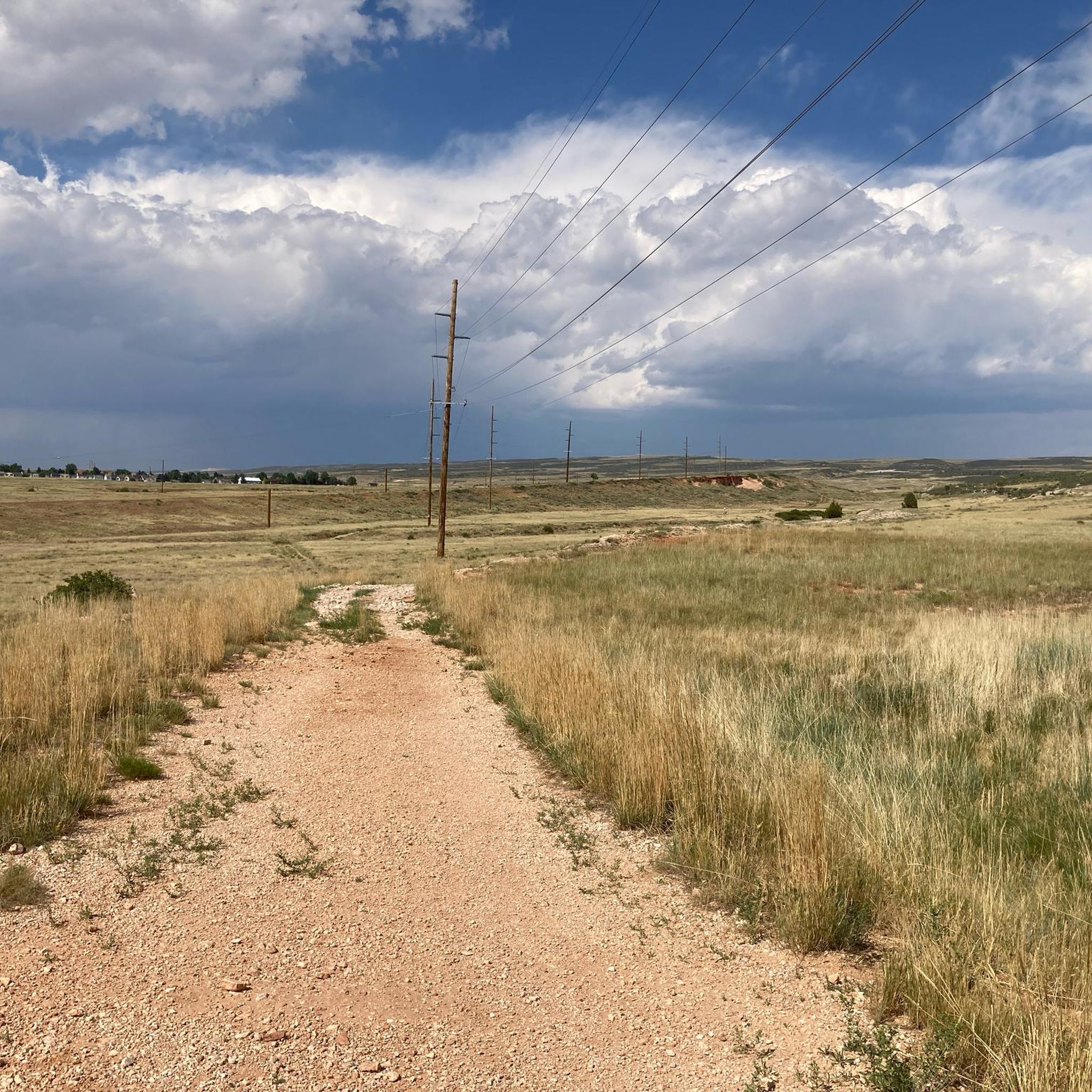
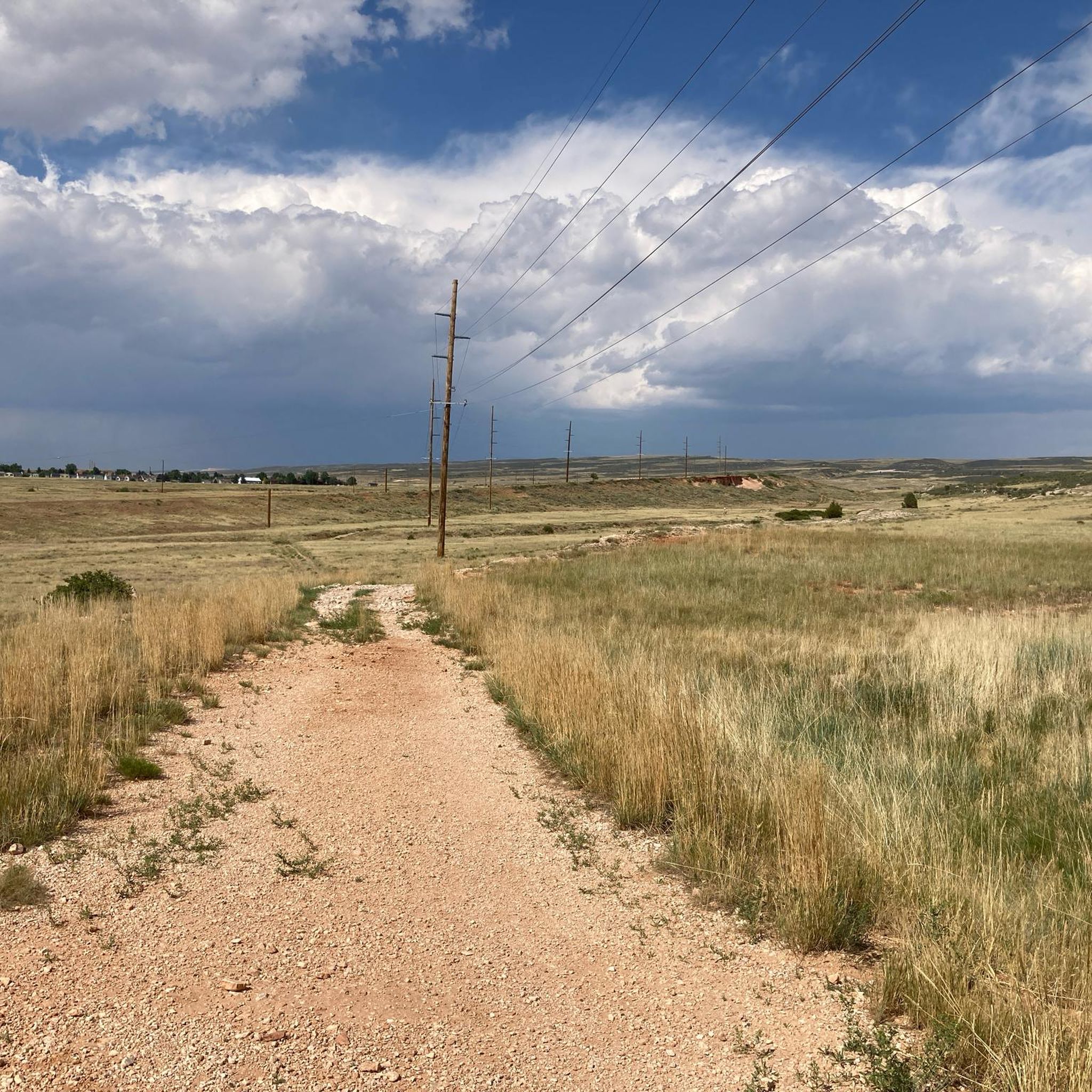
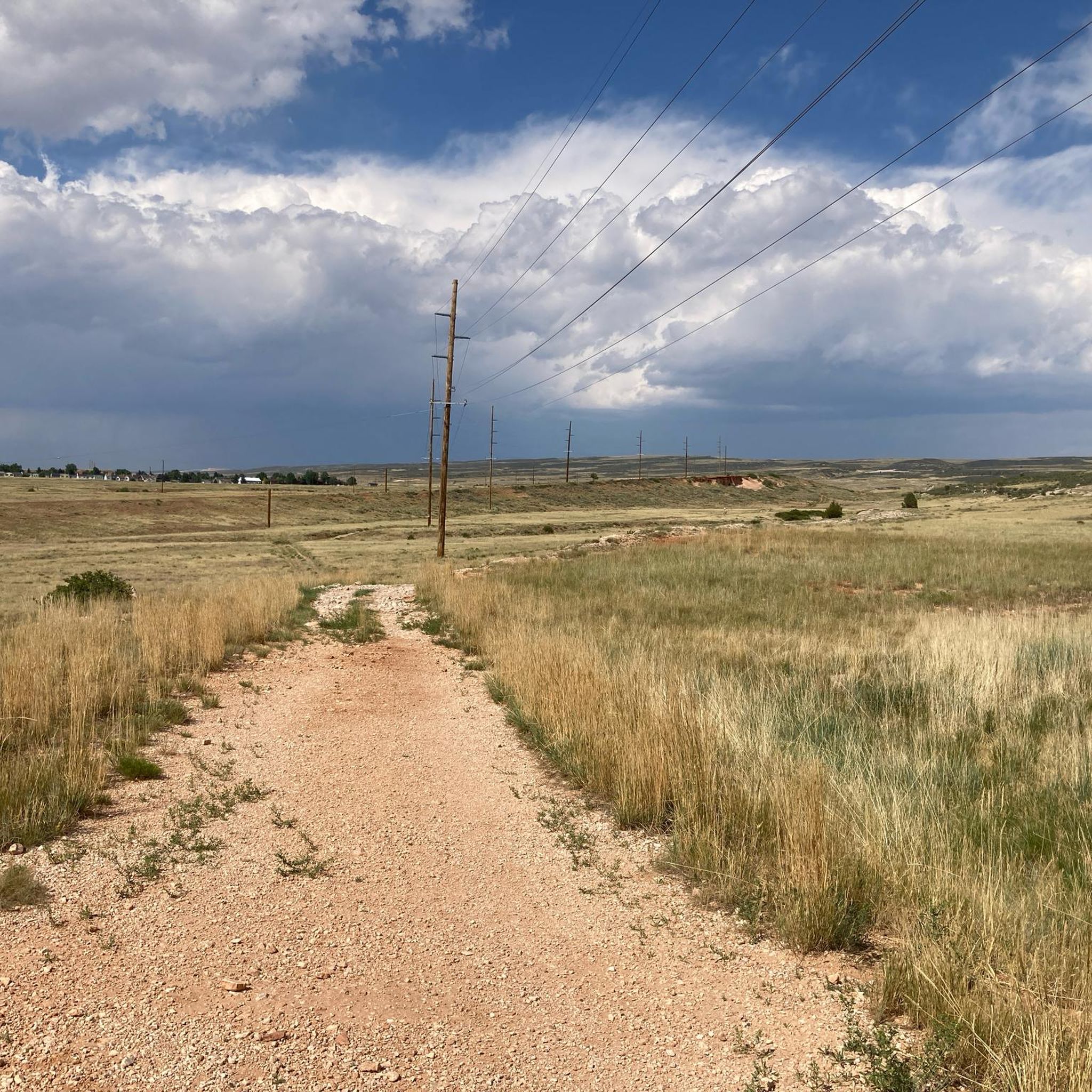
The Laramie to Roger Canyon Road offers a delightful road cycling experience through the high-altitude Wyoming plains. You'll encounter open terrain, gentle hills, and unique geological features like red hills and sagebrush, with the route eventually leading towards the dramatic bends of Roger Canyon. From certain points, you can even catch a panoramic view of Laramie itself, making for a scenic and engaging ride.
This easy route covers 19.3 miles (31.0 km) with a manageable 686 feet (209 metres) of elevation gain, typically taking around 1 hour and 18 minutes. It's an excellent choice for cyclists of all abilities, providing a well-paved surface and accessibility directly from Laramie. Always check the weather, as Laramie's 7,220-foot elevation can bring quick changes.
Beyond its scenic appeal, this route is one of the most popular cycling trails in the Laramie area, known for its uncrowded feel and dramatic skies. The road itself leads to Roger Canyon, a limestone canyon famous among climbers, adding a layer of local interest to your journey through this historically rich region.
3
riders
129km
06:35
2,280m
2,280m
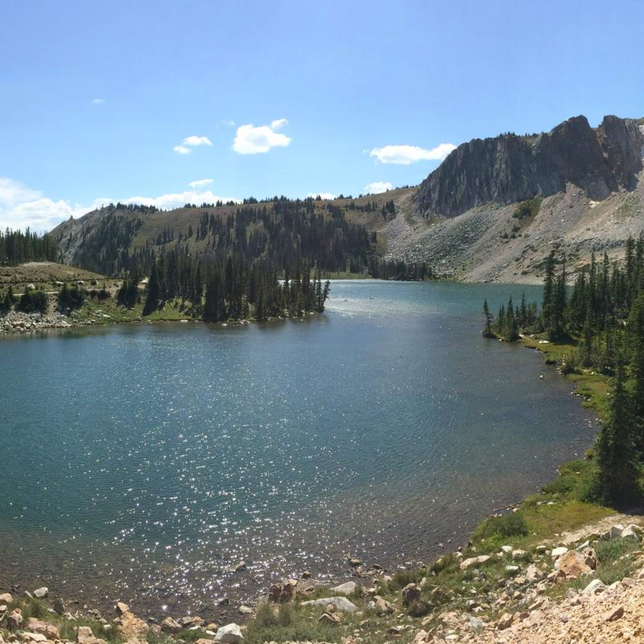
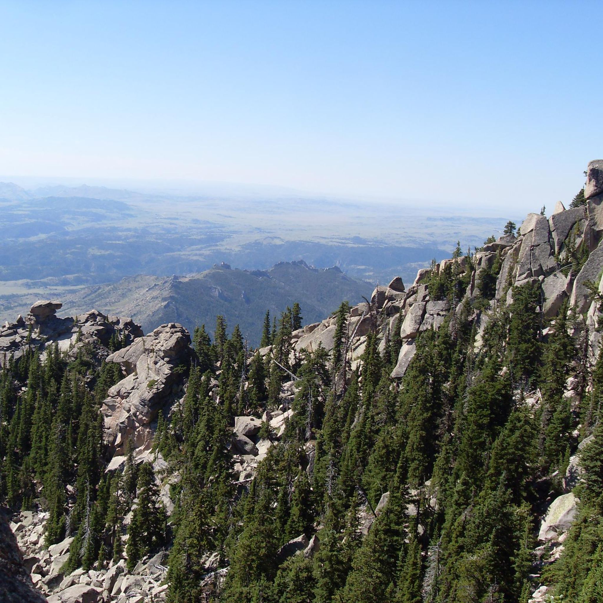
Embark on a truly memorable road cycling journey along the Snowy Range Road, a difficult 80.1-mile (128.9 km) route that carves its way through the majestic Snowy Range Mountains. You'll experience a dramatic landscape shift, climbing from the treeless plains near Centennial into dense forests, past pristine high alpine lakes like Lake Marie, and eventually reaching panoramic viewpoints at Libby Flats. With a substantial 7486 feet (2282 metres) of elevation gain and an estimated duration of 6 hours and 35 minutes, this ride is a serious test of endurance, offering incredible scenery for those with good to very good fitness.
Planning your ride on this iconic route requires attention to the seasons. The highest sections of the road are typically closed from November until late May or early June due to heavy snow, often reopening around Memorial Day weekend. Strong winds are common, particularly in the more exposed areas, so be prepared for variable conditions. Always check the latest road status before heading out to ensure a safe and enjoyable experience.
Known as the Snowy Range Scenic Byway, this route is celebrated for its exceptional beauty and status as Wyoming's second-highest mountain pass. Beyond the challenging cycling, the area offers opportunities for wildlife viewing, with elk, deer, and moose often spotted in the mountain meadows. The road itself has a rich history, originally serving as a wagon route in the 1870s before being paved in the 1930s, adding a layer of historical significance to your high-country adventure.

Sign up for free
3
riders
26.3km
01:17
110m
110m
The Downtown Laramie loop offers a delightful blend of urban exploration and natural scenery, making it one of the most popular bike trails Laramie has to offer. You'll pedal past historic storefronts and 32 hand-painted murals in the vibrant downtown area, then transition to the peaceful Laramie Greenbelt Trail, which hugs the Laramie River. The route is entirely on well-paved surfaces, providing a smooth and enjoyable experience for all.
This easy road cycling route is a manageable 16.3 miles (26.3 km) with only 377 feet (115 metres) of elevation gain, typically taking about 1 hour and 17 minutes. It's an ideal choice for families or anyone seeking a relaxed ride without significant physical demands. You can easily find parking in the downtown area, and the circular nature of the loop means you finish right where you started.
What sets this route apart is its seamless integration of Laramie's cultural heart with its natural surroundings. You'll get glimpses of the University of Wyoming and distant mountain vistas, all while enjoying the convenience of a fully paved path. It's a fantastic way to experience the city's charm and riverine landscape in one go.
2
riders
161km
07:13
1,630m
1,630m
The Laramie to Cheyenne century ride offers a sweeping tour across Wyoming's high plains, connecting two major cities with a challenging road cycling experience. You'll navigate rolling terrain, passing by scenic points like Curt Gowdy State Park and the Happy Jack Recreation Area, all while soaking in vast, open landscapes. The route culminates near the Wyoming State Capitol in Cheyenne, providing a sense of accomplishment after a long day in the saddle.
This difficult 100.3-mile (161.3 km) ride, with its 5364 feet (1635 metres) of elevation gain, is a serious undertaking, typically requiring around 7 hours and 12 minutes to complete. Cyclists should be prepared for significant climbs, including one stretch of 8.8 miles with a 1,447-foot gain. It's vital to have very good fitness and be aware that some sections of Happy Jack Road can be narrow, and riding on Interstate 80 is not advised due to heavy truck traffic.
This century ride is a testament to Wyoming's growing appeal for cyclists, forming part of a region actively expanding its trail systems. The route highlights the unique blend of natural beauty and historical landmarks found between Laramie and Cheyenne, making it a notable achievement for any dedicated road cyclist.
1
riders
65.4km
02:59
60m
60m
Experience the vast, open beauty of Wyoming's high plains on the Laramie to Plains Lakes road cycling route. This moderate 40.6-mile (65.4 km) ride offers a smooth journey across well-paved surfaces, showcasing the unique high-altitude landscape. You'll enjoy picturesque views, including the expansive Lake Hattie Reservoir, making it a rewarding ride for those seeking scenic, open-road cycling.
Planning your ride is straightforward, though it's wise to consider the season. Spring is generally the best time for road cycling in Laramie to avoid winter conditions like snow and gravel. Always carry sufficient water, as amenities are limited once you're out on the plains. Parking is typically available in Laramie, where the route begins.
This route is a great way to explore the Laramie area's road cycling potential, moving beyond its reputation as a mountain biking hub. It's particularly notable for its representation of the unique Wyoming plains environment, offering a different perspective on the region's diverse landscapes. The minimal 192 feet (59 metres) of elevation gain over an estimated 2 hours and 58 minutes makes it accessible for many.
14.4km
00:55
370m
370m
The Barber Lake Road and Snowy Range Road loop offers a truly memorable road cycling experience, rated moderate, covering 9.0 miles (14.4 km) with 1226 feet (374 metres) of elevation gain, typically completed in about 54 minutes. You'll climb through thick forests, eventually breaking out above the treeline to reveal dramatic granite peaks and alpine lakes like Lake Marie. The route combines the less-trafficked Barber Lake Road with the challenging climbs of the Snowy Range Road, providing diverse terrain and breathtaking views for cyclists exploring the Snowy Range Mountains Wyoming.
Planning your visit requires attention to the calendar, as the high-elevation sections of Snowy Range Road are closed by snow for much of the year. This scenic byway usually opens from late May or Memorial Day weekend through October. Given the significant elevation gain and high altitude, ensure you're prepared for changing weather conditions and bring plenty of water. Parking is generally available near the start in Centennial, making it a convenient access point for this popular route.
This loop is notable for traversing the second-highest mountain pass in Wyoming, offering a unique perspective on the Medicine Bow National Forest. Beyond the stunning vistas, the area is home to diverse wildlife, including elk, deer, moose, and marmots, so keep an eye out. In spring and early summer, wildflowers carpet the landscape, while autumn brings spectacular colors from the aspen trees, making the best time of year to cycle Barber Lake Road Snowy Range Road a matter of personal preference for scenery.
9
riders
47.2km
02:40
1,000m
1,000m
Hard road ride. Very good fitness required. Some segments of this route may be unpaved and difficult to ride.
6
riders
21.2km
00:53
80m
80m
Easy road ride. Great for any fitness level. Mostly well-paved surfaces and easy to ride.
Our route recommendations are based on thousands of hikes, rides, and runs completed by other people on komoot.
Start today with a free account
Your next adventure awaits.
Login or Signup
Tips from the Community

Amazing pass! But be cautious about elevation sickness. The pass is at 3306 meters, and symptoms of elevation sickness usually become noticeable at around 2800 meters.
0
0

St. Matthew's Episcopal Church is a notable landmark in Laramie, and a great photo opportunity. Construction for the church began back in 1892.
0
0
The Laramie River Greenway follows the Laramie River, so bikers can enjoy being near the water. The Laramie River begins in Colorado, near Rocky Mountain National Park, and runs north-northwest to Wyoming, through Laramie, and into the North Platte.
0
0
The University of Wyoming sits at an elevation of 7,220 feet above sea level, making it one of the highest-altitude universities in the United States, mostly rivaling Colorado schools. The mascot is "Pistol Pete", very fitting with Wyoming's cowboy and railroad history. The most notable thing about this school is that the student-to-faculty ratio is about 15:1, and the school spans over 785 acres.
0
0
LaBonte Park is great for all ages and has barbecue grills, a basketball court, a community garden, and a fitness course. Enjoy picnic tables, a playground, restrooms, a skate park, softball fields, and a walking/jogging path. This park also features soccer fields, picnic shelters, and a large lake. It is a great place to start a ride and make sure you have water and everything you need for your adventure.
0
0
The town of Laramie is in a relatively flat area, but this part of Roger Canyon Road takes riders just up enough of an incline to look south and see a nice view of this small town. As of 2022, this area had a population of about 32,035 people and spanned about 18.38 square miles.
0
0
Rogers Canyon Road is a scenic ride through the planes and parries of Wyoming, with gentle up-and-down hills. Today, this area is popular with climbers and has lots of BLM. There is a lot of history in this area too, like railroad history and wagon trails that traveled over these great plains.
0
0
The Wyoming Territorial Prison, built in 1872 near Laramie, is one of the county's oldest buildings. It was a federal penitentiary from 1872 to 1890 and then a state prison from 1890 to 1901. Now a museum, visitors can walk the halls where prisoners stayed. It is listed on the National Register of Historic Places.
0
0
Frequently Asked Questions
What types of terrain can I expect on road cycling routes in Albany County?
Albany County offers a diverse range of terrain for road cyclists. You'll find scenic riverside paths, extensive multi-use trails (many paved), and quieter country roads with rolling hills. The Albany County Helderberg-Hudson Rail Trail and the Mohawk-Hudson Bike-Hike Trail provide mostly flat, well-maintained surfaces, while areas around the Helderberg Escarpment offer more challenging rides with significant elevation gains.
Are there any long-distance road cycling routes in Albany County?
Yes, Albany County connects to several long-distance cycling networks. The Mohawk-Hudson Bike-Hike Trail is part of the larger Empire State Trail, and the Albany-Hudson Electric Trail extends 36 miles south from Albany to Hudson. Routes like the 79.9-mile Snowy Range Road also offer significant distances and elevation changes for experienced riders.
Where can I find family-friendly road cycling trails in Albany County?
For family-friendly rides, consider the paved rail trails. The Albany County Helderberg-Hudson Rail Trail is 9.8 miles of paved surface, suitable for all ages. The Mohawk-Hudson Bike-Hike Trail also offers many flat, well-maintained sections. Additionally, The Crossings of Colonie park features 6.5 miles of multi-use trails perfect for leisurely rides.
What are some scenic viewpoints or natural features along the road cycling routes?
Cyclists can enjoy scenic views of the Hudson and Mohawk Rivers along the Mohawk-Hudson Bike-Hike Trail. The Albany Pine Bush Preserve offers unique landscapes of pine barrens and grasslands. For breathtaking panoramic views of the Hudson-Mohawk Valleys, the Adirondack, Catskill, and Green Mountains, the roads around John Boyd Thacher State Park and the Helderberg Escarpment are ideal. You can also find natural highlights like Lookout Lake and the Libby Flats Observation Point in the broader Albany County area.
Are there any challenging road cycling routes with significant climbs in Albany County?
Yes, for those seeking a challenge, the Helderberg Escarpment area near John Boyd Thacher State Park provides opportunities for road cycling with significant elevation gains. The 79.9-mile Snowy Range Road route, for example, features an ascent of over 7,400 feet, making it a difficult and rewarding ride.
What kind of parking facilities are available at trailheads in Albany County?
Many popular trailheads and parks in Albany County offer dedicated parking. For instance, access points to the Mohawk-Hudson Bike-Hike Trail, such as Corning Preserve in downtown Albany, typically have parking available. The Albany County Helderberg-Hudson Rail Trail also has various access points with parking along its length.
Can I access road cycling trails in Albany County using public transport?
Public transport options to trailheads can vary. For routes within the city of Albany or easily accessible areas, local bus services might provide access. For example, the South Pearl Street entrance to the Albany County Helderberg-Hudson Rail Trail is within the city. It's advisable to check local transit schedules and routes for specific trail access points.
Are there any specific rules for dog-friendly cycling on Albany County trails?
While many multi-use trails are generally dog-friendly, specific rules regarding leashes and waste disposal apply. Always ensure your dog is on a leash and that you clean up after them. It's recommended to check the specific regulations for each trail or park you plan to visit, such as the Albany County Helderberg-Hudson Rail Trail or the Mohawk-Hudson Bike-Hike Trail, as rules can vary.
What are some good options for circular road cycling routes in Albany County?
Albany County offers several loop options for road cyclists. The Downtown Laramie loop is a 16.3-mile route that takes you through varied urban and natural landscapes. The Crossings of Colonie park also features 6.5 miles of multi-use trails that can be combined for circular rides. For a more challenging loop, consider the Barber Lake Road and Snowy Range Road loop.
Are there places to rent bikes in Albany County?
Yes, bike rental stations are available in Albany County, making cycling accessible even if you don't have your own equipment. For example, CDPHP Cycle! offers bike rentals, and stations can be found at locations like the South Pearl Street entrance to the Albany County Helderberg-Hudson Rail Trail.
What is the best time of year for road cycling in Albany County?
The best time for road cycling in Albany County is typically from spring through fall, when the weather is mild and trails are clear of snow and ice. Summer offers warm temperatures, while spring and fall provide cooler rides and beautiful foliage. Always check local weather conditions before heading out, especially during shoulder seasons.
What kind of natural preserves can I explore by road bike in Albany County?
Albany County is home to unique natural preserves. The Albany Pine Bush Preserve, a globally rare inland pine barrens ecosystem, has designated paved routes in its surrounding area. While some trails within the preserve are sandy, the general terrain is flat with gradual slopes. The Crossings of Colonie and Ann Lee Pond Nature and Historic Preserve also offer multi-use trails suitable for leisurely rides through meadows, wetlands, and woods.
Most popular attractions in Albany County

Get inspired with the komoot mobile app


Didn’t find what you were looking for?
Check out more Road cycling routes throughout Albany County below and find the perfect route in your destination.
Explore more
Browse the best Road cycling routes in other regions.
