The best walks and hikes around Østre Fyllingen
4.5
(220)
1,767
hikers
44
hikes
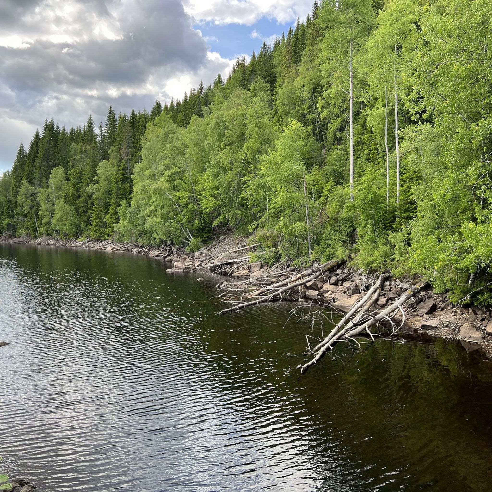
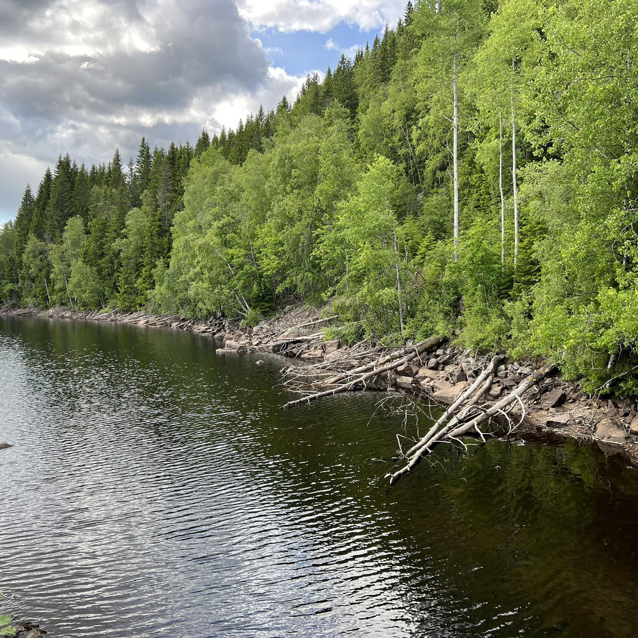
Hiking trails around Østre Fyllingen, a lake situated at 350 meters above sea level in Nordmarka, Oslo, offer diverse landscapes for outdoor enthusiasts. The area is characterized by forests, varied terrain, and interconnected waterways, including Østre Fyllingen itself and the Fyllingselva river. Marshes along the southern part of the lake add ecological diversity, while the western side features small headlands. This moderate elevation provides accessible hiking for various abilities within a typical Norwegian forest environment.
Best hiking trails around Østre…
Last updated: July 10, 2026
5.0
(2)
8
hikers
Moderate hike. Good fitness required. Easily-accessible paths. Suitable for all skill levels.
1
hikers
5.07km
01:31
150m
150m
Easy hike. Great for any fitness level. Easily-accessible paths. Suitable for all skill levels.

Sign up for free
3.0
(1)
103
hikers
9.43km
02:48
280m
280m
Moderate hike. Good fitness required. Easily-accessible paths. Suitable for all skill levels.
5.0
(1)
17
hikers
20.4km
05:50
480m
480m
Hard hike. Very good fitness required. Easily-accessible paths. Suitable for all skill levels.
16
hikers
6.58km
01:56
200m
200m
Easy hike. Great for any fitness level. Easily-accessible paths. Suitable for all skill levels.
Get access to more routes and recommendations from other explorers.
Sign up for free
Already have an account?
Our route recommendations are based on thousands of hikes, rides, and runs completed by other people on komoot.
Start today with a free account
Your next adventure awaits.
Login or Signup

Tips from the Community

Friendly staff, good food, just a very nice place to rest after a ride. Includes a splash in the lake or sauna inhouse. Staying a night or two makes totally sense since Nordmarka is an endless gravel paradise
0
0

Well-known and very nice sports hall in Nordmarka
0
0

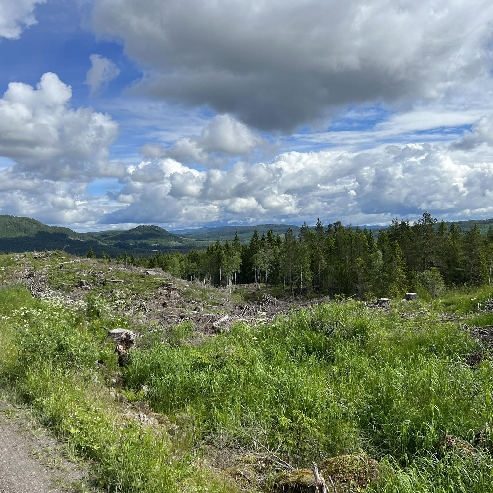
Enjoy the view of the forests and rolling hills from here.
0
0


If the café is closed, there is usually coffee and buns for sale in the self-service room to the right of the entrance.
0
0

a place with a beautiful landscape where we find a corner to eat and sleep.
0
0
Frequently Asked Questions
How many hiking trails are available around Østre Fyllingen?
There are over 40 hiking trails around Østre Fyllingen, offering a wide range of options for different skill levels and preferences. You'll find everything from easy strolls to more challenging, longer treks through the Nordmarka landscape.
What are the difficulty levels of the hiking trails in Østre Fyllingen?
The trails around Østre Fyllingen cater to various abilities. You'll find 9 easy routes, 28 moderate routes, and 5 more difficult trails, ensuring there's a suitable option whether you're looking for a leisurely walk or a strenuous hike.
Are there family-friendly hiking options around Østre Fyllingen?
Yes, there are several family-friendly options. Many of the easy trails are suitable for families. For example, the Kobberhaughytta – Fire Pit at Kopperhaugene loop from Blankvann landskapsvernområde is an easy 4.8 km loop that takes about 1 hour 26 minutes, perfect for a pleasant outing with children.
Are dogs allowed on the hiking trails around Østre Fyllingen?
Generally, dogs are welcome on trails in Nordmarka, including those around Østre Fyllingen. However, it's important to keep dogs on a leash, especially during nesting seasons and to protect local wildlife. Always ensure your dog is under control and clean up after them.
What kind of natural features or landmarks can I expect to see while hiking here?
The area is rich in natural beauty and history. You'll encounter the picturesque Østre Fyllingen lake itself, interconnected waterways, and diverse forest terrain. Keep an eye out for marshes along the southern part of the lake and small headlands on the western side. The historic Fyllingen farmstead, one of Nordmarka's oldest settlements dating back to the 17th century, is also located at the northern end of the lake.
Are there any circular hiking routes available?
Yes, many of the trails around Østre Fyllingen are designed as loops, allowing you to start and end at the same point. A popular moderate option is the Kobberhaughytta loop from Sørkedalen, which is 9.4 km long and takes around 2 hours 47 minutes.
What is the best season for hiking around Østre Fyllingen?
The best season for hiking is typically from spring through autumn (May to October), when the weather is milder and the trails are clear of snow. During these months, you can fully enjoy the lush forests and lakeside views. Winter also offers opportunities for skiing, with many trails doubling as ski paths.
How can I get to the hiking trails around Østre Fyllingen by public transport or car?
Østre Fyllingen is located within Nordmarka, which is accessible from Oslo. For public transport, you can often take a bus to areas like Sørkedalen, which serves as a common starting point for many trails. If driving, there are usually designated parking areas near popular trailheads in Sørkedalen, but it's advisable to check local regulations and availability, especially during peak times.
What do other hikers say about the trails around Østre Fyllingen?
The trails around Østre Fyllingen are highly regarded by the komoot community, with an average rating of 4.4 out of 5 stars from over 190 reviews. Hikers often praise the tranquil environment, the varied terrain, and the beautiful lake and forest scenery that make for a rewarding outdoor experience.
Are there any places to eat or stay near Østre Fyllingen?
While Østre Fyllingen itself is a natural area, Nordmarka has several cabins and lodges. Kikutstua, for example, is a well-known cabin that offers refreshments and sometimes accommodation, and can be reached via trails like the Kikutstua – Kikutstua Café loop from Sørkedalen. For more extensive options, the Sørkedalen area or Oslo itself would provide a wider range of cafes, pubs, and accommodation.
Can I go fishing in Østre Fyllingen?
Yes, both Østre and Vestre Fyllingen are known for stable populations of trout and perch, making them popular spots for fishing. The marshes along the southern part of Østre Fyllingen and the western side's headlands are particularly good areas for fly fishing. Remember to check local fishing regulations and acquire any necessary permits.
What is the elevation of the area around Østre Fyllingen?
Østre Fyllingen is situated at approximately 350 meters above sea level. This moderate elevation contributes to a varied terrain with some ascents and descents, providing a good workout without being overly strenuous for most hikers.
Most popular routes around Østre Fyllingen

Get inspired with the komoot mobile app


Explore more
Browse the best Hikes in other regions.
