The best road cycling routes in Allegheny County
4.5
(90)
4,356
riders
304
rides
Road cycling in Allegheny County features an extensive network of multi-use trails, many of which are converted rail-trails offering relatively flat and well-maintained surfaces. The region is characterized by its three major rivers—the Allegheny, Monongahela, and Ohio—and numerous county parks that provide diverse terrain. Cyclists can find routes along riverfronts, through urban areas, and into natural landscapes with varying elevation gains.
Best road cycling routes in Allegheny County
- The most popular road cycling route is Great Allegheny Passage, a 38.1 miles (61.2 km) trail that takes 2 hours 56 minutes to complete. This iconic route offers diverse urban and natural landscapes with river views and historical landmarks.
- Another top favourite among local road cyclists is Panhandle Trail, a moderate 52.7 miles (84.8 km) path. This rail-trail winds through varying terrain, including bridges and former rail tunnels.
- Local road cyclists also love the Three Rivers Heritage Trail Loop, a 11.5 miles (18.5 km) trail leading through riverfront areas and city landmarks, often completed in about 1 hour 7 minutes.
- Road cycling in Allegheny County is defined by its extensive rail-trail network, scenic riverfronts, and numerous county parks. The network offers options for different ability levels, from easy loops to more challenging routes with greater elevation.
- The routes in Allegheny County are highly rated by the komoot community with an average score of 4.4 stars from over 70 reviews. More than 3,900 road cyclists have used komoot to explore Allegheny County's varied terrain.
Last updated: July 21, 2026
5.0
(2)
228
riders
61.2km
02:56
340m
340m
This section of the Great Allegheny Passage offers a delightful ride through the Monongahela River valley, showcasing a blend of natural beauty and industrial heritage. You'll glide along a smooth, packed crushed limestone surface, occasionally transitioning to paved sections, as the route winds past historical markers like the McKeesport Connecting Railroad Bridge. The scenery is consistently engaging, with river views, lush forests, and remnants of the region's past, providing a rich backdrop for your journey.
Planning your ride on this moderate 38.1-mile (61.2 km) route, which typically takes around 2 hours and 56 minutes with 1110 feet (338 metres) of elevation gain, is straightforward. The trail is easily accessible, and while the surface is generally excellent, tires of 28mm or wider are recommended for optimal comfort, especially if the trail is damp. Numerous trail towns along the GAP provide convenient amenities, making it easy to find refreshments or take a break.
What makes the Great Allegheny Passage truly special is its heritage as a converted rail trail, ensuring a remarkably gentle grade that's perfect for casual cycling. This route is part of a much larger network, connecting to the C&O Canal Towpath for those dreaming of a multi-day adventure to Washington, D.C. It's a fantastic way to experience a piece of American history and enjoy the outdoors without strenuous climbs.
88
riders
84.8km
03:32
500m
500m
The Panhandle Trail offers a moderate road cycling experience, covering 52.7 miles (84.8 km) with a total elevation gain of 1657 feet (505 metres). You can expect to complete this route in about 3 hours and 32 minutes. As you cycle, you'll pass through diverse scenery, including hardwood forests, open farmland, and alongside creeks like Harmon Creek and Robinson Run. Keep an eye out for decorative birdhouses and memorials, especially as you approach Walkers Mill, adding unique visual interest to your ride.
When planning your visit, be aware that while much of the Panhandle Trail is paved, certain sections require consideration for your bike setup. Specifically, the eastern end from Walkers Mill and the portion extending into West Virginia are composed of crushed limestone or gravel. If you plan to ride these unpaved parts, you might find wider or knobbier tires more comfortable than narrow slick tires, ensuring a smoother journey.
This route is a rail-trail, meaning it follows a former railway line, which often translates to a relatively gentle grade and accessible cycling. The trail is particularly known for its beautiful fall foliage, making autumn an especially scenic time to visit. You'll also cross many bridges over waterways, providing pleasant views and a consistent connection to the natural landscape.

Sign up for free
4.7
(3)
29
riders
18.6km
01:07
70m
70m
The Three Rivers Heritage Trail Loop offers a fantastic way to experience Pittsburgh's unique urban landscape from the saddle of your bike. This easy road cycling route winds along the city's iconic waterways, providing continuous riverfront views of the Allegheny, Monongahela, and Ohio rivers. You'll cycle past a blend of modern architecture and historical sites, including the striking Andy Warhol Bridge and the expansive Point State Park, where the three rivers converge, making for a truly picturesque journey.
Planning your ride on this trail is straightforward, as it features numerous access points with convenient parking. The route is predominantly flat and paved, making it an excellent option for accessible cycling and beginner road cycling routes. You'll find plenty of amenities, such as cafes and shops, in vibrant districts like the North Shore and the South Side Works, perfect for a mid-ride break or a post-ride refreshment.
This 11.5-mile (18.6 km) loop, with a minimal 216 feet (66 metres) of elevation gain, typically takes just over 1 hour and 7 minutes to complete, making it a quick and rewarding outing. The trail is a crucial part of the larger Great Allegheny Passage, connecting you to a vast network of trails, and it offers a unique perspective on Pittsburgh's rich industrial and cultural heritage, with interpretative signage along the way.
2.0
(2)
17
riders
44.0km
02:13
420m
420m
Embark on a moderate racebike journey along the Three Rivers Heritage Trail Loop, a 27.4 miles (44.0 km) route that takes about 2 hours and 12 minutes to complete. You'll gain 1364 feet (416 metres) as you cycle past Pittsburgh's iconic skyline, with particularly striking views from the West End Bridge. The trail offers a dynamic experience, blending urban scenery with natural riverfront stretches along the Allegheny, Monongahela, and Ohio Rivers. Keep an eye out for local wildlife, including bald eagles, as you ride.
When planning your visit, know that the route is generally busy and safe during the day. You should still be aware of your surroundings, especially near certain bridges on the North Side or if you choose to ride after dark. The trail provides numerous access points and amenities along its length, making it convenient to start your adventure. You will find plenty of places to eat in areas like the Southside and The Strip District, and parking is available at various points along the route.
This loop is a fantastic way to explore Pittsburgh's vibrant riverfronts, offering diverse and engaging scenery throughout your ride. You will pass by cultural venues, downtown areas, and historic landmarks, providing a rich backdrop to your cycling experience. The trail uniquely combines urban landscapes with greener areas, ensuring a varied visual journey that highlights the city's connection to its three major rivers.
3.5
(2)
9
riders
79.8km
03:36
720m
720m
The Three Rivers Heritage Trail and Sewickley Loop offers a dynamic road cycling experience, transitioning from the flat, paved urban paths along Pittsburgh's rivers to the rolling, wooded hills of the Sewickley area. You'll enjoy panoramic city views and landmarks like Point State Park before tackling the more challenging ascents and descents through scenic landscapes of expansive fields and mature oak groves. This moderate 49.6-mile (79.8 km) route, with 2373 feet (723 metres) of elevation gain, is a rewarding journey for cyclists seeking variety.
Planning your ride means being ready for two distinct sections. The Three Rivers Heritage Trail is generally flat and accessible, connecting to public transport in Pittsburgh. However, the Sewickley portion demands good fitness due to its consistent rolling hills. Allow approximately 3 hours and 35 minutes for the full loop, and ensure you carry enough water, especially when tackling the more strenuous Sewickley climbs.
This route uniquely combines a signature Pittsburgh trail system with the diverse road cycling opportunities of the Sewickley area. The Three Rivers Heritage Trail seamlessly connects to the Great Allegheny Passage, while the Sewickley region is known for its varied topography and connections to other extensive trail systems like sections of the Montour Trail. It's a fantastic way to experience both urban riverfronts and the natural beauty of Western Pennsylvania's varied landscapes.
12
riders
37.9km
01:49
330m
330m
Embark on a moderate road cycling adventure combining Pittsburgh's urban riverfronts with the green expanses of Highland Park. This 23.5-mile (37.9 km) loop offers diverse scenery, from cityscapes along the Three Rivers Heritage Trail, passing landmarks like the iconic Hot Metal Bridge, to the tranquil, landscaped beauty of Highland Park. You will gain 1073 feet (327 metres) of elevation, typically completed in about 1 hour and 48 minutes at a steady pace.
For your visit, parking is generally available near the starting point in Pittsburgh. While much of the Three Rivers Heritage Trail is traffic-free, be aware that some sections do share space with vehicles. Once you reach Highland Park, you will find dedicated bike lanes and car-free loops, providing a safer and more relaxed cycling environment.
This route stands out for its unique blend of experiences, allowing you to transition seamlessly from historical riverfront paths to the varied cycling options within a large urban park. It offers a chance to explore both the city's industrial heritage and its natural, cultivated spaces, including views of Reservoir #1, making it a comprehensive tour of Pittsburgh's cycling landscape.
11
riders
64.4km
03:30
580m
580m
Embark on the Great Allegheny Passage and Three Rivers Heritage Trail Loop, a moderate road cycling route spanning 40.0 miles (64.4 km). You will gain 1916 feet (584 metres) in elevation, with an estimated duration of 3 hours and 30 minutes. This route offers a dynamic experience, blending serene natural river views with the lively urban core of Pittsburgh, where you can spot landmarks like the historic Hot Metal Bridge.
When planning your ride, remember that the Three Rivers Heritage Trail sections are mostly paved or stone-dust, making them suitable for racebikes. Be aware of some on-road sections and occasional gaps within the trail that require your attention. The Great Allegheny Passage, however, is a well-maintained rail-trail, offering a consistently level grade for a smoother journey.
This loop is notable for its journey through diverse landscapes, from tranquil forests to significant industrial heritage sites. It provides a unique opportunity to explore Western Pennsylvania's natural beauty while also immersing yourself in Pittsburgh's vibrant city atmosphere. The combination of these distinct environments makes for a memorable cycling adventure.
4
riders
47.3km
03:05
710m
710m
Cycle the moderate 29.4-mile Three Rivers Heritage Trail Loop, enjoying Pittsburgh's skyline, bridges, and river views.
3.0
(1)
3
riders
25.1km
01:15
340m
340m
The Audubon Greenway Conservation Area 1 from Leetsdale loop offers a moderate road cycling experience through classic Western Pennsylvania scenery. You'll navigate rolling hills, passing through open fields and mature oak groves, and cycling alongside the beautiful headwaters of Little Sewickley Creek. This 15.6-mile (25.1 km) route, with its 1108 feet (338 metres) of elevation gain, provides a rewarding challenge for cyclists with a good fitness level, taking about 1 hour and 15 minutes to complete.
Planning your ride is straightforward, with the best seasons being spring, summer, and fall; autumn is particularly recommended for its vibrant foliage. The route is primarily well-paved, making it suitable for road bikes, though be aware that some sections may be unpaved and more challenging. Always check the weather before you go, as conditions can vary.
This conservation area plays a vital role in preserving a significant green space, protecting areas that were once slated for housing development and safeguarding the water quality of Little Sewickley Creek. It's a hub for outdoor activities, frequented by hikers, birdwatchers, and equestrians, and connects to a broader network of trails in adjacent parks like Sewickley Hills Borough and Sewickley Heights Borough parks.
1
riders
10.9km
00:37
170m
170m
Embark on an easy road cycling journey around North Park Lake, a 6.8 miles (10.9 km) route that offers a smooth ride on its paved path. You will gain 549 feet (167 metres) in elevation, completing the loop in about 36 minutes. Enjoy the expansive lake views and the peaceful atmosphere as you pedal.
Planning your ride is straightforward, with convenient parking and restroom facilities located along the route. The trail is entirely paved, making it ideal for your racebike, and you can easily access it from multiple points, including the Cumberland Road starting area. Consider an early morning start for a quieter experience.
This route circles North Park Lake, the largest lake in Allegheny County, offering a chance to spot diverse wildlife like Bald Eagles, Great Blue Herons, and beavers. You will also pass the historic Boathouse, built in 1936, adding a touch of local history to your ride.
Get access to more routes and recommendations from other explorers.
Sign up for free
Already have an account?
Our route recommendations are based on thousands of hikes, rides, and runs completed by other people on komoot.
Start today with a free account
Your next adventure awaits.
Login or Signup
Popular around Allegheny County
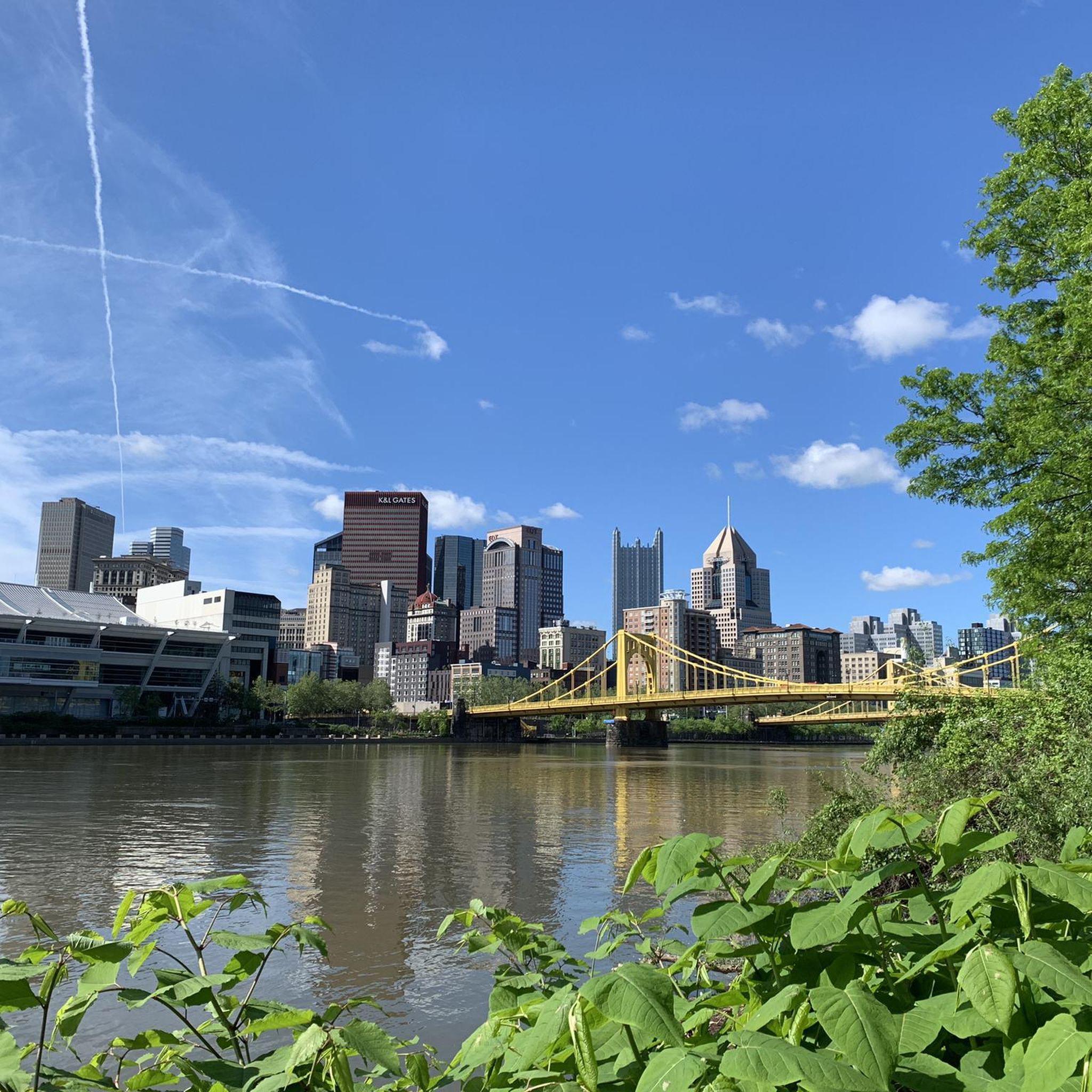
Road Cycling Routes around Pittsburgh

Road Cycling Routes around Glenshaw
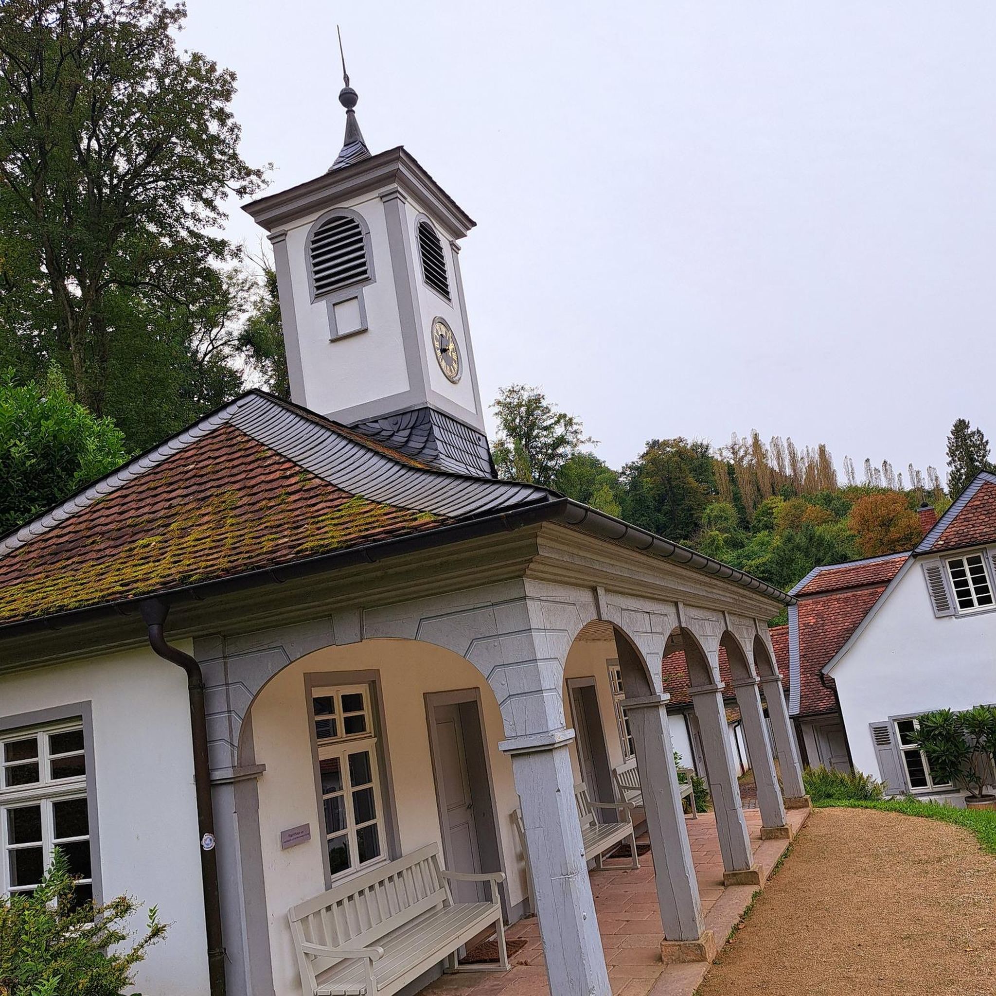
Road Cycling Routes around Sharpsburg

Road Cycling Routes around Oakmont

Road Cycling Routes around Fox Chapel

Road Cycling Routes around Aspinwall
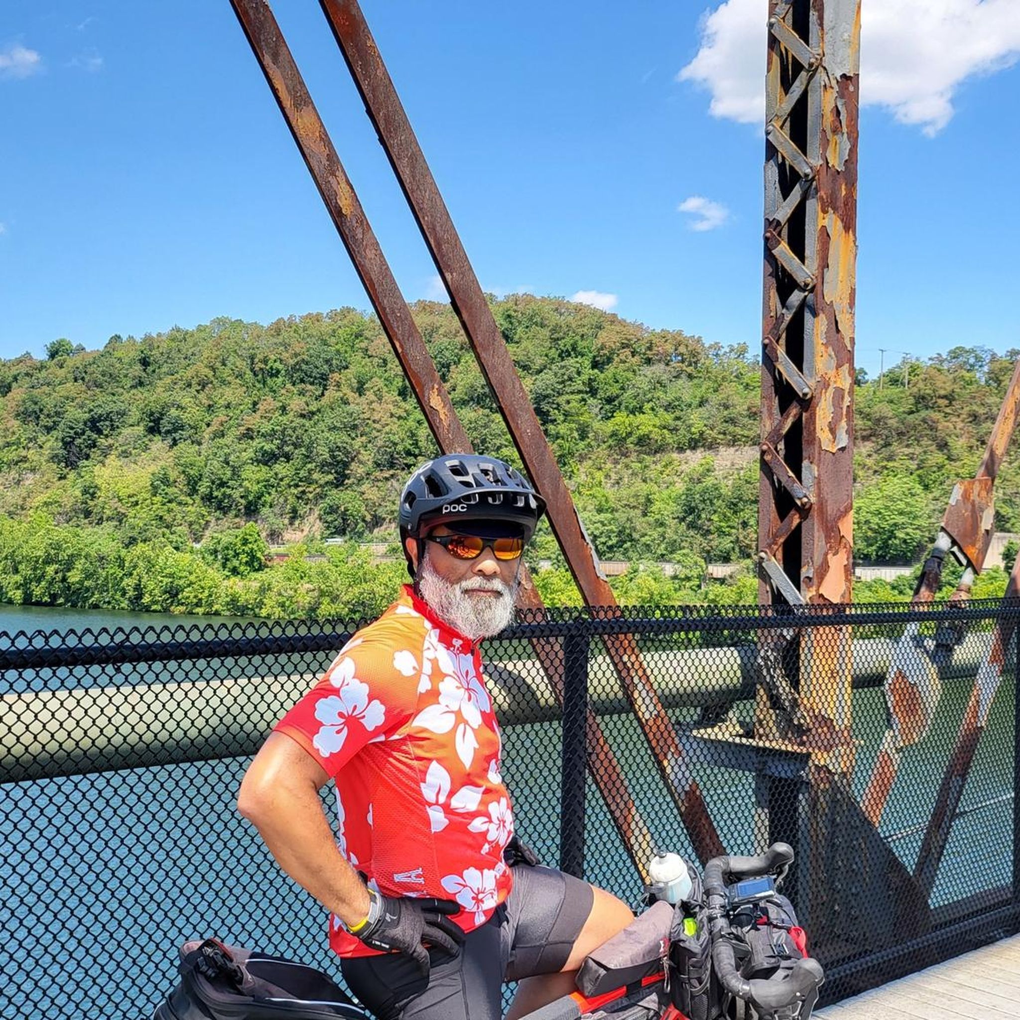
Road Cycling Routes around Duquesne
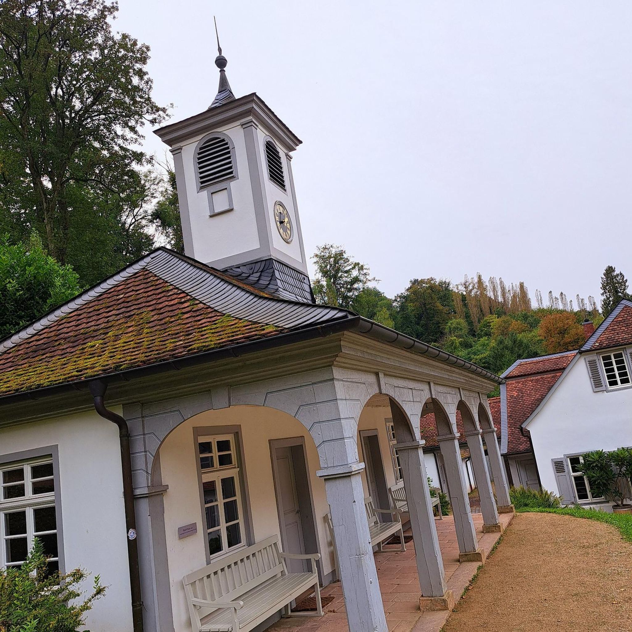
Road Cycling Routes around Etna

Road Cycling Routes around Verona

Road Cycling Routes around Jefferson Hills
Other adventures in Allegheny County


Tips from the Community

Color park is really pretty butt getting to it from the point is a little rough with the brick roads.
0
0

Great ride along the river with several places to pull off and enjoy the view.
0
0

The bridges of Pittsburgh are just magnificent
0
0

If You need water, don't count on public water fountains in Pittsburgh because they barely ever get turned on.
1
0
This is where the Allegheny River and the Monongahela River meat to form the Ohio River.
1
0

The Hot Metal Bridge is one of the most recognizable landmarks along the GAP. It crosses the Monongahela River and was an important bridge during the city's industrial heyday. Now, it is a great place to cross by bike and get a wonderful view of the city and river below.
1
0
Frequently Asked Questions
How many road cycling routes are available in Allegheny County?
Allegheny County offers a wide variety of road cycling routes, with over 290 tours available. These include options for all skill levels, from easy rides to more challenging routes. You'll find approximately 50 easy routes, nearly 200 moderate routes, and over 40 difficult routes to explore.
What are some scenic road cycling routes with good viewpoints?
For breathtaking views, consider routes that follow the riverfronts. The Great Allegheny Passage offers diverse urban and natural landscapes with extensive river views. The Three Rivers Heritage Trail Loop provides scenic riverfront views and access to city landmarks, including vistas of the Pittsburgh skyline. Beyond dedicated trails, areas like Mount Washington offer panoramic views of the city and its three rivers, and Harrison Hills Park features stunning overlooks above the Allegheny River.
Are there any waterfalls or natural monuments along the cycling routes?
Yes, Allegheny County features several natural attractions that can be incorporated into or found near cycling routes. You can find the picturesque Settler’s Cabin Waterfall within Settlers Cabin Park. Other notable waterfalls in the region include Red Waterfall and Rachel Carson Falls. The Great Allegheny Passage Trailhead at Point State Park is also a significant natural monument, marking the confluence of the three rivers.
Which road cycling routes are suitable for families or beginners?
Many of Allegheny County's rail-trails are ideal for families and beginners due to their relatively flat and well-maintained surfaces. The Three Rivers Heritage Trail Loop is an easy 11.5-mile (18.5 km) route along riverfronts, perfect for a relaxed ride. North Park also features a 5-mile clockwise loop around North Park Lake with a dedicated bike lane and minimal elevation gain, suitable for all fitness levels.
Are there any good loop routes for road cycling in Allegheny County?
Allegheny County offers several excellent loop routes. The Three Rivers Heritage Trail Loop is a popular choice, providing a scenic ride along the city's rivers. For a longer option, consider the Great Allegheny Passage and Three Rivers Heritage Trail Loop, which combines two iconic trails for an extended experience. North Park also has a dedicated 5-mile loop around its lake.
Where can I find parking for road cycling trails in Allegheny County?
Many of the major trailheads and county parks offer designated parking areas. For instance, the Great Allegheny Passage has various access points with parking along its length, including at Point State Park. County parks like North Park, South Park, and Settlers Cabin Park also provide ample parking for trail access. It's advisable to check specific trail access points for detailed parking information.
Can I access road cycling trails using public transport in Allegheny County?
Yes, several road cycling trails in Allegheny County, particularly those within Pittsburgh city limits, are accessible via public transport. The Three Rivers Heritage Trail, for example, runs through downtown Pittsburgh and other urban areas well-served by public transit. The Great Allegheny Passage also begins in downtown Pittsburgh, making it accessible. For specific routes, checking local public transport schedules and bike-on-bus/train policies is recommended.
What is the best time of year for road cycling in Allegheny County?
The spring, summer, and fall months generally offer the best conditions for road cycling in Allegheny County, with pleasant temperatures and vibrant scenery. Fall is particularly beautiful with the changing foliage. While some dedicated cyclists ride year-round, winter can bring snow and ice, making many trails less suitable for road biking. Always check local weather conditions before heading out.
Are there options for winter cycling in Allegheny County?
While many trails may be impacted by snow and ice in winter, some dedicated cyclists continue to ride. Paved multi-use trails that are regularly cleared, especially those within urban areas like parts of the Three Rivers Heritage Trail, might offer limited winter cycling opportunities. However, conditions can be challenging, and it's essential to prioritize safety, use appropriate gear, and check trail conditions beforehand.
Are there cafes or pubs near the road cycling trails?
Yes, many road cycling routes in Allegheny County, especially those passing through or near urban centers and towns, offer access to cafes, pubs, and other amenities. The Three Rivers Heritage Trail, winding through Pittsburgh, provides numerous options for refreshments. Sections of the Great Allegheny Passage also pass through charming towns with establishments catering to cyclists. The Montour Trail, as the country's longest suburban rail-trail, also has points of access to local businesses.
What do other cyclists say about road cycling in Allegheny County?
The road cycling experience in Allegheny County is highly regarded by the komoot community, with an average rating of 4.4 stars from over 70 reviews. Cyclists frequently praise the extensive network of well-maintained rail-trails, the scenic riverfront views, and the diverse terrain that caters to various skill levels. Many appreciate the blend of urban access and natural escape the region offers.
What are the longest road cycling routes in Allegheny County?
For longer rides, the Panhandle Trail is a significant option, covering 52.7 miles (84.8 km). The Great Allegheny Passage, while extending beyond Allegheny County, offers a substantial 38.1-mile (61.2 km) segment within the region, providing an iconic long-distance experience. Another extensive route is the Three Rivers Heritage Trail and Sewickley Loop, which spans nearly 50 miles (79.7 km).
Are there challenging routes for experienced road cyclists in Allegheny County?
While many routes are relatively flat rail-trails, Allegheny County also offers more challenging options for experienced road cyclists, with routes featuring greater elevation gains. The region has 43 routes classified as 'difficult' on komoot. For instance, the Three Rivers Heritage Trail and Sewickley Loop includes over 720 meters of elevation gain, providing a more demanding ride. Harrison Hills Park is also known for its challenging trails and rocky gorges, offering a different kind of challenge.
Most popular routes in Allegheny County
Most popular attractions in Allegheny County

Get inspired with the komoot mobile app


Didn’t find what you were looking for?
Check out more Road cycling routes throughout Allegheny County below and find the perfect route in your destination.
Explore more
Browse the best Road cycling routes in other regions.
