The best running trails in Golden Valley County
4
runners
7
runs
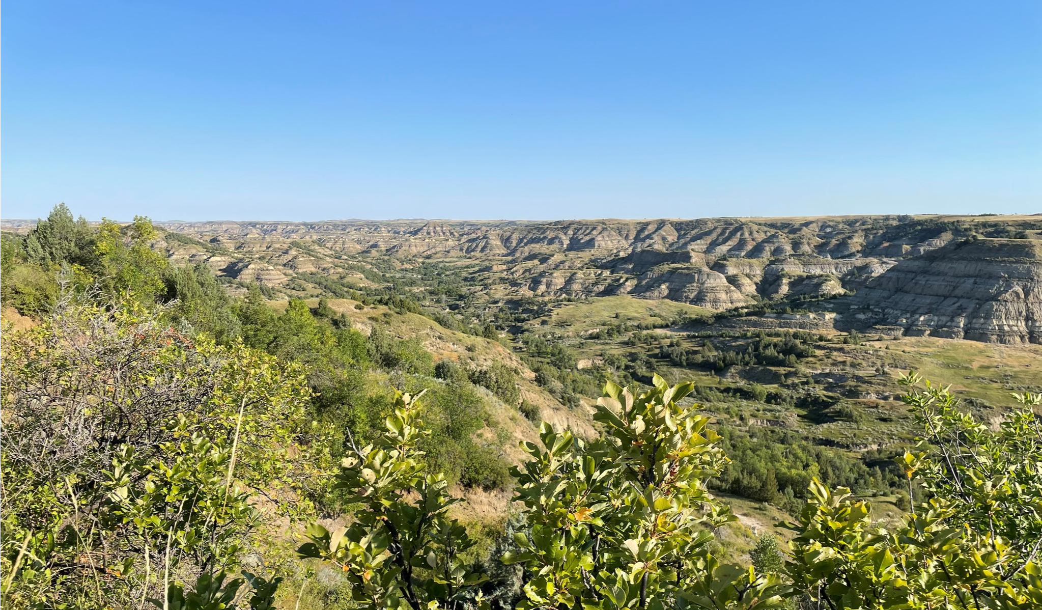
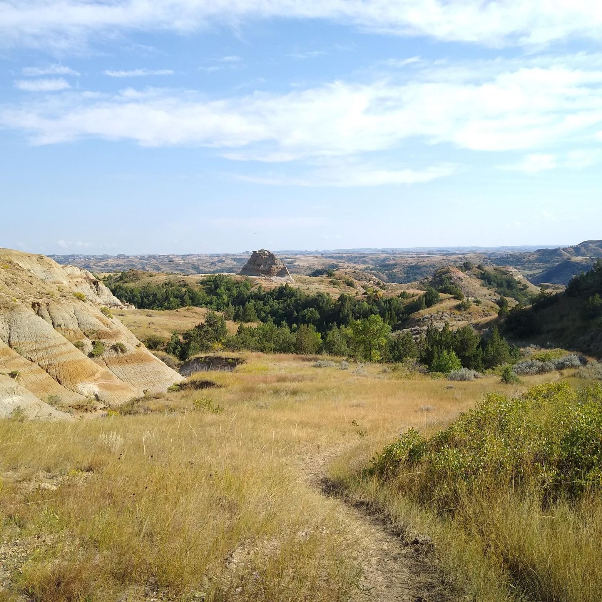
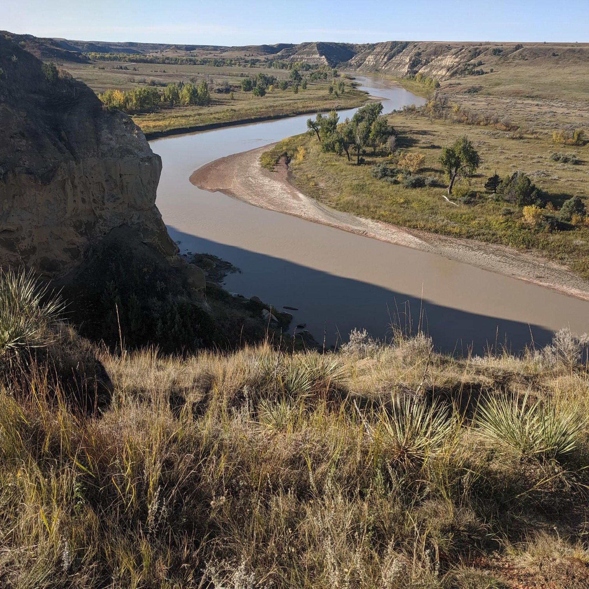
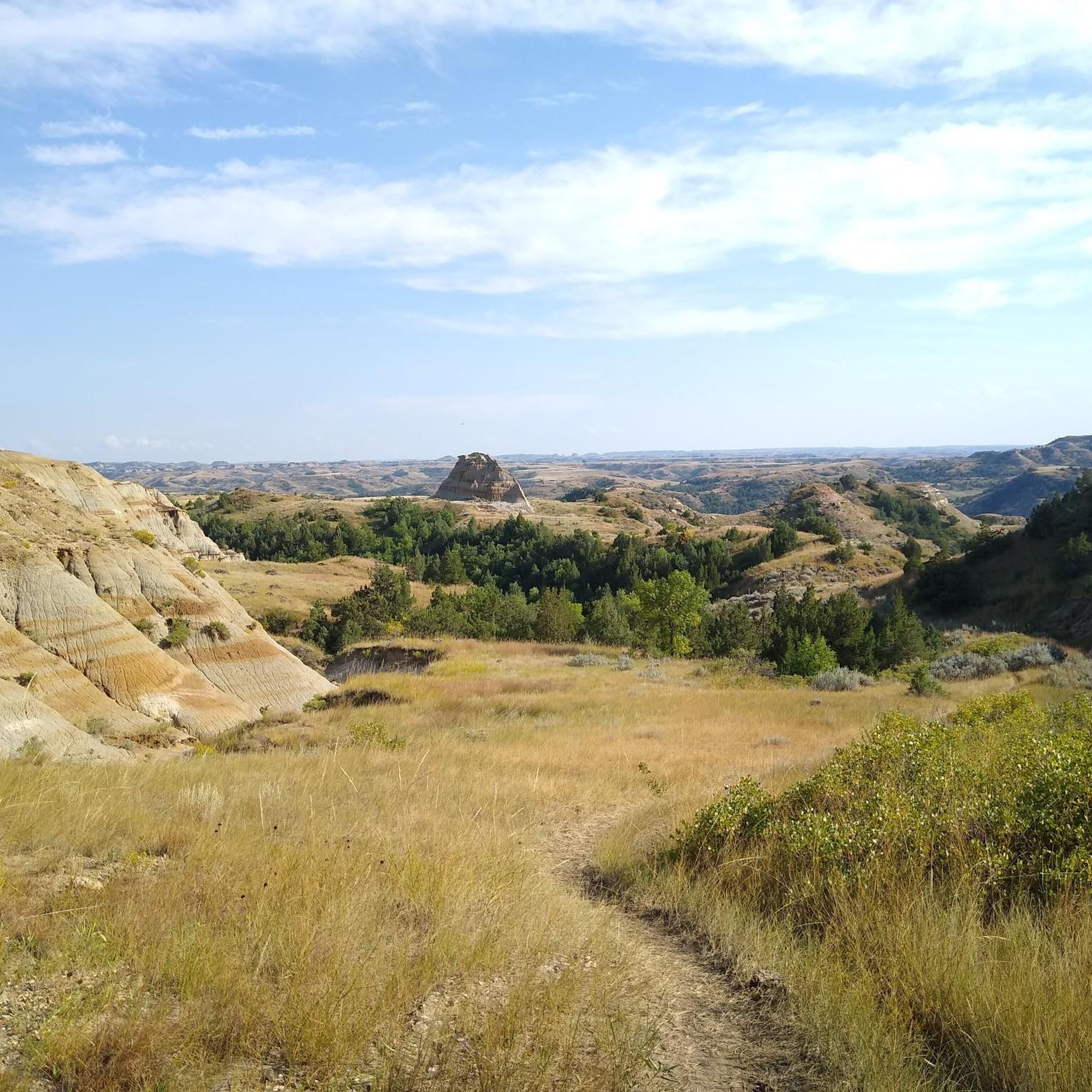
Jogging in Golden Valley County offers a unique experience through the rugged landscapes of western North Dakota. The region is characterized by badlands formations, open prairie, and river valleys, providing diverse terrain for runners. Much of the area is part of the scenic Theodore Roosevelt National Park, featuring natural scenery and geological formations. Trails often traverse varied elevations, from gentle park paths to more challenging routes with significant climbs.
Best jogging routes in Golden Valley County
- The most popular jogging…
Last updated: July 9, 2026
2
runners
8.28km
00:53
130m
130m
The Big Plateau and Ekblom Trail Loop offers a fantastic jogging experience through Theodore Roosevelt National Park's varied terrain. You'll move from lush forest sections to expansive grasslands, eventually reaching…
1
runners
4.82km
00:30
10m
10m
The Chimney Park Path offers a delightful, easy jogging experience on a smooth, paved surface, perfect for a quick escape into nature. As you follow the 3.0-mile (4.8 km) route,…

Sign up for free
18.3km
01:57
240m
240m
The Maah Daah Hey Trail offers an immersive jogging experience through the dramatic North Dakota Badlands, where you'll navigate a mix of singletrack, dirt paths, and rocky sections. Imagine running…
2.74km
00:20
110m
110m
The Pancratz Trail offers a truly unique jogging experience in Medora, North Dakota, winding through prairies dotted with wildflowers and sagebrush. You'll navigate varied terrain, including sections with ladders and…
9.47km
01:01
150m
150m
The Buffalo Gap Trail Loop offers a fantastic jogging experience through the rolling grasslands and dramatic badlands scenery of Western North Dakota. As you navigate the singletrack path, you'll be…
16.6km
01:46
210m
210m
Embark on the Petrified Forest Loop, a difficult jogging route spanning 10.3 miles (16.6 km) through Theodore Roosevelt National Park. You will experience varied terrain, from expansive prairies to dramatic…
Our route recommendations are based on thousands of hikes, rides, and runs completed by other people on komoot.
Start today with a free account
Your next adventure awaits.
Login or Signup
Other adventures in Golden Valley County

Tips from the Community

This is the southern section of the Petrified Forest Trail Loop. Take a right from the trailhead at the junction. The trail winds nicely from the access trail to the Maah Dash Hey Trail. The Maah Daah Hey Trail connects the northern and southern sections of the Petrified Forest Loop Trail.
0
0

Buffalo Gap Trail is a 19-mile trail that runs through the hills and grasslands of Theodore Roosevelt National Park. It was developed as a mountain bike trail, but is popular with trail runners and hikers as well.
0
0
The Ekblom Trail connects the Maah Daah Hey Trail to the Big Plateau Trail. It is a great way to extend your run and join two popular routes. There is a stream crossing, so you should get information about the water level at the visitor's center.
0
0
Most of the Big Plateau Trail runs over (surprise!) a big plateau with grasslands. This means little elevation changes on most of the trail. The only elevation changes are at the start and the end of the trail, going up and down the canyons. It's never a certainty, but the big plateau is known for big herds of bison hanging out. A river crossing is mandatory to make it out to both Big Plateau and Lone Tree Spring Loop Trail. Check-in with the visitor center about water depth and safety measures.
0
0
The Pancratz Trail is a short loop path that takes you up a butte for a beautiful view onto the town of Medora and the North Dakota Badlands. There is a bench at the viewing point, so it is a great place for a break to take in the wonderful vistas.
0
0
Sully Creek State Park is located in the heart of the North Dakota Badlands and on the banks of the Little Missouri River. The park is a popular spot for running and hiking, as well as biking, picnicking and canoeing on the river.
0
0
Maah Daah Hey Trail is a 144-mile trail that runs through some of the most breathtaking scenery in North Dakota. The section after Medora is a particularly beautiful part, going through the North Dakota Badlands with views onto Theodore Roosevelt National Park.
0
0
Great, quiet path out of Medora. It is 2 miles long. It is a wonderful path to get away from the cars on the road and still enjoy the views of the nearby national park.
0
0
Frequently Asked Questions
How many running routes can I explore in Golden Valley County?
There are 6 distinct running routes available in Golden Valley County, offering a range of experiences from easy park paths to challenging long-distance trails through the badlands.
Are there any easy jogging paths suitable for beginners in Golden Valley County?
Yes, for those looking for an easier run, the Chimney Park Path is an excellent option. It's an easy 3-mile (4.8 km) route, perfect for a relaxed jog.
What are some challenging running trails for experienced runners in the area?
Experienced runners can tackle the Maah Daah Hey Trail, a difficult 11.4-mile (18.3 km) path with significant elevation gain and expansive views. Another challenging option is the Petrified Forest Loop, which is 10.3 miles (16.6 km) and leads through unique geological formations.
Are there any circular running routes in Golden Valley County?
Yes, several routes offer a circular experience. The Big Plateau and Ekblom Trail Loop is a popular 5.1-mile (8.3 km) moderate loop through the badlands. Another great option is the Buffalo Gap Trail Loop, a moderate 5.9-mile (9.5 km) route.
What kind of scenery can I expect on the jogging routes in Golden Valley County?
Jogging in Golden Valley County, particularly within Theodore Roosevelt National Park, offers stunning views of badlands formations, open prairie, and river valleys. You'll encounter unique geological features like the petrified wood formations on the Petrified Forest Loop.
Are the running trails in Golden Valley County suitable for families?
While many trails offer rugged terrain, easier paths like the Chimney Park Path are generally suitable for families looking for a less strenuous outdoor activity. Always check the route's difficulty and length to ensure it matches your family's capabilities.
Can I bring my dog on the jogging trails in Golden Valley County?
Within Theodore Roosevelt National Park, pets are generally permitted on paved roads, in campgrounds, and in picnic areas, but not on backcountry trails or in park buildings. It's always best to check the specific regulations for each trail or park section before heading out with your dog.
Are there any long-distance running options for endurance training?
Absolutely. The Maah Daah Hey Trail offers a significant 11.4-mile (18.3 km) section within the area, and the Petrified Forest Loop is a substantial 10.3-mile (16.6 km) route, both ideal for longer runs.
When is the best time of year to go jogging in Golden Valley County?
Spring and fall generally offer the most pleasant temperatures for jogging in Golden Valley County, avoiding the extreme heat of summer and the harsh cold of winter. Spring also brings the possibility of wildflowers in some areas, while fall showcases beautiful autumn colors.
Are there any hidden gem running routes in Golden Valley County?
While the guide highlights popular routes, exploring lesser-known sections of the badlands or local park trails can reveal unique experiences. The Pancratz Trail, a moderate 1.7-mile (2.7 km) route, offers a focused experience with notable elevation changes.
What facilities, like parking or cafes, are available near the running routes?
Many of the running routes, especially those within Theodore Roosevelt National Park, will have designated parking areas. For cafes or other amenities, you would typically find these in nearby towns or visitor centers. It's advisable to plan your route and check for facilities in advance.
Most popular routes in Golden Valley County

Get inspired with the komoot mobile app


Explore more
Browse the best Running Trails & Routes in other regions.
