The best walks and hikes around Djupsjøen
4.5
(61)
269
hikers
33
hikes
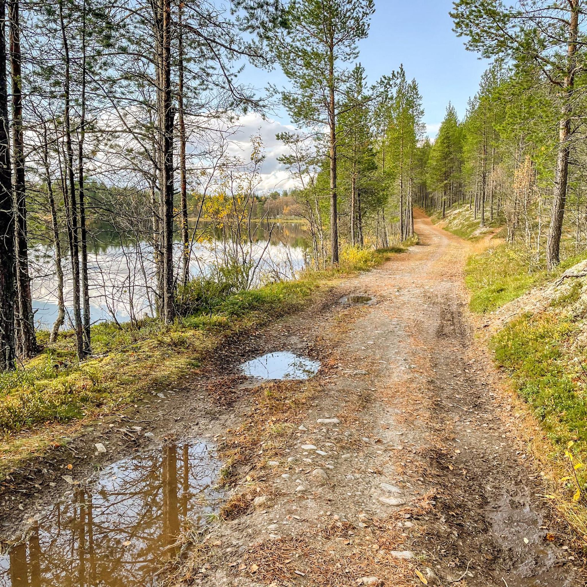
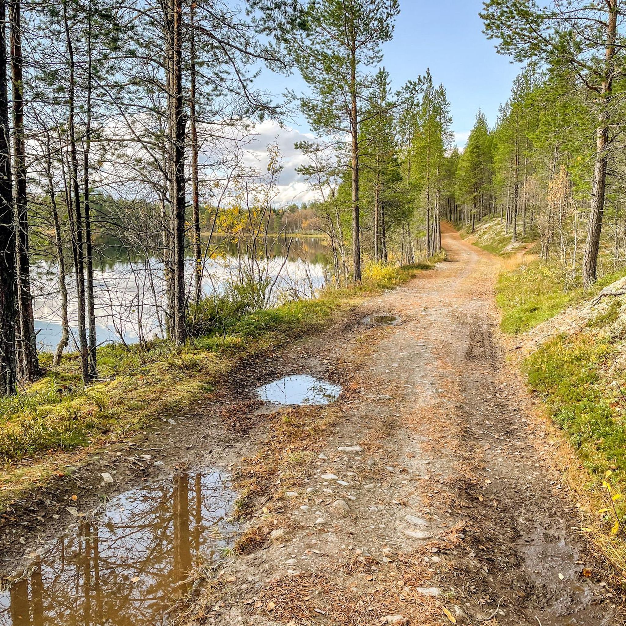
Hiking around Djupsjøen offers a variety of trails through diverse landscapes in Sør-Trøndelag. The region features scenic lakeside paths, areas with panoramic views, and routes that pass by historical mining sites. Hikers can explore a mix of terrain, from gentle, easily accessible paths to more challenging ascents. This area provides options for various fitness levels, making it suitable for a wide range of outdoor enthusiasts.
Best hiking trails around Djupsjøen
- The most popular hiking route is Kvintushøgda – Hestkletten loop…
Last updated: June 27, 2026
4.0
(1)
5
hikers
5.63km
01:38
140m
140m
Easy hike. Great for any fitness level. Easily-accessible paths. Suitable for all skill levels.
5
hikers
3.74km
01:03
80m
70m
Easy hike. Great for any fitness level. Easily-accessible paths. Suitable for all skill levels.

Sign up for free
4.4
(5)
21
hikers
6.88km
01:48
50m
50m
Easy hike. Great for any fitness level. Easily-accessible paths. Suitable for all skill levels.
4.7
(3)
8
hikers
13.8km
03:55
320m
320m
Hike the moderate 8.6-mile Skåkåsfjellet and Storstenåsen figure of 8 trail near Røros, offering panoramic views and historical mining sites
6
hikers
5.20km
01:26
80m
80m
Easy hike. Great for any fitness level. Easily-accessible paths. Suitable for all skill levels.
Get access to more routes and recommendations from other explorers.
Sign up for free
Already have an account?
Our route recommendations are based on thousands of hikes, rides, and runs completed by other people on komoot.
Start today with a free account
Your next adventure awaits.
Login or Signup
Popular around Djupsjøen

Tips from the Community

There's a bench here for taking in the views across the countryside. It's just a short walk from Røros and not far from the top of Storstenåsen.
0
0
This is the site of a former charcoal mound. The charcoal was used for smelting ore and is a reminder of Roros' industrial past.
1
0


Closed in summer, but there is an outhouse with hand disinfection.
1
0
bilingual: Norwegian and German
1
0
Frequently Asked Questions
How many hiking trails are available around Djupsjøen?
There are over 35 hiking trails in the Djupsjøen area. These routes cater to various preferences, including easy lakeside strolls and more challenging climbs, ensuring options for different ability levels.
What is the general difficulty level of hiking trails in Djupsjøen?
The trails around Djupsjøen offer a range of difficulties. You'll find a good selection of easy routes, with 20 trails classified as easy. There are also 14 moderate trails and one difficult route for those seeking a greater challenge.
Are there any family-friendly hiking options in Djupsjøen?
Yes, Djupsjøen offers several family-friendly hikes. Many trails feature easily-accessible paths suitable for all skill levels. Shorter, easy loops like the Kvintushøgda loop from Traktorverksted (3.7 km) are ideal for families with children, providing gentle ascents and pleasant scenery.
Are there any circular hiking routes around Djupsjøen?
Yes, many of the trails in Djupsjøen are circular, allowing you to start and end at the same point. Examples include the popular Kvintushøgda – Hestkletten loop from Gruvhagan and the scenic Rismosjøen Lakeside Trail – Great view loop from Påskvollen.
What kind of views can I expect on the Djupsjøen trails?
Hikers in Djupsjøen can expect diverse and scenic views. Many trails, such as the Skåkåsfjellet and Storstenåsen Figure-8 Trail, are known for providing panoramic vistas. The Rismosjøen Lakeside Trail also offers great views of the beautiful lake scenery.
Are there any historical sites or landmarks to see while hiking?
Yes, the Djupsjøen region has a rich history, particularly related to mining. Trails like the Skåkåsfjellet and Storstenåsen Figure-8 Trail pass by historical mining sites. Additionally, the nearby Røros Mining Site loop from Røros offers a direct connection to the area's mining heritage.
What do other hikers say about the trails in Djupsjøen?
The trails in Djupsjøen are highly rated by the komoot community, with an average score of 4.5 stars from over 50 reviews. Hikers often praise the diverse landscapes, from scenic lakeside paths to routes with panoramic views, and appreciate the options available for various fitness levels.
What is the longest moderate hike available in Djupsjøen?
For a longer, moderate challenge, consider the Skåkåsfjellet and Storstenåsen Figure-8 Trail. This route spans approximately 13.8 km with an elevation gain of around 317 meters, offering panoramic views and passing historical mining sites.
Are there any trails that offer lakeside scenery?
Absolutely. The Djupsjøen area is known for its beautiful lake. The Rismosjøen Lakeside Trail – Great view loop from Påskvollen is an excellent option, providing a 6.9 km route specifically designed for enjoying the serene lakeside environment.
What is the typical duration for an easy hike in Djupsjøen?
Easy hikes in Djupsjøen typically range from one to two hours to complete. For example, the Kvintushøgda – Hestkletten loop from Gruvhagan, an easy 5.6 km trail, usually takes about 1 hour and 38 minutes.
Is there a trail that combines elevation gain with varied scenery?
Yes, the Kvintushøgda – Hestkletten loop from Gruvhagan is an easy 5.6 km trail that features a moderate elevation gain of about 142 meters, offering varied scenery throughout its duration.

Get inspired with the komoot mobile app


Explore more
Browse the best Hikes in other regions.
