The best walks and hikes in Leavenworth County
4.3
(17)
386
hikers
45
hikes
If you've ever tried to plan hiking in Leavenworth County, you know how quickly the options can feel overwhelming. With so many trails, it's tough to tell which ones are genuinely worth your time and effort, and which are just filler. That's where we come in. Our komoot community has explored, mapped, and reviewed countless routes here, and we've distilled that collective wisdom into a curated shortlist of the very best. Consider this your shortcut to the trails that truly…
Last updated: May 10, 2026
8
hikers
15.6km
03:57
30m
30m
The Lawrence River Trail offers a peaceful escape into a vibrant bottomland forest, winding alongside the Kansas (Kaw) River. You'll navigate mostly smooth singletrack, occasionally encountering sandy stretches and a…
2
hikers
9.45km
02:36
140m
190m
If you're looking for a hike that blends diverse ecosystems with rewarding views, the KU Field Station Trails offer a moderate 5.9-mile (9.4 km) journey with 467 feet (142 metres)…

Sign up for free
514m
00:08
0m
0m
The Leavenworth Landing Riverfront Trail offers a delightful, flat stroll along the Missouri River, perfect for a quick escape. You'll walk on a paved surface, enjoying open views of the…
4.0
(3)
19
hikers
6.29km
01:42
90m
90m
The West Ridge Trail offers a delightful escape into nature, winding through a landscape that eventually opens up to sweeping panoramic views of the Missouri River valley. You'll navigate sections…
5.0
(1)
29
hikers
5.12km
01:24
80m
80m
Easy hike. Great for any fitness level. Easily-accessible paths. Suitable for all skill levels.
21
hikers
The Merritt Lake – Buffalo Soldier Monument loop from Fort Leavenworth offers a unique blend of natural beauty and profound history. This easy 2.9-mile (4.6 km) hiking trail, with its…
21
hikers
The Buffalo Soldier Monument – Merritt Lake loop offers a uniquely accessible blend of natural beauty and profound history. As you walk this easy 2.4-mile (3.9 km) route, you'll enjoy…
3
hikers
The Statue of General Grant – Old stone wall loop from Fort Leavenworth offers a unique blend of history and nature, guiding you through wooded areas alongside the remarkable Old…
3
hikers
7.95km
02:05
60m
60m
The "Statue of General Grant – Merritt Lake loop from Fort Leavenworth" is a moderate 4.9-mile (8.0 km) hike with 187 feet (57 metres) of elevation gain, estimated to take…
Get access to more routes and recommendations from other explorers.
Sign up for free
Already have an account?
Our route recommendations are based on thousands of hikes, rides, and runs completed by other people on komoot.
Start today with a free account
Your next adventure awaits.
Login or Signup






Tips from the Community

Great view from West Ridge Trail onto the Missouri River. There is not too much elevation gain to get to this spot, so it is definitely worth the effort for the great views.
0
0

This monument was dedicated in 1992 and is situated in a beautiful setting next to Smith Lake. It honors the memory of the 9th and 10th Cavalry Regiments of the U.S. Army. Around the monument, there are benches that also offer excellent views of the lake.
1
0
Scattered throughout Fort Leavenworth, you'll find many references honoring various soldiers. In this corner near Zais Park, you'll find the one of General Grant.
1
0

This old wall is just one of many remnants — or I suppose ruins, technically — of historic Fort Leavenworth. Keep an eye out for the main parade field to the west, and historic Grant Hall to the south.
0
0

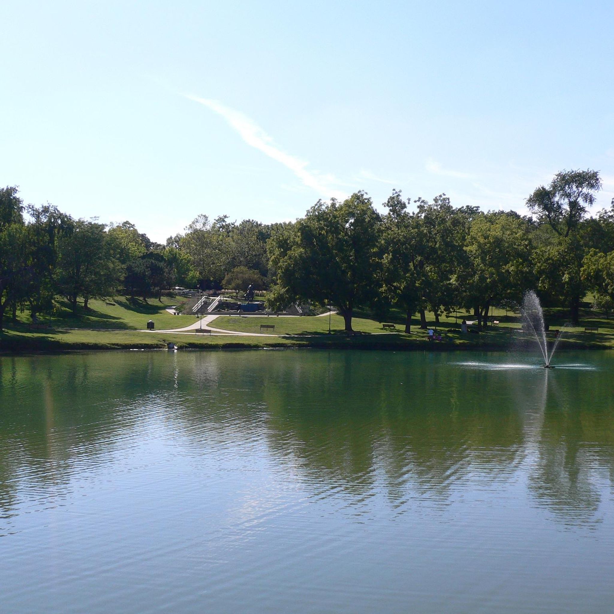
Merritt Lake is a reservoir on the Trails West Golf Course. It's man-made, and it's a wheelchair-accessible fishing spot as well! Before fishing, be sure to check the rules and regulations for the current season. Local Kansas City regulations dictate when fishing is allowed, the maximum size of the fish you can keep, as well as how many fish you can keep.
0
0
Frequently Asked Questions
Are there many hiking trails in Leavenworth County?
Yes, there are over 30 hiking routes to explore in Leavenworth County. The trails range from easy, flat paths perfect for a quick walk to more moderate hikes through wooded, rolling hills.
What is the terrain like for hiking in the region?
The landscape in Leavenworth County was shaped by ancient glaciers, creating a unique terrain of rolling hills, wooded bluffs, and scenic river valleys. You'll find a mix of paved urban trails, dirt paths through forests, and open parkland, with most routes being easy to moderate in difficulty.
Are dogs allowed on the hiking trails?
Many parks and trails in Leavenworth County are dog-friendly, but dogs are generally required to be on a leash. Trails within Fort Leavenworth also permit leashed dogs. Always check local signage at the trailhead for specific rules before you start your hike.
What are some good easy, family-friendly walks?
For a very accessible and easy walk, the Lexington Lake loop from De Soto is a great choice. It's a short, flat trail perfect for all ages. Another excellent option is the Three-Mile Creek Walking Trail, which is paved and connects to Leavenworth Landing Park along the river.
Can I go hiking within Fort Leavenworth?
Yes, Fort Leavenworth has a multi-use nature trail system that is open to the public. It features several loops through natural areas. Keep in mind that as it is an active military installation, you may need to present a valid government-issued ID at the gate for access. The Hiking loop from Fort Leavenworth is a great way to explore the area's natural beauty.
Are there any long-distance hiking trails?
For those seeking a longer challenge, the Hiking loop from Weston offers a more substantial trek. At over 8 miles (13 km), this moderate trail takes you through the varied terrain of the region, including hills and wooded sections.
Which trails offer views of the Missouri River?
Leavenworth Landing Park features a scenic walkway directly along the Missouri River with overlooks. This walkway also connects to the Three-Mile Creek Trail. For a more rustic hiking experience with river views, the Weston Bend State Park loop — Platte County in the neighboring area offers beautiful vistas of the river from its bluffs.
What is the Three-Mile Creek Walking Trail like?
The Three-Mile Creek Walking Trail is a premier paved trail ideal for walking, running, and biking. It's relatively flat and easy, connecting Haymarket Square to Leavenworth Landing Park. It's a great choice for a leisurely stroll with historical significance, passing under bridges and through tunnels.
Are there any waterfall hikes in the area?
While Leavenworth County is known more for its rolling hills and river views, you can find small, scenic water features. Nearby in Lansing, the Angel Falls Trail is a popular short walk that leads to a charming small waterfall, offering a pleasant and rewarding experience.
What do other hikers enjoy about Leavenworth County?
The area is well-regarded by the komoot community. Reviewers often praise the mix of history and nature, especially on the trails within Fort Leavenworth. The peaceful atmosphere of the wooded trails and the scenic beauty of the Missouri River are also frequently mentioned as highlights.
Where can I find a good circular hike?
The region has several excellent loop trails. For a longer, more involved loop that combines different features of the fort, consider the Old stone wall – Merritt Lake loop from Fort Leavenworth. This route provides a comprehensive tour of the area's wooded paths and lakeside scenery.
When is the best time of year to hike in Leavenworth County?
Spring and fall are ideal for hiking in Leavenworth County, offering pleasant temperatures and beautiful foliage. Summer can be hot and humid, so early morning hikes are recommended. Winter hiking is also possible, but be prepared for cold conditions and potentially icy trails.
Most popular routes in Leavenworth County

Get inspired with the komoot mobile app


Didn’t find what you were looking for?
Check out more Hikes throughout Leavenworth County below and find the perfect route in your destination.
Explore more
Browse the best Hikes in other regions.
