The best walks and hikes in Missoula County
5.0
(22)
975
hikers
96
hikes
Hiking in Missoula County, nestled in the Northern Rockies of Montana, offers diverse landscapes for outdoor activities. The region is characterized by picturesque river valleys, including the Clark Fork, Bitterroot, and Blackfoot rivers, framed by mountain ranges such as the Sapphire and Bitterroot Mountains. Extensive wilderness areas and national forests, including parts of the Lolo National Forest, provide varied terrain and rich ecosystems for exploration. This area features challenging mountain ascents, serene riverfront paths, and forested trails.
Best hiking trails…
Last updated: October 11, 2026
18
hikers
12.8km
04:58
1,110m
590m
The Mount Sentinel via Kim Williams and Hellgate Canyon Loop offers a dramatic shift in scenery, starting with a tranquil stroll along the Clark Fork River before ascending steeply through…
8
hikers
7.27km
02:10
230m
230m
Embark on the Blue Mountain Rocky Top Loop, a moderate hike that spans 4.5 miles (7.3 km) and climbs 743 feet (227 metres). This route typically takes around 2 hours…

6
hikers
9.75km
03:06
600m
120m
Embark on a moderate hike along the Turquoise Lake Trail, a 6.1-mile (9.8 km) route that promises a substantial climb. You'll gain 1957 feet (596 metres) in elevation, a journey…
7
hikers
8.88km
02:35
250m
240m
Embark on the Sawmill Curry Gulch Loop Trail for a moderate hiking experience that takes you through varied terrain. You will primarily gain a ridge and follow it, enjoying the…
7
hikers
3.61km
01:09
180m
90m
The Sam Braxton and 9.2 Trail offers a delightful escape into the Lolo National Forest near Missoula, winding through serene groves of mature western larch and ponderosa pine trees. You'll…
5
hikers
11.5km
04:01
970m
80m
The Sapphire Lake trail in Flathead National Forest offers a profound sense of solitude amidst rugged alpine beauty. As you climb, you'll be treated to great views of the Mission…
2
hikers
2.66km
00:47
120m
0m
Embark on the Glacier Lake Trail for an easy hike through the serene landscapes of Flathead National Forest. This route offers a pleasant escape into nature, leading you directly to…
5.0
(1)
2
hikers
13.0km
04:03
540m
380m
Embark on the Mount Sentinel and Pattee Canyon Loop, a moderate hike spanning 8.1 miles (13.0 km) with an elevation gain of 1765 feet (538 metres). You can expect to…
1
hikers
5.69km
01:46
340m
0m
If you're looking for a solid climb with incredible payoffs, the Mount Sentinel via Crazy Canyon trail delivers. This route winds through thinned Ponderosa Pine forests, gradually revealing expansive views…
1
hikers
6.61km
02:03
260m
240m
The Blue Mountain Loop is a moderate hiking route that offers expansive views of Missoula and the surrounding valley. As you hike the 4.1 miles (6.6 km), the trail winds…
Get access to more routes and recommendations from other explorers.
Already have an account?
Our route recommendations are based on thousands of hikes, rides, and runs completed by other people on komoot.
Start today with a free account
Your next adventure awaits.
Popular around Missoula County


Other adventures in Missoula County

Tips from the Community

Glacier Lake is a picturesque alpine lake along the Glacier Creek Trail. The lake is approximately 3.3 miles from the trailhead near Condon, Montana. It is often passed by hikers heading up to Turquoise Lake or Heart Lake, but it is a very nice destination in its own right; its clear waters ringed by trees and rocky peaks make it a great spot to relax and enjoy the views.
1
0
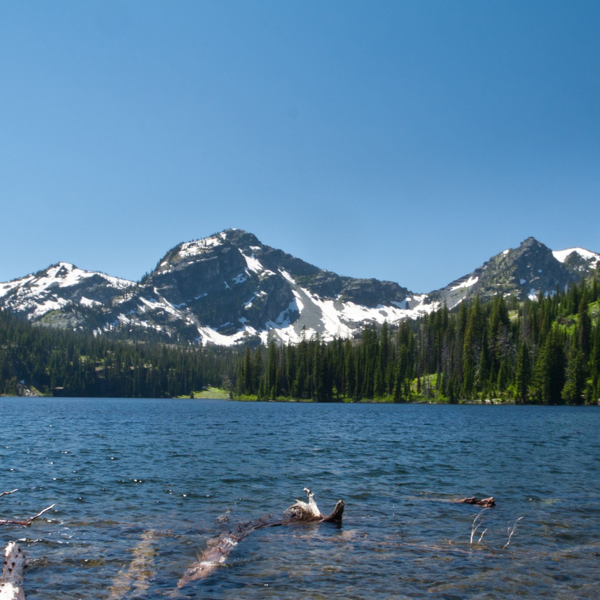
Sapphire Lake is small, pristine alpine lake located at approximately 7,006 feet in the Flathead National Forest. Most get here via Trail No. 415, which begins near Holland Lake. The hike to the lake is considered challenging, with a total round-trip distance of approximately 14.2 miles and an elevation gain of around 3,100 feet.
0
0
Upper Holland Lake is approximately 5.5 miles from the Holland Lake trailhead and and is often hiked as part of a loop with Upper Sapphire Lake. Situated at about 6,100 feet the lake is surrounded by towering peaks, making it scenic spot to eat some lunch at before continuing on your hike.
0
0

This is a jumping off point for a lot of trails. There's a couple of easy options through the valley and some others that climb up the ridgelines and lead to some great views.
0
0

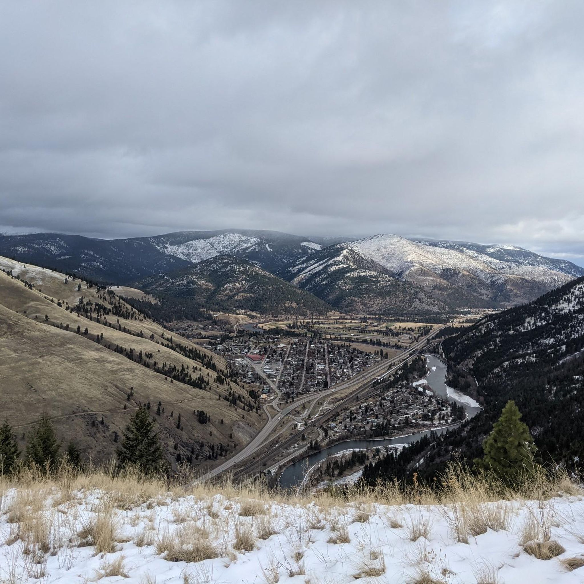
From the trail, there is a nice view of the valley just before the land kicks up into the mountains. You can parts of the Bitterroot River and into Missoula.
0
0
The "M" on the west face of Mount Sentinel has been a Missoula landmark since 1908, when Forestry Club members forged a zigzag trail up the mountain and students carried up stones to shape the symbol of the University of Montana. The "M" Trail is a very popular area for hiking and running, so you'll likely encounter other people while exploring. Dogs are welcome, but must be on a leash. There are great views of Missoula and the entire valley from the trail, but should be noted that there is no shade, so try and get there early! Being that this trail can get crowded, there are two alternative trails back down the mountain, one in the north towards the tree-line, and a slightly longer detour trail in the south if you continue on Evan's Trail.
0
0
This is a jumping off point for a lot of trails. There's a couple of easy options that roll through the valley and some others that climb up the ridgelines and lead to some great descents.
1
0

From the top of Mount Sentinel there is a beautiful view of Missoula. Great spot to enjoy the sunset.
0
0
Frequently Asked Questions
What kind of hiking trails can I expect in Missoula County?
Missoula County offers a diverse range of hiking trails, from easy walks to challenging multi-day excursions. You'll find routes through picturesque river valleys, rugged mountain ranges like the Sapphire and Bitterroot Mountains, and extensive wilderness areas. The komoot community has documented 71 routes, with 21 easy, 35 moderate, and 15 difficult options.
Are there any trails with waterfalls in Missoula County?
Yes, you can find trails featuring waterfalls. A notable option is the Holland Falls Trail — Flathead National Forest, an easy 3.0-mile (4.9 km) path that leads through forest scenery to a beautiful waterfall.
What are some good options for family-friendly hikes in Missoula County?
For families, trails like the The "M" Trail — Missoula offer a quick elevation gain and panoramic views suitable for many. The Kim Williams Trail along the Clark Fork River is paved and popular for walking, running, and birdwatching, making it very accessible. Additionally, the Mount Jumbo Backbone Trail — Missoula offers an easy 3.7-mile (5.9 km) experience.
Are there dog-friendly hiking trails in Missoula County?
Missoula County is generally very dog-friendly. Many trails, especially those in areas like Waterworks Hill and Pattee Canyon Recreation Area, welcome dogs. Always check specific trail regulations for leash requirements or restrictions before heading out.
What natural landmarks or viewpoints can I see on hikes in Missoula County?
Missoula County offers stunning natural landmarks and viewpoints. The The M Trail on Mount Sentinel provides breathtaking panoramic views of Missoula. Mount Jumbo is known for its spring wildflowers and offers excellent vistas. The confluence of the Clark Fork and Blackfoot Rivers at Milltown State Park also provides scenic overlooks.
Are there any circular hiking routes in Missoula County?
Yes, Missoula County features several enjoyable loop trails. The Mount Jumbo South Face Trail loop — Missoula is a moderate 4.4-mile (7.1 km) route known for its wildflowers. Another option is the North Hills Ridge & Cherry Gulch Trail loop — Missoula, an easy 2.2-mile (3.6 km) hike.
What is the best time of year to go hiking in Missoula County?
Spring is ideal for experiencing vibrant wildflowers on trails like Mount Jumbo and Waterworks Hill. Summer offers warm weather for exploring higher elevations and river-based trails. Fall brings spectacular foliage to the region's forests. While winter hiking is possible, some trails may be snow-covered, requiring appropriate gear.
Where can I find extensive trail networks for longer hikes?
The Rattlesnake National Recreation Area, just north of Missoula, provides an extensive network of trails with varying difficulty and length, including options for challenging multi-day excursions. It features lush forests and Rattlesnake Creek. The Bitterroot National Forest also offers vast wilderness and numerous trails for longer adventures.
What do other hikers enjoy the most about hiking in Missoula County?
The area is highly rated by the komoot community, with an average score of 5.0 stars from 16 reviews. Reviewers often praise the diverse landscapes, from river valleys to mountain views, and the accessibility of trails directly from Missoula. The variety of options, from quick city-adjacent climbs to extensive wilderness routes, is also frequently highlighted.
Are there any trails that offer good opportunities for wildlife spotting?
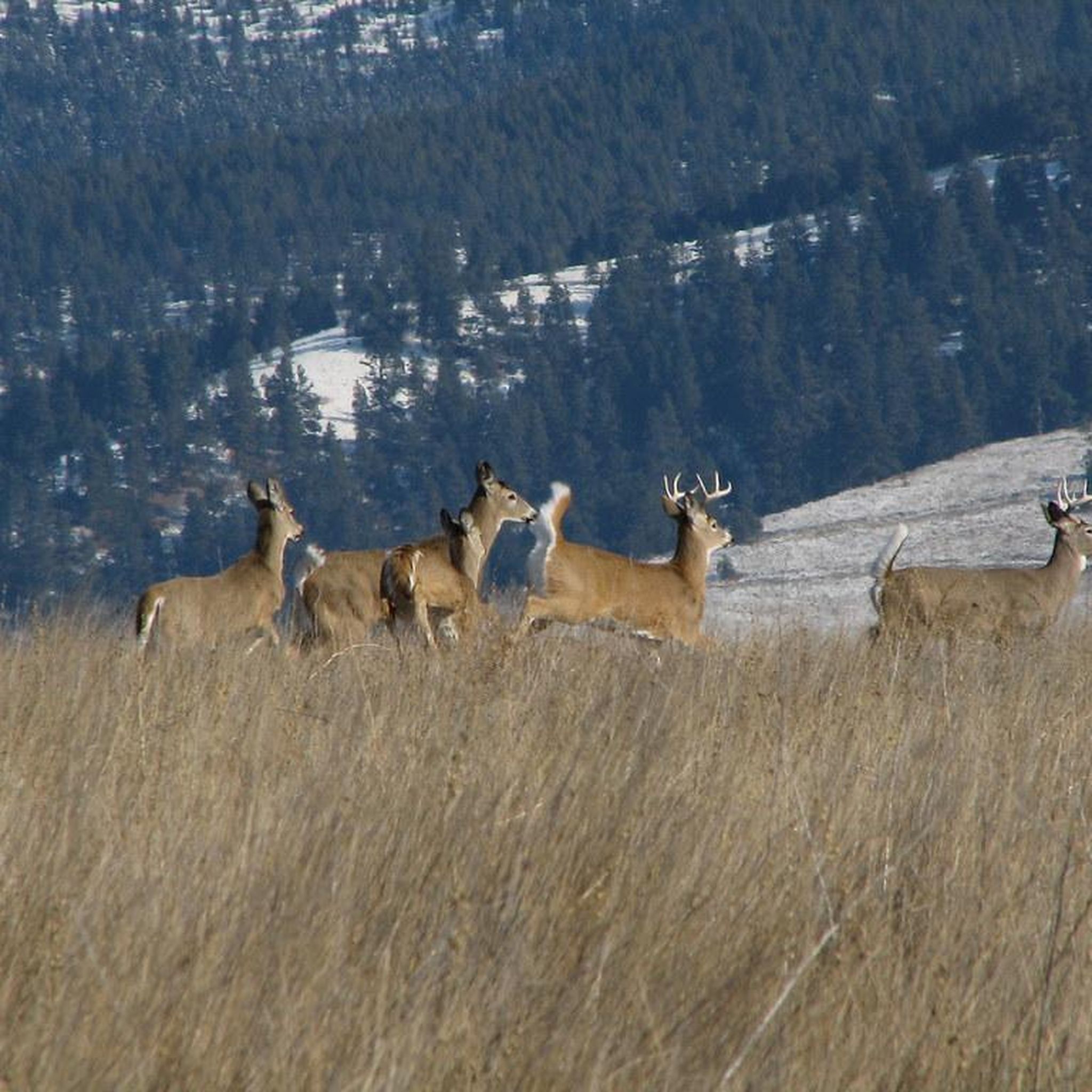
Many trails in Missoula County, especially those in the vast wilderness areas and national forests like the Bitterroot and Lolo National Forests, offer opportunities for wildlife spotting. Areas with rich ecosystems, such as Fishtrap Lake, are known for their diverse habitats. Keep an eye out for deer, elk, various bird species, and other local fauna.
Are there any difficult or challenging hikes in Missoula County?
For those seeking a challenge, Missoula County has 15 difficult routes. The Mount Dean Stone Preserve Trail — Missoula is a demanding 11.3-mile (18.1 km) hike with significant elevation gain. Another challenging option is the Turquoise Lake Loop — Mission Mountains Wilderness, a 12.1-mile (19.4 km) route.
Are there any trails accessible from downtown Missoula?
Yes, Missoula offers several trails directly accessible from downtown. The Riverfront Trail extends along both sides of the Clark Fork River, providing a network of walking paths with diverse scenery. The Kim Williams Trail is another popular paved option along the Clark Fork River, easily reached from the city center.
Most popular routes in Missoula County
Most popular attractions in Missoula County

Get inspired with the komoot mobile app


Didn’t find what you were looking for?
Check out more Hikes throughout Missoula County below and find the perfect route in your destination.
Explore more
Browse the best Hikes in other regions.
