The best MTB trails in Columbia County
10
riders
4
rides
Mountain biking in Columbia County offers a network of trails through varied terrain in Wisconsin. The landscape features a mix of woodlands, open fields, and gentle elevation changes, providing accessible routes for mountain bikers. The region's geology contributes to a generally smooth riding experience, with trails often following natural contours. This area is characterized by its rural setting, offering a quiet environment for outdoor activities.
Best mountain bike trails in Columbia County
- The most popular mountain bike trail is Fern…
Last updated: July 9, 2026
4
riders
7.24km
00:29
20m
20m
Easy mountain bike ride. Great for any fitness level. Suitable for all skill levels.
4
riders
11.7km
00:59
70m
70m
Easy mountain bike ride. Great for any fitness level. Suitable for all skill levels.

Sign up for free
2
riders
7.34km
00:37
100m
100m
Easy mountain bike ride. Great for any fitness level. Suitable for all skill levels.
10.4km
00:49
30m
30m
Easy mountain bike ride. Great for any fitness level. Suitable for all skill levels.
2.94km
00:15
20m
20m
Easy mountain bike ride. Great for any fitness level. Suitable for all skill levels.
Our route recommendations are based on thousands of hikes, rides, and runs completed by other people on komoot.
Start today with a free account
Your next adventure awaits.
Login or Signup
Tips from the Community

Unlike most dams, this one rests on a foundation of over 12,000 timber piles driven deep into the sandy riverbed. This innovative approach was used due to the challenging soil conditions and remains a remarkable feat of engineering, serving the dam for over a century.
0
0

This heavily wooded trail offers abundant shade as you ride. It provides ample space and enjoyable hills while maintaining a relatively flat overall terrain. Keep a lookout for wildlife, as the area is frequented by many deer and other creatures.
1
0
Did you know that the SPRA was once home to the Badger Army Ammunition Plant, a major producer of explosives during World War II, the Korean War, and the Vietnam War? After its closure in 1994, the land was transformed into a recreational area, preserving its unique history while offering new opportunities for exploration. Explore along scenic trails that wind through rolling prairies, offering panoramic views of the Wisconsin River Valley. Spot wildflowers blooming in spring and summer, or witness the vibrant fall foliage transform the landscape.
0
0
The Wisconsin River meanders through rolling hills and lush valleys, offering breathtaking views from its banks. Sandbars, bluffs, and diverse wildlife create a picturesque landscape.
0
0

The Great Sauk Trail passes through the town of Prairie du Sac. It is here, the trail is both close to the river and to the city.
0
0
This trail offers lush surroundings and consistent shade, with some pleasant hills. Along the way, you'll encounter several spots where you can enjoy the sights and sounds of a creek.
0
0

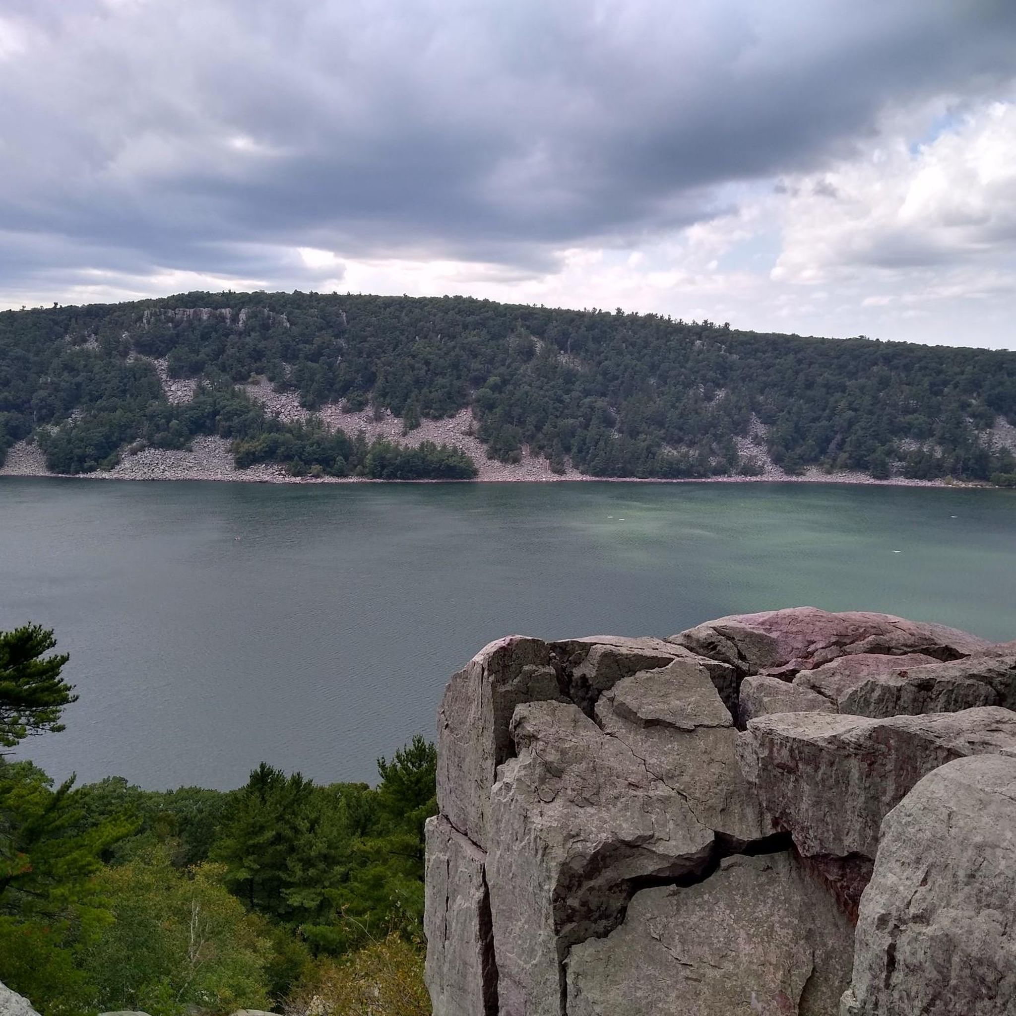
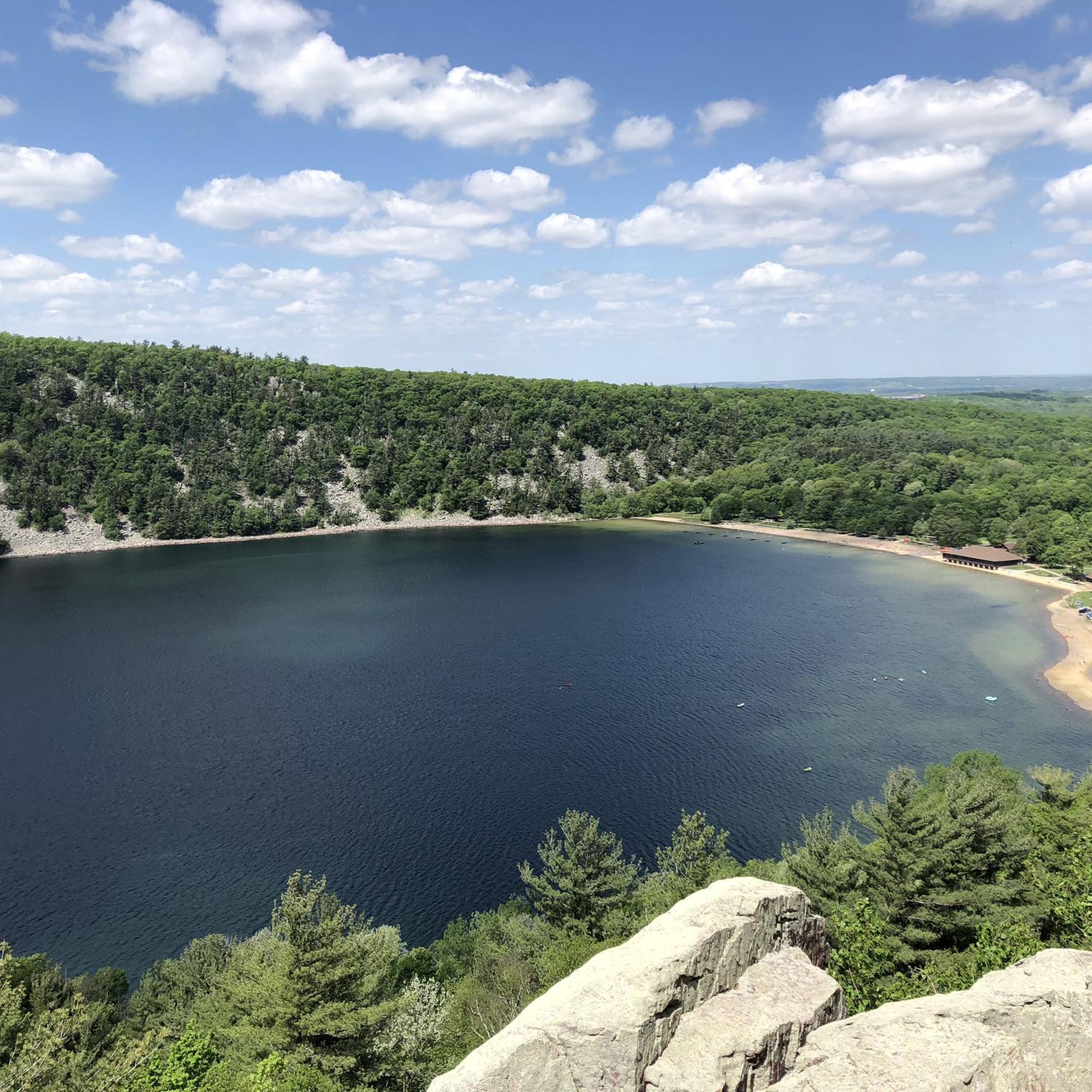
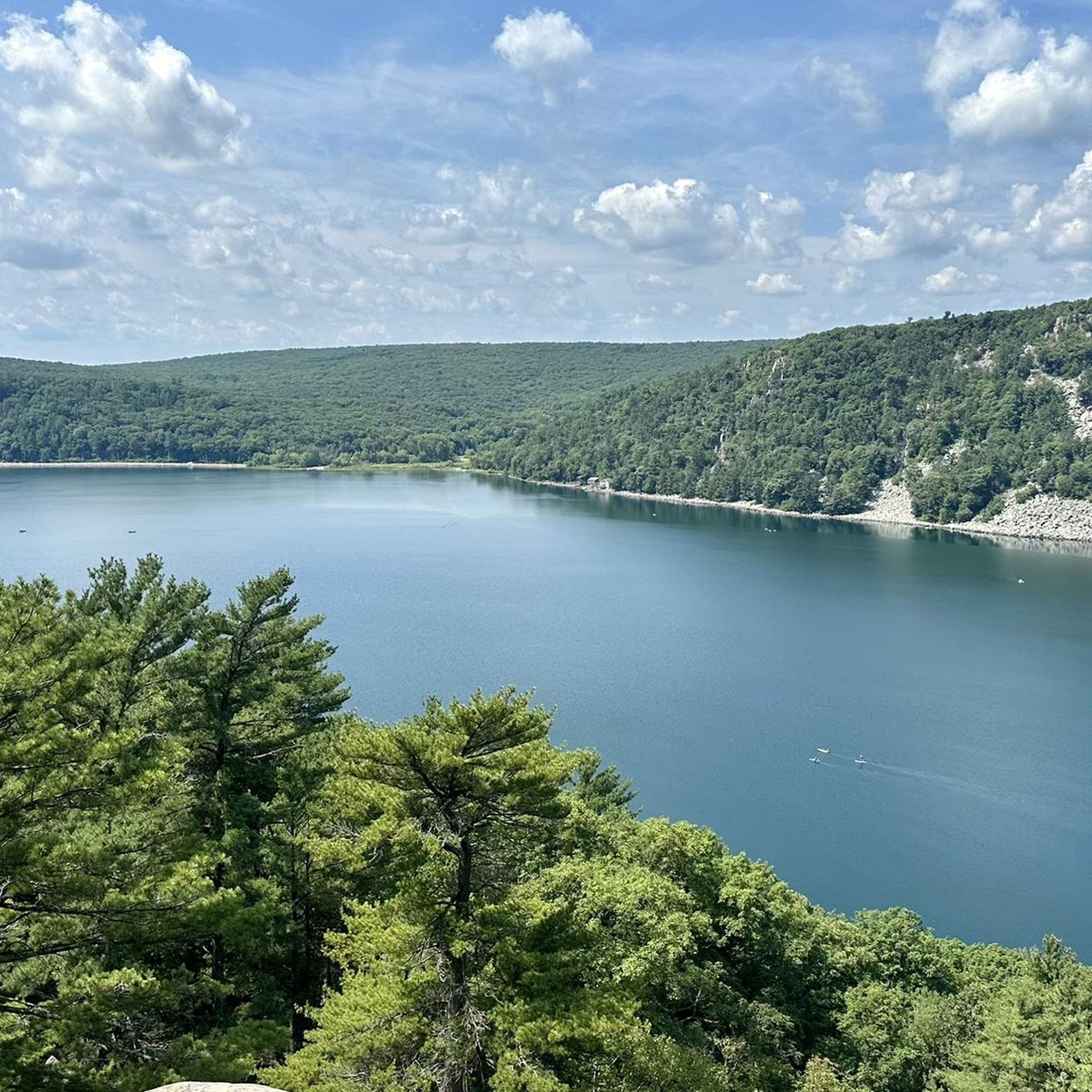
This is a magnificent park along the Ice Age National Scenic Trail. It has huge bluffs that overlook a beautiful lake (although you'll have to go on foot to reach them). The nature is spectacular. The park is open from 6am until 11pm year-round.
0
0

The trail is a wide packed dirt path through the trees with access to the Fern Dell and Wild Rice trails, the latter of which has a viewpoint of Mirror Lake just west of the junction with this trail.
1
0
Frequently Asked Questions
What kind of mountain biking experience can I expect in Columbia County?
Columbia County offers a network of mountain bike trails characterized by woodlands, open fields, and gentle elevation changes. The routes are generally accessible and provide a smooth riding experience, often following natural contours. It's a rural setting, ideal for a quiet outdoor activity.
Are there mountain bike trails suitable for beginners or families in Columbia County?
Yes, all mountain bike trails listed for Columbia County are rated as easy. This makes them suitable for beginners and families looking for a relaxed ride. The terrain features gentle hills and accessible paths, perfect for those new to mountain biking or riding with children.
What is the best time of year for mountain biking in Columbia County?
The spring, summer, and fall months generally offer the best conditions for mountain biking in Columbia County. Spring brings lush greenery, while fall provides scenic foliage. Always check local weather conditions before heading out, especially after rain, as trails can become muddy.
Are there any longer mountain bike routes for a more extended ride?
For a longer ride, consider the Fern Dell, Turtleville, and Hastings Trails Loop, which is 7.3 miles (11.7 km) long and typically takes about 1 hour to complete. Another good option is the Northern and Central Trails Loop, spanning 6.4 miles (10.4 km).
Are there any circular mountain bike routes in Columbia County?
Yes, several routes are designed as loops. For example, the Fern Dell, Turtleville, and Hastings Trails Loop, the Upland Trail Loop, and the Northern and Central Trails Loop all offer circular paths, allowing you to start and end at the same point.
What are some popular mountain bike trails in Columbia County?
Among the popular choices are the Fern Dell, Turtleville, and Hastings Trails Loop, known for its diverse natural settings, and the Northern and Central Trails Loop, which combines wooded sections with open areas.
What is the typical duration for mountain bike rides in Columbia County?
Most mountain bike routes in Columbia County are relatively short and can be completed within an hour. For instance, the Upland Trail Loop takes about 40 minutes, while the Fern Dell, Turtleville, and Hastings Trails Loop typically takes around 1 hour.
Are there any specific points of interest or landmarks along the mountain bike trails?
While specific highlights for these mountain bike routes are not detailed, Columbia County's rural landscape offers a quiet environment with woodlands and open fields. The Dam Trails at Alliant Energy might offer views related to the energy facility's surroundings, providing a unique backdrop for your ride.
What are the elevation changes like on mountain bike trails in Columbia County?
The trails in Columbia County feature gentle elevation changes, contributing to a generally smooth riding experience. For example, the Fern Dell, Turtleville, and Hastings Trails Loop has an elevation gain of about 70 meters, while the Upland Trail Loop has a gain of around 96 meters, indicating mild climbs.
What do other mountain bikers enjoy about the trails in Columbia County?
Mountain bikers using komoot to explore Columbia County often appreciate the accessible woodlands, open fields, and gentle hills. The quiet, rural setting is frequently highlighted as a positive aspect, offering a peaceful environment for outdoor activities.
Are there any mountain bike trails near the Alliant Energy area?
Yes, the Dam Trails at Alliant Energy offer mountain biking opportunities in that vicinity. There are two distinct routes under this name, one being 4.5 miles (7.2 km) and another shorter one at 1.8 miles (2.9 km), both rated as easy.
Most popular routes in Columbia County

Get inspired with the komoot mobile app


Explore more
Browse the best MTB trails in other regions.
