The best walks and hikes in Skagway Municipality
4.6
(64)
482
hikers
27
hikes
Hikes in Skagway Municipality navigate a landscape defined by the deep Lynn Canal fjord, coastal temperate rainforests, and steep ascents to alpine lakes. The region is part of the vast Tongass National Forest, characterized by towering spruce and hemlock trees. Trails often follow historic Gold Rush-era paths, combining natural scenery with historical context. The terrain ranges from accessible forest loops near town to challenging mountain climbs with significant elevation gain.
Best hiking trails in Skagway Municipality
- The most popular hiking…
Last updated: September 28, 2026
5.0
(3)
8
hikers
3.41km
01:12
190m
170m
Embark on the Lower Dewey Lake Loop, an easy 2.1-mile (3.4 km) hiking route that offers a rewarding outdoor experience. You will gain 621 feet (189 metres) in elevation, with…
2
hikers
5.44km
01:41
180m
160m
Embark on an easy 3.4-mile (5.4 km) hike along the Sturgill's Landing Trail, a route that guides you through temperate forests and offers scenic views. You will gain 589 feet…

4
hikers
6.56km
03:13
1,130m
30m
The Devil's Punch Bowl presents a challenging hiking experience, covering 4.1 miles (6.6 km) with a significant elevation gain of 3698 feet (1127 metres). You can expect to spend around…
1
hikers
11.2km
04:43
1,500m
60m
Embark on the AB Mountain Trail, a demanding 7.0-mile (11.2 km) hike that challenges you with a significant 4915 feet (1498 metres) of elevation gain. The route begins by winding…
4.6
(15)
111
hikers
4.71km
01:30
170m
170m
Easy 2.9-mile loop hike to Lower Dewey Lake in Skagway, Alaska, offering forest scenery and lake views from the Klondike Gold Rush National
5.0
(6)
30
hikers
9.64km
02:51
260m
260m
Hike the moderate 6.0-mile Lower Dewey Lake and Sturgill's Landing Trail for diverse terrain, forestscapes, and views of Lynn Canal.
5.0
(5)
24
hikers
11.6km
05:09
1,100m
1,100m
Hike the difficult 7.2-mile Upper Dewey Lake & Devil's Punchbowl trail for alpine scenery, a turquoise lake, and panoramic views of Skagway.
5.0
(4)
19
hikers
7.57km
02:22
280m
280m
Embark on a moderate hike to Icy Lake and Upper Reid Falls, a journey that takes you through dense spruce and hemlock forests. This 4.7-mile (7.6 km) route features a…
5.0
(1)
7
hikers
2.21km
00:35
30m
30m
Hike the easy 1.4-mile Yakutania Point and Smuggler's Cove Trail in Skagway, offering coastal views and a glimpse into history.
4.7
(3)
8
hikers
15.3km
04:10
210m
210m
Hike a moderate 9.5-mile section of the historic Chilkoot Trail, gaining 696 feet through rainforest and sub-alpine terrain.
Get access to more routes and recommendations from other explorers.
Already have an account?
Our route recommendations are based on thousands of hikes, rides, and runs completed by other people on komoot.
Start today with a free account
Your next adventure awaits.
Other adventures in Skagway Municipality

Tips from the Community

The view from the summit of AB Mountain just might give you sensory overload. You will have a panoramic view for a full 360° from the actual summit, or equally great views from the earlier two false summits. It's up to you how far you want to go, but keep in mind that weather changes quickly around here and fog can roll in at any time. Be sure you have your maps downloaded and keep track of landmarks for the return trip.
0
0

Good spot for camping toilet and barbecue place available
0
0

If you're looking for a challenging trail run in the Skagway area, this is it. Even hiking here is a challenge, with steep inclines that may sometimes drop you out of a running pace and are virtually guaranteed to give you calves of steel.
1
0
Smuggler's Cove is a peaceful, grassy waypoint along the water. Depending on where you're coming from, as it can be accessed both from Dyea Road and from a small parking area at the Skagway Airport.
1
0
If you started running from the Skagway Airport, rocky Yakutania Point is your first great viewpoint along the trail. There is a picnic ring, outhouse and fire ring, along with beautiful views out across the water and looking back toward Skagway, where massive cruise ships sometimes seem to dwarf the town.
1
0
If you started hiking from the Skagway Airport, rocky Yakutania Point is your first great picnic stop along the trail. There is a picnic ring, outhouse and fire ring, along with beautiful views out across the water and looking back toward Skagway, where massive cruise ships sometimes seem to dwarf the town.
2
0
Smuggler's Cove is a peaceful, grassy end to this trail — or a start to it, depending on where you're coming from, as it can be accessed both from Dyea Road and from a small parking area at the Skagway Airport.
2
0
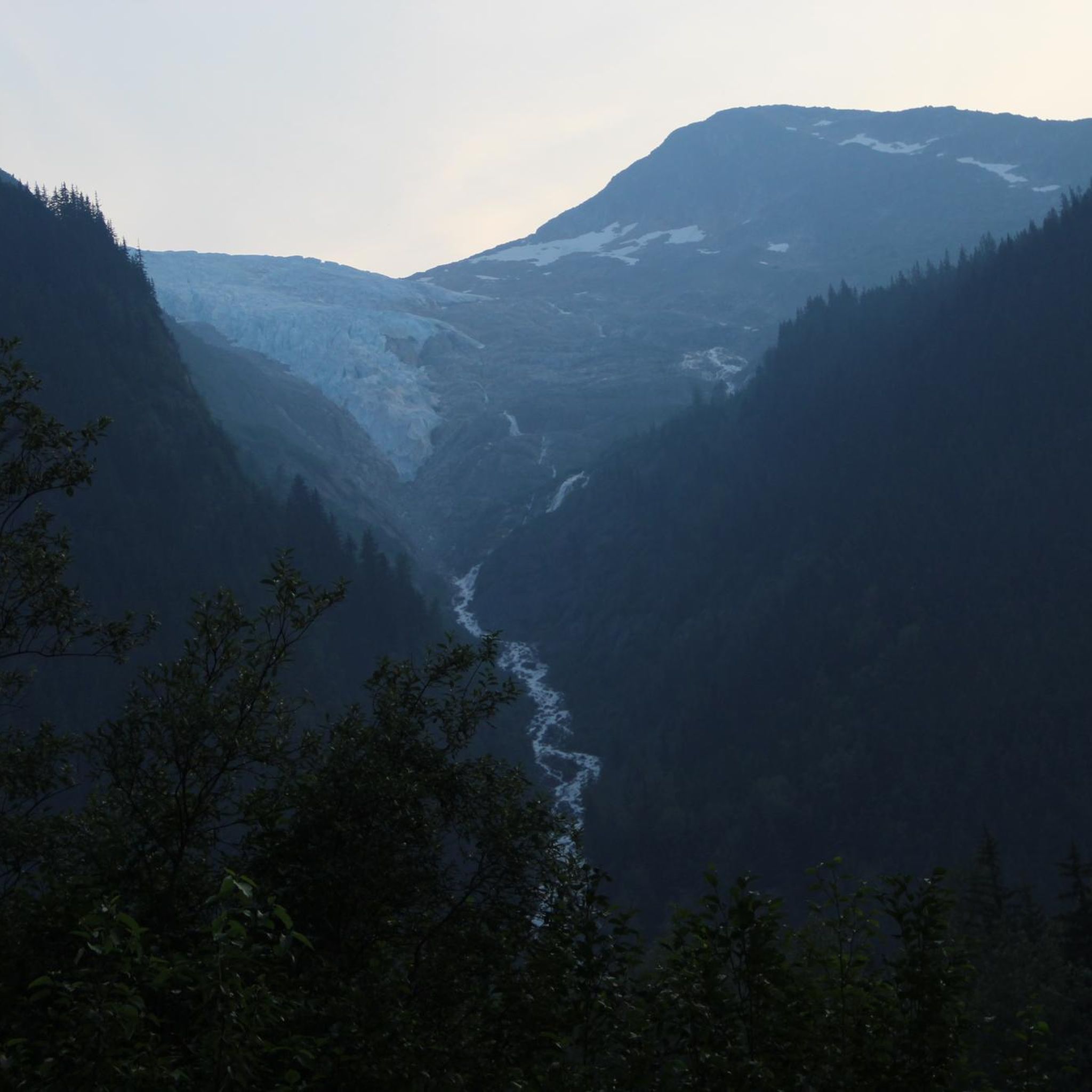
If you're up for a long day hike, the Finnegan's Point campground makes a good turnaround point. It's very close to the Taiya River, and on clear days you can see a hanging glacier — the Irene Glacier — on the far side of the river from the campground. If you're thinking of staying at the campground, please keep in mind that a permit is required for all overnight camping along the trail, including in campgrounds like this one. Read more here: https://www.nps.gov/klgo/planyourvisit/chilkoot-campgrounds.htm
2
0
Frequently Asked Questions
Are there any easy, family-friendly hikes in Skagway?
Yes, the Yakutania Point/Smuggler's Cove Trail is an excellent choice for families and beginners. It's a short, relatively flat walk of about 1.4 miles (2.2 km) through a birch and pine forest, leading to scenic coastal lookouts and a sheltered cove.
What are some good hikes to see waterfalls?
For an easily accessible waterfall, you can walk past the Gold Rush Cemetery to see Lower Reid Falls. If you're looking for a more substantial hike, the trail to Icy Lake and Upper Reid Falls is a moderate route that rewards you with views of several beautiful mountain lakes and cascades.
I'm looking for a very challenging hike. What do you recommend?
For a strenuous and rewarding challenge, the AB Mountain and Smuggler's Cove trail is one of the toughest in the area. This difficult hike involves a significant elevation gain of over 4,800 feet (1,480 m) and offers panoramic views of the surrounding fjords and mountains.
Can I hike to a glacier near Skagway?
Yes, you can hike to see glaciers. The Laughton Glacier Trail is a popular option, though it requires a flag stop on the White Pass & Yukon Route Railway to reach the trailhead. The hike itself is a moderate walk through the forest to the glacier's terminus.
What should I know about wildlife and safety on the trails?
Skagway is in bear country. It is essential to be bear-aware on all trails. Make noise while you hike, carry bear spray, and know how to use it. Never feed wildlife. You might also see mountain goats, moose, and eagles. For more detailed local safety information, you can consult resources from the National Park Service.
Are there any hikes that combine nature with Gold Rush history?
Absolutely. A day hike on a segment of the famous Chilkoot Trail is a great way to experience this. Starting from the historic Dyea Townsite, you can walk a portion of the route used by prospectors, immersing yourself in the region's rich history while enjoying the temperate rainforest scenery.
How many hiking trails are available in the Skagway area?
There are over 20 designated hiking trails in and around Skagway Municipality. These routes range from easy, short walks near town to difficult, multi-day treks into the alpine, offering options for every skill level.
What do other hikers say about the trails in Skagway?
The trails in Skagway Municipality are highly regarded by the komoot community, with an average rating of 4.8 stars. Hikers frequently praise the stunning combination of coastal rainforest, alpine lakes, and dramatic mountain scenery, as well as the unique historical context of many trails.
Are there any good hikes that start right from the cruise port or downtown?
Yes, the Dewey Lakes Trail System is very accessible from town. The trailhead is just a short walk from the main downtown area. From there, you can choose the relatively easy Lower Dewey Lake loop or continue on to more challenging destinations.
What is the difference between the Lower and Upper Dewey Lake trails?
The Lower Dewey Lake trail is an easy, forested loop around the lake with minimal elevation gain, suitable for most fitness levels. The trail to Upper Dewey Lake is a strenuous and steep climb, gaining over 3,000 feet (915 m) in about 3 miles. It's a challenging hike that rewards with spectacular alpine scenery, as seen on the Upper Dewey Lake & Devil's Punchbowl route.
Are there any long-distance coastal hikes?
The hike to Sturgill's Landing is a great option for a longer coastal walk. This moderate out-and-back trail is about 6 miles (9.6 km) and follows the shoreline of the Lynn Canal, offering beautiful fjord views through the forest.
Most popular routes in Skagway Municipality
Most popular attractions in Skagway Municipality

Get inspired with the komoot mobile app


Didn’t find what you were looking for?
Check out more Hikes throughout Skagway Municipality below and find the perfect route in your destination.
Explore more
Browse the best Hikes in other regions.
