The best MTB trails in Westmoreland County
4.6
(10)
151
riders
17
rides
Mountain biking in Westmoreland County, Pennsylvania, offers diverse terrain across its rolling hills, woodlands, and farmlands. The eastern half of the county includes portions of the Central Appalachians, featuring Chestnut and Laurel Ridges, which provide more challenging topography. Extensive trail networks, including sections of the Great Allegheny Passage, wind through forested floodplains and along rivers like the Youghiogheny. This varied landscape provides numerous opportunities for mountain bikers of all skill levels.
Best mountain bike trails in Westmoreland County
- The most…
Last updated: October 25, 2026
6.55km
00:22
10m
10m
This easy mountain biking route on the Great Allegheny Passage offers a gentle ride through continuously changing scenery. You'll follow rivers, pass through rural forests, and enjoy picturesque waterside views,…
5.0
(2)
23
riders
12.7km
01:06
130m
130m
The Blue & Green Trail loop offers an easy mountain biking experience through dense deciduous woodlands, providing pleasant views as you ride. You will navigate trails with roots and rocks,…

1
riders
8.62km
00:59
120m
120m
5.0
(1)
33
riders
19.7km
01:44
270m
270m
Easy mountain bike ride.
5.0
(1)
18
riders
11.5km
01:02
140m
140m
Easy mountain bike ride.
5.0
(1)
12
riders
Moderate mountain bike ride. Good fitness required.
5.0
(1)
11
riders
11.1km
01:01
210m
210m
Easy mountain bike ride.
10
riders
143km
08:09
610m
610m
Hard mountain bike ride. Very good fitness required.
3.0
(1)
6
riders
70.8km
04:20
660m
660m
Moderate mountain bike ride. Good fitness required.
Get access to more routes and recommendations from other explorers.
Already have an account?
Our route recommendations are based on thousands of hikes, rides, and runs completed by other people on komoot.
Start today with a free account
Your next adventure awaits.
Popular around Westmoreland County

MTB Trails around New Kensington
MTB Trails around Lower Burrell

MTB Trails around Trafford

MTB Trails around Level Green

MTB Trails around Murrysville
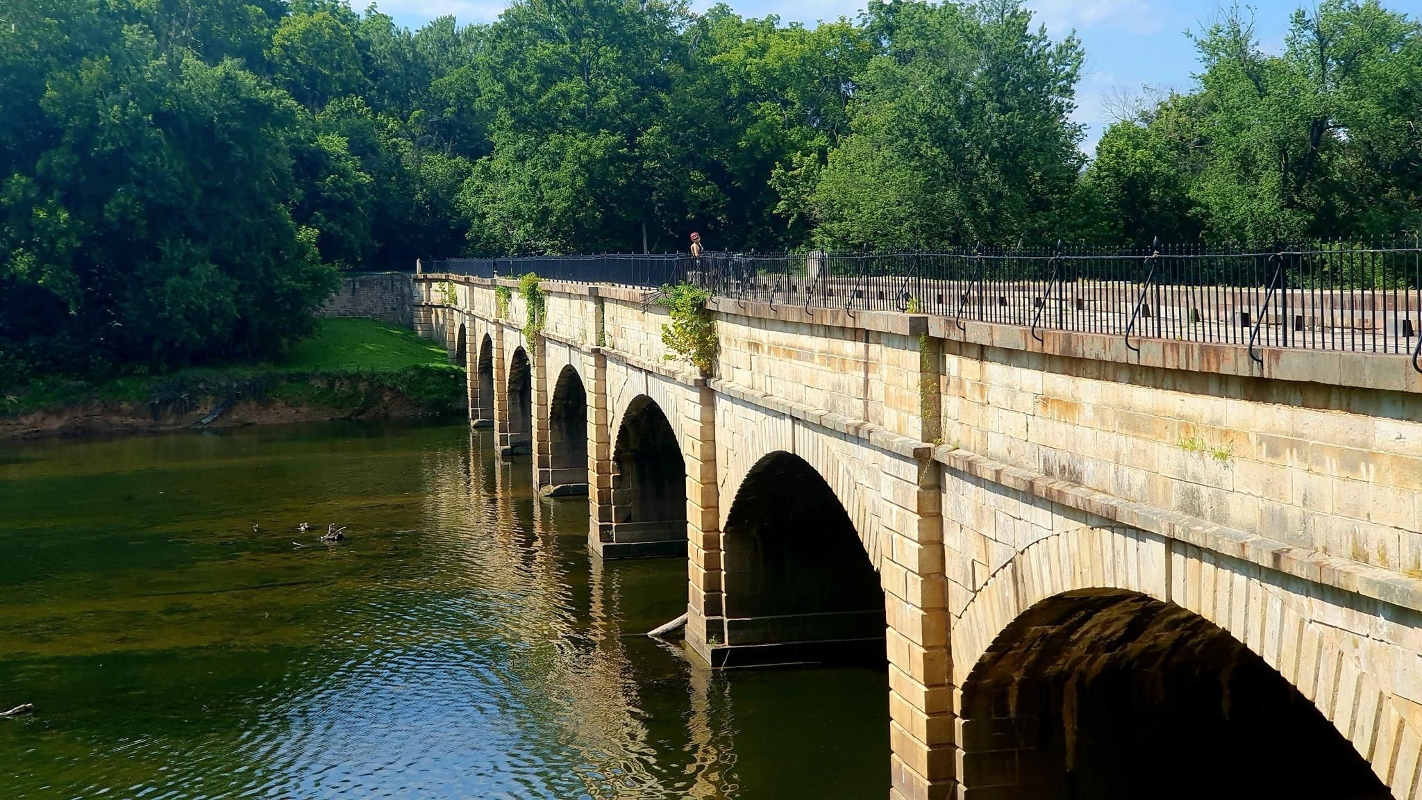
Potomac Heritage National Scenic Trail — Exploring a historic corridor
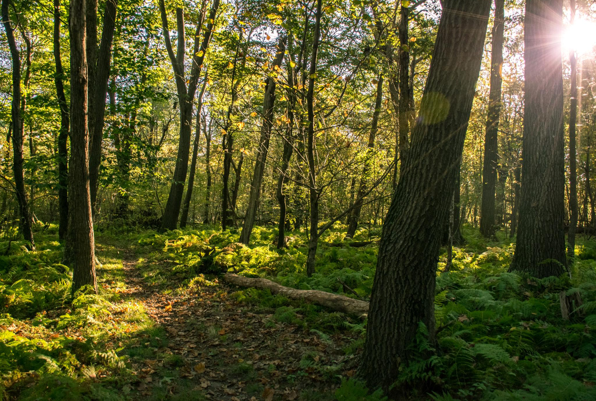
Laurel Highlands Hiking Trail — Miles of summits, streams, & shelters
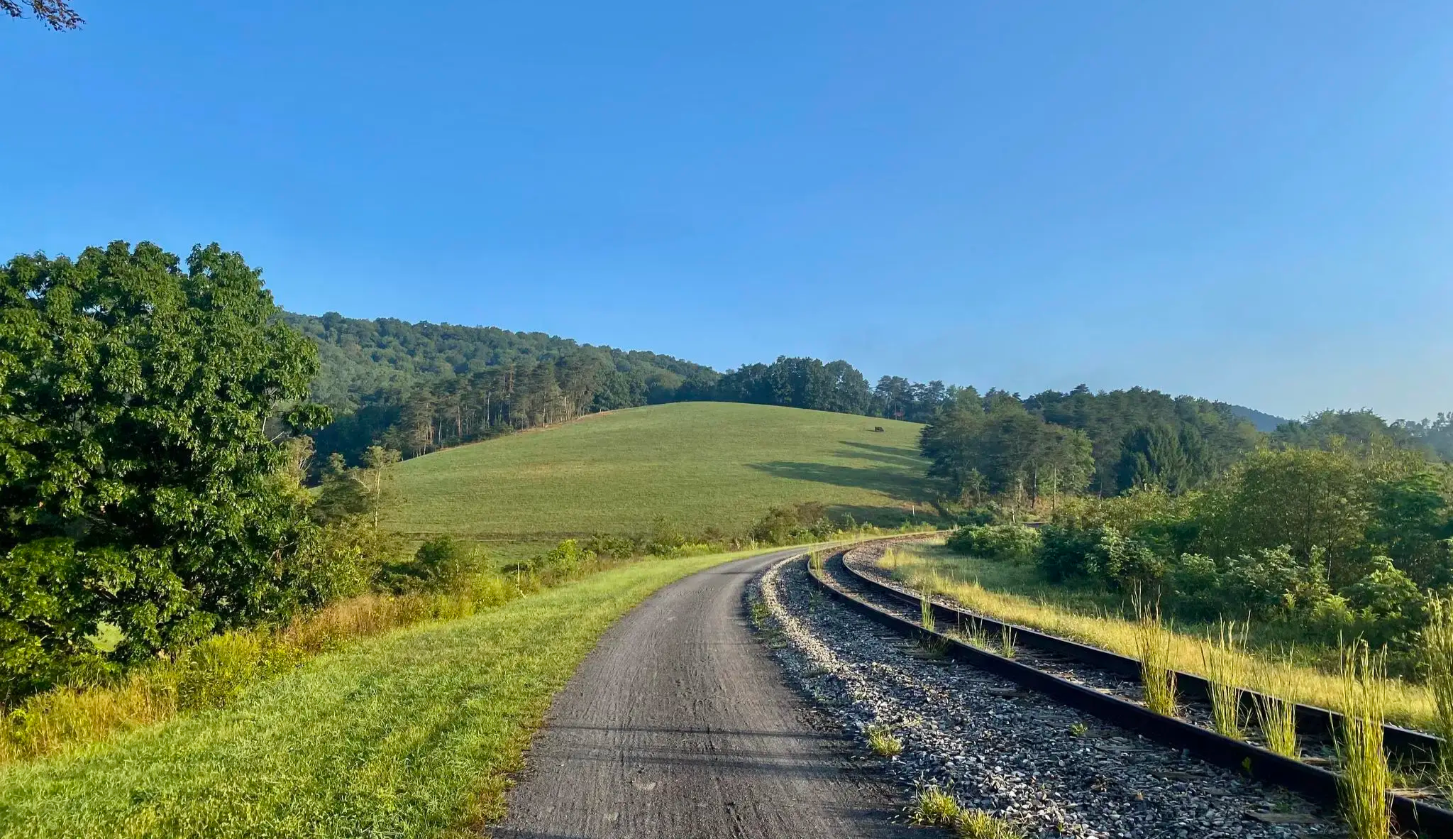
The Great Allegheny Passage — A scenic walk through the mountains of Southwest Pennsylvania
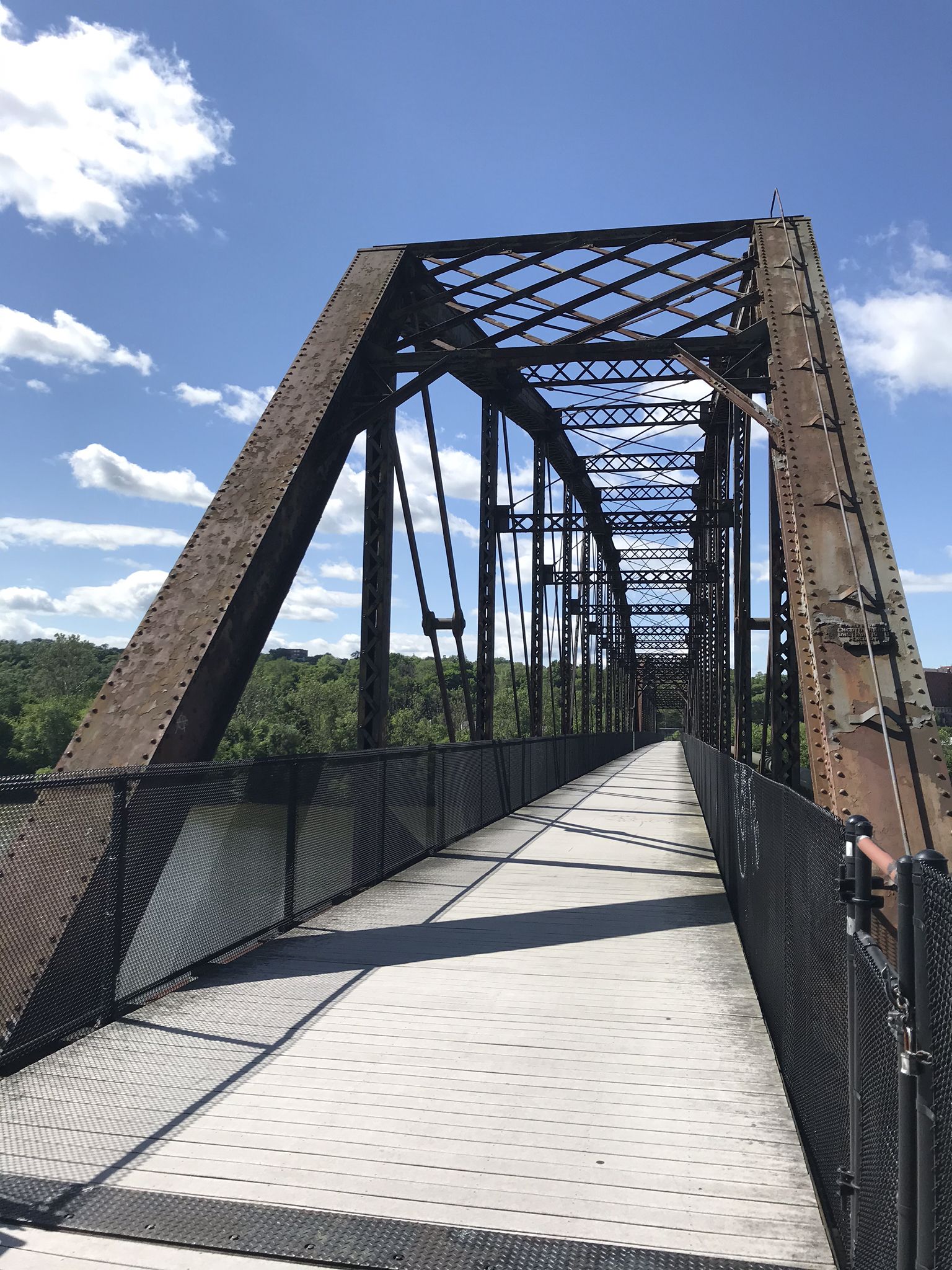
The Great Allegheny Passage — A rail trail adventure through Maryland and Pennsylvania

Hiking in Westmoreland County
Other adventures in Westmoreland County


Tips from the Community

The Connellsville Hiker-Biker Campground is a free campsite on the outskirts of Connellsville. It has space for 20-30 tents, four Adirondack shelters, and drinking water.
0
0
McKeesport is a historic city at the confluence of the Monongahela and Youghiogheny rivers. During the 20th century, it was an important hub of steel manufacturing and was the home of National Tube Works Company, which later become US Steel. The steel industry is no longer a main economic factor in the area, but the city is a popular stop along the GAP, because it has many restaurants, bars, and accommodation options.
0
1

Though Laurel Summit State Park is only 6 acres, the trails that start run for miles through Forbes State Forest and along the Laurel Ridge.
0
0

Heading out the Laurel Summit State park, you can choose different paths to go deep into the Forbes State Forest. One of them is the Wolf Rocks Trail, that will get you to the marvelous viewpoint at the end, where you can enjoy the dense trees and refreshing air.
0
0

The northern section of the Scouts Trail takes you from near North Pond to the intersection with the Rachel Carson trail. This section of the trail takes you through a lovely wooded area. Note that parts of the trail may be more overgrown in summer.
0
0

White Oak Park is a well-known recreational area that is spread across acres of green space. The park features a variety of amenities such as picnic areas, sport facilities, and playgrounds. In addition, it hosts a huge trail network for hiking, running, and biking.
0
0
Heading out the Laurel Summit State park, you can choose different paths to go deep into the Forbes State Forest. One of them is the Wolf Rocks Trail, that will get you to the marvelous viewpoint at the end, where you can enjoy the dense trees and refreshing air.
0
0
Located at the parking lot of Laurel Summit State Park, this trailhead will take you all the way up to Wolf Rocks, where the views will most certainly reward the effort as you approach the Parks Hill mountain side.
0
0
Frequently Asked Questions
What kind of terrain can I expect on mountain bike trails in Westmoreland County?
Westmoreland County offers a diverse landscape for mountain biking. You'll find trails winding through rolling hills, dense woodlands, and farmlands. The eastern part of the county, including Chestnut and Laurel Ridges within the Laurel Highlands, features more challenging topography with significant elevation changes, ranging from 1,300 to 2,800 feet above sea level in some areas. You can also experience forested floodplains and river views along trails like the Great Allegheny Passage.
Are there mountain bike trails for all skill levels in Westmoreland County?
Yes, Westmoreland County provides mountain biking opportunities for various skill levels. Out of the 22 available routes, 13 are rated as easy, 6 as moderate, and 3 as difficult. For instance, the Great Allegheny Passage offers gentle terrain, while areas like the Laurel Mountain/Forbes region provide more challenging singletrack routes.
Are there any long-distance mountain bike trails in Westmoreland County?
Yes, Westmoreland County is home to several longer routes. The Three Rivers Heritage Trail – Duquesne Bridge loop from Sutersville is a substantial ride covering over 60 miles (101 km). Another option is the Great Allegheny Passage – Murals on silos loop from Mount Pleasant, which spans over 43 miles (70 km).
What do other mountain bikers enjoy the most about mountain biking in Westmoreland County?
The mountain biking routes in Westmoreland County are highly rated by the komoot community, with an average score of 4.25 stars from more than 10 reviews. Mountain bikers often praise the diverse terrain, from gentle rail-trails to challenging singletrack, and the scenic beauty of the woodlands and river views.
Are there any family-friendly mountain bike trails in Westmoreland County?
Absolutely. Trails like the Great Allegheny Passage are known for their gentle terrain, making them suitable for families. Additionally, parks such as Twin Lakes Park offer trails like the Lakeside Trail, which is ideal for leisurely rides. The Westmoreland Heritage Trail and Five Star Trail also provide accessible, less challenging options.
Can I find circular mountain bike routes in Westmoreland County?
Yes, there are several excellent circular routes available. For example, the Blue & Green Trail loop and the Indian Hill, Boyce Park – Boyce Park loop from Boyce Park are popular choices that allow you to start and end at the same point.
Are there any scenic viewpoints or natural attractions along the mountain bike trails?
Westmoreland County offers numerous scenic spots. The Wolf Rocks – Laurel Summit State Park loop takes you near Wolf Rocks, an expansive cliffside with outstanding west-facing vistas. You can also find picturesque waterfalls like Mill Creek Falls and Adam Falls in Linn Run State Park, and unique ecosystems like Spruce Flats Bog. The Great Allegheny Passage offers scenic river views along the Youghiogheny River.
Are there any parks or natural areas to explore in Westmoreland County besides the trails?
Yes, Westmoreland County is rich in parks and natural areas. You can explore Linn Run State Park with its varied topography and mixed forests, or visit Laurel Summit State Park, which provides access to Forbes State Forest. Duff Park near Murrysville also offers a mix of flat and challenging trails, and Roaring Run Natural Area is another beautiful spot to discover.
Is parking available at the trailheads in Westmoreland County?
Most major parks and trail access points in Westmoreland County, such as Boyce Park, Keystone State Park, Linn Run State Park, and Cedar Creek Park (for the Great Allegheny Passage), offer designated parking facilities for visitors. It's always a good idea to check specific trail information for detailed parking instructions.
Can I access mountain bike trails using public transport in Westmoreland County?
While Westmoreland County has public transportation services, direct access to all mountain bike trailheads via public transport can be limited. The Great Allegheny Passage, for instance, has access points in towns like West Newton, which may be more accessible by local transport. For many trailheads, especially those in more remote state parks or forests, driving is often the most convenient option.
Are there any trails suitable for advanced mountain bikers looking for a challenge?
Yes, Westmoreland County offers challenging trails for experienced riders. The Scouts Trail Loop is rated as difficult, featuring significant elevation changes. The Laurel Mountain/Forbes area is also known for its challenging singletrack routes, providing a more technical and demanding experience for advanced mountain bikers.
What is the best time of year to go mountain biking in Westmoreland County?
The spring, summer, and fall months generally offer the best conditions for mountain biking in Westmoreland County. Spring brings lush greenery, while fall showcases vibrant foliage, making for particularly scenic rides. Summers are warm, but it's advisable to ride earlier in the day to avoid peak heat. Always check local weather and trail conditions before heading out, especially after rain, to ensure trails are not too muddy.
Most popular routes in Westmoreland County
Most popular attractions in Westmoreland County

Get inspired with the komoot mobile app


Didn’t find what you were looking for?
Check out more MTB trails throughout Westmoreland County below and find the perfect route in your destination.
Explore more
Browse the best MTB trails in other regions.
