The best cycling routes around Vråvatn
4.9
(35)
212
riders
13
rides
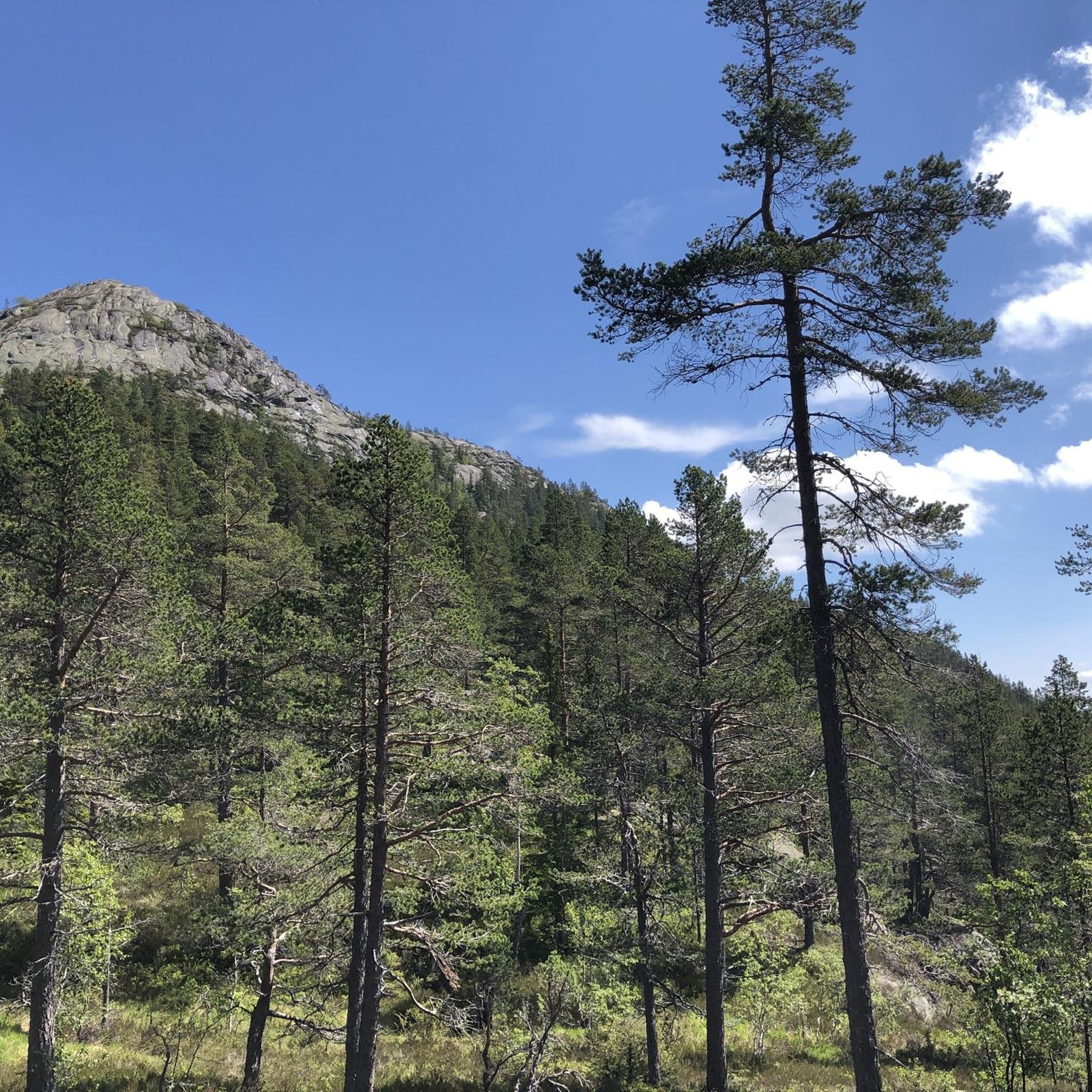
Touring cycling routes around Vråvatn are set within Norway's Telemark region, characterized by a "minialpine" mountainous topography, dense forests, and rugged terrain. The landscape features crystal-clear lakes, including Vråvatn, Nisser, and Bandaksvassdraget, which were shaped by the last Ice Age. This area offers a blend of tranquil gravel roads, forest paths, and low-traffic asphalt roads, providing varied riding experiences.
Best touring cycling routes around Vråvatn
- The most popular touring cycling route is Eidsborg Church – Vrådal Church loop from Osen…
Last updated: June 28, 2026
4.7
(15)
77
riders
41.8km
02:39
340m
340m
Moderate bike ride. Good fitness required. Mostly paved surfaces. Suitable for all skill levels.
9
riders
66.9km
04:49
1,280m
1,280m
Hard bike ride. Very good fitness required. Mostly paved surfaces. Suitable for all skill levels.

Sign up for free
5.0
(1)
10
riders
8.55km
00:39
70m
70m
Easy bike ride. Great for any fitness level. Mostly paved surfaces. Suitable for all skill levels.
5.0
(1)
8
riders
Hard bike ride. Very good fitness required. Mostly paved surfaces. Suitable for all skill levels.
4.7
(15)
77
riders
41.7km
02:32
330m
330m
Moderate bike ride. Good fitness required. Mostly paved surfaces. Suitable for all skill levels.
Get access to more routes and recommendations from other explorers.
Sign up for free
Already have an account?
Our route recommendations are based on thousands of hikes, rides, and runs completed by other people on komoot.
Start today with a free account
Your next adventure awaits.
Login or Signup
Popular around Vråvatn
Tips from the Community

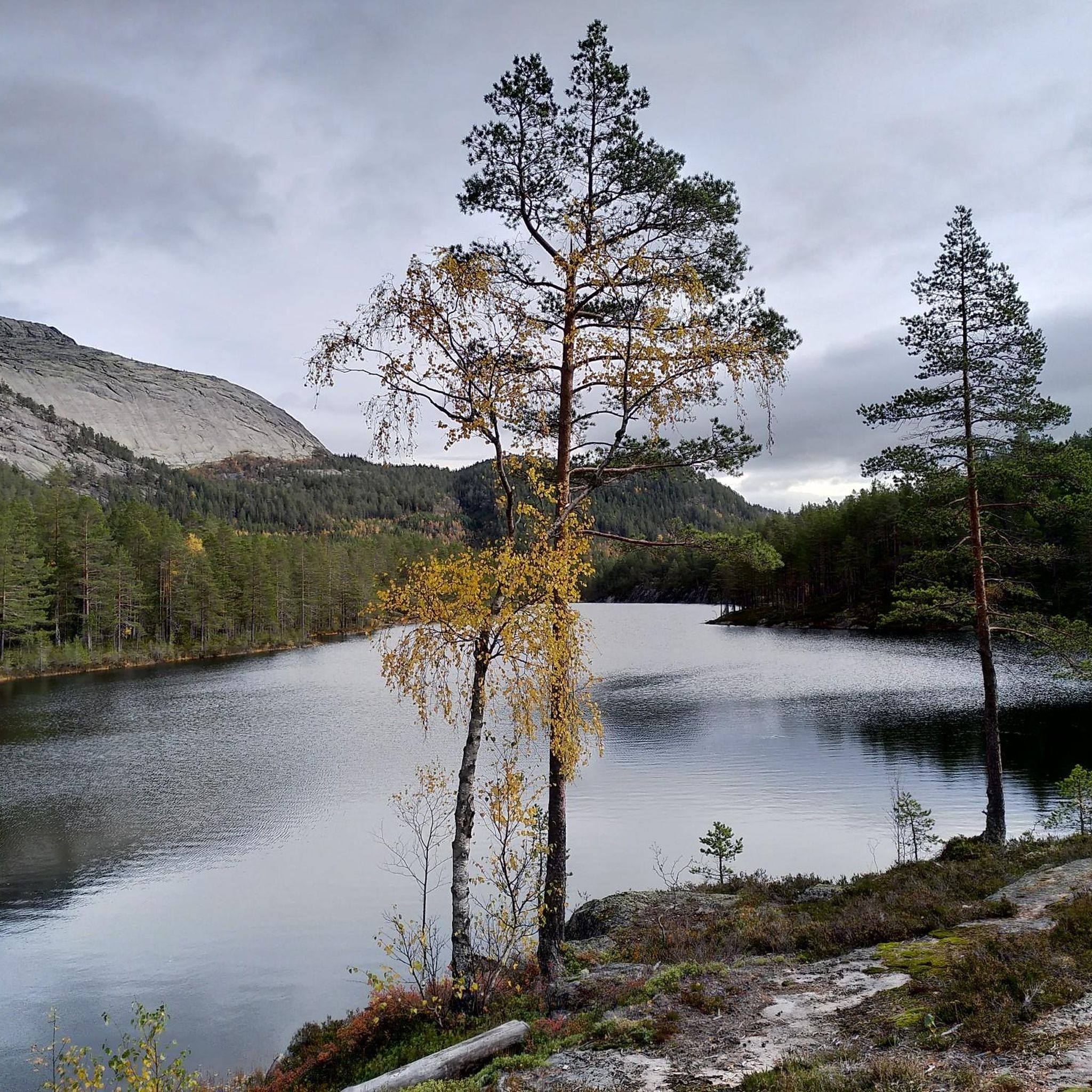
Lake Nisser is the largest lake in the Telemark region, known for its crystal-clear water and the smooth granite mountains that slope directly into its depths. The lake's diverse shoreline features numerous sandy beaches and small islands.
0
0

The Fjonevegen is a stunning road that runs alongside the Nisser. Here, a trail begins that leads up to Kronfjell.
0
0

Beautiful road to cycle along
0
0

You can stop here for a break, sit at the wooden tables, and admire the view. It's a great spot for lunch!
0
0

Kviteseid Bygdetun is an open-air museum located in Kviteseid, showcasing traditional buildings from the surrounding region. It offers a glimpse into historical ways of life and local architecture in Telemark.
0
0

Rest area with a great view of the valley. Traffic is okay, just a few trucks
0
0

The largest lake in Telemark and Norway's tenth largest inland lake. A well-developed road (unfortunately without a cycle path) leads directly along its shore, from which you have great views of the lake and the mountains on the other shore. There is a road less traveled on the west side of the lake. But then you have to use a small ferry in Fione to get on.
0
0
Small old wooden church on the outskirts of Nissedal
0
0
Frequently Asked Questions
How many touring cycling routes are available around Vråvatn?
Komoot features 13 touring cycling routes around Vråvatn. These routes cater to various skill levels, with 2 easy, 3 moderate, and 8 difficult options, ensuring there's a suitable ride for most cyclists.
What kind of terrain can I expect on touring cycling routes around Vråvatn?
The terrain around Vråvatn is diverse, characterized by a "minialpine" mountainous topography, dense forests, and rugged landscapes shaped by the last Ice Age. You'll encounter a mix of tranquil gravel roads, forest paths, and low-traffic asphalt roads. Routes can be hilly, especially sections of the National Cycle Route No. 2, offering both challenging climbs and scenic descents.
Are there any easy touring cycling routes suitable for beginners or families in Vråvatn?
Yes, Vråvatn offers some easier routes. For instance, the Sigrishaug – Laugarberget loop from Den vesle tjønni is an easy 8.6 km trail through forested areas, typically completed in under an hour. While the region is known for its more challenging, hilly terrain, there are options for those seeking a less strenuous ride.
What are some notable landmarks or natural features I might see while cycling around Vråvatn?
While cycling, you'll experience the stunning natural beauty of crystal-clear lakes like Vråvatn, Nisser, and Bandakvassdraget. You might pass by Fossøy, which features a golf course and swimming area. The historic Småstraum lock, Northern Europe's highest-situated lock, is another point of interest, often with a museum open when the veteran boat M/S Fram passes through. The old Vråliosen hotel and pensionat also stands as a notable historical building.
Can I combine cycling with a boat trip on the Telemark Canal?
Yes, a unique aspect of touring cycling in Vråvatn is the opportunity to combine your ride with a boat trip on the Telemark Canal. The veteran boat M/S Fram operates on the lakes Nisser and Vråvatn between May and October, allowing cyclists to experience the waterway from a different perspective and potentially bypass certain sections of the route.
What is the best time of year to go touring cycling in Vråvatn?
The best time for touring cycling in Vråvatn is typically from late spring to early autumn (May to October). During these months, the weather is generally favorable, and services like the M/S Fram boat trips are operational. Late summer and early autumn also offer the bonus of abundant blueberries and lingonberries for picking.
Are there any long-distance or multi-day touring cycling options in the Vråvatn area?
Yes, Vråvatn is part of the National Cycle Route No. 2, also known as the Telemark Canal Route. A significant 105 km section of this route, from Ulefoss to Dalen and passing through Vrådal, can be completed over two days. This route offers a blend of tranquil gravel roads, forest paths, and low-traffic asphalt roads, ideal for multi-day touring, though it is hilly and best suited for experienced cyclists.
What do other touring cyclists say about the routes in Vråvatn?
The touring cycling routes in Vråvatn are highly rated by the komoot community, with an average score of 4.9 stars from over 30 reviews. Cyclists often praise the region's "minialpine" mountainous topography, historic waterways, and serene lakes, highlighting the varied terrain and integrated experiences available.
Where can I find bike rentals or accommodation in the Vråvatn area?
Bike rentals are available at Straand Hotel in Vrådal, which also serves as a convenient base for exploring the region's cycling routes through the "HUBRiding" concept. Accommodations, including hotels and camping sites, are generally available along the Telemark Canal Route, offering places to rest for multi-day tours.
Are there any challenging touring cycling routes for experienced riders?
Absolutely. Vråvatn offers several challenging routes. For example, the Kviteseid Bygdetun – Picnic Area With Lake View loop from Vrådal skisenter is a difficult 67 km path featuring significant elevation gain and expansive lake views. Another demanding option is the Nissedal Church – Scenic Road Along Lake Nisser loop from Vrådal skisenter, a 99 km route with considerable elevation changes.
Is it possible to cycle around Vråvatn lake itself?
Yes, a popular local route is the "Vråvatn rundt" loop, which typically ranges from 42.5 km to 45.8 km. This route is mostly paved (around 83%) with some unpaved sections, offering both a good workout and a picturesque journey around the lake.
Are there any specific considerations for groceries or services when touring cycling in Vråvatn?
Cyclists should be aware that availability of groceries and other services can be limited on some stretches, particularly between Vrådal and Dalen. It's advisable to plan ahead and carry sufficient supplies, especially if embarking on longer tours, to account for the more secluded nature of parts of the touring experience.

Get inspired with the komoot mobile app


Explore more
Browse the best Cycling routes in other regions.
