The best walks and hikes around Reddalsvannet
4.7
(253)
1,023
hikers
55
hikes
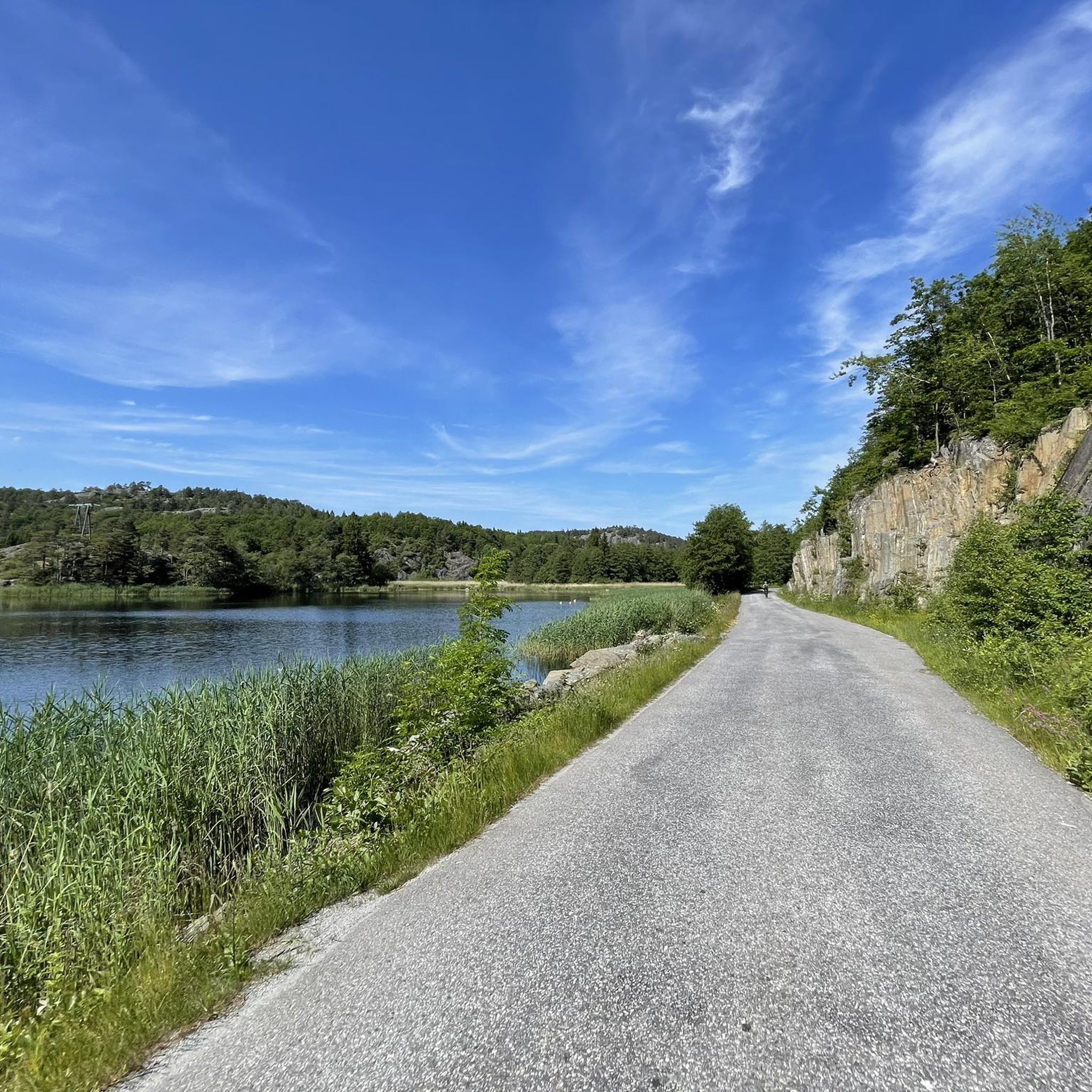
Hiking around Reddalsvannet offers trails within a significant nature reserve located in Agder, Norway. The area is characterized by the lake itself, which is connected to the sea via the Reddal Canal, and its surrounding natural habitats. While primarily recognized for its birdlife, the region provides accessible paths for exploring the local environment. The terrain generally features gentle elevations, with nearby hills like Rossefjellet offering modest ascents.
Best hiking trails around Reddalsvannet
- The most popular hiking route is Bjønneskotet loop…
Last updated: June 25, 2026
4.8
(5)
14
hikers
4.91km
01:31
170m
170m
Easy hike. Great for any fitness level. Easily-accessible paths. Suitable for all skill levels.
4.8
(33)
95
hikers
5.07km
01:26
110m
110m
Easy hike. Great for any fitness level. Easily-accessible paths. Suitable for all skill levels.

Sign up for free
4.7
(11)
32
hikers
4.57km
01:15
70m
70m
Easy hike. Great for any fitness level. Easily-accessible paths. Suitable for all skill levels.
4.7
(3)
7
hikers
8.86km
02:23
110m
110m
Moderate hike. Good fitness required. Easily-accessible paths. Suitable for all skill levels.
4.5
(13)
39
hikers
Easy hike. Great for any fitness level. Easily-accessible paths. Suitable for all skill levels.
Get access to more routes and recommendations from other explorers.
Sign up for free
Already have an account?
Our route recommendations are based on thousands of hikes, rides, and runs completed by other people on komoot.
Start today with a free account
Your next adventure awaits.
Login or Signup
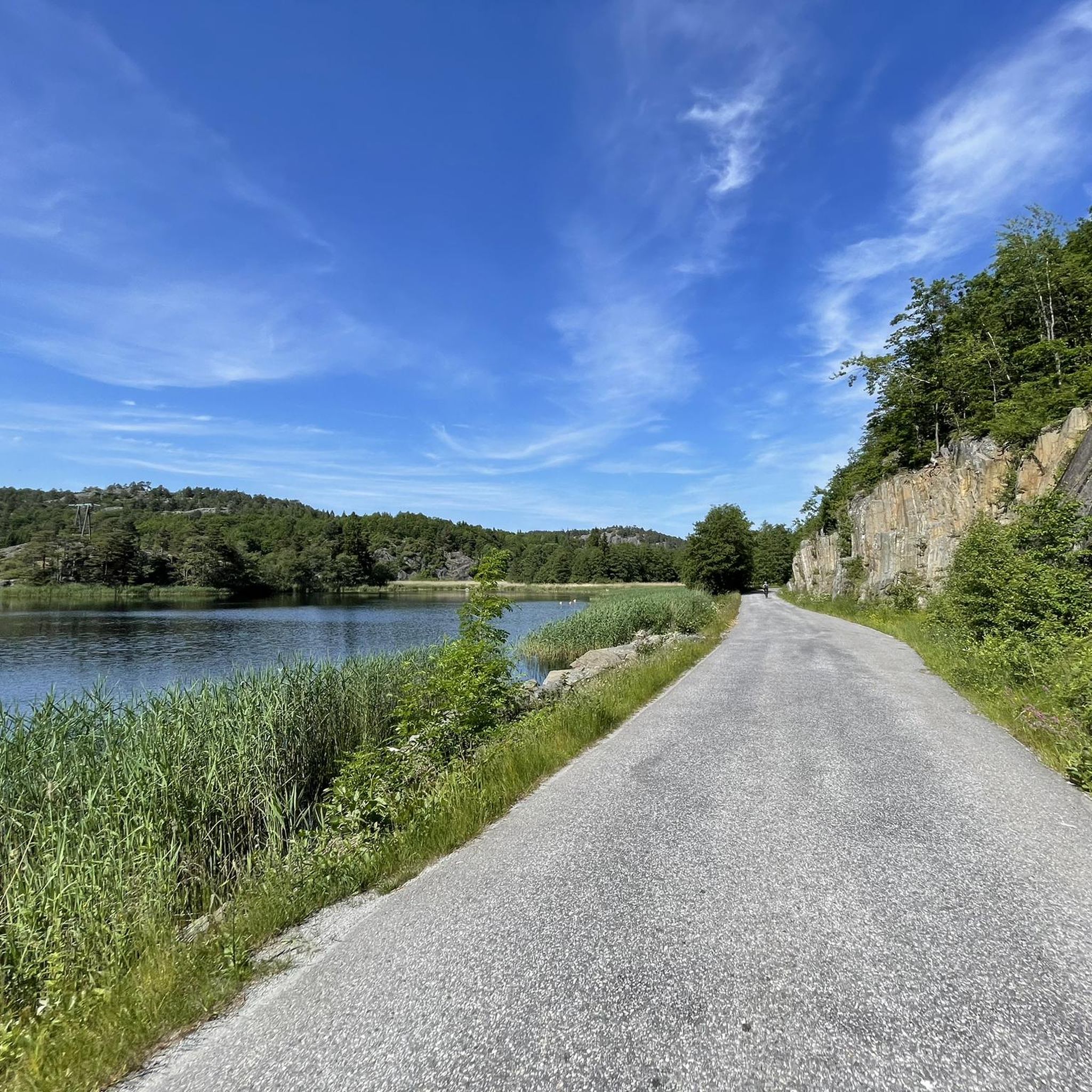
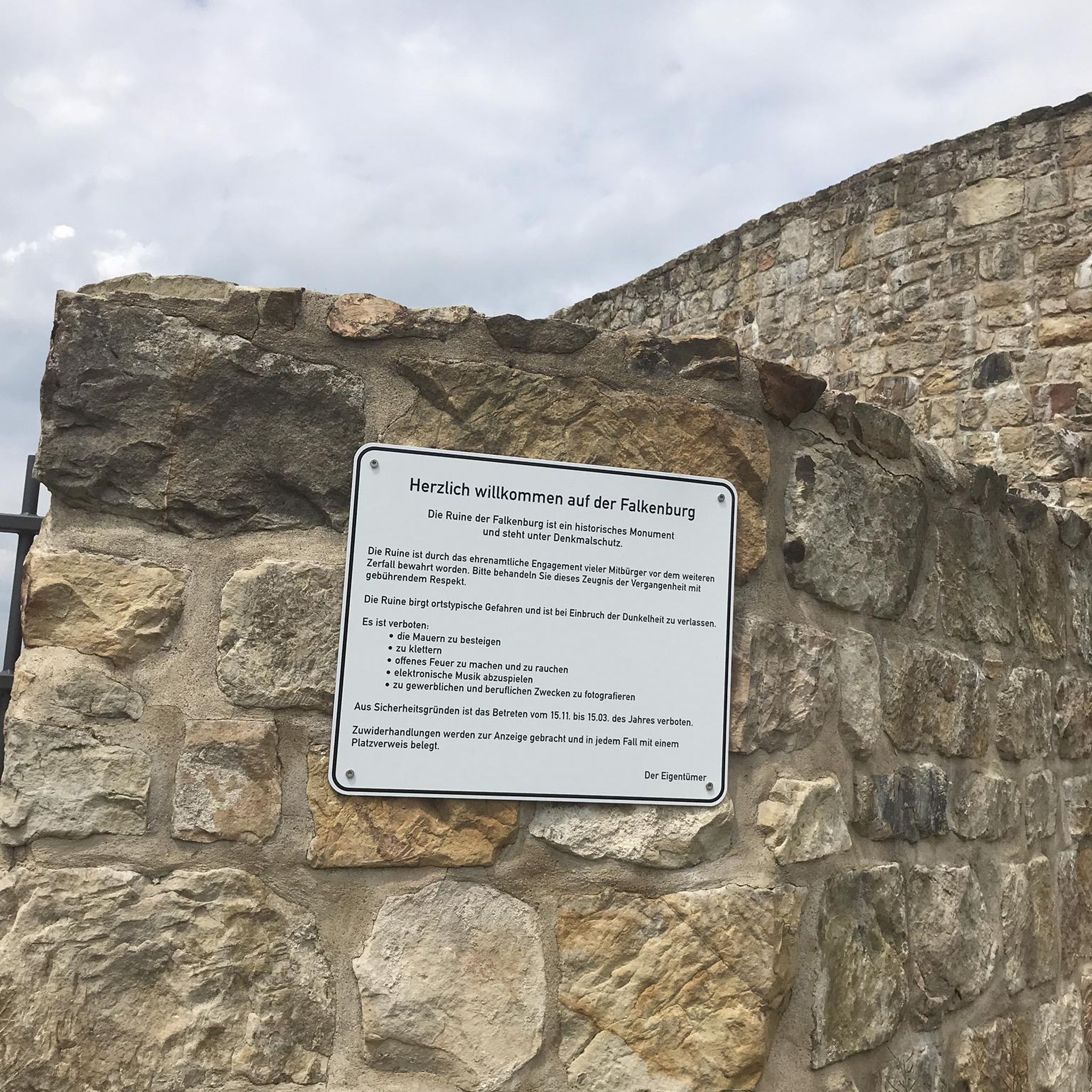
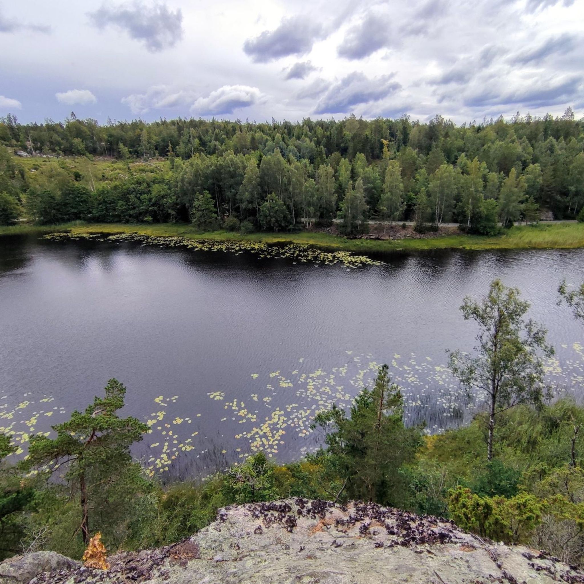
Tips from the Community

Great view of Austre Grimevannet. The clouds and small islands are reflected in the lake. A highlight for the eyes. Norway is simply beautiful.
0
0

The trail to the top follows natural, sometimes rocky terrain with steady climbs and uneven sections that add a bit of challenge along the way.
0
0
Beautiful new cabin on Kniben with a beautiful view of the surrounding area and the archipelago. The cabins are open and available to everyone. Something like this wouldn't be possible in Germany. Vandalism, etc.
0
0

Beautiful walk through the forest, sturdy shoes or hiking boots as you also walk over stones and roots.
0
0

Very nice destination for a hike
0
0
Nice to hike here
0
0

There is a great hiking hut available!
0
0
Frequently Asked Questions
How many hiking trails are available around Reddalsvannet?
There are nearly 60 hiking routes available around Reddalsvannet, offering a variety of options for exploring the area. The majority of these trails are rated as easy or moderate.
What is the typical difficulty level of hikes in the Reddalsvannet area?
Most of the routes around Reddalsvannet are considered easy (42 routes) or moderate (16 routes), making the area accessible for various fitness levels. There are no difficult routes listed in this guide.
What kind of nature and wildlife can I expect to see around Reddalsvannet?
Reddalsvannet is a significant nature reserve, primarily recognized for its rich birdlife. You can observe mute swans, various duck species, and birds like the reed bunting, garden warbler, and reed warbler, especially within its lush reed belt. The area is also connected to the sea via the historic Reddal Canal.
Are there any circular hiking routes around Reddalsvannet?
Yes, there are several circular routes available. For example, the Bjønneskotet loop from Rossefjellet naturreservat is a popular 5.9 km circular trail that takes you through the natural reserve.
Are the hiking trails around Reddalsvannet suitable for families with children?
Given that 42 of the 58 routes are rated as easy, many trails around Reddalsvannet are suitable for families. The gentle elevations and nature reserve environment provide a pleasant setting for walks with children. Consider routes like the Summit hike Rossefjellet for a manageable family outing.
Can I bring my dog on the hiking trails in Reddalsvannet?
While dogs are generally welcome on trails, Reddalsvannet is a sensitive nature reserve with significant birdlife. It's crucial to keep dogs on a leash at all times to protect the wildlife, especially during nesting seasons. Always check local signage for specific regulations or restrictions.
What do other hikers enjoy most about hiking in Reddalsvannet?
The area is highly rated by the komoot community, with an average score of 4.8 stars from over 240 reviews. Hikers often praise the serene lake views, the peaceful natural reserve environments, and the accessible paths through local hills.
Are there any specific landmarks or points of interest to look out for?
While the primary focus is the lake and its birdlife, the Reddal Canal, an important historical connection to the sea, is a notable feature. The nearby Einerfjell in Reddal is also a point of interest in the broader region.
Are there any trails that feature waterfalls?
Yes, some routes in the wider area include waterfalls. For instance, the View from Kniben – Waterfall loop from Kaldvell is an easy 5 km trail that incorporates a waterfall.
What is the best time of year to hike around Reddalsvannet?
The best time to hike around Reddalsvannet is generally during spring, summer, and early autumn when the weather is mild and the birdlife is most active. Winter hiking is possible, but conditions can vary, and some paths might be icy or muddy.
Is there parking available near the trailheads?
Specific parking information for individual trailheads is best found on the detailed route pages. However, as a nature reserve, there are typically designated parking areas to access the trails. Always look for official parking to avoid disturbing the natural environment.
How can I get to Reddalsvannet using public transport?
Reddalsvannet is located approximately 7 km north of Grimstad town center. While specific public transport routes directly to the reserve might be limited, local bus services to Grimstad or nearby areas would be the primary option, followed by a shorter taxi ride or walk. It's advisable to check local bus schedules for the most current information.
Are there any cafes or places to eat near Reddalsvannet after a hike?
Reddalsvannet is primarily a nature reserve, so immediate facilities like cafes directly at the lake are limited. For dining options, you would typically need to head towards Grimstad town center, which offers a selection of cafes and restaurants.
Most popular routes around Reddalsvannet

Get inspired with the komoot mobile app


Explore more
Browse the best Hikes in other regions.
