The best road cycling routes around Nanaimo G
5.0
(2)
182
riders
13
rides
Road cycling routes around Nanaimo G traverse diverse landscapes, from extensive paved multi-use trails to scenic loops through natural environments. The region features coastal areas, dense forests, and picturesque lakes, offering varied terrain for cyclists. Paved pathways and dedicated cycling lanes connect urban centers with natural attractions. The area provides options for different cycling preferences, from leisurely rides to more challenging routes.
Best road cycling routes around Nanaimo G
- The most popular road cycling route is Ice Cream Stop –…
Last updated: October 8, 2026
25
riders
72.2km
03:35
680m
680m
Moderate road ride. Good fitness required. Mostly well-paved surfaces and easy to ride.
25
riders
41.5km
02:12
440m
440m
Moderate road ride. Good fitness required. Mostly well-paved surfaces and easy to ride.

5.0
(1)
12
riders
28.8km
01:24
200m
200m
Moderate road ride. Great for any fitness level. Some segments of this route may be unpaved and difficult to ride.
13
riders
Moderate road ride. Good fitness required. Mostly well-paved surfaces and easy to ride.
9
riders
Moderate road ride. Good fitness required. Some segments of this route may be unpaved and difficult to ride.
Get access to more routes and recommendations from other explorers.
Already have an account?
Our route recommendations are based on thousands of hikes, rides, and runs completed by other people on komoot.
Start today with a free account
Your next adventure awaits.
Popular around Nanaimo G
Tips from the Community

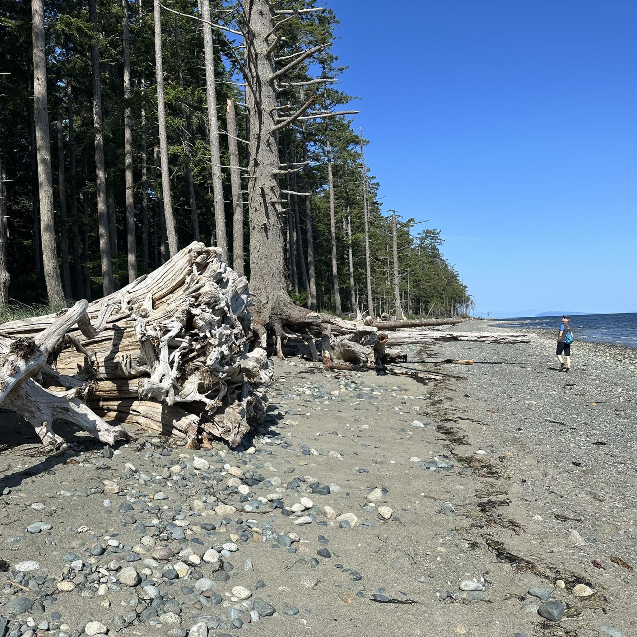
Parksville is famous for its broad sandy beaches, where the tide can recede nearly a kilometre at low tide, exposing vast sand flats along the Salish Sea. Originally established as a railway town in the late 1800s, it's now one of Vancouver Island's best-known seaside destinations and the home of the annual Parksville Beach Festival sand sculpting competition.
0
0
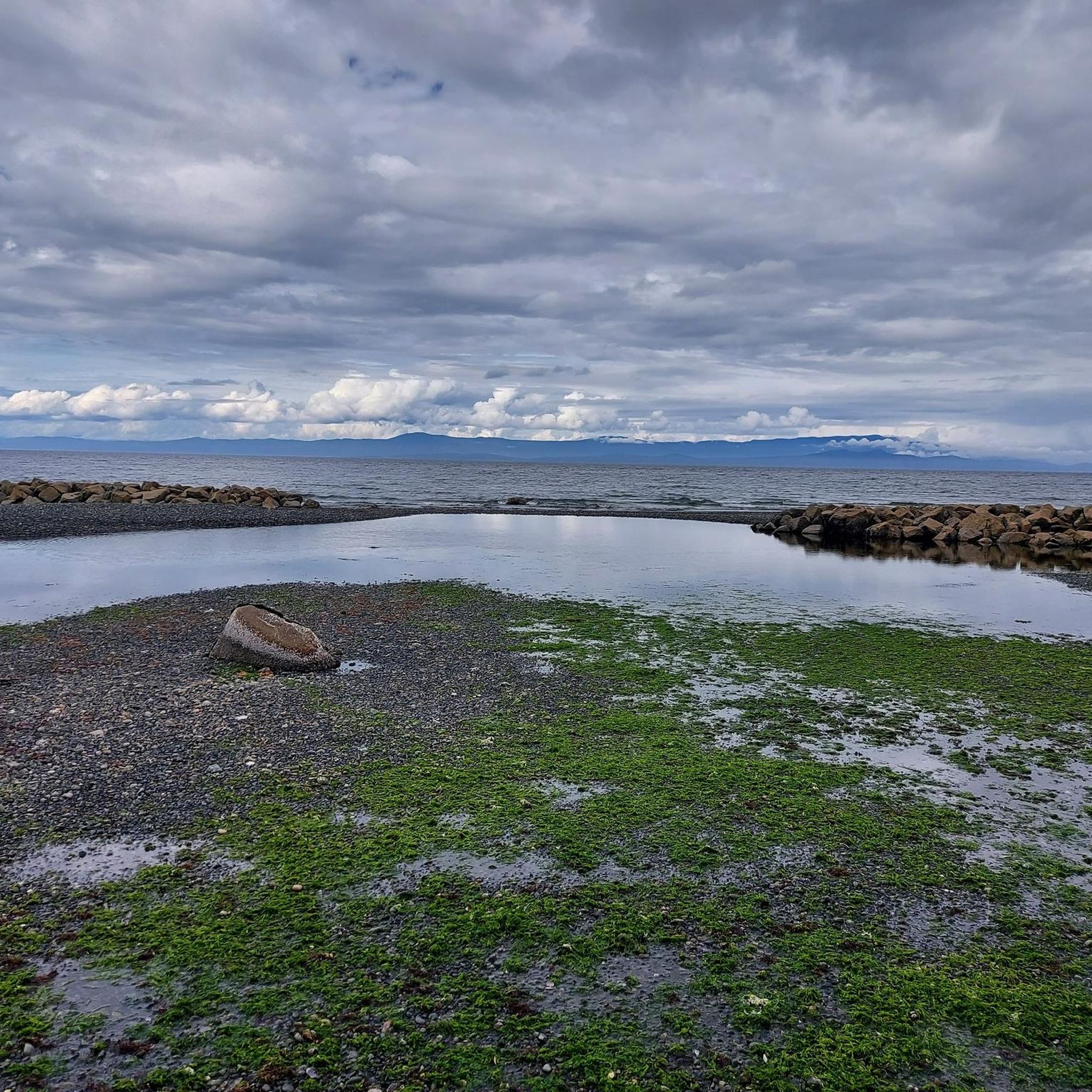
French Creek Community Park sits beside the harbour overlooking the Strait of Georgia, with views across the water to the Coast Mountains on clear days. It's a great place to watch fishing boats and pleasure craft coming and going from one of Vancouver Island's busiest fishing ports.
0
0

This park on the edge of Parksville has multiple sports fields, a concession stand, and is a hub for local trails, including the 7 kilometre Coombs to Parksville rail trail. There's also two off-leash dog areas with water for dogs.
0
0
This wide, level, gravel trail covers the seven kilometres between Coombs and Parksville. The path is level and multi-use so most users will find the way easy, whether they're going for a short out and back hike or travelling the full way.
0
0
This small town has a lot of unique charm that you can't find anywhere else. The main attraction is the Old Country Market, which is probably more commonly known as Goats on the Roof, because...there's goats on the roof of course. Inside you'll find unique gift and home decor items as well as a varied selection of groceries. The town also has "Butterfly World" which is an indoor tropical rainforest designed to be a sanctuary for a wide range of butterfly species.
0
0

This extension of the Hoylake Pathway is to the west and follows Hoylake Road closely. The roadside section of trail is out of the woods but then dips back into the woods and follows Grandon Creek out to the sea.
0
0

Qualicum Beach Heritage Forest is 50 acres of old-growth forest with some trees over 500 years in age. The well-marked, mulched trails make for an easy outing.
0
0

A cute little museum, made with a lot of love. Next door is the former train station with a steam locomotive.
1
0
Frequently Asked Questions
How many road cycling routes are available in Nanaimo G?
Nanaimo G offers a diverse selection of road cycling routes. You'll find over 10 routes, ranging from easy to moderate difficulty, perfect for exploring the region's varied landscapes.
What kind of terrain can I expect on road cycling routes around Nanaimo G?
Road cycling in Nanaimo G features a mix of landscapes. You'll encounter extensive paved multi-use trails like the Parkway Trail and E&N Rail Trail, scenic loops through coastal areas, dense forests, and picturesque lake regions. The city also has dedicated cycle lanes in its downtown core, connecting to existing trails.
Are there road cycling routes suitable for families or beginners in Nanaimo G?
Yes, Nanaimo G offers several family-friendly and beginner-suitable options. Paved multi-use trails such as the Parkway Trail and the Trans Canada Trail are ideal for all ages and abilities, providing car-separated pathways. The Waterfront Walkway also offers a pleasant, slower-paced ride.
What are some notable natural features or landmarks I can see while road cycling in Nanaimo G?
Many routes offer stunning views and access to natural wonders. You can cycle past the picturesque Englishman River, explore areas near Qualicum Falls, or discover the ancient trees at The Big Tree (Douglas-fir) in MacMillan Provincial Park. Coastal routes often provide panoramic ocean views and opportunities to spot marine wildlife.
Are there any loop routes for road cycling in Nanaimo G?
Yes, Nanaimo G has several excellent loop routes. For instance, the Ice Cream Stop – Rocky Coastal Viewpoint loop from Qualicum Beach offers coastal views over 72 km. Another option is the Pool – Englishman River loop from Temple at Soriel (NB), a moderate 42 km path through varied local scenery.
What is the best time of year for road cycling in Nanaimo G?
Nanaimo G is a great destination for road cycling year-round due to its temperate climate. Spring and fall offer pleasant temperatures and vibrant scenery. Even in winter, the temperate rainforests are enchanting, and seasonal waterfalls can be seen, with some trails offering sheltered sections.
Are there any challenging road cycling routes in Nanaimo G for experienced riders?
While many routes are moderate, experienced riders can find longer loops with more elevation gain. The Ice Cream Stop – Rocky Coastal Viewpoint loop from Qualicum Beach, for example, covers over 72 km with nearly 700 meters of elevation, providing a good challenge.
Can I access road cycling trails in Nanaimo G using public transport?
Nanaimo has made efforts to connect its cycling infrastructure. Dedicated cycle lanes in the downtown core link to major trails like the E&N Rail Trail, which can be accessed via local bus routes. It's advisable to check specific bus routes and their bike-carrying policies for direct access to trailheads.
Are there cafes or pubs accessible from road cycling routes in Nanaimo G?
Yes, especially along popular routes and in urban areas. The Waterfront Walkway, for instance, is lined with cafes and shops. Many routes pass through or near towns like Qualicum Beach and Parksville, offering opportunities for refreshment stops. The region research also mentions bike-friendly cafes and pubs near trails like the Parkway Trail and E&N Trail.
What do other cyclists say about road cycling in Nanaimo G?
The road cycling routes in Nanaimo G are highly rated by the komoot community, with an average score of 5.0 stars from numerous reviews. Cyclists often praise the diverse landscapes, from coastal paths to dense woodlands, and the variety of options for different ability levels.
Are there any specific attractions or points of interest near the road cycling routes?
Absolutely. Beyond the natural beauty, you can find attractions like the Old Country Market, which is a unique stop. The region also boasts cultural sites like Petroglyph Provincial Park and historical sites such as Morden Colliery Historic Park, which can be incorporated into your rides.
Are there any coastal road cycling routes in Nanaimo G?
Yes, Nanaimo G is known for its stunning coastal cycling opportunities. Routes like the Ice Cream Stop – Rocky Coastal Viewpoint loop from Qualicum Beach offer extensive coastal views. The Waterfront Walkway also provides a pleasant ride along the harbor, and areas like Neck Point Park and Pipers Lagoon Park feature trails along rugged coastlines.
Most popular attractions around Nanaimo G

Get inspired with the komoot mobile app


Explore more
Browse the best Road cycling routes in other regions.
