The best running trails around Saanich
4.6
(30)
1,386
runners
153
runs
Jogging around Saanich offers access to an extensive park system and diverse natural landscapes. The region features over 100 kilometers of trails, winding through urban forests, along lakefronts, and up to scenic viewpoints. Runners can explore areas characterized by towering Douglas firs, Garry oak meadows, and coastal paths, providing varied terrain for all levels. The landscape includes numerous parks and natural areas, offering a fresh air experience for outdoor activities.
Best jogging routes around Saanich
- The most popular jogging route is Eagle Beach – Hamsterly Beach loop from Cordova Bay, a 6.6 miles (10.6 km) trail that takes about 1 hour 9 minutes to complete, offering varied terrain near the coast.
- Another top favourite among local runners is King's Pond loop from St. Michaels University School, a moderate 3.4 miles (5.4 km) path through a pleasant park setting.
- Local runners also love the Running loop from Saanich, a 3.7 miles (6.0 km) trail leading through local green spaces, often completed in about 40 minutes.
- Jogging around Saanich is defined by extensive urban forests, panoramic hill views, and lakefront trails. The network offers options for different ability levels, from leisurely runs to more challenging ascents.
- The routes in Saanich are highly rated by the komoot community with an average score of 4.4 stars from over 20 reviews. More than 1200 runners have used komoot to explore Saanich's varied terrain.
Last updated: September 4, 2026
5.0
(1)
78
runners
5.42km
00:36
70m
70m
Moderate run. Good fitness required. Mostly paved surfaces. Suitable for all skill levels.
5.0
(1)
73
runners
6.03km
00:40
70m
70m
Moderate run. Good fitness required. Mostly paved surfaces. Suitable for all skill levels.

Sign up for free
5.0
(1)
61
runners
12.4km
01:28
340m
340m
Hard run. Very good fitness required. Mostly paved surfaces. Suitable for all skill levels.
48
runners
Hard run. Very good fitness required. Mostly paved surfaces. Suitable for all skill levels.
39
runners
5.74km
00:37
40m
40m
Moderate run. Good fitness required. Mostly paved surfaces. Suitable for all skill levels.
Get access to more routes and recommendations from other explorers.
Sign up for free
Already have an account?
Our route recommendations are based on thousands of hikes, rides, and runs completed by other people on komoot.
Start today with a free account
Your next adventure awaits.
Login or Signup
Tips from the Community

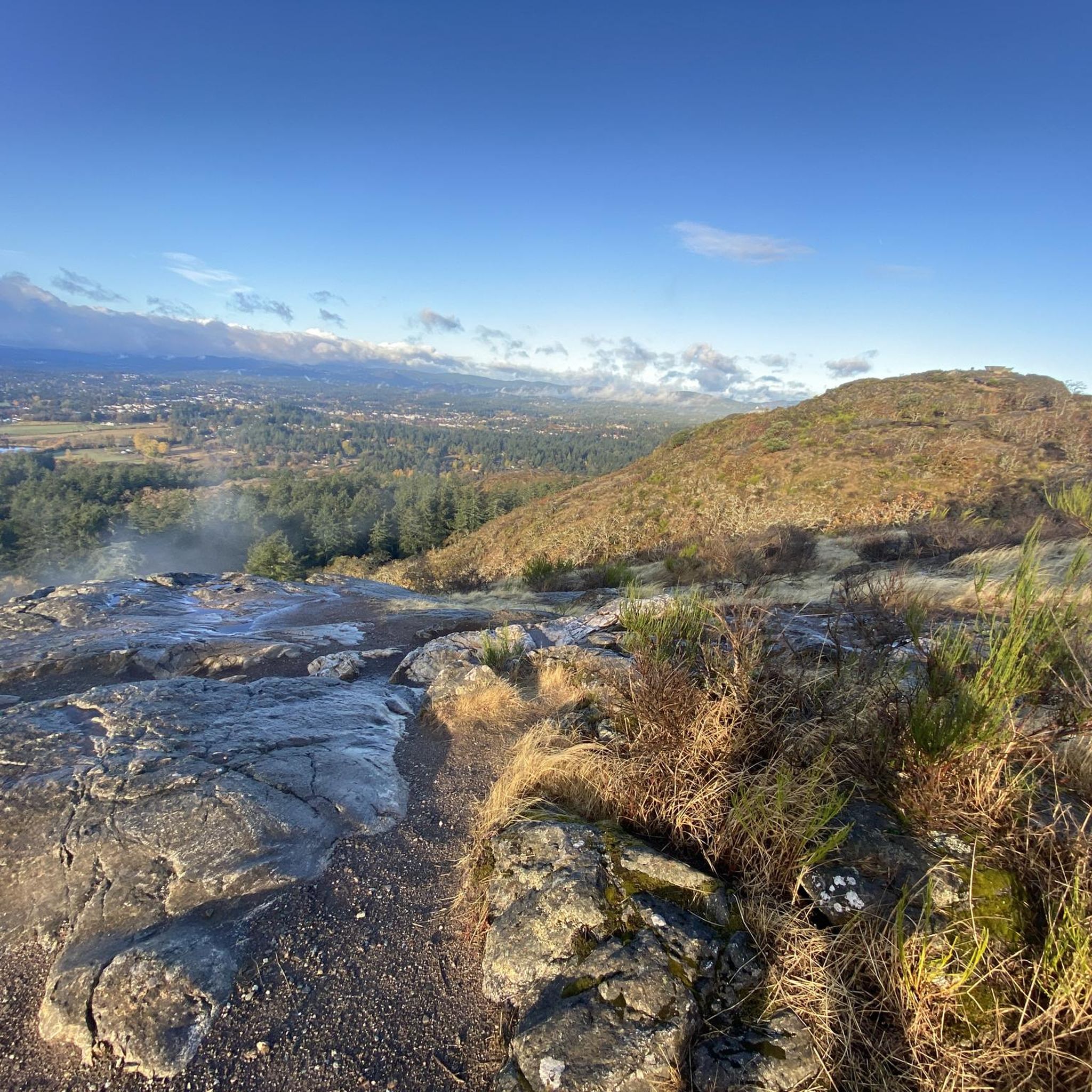
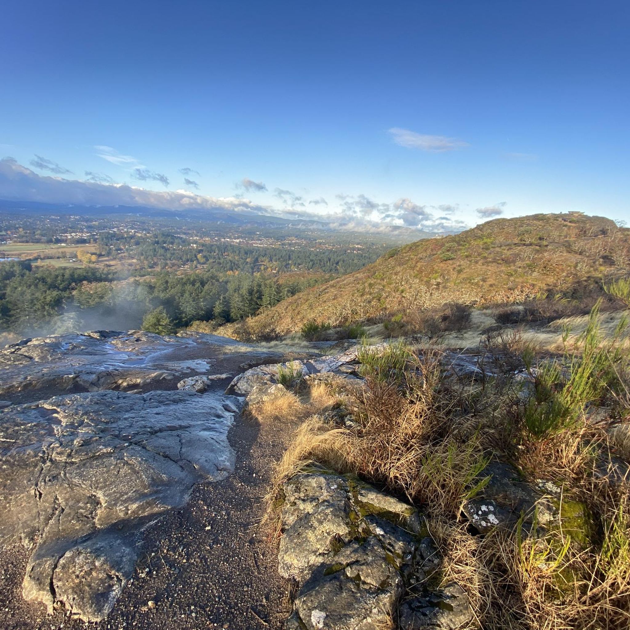
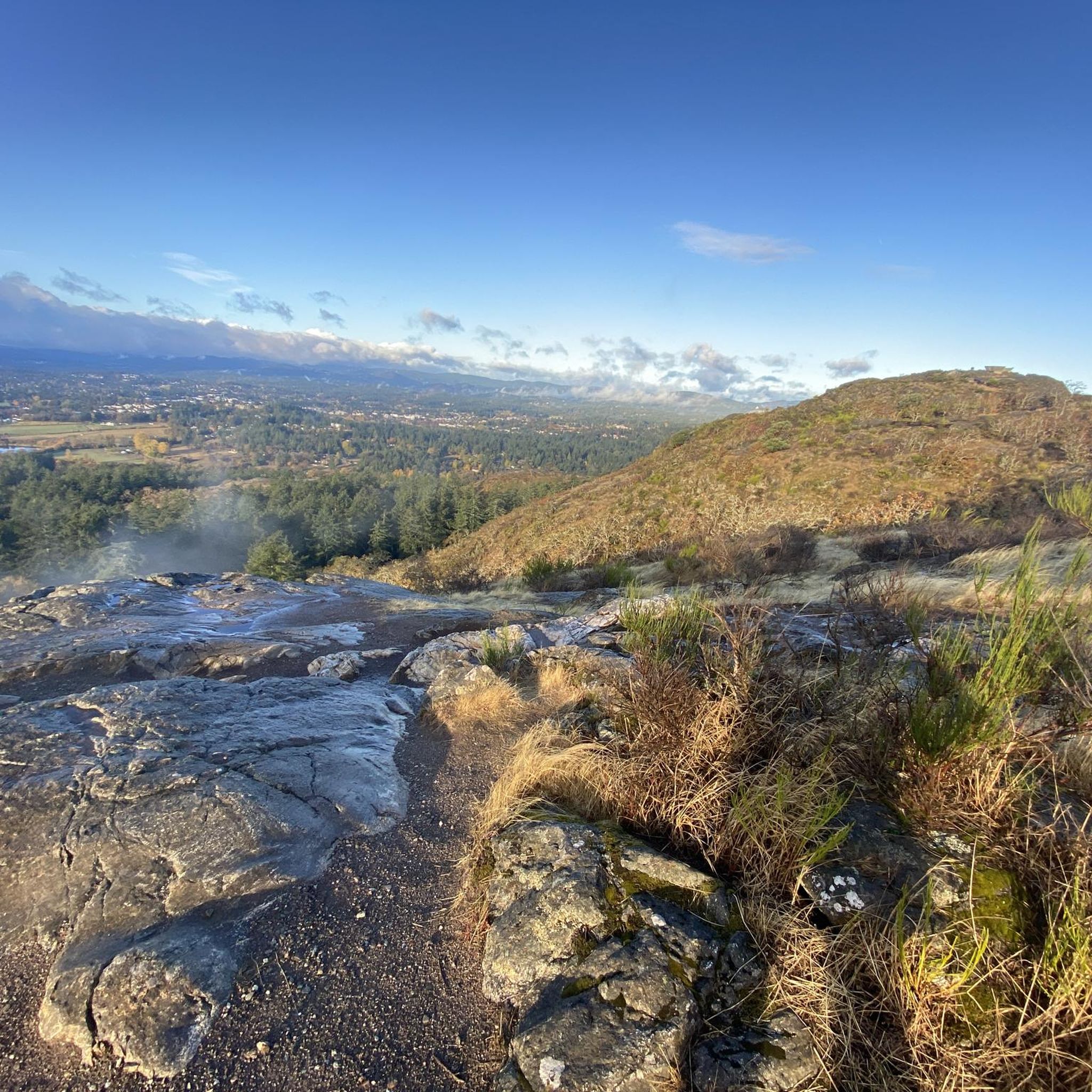
This vantage point gives you a beautiful southeast view over Victoria, with the backdrop of the Olympic Mountains behind the city across the water. From this rocky summit, you can spot Mount Baker to the east and McKenzie Lake tucked into the forest below. It's a short climb that rewards you with an expansive sky, layered ridgelines, and a panoramic view of the southern tip of the island spread out before you.
0
0
Elk Lake is a deep, freshwater lake connected to Beaver Lake by a narrow channel. Known for its calm surface and consistent winds, it’s a training ground for competitive rowing and a favorite for paddling and fishing. Surrounded by forest and part of a larger regional park, it's a great place for a quiet escape just minutes from Victoria.
0
0

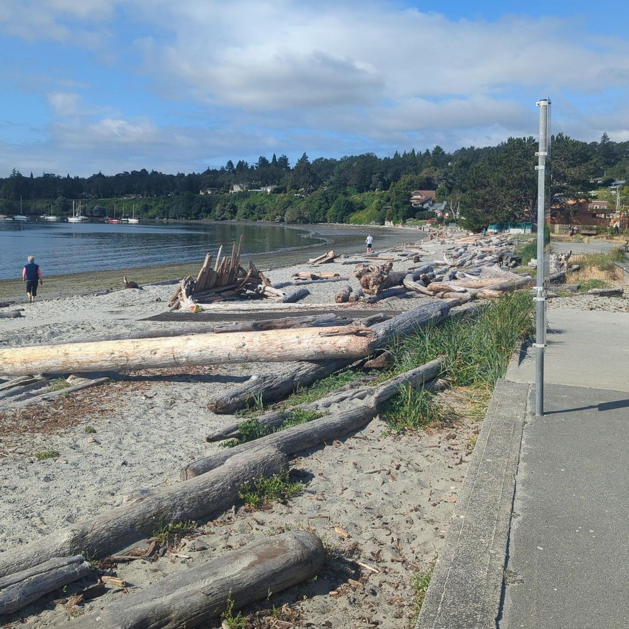
At the southern tip of Thetis Lake, just a few steps from the parking lot, there is a small beach. All around you will find toilets, showers and picnic tables.
1
0

Good trail to start with, easy route and good paths. And the view of Victoria is spectacular!
0
0

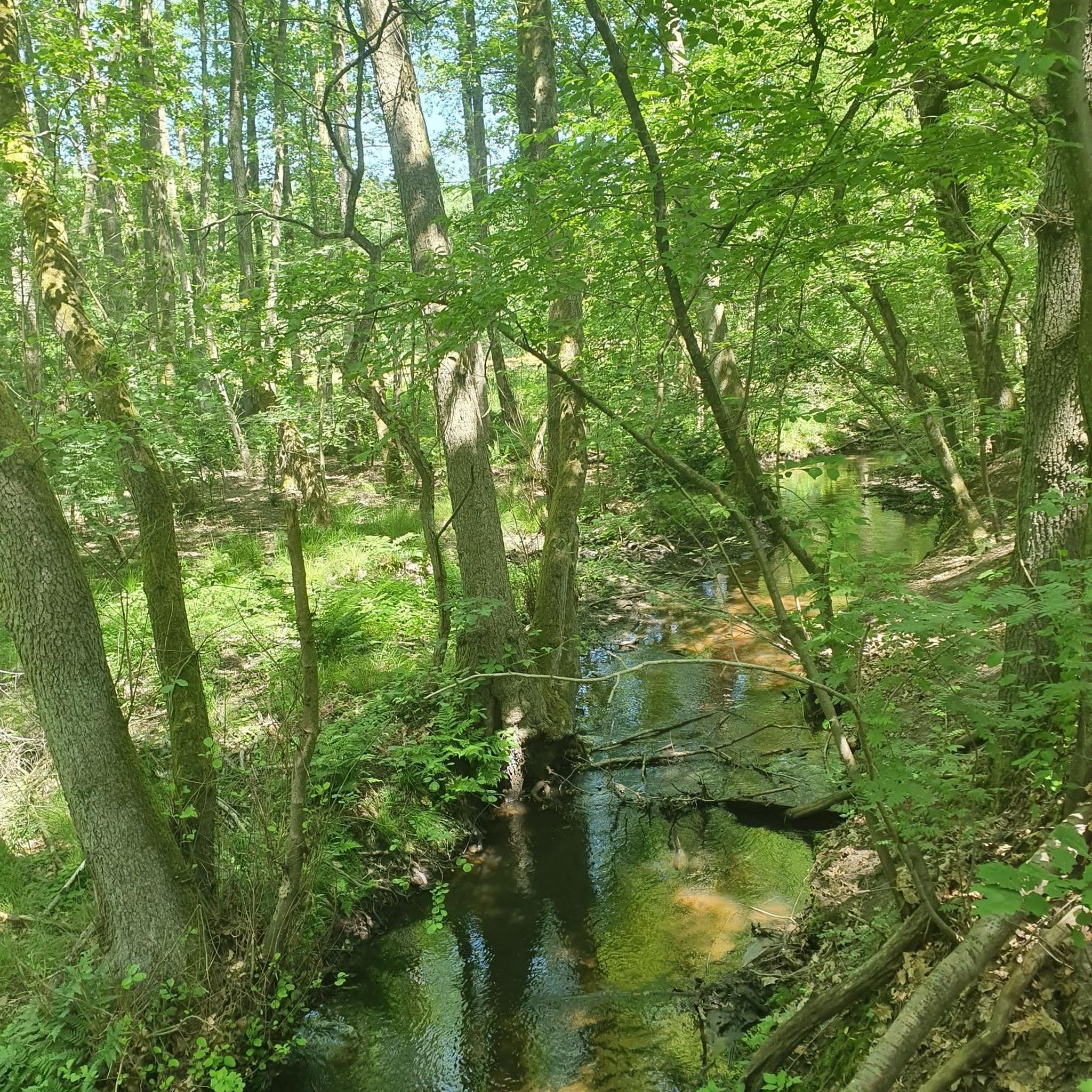
Forest path in Canada is different than in Germany
0
0
The map of Mount Douglas Park
0
0
The Douglas Creek Watershed encompasses most of the Gordon Head Local Area. Roads, driveways, and roofs are impervious surfaces that occupy 37% of the watershed. Water drains from these impermeable planes and travels through the storm water system to the Park boundary and into the creek channel about 20 m upstream of the weir.
0
0
A beautiful view of the Pacific
0
0
Frequently Asked Questions
How many running routes are available in Saanich?
Saanich offers a vast network of over 150 running routes. These include a variety of options, with about 14 easy routes perfect for beginners, over 115 moderate trails, and around 24 more challenging paths for experienced runners.
Are there any family-friendly jogging trails in Saanich?
Yes, Saanich has many family-friendly options. Trails around Elk/Beaver Lake Regional Park are generally well-suited for families, offering beautiful natural views and relatively flat terrain. The region's extensive park system ensures there are plenty of accessible paths for all ages.
Which running routes offer the best scenic views in Saanich?
For breathtaking panoramic views, consider routes that ascend Mount Douglas Park or Mount Tolmie. Mount Douglas offers 360-degree vistas of Greater Victoria and the Olympic Mountains, while Mount Tolmie provides stunning views of the Saanich Peninsula and distant mountains. Many trails also feature spectacular ocean views or wind through mature forests.
Are dogs allowed on Saanich's jogging trails?
Yes, many trails in Saanich are dog-friendly. However, it's crucial to always keep your dog on a leash and adhere to local park regulations to ensure a pleasant experience for everyone and to protect the local wildlife. Specific rules may vary by park, so checking signage is always a good idea.
What are some good options for a longer distance run in Saanich?
For a longer run, the Mount Douglas Park Trail Map – Rocky Forest Trail loop from The Oaks is a challenging option at over 14 km. The Centennial Trails Loop, along with sections of the Capital Regional District's Lochside and Galloping Goose Regional Trails, also provide extensive networks for longer distances.
Are there any circular running routes in Saanich?
Absolutely. Many of Saanich's trails are designed as loops, offering varied scenery without retracing your steps. Popular circular routes include the Eagle Beach – Hamsterly Beach loop from Cordova Bay, the King's Pond loop from St. Michaels University School, and the Running loop from Saanich.
What kind of natural features can I expect to see while running in Saanich?
Saanich's diverse landscapes offer a rich variety of natural features. You can expect to run through towering Douglas fir and grand fir urban forests, explore Garry oak meadows, encounter moss-covered big leaf maples, and pass by Western red cedars. Many routes also feature rocky slopes, creeks, and lakefront views, providing a fresh air experience.
Are there any waterfalls along the running routes in Saanich?
While Saanich itself is known for its parks and forests, nearby areas offer stunning waterfalls. For those willing to venture slightly further, Niagara Falls Trail and Goldstream Falls in Goldstream Provincial Park are notable natural monuments that can be incorporated into a longer running excursion or visited separately.
What is the best time of year to go jogging in Saanich?
Saanich offers great running opportunities year-round. Spring and fall provide pleasant temperatures and vibrant scenery. Summer is ideal for early morning or late evening runs to avoid the heat, while winter running is possible, though some trails might be muddy. The region's commitment to preserving natural spaces ensures a fresh air experience in any season.
Are there any hidden gem running trails in Saanich?
Beyond the well-known parks, Saanich boasts several smaller, 'hidden gem' parks that offer unique running experiences. These include Camrose Park with its Garry oak outcrop, Swan Creek which follows a meandering creek through greenspace, and Doumac Park with its forested ravine and rustic trails, perfect for connecting with nature away from crowds.
What are the parking options like for Saanich's running trails?
Many of Saanich's larger parks and trailheads, such as Mount Douglas Park and Elk/Beaver Lake Regional Park, offer designated parking areas. For specific routes, it's advisable to check the starting point for available parking. The extensive park system generally provides convenient access for runners arriving by car.
Can I access Saanich's running trails using public transport?
Yes, several running trails and parks in Saanich are accessible via public transport. Major parks like Mount Douglas Park and Elk/Beaver Lake Regional Park are typically served by local bus routes. For specific trailheads, checking the BC Transit schedule for Saanich can help plan your journey.
What do other runners enjoy most about jogging in Saanich?
The komoot community highly rates jogging in Saanich, with an average score of 4.5 stars from over 20 reviews. Runners frequently praise the region's extensive park system, the variety of terrain from urban forests to lakefront paths, and the stunning panoramic views from elevated points like Mount Douglas and Mount Tolmie. The well-maintained trails and fresh air experience are also commonly highlighted.
Most popular routes around Saanich
Most popular attractions around Saanich

Get inspired with the komoot mobile app


Explore more
Browse the best Running Trails & Routes in other regions.
