The best running trails around Area D (Oyster Bay/Buttle Lake)
79
runners
12
runs
Jogging routes around Area D (Oyster Bay/Buttle Lake) traverse a diverse landscape, from coastal areas to mountainous terrain. The region features gentle trails alongside the Oyster River, offering views of the ocean and mountains. Further inland, routes extend into Strathcona Provincial Park, where Buttle Lake is surrounded by dense forests and peaks. The area is characterized by old-growth forests and river systems, providing varied running environments.
Best jogging routes around Area D (Oyster Bay/Buttle Lake)
- The most popular jogging route…
Last updated: July 10, 2026
14
runners
8.63km
00:57
70m
70m
Moderate run. Good fitness required. Mostly paved surfaces. Suitable for all skill levels.
11
runners
6.03km
00:43
20m
20m
Moderate run. Good fitness required. Mostly paved surfaces. Suitable for all skill levels.

Sign up for free
11
runners
5.94km
00:43
20m
20m
Moderate run. Good fitness required. Mostly paved surfaces. Suitable for all skill levels.
7
runners
Moderate run. Good fitness required. Mostly paved surfaces. Suitable for all skill levels.
9
runners
7.20km
00:48
160m
160m
Moderate run. Good fitness required. Mostly paved surfaces. Suitable for all skill levels.
Get access to more routes and recommendations from other explorers.
Sign up for free
Already have an account?
Our route recommendations are based on thousands of hikes, rides, and runs completed by other people on komoot.
Start today with a free account
Your next adventure awaits.
Login or Signup
Popular around Area D (Oyster Bay/Buttle Lake)
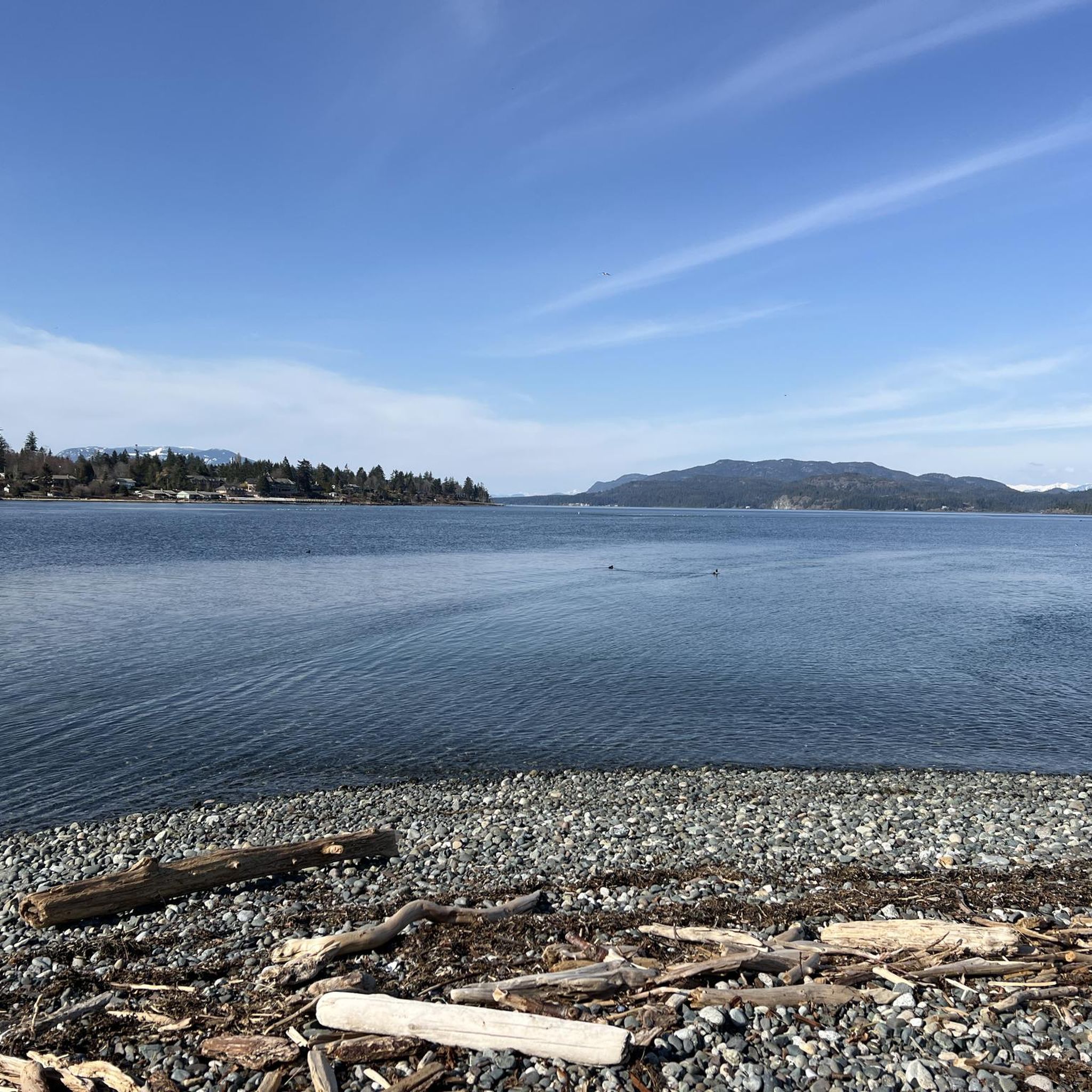
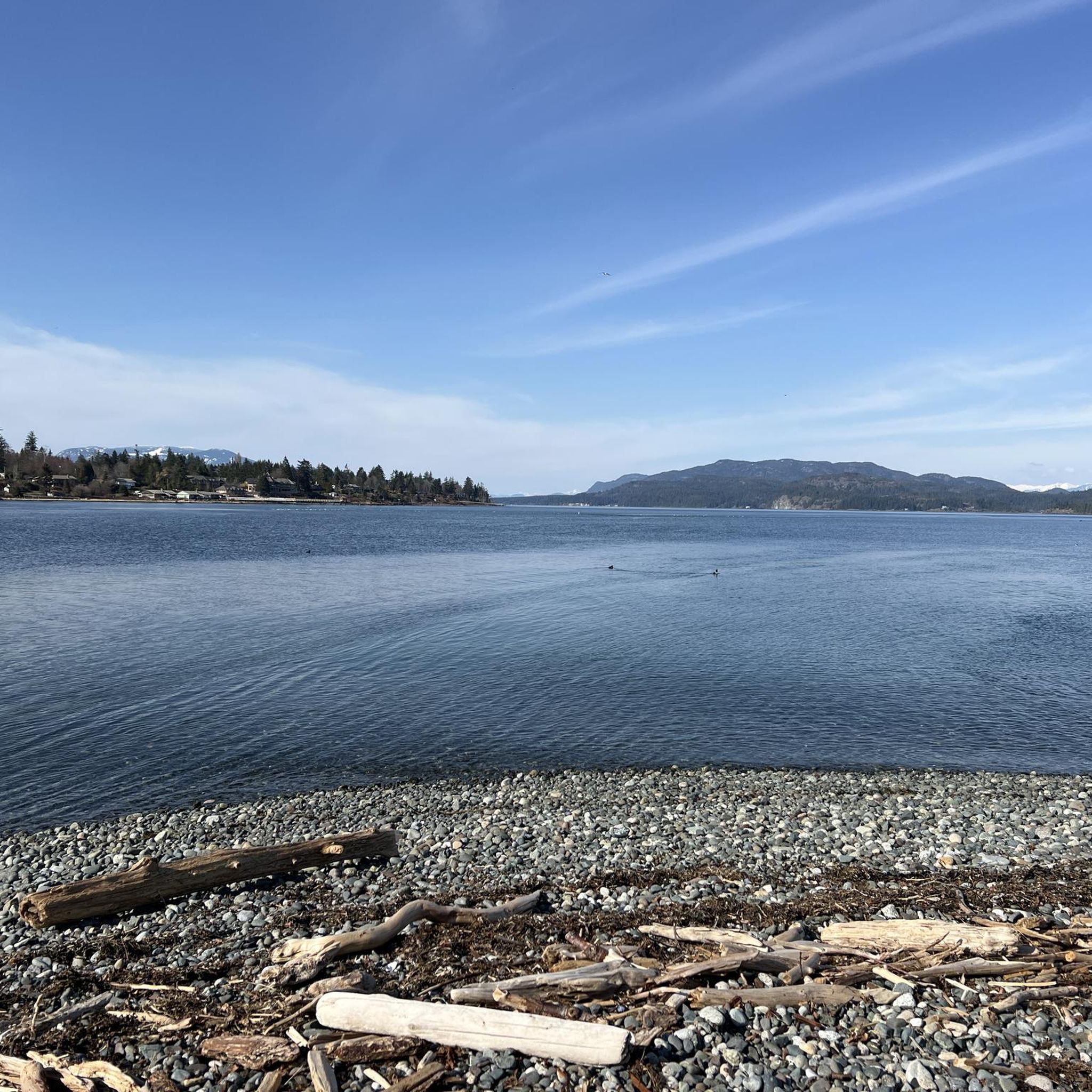
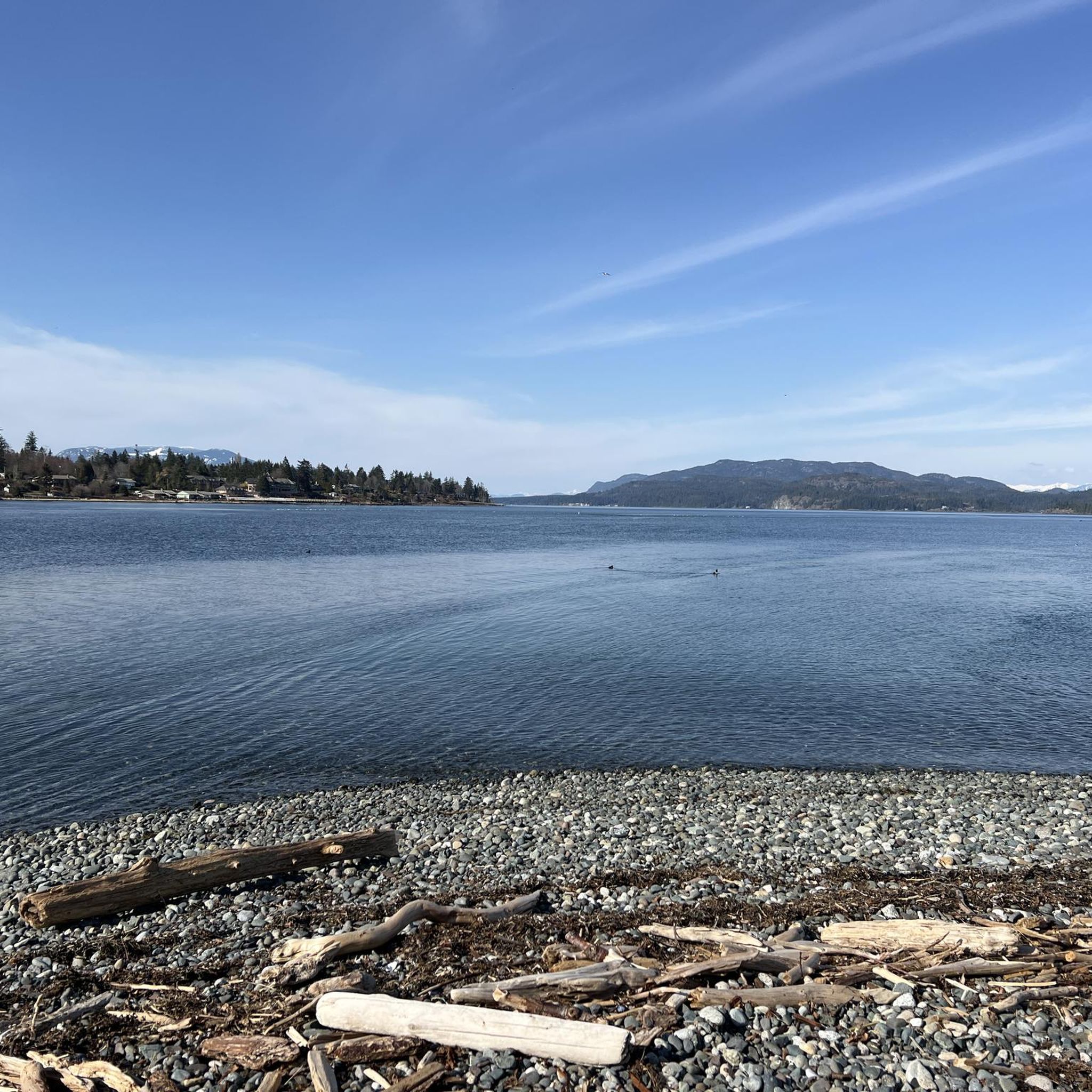
Tips from the Community

ERT travels north-south across Beaver Lodge Forest Lands, and halfway though its course becomes Airport Main. This trail is a wide forest service trail, wide enough to walk side by side with a friend and maintain a conversation while still seeing so much beauty that Beaver Lodge Lands has to offer.
0
0

This small creek flows through the Beaver Lodge Forest Lands outside of Campbell River. The creek's riparian area forms an important habitat for many species. Ongoing works to restore the creek can be found along the creek side from time to time, so be sure to follow any posted signage.
0
0
The Beaver Lodge Forest Lands are located on the edge of Campbell River in BC. Visitor can enjoy the many trails that crisscross the forest allowing access to hiking and mountain biking. The area was heavily logged in the past but it is now overseen by a land trust and has become a haven for a wide range of flora and fauna.
0
0
This multi-use trail was built on top of an old logging route and is suitable for all ages and ability levels. The 3 kilometre trail can be taken as an out and back hike or combined with other trails in the area for longer journeys and loop hikes.
0
0
Frequently Asked Questions
What kind of terrain can I expect on running routes in Area D (Oyster Bay/Buttle Lake)?
The region offers a diverse range of running environments. Near Oyster Bay, you'll find gentle trails alongside the Oyster River and coastal paths like the Rotary Seawalk, often with scenic ocean and mountain views. Further inland, routes extend into Strathcona Provincial Park around Buttle Lake, featuring dense old-growth forests and more varied terrain, including some trails with moderate elevation changes. You can choose from easy riverside paths to more challenging routes within the provincial parks.
Are there any easy or beginner-friendly running routes in the Oyster Bay area?
Yes, the Oyster Bay area offers several accessible options. Trails alongside the Oyster River are generally gentle and ideal for a peaceful run. The Rotary Seawalk is another excellent choice, providing an easy, paved path along Discovery Passage perfect for a scenic coastal jog with marine views. For a slightly longer, moderate option, consider the Jack Hames Trail loop from Salmon Point, which winds through natural areas with minimal elevation changes.
Can I find running routes with waterfalls or other natural landmarks?
Absolutely! The region is known for its beautiful waterfalls and natural features. For a route that takes you past a significant waterfall, try the Elk Falls – Elk Falls Suspension Bridge loop from Elk Falls Provincial Park. This trail leads through old-growth forests and past the impressive Elk Falls. Other notable waterfalls in the area include Deer Falls and Moose Falls.
Are there any family-friendly running trails suitable for all ages?
Many of the easier trails are suitable for families. The gentle paths along the Oyster River and the paved Rotary Seawalk near Oyster Bay are great for a leisurely run or walk with children. Within Elk Falls Provincial Park, the Millennium Trail and Canyon View Trail are also considered easy loops, offering scenic views and a dramatic suspension bridge, making them enjoyable for families.
What is the best time of year to go running in Area D (Oyster Bay/Buttle Lake)?
The region is enjoyable for running throughout much of the year, but spring, summer, and fall offer the most pleasant conditions. Spring brings lush greenery and blooming flora, while summer provides warm weather for coastal and lakeside runs. Fall showcases vibrant autumn colors, especially in the forested areas. Winter running is possible, particularly on coastal paths, but some higher elevation trails in Strathcona Provincial Park may experience snow or more challenging conditions.
Are dogs allowed on the running trails in Oyster Bay and Buttle Lake areas?
Many trails in the Oyster Bay and Buttle Lake areas are dog-friendly, but it's always best to check specific park regulations. Generally, dogs are welcome on leash in most provincial parks and regional trails. For example, trails around Oyster River and the Rotary Seawalk are popular spots for runners with dogs. When running in Strathcona Provincial Park, ensure your dog is on a leash and you follow all park guidelines to protect wildlife and other visitors.
Where can I park when accessing running routes in the region?
Parking is generally available at trailheads and popular access points. For routes near Oyster Bay, you'll find parking at community parks and along the Rotary Seawalk. When visiting Elk Falls Provincial Park, there are designated parking areas. For trails around Buttle Lake within Strathcona Provincial Park, parking lots are typically located near trailheads and campgrounds. Always look for signage and adhere to any parking regulations.
What kind of amenities (food, drink, restrooms) are available near the running routes?
Near Oyster Bay, you'll find various amenities in the nearby communities, including cafes, restaurants, and shops. The Rotary Seawalk is close to urban areas with facilities. Around Buttle Lake, within Strathcona Provincial Park, amenities are more limited, primarily found at campgrounds or park visitor centers. It's advisable to carry your own water and snacks, especially when venturing into the more remote areas of the provincial park.
Are there any permits or fees required to access trails in Strathcona Provincial Park?
For general day-use access to trails within Strathcona Provincial Park, permits are typically not required. However, if you plan on camping or engaging in specific activities, reservations or fees may apply. It's always a good idea to check the official BC Parks website for the most current information regarding permits, fees, and any seasonal restrictions or closures, especially for areas around Buttle Lake.
How many running routes are available in Area D (Oyster Bay/Buttle Lake)?
There are over a dozen running routes available in Area D (Oyster Bay/Buttle Lake) for you to explore. These routes cater to various fitness levels, from easy coastal jogs to more challenging trails within the provincial park.
What do other runners enjoy most about jogging in Area D (Oyster Bay/Buttle Lake)?
The running routes in Area D (Oyster Bay/Buttle Lake) are rated by the komoot community with an average score of 3.0 stars. Runners often praise the diverse scenery, which ranges from coastal views and riverine paths to dense old-growth forests. The variety of terrain and the opportunity to spot wildlife are frequently highlighted as enjoyable aspects of running in this beautiful region.
Can I reach any of the running trails using public transport?
While public transport options directly to all trailheads in the more remote parts of Area D, especially around Buttle Lake, might be limited, some routes closer to urban centers like Campbell River (near Oyster Bay) may be more accessible. For instance, the Rotary Seawalk is easily reachable within the community. For routes further afield, personal vehicle transport is generally recommended for convenience and flexibility.
Most popular routes around Area D (Oyster Bay/Buttle Lake)
Most popular attractions around Area D (Oyster Bay/Buttle Lake)

Get inspired with the komoot mobile app


Explore more
Browse the best Running Trails & Routes in other regions.
