The best cycling routes around Area D (Elaho/Garibaldi)
4.6
(12)
730
riders
36
rides
Touring cycling around Area D (Elaho/Garibaldi) offers routes through a landscape shaped by volcanic activity, featuring snow-capped mountains, deep canyons, and extensive old-growth forests. The region encompasses Garibaldi Provincial Park, known for its alpine lakes and dramatic peaks, and the Elaho Valley, characterized by sheer volcanic rock cliffs and ancient trees. This diverse terrain provides a range of cycling experiences, from challenging gravel paths to scenic paved roads, amidst a backdrop of rugged beauty.
Best touring cycling routes around Area D (Elaho/Garibaldi)
- The most popular touring cycling route is Gravel Bike Epic loop from Squamish — Alice Lake Provincial Park, a 24.2 miles (38.9 km) trail that takes 3 hours 38 minutes to complete, offering a challenging gravel experience around Alice Lake.
- Another top favourite among local touring cyclists is Upper Powersmart – Gravel road to Half Nelson loop from University 3050 block (EB), a difficult 9.5 miles (15.3 km) path. This route features a gravel road ascent leading to the Half Nelson area.
- Local touring cyclists also love the The Watershed – Brackendale Riverside View loop from Tantalus 41105 block (SB), a 60.6 miles (97.5 km) trail leading through riverside landscapes, often completed in about 7 hours 20 minutes.
- Touring cycling around Area D (Elaho/Garibaldi) is defined by volcanic peaks, alpine lakes, and old-growth forests. The network offers options for different ability levels, from easier valley rides to more challenging climbs.
- The routes in Area D (Elaho/Garibaldi) are highly rated by the komoot community with an average score of 4.6 stars from over 12 reviews. More than 730 touring cyclists have used komoot to explore Area D (Elaho/Garibaldi)'s varied terrain.
Last updated: July 15, 2026
5.0
(1)
18
riders
38.9km
03:38
680m
680m
Hard bike ride. Very good fitness required. You may need to push your bike for some segments of this route.
192
riders
Hard bike ride. Very good fitness required. You may need to push your bike for some segments of this route.

Sign up for free
4.5
(2)
54
riders
103km
07:33
1,420m
1,420m
Hard bike ride. Very good fitness required. You may need to push your bike for some segments of this route.
4.7
(3)
29
riders
20.8km
01:37
240m
240m
Moderate bike ride. Good fitness required. Mostly paved surfaces. Suitable for all skill levels.
27
riders
43.3km
02:48
350m
350m
Moderate bike ride. Good fitness required. Mostly paved surfaces. Suitable for all skill levels.
Get access to more routes and recommendations from other explorers.
Sign up for free
Already have an account?
Our route recommendations are based on thousands of hikes, rides, and runs completed by other people on komoot.
Start today with a free account
Your next adventure awaits.
Login or Signup
Popular around Area D (Elaho/Garibaldi)

Forests, desert, wilderness - day tours in British Columbia

Breathtaking British Columbia — hikes near Squamish & Whistler

MTB Road Trip Sea-to-Sky – dream trails in British Columbia
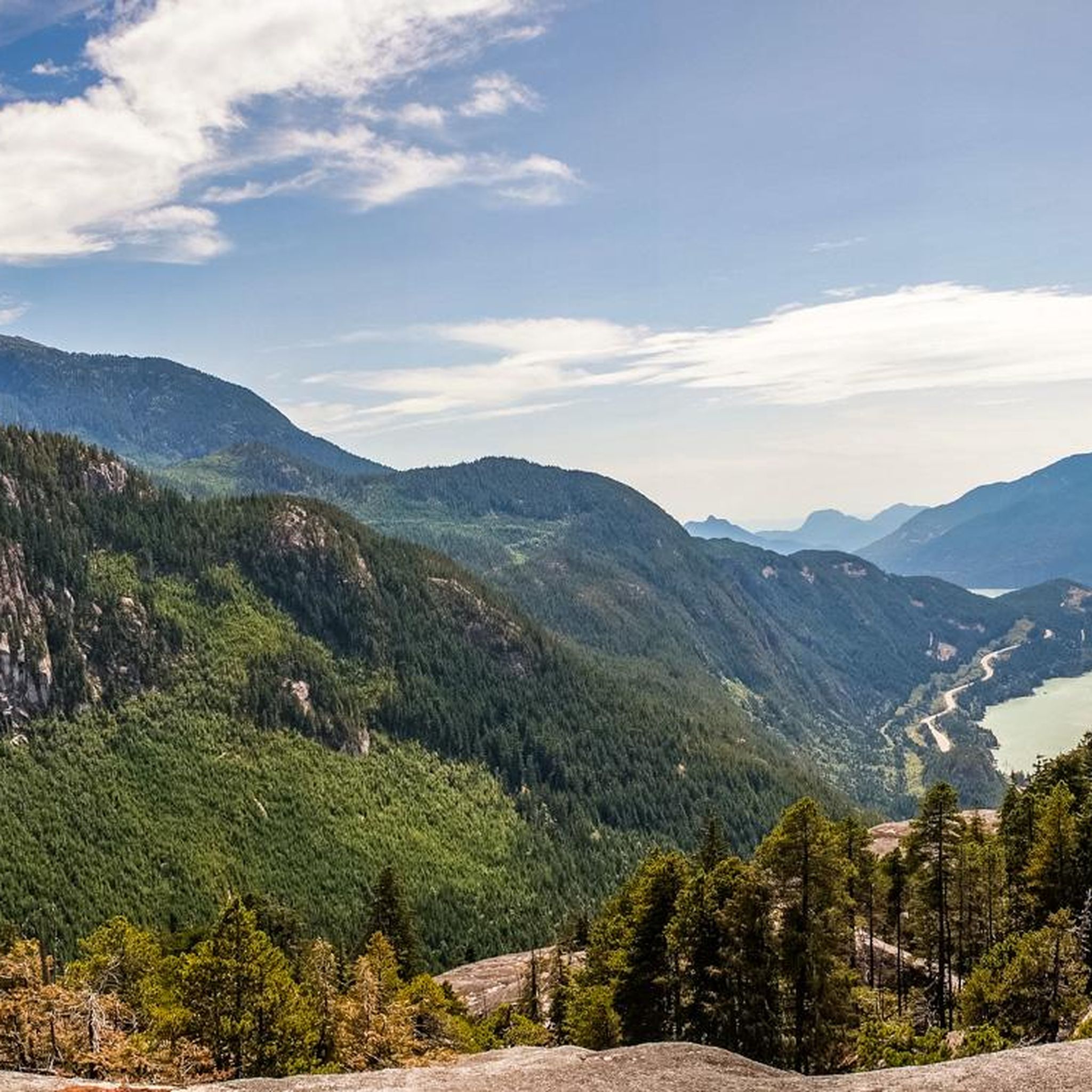
Hiking around Area D (Elaho/Garibaldi)
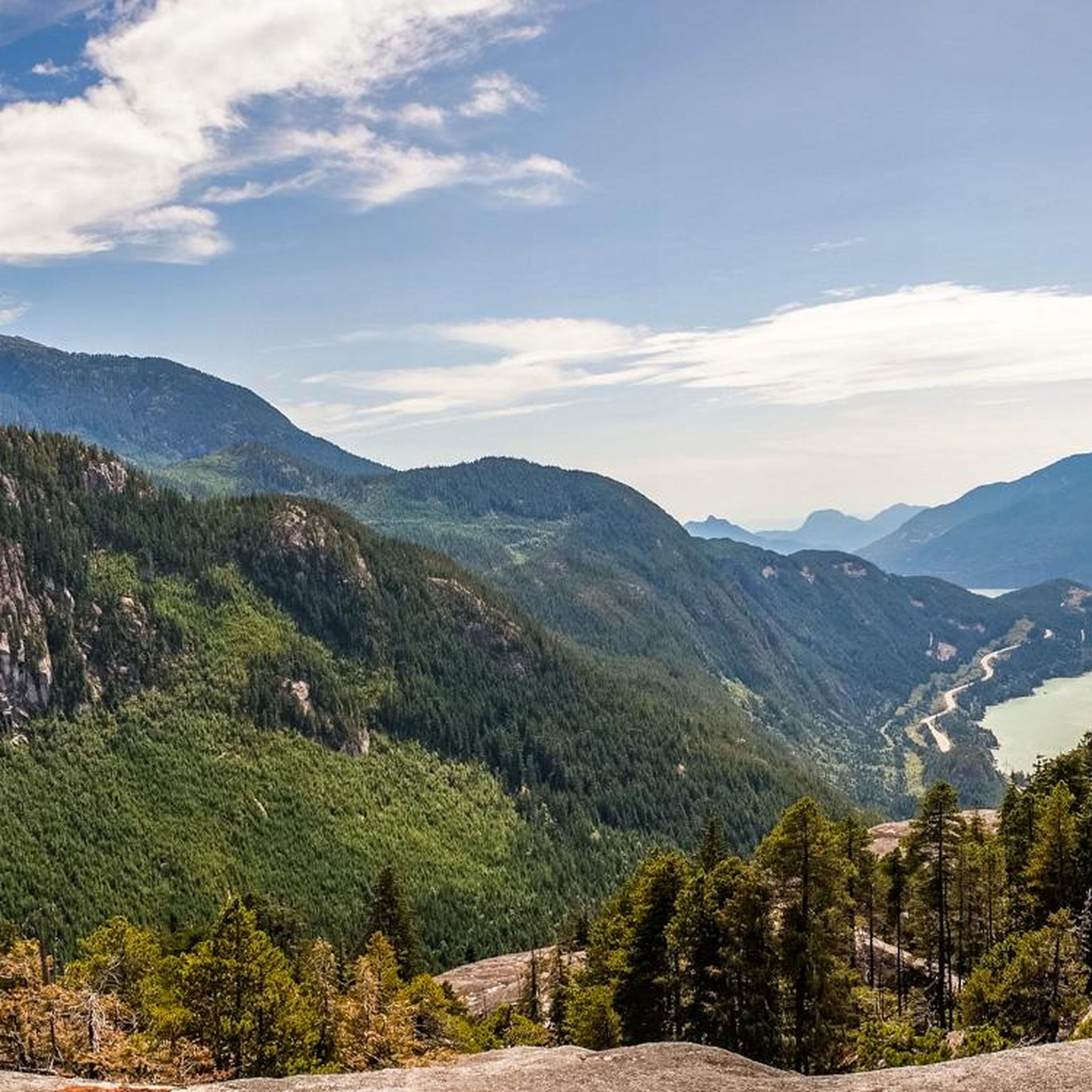
MTB Trails around Area D (Elaho/Garibaldi)
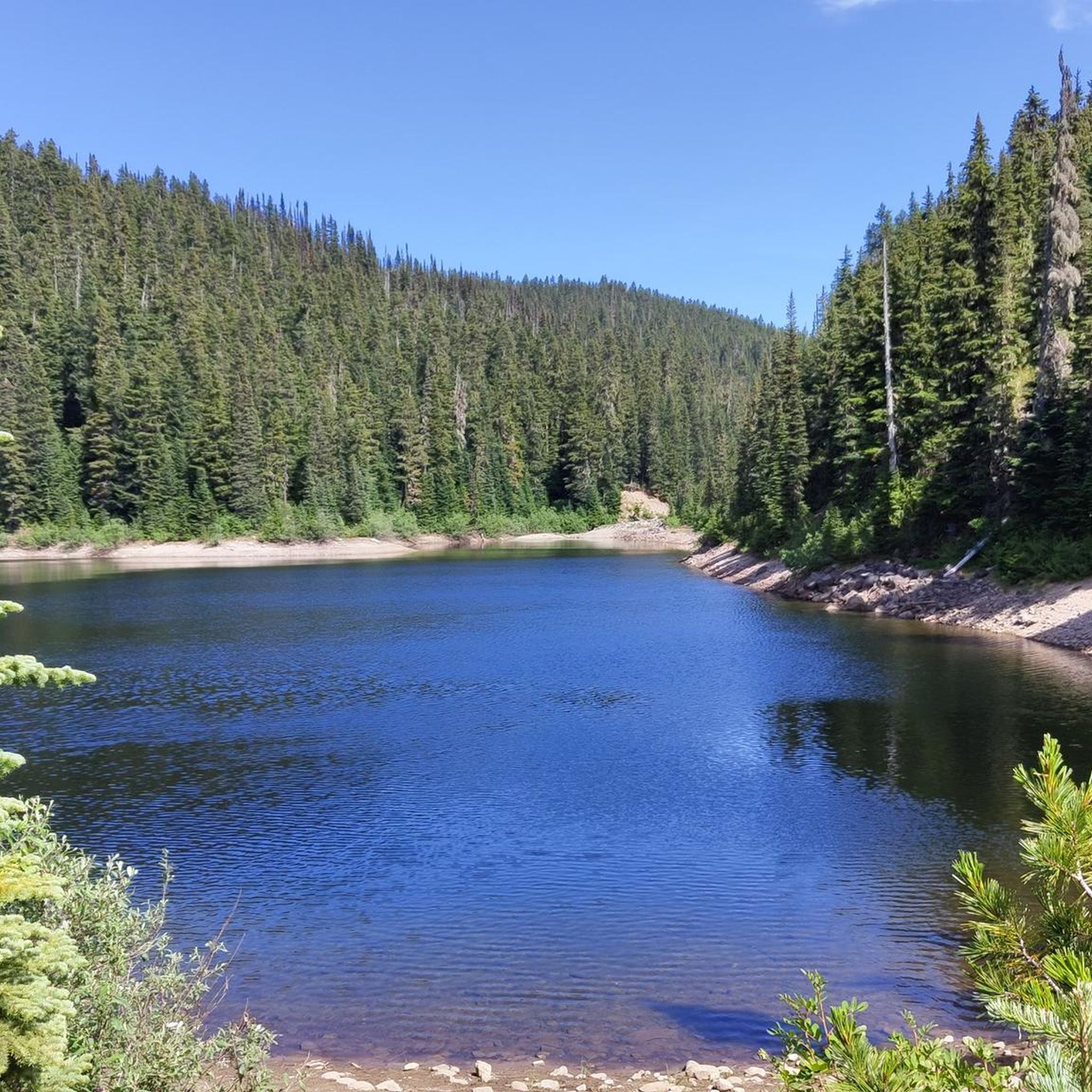
Running Trails around Area D (Elaho/Garibaldi)
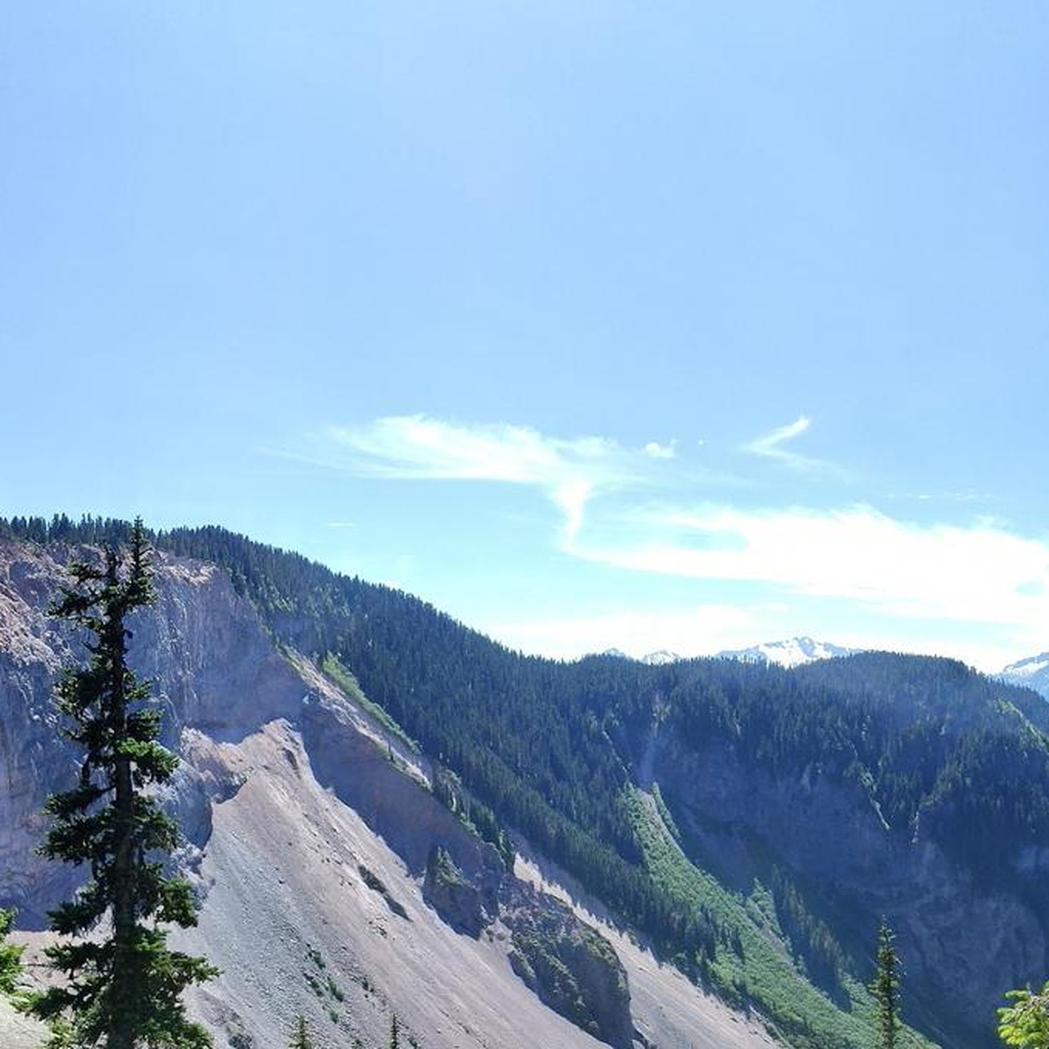
Road Cycling Routes around Area D (Elaho/Garibaldi)

Gravel biking around Area D (Elaho/Garibaldi)
Mountain Hikes around Area D (Elaho/Garibaldi)
Other adventures around Area D (Elaho/Garibaldi)


Tips from the Community

Spit Road is a flat, gravel route leading through the Squamish Estuary to the tip of the Squamish Spit. Following the dyke, it passes tidal wetlands and slow-moving channels with beautiful views of the surrounding mountains before reaching the shoreline at the mouth of Howe Sound. It’s a popular path for hiking and cycling, with excellent opportunities to spot birds and other wildlife.
0
0
The Squamish River flows from the Coast Mountains to Howe Sound through one of British Columbia’s most scenic valleys. Along its lower reaches, the expansive river is framed by tall mountain peaks and supports a rich salmon habitat that attracts eagles, seals, and other wildlife, including bears. It’s a prime destination for fishing and whitewater rafting, and from this spot, you might see an eagle two flying overhead if you’re lucky.
0
0


The Estuary Trail is an easy, mostly level route that winds through tidal wetlands where the Squamish River meets Howe Sound. The trail offers wide views across the estuary and surrounding mountains, including the Stawamus Chief and Diamond Head. It’s a popular spot for birdwatching and wildlife viewing because the estuary provides habitat for many species of migratory birds and fish.
0
0

The Squamish Cenotaph in British Columbia, located at 1361 Main Street, honors locals who served in the First and Second World Wars, with an added plaque for those who fought in Korea. It’s the centerpiece of the town’s Remembrance Day ceremony and a quiet spot year-round to reflect on the community’s history and sacrifices.
0
0

The Cheakamus River flows south through a 50-meter-deep, densely forested rocky gorge. In the distance, we can see the striking rocky peak of The Black Tusk.
2
0
From the southern vantage point of Brandywine Falls, you have a magnificent view of Daisy Lake Reservoir and Black Tusk Mountain in the Garibaldi Ranges of the Coast Mountains. The Daisy Lake Reservoir was created in 1926 after the construction of the Cheakamus Dam; the dam was replaced in 1984. The reservoir is part of the Cheakamus Hydroelectric Power Plant on the Squamish River. https://www.bchydro.com/energy-in-bc/operations/transmission-reservoir-data/previous-reservoir-elevations/lower-mainland/daisy_lake_dsy.html
0
0
Brandywine Falls is a popular waterfall along the Sea-to-Sky Corridor between Vancouver and Whistler. The falls plunge 59 meters over a cliff that was carved into a deep canyon by eruptions from the nearby Garibaldi volcanic field and the erosive power of Brandywine Creek. Brandywine Creek originates from two glaciers on Brandywine Mountain and Mount Fee. The name of the Falls is said to come from a bet between two Canadian Pacific Railroad workers who bet on the height of the Falls. There are different estimates of the height of the Falls: BC Provincial Park Service - 70 meters; other sources - 65 meters. Measurements in May 2018 showed a height of 59 meters. (Visit June 5, 2018 & May 24, 2025) https://www.worldwaterfalldatabase.com/waterfall/Brandywine-Falls-2036
2
0
Frequently Asked Questions
How many touring cycling routes can I find in Area D (Elaho/Garibaldi)?
Area D (Elaho/Garibaldi) offers a diverse selection of over 35 touring cycling routes. These routes cater to various skill levels, with 11 easy, 16 moderate, and 10 difficult options available for exploration.
What do other touring cyclists enjoy about the routes in Area D (Elaho/Garibaldi)?
The touring cycling routes in Area D (Elaho/Garibaldi) are highly rated by the komoot community, with an average score of 4.6 stars from over 12 reviews. Cyclists often praise the stunning volcanic peaks, pristine alpine lakes, and ancient old-growth forests that define the region's diverse landscapes.
What is the best time of year for touring cycling in Area D (Elaho/Garibaldi)?
The best time for touring cycling in Area D (Elaho/Garibaldi) is generally from late spring to early autumn. During these months, the weather is more favorable, and alpine meadows burst with wildflowers like heather and lupine. However, conditions can vary, especially on higher elevation routes, so checking local forecasts and trail conditions is always recommended.
Are there options for beginner touring cyclists in Area D (Elaho/Garibaldi)?
Yes, Area D (Elaho/Garibaldi) offers several routes suitable for beginner touring cyclists. There are 11 easy routes available, often found in the valley areas like the Squamish and Paradise Valleys, which feature quiet, mostly flat paved roads winding through forests with views of towering peaks. An example of an easy route is Squamish Estuary – The Watershed loop from Squamish.
Are there challenging touring cycling routes for experienced riders?
Absolutely. For experienced touring cyclists seeking a challenge, Area D (Elaho/Garibaldi) provides 10 difficult routes with significant elevation gains. Options include demanding gravel rides within Garibaldi Provincial Park, such as the route from the Diamond Head parking lot to Elfin Lakes, or the challenging Gravel Bike Epic loop from Squamish — Alice Lake Provincial Park, which offers a challenging gravel experience.
Are there any circular touring cycling routes in Area D (Elaho/Garibaldi)?
Yes, many touring cycling routes in Area D (Elaho/Garibaldi) are designed as loops, allowing you to start and end at the same point. Examples include the popular Gravel Bike Epic loop from Squamish — Alice Lake Provincial Park and The Watershed – Brackendale Riverside View loop from Tantalus 41105 block (SB), which leads through riverside landscapes.
Can I find gravel biking routes in Area D (Elaho/Garibaldi)?
Yes, Area D (Elaho/Garibaldi) is an excellent destination for gravel biking. The region features an extensive network of forest service roads and multi-use trails with varied surfaces, including hard-packed road beds, loose gravel, and earthy loam. Routes like the Upper Powersmart – Gravel road to Half Nelson loop from University 3050 block (EB) are specifically designed for gravel adventures.
Are there family-friendly touring cycling routes in Area D (Elaho/Garibaldi)?
While some routes are challenging, there are family-friendly options, particularly on the quieter, flatter paved roads in the Squamish and Paradise Valleys. The Sea to Sky Trail also offers varied sections, some of which are suitable for families, though it's important to check specific segments as it includes flowy singletrack, doubletrack, gravel roads, and pavement.
What natural attractions can I see along touring cycling routes in Area D (Elaho/Garibaldi)?
Area D (Elaho/Garibaldi) is rich in natural beauty. Along your rides, you can encounter dramatic volcanic landscapes, snow-capped mountains, and pristine alpine lakes like Garibaldi Lake. Notable viewpoints include Old Viewpoint of the Coast Mountains and View of Black Tusk. The Elaho Valley also offers views of deep canyons and extensive old-growth forests.
Are there any notable waterfalls to visit while cycling?
Yes, the region boasts several impressive waterfalls that can be visited. Highlights include the majestic Shannon Falls, Brandywine Falls, and Rainbow Falls. Some routes may pass near these natural wonders, offering a scenic break from your ride.
What kind of landscapes will I encounter while touring cycling in this region?
Touring cycling in Area D (Elaho/Garibaldi) offers an incredible variety of landscapes. You'll ride through dramatic volcanic terrain with towering peaks like Mount Garibaldi and Black Tusk, past vibrant turquoise alpine lakes, and through deep canyons. The Elaho Valley features extensive old-growth forests with ancient Douglas fir and red cedar trees, while higher elevations offer glaciated peaks and alpine meadows.
Where can I find parking for touring cycling routes in Area D (Elaho/Garibaldi)?
Parking is available at various access points for touring cycling routes. For routes within Garibaldi Provincial Park, designated parking lots like the Diamond Head parking lot serve as starting points. For routes originating near Squamish, you can often find parking in or around the town, depending on your chosen route. Always check specific route details for recommended parking locations.
Are there places to eat or stay near the touring cycling routes?
While the routes themselves often traverse wilderness areas, the towns and communities surrounding Area D (Elaho/Garibaldi), such as Squamish, offer a range of amenities. You can find cafes, pubs, restaurants, and various accommodation options, from hotels to campgrounds, to support your touring cycling adventures.
Most popular routes around Area D (Elaho/Garibaldi)
Most popular attractions around Area D (Elaho/Garibaldi)

Get inspired with the komoot mobile app


Explore more
Browse the best Cycling routes in other regions.
