The best MTB trails around Aksdalvatnet
4.9
(20)
86
riders
10
rides
Mountain bike trails around Aksdalvatnet are situated in the Tysvær Municipality of Rogaland county, Norway, offering a blend of accessible routes and the region's natural beauty. The area features the picturesque Aksdalvatnet lake, which measures 3.46 square kilometers, and is surrounded by paths suitable for various outdoor activities. While specific mountain biking trails directly around Aksdalvatnet are integrated into a broader network, the wider Tysvær Municipality provides a selection of routes. The landscape includes easily accessible paths around the lake,…
Last updated: June 28, 2026
5.0
(1)
4
riders
14.9km
01:06
150m
150m
Easy mountain bike ride. Great for any fitness level. Suitable for all skill levels.
5.0
(1)
5
riders
17.6km
01:15
210m
210m
Easy mountain bike ride. Great for any fitness level. Suitable for all skill levels.

Sign up for free
4.5
(4)
12
riders
29.5km
02:07
350m
350m
Moderate mountain bike ride. Good fitness required. Suitable for all skill levels.
5.0
(1)
3
riders
52.7km
03:31
630m
630m
Moderate mountain bike ride. Good fitness required. Suitable for all skill levels.
5.0
(1)
7
riders
33.0km
02:07
390m
390m
Moderate mountain bike ride. Good fitness required. Suitable for all skill levels.
Get access to more routes and recommendations from other explorers.
Sign up for free
Already have an account?
Our route recommendations are based on thousands of hikes, rides, and runs completed by other people on komoot.
Start today with a free account
Your next adventure awaits.
Login or Signup
Tips from the Community

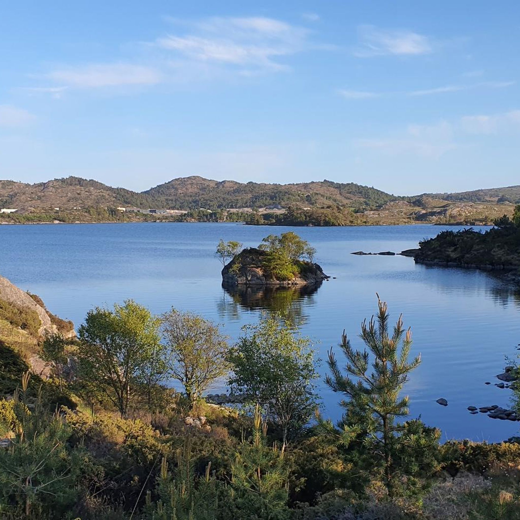
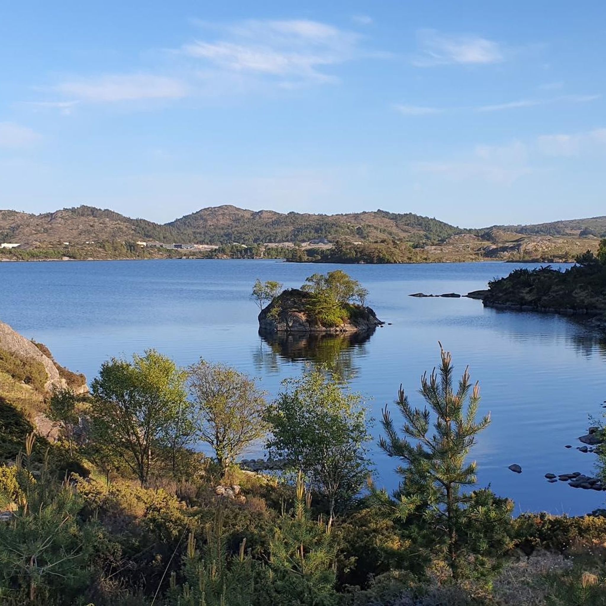
This waterside shelter is a dream location. In addition to the view, you can find a grill, sports equipment, and all in a peaceful natural setting.
0
0
From this vantage point, you are slightly above the bay, offering a magnificent panoramic view. You can choose to lean back against one of the rocks and enjoy the peaceful surroundings, a little away from the hustle and bustle of this dream sport, or admire the view from the benches.
1
0
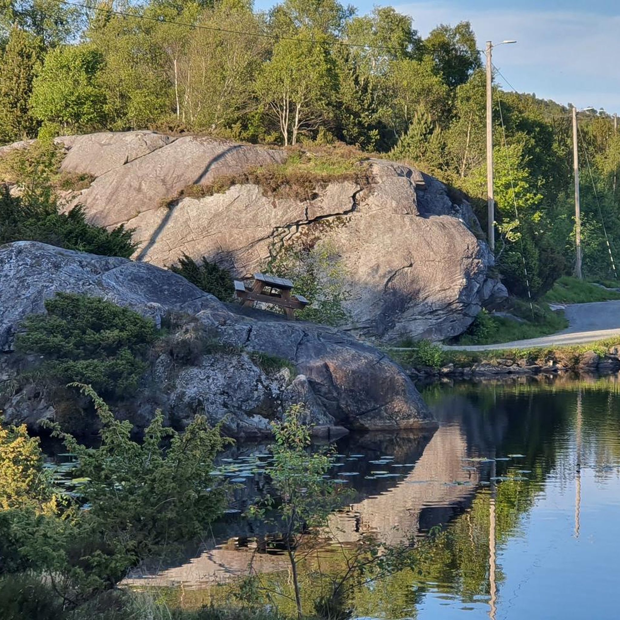
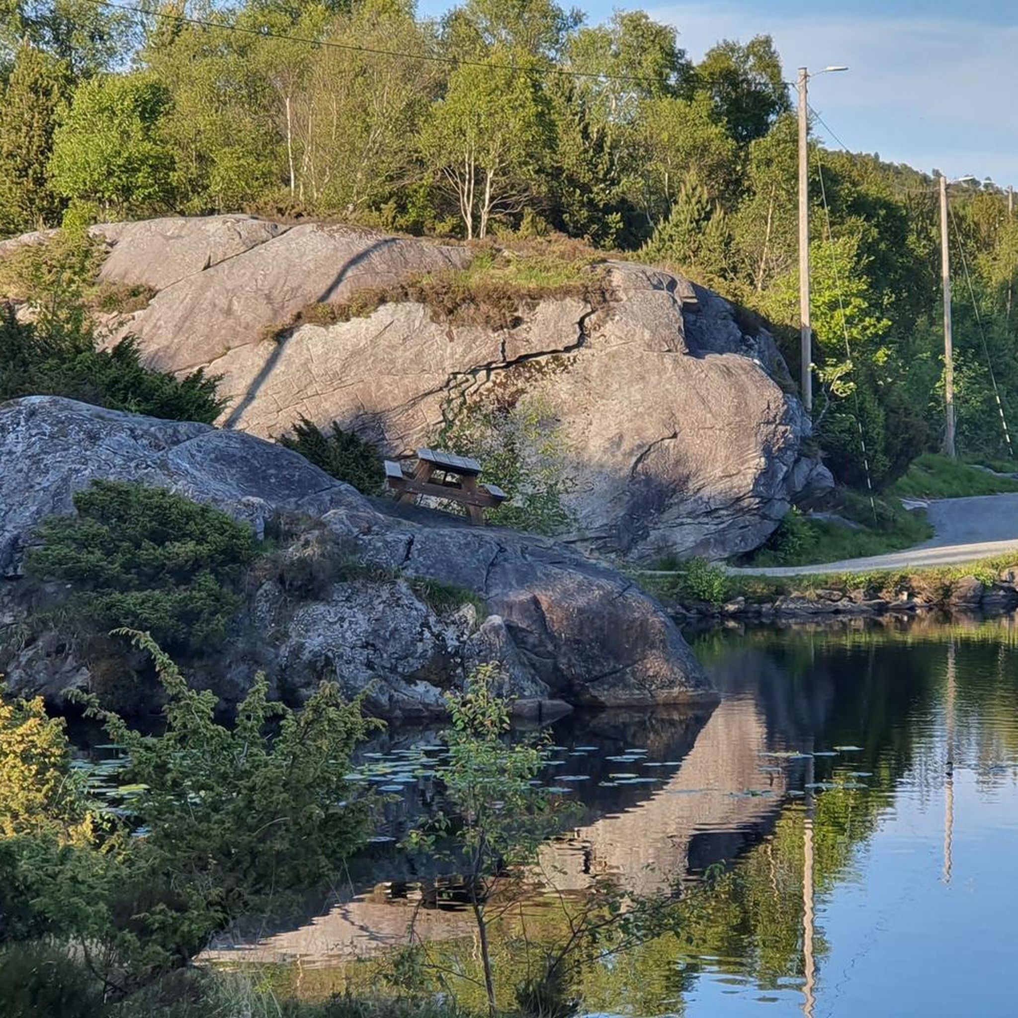
This small, intimate beach offers a quiet spot with a magnificent view of the bay. Right at the entrance, you can find picnic tables.
0
0

Christian cross. Unfortunately no paved path.
0
0
Norwegian National Monument. It deals with Norway's independence. Harald Fairhair is said to be buried here.
1
0

Great monument and definitely worth visiting!
1
0


Definitely worth a trip… 🤩
1
0
Frequently Asked Questions
What is the general difficulty level of mountain bike trails around Aksdalvatnet?
The mountain bike trails around Aksdalvatnet cater to a range of abilities. You'll find a good selection of easy routes, perfect for a relaxed ride, as well as more moderate trails that offer a bit more challenge. There are 2 easy routes and 8 moderate routes available, ensuring options for most skill levels.
Are there any family-friendly mountain bike trails near Aksdalvatnet?
Yes, the area around Aksdalvatnet is known for its accessible paths, making it suitable for families. Easy routes like the Spectacular Viewpoint – Lakeside Shelter loop from Klypetoppen, which is 9.2 miles (14.8 km) long, offer a pleasant experience for riders of varying ages and skill levels.
Can I bring my dog on the mountain bike trails around Aksdalvatnet?
While the guide data doesn't specify dog-friendly rules for each individual trail, many outdoor areas in Norway are generally welcoming to dogs, provided they are kept on a leash, especially during certain seasons to protect wildlife. It's always best to check local signage or municipality regulations for specific trails in Tysvær before heading out with your dog.
Are there mountain bike trails that offer scenic viewpoints or natural features?
Absolutely. The Rogaland region, where Aksdalvatnet is located, is known for its stunning natural beauty. Many trails, such as the Spectacular Viewpoint – Lakeside Shelter loop from Kulvert Trodlaskar, offer scenic rides along the lake's edge and provide views of the surrounding landscape. The broader region also boasts dramatic fjords and mountains.
What do other mountain bikers enjoy most about the trails in Aksdalvatnet?
The mountain bike trails around Aksdalvatnet are highly rated by the komoot community, with an average score of 4.9 stars from more than 15 reviews. Riders often praise the accessible paths, beautiful lake views, and the diverse Rogaland landscapes encountered on the routes.
Are there any loop trails for mountain biking around Aksdalvatnet?
Yes, many of the mountain bike routes around Aksdalvatnet are designed as loops. For example, the Eivindsvatnet Dam – Wooden Bridge Over Creek loop from Norheim is a 18.3 miles (29.5 km) loop that takes you through varied terrain.
What is the best time of year to go mountain biking in Aksdalvatnet?
The best time for mountain biking around Aksdalvatnet is typically during the warmer months, from late spring to early autumn (May to September), when the trails are clear of snow and ice, and the weather is generally more favorable. This allows for the most enjoyable riding conditions and access to all routes.
Are there any longer, more challenging mountain bike routes for experienced riders?
While there are no 'difficult' graded routes directly listed in the guide data, more experienced riders can find longer, moderate trails that offer a good workout. The Ancient Stone Cross – Gravel Road loop from Tømmerdal, at 52.6 km (32.7 miles) with over 600 meters of elevation gain, provides a substantial ride through varied terrain.
How accessible is Aksdalvatnet by public transport for mountain bikers?
Aksdalvatnet is well-connected by major European routes E134 and E39, which run along its shores, making it easily accessible by car. While specific public transport options directly to trailheads are not detailed, the general accessibility of the area suggests that local bus services might connect to the nearby village of Aksdal, from where you could access the lake. Checking local transport schedules for Tysvær Municipality would be advisable.
Are there places to eat or stay near the mountain bike trails in Aksdalvatnet?
The guide data does not specifically list cafes or accommodation directly on the trails. However, the village of Aksdal, located south of Aksdalvatnet, is a local hub and likely offers amenities such as cafes, shops, and potentially accommodation options for visitors. The easy access via E134 and E39 also means you're not far from services in larger towns within Rogaland.
What kind of terrain can I expect on the mountain bike trails around Aksdalvatnet?
The terrain around Aksdalvatnet and in the wider Tysvær Municipality is diverse. You can expect accessible paths around the lake, which are generally less technical. Some regional trails in Rogaland feature singletracks with elements like berms, jumps, and rock gardens, offering both technical challenges and flowy sections. For instance, the Ancient Stone Cross – Wooden Bridge Over Creek loop from Geitafjellet covers varied terrain over its 31.9 km (19.8 miles).
Most popular routes around Aksdalvatnet

Get inspired with the komoot mobile app


Explore more
Browse the best MTB trails in other regions.
