The best road cycling routes around East Central Okanagan Electoral Area
4.7
(19)
1,133
riders
47
rides
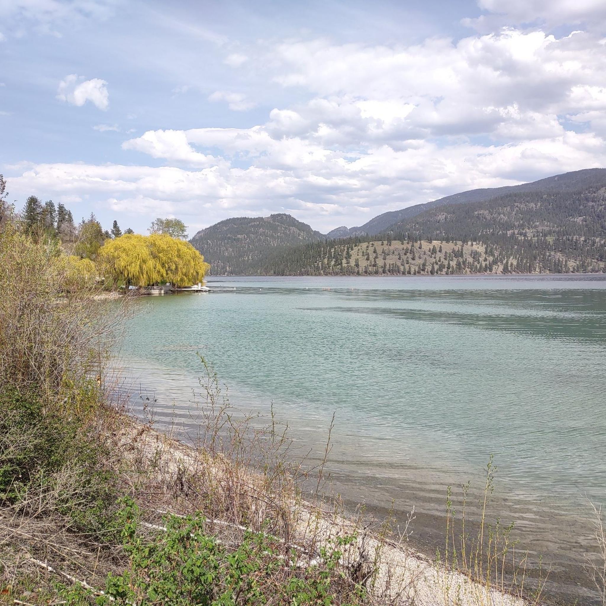
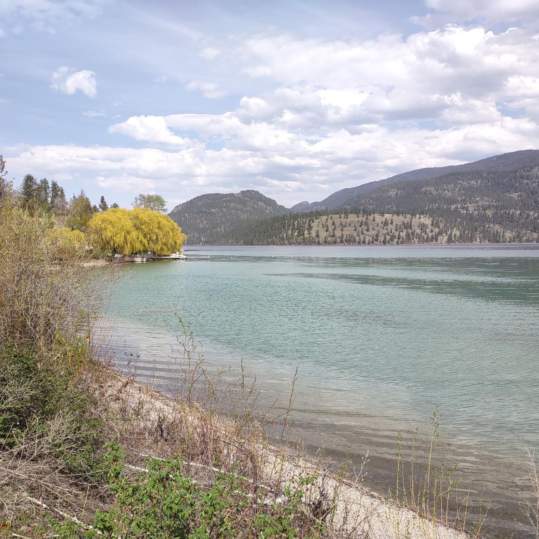
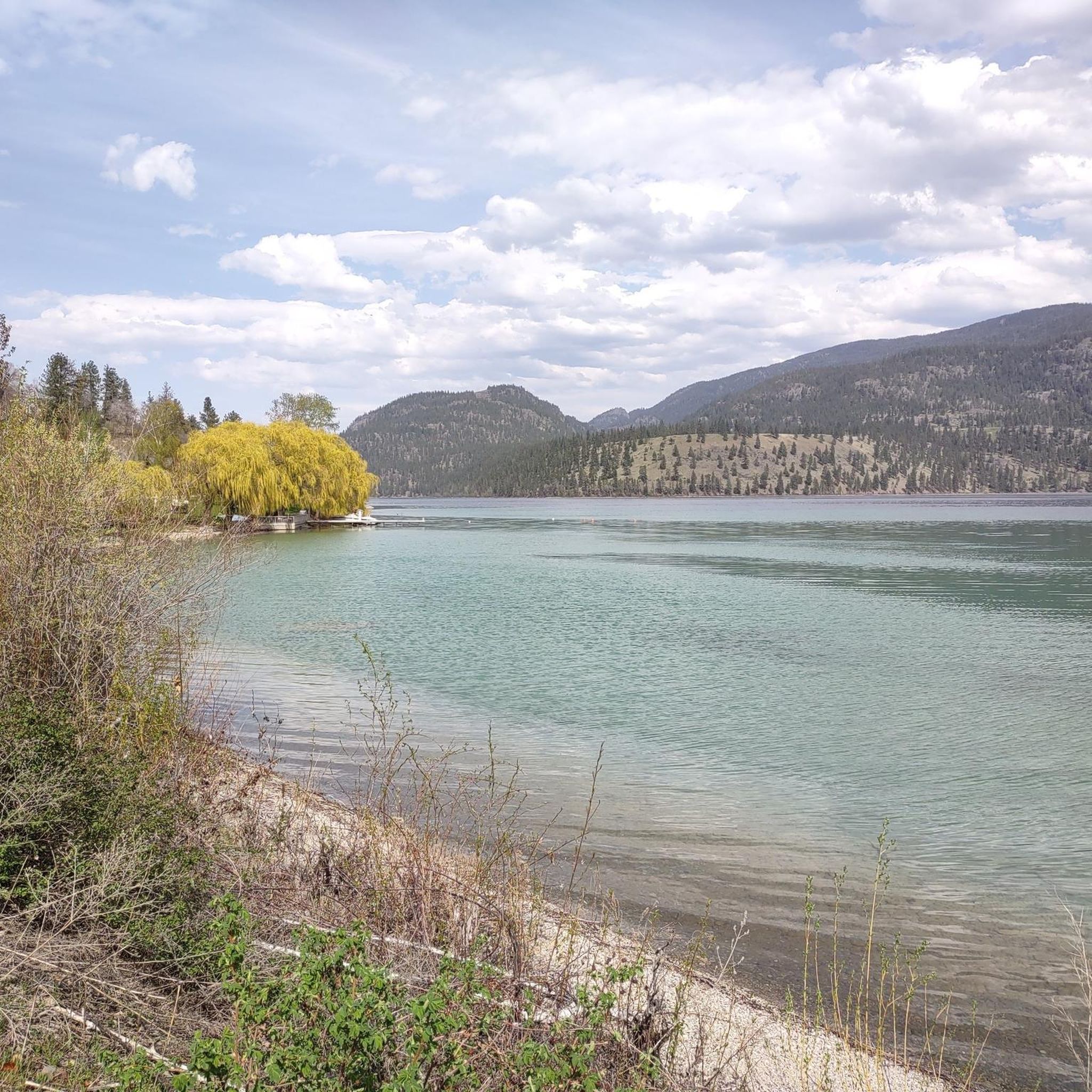
Road cycling around East Central Okanagan Electoral Area features diverse landscapes, ranging from rugged grasslands and forests to scenic lake views and mountainous terrain. The region's topography includes bluffs, basalt cliffs, and canyons, with elevations varying from 337 meters to 2,294 meters. Cyclists can expect mostly paved surfaces, with some longer routes potentially including unpaved segments. The area is characterized by ponderosa pine and Douglas fir plant communities, contributing to its unique biodiversity.
Best road cycling routes around East Central…
Last updated: September 30, 2026
5.0
(2)
80
riders
Easy road ride. Great for any fitness level. Mostly well-paved surfaces and easy to ride.
5.0
(4)
63
riders
Moderate road ride. Good fitness required. Mostly well-paved surfaces and easy to ride.

5.0
(1)
70
riders
70.9km
03:36
380m
380m
Moderate road ride. Good fitness required. Mostly well-paved surfaces and easy to ride.
5.0
(3)
48
riders
Hard road ride. Very good fitness required. Mostly well-paved surfaces and easy to ride.
5.0
(1)
53
riders
48.3km
02:21
430m
430m
Moderate road ride. Good fitness required. Mostly well-paved surfaces and easy to ride.
Get access to more routes and recommendations from other explorers.
Already have an account?
Our route recommendations are based on thousands of hikes, rides, and runs completed by other people on komoot.
Start today with a free account
Your next adventure awaits.
Popular around East Central Okanagan Electoral Area

Vancouver roundtrip — Bikepacking British Columbia

Forests, desert, wilderness - day tours in British Columbia
Hiking around East Central Okanagan Electoral Area
Cycling around East Central Okanagan Electoral Area
Running Trails around East Central Okanagan Electoral Area
MTB Trails around East Central Okanagan Electoral Area

Gravel biking around East Central Okanagan Electoral Area
Other adventures around East Central Okanagan Electoral Area


Tips from the Community

This is part of phase 2 of the Mission Creek Greenway, a superb gravel trail that's used by hikers, cyclists and equestrians alike. It winds for over 16 kilometers (10 mi) through the very heart of Kelowna and provides beautiful scenery. Expect rock formations, canyon ridges and riparian forests.
0
0

The Okanagan Rail Trail is built on an old railroad path spanning from Ellis Street to Old Vernon Road. Today it is a 14-kilometer path totally separated from cars. All non-motorized transportation is welcome here, like walking, cycling, skateboarding, and scootering, with the exception of motorized wheelchairs, mobility scooters, and e-bikes, in accordance with the B.C. Motor-Assisted Cycle Regulation.
0
0
Carney Pond is a cattail-filled marsh, part of the area's key wetland that is slowly disappearing. This pond is home to quite a few bird species and the western painted turtle. Some animals live here for all their lives, while others make it a migratory rest stop or seasonal nesting spot.
0
0
The Okanagan Rail Trail brings hikers and bikers along the west side of the Kelowna Airport. This is an international airport, and the trail is quite close to the runway, so it's an exciting spot to watch airplanes take off and land. Just outside the airport are a few places to grab a bite to eat and a Tim Hortons for drinks.
0
0

Vehicle access ends here and the trails begin. Knox Mountain Park has a variety of trails but the majority of them have little shade cover, so taking the proper precautions in the summer is essential to having a good day out on the trails.
0
0

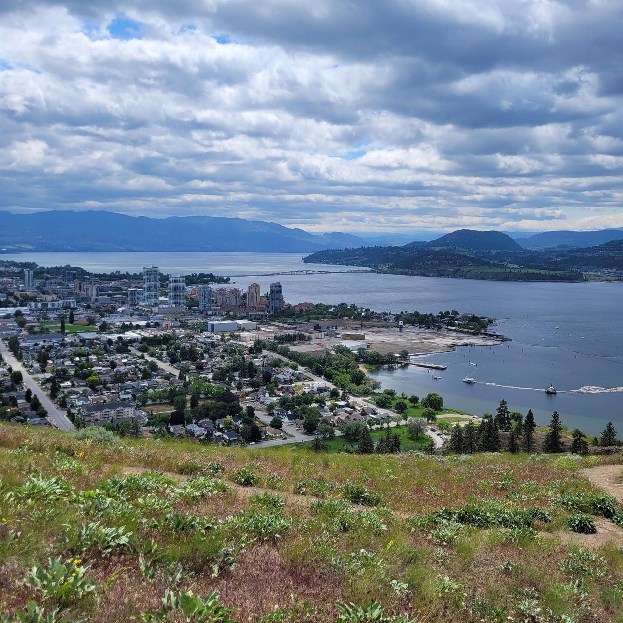
This is a fantastic vantage point with a sweeping panorama of the lake and rolling hills that define the region. If you're lucky enough to visit in the evening, it’s a beautiful spot to see the city during sunset.
0
0

12 km into the ride there is a Tim Hortons and an IFresh cafe. Ideal for a quick stop and a popular place for other cyclists to take a break. IFresh has a children's menu which can provide for a tasty and cheap ($4.99) snack for us adults.
0
0
Frequently Asked Questions
How many road cycling routes are available in the East Central Okanagan Electoral Area?
There are over 50 road cycling routes in the East Central Okanagan Electoral Area, offering diverse options for all skill levels. These include 12 easy routes, 36 moderate routes, and 8 difficult routes.
When is the best time of year for road cycling in the East Central Okanagan Electoral Area?
The cycling season in the East Central Okanagan Electoral Area is extended, typically running from early April to October. This period offers favorable weather conditions for exploring the region's diverse landscapes.
Are there road cycling routes suitable for beginners or families?
Yes, the region offers several routes suitable for beginners and families. An easier option is the Stuart Park loop from Kelowna, which is 28.5 km. You can also find 12 easy routes listed on komoot, such as the Tim Hortons and IFresh Café loop from Pandosy, which is 38.5 km.
Where can I find challenging road cycling routes for experienced cyclists?
For experienced cyclists seeking a challenge, the East Central Okanagan Electoral Area offers routes with significant elevation gain. Consider 'Kelowna's Climbs,' a difficult route over 100 km with approximately 2000 m of vertical gain. Another option is the Okanagan Valley Viewpoint – Tim Hortons and IFresh Café loop from Glenmore, a moderate 72.8 km route with over 860 m of ascent.
Are there scenic viewpoints or attractions along the road cycling routes?
Absolutely. Many routes offer stunning views of Okanagan Lake and Kalamalka Lake. You can also cycle past significant natural features like Myra Canyon, or visit Okanagan Valley Viewpoint for panoramic vistas. Mill Creek Falls at Mill Creek Regional Park is another easily accessible scenic spot.
Are there any loop road cycling trails in the Okanagan Valley?
Yes, the region features numerous loop trails. Popular options include the 'Myra Canyon Trestle Bridge loop' and 'Myra Canyon Tunnels loop'. The Wooden Boardwalk – Tim Hortons and IFresh Café loop from Kelowna is a moderate 34.6 km route that offers a scenic ride.
What kind of landscapes can I expect while road cycling in the East Central Okanagan Electoral Area?
The East Central Okanagan Electoral Area boasts diverse landscapes, from rugged grasslands and forests to scenic lake views and mountainous terrain. You'll encounter bluffs, basalt cliffs, and canyons, with routes often winding through picturesque orchards and vineyards.
What do other road cyclists enjoy the most about road cycling in the East Central Okanagan Electoral Area?
The area is highly rated by the komoot community, with an average score of 4.8 stars from over 15 reviews. Cyclists often praise the diverse terrain, from challenging climbs to scenic lakeside rides, and the well-maintained routes that showcase the region's natural beauty.
Are there any routes that pass through vineyards or orchards?
Yes, the region is known for its agricultural landscapes. 'The Classic: East Kelowna Road Ride' is a 72.82 km route that takes you through orchards and vineyards, offering a taste of East Kelowna's distinct personality. The Naramata Loop, slightly south in Penticton, also offers rides through vineyards.
What are some longer road cycling routes available?
For longer rides, consider 'The Classic: East Kelowna Road Ride' at 72.82 km, or the Okanagan Valley Viewpoint – Tim Hortons and IFresh Café loop from Glenmore, which covers 72.8 km. The 'Kelowna's Climbs' route is also over 100 km for those seeking an extended challenge.
Are there any road cycling routes that feature unique structures or historical elements?
Yes, the Myra Canyon area is famous for its historical structures. The 'Myra Canyon Trestle Bridge loop' features iconic steel trestles, and the 'Myra Canyon Tunnels loop' offers a unique cycling experience through the historic railway tunnels. You can also explore the Kettle Valley Rail Trail, which incorporates parts of the historic railway.
Are there routes with views of Okanagan Lake?
Many routes in the East Central Okanagan Electoral Area offer stunning views of Okanagan Lake. 'The Lakeshore 50 Road Route' is a 48.75 km route specifically designed to provide continuous views of the lake and its surrounding properties. The Naramata Loop also offers spectacular Okanagan Lake vistas.
Most popular routes around East Central Okanagan Electoral Area
Most popular attractions around East Central Okanagan Electoral Area

Get inspired with the komoot mobile app


Explore more
Browse the best Road cycling routes in other regions.
