The best road cycling routes around Nøklevann
4.4
(52)
3,512
riders
72
rides
Road cycling routes around Nøklevann are situated within the Østmarka forest, offering varied terrain just outside Oslo. The region features dense forests and rolling hills, providing a natural setting for road cyclists. Nøklevann itself is characterized by scenic lake views and accessible natural attractions. The area's topography includes consistent elevation changes, making it suitable for diverse road cycling experiences.
Best road cycling routes around Nøklevann
- The most popular road cycling route is Lovely and quiet back road – Lake View…
Last updated: July 19, 2026
19
riders
115km
05:07
1,090m
1,090m
Hard road ride. Very good fitness required. Some segments of this route may be unpaved and difficult to ride.
5
riders
135km
06:21
1,250m
1,250m
Hard road ride. Very good fitness required. Some segments of this route may be unpaved and difficult to ride.

Sign up for free
4
riders
123km
05:27
1,120m
1,120m
Hard road ride. Very good fitness required. Mostly well-paved surfaces and easy to ride.
2
riders
123km
05:34
1,280m
1,280m
Hard road ride. Very good fitness required. Some segments of this route may be unpaved and difficult to ride.
19
riders
69.3km
03:03
550m
550m
Moderate road ride. Good fitness required. Mostly well-paved surfaces and easy to ride.
Get access to more routes and recommendations from other explorers.
Sign up for free
Already have an account?
Our route recommendations are based on thousands of hikes, rides, and runs completed by other people on komoot.
Start today with a free account
Your next adventure awaits.
Login or Signup

Tips from the Community

Enjoy a quieter stretch through the countryside with open fields and rural scenery.
0
0

The Aurmoen landskapsvernområde is a nature reserve north of Oslo Airport. Here you will find a car park that serves as the starting point for the many paths that criss-cross the area. As it borders a military base, you should check in advance whether any exercises are taking place. You can find the barracks' telephone number here: https://www.forsvaret.no/om-forsvaret/tjenestesteder/sessvollmoen.
0
0


Almost every bit of road that leads to and from this place is a premium road cycling road.
0
0

Viewpoint directly on the footpath and cycle path. Beautiful views of Oslo directly from the path, but no rest stop.
1
0

Great little cafe at the train station, very friendly to cyclists.
0
0

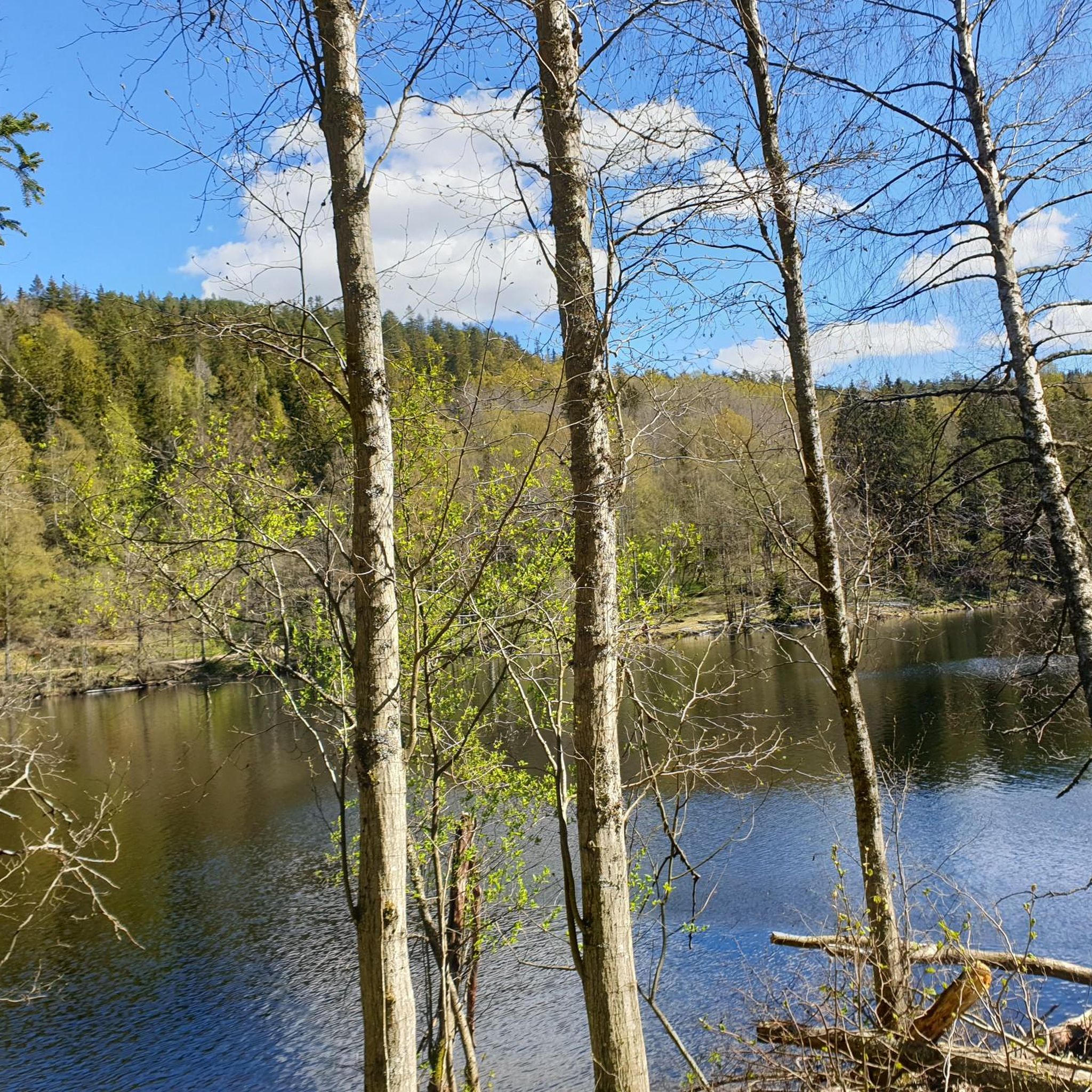
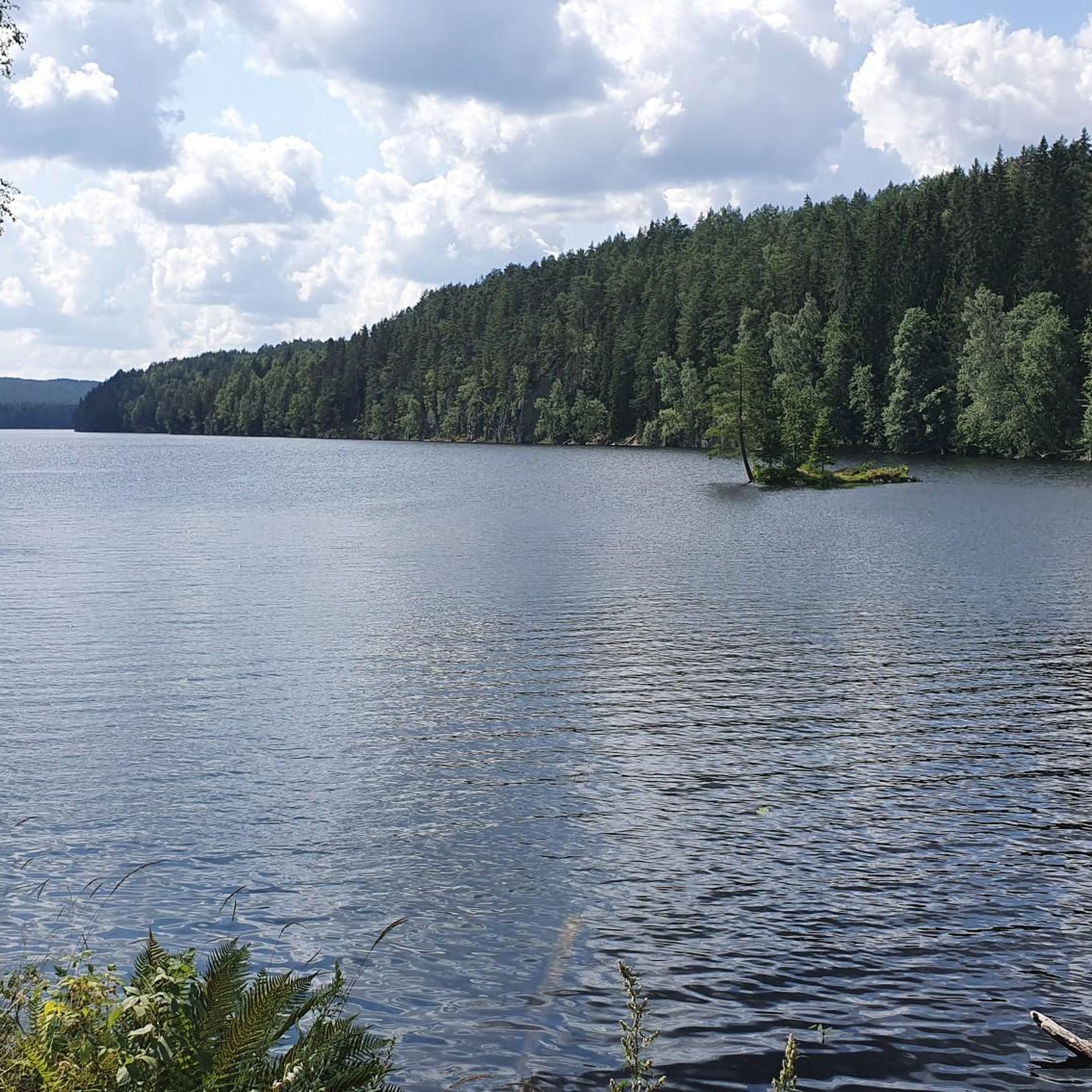
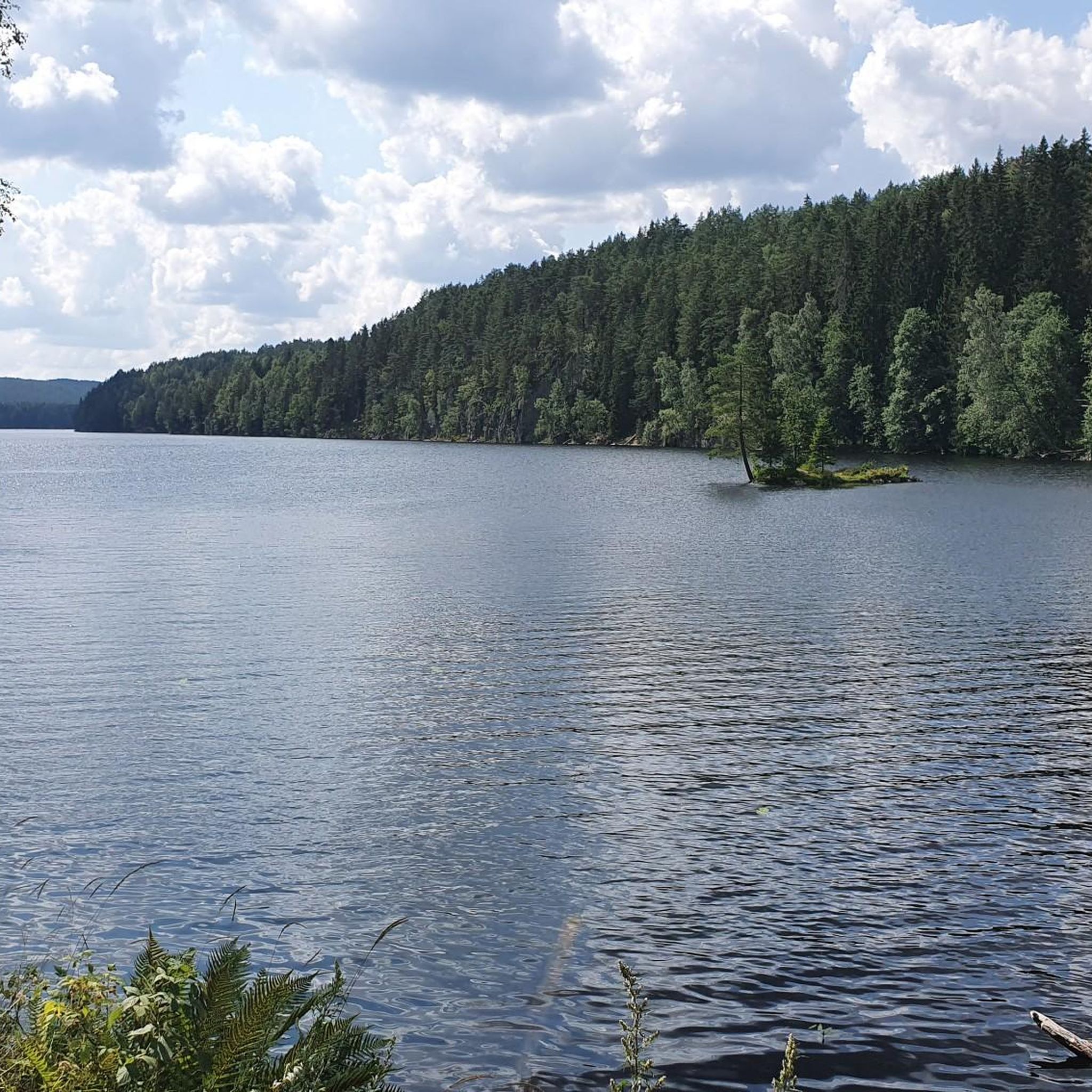
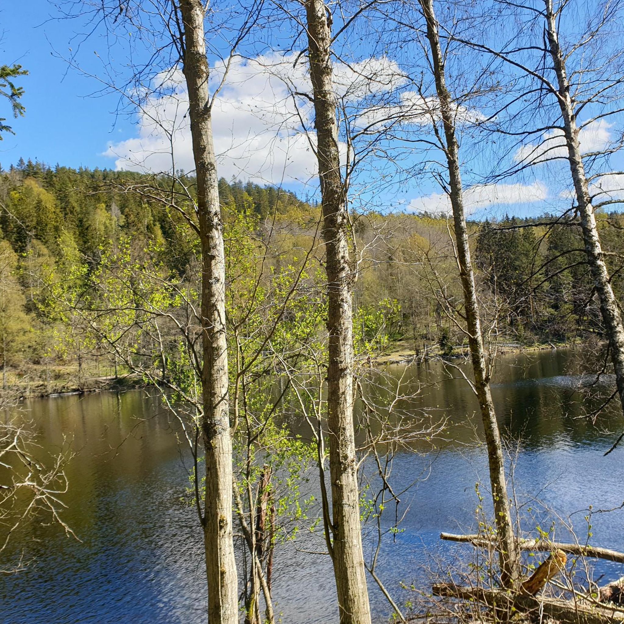
Nice view of the lake from the road. It's peaceful and picturesque, and the road is undulating and smooth. A very nice place to ride a bike.
0
0

Perfect bike road between Spydeberg and Lyseren.
0
0
Frequently Asked Questions
What kind of terrain can I expect on road cycling routes around Nøklevann?
The road cycling routes around Nøklevann are characterized by varied terrain, including dense forests and rolling hills. While the main route around Nøklevann itself is a "slightly rolling and varied" gravel roadway, the broader region offers a mix of paved and gravel surfaces. This means bikes with slightly wider tires or gravel bikes might offer a more comfortable ride on some sections, though many routes are suitable for traditional road bikes.
Are there road cycling routes suitable for beginners or families in Nøklevann?
Yes, Nøklevann offers routes for various skill levels. While many routes are classified as moderate or difficult, there are 7 easy routes available. The popular 10-kilometer route around Nøklevann and Ulsrudvann, with an incline of approximately 125 meters, is considered engaging without being overly strenuous, making it a good option for those looking for a more relaxed ride. For specific family-friendly options, consider routes with less elevation gain and shorter distances.
How can I reach the road cycling routes around Nøklevann using public transport?
Nøklevann is easily accessible by public transport from Oslo. You can take a tram to Bogerud Station. From there, it's a short walk to Rustadsaga sportstue, which is a common starting point for many cycling routes in the area.
Where can I park my car when visiting Nøklevann for road cycling?
While the region research mentions public transport accessibility, specific parking locations are not detailed. However, common starting points like Rustadsaga sportstue often have nearby parking facilities. It's advisable to check local signage upon arrival or use navigation apps for parking options near your chosen starting point.
What natural features and viewpoints can I discover along the road cycling routes?
The routes around Nøklevann offer stunning natural beauty. You'll find lovely views of the lake at various points, with crystal-clear waters reflecting the surrounding forests. The area is part of the larger Østmarka wilderness, providing dense forests and rolling hills. Less than a kilometer north of Kattisa and Bråten, Bremsrud offers a great break spot with views of Nøklevann's distinctive rock faces. The region is also home to diverse wildlife, including deer, foxes, and various bird species.
Are there any opportunities for swimming along the road cycling routes?
Yes, during warmer months, Nøklevann offers opportunities for a refreshing dip. Places like Kattisa and Bråten are ideal spots for swimming, allowing you to combine your cycling trip with a break by the water.
What is the best time of year to go road cycling around Nøklevann?
The region is beautiful year-round, but for road cycling, spring through autumn generally offers the most pleasant conditions. To avoid crowds, especially on weekends, it's advisable to plan your rides for early mornings or late afternoons, as the area is also popular with hikers.
Are dogs allowed on the road cycling trails around Nøklevann?
The Nøklevann area, being part of the Norwegian 'friluftsliv' tradition, generally welcomes outdoor activities. While specific regulations for dogs on cycling trails are not detailed, it's common in Norway for dogs to be allowed on trails, often on a leash. Always ensure your dog is under control and respect local guidelines or signage regarding pets.
What do other road cyclists enjoy most about the routes in Nøklevann?
The road cycling routes around Nøklevann are highly rated by the komoot community, with an average score of 4.4 stars from over 44 reviews. Cyclists often praise the varied terrain, the immersive natural setting within the Østmarka forest, and the scenic lake views. The blend of challenging sections and tranquil spots makes it a beloved destination for many.
Can you recommend a challenging road cycling route around Nøklevann?
For experienced cyclists seeking a challenge, the View of Oslo from Ekebergveien – Trandumskogen Tank Shooting Range loop from Bogerud is a difficult 84.0-mile (135.2 km) path. This route features significant elevation changes and offers expansive views of Oslo from Ekebergveien, providing a demanding yet rewarding experience.
Are there any cafes or break spots along the road cycling routes?
While specific cafes directly on all routes are not listed, Rustadsaga sportstue, a common starting point, often serves as a hub for refreshments. Additionally, less than a kilometer north of Kattisa and Bråten, Bremsrud offers a great break spot with scenic views of Nøklevann's rock faces, perfect for a picnic or a short rest.
How long does it typically take to complete a road cycling route around Nøklevann?
The duration varies significantly depending on the route's length and difficulty. For example, the Lovely and quiet back road – Lake View in Østmarka loop from Bøler, a difficult 71.4-mile (114.8 km) trail, typically takes around 5 hours and 8 minutes. Shorter, easier routes will naturally take less time.
Most popular routes around Nøklevann

Get inspired with the komoot mobile app


Explore more
Browse the best Road cycling routes in other regions.
