The best road cycling routes around Burlington
4.6
(87)
2,055
riders
45
rides
Road cycling around Burlington offers diverse terrain, from flat lakeside paths to rolling hills. The region is characterized by its proximity to Lake Champlain, providing scenic waterfront routes, and the accessible foothills of the Green Mountains, which present more challenging climbs. The Winooski River valley also features in several routes, connecting different parts of the area's cycling network. Cyclists can explore rural New England countryside, cornfields, and historic areas, with options extending to the Champlain Islands.
Best road cycling routes around Burlington
- The most popular road cycling route is Rolling Hills – View of Lake Ontario loop from Aldershot, a 35.0 miles (56.3 km) trail that takes 2 hours 21 minutes to complete. This moderate route features varied terrain with views of the surrounding landscape.
- Another top favourite among local road cyclists is Beach at Burlington Waterfront loop from Burlington, an easy 24.7 miles (39.8 km) path. This route offers flat riding along the waterfront, showcasing Lake Champlain.
- Local road cyclists also love the Flying Monkey Coffee Bar – Red Tulips in Bloom loop from Appleby, a 46.8 miles (75.3 km) trail leading through rural countryside and gardens, often completed in about 3 hours 7 minutes.
- Road cycling around Burlington is defined by the Lake Champlain shoreline, Green Mountains foothills, and rural New England countryside. The network offers options for different ability levels, from easy waterfront rides to moderate routes with elevation gain.
- The routes in Burlington are highly rated by the komoot community with an average score of 4.8 stars from over 20 reviews. More than 700 road cyclists have used komoot to explore Burlington's varied terrain.
Last updated: October 7, 2026
5.0
(1)
66
riders
55.5km
02:20
200m
200m
Moderate road ride. Good fitness required. Some segments of this route may be unpaved and difficult to ride.
5.0
(2)
38
riders
Easy road ride. Great for any fitness level. Mostly well-paved surfaces and easy to ride.

29
riders
75.4km
03:06
450m
450m
Moderate road ride. Good fitness required. Mostly well-paved surfaces and easy to ride.
4.0
(1)
26
riders
54.7km
02:13
310m
310m
Moderate road ride. Good fitness required. Mostly well-paved surfaces and easy to ride.
4.0
(1)
36
riders
28.5km
01:10
160m
160m
Easy road ride. Great for any fitness level. Mostly well-paved surfaces and easy to ride.
Get access to more routes and recommendations from other explorers.
Already have an account?
Our route recommendations are based on thousands of hikes, rides, and runs completed by other people on komoot.
Start today with a free account
Your next adventure awaits.
Tips from the Community

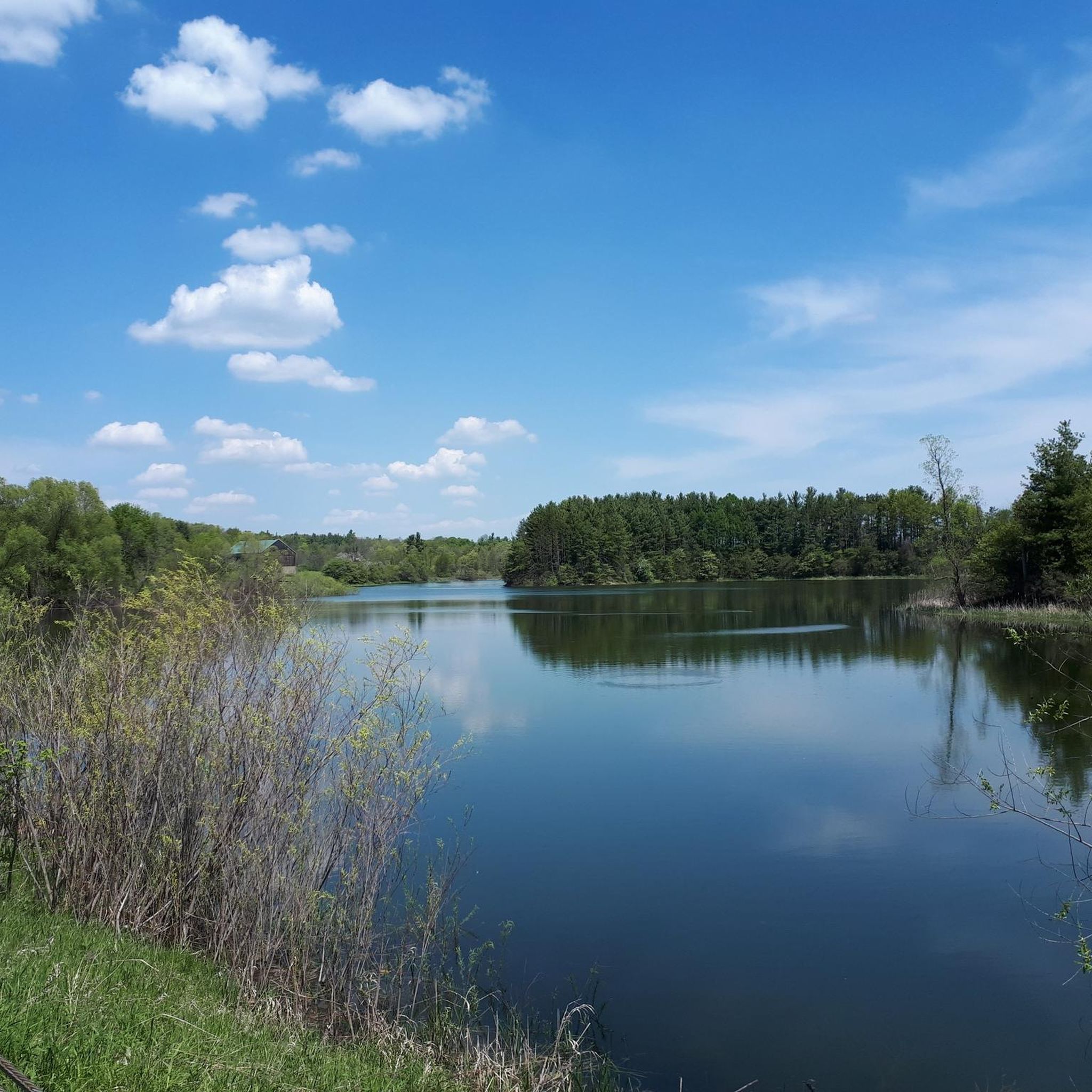
These informative signs sit along the Bronte Creek Heritage Trail, and create an educational journey down the “Moccasin Trail”. Learn about the tradition of the Anishinaabe (the Original People), and the Haudenosaunee (People of the Longhouse), their traditional teachings, native animals and more. Be sure to stop and take in all the signs have to say while enjoying the surrounding nature.
0
0
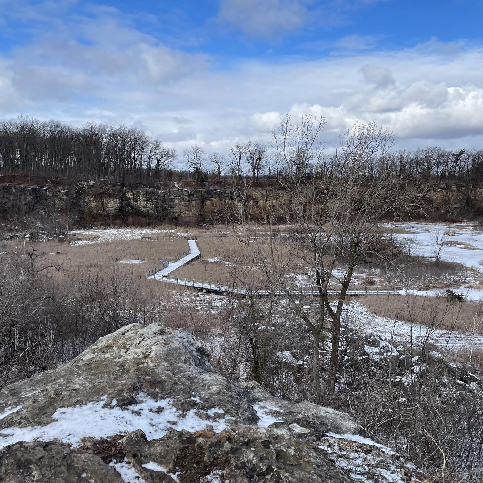
This small side jaunt leads to a great viewpoint over Bronte Marsh. Weeping willows, fields of reeds and the winding waters of Bronte Creek are all visible. It's also a great birdwatching spot for local and migratory birds like wood ducks, great blue herons, belted kingfishers, double-crested cormorants, and flycatchers.
0
0

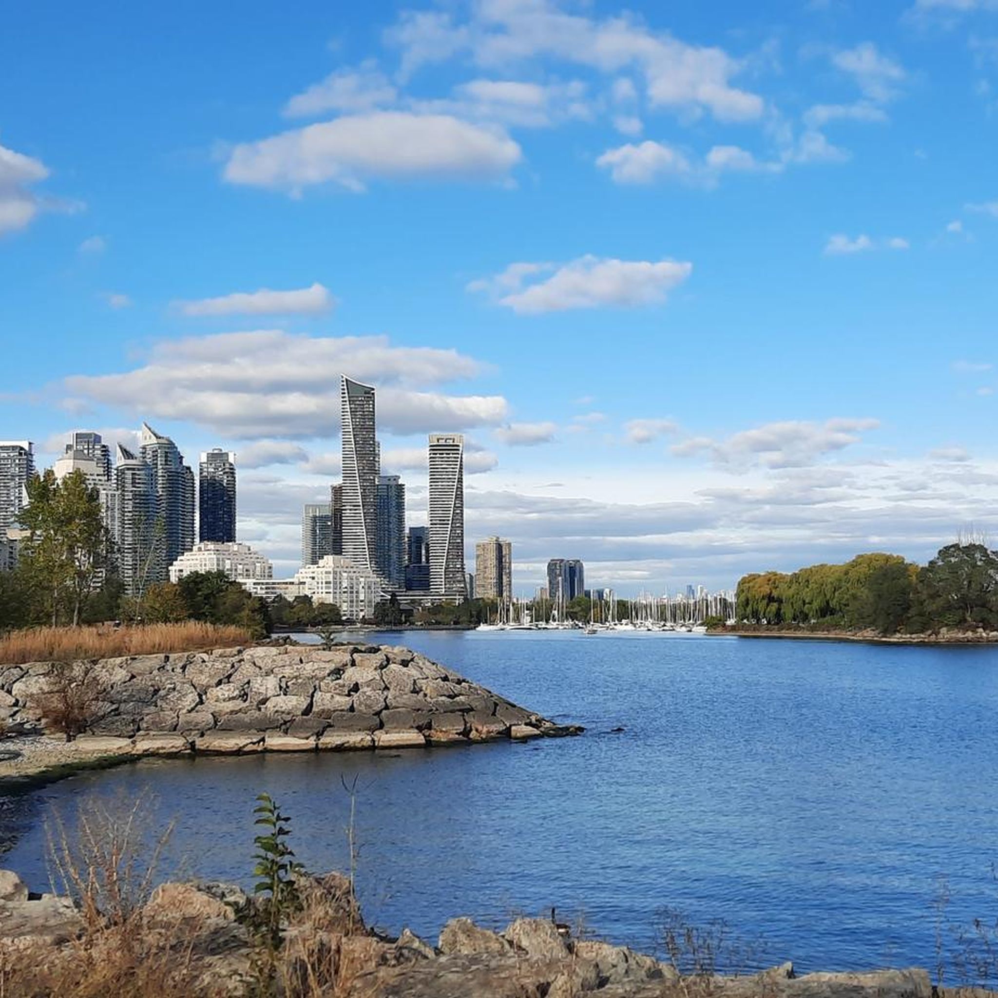
Hamilton Beach sits on a narrow strip between Lake Ontario and Hamilton Harbour, with open lake views contrasting against the Skyway Bridge and passing ships. A wide, mostly level asphalt trail follows the shoreline, making this an easy spot for walking, running, and cycling. Several access points and parking areas line the route, while washrooms are available at Confederation Beach Park during limited hours.
0
0
This wide, mostly level paved trail follows the Lake Ontario shoreline for 4.3 kilometres, passing sandy beaches, open parkland, and long stretches of uninterrupted water views. It is popular with walkers, runners, cyclists, and inline skaters, so expect a busy shared path on summer days. The trail continues west towards the Burlington Canal Lift Bridge, while parking and limited-hour washrooms are available at Confederation Beach Park.
0
0

Set along the shore of Lake Ontario, Confederation Beach Park is a great waterfront park with a beach and swimming area, a paved promenade that links into the regional Waterfront Trail, and attractions including a water park, mini-golf, go-karts, and a beachfront restaurant. With picnic lawns, natural woodlots and year-round access, it offers something for everyone.
1
0


Busy spot with pedestrians. Slow down and make sure to use your bell.
0
0

Frequently Asked Questions
What types of road cycling terrain can I expect around Burlington?
Burlington offers a diverse range of road cycling terrain. You'll find flat, scenic paths along the Lake Champlain shoreline, such as the Burlington Greenway, as well as rolling hills in the accessible foothills of the Green Mountains. Routes also explore the Winooski River valley and rural New England countryside, providing options from easy waterfront rides to moderate routes with significant elevation gain.
Are there any easy, family-friendly road cycling routes in Burlington?
Yes, Burlington is very family-friendly for cyclists. The Burlington Greenway / Island Line Trail is a paved, car-free path running along the Lake Champlain shoreline, ideal for all fitness levels. For a specific route, consider the Beach at Burlington Waterfront loop from Burlington, an easy 24.7-mile path that offers flat riding and beautiful views of Lake Champlain.
What are some scenic landmarks or attractions I can see while road cycling in Burlington?
Many routes offer breathtaking views of Lake Champlain and the distant Adirondack Mountains. You can also cycle through picturesque rural New England countryside, past cornfields, historic homes, and gardens. For specific attractions, consider routes that pass by Crawford Lake or the various waterfalls like Borer's Falls and Hilton Falls. The Burlington Greenway itself connects major waterfront parks like Oakledge Park, North Beach, and Leddy Park.
Are there challenging road cycling routes for experienced riders in the Burlington area?
While Burlington offers many accessible routes, more challenging rides are available, especially as you venture towards the Green Mountains. The sinuous and steep Appalachian Gap, for instance, caters to experienced cyclists seeking a significant climb. Longer loops to places like Middlebury also provide more demanding rides with greater elevation.
What is the best time of year for road biking in Burlington, Vermont?
The best time for road biking in Burlington is generally from spring through fall. During these seasons, the weather is pleasant, and the natural beauty of Lake Champlain and the Green Mountains is at its peak. Fall offers stunning foliage, making it a particularly picturesque time to ride.
Are there loop road cycling routes available around Burlington?
Yes, many road cycling routes around Burlington are designed as loops, allowing you to start and end at the same point. An example of a moderate loop is the Rolling Hills – View of Lake Ontario loop from Aldershot, which covers 35 miles with varied terrain. Another option is the Flying Monkey Coffee Bar – Red Tulips in Bloom loop from Appleby, a 46.8-mile route through rural countryside.
Where can I find parking for road cycling trails in Burlington?
Burlington is bike-friendly, and many parks and trailheads offer parking. For routes along the Burlington Greenway, you can often find parking at major waterfront parks like Oakledge Park, North Beach, and Leddy Park. Some routes, like the Roadbike loop from Visitor Parking, even specify visitor parking as a starting point.
Can I access Burlington's cycling routes using public transport?
Burlington's commitment to cycling includes good accessibility. While specific public transport connections to every trailhead might vary, the city's infrastructure and compact nature make many routes, especially those along the waterfront and downtown, easily reachable. The Burlington Greenway is well-integrated into the city, making it accessible from various points.
What do other road cyclists enjoy most about road cycling in Burlington?
The road cycling routes in Burlington are highly rated by the komoot community, with an average score of 4.8 stars from over 20 reviews. Cyclists often praise the diverse terrain, from serene lakeside paths to challenging mountain foothills, and the stunning views of Lake Champlain and the surrounding natural beauty. The well-maintained trails and vibrant cycling culture are also frequently highlighted.
Are there cafes or places to stop for refreshments along Burlington's bike trails?
Yes, Burlington's bike-friendly environment means you'll find various cafes and establishments near popular cycling routes. The Burlington Greenway, for example, runs through the downtown area and connects to parks, offering numerous opportunities for breaks and refreshments. Specific routes, like the Flying Monkey Coffee Bar – Red Tulips in Bloom loop from Dundas St @ Hwy 407 Park & Ride, even feature coffee shops in their names, indicating popular stopping points.
How many road cycling routes are available around Burlington?
There are over 50 road cycling routes available around Burlington, catering to various skill levels. These include 18 easy routes, 40 moderate routes, and 1 difficult route, ensuring options for everyone from beginners to experienced cyclists.
Most popular attractions around Burlington

Get inspired with the komoot mobile app


Explore more
Browse the best Road cycling routes in other regions.
