The best cycling routes around South Stormont
4.3
(111)
617
riders
15
rides
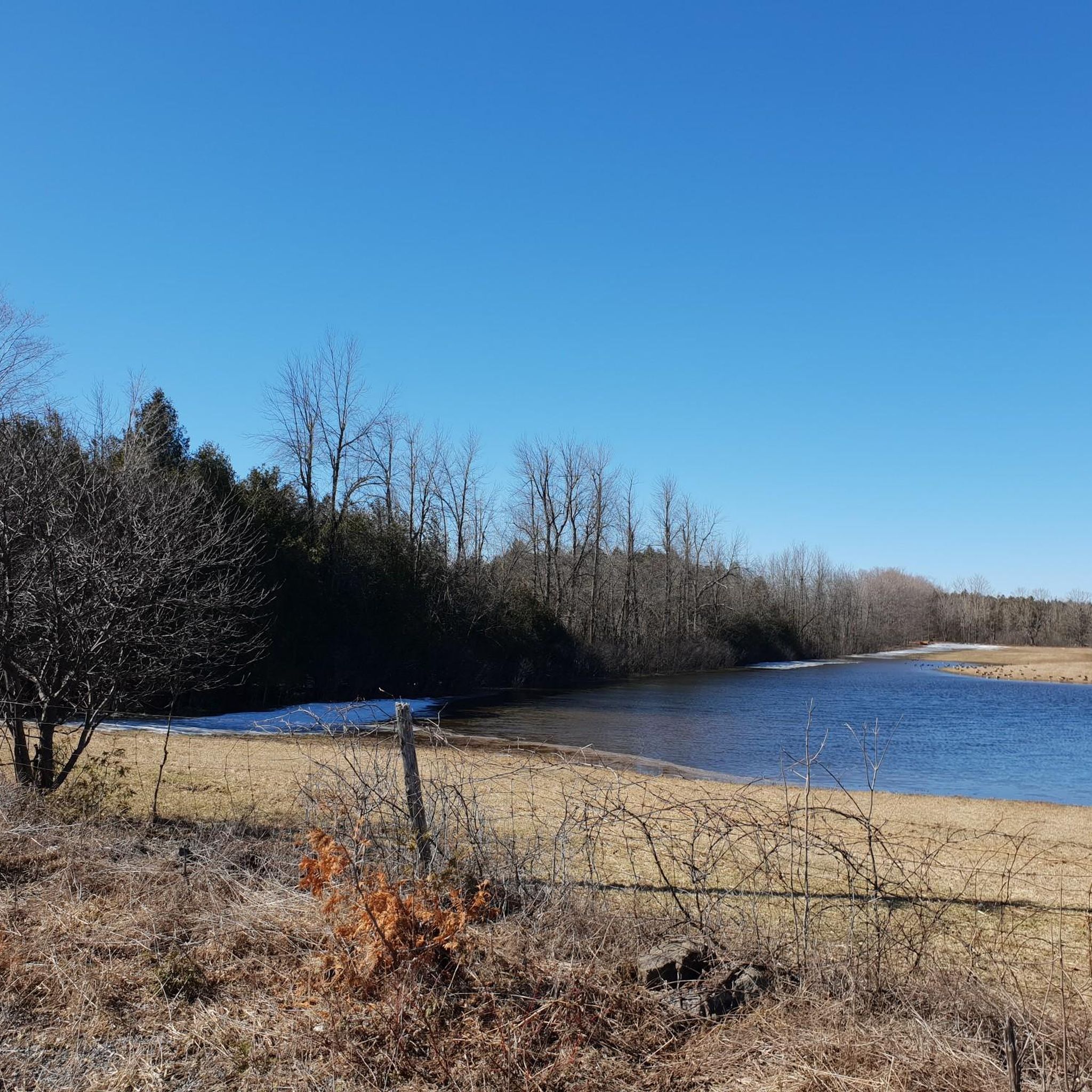
Touring cycling routes around South Stormont are characterized by the region's position along the St. Lawrence River, offering generally flat terrain ideal for cycling. The landscape features a blend of scenic waterfronts, woodlands, meadows, and wetlands, particularly along the Long Sault Parkway. This area provides well-maintained trails, including sections of the Great Lakes Waterfront Trail, which are often off-road and dedicated paths. The elevation changes are minimal, making it suitable for various touring cycling experiences.
Best touring cycling routes around…
Last updated: September 28, 2026
4.9
(12)
115
riders
Moderate bike ride. Good fitness required. Mostly paved surfaces. Suitable for all skill levels.
4.8
(9)
109
riders
62.0km
03:34
230m
230m
Moderate bike ride. Good fitness required. Mostly paved surfaces. Suitable for all skill levels.

4.8
(19)
57
riders
Moderate bike ride. Good fitness required. Mostly paved surfaces. Suitable for all skill levels.
4.5
(2)
67
riders
41.0km
02:27
160m
160m
Moderate bike ride. Good fitness required. Mostly paved surfaces. Suitable for all skill levels.
4.3
(3)
38
riders
22.2km
01:21
110m
110m
Easy bike ride. Great for any fitness level. Mostly paved surfaces. Suitable for all skill levels.
Get access to more routes and recommendations from other explorers.
Already have an account?
Our route recommendations are based on thousands of hikes, rides, and runs completed by other people on komoot.
Start today with a free account
Your next adventure awaits.
Popular around South Stormont
Tips from the Community

The Long Sault Parkway hops across 11 islands for more than 10 kilometres through the Saint Lawrence River, but here’s the twist: these islands are the high ground left behind when construction of the Saint Lawrence Seaway flooded former riverside communities in 1958. The Parkway’s islands were deliberately linked after the flooding, which makes the whole place feel a bit like an outdoor history map. Today, beaches, trails, and picnic spots sit above a partly submerged landscape, including an old canal lock that scuba divers can still explore underwater.
0
0
Woodlands Beach is a quiet riverside stop along the Long Sault Parkway, with a sandy shoreline, calm Saint Lawrence views, and plenty of space to picnic or relax by the water. Swimming and canoe/kayak access make it an easy place to turn a walk or ride into a proper summer pause.
0
0
Mille Roches Beach is a broad sandy pause along the Long Sault Parkway, perfect for swimming, picnicking, or simply stretching out beside the Saint Lawrence. Look beyond the beach, and there’s a remarkable story under the water: the Parkway’s islands are linked to the Lost Villages, flooded during the construction of the Saint Lawrence Seaway in the 1950s.
0
0

You never know quite what you'll see along the Great Lakes Waterfront Trail. This stretch of it spans the entire waterfront of Cornwall, offering great views of the historic Cornwall Canal and the Saint Lawrence River.
0
0
This portion of the paved, multiuse Great Lakes Waterfront Trail passes through bustling Lamoureux Park. In the park you'll find a busy aquatic centre, a civic complex, a community museum, Rotary eco-gardens and much more.
0
0
Here, the Great Lakes Waterfront Trail crosses a direct access point for 500-acre Guindon Park. The park offers several loop trails great for walking, running, skiing and various types of cycling.
0
0

This is not the Long Sault dam, that one is located upstream, this is the Moses-Saunders Power Dam located in the west end of the city of Cornwall.
0
0

Just remember most places closed in October
0
0
Frequently Asked Questions
What kind of terrain can I expect on touring cycling routes in South Stormont?
South Stormont's touring cycling routes are generally flat, making them ideal for a relaxed ride. The landscape is characterized by scenic waterfronts along the St. Lawrence River, woodlands, meadows, and wetlands, especially along the picturesque Long Sault Parkway. Elevation changes are minimal, suitable for various cycling experiences.
Are there any family-friendly cycling options in South Stormont?
Yes, South Stormont offers several family-friendly cycling options. The region features well-maintained trails, including sections of the Great Lakes Waterfront Trail, which are often off-road and dedicated paths, ensuring a safe and enjoyable experience for all ages. Many routes are on mostly paved surfaces, suitable for various skill levels.
Can I find routes that are suitable for beginners or those looking for an easy ride?
Absolutely. South Stormont has 9 easy touring cycling routes, perfect for beginners or those seeking a leisurely ride. The flat terrain and dedicated paths make it accessible. For example, the Long Sault Dam – Wooded and Waterfront Trail loop from Long Sault offers a moderate but manageable ride through varied scenery.
What are some notable natural attractions I can explore by bike?
The **Long Sault Parkway** is a highlight, offering a picturesque ride across a series of small islands connected by bridges, showcasing woodlands, meadows, and wetlands. Another significant natural attraction is the **Upper Canada Migratory Bird Sanctuary**, which provides exceptional opportunities for wildlife viewing and immersion in a tranquil natural environment.
Are there any circular touring cycling routes available?
Yes, many of the touring cycling routes in South Stormont are loops, allowing you to start and end at the same point. Popular options include the Mille Roches Beach – Long Sault Dam loop from Nairne Island and the Long Sault Dam – Mille Roches Beach loop from Cornwall, both offering extensive waterfront cycling.
What historical sites can I visit while cycling in South Stormont?
The **Lost Villages Museum** in Ault Park is a significant historical site, telling the story of villages submerged during the St. Lawrence Seaway construction. The museum features heritage buildings moved and restored from these communities. Ault Park also provides access to the Great Lakes Waterfront Trail, allowing you to combine history with your ride.
Is it possible to cycle along the St. Lawrence River?
Yes, the St. Lawrence River is a prominent feature of cycling in South Stormont. The Great Lakes Waterfront Trail runs through the community, with much of it consisting of off-road, dedicated paths directly along the river, providing natural beauty and scenic views.
What do other touring cyclists say about the routes in South Stormont?
The touring cycling routes in South Stormont are highly rated by the komoot community, with an average score of 4.4 stars from over 79 reviews. Cyclists often praise the scenic views along the St. Lawrence River, the well-maintained paths, and the generally flat terrain that makes for an enjoyable ride.
Are there specific routes that offer a mix of wooded and waterfront scenery?
Yes, routes like the Long Sault Dam – Wooded and Waterfront Trail loop from Cornwall are designed to offer a diverse experience, combining stretches through peaceful wooded areas with expansive views along the waterfront.
Where can I park my car to access the cycling trails?
Many popular cycling areas, such as Ault Park (home to the Lost Villages Museum) and various points along the Long Sault Parkway, offer parking facilities for trail access. Specific trailheads often have designated parking areas, making it convenient to start your ride.
What is the best time of year for touring cycling in South Stormont?
The best time for touring cycling in South Stormont is typically from spring through fall, when the weather is mild and the natural scenery is at its peak. The region's diverse landscapes, including woodlands and waterfronts, are particularly beautiful during these seasons.
Are there any long-distance touring cycling routes in the area?
While South Stormont offers many moderate-length routes, the region is part of the broader Great Lakes Waterfront Trail, which provides opportunities for longer-distance touring. Within South Stormont, routes like the Mille Roches Beach – Seaway loop from Miniature Train Station offer a substantial ride through waterfront areas.
Most popular routes around South Stormont

Get inspired with the komoot mobile app


Explore more
Browse the best Cycling routes in other regions.
