The best running trails around Bjørnsjøen
5.0
(2)
377
runners
23
runs
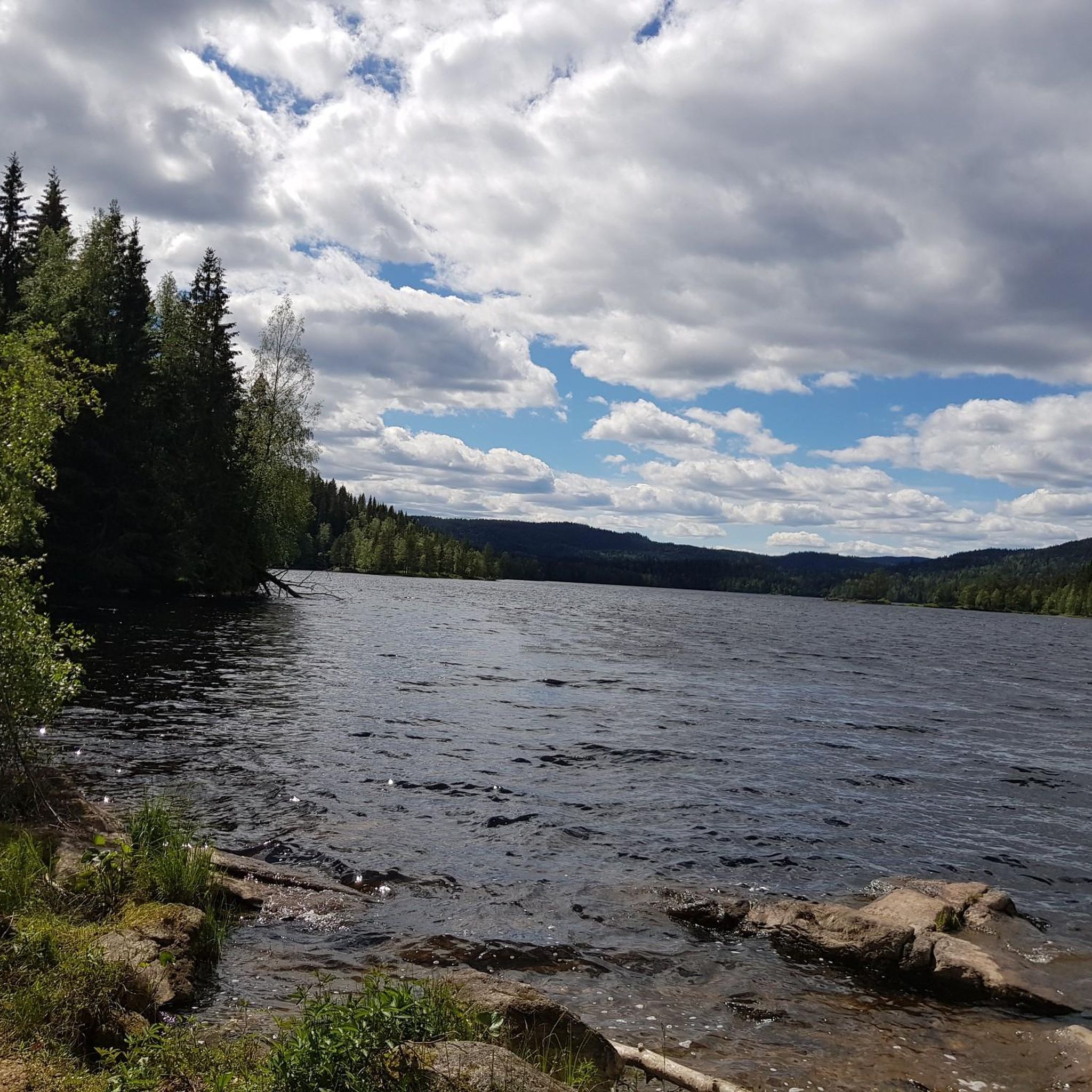
Jogging around Bjørnsjøen offers access to a diverse landscape within the expansive Nordmarka forest, just north of Oslo. The region is characterized by serene waters, dense forests, and varied terrain, providing a mix of natural ground, forest paths, and mountain hiking paths. Bjørnsjøen, the ninth largest lake in Nordmarka, is situated 337 meters above sea level, with its shores providing picturesque backdrops for runs. The area's extensive trail network caters to various fitness levels, from smoother sections to more challenging,…
Last updated: June 26, 2026
4
runners
19.8km
02:28
450m
450m
Hard run. Very good fitness required. Mostly paved surfaces. Suitable for all skill levels.
5.0
(1)
59
runners
17.8km
02:02
310m
310m
Hard run. Very good fitness required. Mostly paved surfaces. Suitable for all skill levels.

Sign up for free
39
runners
12.3km
01:23
250m
250m
Moderate run. Good fitness required. Mostly paved surfaces. Suitable for all skill levels.
35
runners
14.9km
01:42
270m
270m
Moderate run. Good fitness required. Mostly paved surfaces. Suitable for all skill levels.
22
runners
31.0km
03:39
480m
480m
Hard run. Very good fitness required. Mostly paved surfaces. Suitable for all skill levels.
Get access to more routes and recommendations from other explorers.
Sign up for free
Already have an account?
Our route recommendations are based on thousands of hikes, rides, and runs completed by other people on komoot.
Start today with a free account
Your next adventure awaits.
Login or Signup

Tips from the Community

Friendly staff, good food, just a very nice place to rest after a ride. Includes a splash in the lake or sauna inhouse. Staying a night or two makes totally sense since Nordmarka is an endless gravel paradise
0
0

Tryvannstua is a sports lodge café built in 1931. It is a cozy hut with a sun terrace and barbecue. Homemade food and both hot and cold drinks are available.
0
0

A worthwhile stopover… even in (late) summer
0
0


Well-known and very nice sports hall in Nordmarka
0
0
Enjoy the view of the forests and rolling hills from here.
0
0
Great view of the water and the pine trees from this bridge.
0
0

Nordmarkskapellet is a distinctive wooden chapel situated within the extensive Nordmarka forest, near Oslo. You will encounter it while cycling on the network of trails in this popular recreational area.
0
0
Frequently Asked Questions
How many running routes are available around Bjørnsjøen?
There are over 20 dedicated running routes around Bjørnsjøen, offering a diverse range of experiences within the Nordmarka forest. These routes cater to various fitness levels, with a mix of moderate and difficult trails.
What kind of terrain can I expect on the running trails near Bjørnsjøen?
The running trails around Bjørnsjøen feature a highly varied terrain. You'll encounter unpaved and natural ground, classic forest paths, mountain hiking paths, and forest roads. Some sections can be quite steep, providing a dynamic and engaging experience for runners.
What is the best time of year for jogging in Bjørnsjøen?
The best conditions for experiencing the lush scenery and enjoying the running trails around Bjørnsjøen are typically between May and October. During these months, the weather is generally milder, and the trails are most accessible.
Are there any moderate or beginner-friendly running routes in the Bjørnsjøen area?
Yes, while many routes are challenging, there are 11 moderate running routes available. For example, the Store Tryvannet Lake – Tryvannstua loop from Frognerseteren is a moderate 12.2 km path, and the Highest Lake at Tryvann loop from Frognerseteren is a moderate 8.3 km option, both suitable for those looking for less strenuous runs.
What are some notable natural features or landmarks I might see while running around Bjørnsjøen?
Jogging around Bjørnsjøen offers views of serene lakes, dense forests, and unique natural features. You might encounter the peaceful Lake Skjærsjøen, a charming red boathouse, and the impressive 22-meter-long Bjørnsjøhelvete Suspension Bridge, which hangs 13 meters above the Bjørnsjøelva river. The Store Tryvannet Lake – Kikutstua Café loop from Frognerseteren also passes by the Kikutstua cabin, a potential resting point.
Are there any circular running routes around Bjørnsjøen?
Yes, many of the running routes in the Bjørnsjøen area are designed as loops, offering a convenient way to explore the diverse landscape without retracing your steps. An example is the Store Tryvannet Lake – Tryvannstua loop from Frognerseteren, a moderate 12.2 km circular route.
What do other runners enjoy most about jogging in Bjørnsjøen?
The running routes around Bjørnsjøen are highly rated by the komoot community, with an average score of 5.0 stars. Runners often praise the area's diverse terrain, the stunning lake views, and the sense of wilderness within the accessible Nordmarka forest, providing a refreshing escape close to Oslo.
Is Bjørnsjøen suitable for family-friendly running or walks?
While many routes are challenging, the varied trail network around Bjørnsjøen does offer options for different ability levels. Families might find the smoother sections or shorter moderate routes more suitable for a shared outdoor experience, especially during the peak season between May and October.
Are there options for public transport to access the running trails around Bjørnsjøen?
Bjørnsjøen is part of the Nordmarka forest, which is generally accessible from Oslo. While specific public transport stops directly at Bjørnsjøen might be limited, many routes, such as those starting from Frognerseteren, are reachable via public transport connections from Oslo, allowing you to begin your run easily.
Are there any cafes or places to rest near the running routes?
Yes, the Kikutstua cabin, located at the northeastern shore of Bjørnsjøen, serves as a potential resting point or destination for longer runs. It's owned by the Association for the Promotion of Skiing and offers a place to refuel amidst the natural setting.
What is the general difficulty level of running routes in Bjørnsjøen?
The routes around Bjørnsjøen offer a mix of challenges. There are 11 moderate routes and 13 difficult routes, with no easy routes. This means runners should expect varied terrain, including some steep sections and significant elevation changes, making it ideal for those seeking a good workout.
Most popular routes around Bjørnsjøen

Get inspired with the komoot mobile app


Explore more
Browse the best Running Trails & Routes in other regions.
