The best road cycling routes around Unorganized North Algoma
5.0
(3)
34
riders
4
rides
Road cycling around Unorganized North Algoma features routes that traverse areas characterized by river valleys, lake regions, and mixed rural landscapes. The terrain generally includes gentle gradients and rolling sections, suitable for various road cycling experiences. Routes often follow waterways like the Root River and Goulais River, offering views of the local environment. The region provides a network of roads that connect natural features with local communities.
Best road cycling routes around Unorganized North Algoma
- The most popular road cycling…
Last updated: October 5, 2026
5.0
(2)
17
riders
Easy road ride. Great for any fitness level. Mostly well-paved surfaces and easy to ride.
5.0
(1)
7
riders
77.4km
03:23
690m
690m
Moderate road ride. Good fitness required. Mostly well-paved surfaces and easy to ride.

4
riders
27.1km
01:07
140m
140m
Easy road ride. Great for any fitness level. Mostly well-paved surfaces and easy to ride.
6
riders
60.8km
02:39
490m
490m
Moderate road ride. Good fitness required. Mostly well-paved surfaces and easy to ride.
Our route recommendations are based on thousands of hikes, rides, and runs completed by other people on komoot.
Start today with a free account
Your next adventure awaits.

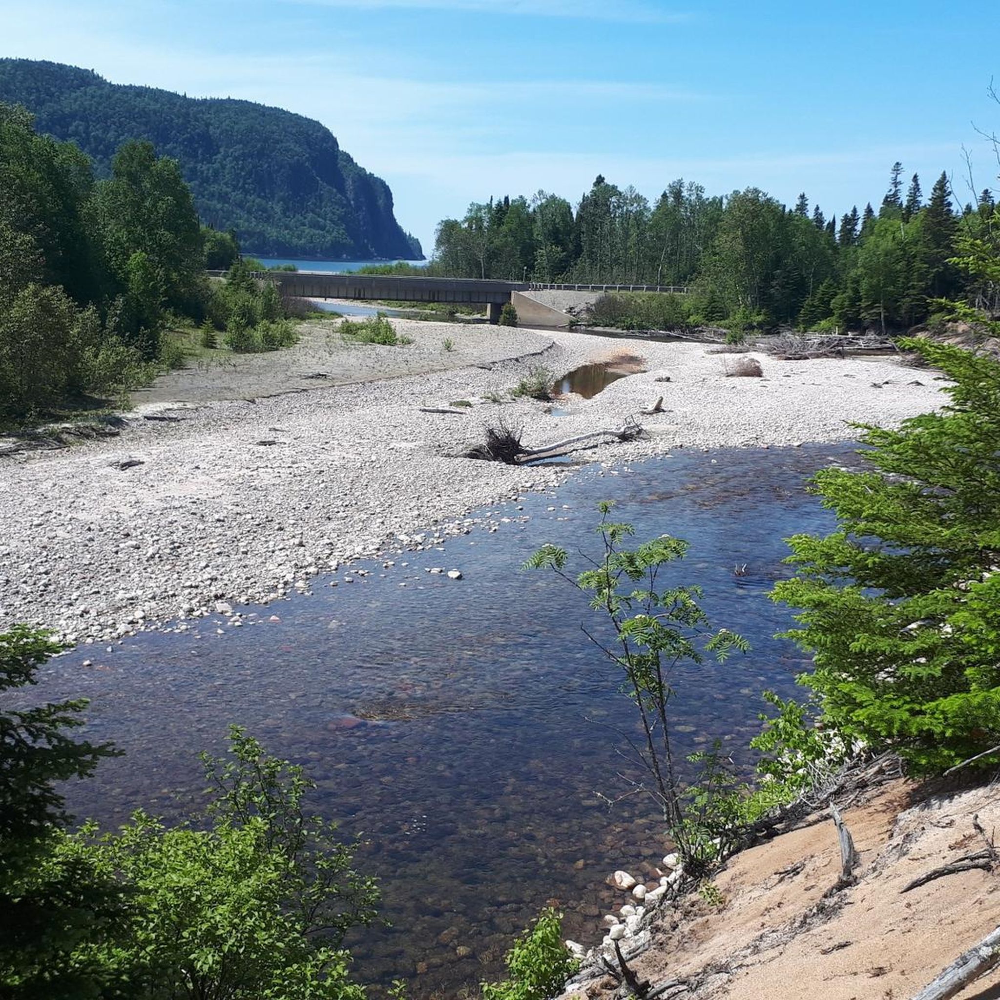
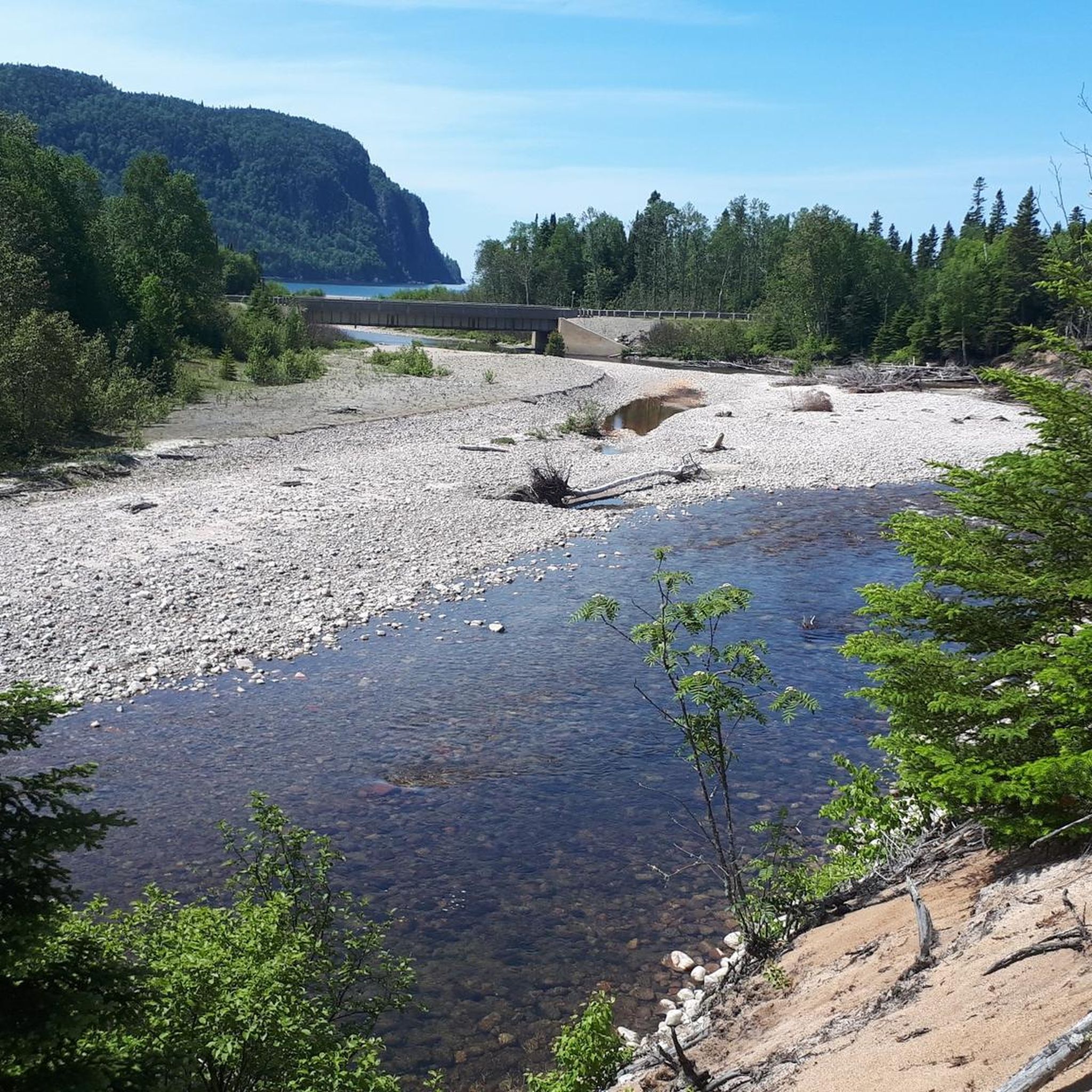

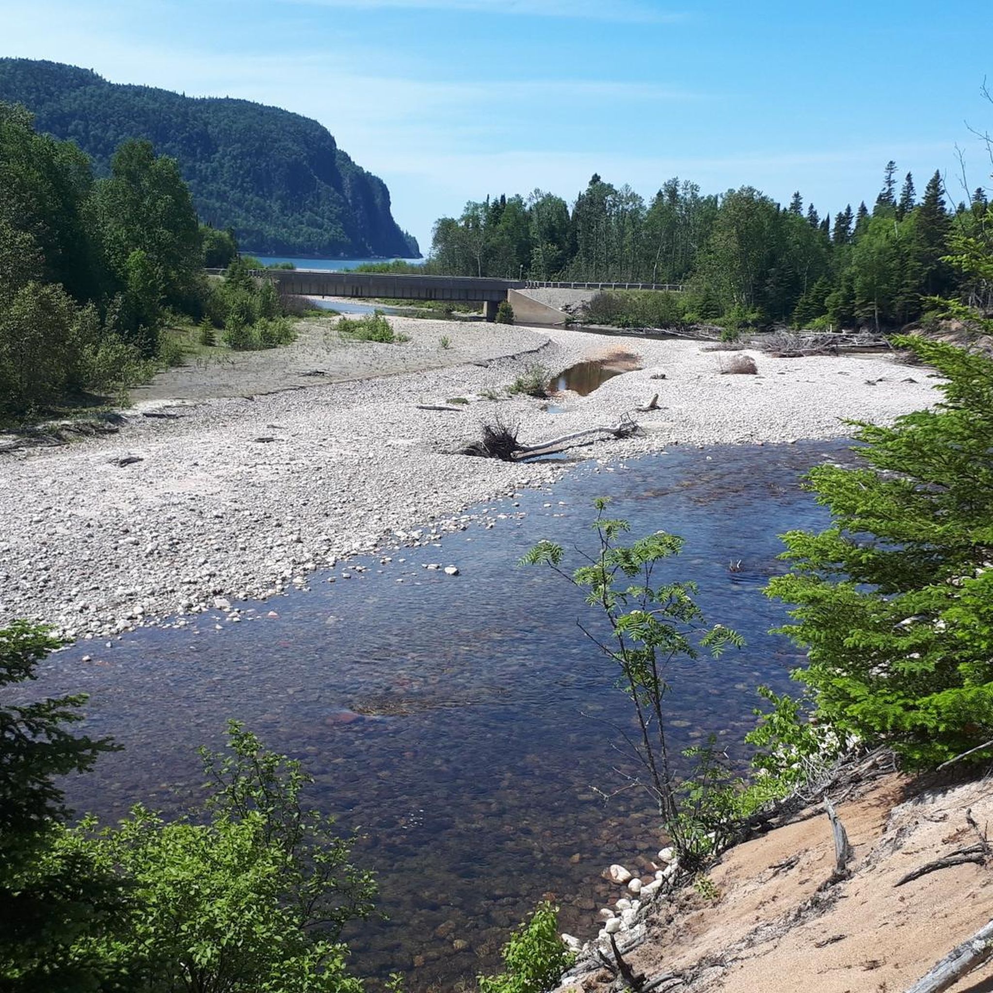
Other adventures around Unorganized North Algoma

Tips from the Community

Due to damage, the Sault Ste. Marie Canal was decommissioned in 1987. Only in 1998 was the lock reopened, but with a length of only 77 meters instead of the original 274 meters. The lock is now open from mid-May to mid-October for recreational activities. (Visit on May 27, 2026) https://parks.canada.ca/lhn-nhs/on/ssmarie/culture/histoire-history
0
0

Your way to South St. Mary's Island takes you through one of the lock gates. The Visitor Center is located right next to the lock, where you can find out more about the island and its walking trails.
1
0
Frequently Asked Questions
How many road cycling routes are available in Unorganized North Algoma?
There are 5 road cycling routes currently available in Unorganized North Algoma on komoot, offering a range of experiences from easy to moderate difficulty.
Are there easy road cycling routes suitable for beginners in Unorganized North Algoma?
Yes, Unorganized North Algoma offers easy road cycling routes perfect for beginners. An excellent option is Across the lock gates loop from Greyhound station, which is 14.4 miles (23.2 km) long and features gentle gradients near local waterways.
What are some longer distance road cycling options in the region?
For those seeking longer rides, the Root River – Goulais River loop from Greyhound station is a moderate 48.1 miles (77.5 km) path exploring scenic river valleys. Another substantial option is the Root River loop from Greyhound station, covering 60.4 km (37.5 miles).
What kind of scenery can I expect while road cycling in Unorganized North Algoma?
Road cycling in Unorganized North Algoma features diverse scenery, including river valleys, lake regions, and mixed rural landscapes. Routes often follow waterways like the Root River and Goulais River, providing views of the natural environment and connecting natural features with local communities.
Are there any scenic viewpoints or landmarks along the road cycling routes?
While cycling, you can encounter several points of interest. The Across the lock gates loop from Greyhound station passes near local lock gates. For broader exploration, consider visiting Robertson Cliffs for panoramic views or the Winnie the Pooh Memorial, both accessible attractions in the wider region.
What is the best time of year for road cycling in Unorganized North Algoma?
The best time for road cycling in Unorganized North Algoma is typically from late spring through early autumn (May to October). During these months, the weather is generally mild, and the roads are clear, offering ideal conditions to enjoy the region's river valleys and rural landscapes.
Are there loop road cycling routes available in Unorganized North Algoma?
Yes, many of the road cycling routes in Unorganized North Algoma are designed as loops. Examples include the popular Across the lock gates loop from Greyhound station, the extensive Root River – Goulais River loop from Greyhound station, and the Roadbike loop from Korah Collegiate and Vocational School.
What do other road cyclists say about the routes in Unorganized North Algoma?
The road cycling routes in Unorganized North Algoma are highly rated by the komoot community, with an average score of 5.0 stars from around 3 reviews. Cyclists often appreciate the varied terrain, which includes river valleys and mixed rural-urban settings, offering diverse experiences.
Are there any facilities or places to stop for refreshments along the routes?
While specific cafes directly on every route are not detailed, the region does have facilities. For example, the Sault Ste. Marie KOA Campground, Ernie's Coffee Shop, and Canal Locks highlight indicates places where refreshments or facilities might be available, particularly near Sault Ste. Marie.
Are there any moderate difficulty routes for cyclists looking for a bit more challenge?
Yes, there are several moderate routes for cyclists seeking more challenge. The Beaver Falls – Goulais River loop from Island Lake is a moderate 56.2 km (34.9 miles) route with significant elevation gain, offering a more demanding ride through varied landscapes.
What kind of terrain can I expect on road cycling routes in Unorganized North Algoma?
The terrain in Unorganized North Algoma generally includes gentle gradients and rolling sections. Routes often traverse river valleys and lake regions, providing a mix of flat stretches and moderate climbs suitable for various road cycling experiences.
Are there any routes that pass through local community areas?
Yes, the Roadbike loop from Korah Collegiate and Vocational School is a 16.8 miles (27.1 km) trail that leads through local community areas, offering a glimpse into the regional life while cycling.
Most popular routes around Unorganized North Algoma
Most popular attractions around Unorganized North Algoma

Get inspired with the komoot mobile app


Explore more
Browse the best Road cycling routes in other regions.
