The best road cycling routes around Dysart et al
3.5
(4)
204
riders
14
rides
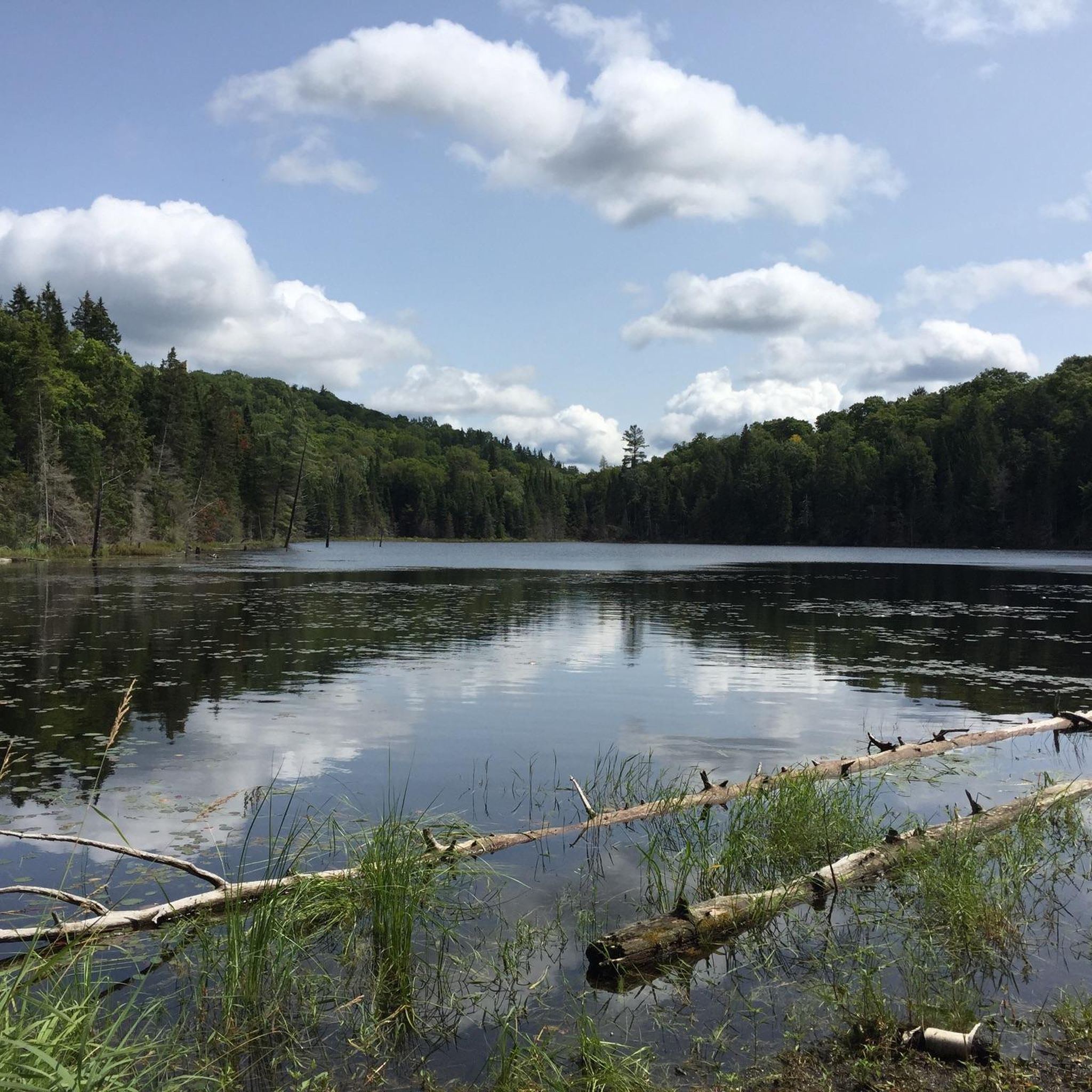
Road cycling routes around Dysart et al traverse the heart of Ontario's Haliburton Highlands, characterized by a diverse natural landscape. The region features numerous lakes and vast forested areas, providing a scenic backdrop for rides. Cyclists can expect varied terrain, including significant elevation changes and winding roads through woodlands, indicating a hilly and engaging environment. This area offers a range of road cycling experiences, from easier routes alongside lakes to more challenging paths with notable climbs.
Best road cycling routes…
Last updated: July 26, 2026
27
riders
56.3km
02:36
580m
580m
Moderate road ride. Good fitness required. Some segments of this route may be unpaved and difficult to ride.
3.0
(1)
17
riders
32.2km
01:28
320m
320m
Moderate road ride. Good fitness required. Mostly well-paved surfaces and easy to ride.

Sign up for free
11
riders
36.1km
01:36
270m
270m
Easy road ride. Great for any fitness level. Mostly well-paved surfaces and easy to ride.
9
riders
78.9km
03:44
760m
760m
Moderate road ride. Good fitness required. Some segments of this route may be unpaved and difficult to ride.
11
riders
116km
05:21
1,170m
1,170m
Hard road ride. Very good fitness required. Mostly well-paved surfaces and easy to ride.
Get access to more routes and recommendations from other explorers.
Sign up for free
Already have an account?
Our route recommendations are based on thousands of hikes, rides, and runs completed by other people on komoot.
Start today with a free account
Your next adventure awaits.
Login or Signup
Popular around Dysart et al
Frequently Asked Questions
How many road cycling routes are available in Dysart et al?
Dysart et al offers a diverse selection of over 15 road cycling routes. These routes cater to various skill levels, including easy, moderate, and difficult options, allowing cyclists to choose an adventure that suits their preference.
What is the typical terrain like for road cycling in Dysart et al?
The terrain in Dysart et al is characterized by its diverse natural landscape, featuring numerous lakes and vast forested areas. Cyclists can expect varied conditions, including significant elevation changes and winding roads through woodlands, making for a hilly and engaging environment. Many routes also offer scenic stretches alongside the region's many clear lakes.
Are there any easy or family-friendly road cycling routes in Dysart et al?
Yes, Dysart et al offers a few easier road cycling routes. These routes often feature less elevation gain and can be a great option for families or those looking for a more relaxed ride. While specific family-friendly routes are not detailed, the region's commitment to outdoor recreation suggests suitable options can be found.
Where can I find challenging road cycling routes with significant climbs in Dysart et al?
For cyclists seeking a challenge, Dysart et al provides several routes with significant elevation changes. For instance, the Cockle Lake – Haas Lake loop from Haliburton is a longer, moderate route with substantial climbing. The region's hilly environment ensures plenty of opportunities for an engaging workout.
What are some scenic highlights or landmarks I can see while road cycling in Dysart et al?
Road cycling in Dysart et al offers many scenic views, particularly of the numerous lakes and vast forested areas. You might pass by attractions like Head Lake Park and Glebe Park in Haliburton Village, or even the unique Haliburton Sculpture Forest within Glebe Park, which combines art and nature. The Haliburton Rail Trail also provides a dedicated pathway through scenic areas.
What do other road cyclists enjoy most about cycling in Dysart et al?
The road cycling routes in Dysart et al are highly rated by the komoot community, with an average score of 3.7 stars. Cyclists often praise the varied terrain, the beautiful lake views, and the serene experience of riding through the region's extensive woodlands. The mix of easy to difficult routes also caters to a wide range of abilities.
Are there any loop routes available for road cycling in Dysart et al?
Yes, many of the road cycling routes in Dysart et al are designed as loops, offering a convenient way to start and end your ride in the same location. Examples include the popular Drag River – Amaleen Lake loop from Haliburton and the Eagle Lake Beach loop from Sir Sam's Ski & Bike.
What is the best time of year for road cycling in Dysart et al?
The best time for road cycling in Dysart et al is generally from spring through fall (April to November), when the Haliburton Rail Trail is open and weather conditions are favorable. The summer months offer warm temperatures, while spring and fall provide beautiful foliage and cooler, comfortable riding conditions.
Are there places to park for road cyclists in Dysart et al, especially in Haliburton Village?
Yes, Haliburton Village, often a starting point for many routes, provides parking options. Head Lake Park, a central location in the village, is known to have amenities supporting cycling, including a community bike hub, suggesting it's a good place to look for parking before your ride.
Can I find cafes or pubs along the road cycling routes in Dysart et al?
While specific cafes or pubs directly on every route are not detailed, Haliburton Village, a common start and end point for many rides, offers amenities. It's a good idea to plan your route to pass through or end in the village to access local establishments for refreshments and meals.
Are there any long-distance road cycling routes in Dysart et al?
Yes, Dysart et al features several longer road cycling routes for those looking for extended rides. For example, the Cockle Lake – Haas Lake loop from Haliburton covers nearly 79 kilometers, offering a substantial distance for endurance cyclists.
What kind of natural features can I expect to see on a road bike ride in Dysart et al?
You can expect to encounter a rich tapestry of natural features, including numerous clear lakes, vast forested areas, and rolling hills. The routes often wind through woodlands and alongside the water, providing a serene and picturesque backdrop for your ride, characteristic of the Haliburton Highlands.
Most popular routes around Dysart et al

Get inspired with the komoot mobile app


Explore more
Browse the best Road cycling routes in other regions.
