The best cycling routes around Brampton
4.7
(152)
533
riders
51
rides
Touring cycling routes around Brampton feature an extensive network of trails integrated with urban and natural environments. The region is characterized by creek systems, river valleys, and numerous green spaces, offering diverse terrains for cyclists. Notable natural features include the Etobicoke Creek and Fletcher's Creek, along with conservation areas like Heart Lake and Claireville, providing scenic routes through forests, parks, and wetlands. The landscape generally presents gentle grades, making it accessible for various fitness levels.
Best touring cycling routes around…
Last updated: August 28, 2026
5.0
(7)
32
riders
Moderate bike ride. Good fitness required. Mostly paved surfaces. Suitable for all skill levels.
5.0
(1)
15
riders
32.8km
02:25
220m
220m
Moderate bike ride. Good fitness required. Mostly paved surfaces. Suitable for all skill levels.

Sign up for free
5.0
(1)
8
riders
Moderate bike ride. Good fitness required. Mostly paved surfaces. Suitable for all skill levels.
4.0
(1)
9
riders
29.4km
01:48
80m
80m
Easy bike ride. Great for any fitness level. Mostly paved surfaces. Suitable for all skill levels.
10
riders
43.3km
02:35
230m
230m
Moderate bike ride. Good fitness required. Mostly paved surfaces. Suitable for all skill levels.
Get access to more routes and recommendations from other explorers.
Sign up for free
Already have an account?
Our route recommendations are based on thousands of hikes, rides, and runs completed by other people on komoot.
Start today with a free account
Your next adventure awaits.
Login or Signup
Tips from the Community

This is the largest park in Mississauga and as you expect, it has a lot to offer. In addition to traditional park staples like picnic tables, sports fields, and playgrounds, you'll also find walking paths, a winter tobogganing hill, lush ravines, and riverside coves for salmon and trout fishing.
0
0
The David Culham Trail is a multi-use path that travels through Mississauga, closely following the route of the Credit River. Along the way it passes through many parks and nature reserves, making a beautiful green corridor in the heart of the city.
0
0

Lake Aquitaine was built for a recreational area that was developed around a stormwater management lake. It is the scenic 25-acre centrepiece now for Lake Aquitaine Park.
1
0

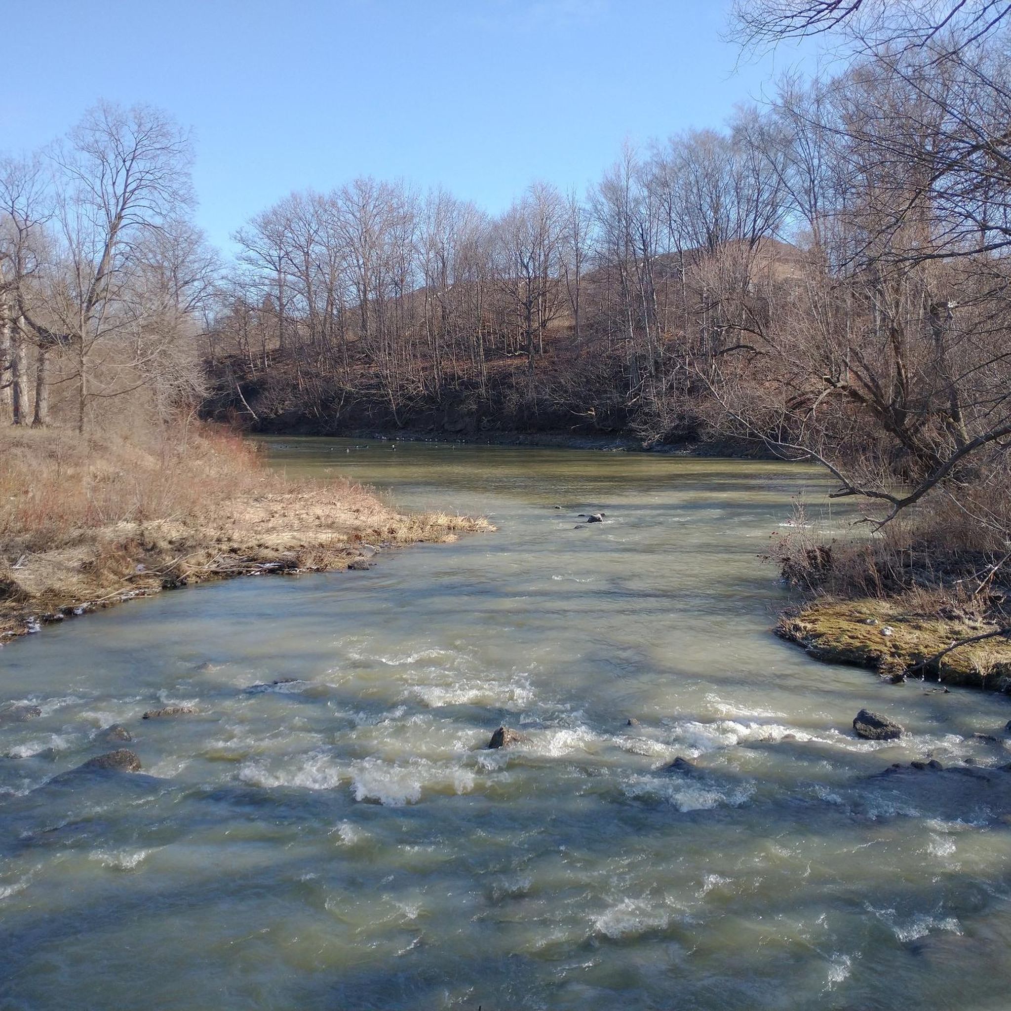
Etobicoke Creek flows south from the Oak Ridges Moraine to Lake Ontario, forming a natural boundary between Toronto and Mississauga along much of its course. The creek winds through a mix of wooded ravines, parkland, and urban areas, with sections that feel surprisingly quiet despite the surrounding city. Along its lower reaches, slower-moving water, small floodplains, and frequent green spaces make it a defining natural corridor in the western GTA.
0
0
Etobicoke Creek Trail follows Etobicoke Creek for roughly 10 kilometres through a long green corridor on Toronto’s western edge, connecting parks, neighbourhoods, and natural areas along its route. The paved multi-use path is mostly flat and easy, winding between wooded sections, open parkland, and occasional road crossings. Along the way, the creek remains a constant presence, with stretches of quiet water, small bridges, and pockets of wildlife breaking up the urban surroundings.
0
0
The Stephen Llewellyn Trail is a multi-use, paved 3-kilometer trail that runs through Brampton connecting various parks and open spaces. It's flat, well-maintained surface make it suitable for families.
0
0
Plowman’s Park has large open fields for soccer and other sports. There are also updated playgrounds and paved walking and cycling paths that connect to other nearby parks.
0
0

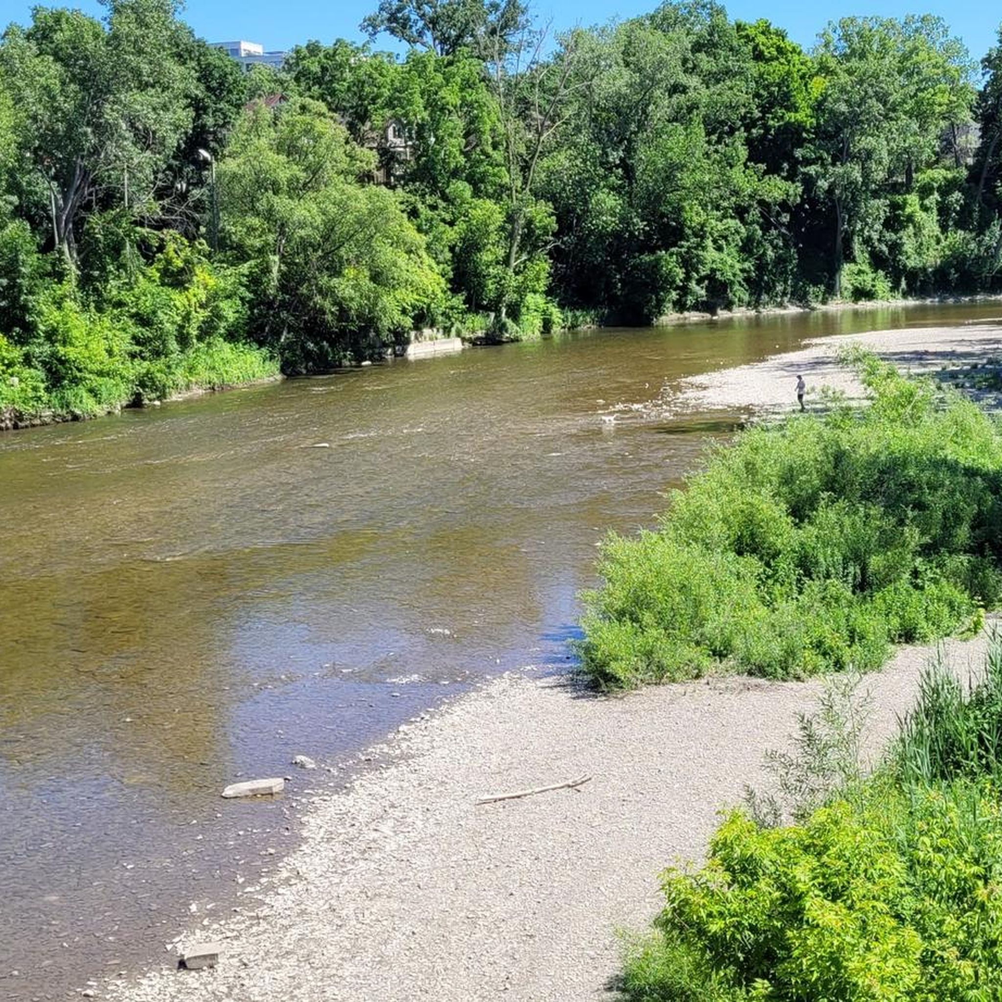
The Credit River runs through the city of Mississauga and flows south into Lake Ontario. It begins near Orangeville and travels about 90 kilometers before reaching the lake. The river gets its name from early fur trade practices, when traders extended goods on credit to the Mississaugas of the Credit First Nation. Today, it’s a well-known natural area with trails, parks and wildlife.
0
0
Frequently Asked Questions
How many touring cycling routes are available in Brampton?
Brampton offers a wide selection of touring cycling routes, with over 60 different options to explore. These routes cater to various preferences, including 43 easy routes, 17 moderate routes, and a few more challenging options.
What kind of terrain can I expect on Brampton's touring cycling routes?
Brampton's touring cycling routes feature diverse terrain, from extensive paved recreational trails to paths winding through urban forests, wildflower fields, and along creek systems. You'll encounter green spaces, parks, and even some unpaved segments, particularly on trails connecting to broader regional networks like the Caledon Trailway, which includes gravel sections through rolling hills and farm fields.
Are there any family-friendly touring cycling routes in Brampton?
Yes, Brampton has many family-friendly options. The city's extensive network includes 43 easy routes, perfect for all skill levels. A great example is the Loafers Lake Park – Scott Street Parkette loop from Loafers Lake, an easy 29.4 km trail that takes you through local parks and green spaces.
What natural features or landmarks can I see along the touring cycling routes?
Many routes in Brampton offer scenic views and pass by notable natural features and landmarks. You can explore areas like the Humber River Trail, the picturesque Credit River, and various lakes such as Heart Lake Conservation Area, Loafers Lake Park, and Lake Claireville Conservation Area. Some routes also feature unique sights like the Highway 401 Underpass Murals.
Are there any long-distance touring cycling options in Brampton?
Yes, Brampton offers several longer touring cycling routes. For example, the Professors Lake Trail – Etobicoke Creek Trail loop from Brampton Innovation District is a moderate 59.2 km path, providing extensive views and following the Etobicoke Creek. Another substantial option is the Etobicoke Creek Trail – Power Line Corridor loop from Brampton Innovation District, a moderate 44.0 km trail winding through urban forests.
What do other touring cyclists enjoy about the routes in Brampton?
The touring cycling routes in Brampton are highly rated by the komoot community, with an average score of 4.8 stars from over 160 reviews. Cyclists often praise the extensive creek systems, serene lakes, and well-maintained green spaces that define the network, offering diverse experiences for various fitness levels.
Are there any loop routes for touring cyclists in Brampton?
Many of Brampton's touring cycling routes are designed as loops, offering convenient starting and ending points. Popular loop options include the Etobicoke Creek Trail – Power Line Corridor loop from Brampton Innovation District and the Professors Lake Trail – Etobicoke Creek Trail loop from Brampton Innovation District. These loops allow you to experience a variety of landscapes without retracing your steps.
Do Brampton's cycling trails connect to broader regional networks?
Yes, Brampton's extensive trail system connects to larger regional networks. The Etobicoke Creek Recreational Trail, for instance, links to Caledon and Mississauga. You can also access sections of the Caledon Trailway, a 35-kilometer multi-use trail, and parts of the Greenbelt Route and Trans Canada Trail, which pass through the Peel Region.
What is the best time of year for touring cycling in Brampton?
The best time for touring cycling in Brampton is generally from spring through fall (May to September), when the weather is mild and the trails are in excellent condition. The city even hosts free casual cycling tours during these months. While some trails may be accessible in winter, conditions can vary, and specific winter maintenance should be checked.
Are there any routes that pass by lakes or conservation areas?
Absolutely. Many routes in Brampton offer beautiful views of lakes and pass through conservation areas. The Professors Lake Trail – Etobicoke Creek Trail loop from Brampton Innovation District provides views of Professors Lake. You can also find routes that lead to or through Heart Lake Conservation Area and Claireville Conservation Area, offering impressive water views and mature forests.
Most popular attractions around Brampton

Get inspired with the komoot mobile app


Explore more
Browse the best Cycling routes in other regions.
