The best MTB trails around Woolwich
4.5
(41)
542
riders
14
rides
Mountain biking around Woolwich, Ontario, features a landscape characterized by river valleys, wooded areas, and a mix of gravel paths and natural surface trails. The region, managed in part by the Grand River Conservation Authority, offers diverse terrain suitable for various skill levels. Trails often loop around significant natural features like reservoirs and through forests, providing varied riding experiences. This area provides a network of routes for mountain bikers to explore its natural environment.
Best mountain bike trails around Woolwich
…Last updated: June 28, 2026
4.5
(12)
220
riders
19.0km
01:40
180m
180m
Hard mountain bike ride. Great for any fitness level. Advanced riding skills necessary. Some portions of the route may require you to push your bike.
4.5
(13)
120
riders
Easy mountain bike ride. Great for any fitness level. Suitable for all skill levels.

Sign up for free
4.5
(2)
67
riders
9.70km
00:52
110m
110m
Hard mountain bike ride. Great for any fitness level. Advanced riding skills necessary. Some portions of the route may require you to push your bike.
7
riders
28.4km
01:56
210m
210m
Easy mountain bike ride. Great for any fitness level. Suitable for all skill levels.
5.0
(1)
9
riders
14.6km
01:13
160m
160m
Moderate mountain bike ride. Great for any fitness level. Advanced riding skills necessary.
Get access to more routes and recommendations from other explorers.
Sign up for free
Already have an account?
Our route recommendations are based on thousands of hikes, rides, and runs completed by other people on komoot.
Start today with a free account
Your next adventure awaits.
Login or Signup
Tips from the Community

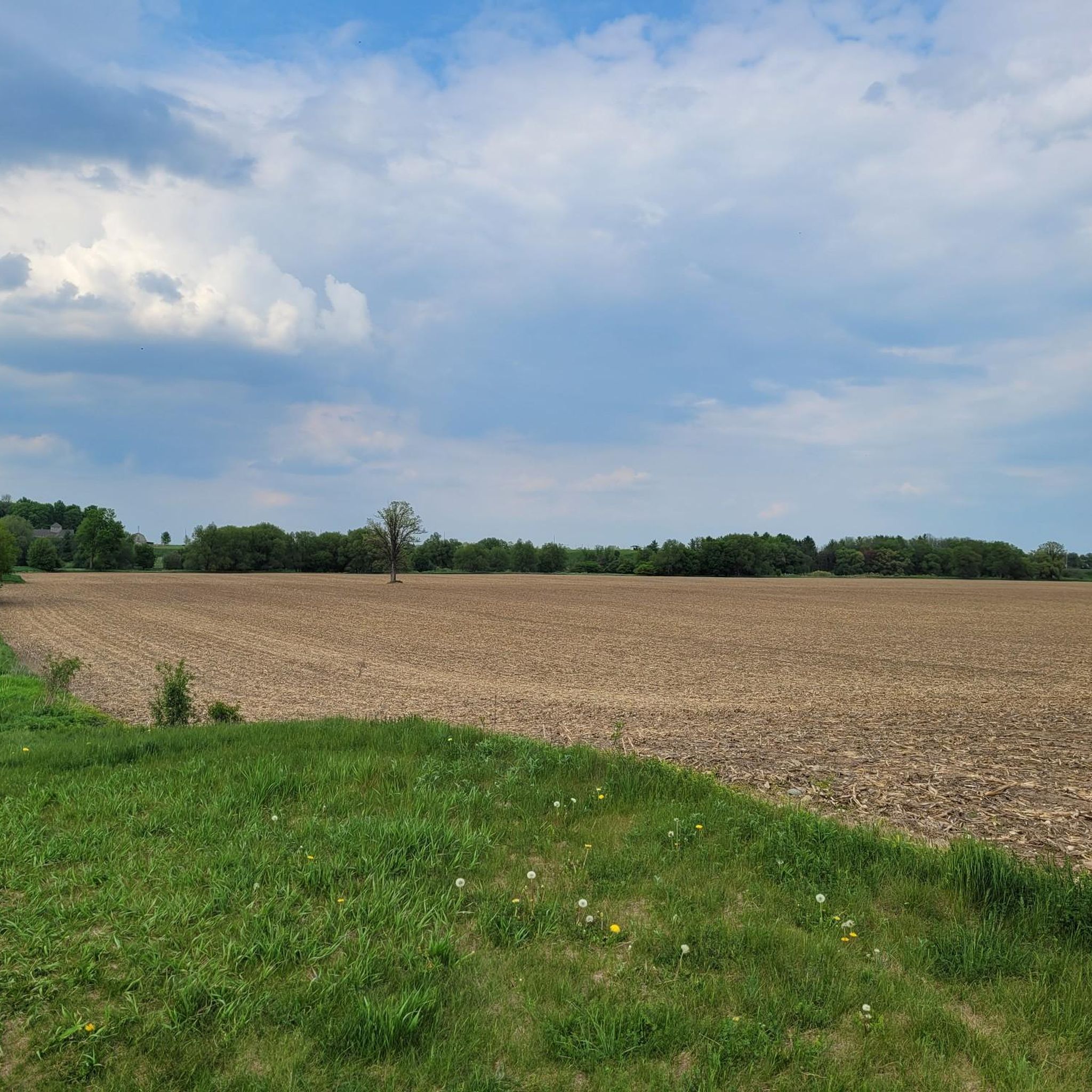
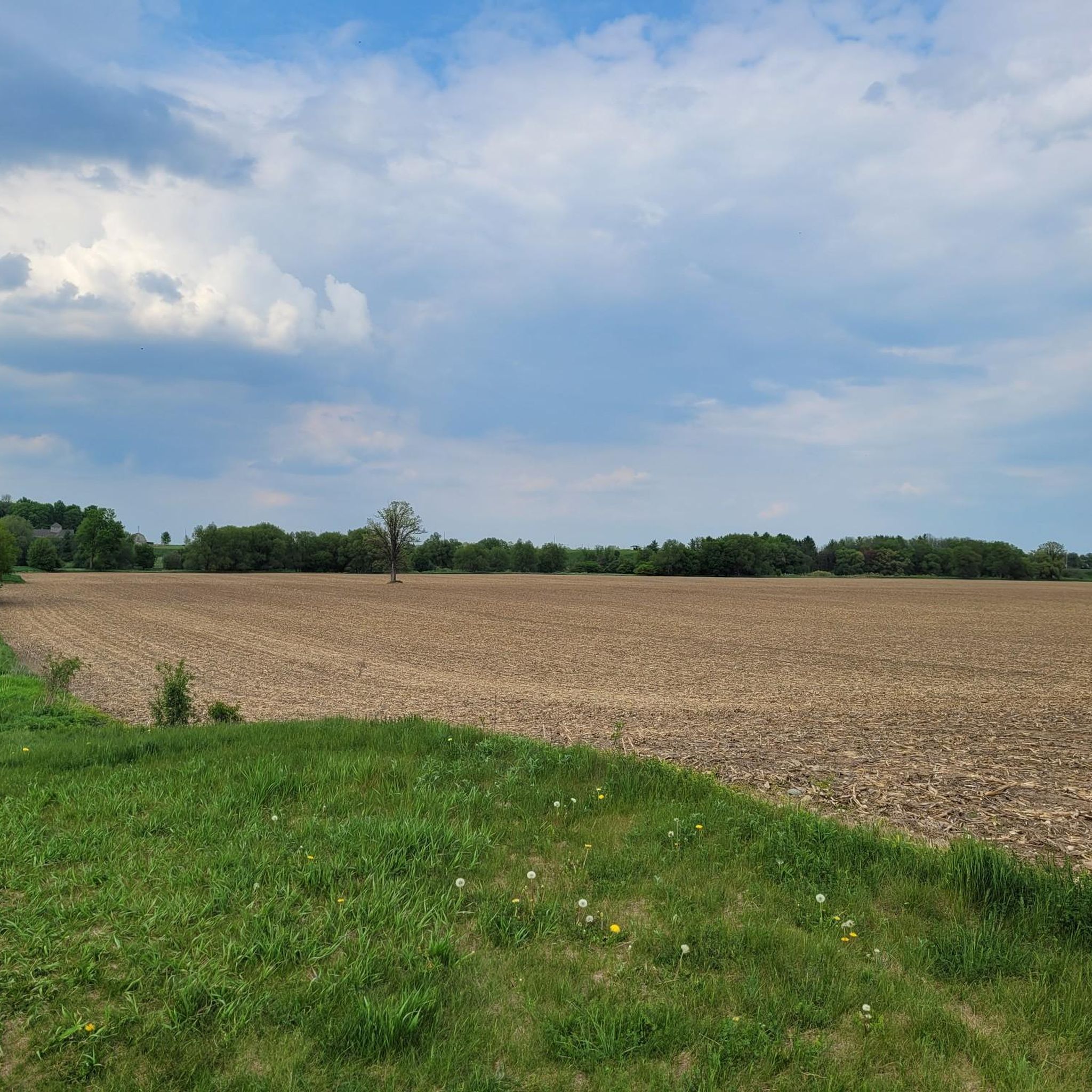
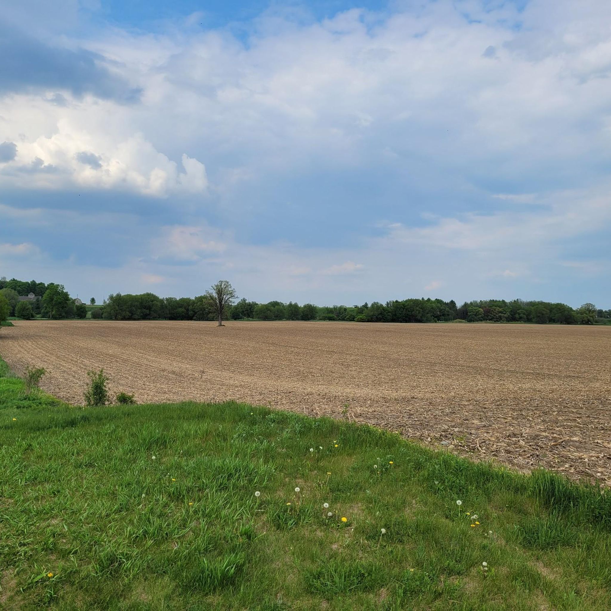
As you walk, you will follow white blazes marked on the trees, which guide you through rolling hills and quiet, shaded pathways. The woods are filled with a mix of hardwoods like maple and oak, which create a beautiful canopy overhead. In the spring, you can see colorful wildflowers blooming on the forest floor, and in the autumn, the leaves turn into a sea of bright yellow and orange.
0
0
The river here is a great place for you to watch for local wildlife. If you stay quiet, you might spot a blue heron standing still in the shallow water or see a bald eagle soaring above the trees. For those who like being on the water, this section is popular for canoeing and kayaking because the current is usually gentle.
0
0

From here you'll have access to a multitude of trail like Upper Ities, Downtown, The 4 Ities, and A-Line. The are all multi-use trail with some features built for mountain bikers, so keep an eye out for your fellow trail users.
0
0
The Columbia Forest is a wonderful natural escape on the outer edge of Waterloo. There is a robust trail network through the woods that allows hikers, runners, and mountain bikers access to a variety of terrain.
0
0

The Walter Bean Grand River Trail is a scenic multi-use trail that follows the Grand River through much of the Waterloo Region. Stretching roughly 78 kilometers when complete, the trail connects communities such as Waterloo, Kitchener, and Cambridge. Much of the route winds through forested riverbanks, conservation areas, and quiet natural spaces, offering scenic views of the river. It’s a popular route for walking, running, and cycling.
0
0
The Grand River is a major waterway that stretches nearly 280 kilometers through the southern part of Ontario. It winds past farmland, forests, and historic towns before flowing into the Lake Erie. There are multiple ways to enjoy what the river has to offer such as hiking long-distance routes like the Grand Valley Trail, or paddling peaceful river stretches with access from several points. Wildlife is also abundant along its banks, making it a great pick for a nature-focused outing.
0
0
The Grand Valley Trail runs for roughly 250 kilometers through southwestern Ontario, following the Grand River through historic towns, quiet farmland, and scenic riverbanks, giving hikers a real taste of the province’s natural and rural beauty. The trail has a variety terrain, well-maintained paths, and green spaces for both short outings or a long thru-hike.
0
0
Although this is just a small pond designed to manage storm runoff it does add a nice backdrop for photos and creates habitat for local and migrating birds.
0
0
Frequently Asked Questions
How many mountain bike trails are available in Woolwich?
Woolwich offers a good selection of mountain bike trails, with over 10 routes to explore. These trails cater to various skill levels, from easy to difficult, ensuring there's something for every rider.
Are there mountain bike trails suitable for beginners or families in Woolwich?
Yes, Woolwich has several mountain bike trails perfect for beginners and families. Approximately half of the routes are rated as easy. For example, the Kelley Flow Corner and Hill – Rooty Downhill Trail loop from Puslinch Lake Irish Creek Research Area is an easy 9.9-mile path featuring a mix of rooty downhill sections and scenic views, making it a great option for a less strenuous ride.
What do other mountain bikers say about the trails in Woolwich?
The mountain bike trails in Woolwich are highly regarded by the komoot community, boasting an average rating of 4.7 stars from over 30 reviews. More than 500 mountain bikers have used komoot to explore the area, often praising the diverse terrain, riverine landscapes, and extensive forest sections.
Are there any longer mountain bike routes for an extended ride in Woolwich?
For those looking for a longer ride, the Grand River – Grand Valley Trail loop from Frederick is an excellent choice. This easy route spans 17.5 miles (28.2 km) and takes approximately 1 hour 55 minutes to complete, offering a substantial ride through varied landscapes.
What interesting places can I see near the mountain bike trails in Woolwich?
While mountain biking in Woolwich, you can explore several interesting nearby attractions. Consider visiting the historic West Montrose Covered Bridge, often called the 'Kissing Bridge,' or enjoy the natural beauty of the Conestogo River Trails and the Grand River Trail. These spots offer great opportunities to extend your outdoor adventure.
Can I bring my dog on the mountain bike trails in Woolwich?
Many multi-use trails in the Woolwich area, particularly those managed by the Grand River Conservation Authority, are generally dog-friendly, provided dogs are kept on a leash. Always check specific trail regulations or signage at the trailhead to confirm, as rules can vary.
When is the best time of year to go mountain biking in Woolwich?
The best time for mountain biking in Woolwich, Ontario, is typically from spring through fall. The region's trails, which include gravel paths and natural surface routes, are most enjoyable when dry. Spring offers lush greenery, while fall provides beautiful foliage. Winter riding is possible, but trails can be muddy or snow-covered, requiring appropriate gear and caution.
Are there many loop mountain bike trails in Woolwich?
Yes, many of the mountain bike trails in Woolwich are designed as loops, offering convenient starting and ending points. Examples include the Mountainbike loop from Westmeadow Park Natural Area and the Mountainbike loop from Petersburg Regional Forest, allowing you to return to your starting point without retracing your steps.
Which mountain bike trails offer the most scenic views in Woolwich?
For scenic views, consider trails that loop around natural features like the Woolwich Reservoir or those that follow river valleys. The Kelley Flow Corner and Hill – Rooty Downhill Trail loop from Puslinch Lake Irish Creek Research Area offers picturesque views around the lake, while routes along the Grand River provide beautiful riverine landscapes.
Is parking available at the trailheads in Woolwich?
Parking is generally available at designated trailheads and access points for mountain bike trails in Woolwich, especially in areas managed by the Grand River Conservation Authority or within regional parks. It's always a good idea to check specific trail information or local maps for precise parking locations before your ride.
Are there any moderate difficulty mountain bike trails in Woolwich?
Yes, Woolwich offers several moderate mountain bike trails for riders looking for a bit more challenge than easy routes but less intensity than difficult ones. An example is the Columbia Forest – Sundew Stormwater Pond loop from Schneider's Bush, which is 9.1 miles (14.6 km) long and provides a balanced riding experience.
Are there places to eat or drink near the mountain bike trails in Woolwich?
While specific pubs or restaurants might not be directly on every trailhead, the Woolwich Township and nearby communities like Elmira and Waterloo offer various dining options. You can often find local eateries and cafes a short drive from the main trail access points, perfect for a post-ride meal or refreshment.
Most popular attractions around Woolwich

Get inspired with the komoot mobile app


Explore more
Browse the best MTB trails in other regions.
