The best road cycling routes around Mapleton
5.0
(2)
20
riders
5
rides
Road cycling routes around Mapleton offer diverse terrain at the foot of the Wasatch Mountains, characterized by varied elevation changes. The region features scenic canyons like Hobble Creek Canyon and Mapleton Canyon, which provide engaging rides. Mapleton also sits on the Bonneville Shoreline, locally known as "the bench," contributing to its unique geographical elements. The surrounding rolling foothills and open spaces create an inviting environment for road cyclists.
Best road cycling routes around Mapleton
- The most popular road cycling route…
Last updated: October 2, 2026
5.0
(1)
6
riders
38.2km
01:42
190m
190m
Moderate road ride. Great for any fitness level. Some segments of this route may be unpaved and difficult to ride.
5
riders
41.1km
01:47
220m
220m
Easy road ride. Great for any fitness level. Mostly well-paved surfaces and easy to ride.

5.0
(1)
5
riders
50.9km
02:13
230m
230m
Moderate road ride. Good fitness required. Some segments of this route may be unpaved and difficult to ride.
3
riders
49.4km
02:16
290m
290m
Moderate road ride. Good fitness required. Some segments of this route may be unpaved and difficult to ride.
1
riders
52.9km
02:05
220m
220m
Moderate road ride. Good fitness required. Mostly well-paved surfaces and easy to ride.
Our route recommendations are based on thousands of hikes, rides, and runs completed by other people on komoot.
Tips from the Community

Elora Gorge is a popular destination partly due to the natural beauty of the 22-meter (72-ft) high limestone cliffs that rises above the Grand River and partly due to the activities and amenities available. There is a network of scenic trails, many fishing spots and camping pitches too. You can get on the river and go tubing or kayaking through the rapids too.
0
0

This forest trail passes through one of Laurel Creek Conservation Area's woodland habitats, offering a quieter alternative to the nearby reservoir and meadow trails. The dense canopy provides shade through much of the route, while seasonal changes make this section particularly attractive in autumn when the leaves begin to change colour.
0
0
This is the north end of RIM Park and the end of the Walter Bean Grand River Trail section, but there’s no parking available here. If you’re planning to walk this route, you’ll need to park at the main RIM Park parking area that is located on Park Road. It’s a common point of confusion, so it’s worth planning ahead.
0
0
Running alongside the trail, the Grand River is the main backdrop for this entire section. For much of the route, you’re walking right beside the water, with open views in some areas and more filtered glimpses through trees in others. The river moves steadily here, and you’ll often see birds along the banks or on the water. It’s part of a much larger river system that flows south across the region toward Lake Erie, adding a quiet sense of scale to an otherwise easy, local walk.
0
0
This section of the Walter Bean Grand River Trail follows a wide, easy path alongside the Grand River, making it more of a relaxed walk or run than a traditional hike. The trail is mostly flat, with a mix of paved and gravel surfaces, and stays close to the water for much of the route. You’ll move between open parkland and shaded sections through trees, with occasional views of the river. It’s part of a much longer trail system that runs through the region, but this stretch is especially accessible and easy to follow.
0
0

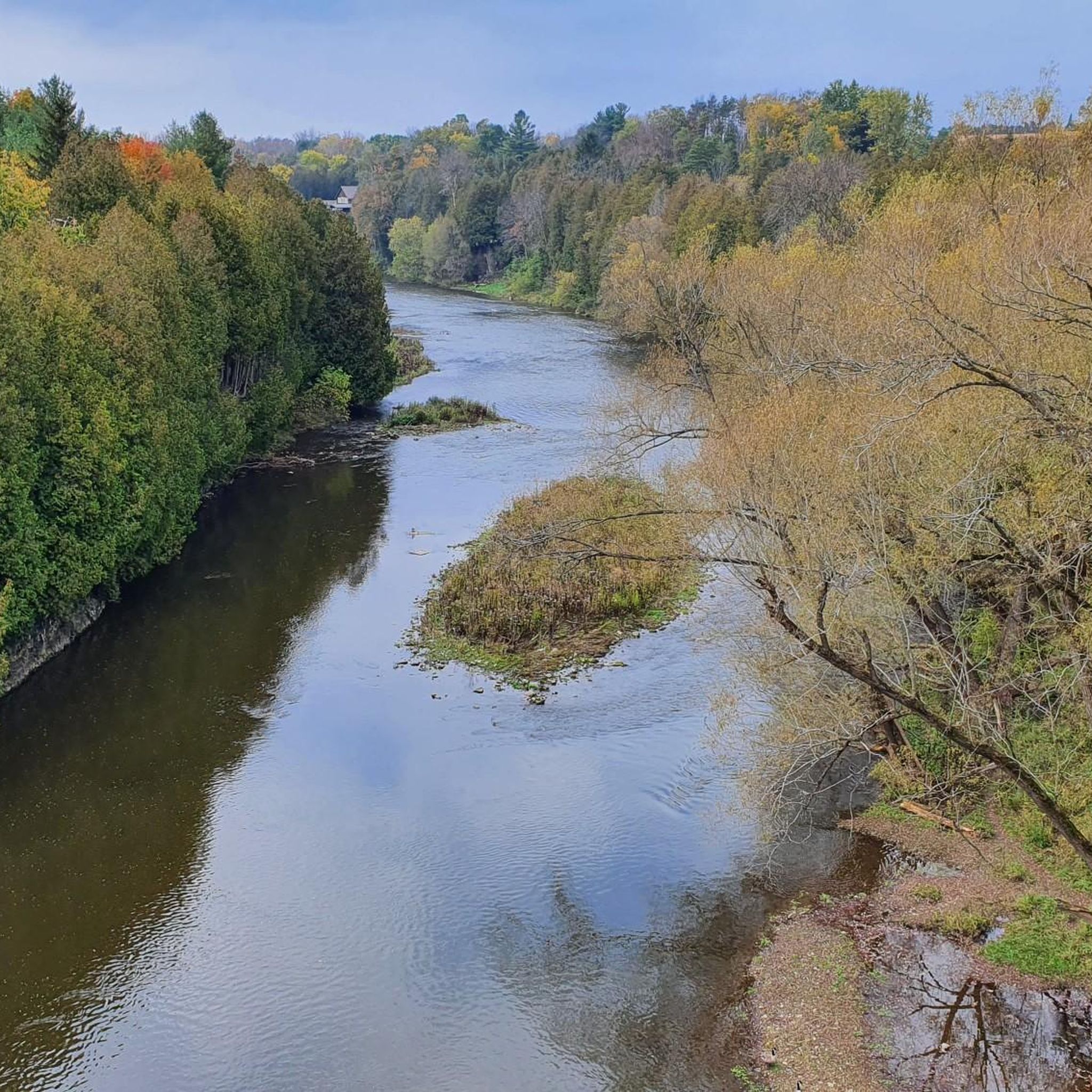
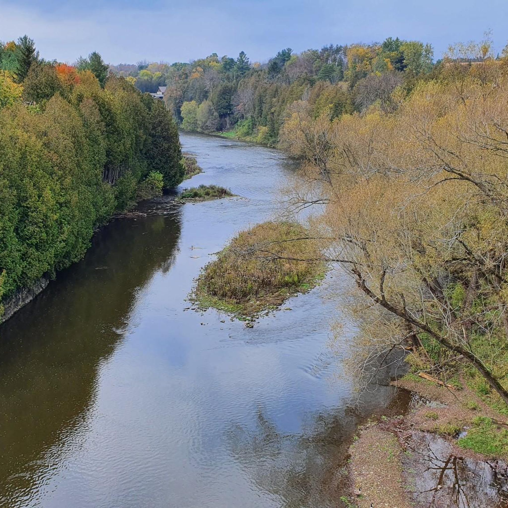
Formerly known as the River Ouse, the Grand River flows through Ontario before emptying into Lake Erie's northern shore. Here, on the edge of Kitchener, its riparian area is full of wildlife, including a wide array of birds that can be quite active, thus making it a great bird watching spot.
0
0
Although this is just a small pond designed to manage storm runoff it does add a nice backdrop for photos and creates habitat for local and migrating birds.
0
0

Frequently Asked Questions
How many road cycling routes are available around Mapleton?
Mapleton and its surroundings offer a good selection of road cycling routes. While this guide highlights 7 specific routes, the broader area boasts over 30 cycling routes, with 34 identified by the Bikemap community, covering more than 230 miles.
What kind of terrain can I expect on Mapleton's road cycling routes?
Road cycling in Mapleton features diverse terrain, from the rolling foothills at the base of the Wasatch Mountains to scenic canyons. You'll encounter varied elevation changes, including challenging climbs in areas like Hobble Creek Canyon and Mapleton Canyon, as well as smoother sections along the Bonneville Shoreline, locally known as 'the bench'.
Are there challenging road cycling routes with significant climbs in Mapleton?
Yes, Mapleton offers routes with significant elevation gain. For example, the ride through Mapleton Canyon from the Civic Center to the Maple Mountain Trailhead involves an 800-foot elevation gain over 3.3 miles. The Left Fork of Hobble Creek Canyon also provides magnificent views and can be combined with the Right Fork for substantial climbing.
What scenic viewpoints can I expect on road cycling routes around Mapleton?
Cyclists can enjoy picturesque views of the Wasatch Mountains, including Provo Peak from the Left Fork of Hobble Creek Canyon. Routes also offer vistas of Utah Valley, Utah Lake, and the unique Bonneville Shoreline. The surrounding rolling foothills and open spaces provide a beautiful backdrop for your ride.
Are there any notable landmarks or attractions along the road cycling routes?
While specific road cycling routes may not pass directly by all attractions, the broader Mapleton area offers points of interest. You can find natural features like the Conestogo River Trails and the G2G Rail Trail nearby. The Old Railway Bridge is another interesting landmark in the vicinity.
Are there family-friendly paved bike paths suitable for road cycling in Mapleton?
Yes, the West Montrose Covered Bridge – West Montrose Covered Bridge loop from Elmira is an easy-rated route suitable for a more relaxed ride. Additionally, the Mapleton Lateral Canal Trail offers a smooth asphalt path that travels the length of the city, providing a 6.1-mile ride with mountain views, popular with cyclists and runners alike.
Are dogs allowed on the paved bike trails in Mapleton?
Information regarding specific dog policies for all paved bike trails in Mapleton is not universally available. It's best to check local signage or the Mapleton City website for regulations on individual trails, especially for the Mapleton Lateral Canal Trail, to ensure compliance.
What is the best time of year to go road cycling in Mapleton?
The spring, summer, and fall months generally offer the best conditions for road cycling in Mapleton, with pleasant temperatures and clear roads. The region's location at the foot of the Wasatch Mountains means varied seasonal considerations, so checking local weather forecasts before your ride is always recommended.
Are there loop road cycling routes available in Mapleton?
Yes, several loop routes are available. For instance, the West Montrose Covered Bridge – West Montrose Covered Bridge loop from Allen is a popular moderate route, and the Elora Brewing Company loop from Elora also offers a moderate loop experience.
Where can I find parking facilities for road cycling routes in Mapleton?
Parking is generally available at common starting points for routes, such as the Mapleton Civic Center for rides into Mapleton Canyon. For other routes, street parking in quiet residential areas or designated parking lots near trailheads is often an option. Always observe local parking regulations.
Do I need any special permits to road cycle in Mapleton, Utah?
Generally, no special permits are required for road cycling on public roads and established paved trails in Mapleton. However, if you plan to venture into specific parks or protected areas, it's always wise to check for any local regulations or fees that might apply.
Are there cafes or places to eat near the road cycling routes in Mapleton?
Mapleton has local cafes and restaurants within the city center that are accessible from various routes. While specific routes might not pass directly by them, you can easily find dining options in town to refuel before or after your ride.
What do other road cyclists enjoy most about the routes in Mapleton?
The road cycling routes in Mapleton are highly rated by the komoot community, with an average score of 5.0 stars. Cyclists often praise the diverse landscapes, including the scenic canyons and mountain foothills, as well as the generally quiet and smooth roads that provide an enjoyable riding experience.
Most popular routes around Mapleton
Most popular attractions around Mapleton

Get inspired with the komoot mobile app


Explore more
Browse the best Road cycling routes in other regions.
