The best walks and hikes around Courchapoix
4.6
(1311)
6,908
hikers
343
hikes
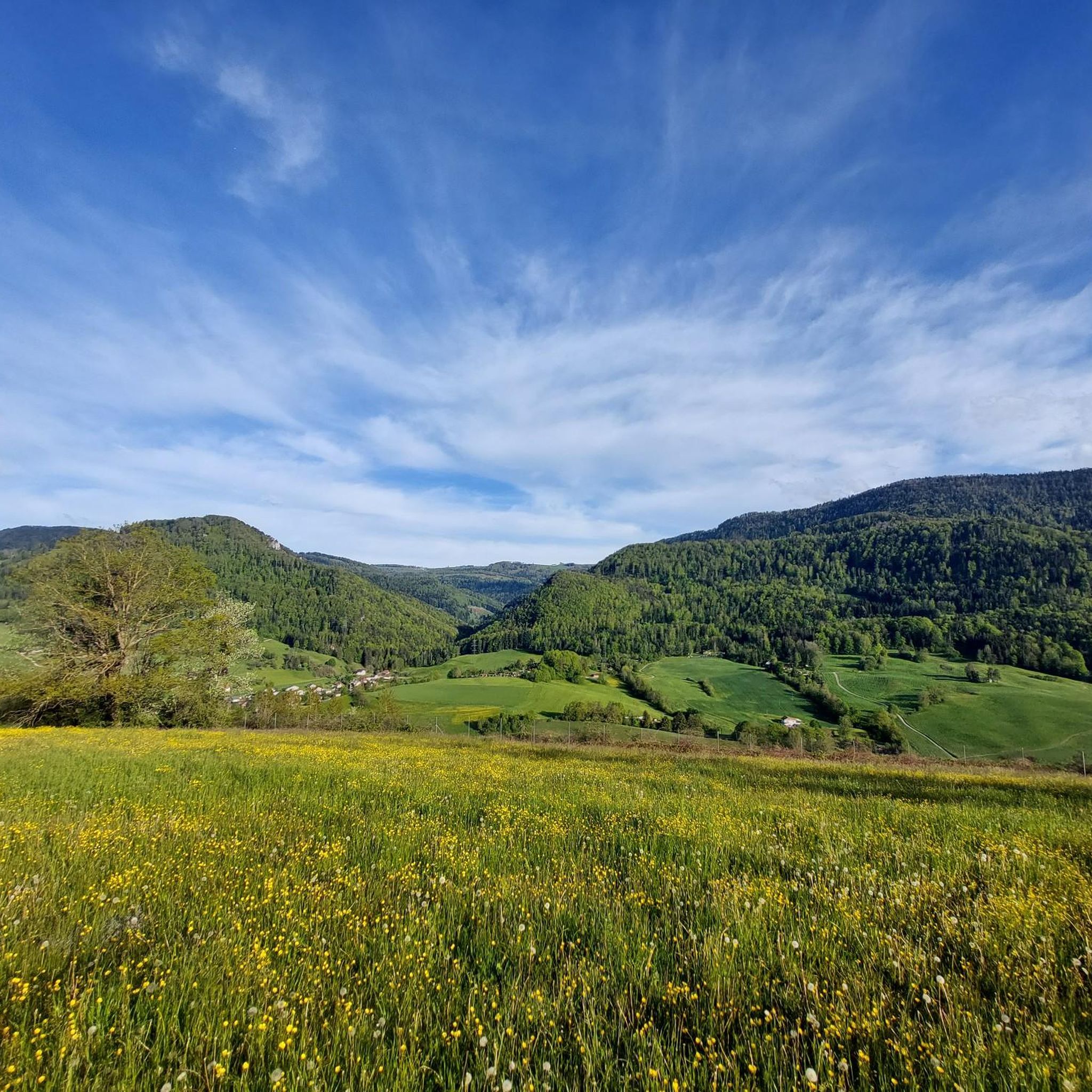
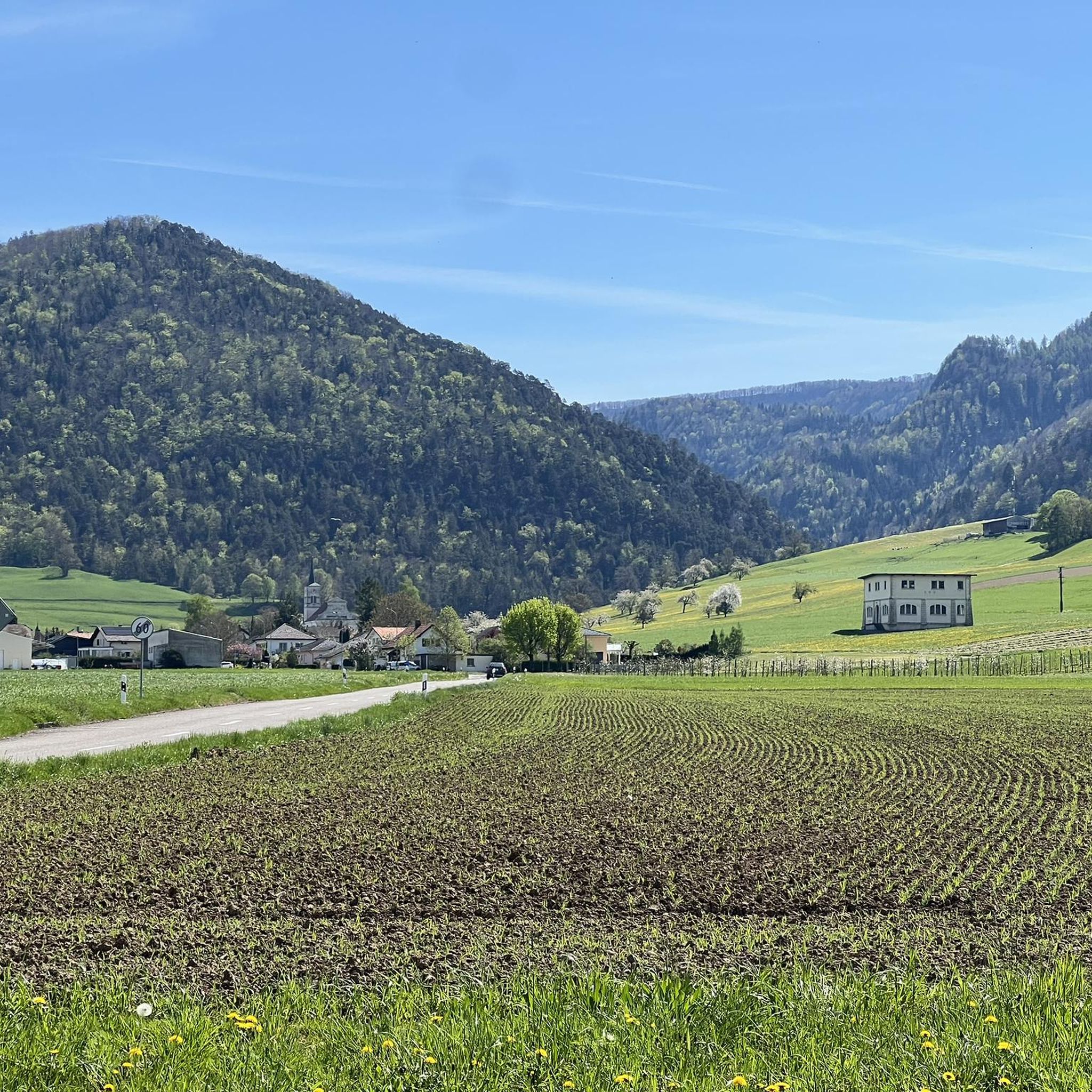
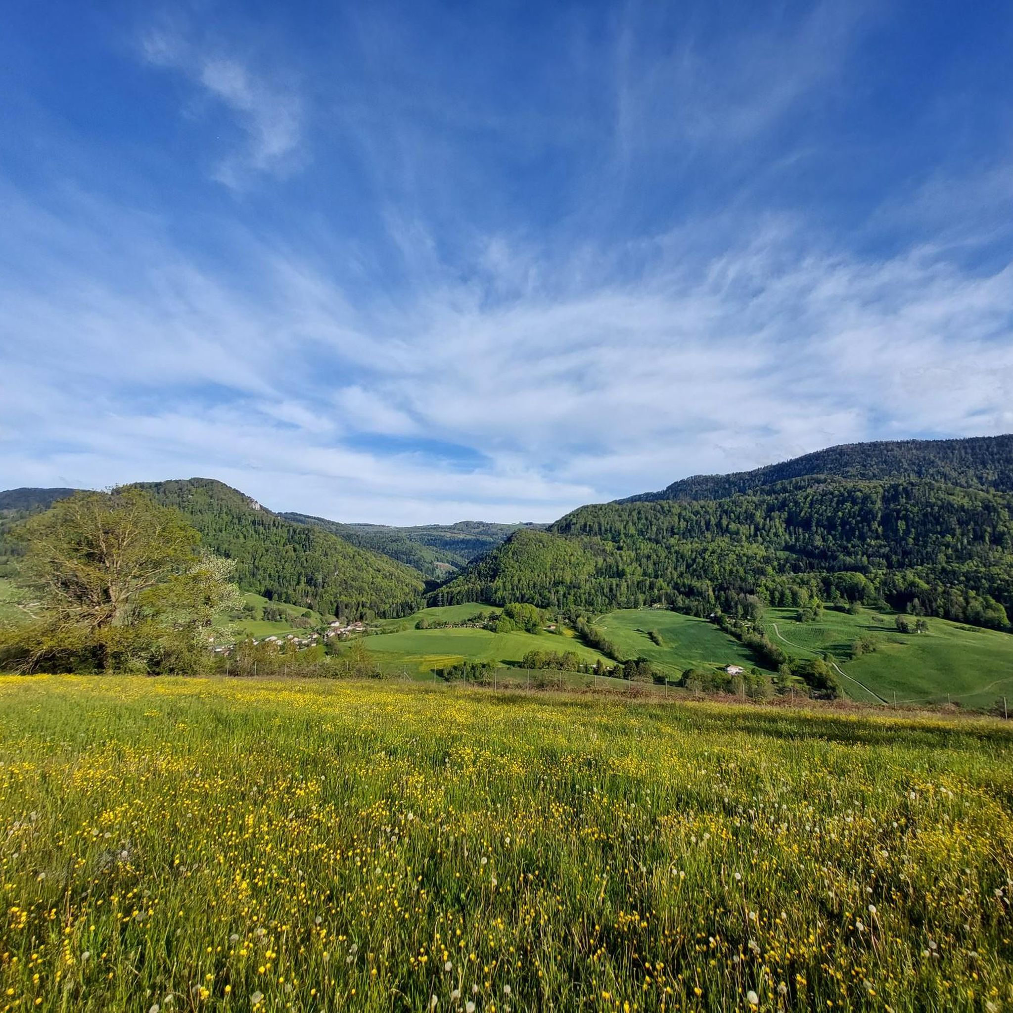
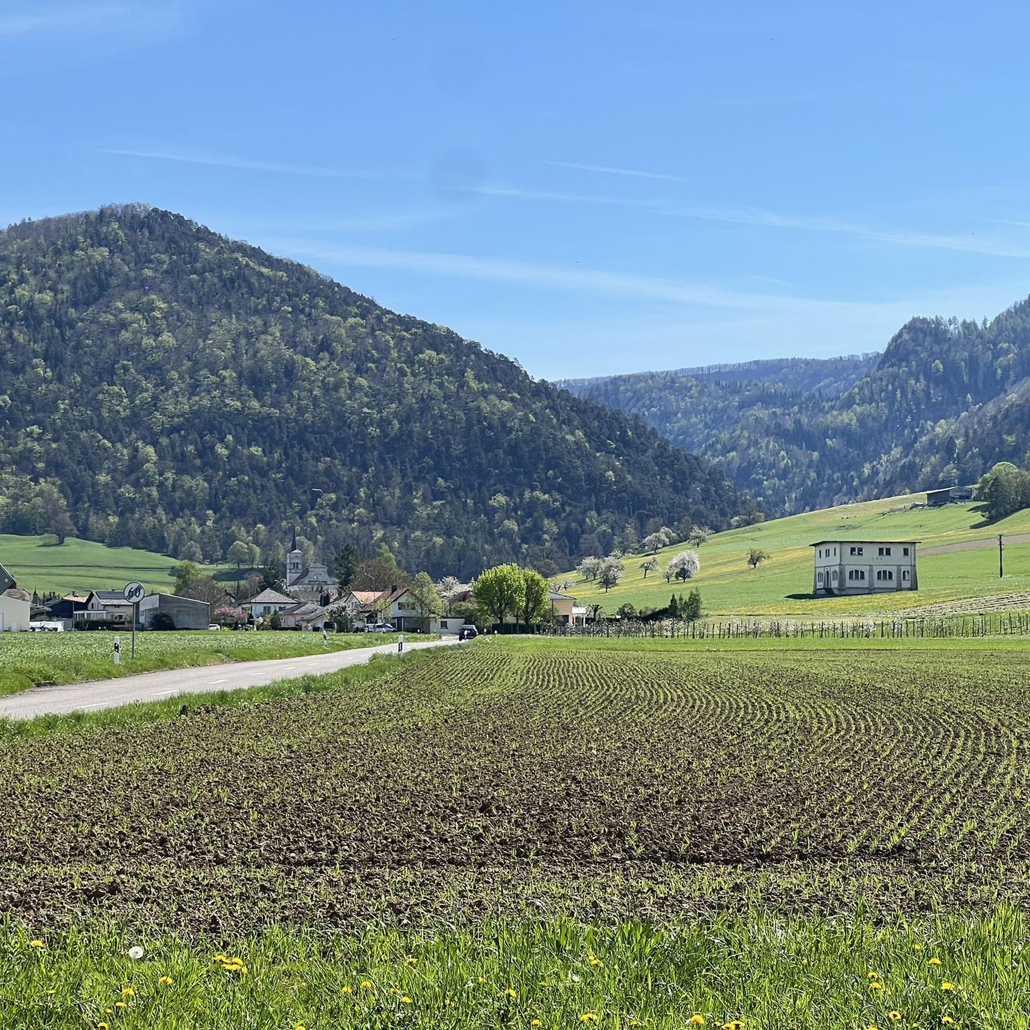
Hiking around Courchapoix offers diverse terrain within Switzerland's Val Terbi, characterized by rolling hills, dense forests, and agricultural lands. The region features varied landscapes including meadows, pastures, and canyons, with flowing water bodies like the Scheulte, Chèvre, and Gabiare rivers. Trails often involve elevation changes, providing views of the surrounding hills and the expansive Val Terbi. This area is suitable for exploring natural features and cultural heritage.
Best hiking trails around Courchapoix
- The most popular hiking route is Crête Retemberg…
Last updated: October 1, 2026
4.3
(9)
27
hikers
18.7km
06:26
830m
830m
Hard hike. Very good fitness required. Mostly accessible paths. Sure-footedness required.
3.7
(9)
18
hikers
14.7km
04:47
630m
630m
Moderate hike. Good fitness required. Mostly accessible paths. Sure-footedness required.

12
hikers
8.37km
02:33
280m
280m
Moderate hike. Good fitness required. Easily-accessible paths. Suitable for all skill levels.
4.0
(1)
7
hikers
Moderate hike. Good fitness required. Easily-accessible paths. Suitable for all skill levels.
7
hikers
2.94km
00:49
60m
50m
Easy hike. Great for any fitness level. Easily-accessible paths. Suitable for all skill levels.
Get access to more routes and recommendations from other explorers.
Already have an account?
Our route recommendations are based on thousands of hikes, rides, and runs completed by other people on komoot.
Start today with a free account
Your next adventure awaits.
Tips from the Community

we went for a big loop and weren't disappointed! The chalet du ski club is surrounded by cows now, it gave so much Swiss vibes to sit there.
1
0

If you happen to get lost here during a trail run in this beautiful area, you're in luck, because the Wasserberg kiosk has sugar and thus new energy. There is a fridge with drinks, cakes and also a cozy place to sit and take a breather. Pay with Twint, open all year round, recommended.
0
0


Botanical trail along which many explanatory panels are installed on the fauna and flora that surround us. The start of the botanical trail is located at the entrance to the village (arriving from Vicques). One kilometer long, it walks through the forest to the Plain-Fayen pasture where you can rest and picnic at the forest cabin which is decorated with a small playground for children (swings). https://www.val-terbi.ch/fr/Vivre/Loisirs/Activites-regionales/Sentier-botanique-Vermes.html
0
0
pretty decorations made by the children of Vicques
0
0

If you are looking for a short and easy hike with a touch of history, you should visit the Vaferdeau tunnel. This tunnel was built in 1916 by the Swiss army as a defensive measure during the First World War. It is approximately 200 meters long and has several openings which offer views of the valley and the Rochers du Midi, a popular climbing site. You can walk through the tunnel and enjoy the coolness and darkness there.
3
0

Nice open fire pit with a large wooden table, lots of space, good views and very sunny.
1
0
Frequently Asked Questions
How many hiking trails are available around Courchapoix?
There are over 350 hiking trails around Courchapoix, catering to various skill levels. You'll find approximately 88 easy routes, 209 moderate paths, and 57 more challenging trails.
What is the best time of year to go hiking in Courchapoix?
The best time for hiking in Courchapoix and the broader Val Terbi region is generally from late spring through early autumn. During this period, the weather is most favorable, wildflowers are in bloom, and trails are easily accessible.
What kind of landscapes can I expect to see while hiking in Courchapoix?
Hiking around Courchapoix offers a diverse range of landscapes, including rolling hills, lush forests, and expansive meadows and pastures. You'll also encounter flowing water bodies, and in some areas, canyons. The region is characterized by its natural beauty and agricultural lands, with impressive views of the Val Terbi from elevated points.
Are there any family-friendly hiking options in Courchapoix?
Yes, the Val Terbi region offers easy trails perfect for families and beginners. These routes often follow rivers and provide opportunities for birdwatching, making them suitable for all ages. Many trails wind through fields and woods, offering a peaceful experience.
What do other hikers enjoy most about the trails in Courchapoix?
The hiking routes in Courchapoix are highly rated by the komoot community, with an average score of 4.6 stars from over 1000 reviews. Hikers often praise the varied terrain, from rolling hills to lush forests, and the scenic views of the Val Terbi. The peacefulness and diverse natural features are frequently highlighted.
Are there any circular hiking routes starting from Courchapoix?
Yes, a particularly recommended circular hike starts from Courchapoix, passing through Montsevelier. This tranquil route allows you to appreciate the unique configuration of the area, winding through fields and woods. You can also explore the Philosophical Trail loop from Courchapoix, which leads through forests and open fields.
What are some notable viewpoints or landmarks along the hiking trails?
Many routes offer impressive views of the surrounding hills and the expansive Val Terbi. You can find several viewpoints in the wider region, such as Weissenstein or the Mont Raimeux Observation Tower and Viewpoint. Some trails also pass through charming villages with traditional architecture, like Montsevelier, or feature cultural heritage sites such as a church with UNESCO-protected frescoes along the Chemin Tiergart-Plain Fayen.
Are there any challenging hikes for experienced hikers?
Yes, for experienced hikers, there are more strenuous routes that lead to higher altitudes and demanding terrains, potentially reaching mountain peaks or remote areas. An example is the Crête Retemberg — loop from Bärschwil, which is a difficult trail featuring significant elevation gain through varied landscapes.
Can I find amenities like cafes or accommodation near the hiking trails?
The hiking routes often pass through charming villages with traditional architecture, such as Montsevelier. These villages may offer local amenities, including cafes or guesthouses, providing opportunities for refreshments or overnight stays.
Are there any trails that offer a mix of natural beauty and cultural heritage?
Absolutely. The Chemin Tiergart-Plain Fayen in the Val Terbi is a notable trail that showcases meadows, forests, canyons, and pastures, while also featuring a forest hut and a church with UNESCO-protected frescoes, blending natural beauty with cultural heritage.
What is the typical duration for a moderate hike in Courchapoix?
Moderate hikes in Courchapoix can vary in duration depending on the specific route and your pace. For example, the On Rosé — loop from Vicques is a moderate 9.1-mile (14.7 km) path that typically takes around 4 hours 46 minutes to complete.
Are there any trails that offer views of the Jura Mountains?
Yes, some trails provide excellent views of the Jura Mountains. For instance, the Forsthaus Berghübel Bärschwil – View of the Jura Mountains loop from Bärschwil is a moderate route specifically highlighted for its scenic vistas of the mountain range.
Most popular routes around Courchapoix
Most popular attractions around Courchapoix

Get inspired with the komoot mobile app


Explore more
Browse the best Hikes in other regions.
