The best road cycling routes around Leopoldsteiner Lake
3.6
(14)
213
riders
5
rides
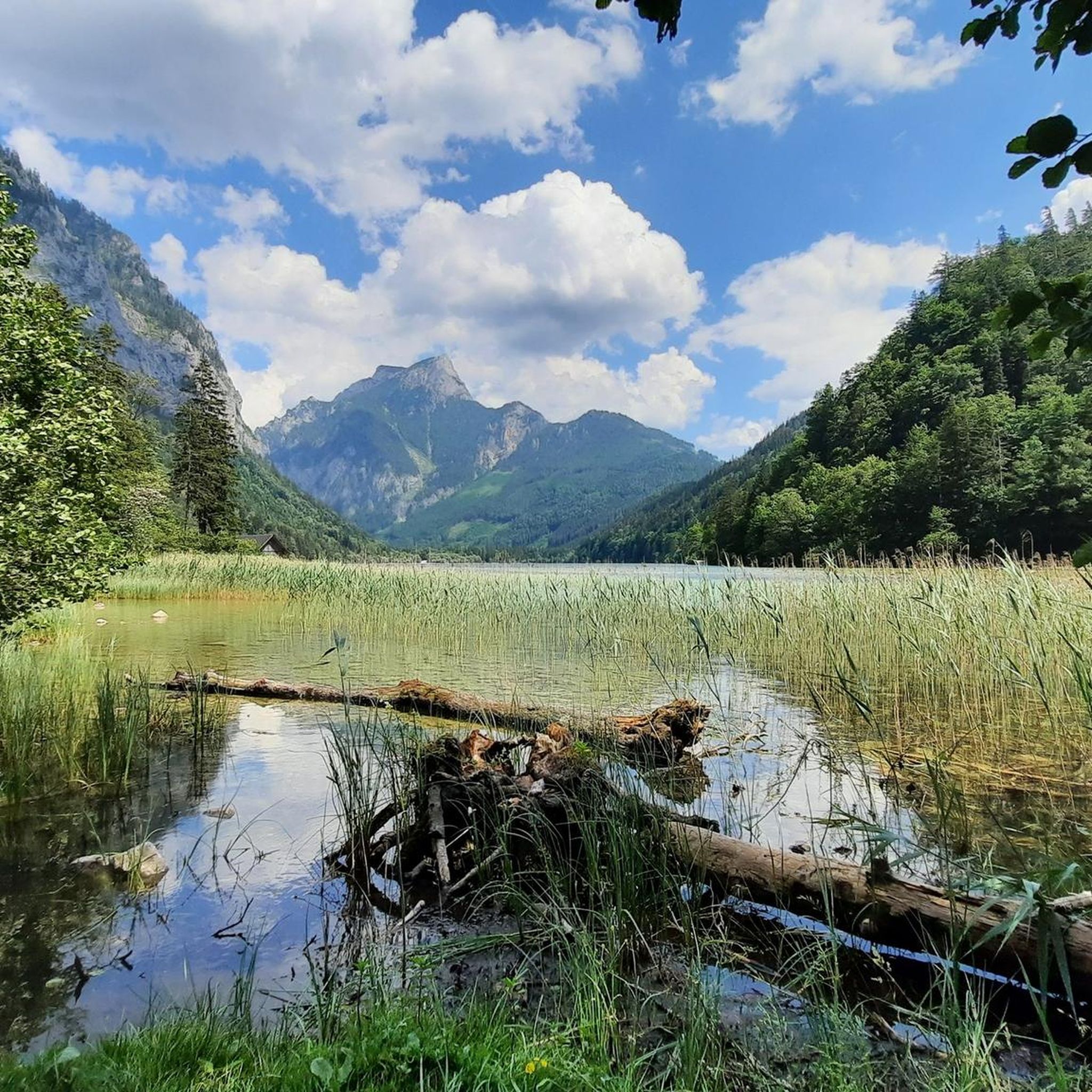
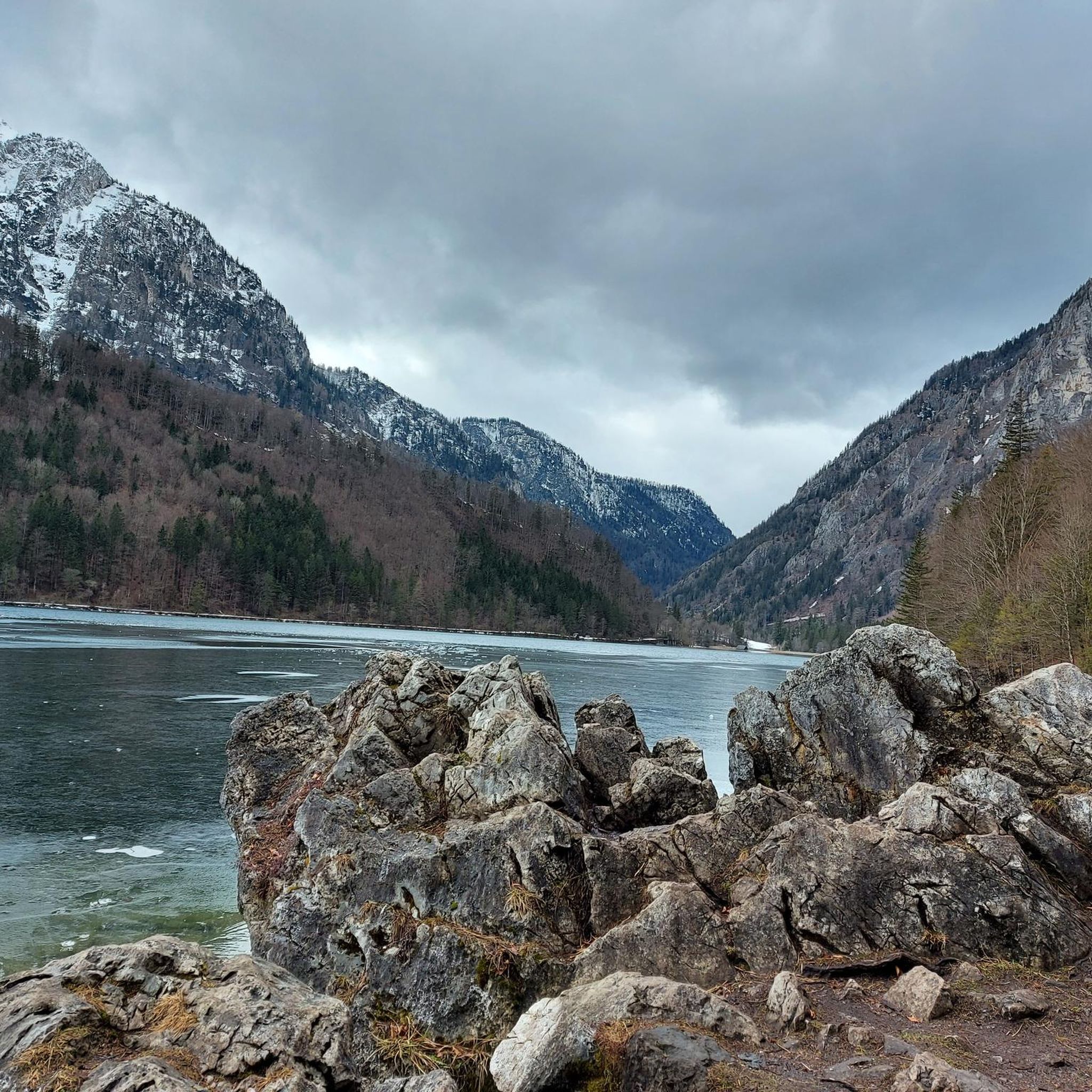
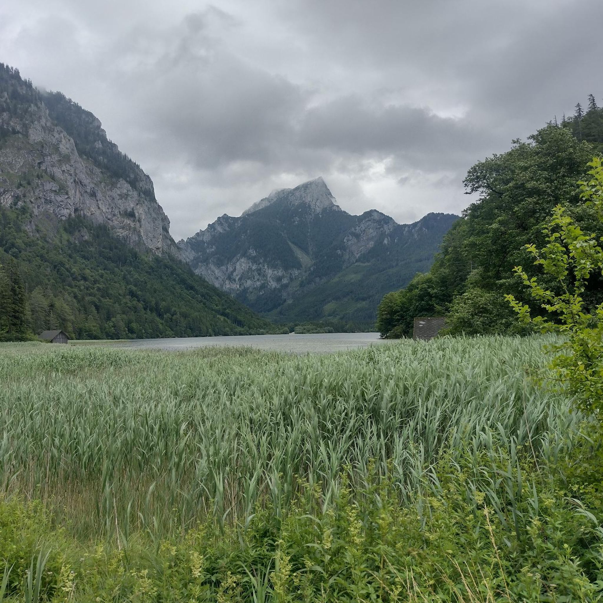
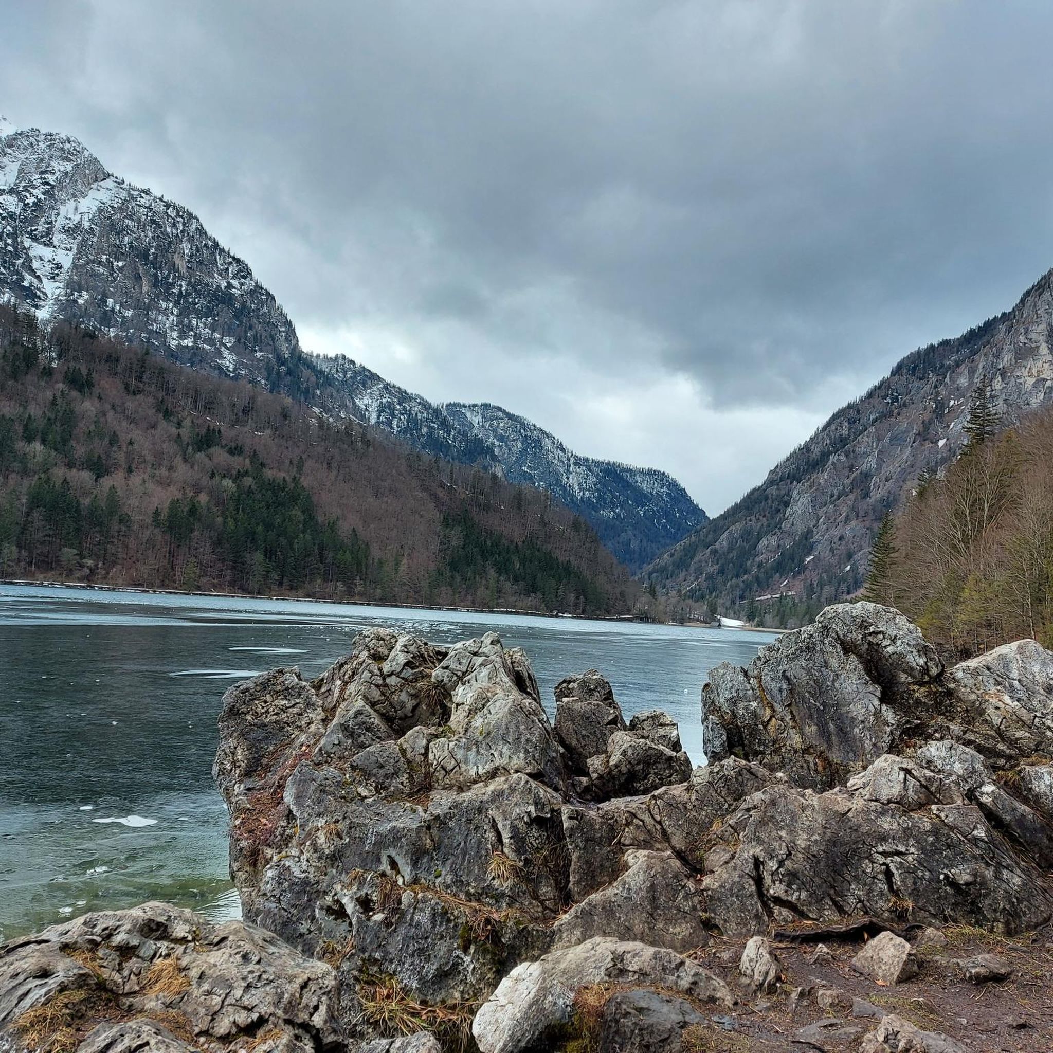
Road cycling routes around Leopoldsteiner Lake are set within the Styrian Alps of Austria, featuring a pristine mountain lake at 628 meters (2,060 ft) above sea level. The region is characterized by rugged rock walls, lush mixed and coniferous forests, and varied terrain suitable for road bikes. Many routes offer mostly paved surfaces and include sections with significant elevation gain, catering to different fitness levels.
Best road cycling routes around Leopoldsteiner Lake
- The most popular road cycling route is Stunning Alpine panorama – Admont Abbey loop from Eisenerz, a 49.2 miles (79.3 km) trail that takes 3 hours 57 minutes to complete. This difficult route offers expansive views of the surrounding Alpine landscape.
- Another top favourite among local road cyclists is Leopoldsteiner See – Weidendom Visitor Center loop from Eisenerz, a difficult 41.9 miles (67.4 km) path. This route navigates through diverse scenery, including the lake's emerald-green waters and forested areas.
- Local road cyclists also love the Lake Leopoldstein – Enns Bridge loop from Eisenerz, a 42.7 miles (68.8 km) trail leading through varied terrain, often completed in about 3 hours 20 minutes.
- Road cycling around Leopoldsteiner Lake is defined by a pristine mountain lake, rugged rock walls, and dense mixed forests. The network offers options for different ability levels, from moderate rides to challenging ascents.
- The routes in Leopoldsteiner Lake are highly rated by the komoot community with an average score of 4.8 stars from over 8 reviews. More than 170 road cyclists have used komoot to explore Leopoldsteiner Lake's varied terrain.
Last updated: October 5, 2026
2.0
(1)
14
riders
79.3km
03:53
1,060m
1,060m
Hard road ride. Very good fitness required. Mostly well-paved surfaces and easy to ride.
12
riders
57.4km
02:46
730m
730m
Moderate road ride. Good fitness required. Mostly well-paved surfaces and easy to ride.

6
riders
69.5km
03:25
940m
940m
Hard road ride. Very good fitness required. Mostly well-paved surfaces and easy to ride.
4.0
(1)
32
riders
40.9km
02:03
540m
540m
Moderate road ride. Good fitness required. Mostly well-paved surfaces and easy to ride.
4.8
(12)
144
riders
83.9km
04:10
1,280m
1,280m
Hard road ride. Very good fitness required. Mostly well-paved surfaces and easy to ride.
Our route recommendations are based on thousands of hikes, rides, and runs completed by other people on komoot.
Start today with a free account
Your next adventure awaits.
Tips from the Community

As of 2026: The parking lot at Buchauer Sattel costs (day ticket) €7. There is a parking machine. This only accepts coins or card payment is also possible.
0
0

Wonderful monastery. Definitely visit the largest monastic library in the world, which is housed within the walls. Very impressive!
0
0

Only accessible on foot or by bike.
0
0

Starting point for hikes to the Grabneralm, the Admonter Haus, the Grabnerstein, and the Admonter Warte. Parking is subject to a fee, currently €7 for a day ticket. Public restrooms and self-service refreshments are available.
1
0
The Lauferbauer Bridge is a listed historical monument, a road crossing over the Enns River in the Gesäuse region, connecting the village of Weng im Gesäuse with the municipality of Admont. Only a few Enns bridges built using traditional methods remain. The force of the river takes its toll on the bridge piers and the driven piles. In 2003, the authorities decided to rebuild the dilapidated but historically protected bridge using the old timber construction method, without steel girders or concrete piers. This required 400 cubic meters of durable fir and larch wood. The longitudinal girders, in particular, presented a challenge due to their dimensions: enormous fir trees were painstakingly brought down from the highlands to the valley. This ancient timber construction technique is documented in the archives; such "Enns trees" were already being used for bridge construction 400 years ago. Visiting Austria's largest wooden bridge and enjoying the view of the Gesäuse National Park from the bridge is well worth the trip. However, just 13 years later, in 2017, the bridge had to be rebuilt once again. The reason: instead of robust larch wood, the less suitable fir wood was used. The municipality of Admont was left to bear the costs of the reconstruction. Both the planning office commissioned for the bridge construction and the construction company have since gone bankrupt. The financial damage was estimated at €450,000, but this figure has now been reduced. Fortunately, after the demolition of the Lauferbauer Bridge, it turned out that the underlying girders were still fully functional. Reconstruction work began on May 8th with the installation of the new steel girders. The remaining wooden structure was scheduled to take another four weeks to complete. The renovated Lauferbauer Bridge was reopened to public traffic on June 12, 2017, with a weight restriction of up to twelve tons (Source: https://www.ennstalwiki.at/wiki/index.php/Lauferbauerbr%C3%BCcke
1
0
The view is magnificent.
2
0
Well-suited for cyclists Cycling equipment accessible to the public
0
0

The better way instead of through the tunnel
0
0
Frequently Asked Questions
What kind of terrain can I expect on road cycling routes around Leopoldsteiner Lake?
The region offers diverse terrain, from mostly paved surfaces suitable for road bikes to sections with significant elevation gain. You'll encounter rugged rock walls, lush mixed and coniferous forests, and stunning views of the pristine mountain lake. The broader Styrian region is known for routes ranging from gentle, flat stretches to demanding mountain passes.
Are there road cycling routes suitable for beginners or those seeking an easier ride?
While many routes around Leopoldsteiner Lake are classified as difficult, there is at least one moderate option. The Leopoldsteiner See loop from Radmer is a moderate 25.3-mile (40.8 km) route with an elevation gain of about 530 meters, offering a less strenuous experience compared to the more challenging ascents in the area.
What are some challenging road cycling routes for experienced riders around Leopoldsteiner Lake?
Experienced road cyclists will find several demanding routes. The Buchauer Sattel – Stunning Alpine panorama loop from Radmer is a difficult 52.1-mile (83.9 km) route with over 1,280 meters of elevation gain. Other challenging options include the Stunning Alpine panorama – Admont Abbey loop from Eisenerz and the Leopoldsteiner See – Weidendom Visitor Center loop from Eisenerz, both offering significant climbs and expansive views.
What natural features and viewpoints can I discover along road cycling routes near Leopoldsteiner Lake?
Road cycling routes in the area often provide breathtaking views of the emerald-green Leopoldsteiner Lake, reflecting the rugged rock walls of the Seemauer. You can enjoy sights like the North Shore of Leopoldsteiner Lake and various viewpoints overlooking the lake. The routes also pass through lush mixed and coniferous forests, and you might even spot an Idyllic Forest Stream.
Are there any specific attractions or points of interest accessible by road bike around Leopoldsteiner Lake?
Beyond the natural beauty, you can find points of interest such as the Boot Rental at Leopoldsteiner See, which offers a different way to experience the lake. The region also features local eateries like Restaurant Leopoldsteinersee and Seestüberl on the eastern shore, where you can enjoy regional delicacies, including fresh lake trout.
Where can I park my car when road cycling around Leopoldsteiner Lake?
There is dedicated parking available, such as the Leopoldsteinersee Trailhead Parking. The path leading from the parking lot along the lake is wide and bicycle-friendly, making it convenient to start your ride.
Is it possible to reach Leopoldsteiner Lake by public transport with a road bike?
While the region is well-suited for road cycling, specific details about public transport options that accommodate bikes directly to Leopoldsteiner Lake are not readily available. It is advisable to check local public transport schedules and regulations regarding bike transport for the Styrian region if you plan to use this option.
When is the best season for road cycling around Leopoldsteiner Lake?
The spring, summer, and early autumn months generally offer the most favorable conditions for road cycling around Leopoldsteiner Lake. During these seasons, the weather is typically milder, and the scenic beauty of the lake and surrounding mountains is at its peak. The spring-fed water of the lake remains cool, even in summer, reaching a maximum of about 20°C.
Are there family-friendly road cycling options near Leopoldsteiner Lake?
While the immediate circular path around Leopoldsteiner Lake is flat and suitable for all ages, including those with strollers, it is primarily a walking path. For road cycling, routes vary in difficulty. Families with older children or those comfortable with moderate distances might enjoy parts of the Leopoldsteiner See loop from Radmer, which is classified as moderate.
What do other road cyclists enjoy the most about road cycling in Leopoldsteiner Lake?
The area is highly rated by the komoot community, with an average score of 4.8 stars from over 8 reviews. Reviewers often praise the stunning Alpine panoramas, the diverse scenery including the emerald-green lake and forested areas, and the varied terrain that caters to different skill levels. The challenging ascents and rewarding views are frequently highlighted.
Are there any cafes or restaurants near the road cycling routes at Leopoldsteiner Lake?
Yes, there are dining options available. Restaurants like Leopoldsteinersee and Seestüberl are located on the eastern shore of the lake, offering regional delicacies. These can be convenient stops for refreshments or a meal during or after your road cycling tour.
Can I find accommodation options close to Leopoldsteiner Lake for a road cycling trip?
The Leopoldsteiner Lake area, being a popular outdoor destination in the Styrian Alps, offers various accommodation options. While specific establishments are not detailed here, you can find hotels, guesthouses, and possibly holiday rentals in the nearby towns and villages, providing convenient bases for your road cycling adventures.
Most popular routes around Leopoldsteiner Lake
Most popular attractions around Leopoldsteiner Lake

Get inspired with the komoot mobile app


Explore more
Browse the best Road cycling routes in other regions.
