The best road cycling routes around Saint-André-d'Argenteuil
4.9
(6)
163
riders
17
rides
Road cycling routes around Saint-André-d'Argenteuil traverse a landscape characterized by the Ottawa River and Rivière du Nord, agricultural plains, and historic villages. The region, part of the Laurentides, offers diverse terrain suitable for road cyclists, including dedicated bike paths and scenic rural roads. Routes often feature views of waterways and pass through wooded areas like the Boisé multiressource Von Allmen. The area's geography provides a mix of flat sections and moderate elevation gains, catering to varied cycling preferences.
Best road…
Last updated: October 2, 2026
26
riders
38.5km
01:45
380m
380m
Moderate road ride. Good fitness required. Mostly well-paved surfaces and easy to ride.
11
riders
46.8km
02:14
370m
370m
Moderate road ride. Good fitness required. Mostly well-paved surfaces and easy to ride.

13
riders
Moderate road ride. Good fitness required. Some segments of this route may be unpaved and difficult to ride.
8
riders
69.1km
02:43
260m
260m
Moderate road ride. Good fitness required. Mostly well-paved surfaces and easy to ride.
5.0
(1)
10
riders
66.0km
02:56
330m
330m
Moderate road ride. Good fitness required. Mostly well-paved surfaces and easy to ride.
Get access to more routes and recommendations from other explorers.
Already have an account?
Our route recommendations are based on thousands of hikes, rides, and runs completed by other people on komoot.
Start today with a free account
Your next adventure awaits.
Popular around Saint-André-d'Argenteuil

Other adventures around Saint-André-d'Argenteuil

Tips from the Community

The ferry operates on demand, but as it is very busy, it runs about every 30 minutes. Payment is made inside the ferry in cash only.
0
0
A beautiful view from the ferry. Very close to the ferry, on the Oka side, there is an ice cream shop to get an ice cream while waiting for the ferry.
0
0

Very close to the water, a real pleasure.
0
0

The road conditions are not too bad on st Henri it’s so serine but main rod to Hudson is like a mine field one can’t get the speed if you want to turn it on . I suggest to ride a bit in the middle it is safer
0
0

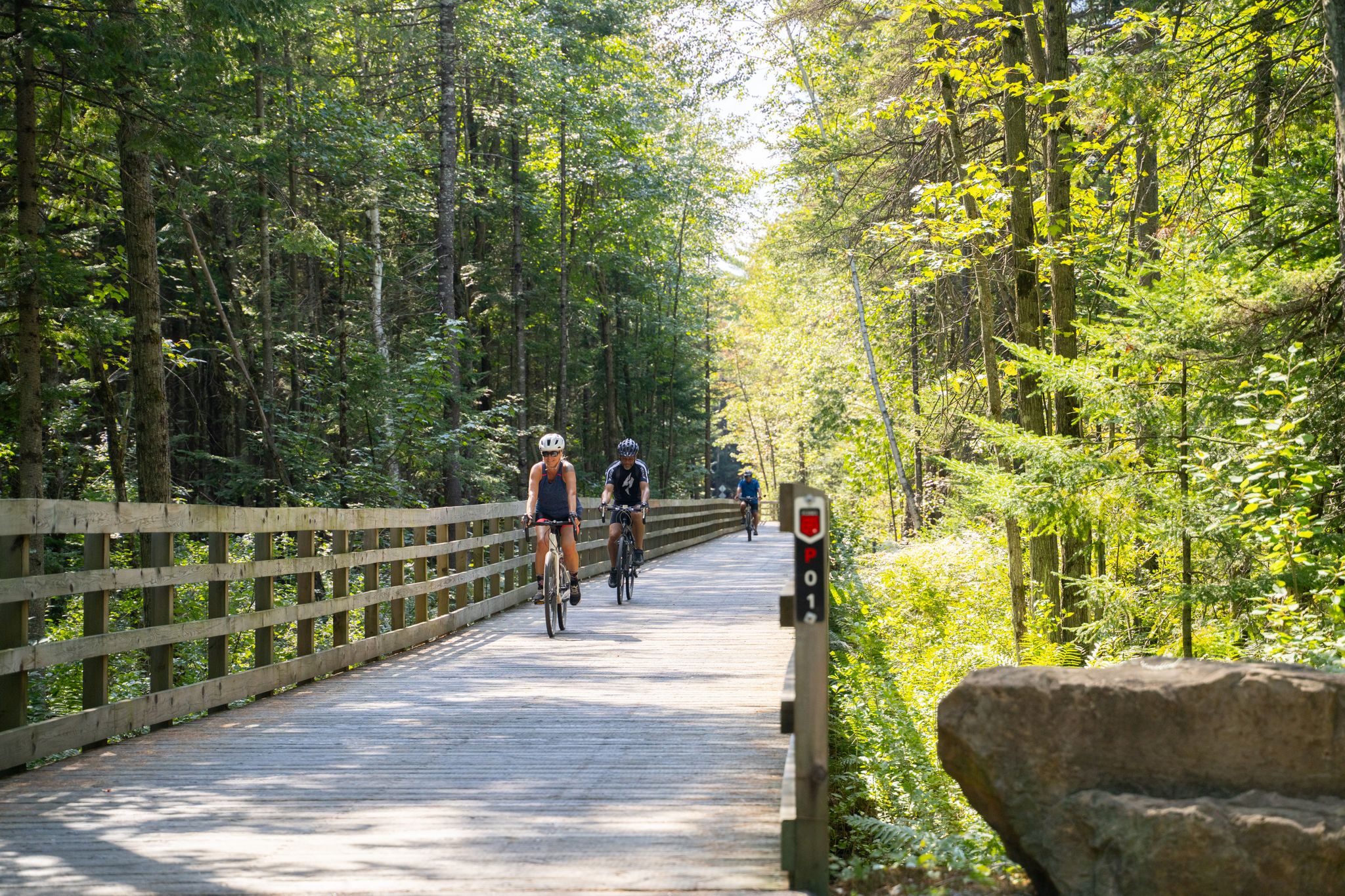
This paved multiuse trail makes for an exhilarating getaway from the nearby campground, or a peaceful escape from the city streets that are equally nearby. The entirety of the trail runs about 50 km.
0
0

While passing through this area, you may find buckets hanging off trees. This area is where the Mountain Sugar Shack harvests maple syrup from the maples, then boils it down to its final product. Typically, modern productions use more advanced tools, but this area practices the original method of making maple syrup. Want to taste the final product? Head over to Mountain Sugar Shack to buy some or enjoy a meal with some authentic Maple Syrup.
0
0

The town of Lachute, in the Laurentians, combines historical heritage and nature, with heritage buildings, trails, parks, golf, flea market and annual cultural events.
1
0
Located on the Ottawa River in the Laurentians, the canal was built starting in the 1820s and opened in 1833. Originally, it was part of a network of canals designed to bypass the Long-Sault rapids and facilitate navigation between Montreal, Ottawa and beyond.
0
0
Frequently Asked Questions
How many road cycling routes are available in Saint-André-d'Argenteuil?
The Saint-André-d'Argenteuil region offers a wide variety of road cycling routes. Our guide features over 20 routes, ranging from easy to moderate difficulty, ensuring options for different skill levels.
What kind of terrain can I expect on road cycling routes in Saint-André-d'Argenteuil?
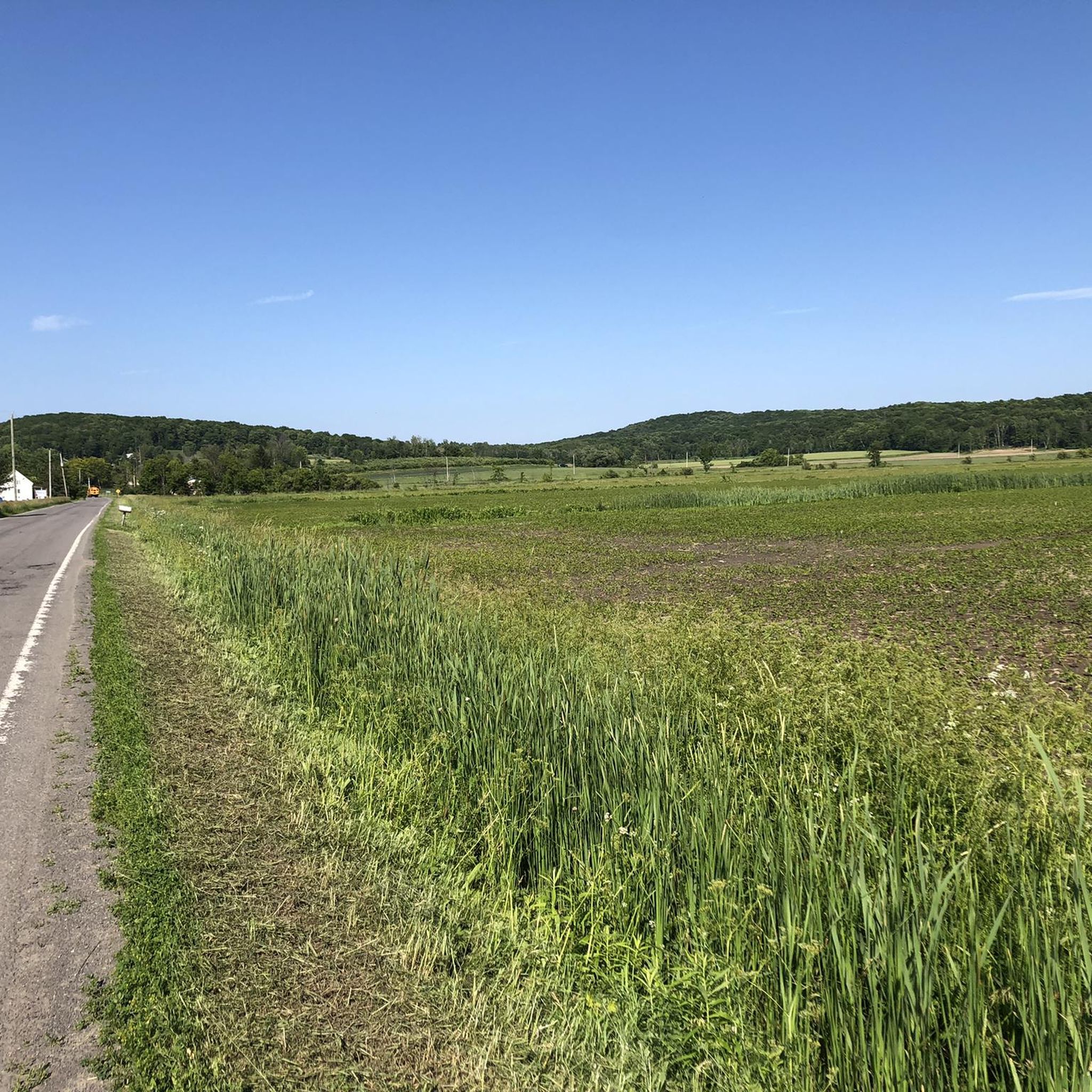
Road cycling routes in Saint-André-d'Argenteuil feature diverse terrain. You'll find picturesque agricultural plains, scenic stretches along the Ottawa River and Rivière du Nord, and routes passing through historic villages and wooded areas like the Boisé multiressource Von Allmen. The area offers a mix of flat sections and moderate elevation gains.
What is the best time of year for road cycling in Saint-André-d'Argenteuil?
The best time for road cycling in Saint-André-d'Argenteuil is typically from spring through autumn, when the weather is mild and the natural scenery is at its most vibrant. Summer offers warm temperatures, while spring and fall provide cooler rides and beautiful foliage.
Are there any easy road cycling routes suitable for beginners or families?
Yes, the region offers several easy routes perfect for beginners or families. The Lachute loop from Lachute is a moderate route that traverses agricultural plains, providing a pleasant ride. Additionally, the VéloRoute d'Argenteuil includes an 8.1 km dedicated bike path, offering a safe and easy environment for cycling.
What scenic viewpoints or natural features can I discover along the road cycling routes?
Many routes offer stunning views of the Ottawa River and Rivière du Nord. You can also explore the Boisé multiressource Von Allmen, a wooded area with trails and the impressive Passerelle Desjardins d'Argenteuil, a 100-meter suspension bridge over the Rivière du Nord. The agricultural plains also provide picturesque rural scenery.
Are there historical landmarks or interesting places to visit while cycling in the region?
Absolutely. The region is rich in history. You can cycle past the Carillon Canal National Historic Site, which commemorates a military canal from 1833. The historic villages of St. Andrews East and Carillon offer charming architecture, and Carillon is home to the Argenteuil County Museum, housed in a historic military barracks.
Are there any dedicated bike paths or longer cycling circuits in the area?
Yes, the region is known for its extensive cycling network. The VéloRoute d'Argenteuil is a 54-kilometer route that includes an 8.1 km dedicated bike path. For longer adventures, the Cycl-O-Route de la Rivière des Outaouais spans nearly 200 km, comprising three loops along the Quebec and Ontario shores of the Ottawa River.
What do other road cyclists enjoy the most about road cycling in Saint-André-d'Argenteuil?
The area is highly rated by the komoot community, with an average score of 4.9 stars. Reviewers often praise the diverse landscapes, from riverine views to agricultural plains, and the opportunity to explore charming historic villages and dedicated bike paths.
Are there any circular road cycling routes available?
Many of the routes in Saint-André-d'Argenteuil are designed as loops, allowing you to start and end at the same point. For example, the Hudson–Oka Ferry – Robillard Descent loop from Saint-Placide offers scenic views along the Ottawa River shores as a circular path.
Where can I find parking for road cycling routes in Saint-André-d'Argenteuil?
While specific parking areas vary by route, many trailheads and points of interest in the region, especially near villages like St. Andrews East and Carillon, offer convenient parking options for cyclists. It's advisable to check the starting point of your chosen route for the best parking information.
Can I access road cycling routes in Saint-André-d'Argenteuil using public transport?
Public transport options directly to specific trailheads might be limited in some rural areas of Saint-André-d'Argenteuil. However, major towns within the broader Laurentides region may offer connections. For detailed information, it's best to consult local public transport schedules for routes serving the Saint-André-d'Argenteuil municipality.
Are there any routes with notable elevation changes for a more challenging ride?
Yes, for those seeking more challenging rides, routes like the Mont Rigaud Summit loop from Sainte-Marthe offer varied terrain with notable elevation changes, providing a good workout for experienced cyclists.
Most popular routes around Saint-André-d'Argenteuil
Most popular attractions around Saint-André-d'Argenteuil

Get inspired with the komoot mobile app


Explore more
Browse the best Road cycling routes in other regions.
