The best walks and hikes around Huntsville
4.5
(88)
467
hikers
18
hikes
Hiking around Huntsville is characterized by its diverse landscapes, including mountains, dense forests, and numerous nature preserves. The region features elevated terrain from Monte Sano and Green Mountain, offering varied trail conditions and scenic overlooks. Water features like streams and waterfalls contribute to the natural beauty, flowing into the Tennessee River system. Hikers can explore hardwood forests, unique rock formations, and wetlands along the Flint River.
Best hiking trails around Huntsville
- The most popular hiking route is Hunter's Bay Trail…
Last updated: November 2, 2026
3.5
(4)
11
hikers
5.46km
01:25
40m
40m
Hike the easy Hunter's Bay Trail, a 3.4-mile (5.5 km) route featuring unique floating boardwalks and scenic riverside views in Huntsville.
2
hikers
4.75km
01:16
50m
50m
Easy hike. Easily walkable paths.

5.0
(1)
2
hikers
1.09km
00:17
10m
10m
Easy hike. Easily walkable paths.
2.66km
00:42
20m
20m
Easy hike. Easily walkable paths.
4.6
(38)
134
hikers
Easy hike. Easily walkable paths.
Get access to more routes and recommendations from other explorers.
Already have an account?
Our route recommendations are based on thousands of hikes, rides, and runs completed by other people on komoot.
Tips from the Community

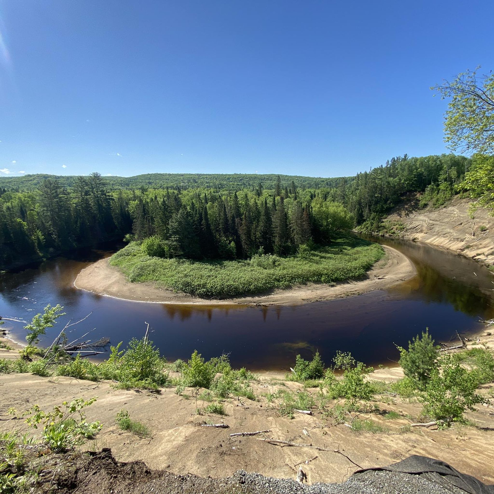
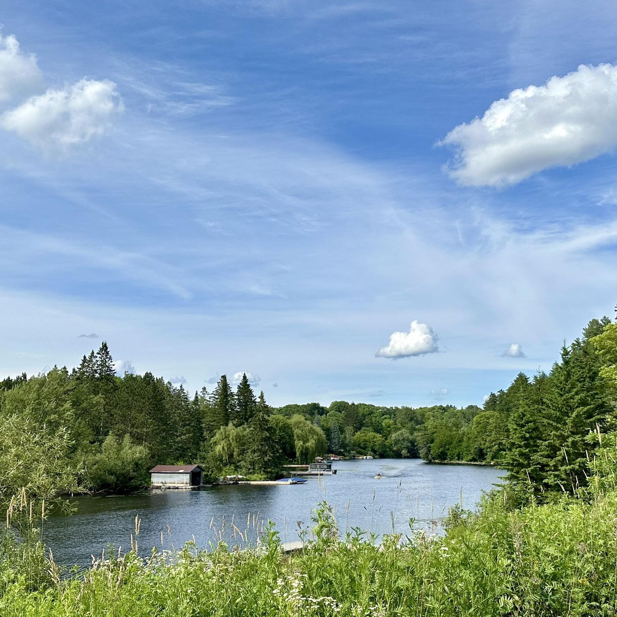
From the road bridge over the Little East River, you have a magnificent view of Arrowhead Lake to the north and the creek bed of the Little East River to the south. The source of the Little East River lies further north in the glacial sediment lakes. The river flows through the Beaver Meadow wetland and feeds Arrowhead Lake. Visit on October 1, 2026 Note: The Komoot description for this highlight refers to a different viewpoint in Arrowhead Provincial Park. This one is located southeast of the visitor center with a view of the Big East River.
0
0
The circular hike on the Arrowhead Lake Trail leads through a colorful deciduous forest in late autumn – sometimes with a view of the lake. The hike can easily be combined with the Stubb’s Falls Trail and the Beaver Meadow Trail for a longer circular hike. Visit on October 1, 2026
0
0
During our visit on October 1, 2026, the trees around the lake are showing their autumn colors – wonderful to see.
0
0
The trail to Stubb’s Falls starts at the parking lot on the south shore of Arrowhead Lake by the bridge over the Little East River. A well-maintained path leads south on the east side above the river - more or less flat. At a few points, we have a view of the river. After about 1.2 kilometers, the route leads down a steel staircase and across a pedestrian bridge over the water. On the bridge, you have a good view of the waterfall. From the rocks in the riverbed, you get a different perspective of Stubb’s Falls – caution is advised after rain. The return path on the west bank runs along a forest trail. Visited on October 1, 2026
0
0

Forest Glen's Main Trail is an easy loop through the trees, taking around 40 minutes at a relaxed pace. It’s a simple, pleasant forest loop: just enough trail to stretch your legs, breathe in the woodland air, and enjoy a quiet break outdoors. It's also a great place to explore with your furry friends.
0
0

This parking lot located just off of Grandview Forest Hill Road is located near the halfway point of the Fairy View Trail. This makes it a convenient place to start and end a shorter hike or bike on the multi-use Fairy Vista Trail.
0
0
The Fairy Vista Trail is a paved, multi-use trail that runs for 3.4 kilometers alongside Highway 60 and the shoreline of Fairy Lake. Along the way you'll pass through open fields and shaded forest with occasional viewpoints and benches dotted on the path.
0
0
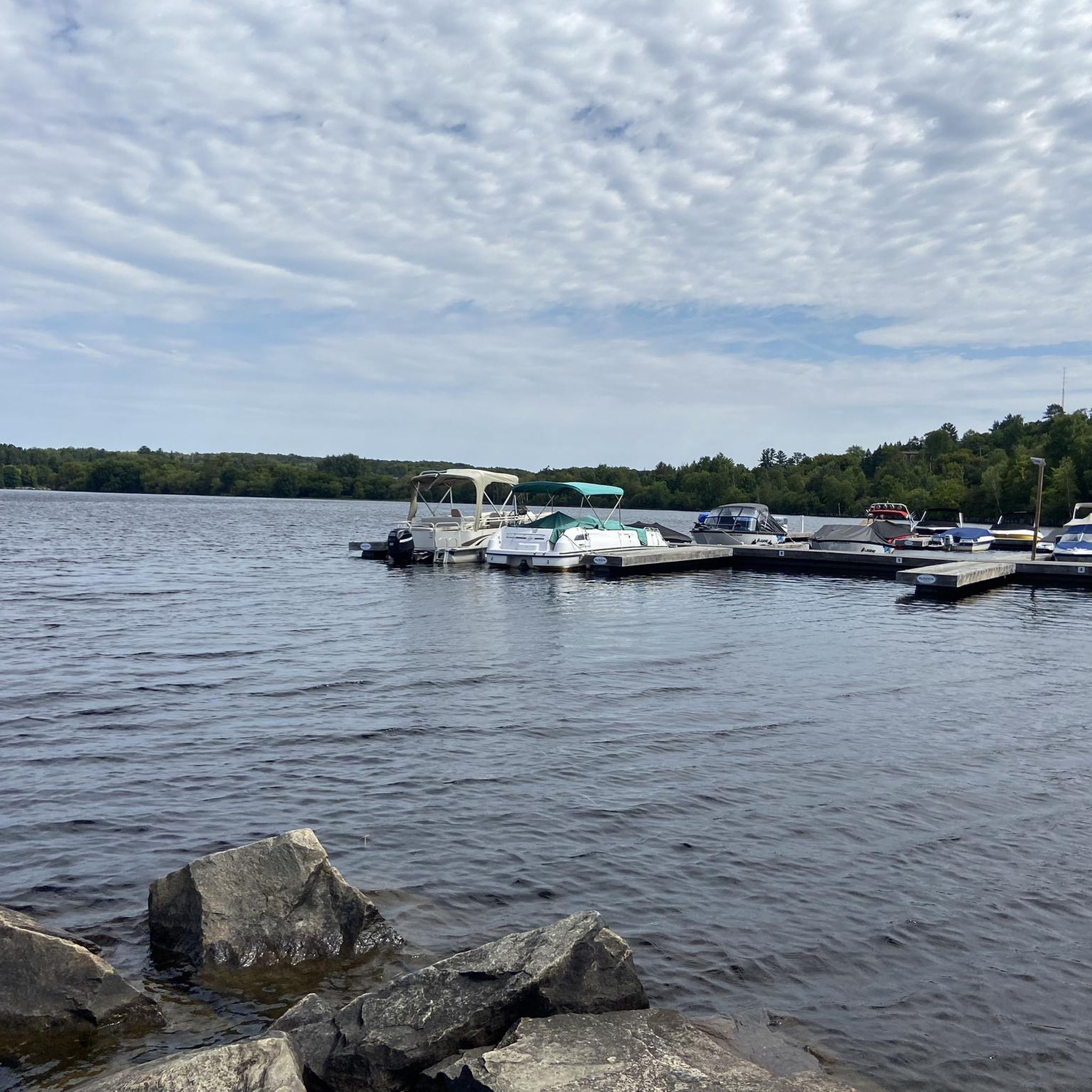
This small park on Hunters Bay has nice views of the water and access to the walking trail that you can follow around the bay.
0
0
Frequently Asked Questions
How many hiking trails are available around Huntsville?
Huntsville offers a wide variety of hiking opportunities, with over 16 routes documented on komoot. These trails range from easy strolls to more challenging excursions, catering to different skill levels.
Are there any easy, family-friendly hikes in Huntsville?
Yes, Huntsville has many easy trails suitable for families. The Hunter's Bay Trail is an easy 3.4-mile path offering a pleasant walk. Additionally, the Madison County Nature Trail on Green Mountain is a popular, easy 1.5-mile loop around Sky Lake, featuring a covered bridge and an old log cabin, perfect for a family outing.
Where can I find trails with waterfalls in the Huntsville area?
Huntsville's region is rich with water features. You can find waterfalls like Alum Falls on Green Mountain. The Stubb's Falls – View of Arrowhead Lake loop is an easy 4.6-mile path that features views of Arrowhead Lake and the scenic Stubb's Falls. The Rainbow Mountain Trail is also known for its scenic waterfall.
Are there any dog-friendly hiking trails in Huntsville?
Many of Huntsville's nature preserves and state parks welcome dogs, typically requiring them to be on a leash. Areas like Monte Sano Nature Preserve and Monte Sano State Park are popular choices for hikers with dogs. Always check specific park regulations before heading out.
What are some good options for circular hiking routes?
Huntsville offers several excellent loop trails. The Stubb's Falls – Arrowhead Lake Trail loop is a 2.7-mile trail leading through forested areas. The Madison County Nature Trail on Green Mountain is another popular 1.5-mile loop. Monte Sano State Park also features loop options like the South Plateau Loop.
Where can I find more challenging hikes around Huntsville?
For more challenging hikes, consider areas with significant elevation changes. Monte Sano State Park offers routes like the McKay Hollow Trail, known for its rocky terrain and geological features. Blevins Gap Nature Preserve also provides over 12 miles of trails, some with elevation gain, offering panoramic views.
What kind of natural features can I expect to see on Huntsville's trails?
Huntsville's trails showcase diverse natural features, including dense hardwood forests, unique rock formations, bluffs, sinkholes, and caves. You'll also encounter streams, waterfalls, and varied plant life, including native wildflowers. Areas like Hays Nature Preserve offer wetlands and river views, ideal for birdwatching.
Are there any notable landmarks or attractions near the hiking trails?
Yes, the region has several interesting landmarks. Along some trails, you might find geological formations like the 'Stone Cuts' at Monte Sano State Park or Alum Cave, a prehistoric Native American rock shelter on Green Mountain. The Stubb's Falls is a prominent natural attraction. For other points of interest, you can explore the Group of Seven Mural Walk or the Huntsville Town Hall.
What do other hikers enjoy most about hiking in Huntsville?
The hiking community highly rates the trails around Huntsville, with an average score of 4.4 stars. Reviewers often praise the diverse landscapes, from mountain views to serene forests and waterfalls, as well as the well-maintained trail systems that cater to all skill levels.
Is there public transport access to hiking areas in Huntsville?
While Huntsville has a public transit system, many of the nature preserves and state parks are best accessed by car. Some preserves, like Monte Sano Nature Preserve, are relatively close to downtown, but checking specific routes and schedules for public transport to trailheads is recommended if you plan to use it.
What are the parking options like at Huntsville's trailheads?
Most major hiking areas in Huntsville, such as Monte Sano State Park, Monte Sano Nature Preserve, Green Mountain Nature Preserve, and Blevins Gap, offer designated parking lots at their trailheads. Parking availability can vary, especially on busy weekends, so arriving early is often advisable.
Can I find trails that offer scenic overlooks or panoramic views?
Absolutely. Mountains like Monte Sano, Green Mountain, and Blevins Gap provide elevated terrain with stunning overlooks. Blevins Gap Nature Preserve, in particular, is known for offering some of the best panoramic views of Huntsville, Hampton Cove, and the surrounding valleys.
Are there any trails suitable for birdwatching?
Yes, Hays Nature Preserve is an excellent location for birdwatching. Its trails follow the Flint River, winding through small lakes and wetlands, creating a diverse habitat for various bird species. Other forested areas and preserves also offer opportunities for spotting local wildlife.
Most popular attractions around Huntsville

Get inspired with the komoot mobile app


Explore more
Browse the best Hikes in other regions.
