The best walks and hikes around Ferlacher Stausee
4.5
(4374)
28,280
hikers
625
hikes
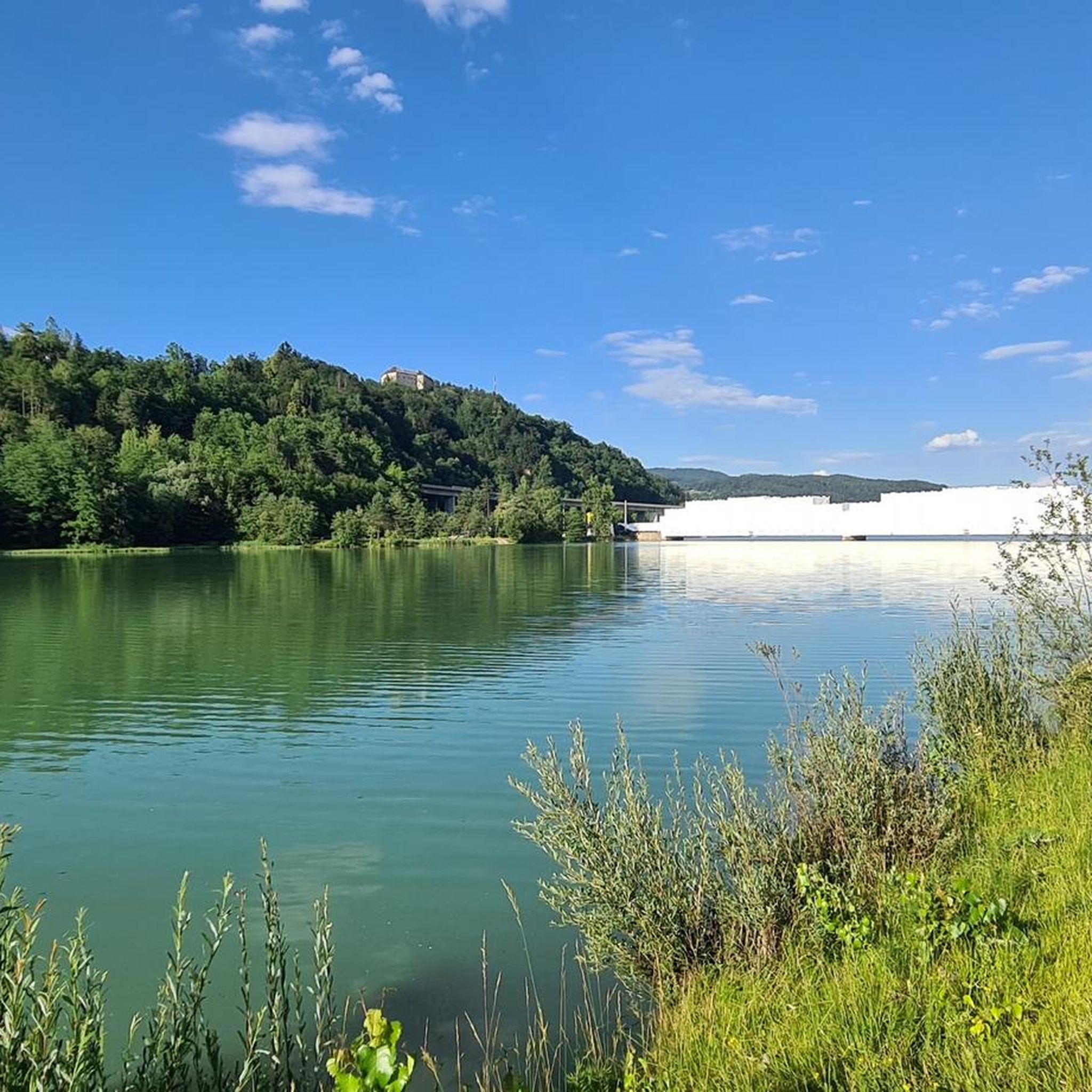
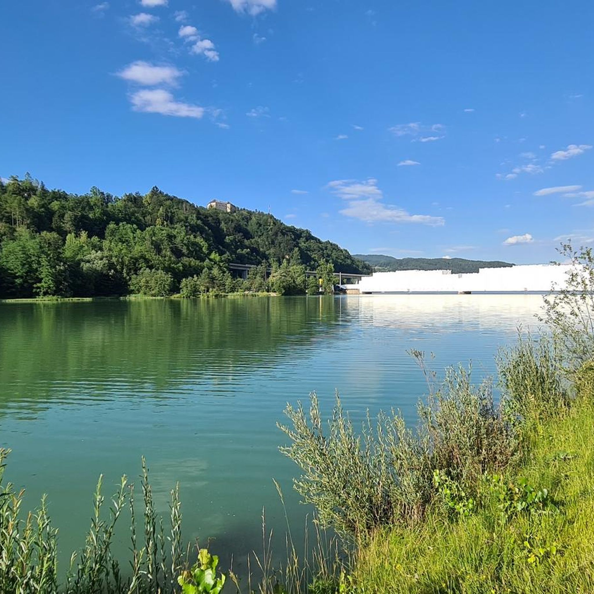
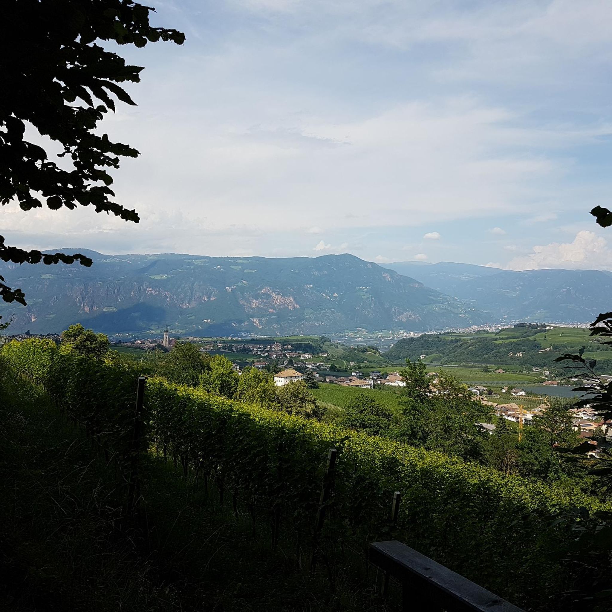
Hiking around Ferlacher Stausee offers diverse trails through a landscape characterized by gentle hills, lush meadows, and dense forests. The region features the emerald green waters of the Ferlacher Stausee reservoir, formed by the damming of the Drau River. Hikers can experience views of the surrounding Karawanken mountains and the slopes of the Sattnitz, with a dyke running along the lake's south side. These natural features create varied terrain for outdoor activities.
Best hiking trails around Ferlacher Stausee
- The most…
Last updated: July 10, 2026
4.6
(5)
27
hikers
3.96km
01:01
20m
20m
Easy hike. Great for any fitness level. Easily-accessible paths. Suitable for all skill levels.
5.0
(1)
34
hikers
Easy hike. Great for any fitness level. Easily-accessible paths. Suitable for all skill levels.

Sign up for free
5.0
(3)
31
hikers
5.54km
01:34
120m
120m
Easy hike. Great for any fitness level. Easily-accessible paths. Suitable for all skill levels.
5.0
(3)
20
hikers
4.64km
01:11
20m
20m
Easy hike. Great for any fitness level. Easily-accessible paths. Suitable for all skill levels.
5.0
(4)
17
hikers
7.94km
02:26
270m
270m
Moderate hike. Good fitness required. Easily-accessible paths. Suitable for all skill levels.
Get access to more routes and recommendations from other explorers.
Sign up for free
Already have an account?
Our route recommendations are based on thousands of hikes, rides, and runs completed by other people on komoot.
Start today with a free account
Your next adventure awaits.
Login or Signup

Tips from the Community

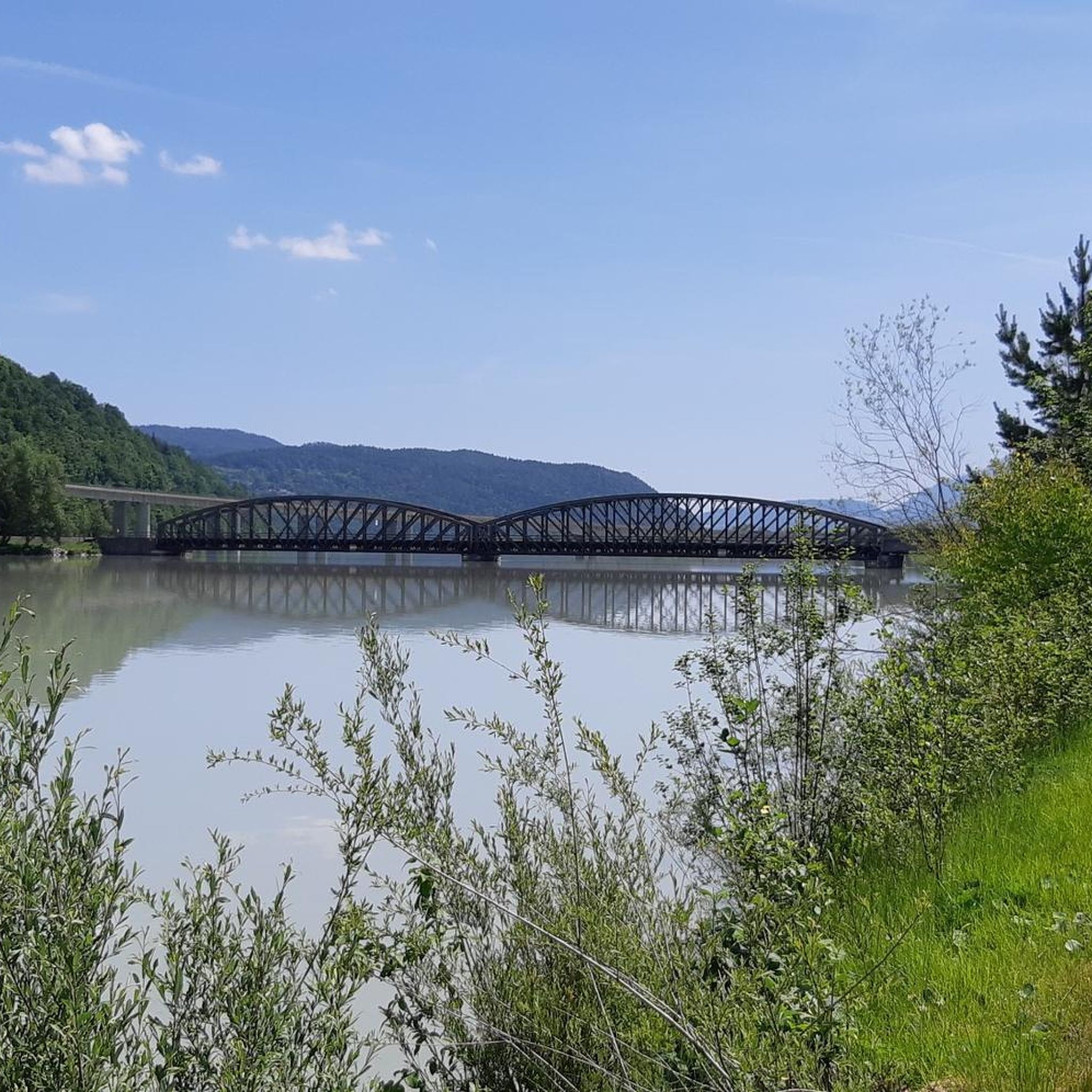
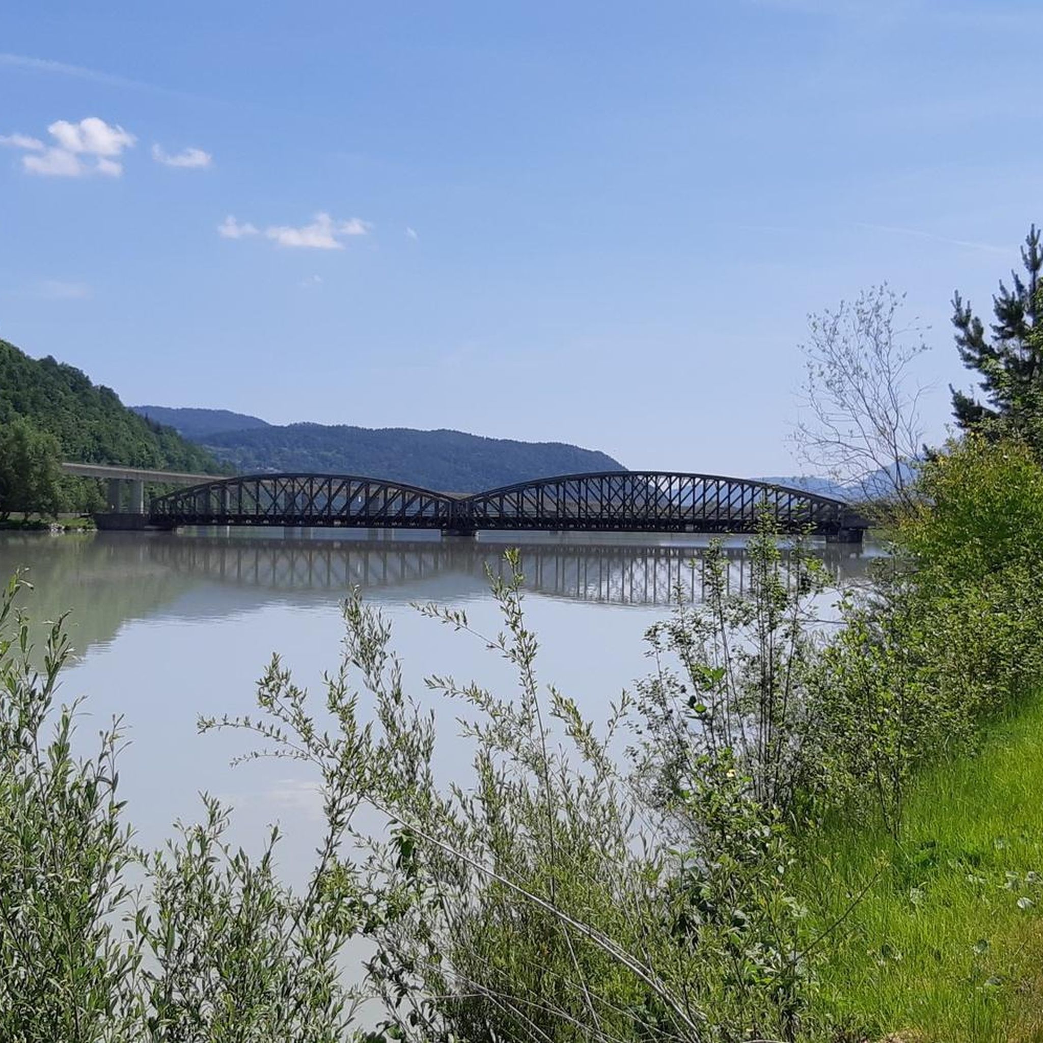
Rusty monument directly at the Ferlach power plant.
0
0

The best connection between Klagenfurt and Ferlach when you are out and about by bike (except for road bikes)
0
0

On the Ferlacher Stausee you can paddle comfortably through the solitude, watching cows graze
2
0
For half a century now, the Drau power plant Ferlach-Maria Rain has been supplying electricity to thousands of Carinthian households.
1
0
The upper area of this territory can still be described as a flowing section, with the head of the reservoir gradually transitioning into a slow-flowing area. In the lower part of the reservoir, the river is bordered by high dams; it is over 500 meters wide here, and the current is extremely low. The shallow water zones with their reed beds offer ideal spawning grounds for fish. The Wellersdorf bay is a protected area and therefore can only be fished from June 16th onwards. Whitefish predominate, and there is a lot of fishing for carp and tench. Salmonids are caught occasionally in the upper area. Among the predatory fish, zander, pike, and catfish are present. There is hardly a native fish species that doesn't exist here; surprises are always possible.
2
0
beautiful cycle and footpath (R7G), far from the road
1
0
Great shortcut from Ferlach to Maria Rain.
1
0

Frequently Asked Questions
How many hiking trails are available around Ferlacher Stausee?
There are over 630 hiking trails around Ferlacher Stausee, offering a wide variety of options for different skill levels and preferences. This includes over 300 easy routes and more than 260 moderate trails.
What is the general terrain like for hiking around Ferlacher Stausee?
The terrain around Ferlacher Stausee is characterized by gentle hills, lush green meadows, and dense forests. You'll find pleasant lakeside paths, and many routes offer stunning views of the emerald green reservoir and the surrounding Karawanken mountains.
Are there easy hiking trails suitable for beginners or families?
Yes, Ferlacher Stausee is ideal for easy walks and family outings. Many paths are easily accessible and suitable for beginners. An example is the Hiking loop from Maria Rain, which is an easy 3.6-mile path offering scenic views.
Are there any challenging hiking routes around Ferlacher Stausee?
While many trails are easy to moderate, there are 61 more difficult routes available for those seeking a greater challenge. These trails often involve more significant elevation changes and longer distances.
What kind of natural features or viewpoints can I expect to see?
Hikers can enjoy the striking emerald green water of the Ferlacher Stausee, views of the Karawanken mountains, and the gentle slopes of the Sattnitz. From certain vantage points, you might even catch a glimpse of the historic Hollenburg Castle. The Ferlach Dam itself is also a notable feature.
Are there circular walks around Ferlacher Stausee?
Yes, circular walks are a popular option. A notable example is the Reßnigteich bathing lake loop from Maria Rain, which is an easy 2.9-mile route. There is also a circular route around the lake itself, approximately 10 kilometers long, providing magnificent views.
What do other hikers enjoy most about the trails here?
The trails around Ferlacher Stausee are highly rated by the komoot community, with an average score of 4.6 stars from over 4000 reviews. Hikers often praise the diverse landscapes, the serene environment, and the well-maintained paths that cater to various fitness levels.
Can I bring my dog on the hiking trails around Ferlacher Stausee?
Generally, dogs are welcome on most hiking trails around Ferlacher Stausee. However, it's always advisable to keep them on a leash, especially in nature protection areas or when encountering other hikers and wildlife.
Are there any historical or cultural attractions nearby that I can combine with a hike?
Yes, beyond the natural beauty, you can explore cultural sites. While hiking, you might spot Hollenburg Castle. The region also offers attractions like Schloss Ebenthal and the Freilichtmuseum Rosental, providing insights into regional culture.
Is there public transport access to the hiking trails around Ferlacher Stausee?
The area around Ferlacher Stausee is generally well-connected, making many trailheads accessible. While specific public transport routes vary, local bus services often connect surrounding towns and villages to points near the lake, allowing for convenient access to hiking starting points.
Where can I find parking for hiking trails around Ferlacher Stausee?
Parking is generally available at various points around Ferlacher Stausee and near popular trailheads. Many routes, especially those starting from towns like Ferlach or Maria Rain, have designated parking areas for hikers. It's recommended to check local signage for specific parking regulations and fees.
What is the best time of year to go hiking around Ferlacher Stausee?
The region is beautiful year-round, but spring and autumn offer particularly pleasant hiking conditions with mild temperatures and vibrant natural colors. Summer is also popular, especially for combining hikes with other water activities on the lake. Winter hikes are possible, though some trails might require appropriate gear.
Most popular routes around Ferlacher Stausee
Most popular attractions around Ferlacher Stausee

Get inspired with the komoot mobile app


Explore more
Browse the best Hikes in other regions.
