The best road cycling routes around Unterer Bockhartsee
4.3
(10)
385
riders
4
rides
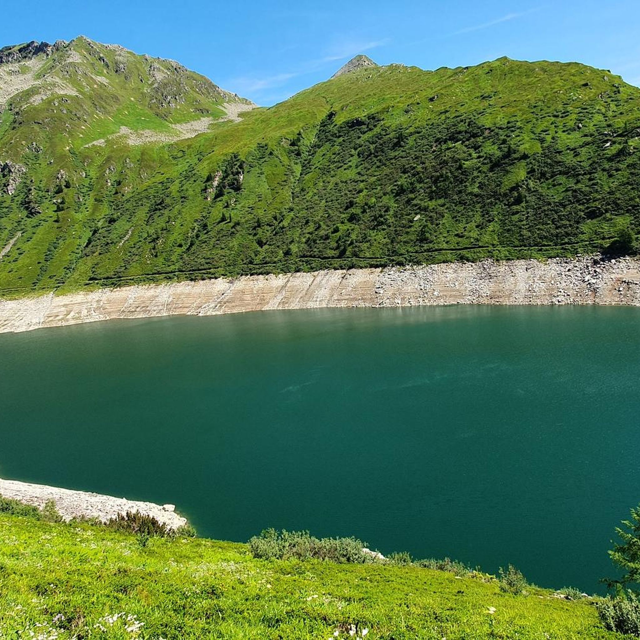
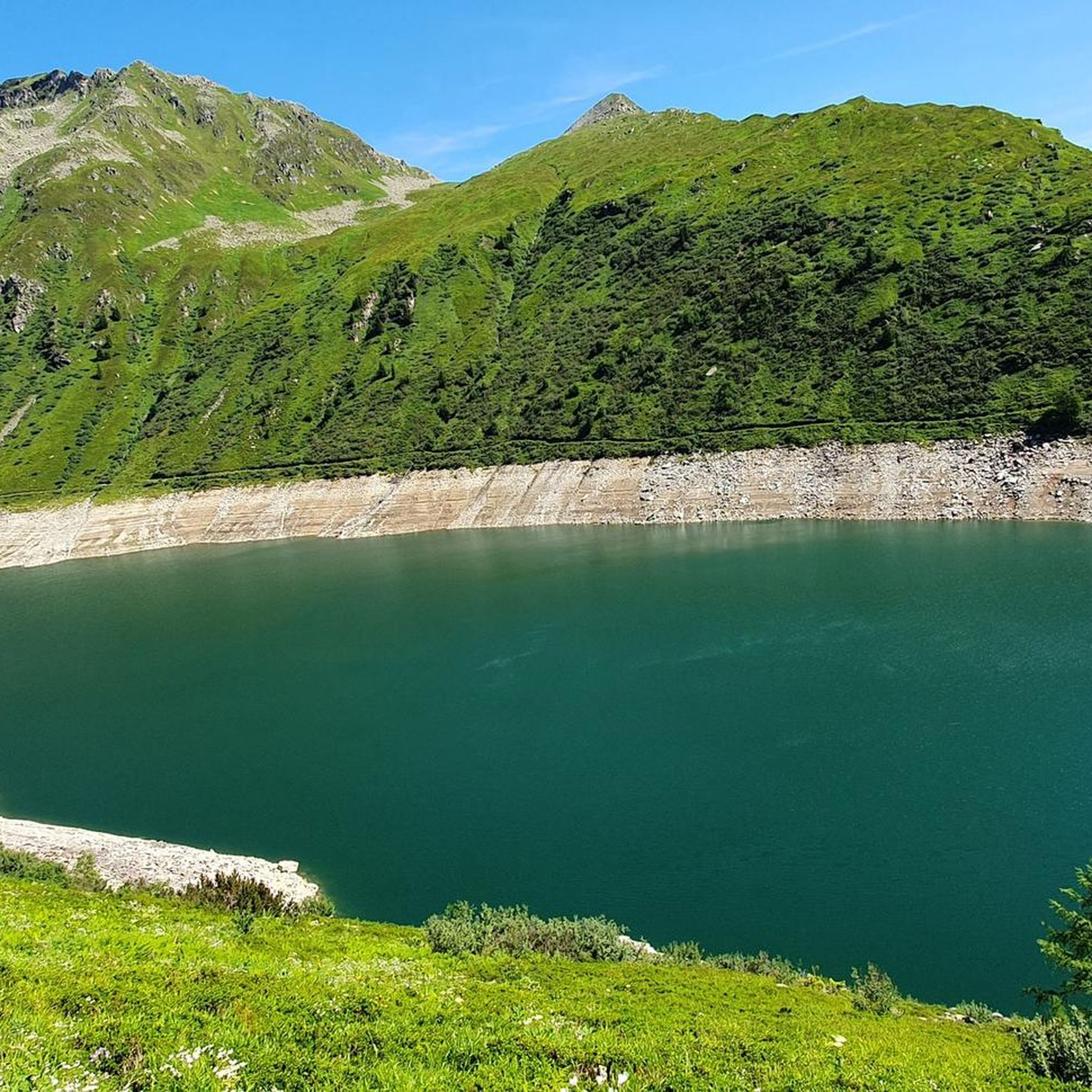
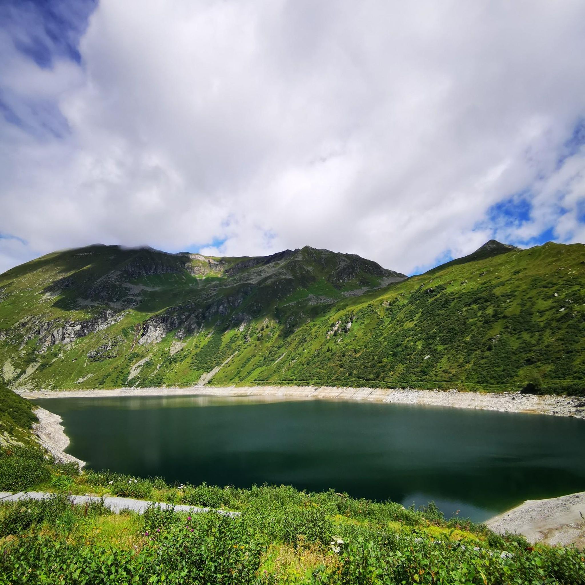
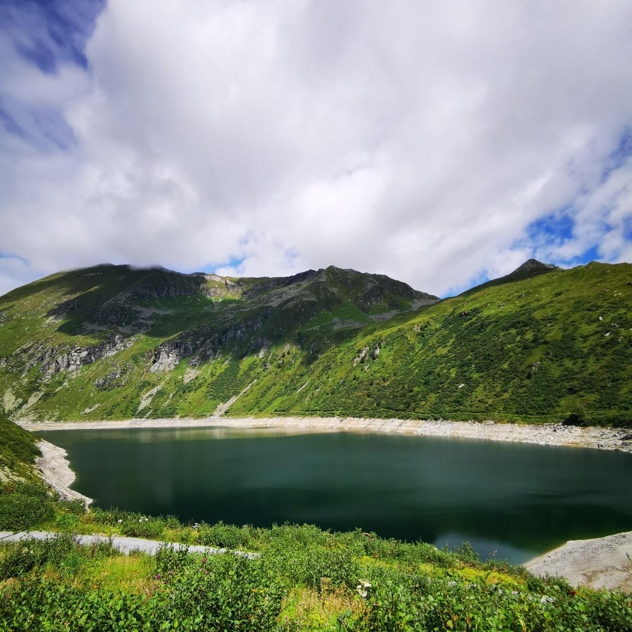
Road cycling routes around Unterer Bockhartsee are situated in the southern Pongau region of Austria, within the Hohe Tauern National Park. The area features a mountainous landscape with dramatic peaks, alpine pastures, and the pristine waters of Unterer Bockhartsee. The Gastein Valley offers a network of cycle paths, including the Gastein Valley cycle path and sections of the Alpe Adria cycle path. While many surfaces are paved, some routes may include unpaved segments.
Best road cycling routes around Unterer Bockhartsee
…Last updated: October 11, 2026
4.4
(5)
115
riders
142km
07:32
2,580m
2,580m
Hard road ride. Very good fitness required. Some segments of this route may be unpaved and difficult to ride.
15
riders
13.0km
00:43
250m
250m
Easy road ride. Great for any fitness level. Mostly well-paved surfaces and easy to ride.

4.5
(4)
206
riders
34.9km
01:37
240m
240m
Moderate road ride. Great for any fitness level. Some segments of this route may be unpaved and difficult to ride.
4.0
(1)
33
riders
Moderate road ride. Good fitness required. Some segments of this route may be unpaved and difficult to ride.
9
riders
8.03km
00:28
190m
200m
Easy road ride. Great for any fitness level. Mostly well-paved surfaces and easy to ride.
Our route recommendations are based on thousands of hikes, rides, and runs completed by other people on komoot.
Start today with a free account
Your next adventure awaits.
Tips from the Community

Always a nice experience again 😜👍
0
0


Sporty climb, definitely an extra 80m altitude in the village.
4
0
Bad Gastein combines a glamorous character with morbid building substance, somehow interestingly combined. You can see that some buildings are being renovated, no comparison to 10-15 years ago.
3
0
Tosender waterfall, very impressive, and right in the middle of town.
3
0

The first 5.5 km from Bad Hofgastein Thermenzentrum go along the promenade on a nice and flat gravel path.
0
0

If you made it this far, you're almost there ☝️
0
0

What a panorama and sense of accomplishment to have made it over the pass by bike.
1
0
Frequently Asked Questions
What types of road cycling routes can I find around Unterer Bockhartsee?
The region around Unterer Bockhartsee and the Gastein Valley offers a diverse range of road cycling routes. You'll find everything from leisurely valley rides to challenging climbs with significant elevation gain. While most surfaces are well-paved, some routes may include unpaved segments, adding to the adventure. The area is characterized by stunning mountainous scenery and picturesque alpine pastures.
Are there any easy road cycling routes suitable for beginners or families?
Yes, the Gastein Valley features a comprehensive network of cycle paths, including the Gastein Valley cycle path, which connects Dorfgastein, Bad Hofgastein, and Bad Gastein. These paths often provide easier, flatter sections suitable for families or those seeking a more relaxed ride. An example of an easier route is the Bad Gastein – Gastein Waterfall loop from Bad Gastein, which is 8.3 miles (13.3 km) long and takes about 44 minutes.
What are some challenging road cycling routes in the Unterer Bockhartsee area?
For experienced cyclists looking for a challenge, the region offers routes with substantial elevation gain through mountainous terrain. A notable difficult route is the Bad Gastein Waterfall – Grossglockner High Alpine Road loop from Bad Gastein, an 89.5-mile (144.1 km) trail with over 2,500 meters of ascent, typically taking around 7 hours 38 minutes to complete.
What natural attractions or landmarks can I see while road cycling in the Gastein Valley?
The Gastein Valley is rich in natural beauty. You can expect to see dramatic peaks, alpine pastures, and the pristine waters of Unterer Bockhartsee itself. The region is also known for its thundering waterfalls, such as the Gastein Waterfall, and numerous mountain streams. The Scenic Pathway in Salzburg – Gasteiner Ache Promenade loop from Bad Gastein offers views along the Gasteiner Ache.
Are there any circular road cycling routes available?
Yes, many routes in the area are designed as loops, allowing you to start and end at the same point. For instance, the Bad Gastein – Gastein Waterfall loop from Bad Gastein is a popular circular option, as is the Gastein Waterfall – View of Bad Gastein loop from Bad Gastein.
What is the best time of year for road cycling around Unterer Bockhartsee?
The best time for road cycling in the Gastein Valley and around Unterer Bockhartsee is typically during the warmer months, from late spring to early autumn. During this period, the weather is generally more stable, and the mountain passes are clear of snow, offering optimal conditions to enjoy the scenic routes.
Are there options for public transport with bike transport in the Gastein Valley?
The Gastein Valley has a public transport network. While specific details on bike transport availability should be checked with local operators, many regional bus services in Austria are equipped to carry bicycles, especially during the peak cycling season. This can be useful for reaching starting points or returning from longer tours.
Where can I find parking for road cycling routes, especially near Sportgastein?
Sportgastein often serves as a starting point for tours to Unterer Bockhartsee and other routes. There are designated parking areas available in Sportgastein for visitors. Additionally, towns like Bad Gastein and Bad Hofgastein, which are common starting points for many routes, also offer various parking facilities.
Are permits required for road cycling in the Gastein Valley or Hohe Tauern National Park?
Generally, no specific permits are required for road cycling on public roads and designated cycle paths within the Gastein Valley or the Hohe Tauern National Park. However, always respect local regulations, especially when cycling through protected areas, and stick to marked routes.
What do other road cyclists enjoy most about road cycling in Unterer Bockhartsee?
The road cycling routes around Unterer Bockhartsee are highly rated by the komoot community, with an average score of 4.7 stars from over 10 reviews. Cyclists often praise the stunning mountainous scenery, the variety of routes catering to different ability levels, and the well-maintained paths, particularly along the Gastein Valley cycle path.
Can I find cafes or places to rest along the road cycling routes?
Yes, the Gastein Valley has several towns like Dorfgastein, Bad Hofgastein, and Bad Gastein, which offer cafes, restaurants, and accommodation options. Along some routes, particularly those leading towards Sportgastein or popular hiking areas, you might find mountain huts or guesthouses like the Bockhartseehütte or Valeriehaus, which can serve as rest stops.
Are the road conditions generally good for road bikes in the region?
The Gastein Valley boasts a comprehensive network of cycle paths, and many main roads are well-paved and suitable for road bikes. However, it's worth noting that some segments, especially on more remote or challenging routes, might include unpaved sections. Always check route details for specific surface information if you prefer entirely paved roads.
Most popular routes around Unterer Bockhartsee

Get inspired with the komoot mobile app


Explore more
Browse the best Road cycling routes in other regions.
