The best walks and hikes around Lévis
4.5
(231)
4,847
hikers
38
hikes
Hiking around Lévis offers diverse experiences, from urban waterfront paths to natural park trails. The region is characterized by its location along the St. Lawrence River, featuring significant natural attractions like the Chaudière Falls and various river valleys. Lévis provides a mix of paved multi-functional paths and more rugged trails within its numerous parks, catering to different preferences for outdoor activity.
Best hiking trails around Lévis
- The most popular hiking route is Parcours des Anses, a 12.4 miles (19.9…
Last updated: October 5, 2026
4
hikers
19.9km
05:14
160m
160m
Hard hike. Very good fitness required. Easily-accessible paths. Suitable for all skill levels.
4
hikers
15.3km
03:54
50m
50m
Moderate hike. Good fitness required. Easily-accessible paths. Suitable for all skill levels.

2
hikers
10.0km
02:32
10m
10m
Moderate hike. Good fitness required. Easily-accessible paths. Suitable for all skill levels.
4.9
(7)
83
hikers
3.49km
01:00
80m
80m
Easy hike. Great for any fitness level. Easily-accessible paths. Suitable for all skill levels.
5.0
(8)
71
hikers
4.40km
01:11
50m
50m
Easy hike. Great for any fitness level. Easily-accessible paths. Suitable for all skill levels.
Get access to more routes and recommendations from other explorers.
Already have an account?
Our route recommendations are based on thousands of hikes, rides, and runs completed by other people on komoot.
Start today with a free account
Your next adventure awaits.
Tips from the Community

Saint-Jean-Chrysostome has a name with a clever historical wink: it was chosen partly because its initials matched Sir John Caldwell, seigneur de Lauzon. Settlers first arrived nearby in 1651, but moved inland for easier, more fertile land. Today, this Lévis sector still carries that agricultural character, with the St. Lawrence, open plains and Appalachian foothills shaping the wider landscape.
0
0
The Parcours des Moulins Breakey adds a historic layer to a peaceful walk by the Chaudière River. Near the old mill remains, you can picture the sawmills and paper industry that shaped Breakeyville from the 19th century onward.
0
0
From this spot, the Chaudière River flows past with Le Tas d’Écorces rising in dense forest on the far bank. The river runs 185 km from Lake Mégantic to the St. Lawrence and has long been a natural corridor through the region. The Abenaki Nation call it Kikôntekw, meaning “River of the Fields,” while its French name, “Chaudière,” refers to the powerful falls near its mouth.
0
0
This paved trail follows the Chaudière River through a mainly forested corridor, with quiet rest and observation spots along the way. Keep an eye out for the ruins of the old Breakey mills, a small historic surprise tucked into the route. In winter, the path is groomed after fresh snow, though snowshoers may enjoy it before maintenance passes through.
1
0

This park and trailhead is built on the site of the old Chaudière Station, which was instrumental in the development of the area. These it is a convenient place to begin or end your time on the Parcours du Grand-Tronc. You'll find a covered seating area, water spouts, restrooms, and plenty of parking.
0
0
Picnic areas and rest stops are dotted along the Parcours du Grand-Tronc at regular intervals. They make convenient places to stop for lunch, a rest, or as an easy turn around point.
0
0
Built along the former Grand Trunk rail corridor, the Parc linéaire du Grand Tronc is an easy 12 kilometre paved trail ideal for cycling, walking, or rollerblading. Following the flat, straight alignment of the original tracks the path takes you through peaceful marshlands and shaded forests, giving you a smooth way to explore the region's changing terrain while retracing a piece of its railway history.
0
0

The Parcours des Anses crosses the Etchemin River on a dedicated pedestrian and cycling bridge just before the river meets the St. Lawrence. It’s a pleasant crossing with views along the river and toward the waterfront. After crossing to the southwest side, you’ll reach Parc Aline-Welsh-Murphy, a convenient stop along the trail with useful facilities including public toilets, a water fountain, and picnic areas.
0
0
Frequently Asked Questions
Are there any impressive waterfalls to see while hiking in Lévis?
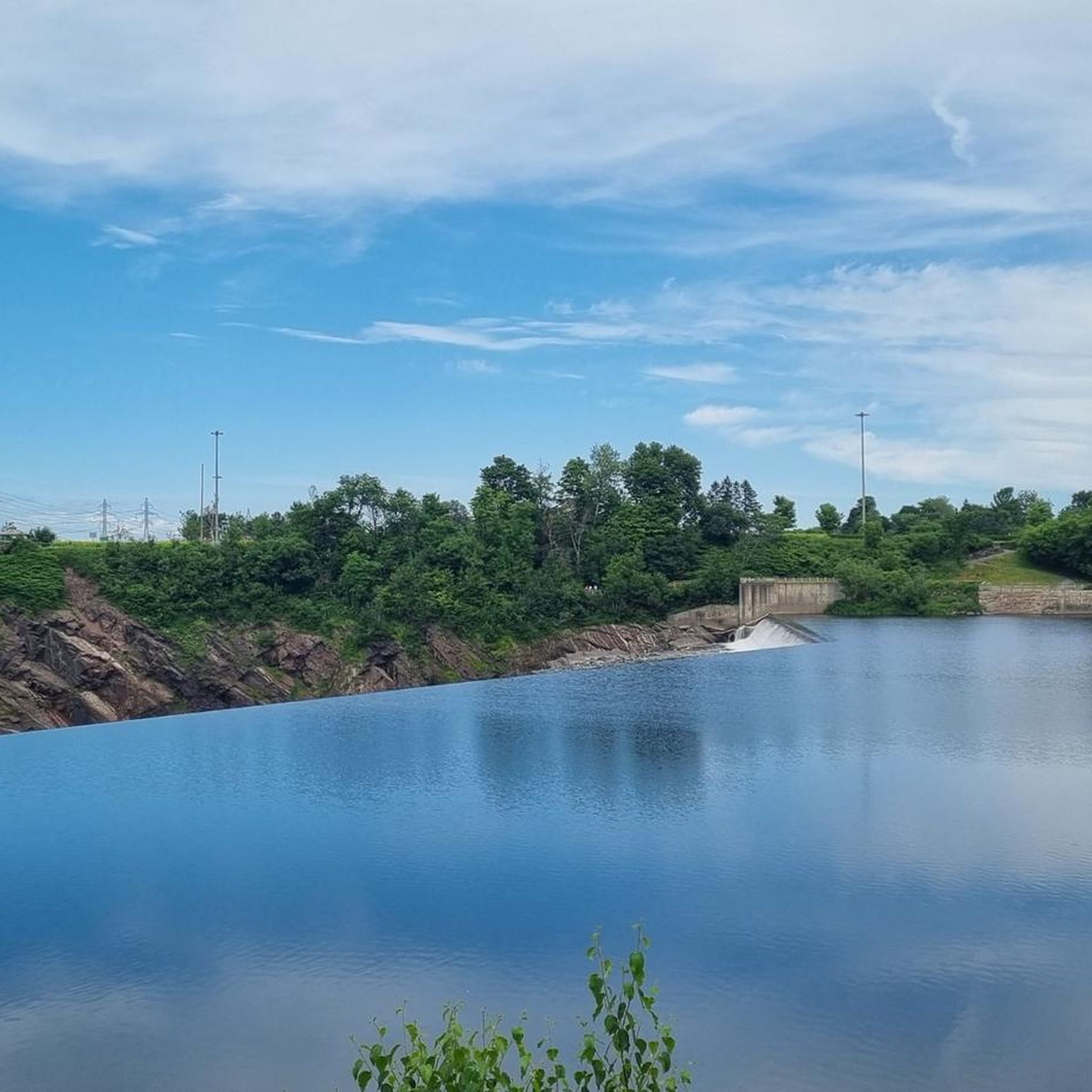
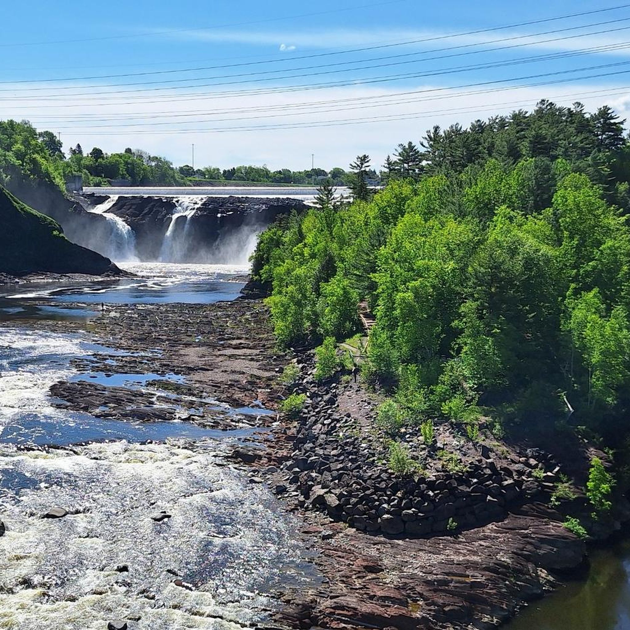
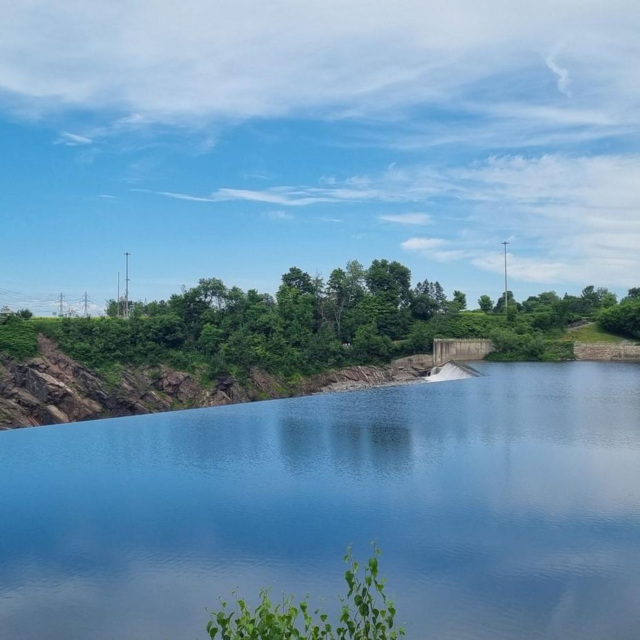
Yes, a major highlight is the breathtaking Chaudière Falls. You can experience them up close on trails like the View of Chute de la Chaudière loop from Charny, which offers views of the 35-meter-high falls and includes a suspension bridge crossing. The Parc des Chutes-de-la-Chaudière also features several lookouts for spectacular views.
What kind of landmarks or viewpoints can I expect to see on Lévis trails?
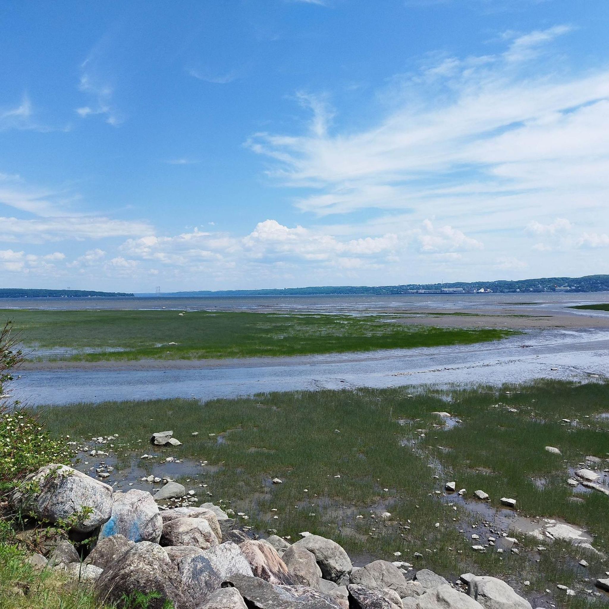
Many trails in Lévis offer picturesque views of the St. Lawrence River, often including panoramic vistas of Old Québec City across the water. For example, the Parcours des Anses provides intimate river views. Additionally, Parc Valéro Les Écarts offers extensive panoramic views stretching over 40 kilometers, showcasing the transition from the Laurentians to the Appalachians. Don't miss the Château Frontenac and Dufferin Terrace visible from across the river.
Are there family-friendly hiking options in Lévis?
Absolutely. Lévis offers numerous easy trails suitable for families. The View of Chute de la Chaudière loop from Charny is an easy 3.5 km path that takes about an hour, perfect for a family outing. Parc des Chutes-de-la-Chaudière itself has approximately 4.3 km of trails, many of which are easy and well-maintained. Overall, over 29 easy routes are available in the region.
Can I bring my dog on the hiking trails in Lévis?
Yes, several parks in Lévis are dog-friendly. Parc des Chutes-de-la-Chaudière, Parc de la Pointe-De la Martinière, and Les Sentiers La Balade de Lévis welcome leashed dogs on their trails, allowing your furry friends to join your outdoor adventures.
Are there any circular hiking routes in Lévis?
Yes, Lévis features several enjoyable circular routes. The Rivière des Couture loop from Lévis (quartier) is an easy 4.4 km trail through a tranquil river valley. Another option is the Baie St-Nicolas loop from Charny, a 5.1 km trail offering varied landscapes.
How can I reach the hiking trails in Lévis using public transport?
Public transportation is available to several key hiking areas. The STLévis bus routes can take you to popular spots like Parc des Chutes-de-la-Chaudière, Parc linéaire Le Grand Tronc, and Parc Valéro Les Écarts. For specific routes and schedules, it's best to consult the STLévis website directly.
Is parking available at the trailheads in Lévis?
Yes, parking is generally available at the major parks and trailheads in Lévis. For instance, parking is free at Parc des Chutes-de-la-Chaudière, making it convenient for visitors. Other parks like Parc linéaire Le Grand Tronc and Parc Valéro Les Écarts also offer parking facilities.
What is the best time of year to go hiking in Lévis?
Lévis offers great hiking opportunities throughout the year. Spring and fall provide pleasant temperatures and beautiful scenery, with autumn showcasing vibrant foliage. Summer is ideal for enjoying the riverfront paths and waterfalls. Even winter offers possibilities for snowshoeing and cross-country skiing in parks like Parc de la Rivière-Etchemin.
What is the general terrain like on Lévis hiking trails?
The terrain in Lévis is quite diverse, ranging from paved multi-purpose paths along the St. Lawrence River to more natural, wooded trails within urban parks and river valleys. You'll find relatively flat sections, especially on former railway lines like Parc linéaire Le Grand Tronc, as well as some moderate elevation changes, particularly around the Chaudière Falls area.
How many hiking trails are there in Lévis, and what are their difficulty levels?
There are over 40 hiking trails in Lévis. The network caters to various ability levels, with more than 29 easy routes, 10 moderate trails, and a few more challenging options. This variety ensures there's a suitable path for almost every hiker.
What do other hikers enjoy most about the trails in Lévis?
The trails in Lévis are highly rated by the komoot community, with an average score of 4.6 stars from over 150 reviews. Hikers frequently praise the stunning riverfront views, the impressive Chaudière Falls, and the well-maintained paths that offer a blend of urban accessibility and natural beauty.
Are there cafes or places to eat near the hiking trails in Lévis?
Yes, you'll find various cafes and dining options, especially near the more urban parks and accessible trailheads. Areas around Parc des Chutes-de-la-Chaudière and the Lévis ferry terminal (which connects to the Parcours des Anses) offer choices for refreshments and meals after your hike.
Most popular attractions around Lévis

Get inspired with the komoot mobile app


Explore more
Browse the best Hikes in other regions.
