The best running trails around Völkermarkter Stausee
4.2
(223)
5,047
runners
227
runs
Jogging routes around Völkermarkter Stausee offer diverse terrain along the expansive reservoir, which is approximately 21 kilometers long. The region features varied shorelines, the green Drau River, and is framed by surrounding mountain panoramas. Paths are generally accessible, providing opportunities to explore the natural features of Southern Carinthia. The area includes both flat sections along the water and routes with moderate elevation changes.
Best jogging routes around Völkermarkter Stausee
- The most popular jogging route is View of Völkermarkter Stausee loop…
Last updated: September 29, 2026
3.0
(1)
31
runners
10.2km
01:04
70m
70m
Moderate run. Good fitness required. Mostly paved surfaces. Suitable for all skill levels.
5.0
(1)
12
runners
Hard run. Very good fitness required. Mostly paved surfaces. Suitable for all skill levels.

12
runners
Hard run. Very good fitness required. Mostly paved surfaces. Suitable for all skill levels.
5.0
(1)
10
runners
14.5km
01:33
220m
210m
Moderate run. Good fitness required. Mostly paved surfaces. Suitable for all skill levels.
12
runners
15.8km
01:39
110m
110m
Hard run. Very good fitness required. Mostly paved surfaces. Suitable for all skill levels.
Get access to more routes and recommendations from other explorers.
Already have an account?
Our route recommendations are based on thousands of hikes, rides, and runs completed by other people on komoot.
Start today with a free account
Your next adventure awaits.

Other adventures around Völkermarkter Stausee

Tips from the Community

The fishing area of the municipality of Völkermarkt is located on the left bank of the Völkermarkt reservoir and has a total length of 12,440 m. The fishing water extends from the Drau bridge 3 km upstream towards Tainach and after the dam wall towards Lavamünd to the mouth of the Lorenzibach
3
0
This rest area no longer exists. It was washed away in the 2023 storm. It has been redesigned.
1
0
The Drau cycle path is open again. All storm damage has been cleaned up and the path is passable again. Thanks to the community
2
0

Völkermarkt a detour to eat or an ice cream is always inside.
0
0

...a well-developed bike path 🚴🏻♀️
1
0
Deserted - that's how I love it 🥰
2
0

Great cycle path that is suitable for the whole family. Very nice route through a landscape worth seeing.
1
0
A beautiful city with an even more beautiful main square
2
0
Frequently Asked Questions
Are there running routes suitable for beginners around Völkermarkter Stausee?
Yes, the region offers a good selection of easier running paths. Out of over 240 routes, approximately 22 are classified as easy, featuring generally flatter terrain along the reservoir's varied shorelines. These are perfect for those new to running or looking for a relaxed jog.
What kind of challenges can advanced runners expect at Völkermarkter Stausee?
Advanced runners will find plenty of challenging options, with about 36 routes classified as difficult. These routes often feature more significant elevation changes and longer distances. For example, the Tainach Bridge over the Drava – View of Völkermarkter Stausee loop from Kleinsee is an 11.1-mile (17.9 km) path with notable elevation, providing a good test of endurance.
Are there circular running paths available around Völkermarkter Stausee?
Absolutely. Many of the running routes around Völkermarkter Stausee are designed as loops, allowing you to start and finish at the same point. A popular example is the View of Völkermarkter Stausee loop from Tainach, which offers scenic views over approximately 6.4 miles (10.2 km).
What natural features or landmarks will I encounter on the jogging trails?
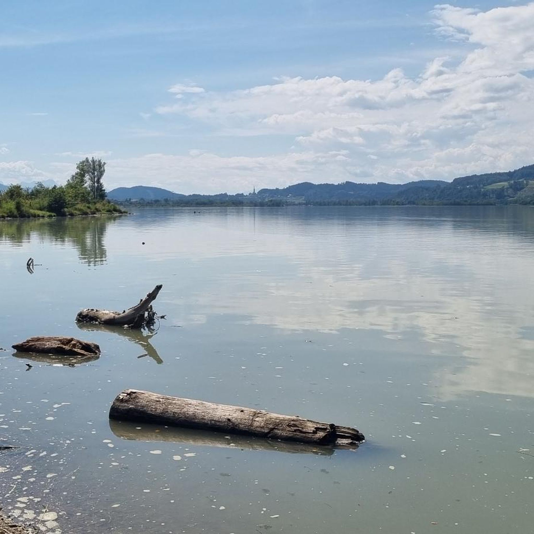
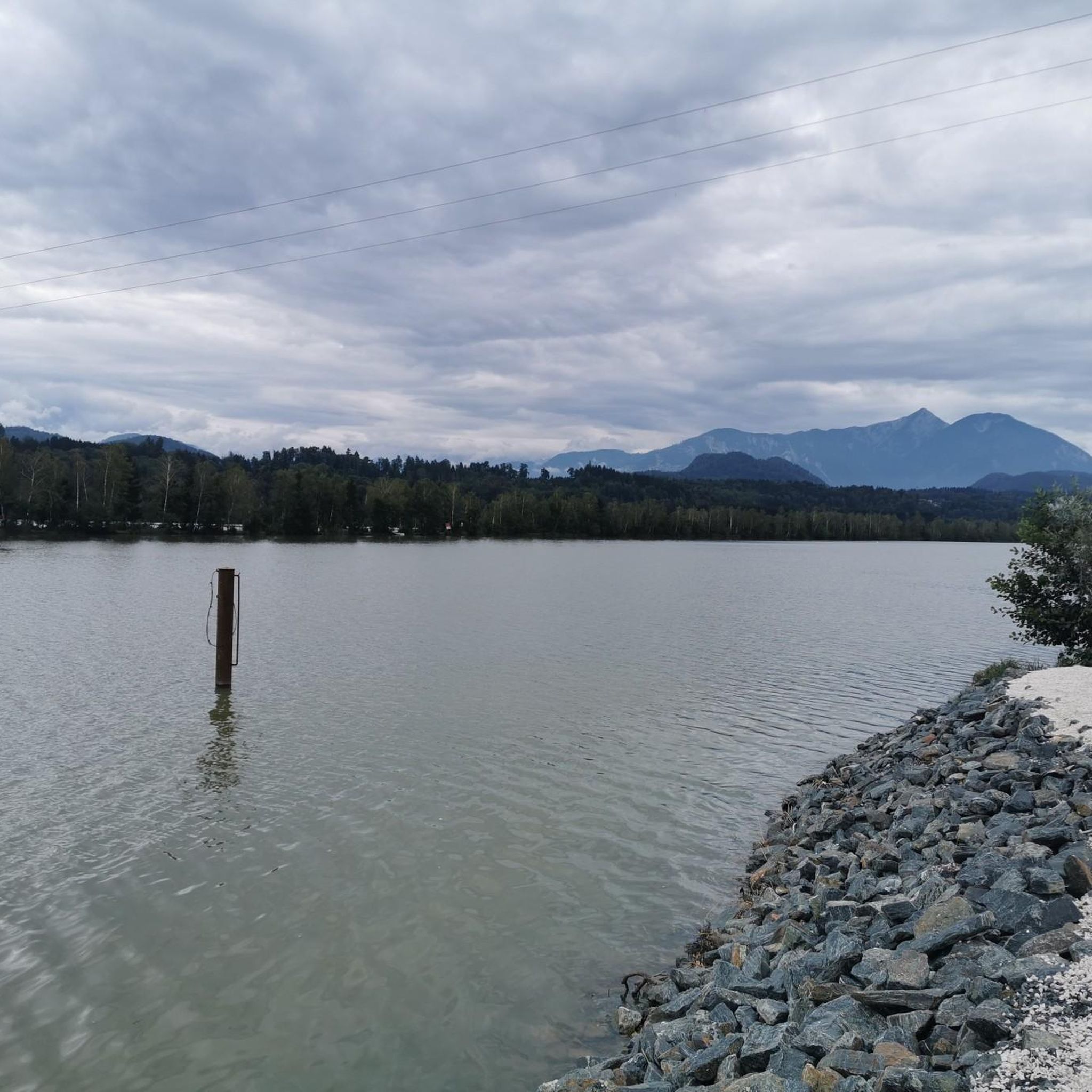
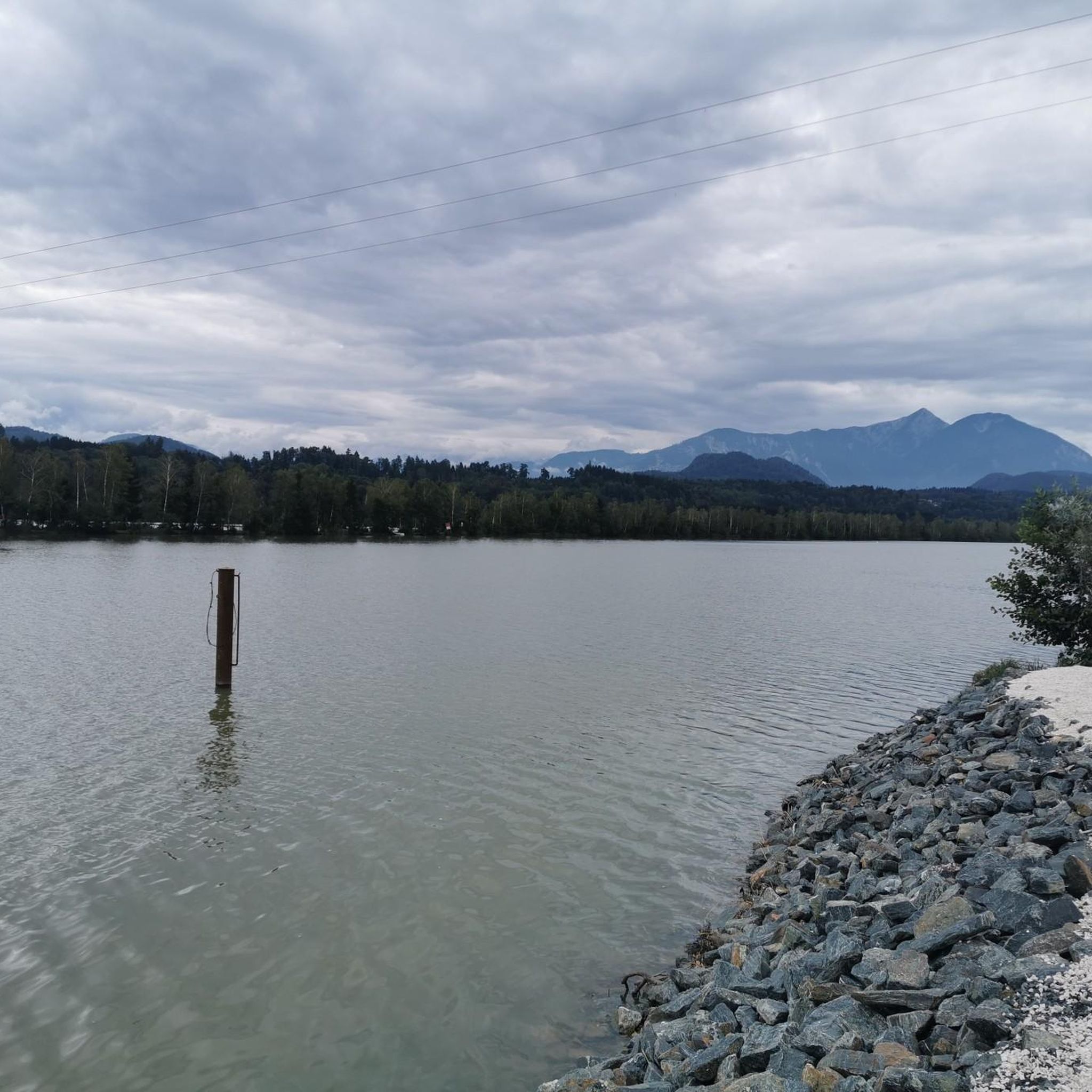
The running routes offer diverse scenery. You'll experience the expansive water body of the reservoir, the green Drau River, and impressive mountain panoramas, including views of the Karawanken. Notable landmarks include the Völkermarkt reservoir bridge, which is illuminated at night, and the Drau Reservoir Path at Völkermarkt. The area is also a recognized bird sanctuary, and you might even spot beavers along the Drau.
Can I bring my dog on the running routes around Völkermarkter Stausee?
Yes, many of the trails around Völkermarkter Stausee are suitable for running with dogs. The varied shorelines and natural paths provide an excellent environment for you and your canine companion. However, always ensure your dog is on a leash and that you follow local regulations, especially in nature reserve areas.
Are there any family-friendly jogging routes in the Völkermarkter Stausee area?
Yes, the region offers several easy and accessible paths that are great for families. These routes often feature gentle gradients and well-maintained surfaces, making them suitable for a leisurely family jog or walk. The Lilienberg Recreation Area near Völkermarkt, for instance, is specifically designed with various routes for walking and jogging, promoting health and fitness for all ages.
Is parking available near the running trails at Völkermarkter Stausee?
Yes, there are various accessible paths and resting spots around the lake, and parking facilities are generally available in key areas. It's advisable to check specific route details on komoot for recommended starting points and parking options closest to your chosen trail.
How accessible are the jogging routes by public transport?
The Völkermarkter Stausee region has public transport connections, making some trailheads accessible without a car. While specific public transport details for each route vary, the area is generally well-connected within Southern Carinthia. We recommend checking local bus schedules for the most convenient access points.
What do other runners enjoy most about jogging in Völkermarkter Stausee?
The running routes around Völkermarkter Stausee are highly rated by the komoot community, with an average score of 4.3 stars from over 180 reviews. Runners frequently praise the diverse terrain, the stunning views of the reservoir and surrounding mountains, and the well-maintained paths that cater to various fitness levels. The combination of natural beauty and varied landscapes is often highlighted as a favorite aspect.
Are there places to eat or drink near the running routes?
Yes, you'll find options for refreshments. The Völkermarkt Harbor area is mentioned as a place with dining options. Additionally, various resting spots and communities along the reservoir may offer cafes or restaurants where you can refuel after your run.
Can I swim in Völkermarkter Stausee after a run?
While the Drau River, which feeds the reservoir, is known for its good water quality, swimming in Völkermarkter Stausee itself is not popular. This is primarily due to currents and cooler water temperatures, which typically only reach about 18°C in summer. The reservoir is more commonly used for activities like rowing, angling, and paddling.
What is the typical length of running routes in this area?
The running routes around Völkermarkter Stausee vary significantly in length. You can find shorter, easy paths, but many popular routes range from moderate to long distances. For instance, the Völkermarkt reservoir bridge – Tainach Bridge over the Drava loop from Völkermarkt is a substantial 13.4 miles (21.6 km) trail, offering extensive running opportunities.
Most popular routes around Völkermarkter Stausee
Most popular attractions around Völkermarkter Stausee

Get inspired with the komoot mobile app


Explore more
Browse the best Running Trails & Routes in other regions.
