The best walks and hikes around Crassier
4.4
(1272)
10,641
hikers
13
hikes
Hiking around Crassier offers access to a landscape characterized by gentle rolling hills, open countryside, and proximity to Lake Divonne. The terrain generally features low elevation gains, making many routes accessible. Paths often traverse agricultural areas and connect small villages, providing a mix of natural and cultural scenery.
Best hiking trails around Crassier
- The most popular hiking route is East Side of Lake Divonne – Lac de Divonne loop from Crassier, a 4.7 miles (7.6 km) trail that takes…
Last updated: July 2, 2026
5.0
(2)
32
hikers
7.63km
01:56
10m
20m
Easy hike. Great for any fitness level. Easily-accessible paths. Suitable for all skill levels.
20
hikers
6.20km
01:36
30m
30m
Easy hike. Great for any fitness level. Easily-accessible paths. Suitable for all skill levels.

Sign up for free
9
hikers
15.4km
04:05
150m
150m
Moderate hike. Good fitness required. Easily-accessible paths. Suitable for all skill levels.
9
hikers
3.38km
00:53
30m
30m
Easy hike. Great for any fitness level. Easily-accessible paths. Suitable for all skill levels.
3
hikers
8.76km
02:17
60m
60m
Moderate hike. Good fitness required. Easily-accessible paths. Suitable for all skill levels.
Get access to more routes and recommendations from other explorers.
Sign up for free
Already have an account?
Our route recommendations are based on thousands of hikes, rides, and runs completed by other people on komoot.
Start today with a free account
Your next adventure awaits.
Login or Signup
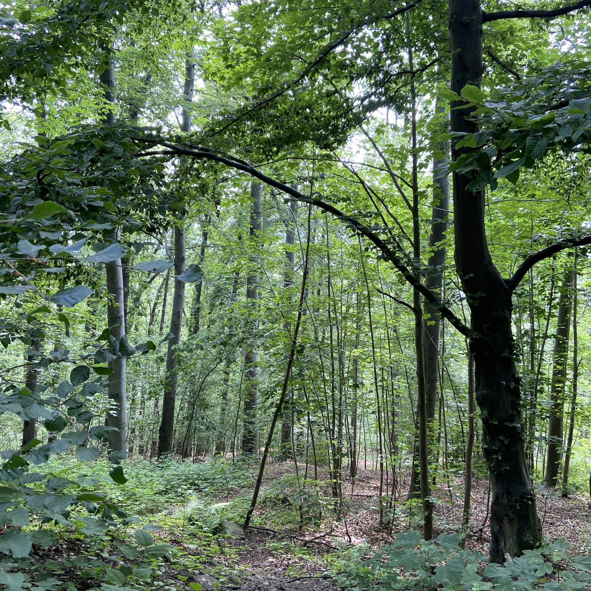
Tips from the Community

beautiful recreational lake for walking, cycling, swimming, picnicking
1
0

Cars are not allowed along this road so it feels safer. You may find small stones, tractors, and dog walkers, so slow down and pass them safely.
0
0


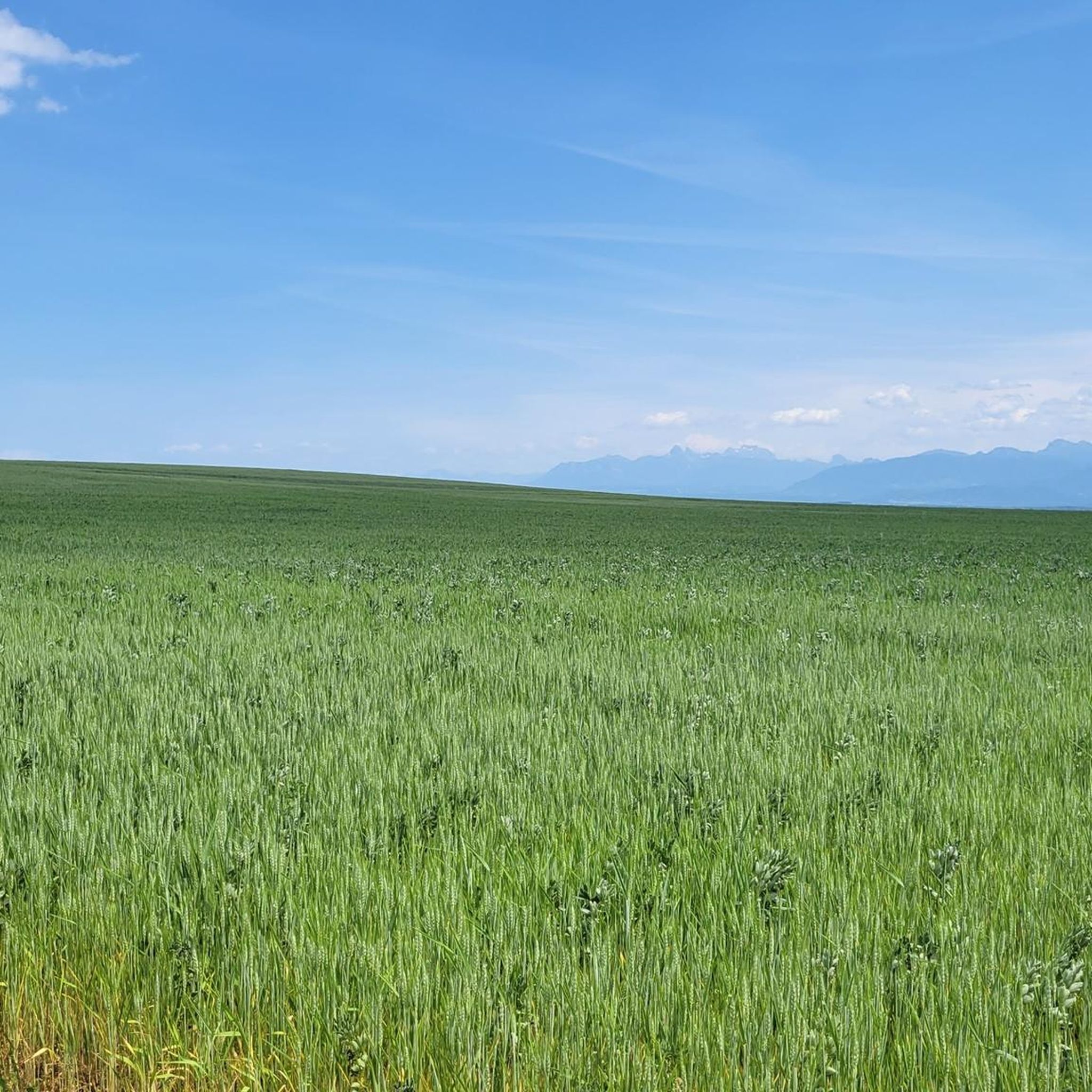
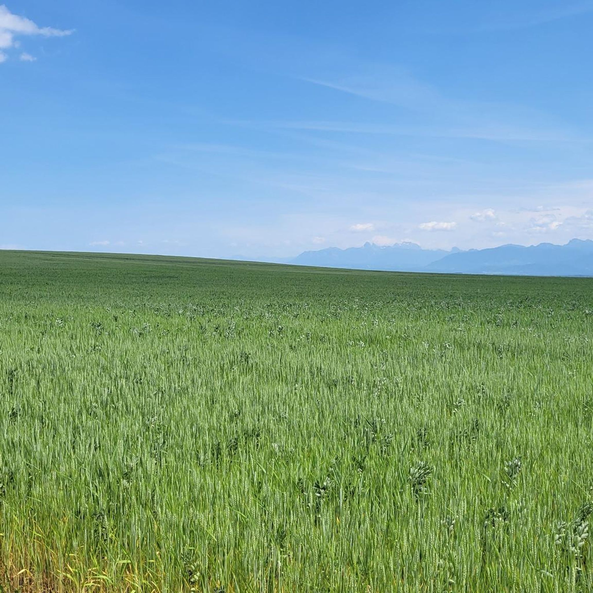
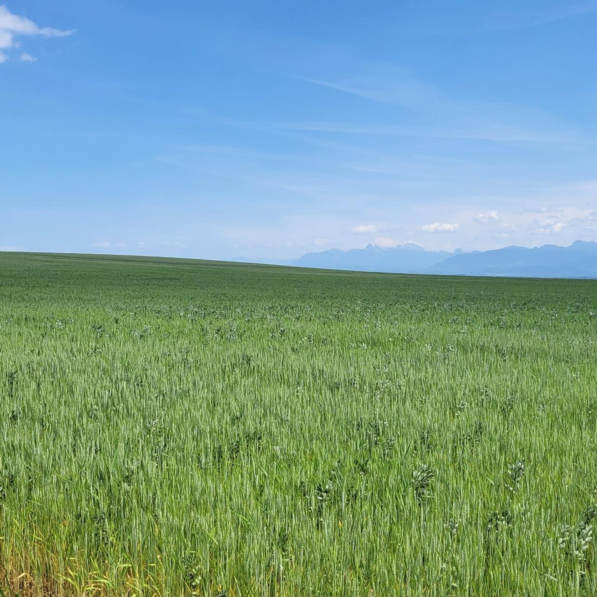
Quiet asphalt road with wide views of the surrounding meadows, fields and mountains near Borex.
1
0

Last drinking water fountain before the climb of the Baudichonne
1
0

Nice small and quiet agricultural road. Allows to avoid the busy main road between Chéserex and Tranchepied
0
0
The still waters of the lake are tempting for a quick dip. Its shores can get crowded on weekends and public holidays.
1
0
Frequently Asked Questions
What types of hiking trails can I expect around Crassier?
Hiking around Crassier features a mix of gentle rolling hills, open countryside, and paths near Lake Divonne. You'll find routes traversing agricultural areas and connecting small villages, offering both natural and cultural scenery. The terrain generally has low elevation gains, making many routes accessible for various fitness levels.
Are there many easy hiking trails in the Crassier area?
Yes, the Crassier area is well-suited for easy hikes. Out of the 12 available routes, 10 are classified as easy. An example is the Ferme de Montelly loop from Crassier, which is a short 3.4 km (53 min) walk.
What are the typical distances and durations for hikes around Crassier?
Hikes in Crassier vary in length and duration. You can find shorter, easy walks like the Weeping Willow Tree – Chemin de Borex loop from Borex, which is 6.2 km (1 hour 35 minutes). For a longer, moderate option, consider the Signy Village Chapel – Temple of Crassier loop from Crassier, spanning 15.4 km (4 hours 4 minutes).
Are there any circular walks available in the Crassier area?
Yes, many of the routes around Crassier are circular, allowing you to start and end at the same point. For instance, the popular East Side of Lake Divonne – Lac de Divonne loop from Crassier is a 7.6 km circular trail along the lake shore.
What kind of natural attractions or landmarks can I see while hiking near Crassier?
While hiking near Crassier, you're close to several natural highlights. You might encounter views of La Dôle Summit or Mount Mourex. The Versoix River is also nearby, and for nature enthusiasts, the Les Douves Nature Reserve offers a chance to explore protected landscapes.
Is Crassier a good destination for family-friendly walks?
Given the prevalence of easy routes and low elevation gains, Crassier is generally suitable for family-friendly walks. Many paths traverse open countryside and connect small villages, offering pleasant and manageable outings for all ages. The shorter, easy loops are particularly good for families.
What is the best time of year to go hiking around Crassier?
The gentle terrain and varied landscapes of Crassier make it enjoyable for hiking across multiple seasons. Spring and autumn offer pleasant temperatures and beautiful scenery with blooming flowers or changing leaves. Summer is also good, especially for lakeside paths, while some routes may be accessible for winter walks, depending on snow conditions.
What do other hikers enjoy most about the trails in Crassier?
The hiking routes in Crassier are highly rated by the komoot community, with an average score of 4.4 stars from over 1,100 reviews. Hikers often praise the accessible nature of the trails, the mix of open countryside and village paths, and the proximity to Lake Divonne, which offers scenic views.
Are there any historical sites or points of interest along the hiking trails?
Yes, some trails incorporate historical sites. For example, the Signy Village Chapel – Temple of Crassier loop from Crassier leads through village paths and past historical sites, including the Temple of Crassier itself, offering a blend of nature and local heritage.
Is public transport available to access hiking trails in Crassier?
Crassier is a small village, and while local bus services might connect it to larger towns, direct public transport access to specific trailheads can be limited. It's advisable to check local bus schedules for connections from nearby larger hubs like Nyon or Divonne-les-Bains if you plan to rely on public transport.
Where can I find parking for hiking trails in Crassier?
Parking availability in Crassier typically includes public parking areas within the village itself. For specific trailheads, it's often possible to find roadside parking or small designated areas near the start of popular routes. Always check local signage for any restrictions.
Most popular routes around Crassier
Most popular attractions around Crassier

Get inspired with the komoot mobile app


Explore more
Browse the best Hikes in other regions.
