The best walks and hikes around Creglingen
4.5
(5743)
24,172
hikers
157
hikes
Hiking trails around Creglingen traverse the picturesque Tauber Valley, characterized by rolling hills, expansive vineyards, meadows, and forests. The region is situated at the edge of the Frankenhöhe Nature Park, offering diverse natural features and varied terrain. Elevations range from approximately 230 to 500 meters above sea level, providing a mix of gentle paths and moderate climbs. Numerous biotopes contribute to the area's rich biodiversity, making it suitable for outdoor exploration.
Best hiking trails around Creglingen
- The most popular hiking…
Last updated: June 29, 2026
4.5
(18)
77
hikers
14.9km
04:05
220m
220m
Moderate hike. Good fitness required. Easily-accessible paths. Suitable for all skill levels.
4.6
(21)
72
hikers
Moderate hike. Good fitness required. Easily-accessible paths. Suitable for all skill levels.

Sign up for free
4.4
(17)
62
hikers
9.51km
02:36
150m
150m
Moderate hike. Good fitness required. Easily-accessible paths. Suitable for all skill levels.
4.7
(19)
57
hikers
11.7km
03:17
240m
240m
Moderate hike. Good fitness required. Easily-accessible paths. Suitable for all skill levels.
4.4
(9)
39
hikers
16.0km
04:28
300m
300m
Moderate hike. Good fitness required. Easily-accessible paths. Suitable for all skill levels.
Get access to more routes and recommendations from other explorers.
Sign up for free
Already have an account?
Our route recommendations are based on thousands of hikes, rides, and runs completed by other people on komoot.
Start today with a free account
Your next adventure awaits.
Login or Signup
Popular around Creglingen

Main-Danube-Lake Constance Trail – Along iconic waters

The Romantic Road – To the Pearls of Southern Germany
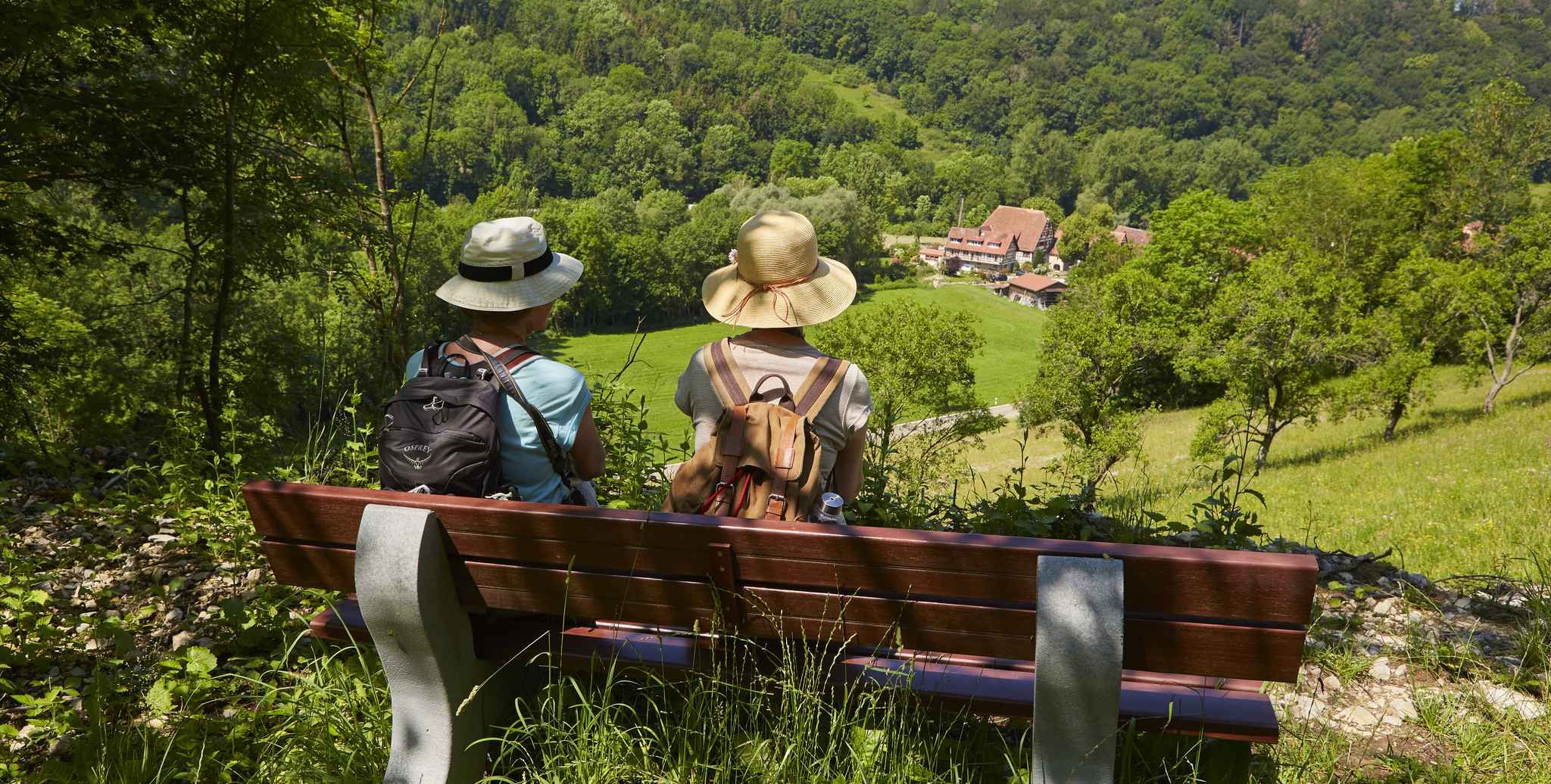
Gentle hills & wide forests – day Tours in the Lovely Tauber Valley
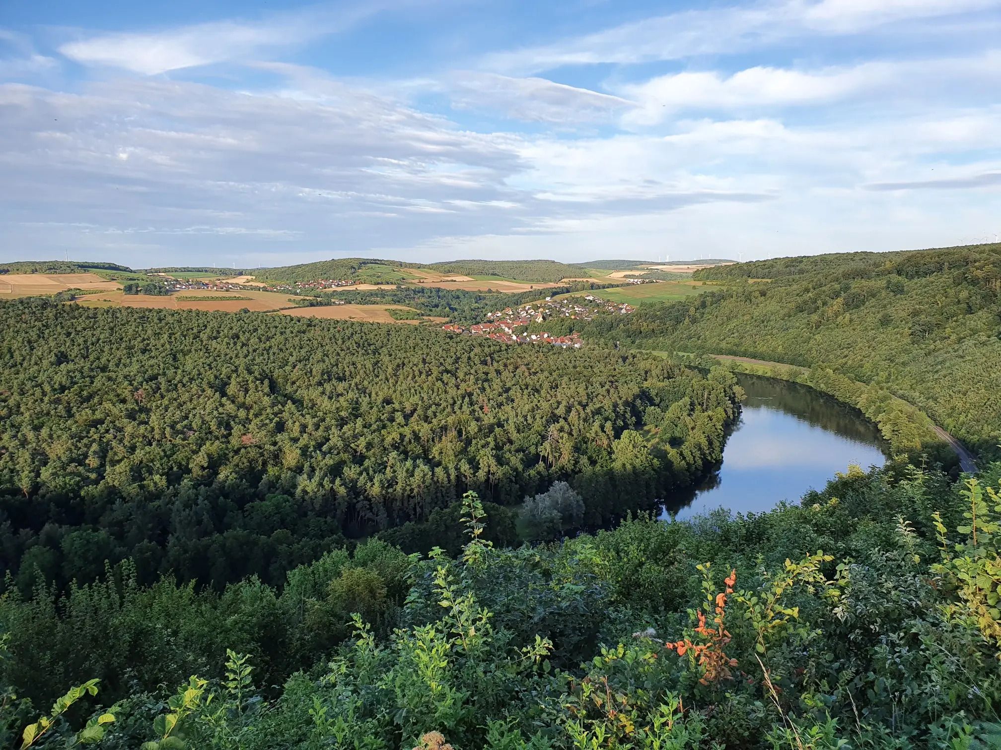
Jakobswanderweg Odenwald-Main-Taubertal
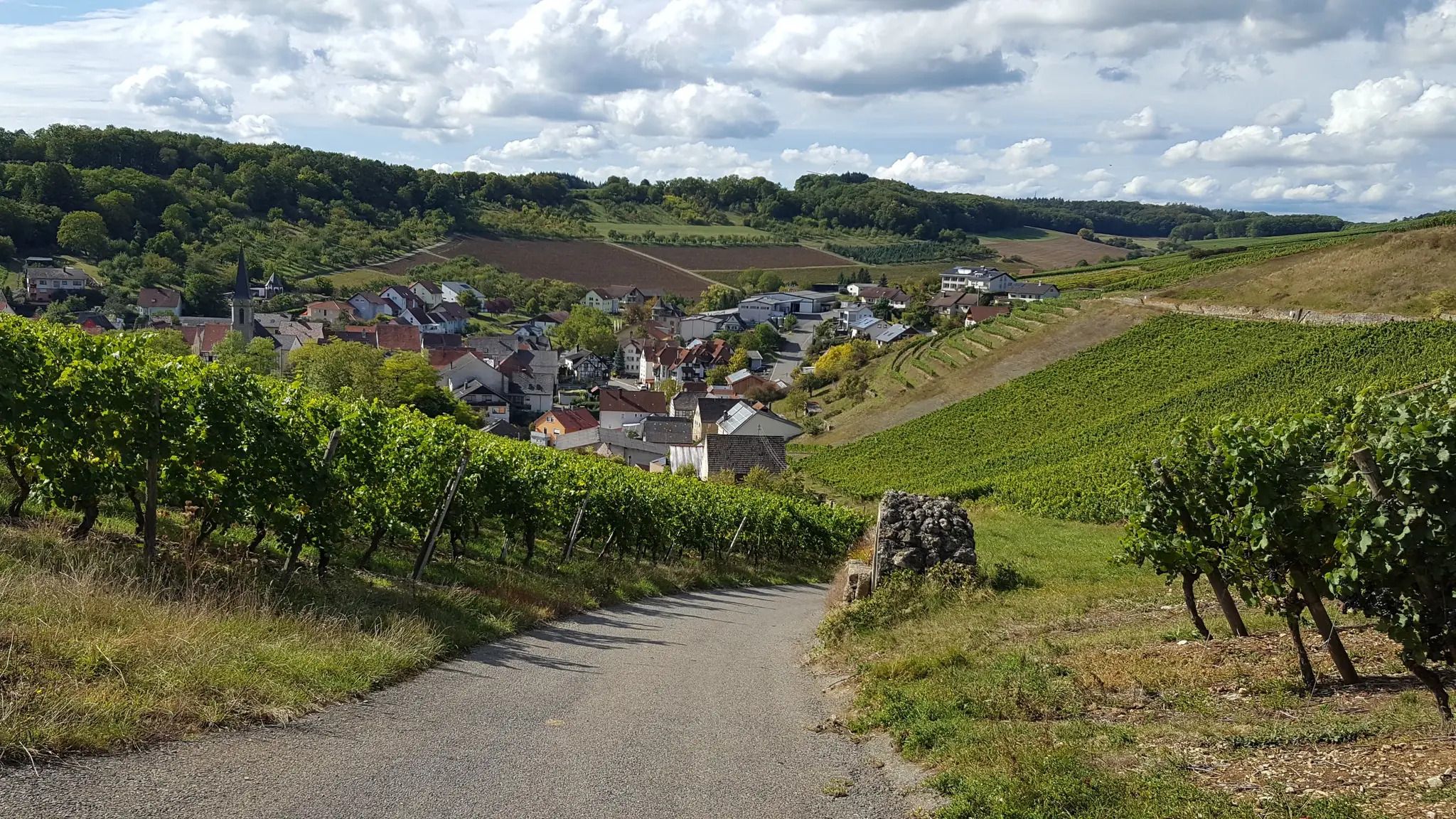
On the panoramic trail through the Tauber Valley
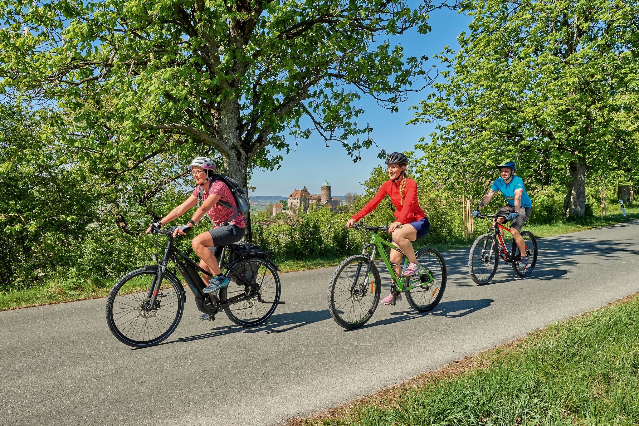
Sustainable cycling holidays — e-bike Tours through Franconia
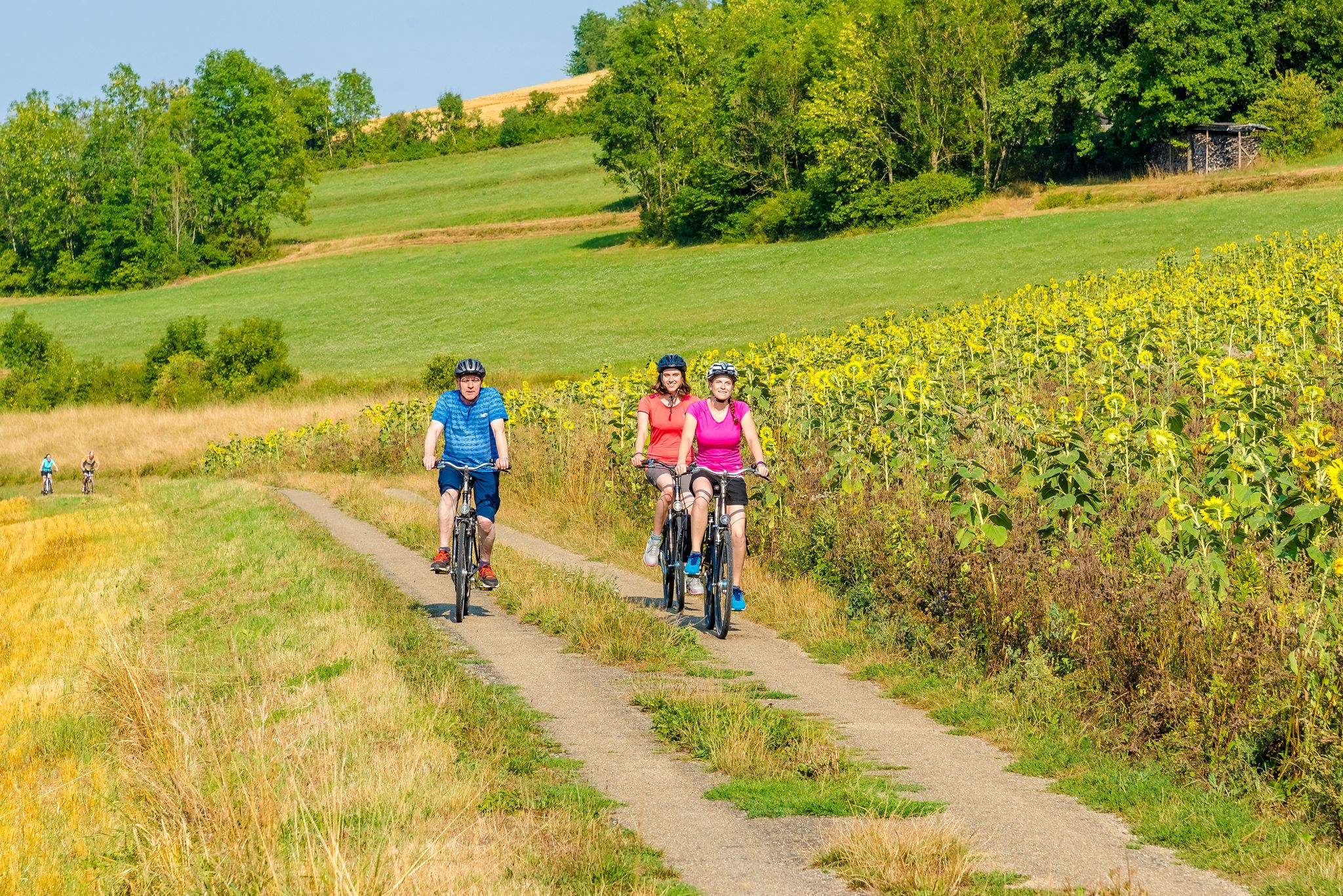
Cycling through the Tauber Valley – Germany’s prettiest countryside
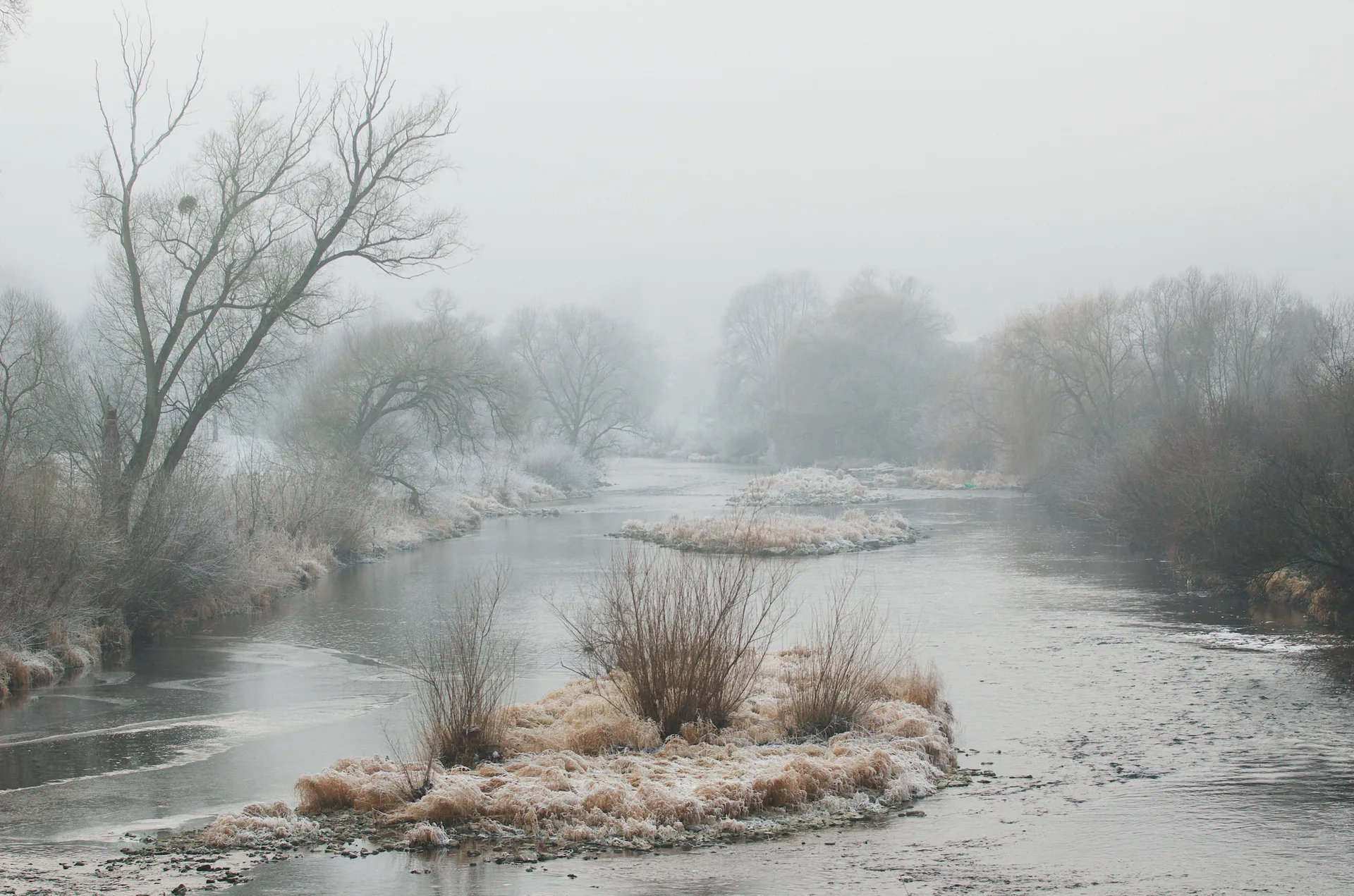
Achtsam durch den Winter – Stille erleben in Hohenlohe und Taubertal
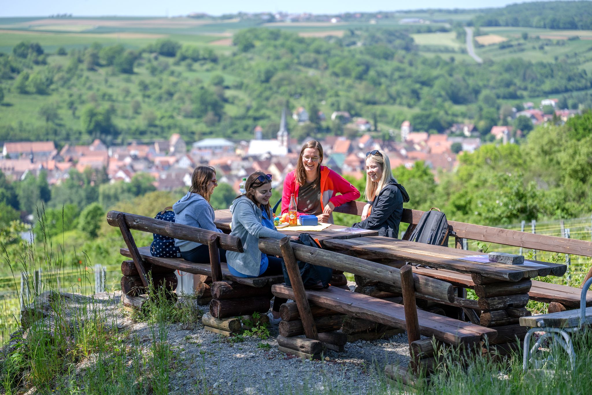
29 Rundwanderwege durch die Ferienlandschaft „Liebliches Taubertal“
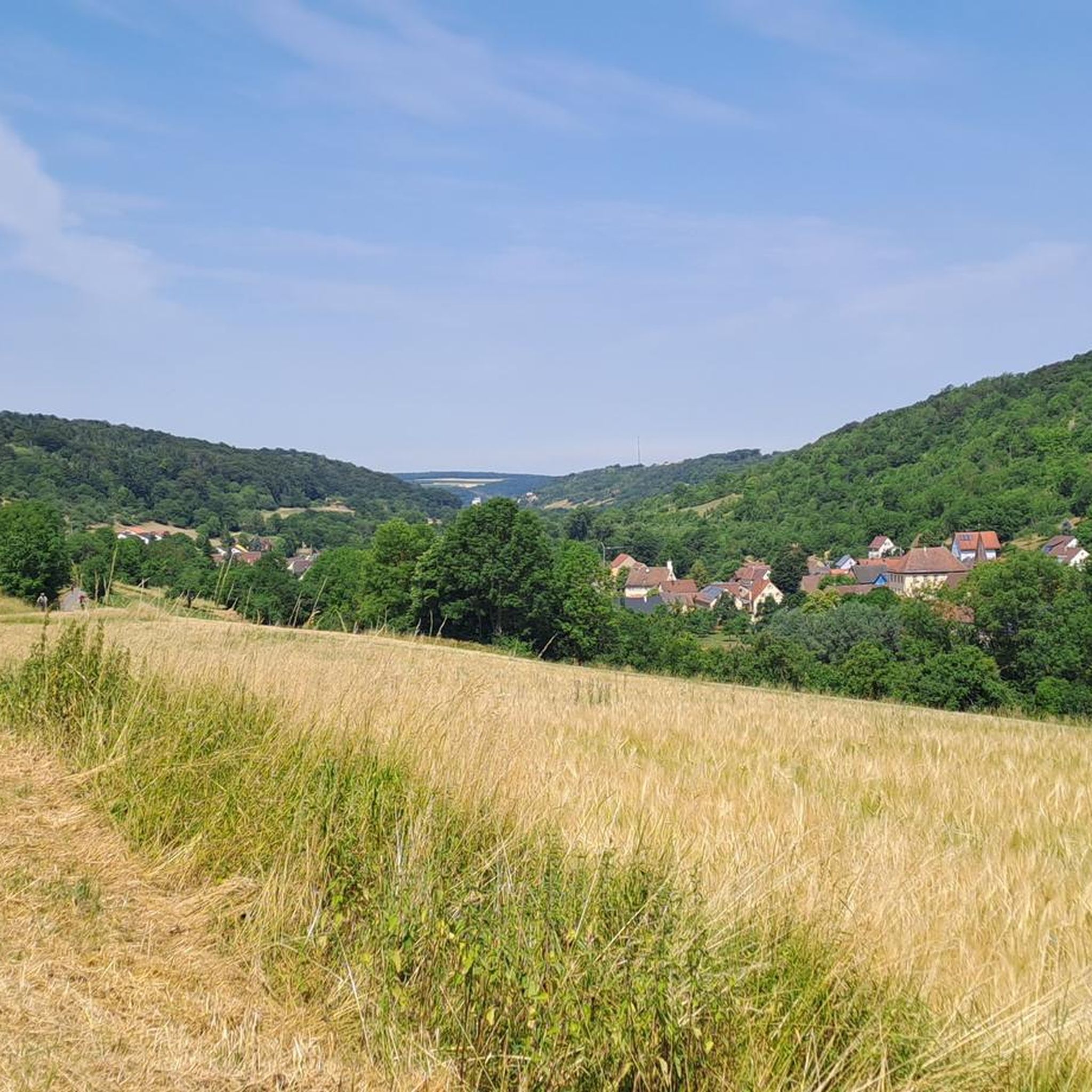
Cycling around Creglingen
Other adventures around Creglingen


Tips from the Community

Unfortunately it was closed. Tours only for groups
0
0

I love this valley and love driving here
0
0

As we crossed the bridge in the spring, a family of geese swam beneath it. That, of course, was our favorite part of the experience.
0
0

Seldeneck Castle was first mentioned in writing in 1265. In 1408, during Rothenburg's feud with the Burgrave of Nuremberg, it was destroyed, along with several other castles belonging to Rothenburg. However, it was mentioned several times later in writings.
8
0

Nice ford, carries relatively a lot of water in the bad season!
0
0
Picturesque corner with the old bridge over the rushing stream
1
0

Frequently Asked Questions
How many hiking trails are available around Creglingen?
Creglingen offers a wide selection of hiking opportunities, with nearly 150 trails to explore. These routes cater to various preferences, including 62 easy, 79 moderate, and 6 more challenging options.
Are there easy hiking trails suitable for families or beginners?
Yes, Creglingen has 62 easy hiking trails perfect for families or those seeking a relaxed walk. A great option is the Celtic Rampart Trail loop from Oppidum Finsterlohr, which is 2.6 miles (4.2 km) long and takes about an hour to complete, leading through historical landscapes.
What kind of landscapes can I expect to see while hiking in Creglingen?
Hiking in Creglingen offers diverse landscapes, from the idyllic Tauber Valley with its river views to rolling hills, expansive vineyards, meadows, and dense forests. The region is also on the edge of the Frankenhöhe Nature Park, ensuring well-preserved natural areas and numerous biotopes rich in biodiversity.
Are there circular hiking routes in the Creglingen area?
Yes, many trails in Creglingen are circular, allowing you to start and end at the same point. A notable example is the Circular hiking trail LT 27 Hasennestle and Celtic Oppidum, a moderate 9.3-mile (14.9 km) route that takes about 4 hours and leads to the remains of a significant Celtic settlement.
What historical or cultural sights can I explore while hiking?
Creglingen's trails often weave through rich history. You can visit the famous Herrgottskirche, known for Tilman Riemenschneider's 'Marienaltar,' or explore the remains of a significant Celtic settlement, one of the largest north of the Alps, along routes like the Circular hiking trail LT 27 Hasennestle and Celtic Oppidum. The Rundwanderweg LT 28 also connects to cultural highlights related to Tilman Riemenschneider.
What is the best time of year to go hiking in Creglingen?
The Tauber Valley and surrounding areas are beautiful year-round. Spring brings blooming meadows and vineyards, while summer offers lush greenery. Autumn is particularly scenic with vibrant fall foliage across the hills and vineyards. Even winter can be charming for a crisp walk, though some services might be limited.
Are there any trails that offer great viewpoints?
Absolutely. The region's rolling hills and the Tauber Valley provide numerous panoramic views. Many routes, including the multi-stage Panoramaweg Taubertal, offer marvelous vistas over vineyards and the river. Look for highlights like the Beautiful view of the Tauber Valley and the cycle path for stunning photo opportunities.
Can I find places to eat or rest along the hiking trails?
Yes, Creglingen's historic town center offers charming spots for refreshments. Along longer routes, you might encounter local inns or designated rest areas. There are also several huts and shelters, such as the Nonnenwald Hut or the Klosterwald Hut, which can serve as good resting points.
What do other hikers enjoy most about the trails in Creglingen?
The trails in Creglingen are highly rated by the komoot community, with an average score of 4.6 stars from over 350 reviews. Hikers frequently praise the diverse landscapes, the well-maintained paths, and the seamless blend of natural beauty with historical and cultural attractions.
Are there any challenging hikes for experienced hikers?
While Creglingen is known for its moderate and easy trails, there are 6 routes classified as difficult for those seeking a greater challenge. These typically involve more significant elevation changes, with the region's terrain ranging from 230 to 500 meters above sea level, offering more demanding climbs and descents.
What natural features should I look out for on the trails?
Beyond the scenic Tauber River and its valley, keep an eye out for the numerous biotopes that contribute to the region's rich biodiversity. The Frankenhöhe Nature Park also ensures a variety of flora and fauna. You'll encounter diverse ecosystems, from dense forests to open meadows and unique geological formations.
How long do hikes typically take in Creglingen?
Hike durations vary widely depending on the route's length and difficulty. Easy trails like the Celtic Rampart Trail loop can be completed in just over an hour. Moderate routes, such as the Circular hiking trail LT 27, typically take around 4 hours, while longer or more challenging trails can extend to a full day of hiking.
Most popular routes around Creglingen
Most popular attractions around Creglingen

Get inspired with the komoot mobile app


Explore more
Browse the best Hikes in other regions.
