The best walks and hikes around Crémines
4.4
(450)
3,066
hikers
17
hikes
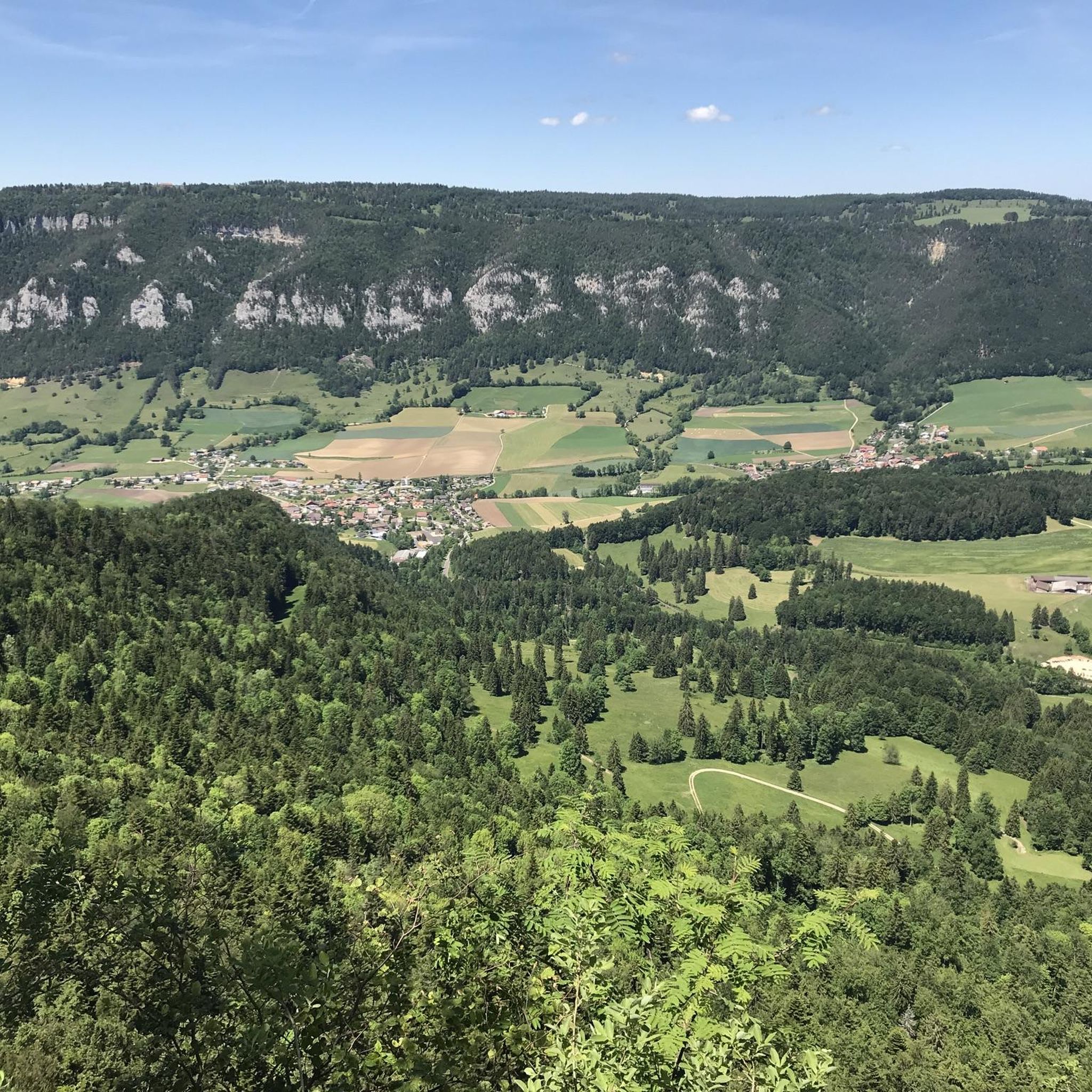
Hiking around Crémines offers diverse landscapes within the French-speaking Bernese Jura in Switzerland. The region is characterized by the Cornet valley, watered by the La Raus river, and bordered by the Raimeux, Graitery, and Maljon mountain ranges. Dense forests cover over 52% of the area, providing extensive shaded trails. The Raimeux mountain, with a peak of 1,248 meters, is a prominent feature, offering expansive views.
Best hiking trails around Crémines
- The most popular hiking route is Gore-Virat Schlucht – Das…
Last updated: October 10, 2026
4.7
(13)
52
hikers
6.87km
02:43
470m
450m
Moderate hike. Good fitness required. Mostly accessible paths. Sure-footedness required.
4.7
(22)
144
hikers
14.2km
05:03
720m
720m
Hard hike. Very good fitness required. Mostly accessible paths. Sure-footedness required.

4.5
(41)
223
hikers
17.8km
06:19
860m
860m
Hard hike. Very good fitness required. Mostly accessible paths. Sure-footedness required.
5.0
(3)
26
hikers
12.3km
04:34
730m
730m
Moderate hike. Good fitness required. Mostly accessible paths. Sure-footedness required.
3.0
(2)
10
hikers
10.8km
03:45
560m
560m
Moderate hike. Good fitness required. Easily-accessible paths. Suitable for all skill levels.
Get access to more routes and recommendations from other explorers.
Already have an account?
Our route recommendations are based on thousands of hikes, rides, and runs completed by other people on komoot.
Start today with a free account
Your next adventure awaits.

Other adventures around Crémines

Tips from the Community

pretty here, very pretty
0
0

Pure scrambling (T5) - airy at times but good grips = safe
0
0
pretty here, very pretty
3
0

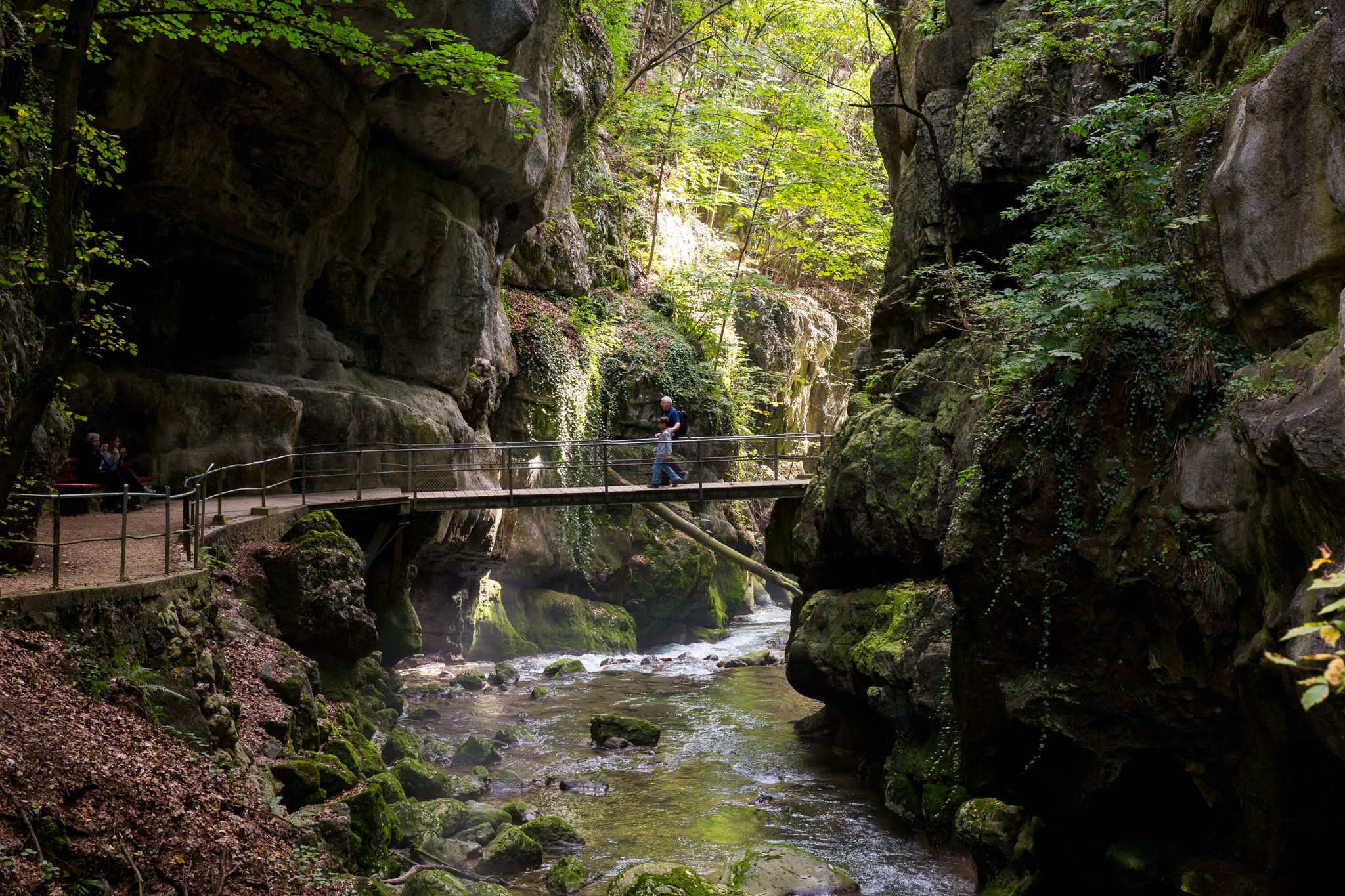
The flat and broad ridge of the 1,302-meter-high Mont Raimeux drops off suddenly and very steeply towards Grand Val. Despite the high rock faces, there are still many hiking trails, such as this one through the Gore Virat. Coming from above, you hike directly beneath the ridge and have a fantastic view of the overhanging rock formations.
2
0
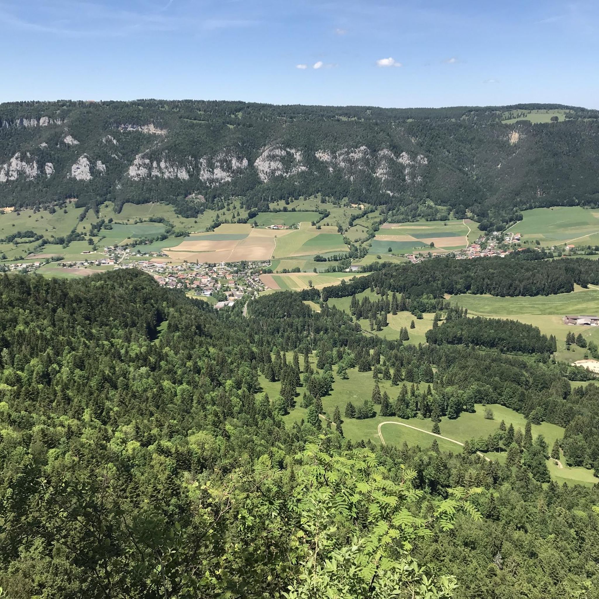
In an exposed location, there is a fantastic viewpoint overlooking the Grand Val. The very front point is secured with ropes, which is a good thing, as the drop below is quite steep. Behind it is a well-equipped fire pit with a bench and grill.
2
0

Stunning waterfalls, best seen on a day after it's rained. Be careful on the way up and especially on the way down if it's wet. It's best to return via the road.
0
0

The second-highest restaurant in the canton of Solothurn. The family-friendly Althüsli mountain restaurant, idyllically situated, invites you to linger. Christoph and Timna Räuftlin-Dorsman and their team pamper guests with hearty, hearty, and affordable cuisine.
2
0

Frequently Asked Questions
What types of landscapes can I expect to see while hiking around Crémines?
The region around Crémines is characterized by its diverse topography, including the picturesque Cornet valley, watered by the La Raus river. You'll find dense forests covering over 52% of the area, providing ample shaded trails, and prominent mountain ranges like Raimeux, Graitery, and Maljon. The Weissenstein and Hohe Winde Summit offer expansive views of the Alps, Vosges, and Black Forest on clear days.
Are there any hikes with waterfalls near Crémines?
Yes, the area features the scenic Gore Virat Waterfalls. A challenging route that incorporates these falls is the Gore Virat Waterfalls – Raimeux Observation Tower loop from Crémines, which also ascends to the Mont Raimeux Observation Tower and Viewpoint for panoramic vistas.
What are the difficulty levels of hiking trails in Crémines?
Hiking trails around Crémines cater to various skill levels. While there are no easy routes listed, you'll find 10 moderate trails and 7 difficult trails. Moderate paths are suitable for most hikers, while difficult routes, such as the Weissenstein – Hinterer Weissenstein loop from Gänsbrunnen, require very good fitness and sure-footedness.
Are there any family-friendly hiking options in the Crémines area?
While many trails are moderate to difficult, the region offers options for families. The Botanical Trail of Crémines, a 3km path near the village, is designed to be informative about local flora and fauna. Additionally, the Weissenstein area, though slightly further afield, has paths suitable for strollers and wheelchairs, along with well-equipped barbecue areas.
Can I find circular hiking routes around Crémines?
Yes, many of the hiking routes in the Crémines area are designed as loops, allowing you to start and end at the same point. Examples include the Gore Virat Waterfalls – Raimeux Observation Tower loop from Crémines and the Berggasthof Althüsli – Gänsbrunnen loop from Gänsbrunnen.
What do other hikers enjoy most about the trails in Crémines?
The hiking routes in Crémines are highly rated by the komoot community, with an average score of 4.4 stars from over 370 reviews. Hikers often praise the diverse terrain, the scenic beauty of the valleys and dense woodlands, and the challenging ascents that lead to rewarding panoramic views.
Are there any notable viewpoints or landmarks to discover on hikes near Crémines?
Absolutely. The Mont Raimeux Observation Tower and Viewpoint offers extensive views of the Grand Val. Further afield, the Weissenstein provides unique vistas stretching from Säntis to Mont Blanc on clear days, and the Hohe Winde Summit is known for sensational views of the Alps, Vosges, and Black Forest.
What is the best time of year to go hiking in Crémines?
The region is enjoyable for hiking across multiple seasons. Spring and autumn offer pleasant temperatures and vibrant natural colors, while summer provides lush green landscapes and shaded forest trails. Winter hiking is also possible, though some routes may require appropriate gear and conditions should be checked beforehand.
Are there options for public transport access to hiking trails in Crémines?
Crémines is situated in the Bernese Jura, and public transport options are available to reach various starting points for hikes. For example, the Weissenstein – Hinterer Weissenstein loop from Gänsbrunnen starts from Gänsbrunnen, which can be accessed by public transport. It's advisable to check local bus and train schedules for specific trailheads.
Are there any specific natural features like gorges or caves to explore?
Yes, the area is rich in natural features. The Gore Virat gorge is a prominent highlight, featured in routes like Gore-Virat Schlucht – Das Juwel des Mont Raimeux. Additionally, the region is known for its cliffs and caves, attracting climbers and potholers, and the Wolfsschlucht (Wolf Gorge) and Bärenloch (Bear's Den) are part of scenic hikes in the nearby Thal Nature Park.
How many hiking trails are available around Crémines?
There are 17 hiking trails available around Crémines on komoot. These include a mix of moderate and difficult routes, offering diverse experiences for hikers.
Are there any lakes or ponds near Crémines that can be visited during a hike?
While Crémines itself is not directly on a large lake, there are several charming ponds and small lakes in the surrounding area that can be incorporated into or visited near hiking routes. These include Bellacher Weiher, Erlimoos Pond (Haag Pond), and Stritteren Weiher.
Most popular routes around Crémines
Most popular attractions around Crémines

Get inspired with the komoot mobile app


Explore more
Browse the best Hikes in other regions.
