The best walks and hikes around Creußen
4.6
(206)
776
hikers
83
hikes
Hiking around Creußen offers diverse landscapes, from rolling hills and green forests to serene valleys. The region provides access to the Franconian Forest Nature Park, the Fichtel Mountains, and Franconian Switzerland. Hikers can explore varied topography, including dense woodlands and river valleys like the Rotmain Valley and Laimbach Valley. This area features a network of trails suitable for different activity levels.
Best hiking trails around Creußen
- The most popular hiking route is Weiherfelsen Cave at Bocksrück – Weiherfelsen Sandstone Cave…
Last updated: October 7, 2026
4.6
(27)
65
hikers
9.66km
02:38
150m
150m
Moderate hike. Good fitness required. Easily-accessible paths. Suitable for all skill levels.
4.6
(16)
51
hikers
4.68km
01:16
70m
70m
Easy hike. Great for any fitness level. Easily-accessible paths. Suitable for all skill levels.

4.8
(12)
41
hikers
7.20km
01:55
80m
80m
Easy hike. Great for any fitness level. Easily-accessible paths. Suitable for all skill levels.
4.4
(8)
54
hikers
2.61km
00:41
20m
20m
Easy hike. Great for any fitness level. Easily-accessible paths. Suitable for all skill levels.
4.8
(4)
19
hikers
Moderate hike. Good fitness required. Easily-accessible paths. Suitable for all skill levels.
Get access to more routes and recommendations from other explorers.
Already have an account?
Our route recommendations are based on thousands of hikes, rides, and runs completed by other people on komoot.
Start today with a free account
Your next adventure awaits.
Popular around Creußen
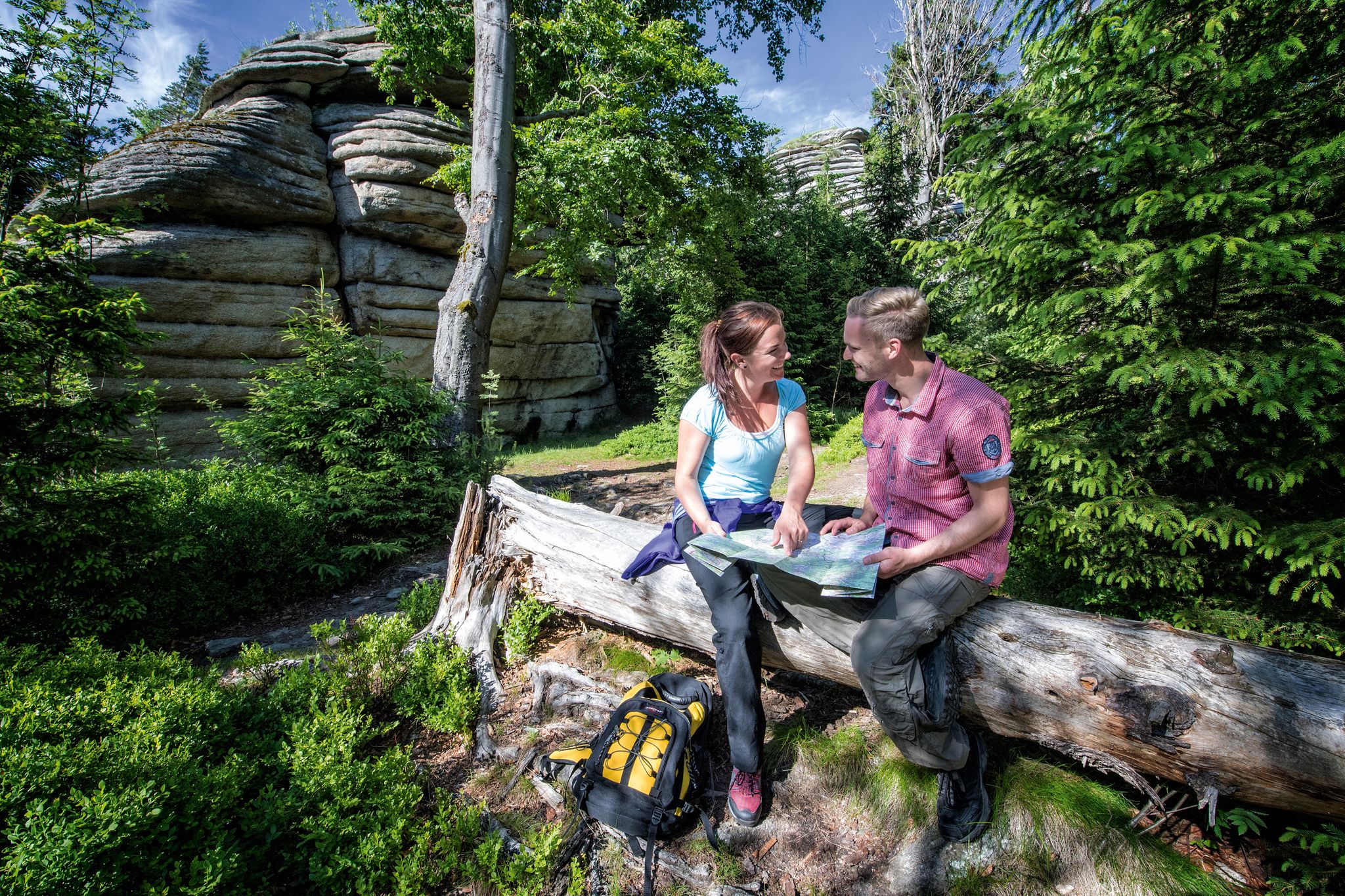
The Franconian Mountain Trail – 21 Stages of Magical Summit Bliss
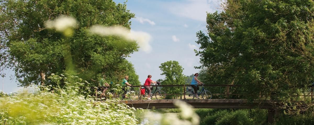
The most beautiful long-distance cycle paths in Franconia
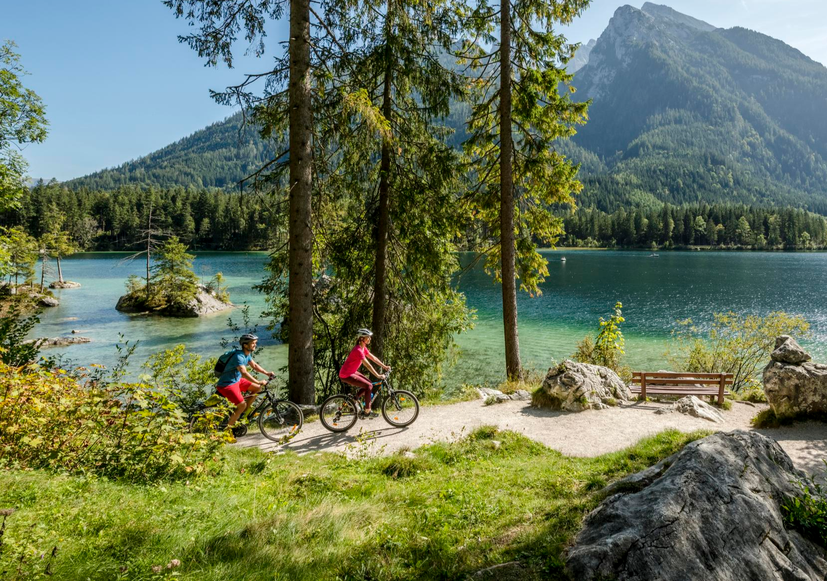
Discover Germany's diversity on enchanting cycling routes
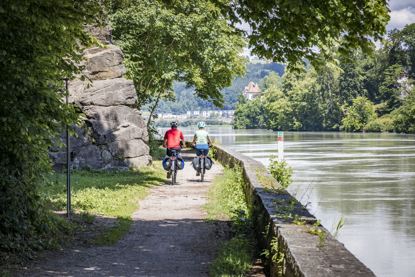
Kilometres of cycling fun – long-distance cycle routes in Bavaria
The Main Cycle Route - 12 days of river diversity
Cycling around Creußen
Road Cycling Routes around Creußen
MTB Trails around Creußen

Gravel biking around Creußen
Running Trails around Creußen
Other adventures around Creußen


Tips from the Community

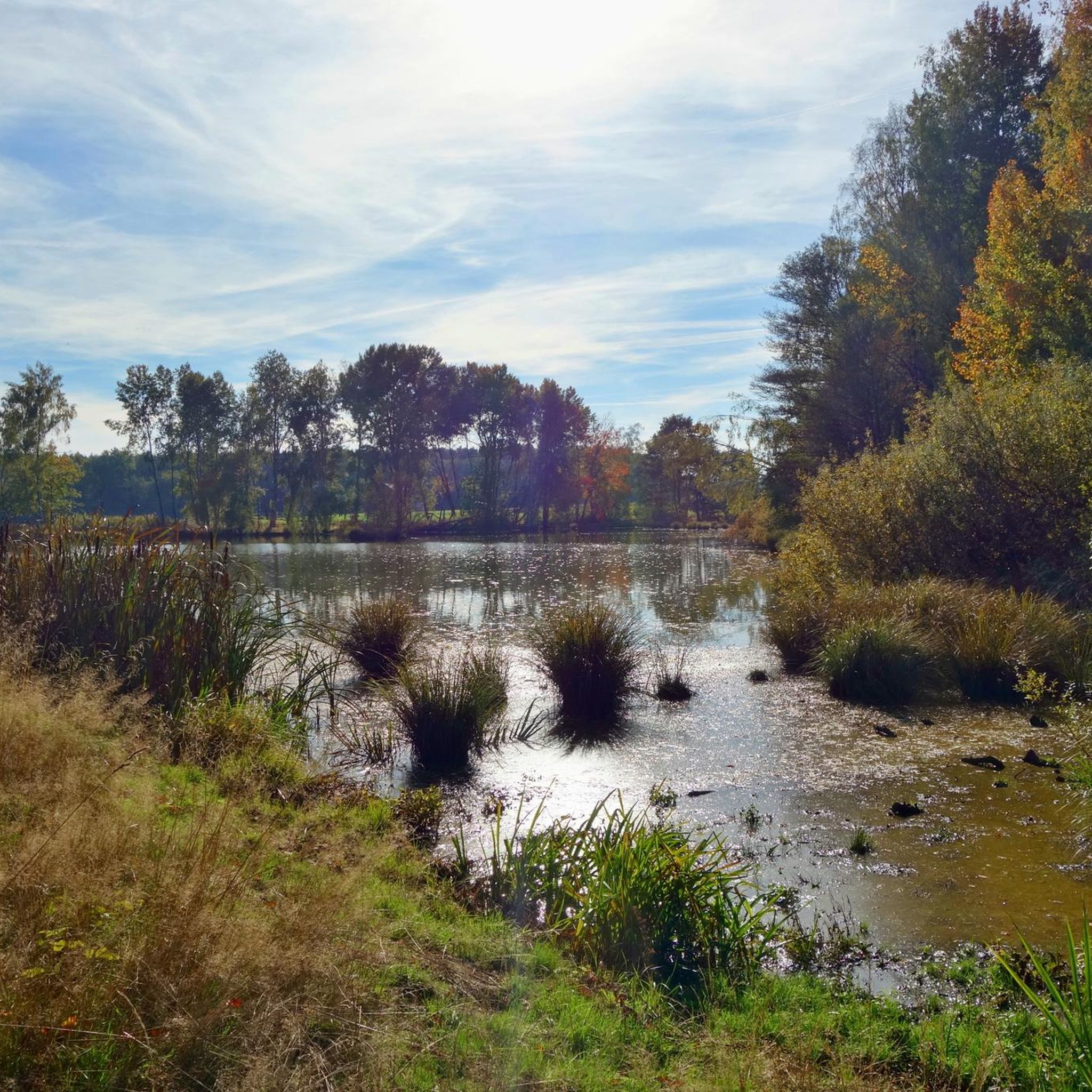
Beautiful pond located in a nature reserve near Schnabelwaid. Plenty of nature here. Many animals and aquatic creatures can be observed. A bench invites you to pause. Useful equipment: suitable outdoor clothing, mosquito and sun protection, and binoculars 🔭☀️🐟
0
0
Wooden bird watching hut with benches and bicycle parking. From here you have a beautiful view of a part of the lake. You can observe birds in the Craimoosweiher, protected from sun and rain. Useful to bring: binoculars 🔭🦢🦆
0
0

Nice place to take a break while hiking. There is a large horse farm next door.
0
0
Information board about the Jakobusweg and the small loop near Creußen
1
0
Nice benches at this crossroads along the paved path.
1
0

Not to be confused with the Weiherfelsen! Approximately 30 meters further on, in the direction of Bockmühle, you will find more small sandstone caves and cavities. Nettles make access difficult.
0
0

Like most river sources, it's rather unspectacular, but if you're planning to cycle the Main cycle path anyway...
2
0

Great property, very well maintained and lovingly designed.
0
0
Frequently Asked Questions
How many hiking trails are available around Creußen?
There are over 80 hiking trails available around Creußen, offering a wide range of options for different preferences and skill levels. These include 35 easy routes, 47 moderate routes, and 1 difficult route.
What do other hikers enjoy most about the trails around Creußen?
The hiking routes around Creußen are highly rated by the komoot community, with an average score of 4.7 stars from over 190 reviews. Hikers often praise the diverse landscapes, from rolling hills and dense forests to serene river valleys, and the variety of trails suitable for different ability levels.
What kind of landscapes can I expect to see while hiking near Creußen?
Creußen's hiking trails offer diverse landscapes, including access to the Franconian Forest Nature Park, the Fichtel Mountains, and Franconian Switzerland. You'll encounter varied topography, from dense forests and rolling hills to serene valleys and river landscapes like the Rotmain Valley and Laimbach Valley.
Are there easy hiking trails suitable for beginners or short walks?
Yes, Creußen offers many easy trails perfect for beginners or those looking for a short walk. An example is the Craimoosweiher Lake loop from Schnabelwaid, which is a short and easy route around the lake.
Are there any moderate or challenging hikes in the Creußen area?
Yes, while many trails are easy, there are also 47 moderate routes and 1 difficult route for those seeking more challenge. The Viewing bench near Creußen – Haaghöhe Viewpoint loop from Creußen (Oberfr) is a moderate trail leading through varied terrain, offering a good workout.
Can I find trails that lead to scenic viewpoints or natural landmarks?
Absolutely. The region is rich in scenic spots. You can find trails leading to viewpoints like the Neubürg Plateau and Sculpture Park or the Kleiner Kulm Observation Tower. The Schlossberg also offers impressive panoramic views of the entire region.
Are there any circular hiking routes around Creußen?
Yes, many trails around Creußen are circular, allowing you to start and end at the same point. For instance, the Source of the Red Main – Gasthof Zum Fichta loop from Lindenhardt is an easy circular path exploring the river's source.
Are there any hikes that feature lakes or rivers?
Yes, the area features several beautiful water bodies. You can hike around the Craimoosweiher Lake or explore routes along the Rotmain Valley and Püttlach Valley. The Source of the Red Main – Andreas Birkner Hut loop from Schwürz also takes you to the source of the Red Main River.
Are the hiking trails around Creußen suitable for families with children?
Many trails in Creußen are suitable for families. The Schlossberg trail, for example, is known for being family-friendly due to its relatively easy nature and impressive views. Shorter, easy loops like the one around Craimoosweiher Lake are also great options for families.
Are dogs allowed on the hiking trails in Creußen?
Generally, dogs are welcome on most hiking trails around Creußen. It's always a good idea to keep your dog on a leash, especially in nature protection areas or when encountering wildlife, and to respect local regulations.
What is the best time of year to go hiking in Creußen?
The best seasons for hiking in Creußen are spring and autumn. During these times, temperatures are pleasant, and nature displays its most beautiful colors, making for a particularly scenic experience. Summer is also popular, though it can be warmer.
Are there places to eat or drink along the hiking routes?
Yes, the region offers options for refreshments. For example, the Tauritzmühle Beer Garden and Inn and the Kürzdörfer Brewery in Lindenhardt are highlights that can be incorporated into your hiking plans, offering opportunities for a break and a meal.
Are there any caves to explore while hiking near Creußen?
Yes, you can explore the Weiherfelsen Sandstone Cave. An easy loop hike from Haag leads directly to this natural feature, offering an interesting point of interest along your walk.
Most popular attractions around Creußen

Get inspired with the komoot mobile app


Explore more
Browse the best Hikes in other regions.
